Day 22: Shikoku-no-michi Trail

Somewhat confusingly, as well as the henro pilgrim trail, there is also another called the Shikoku-no-michi route around the island. Both are shown in the English guide book and often overlap.

Plastic growing tent

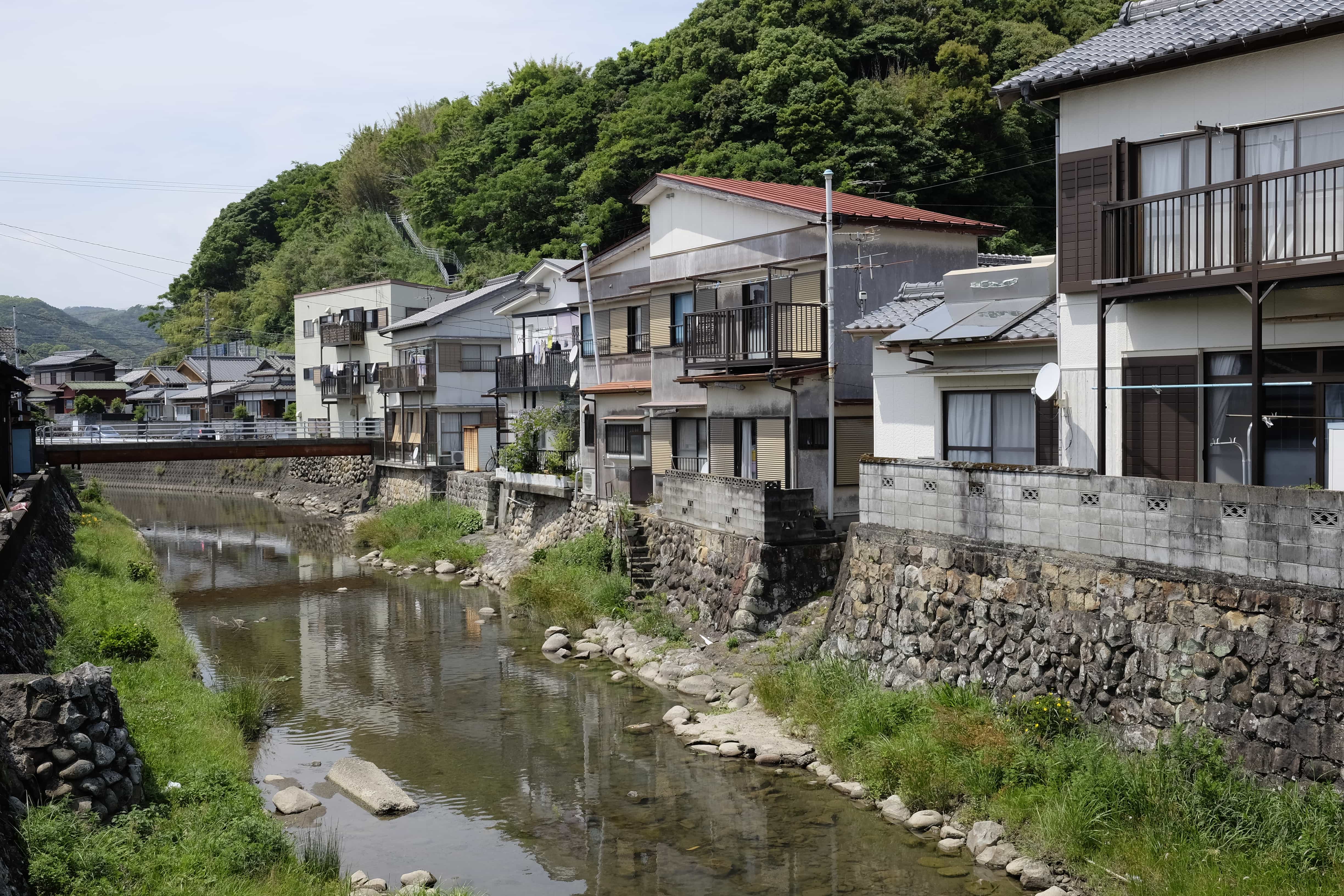
Today was a fairly straightforward 36km walk down to the coast and then along it and, instead of the henro route, I followed the Shikoku-no-michi because it provided a much more scenic path along the back roads instead of the highway.

Elderly farmer

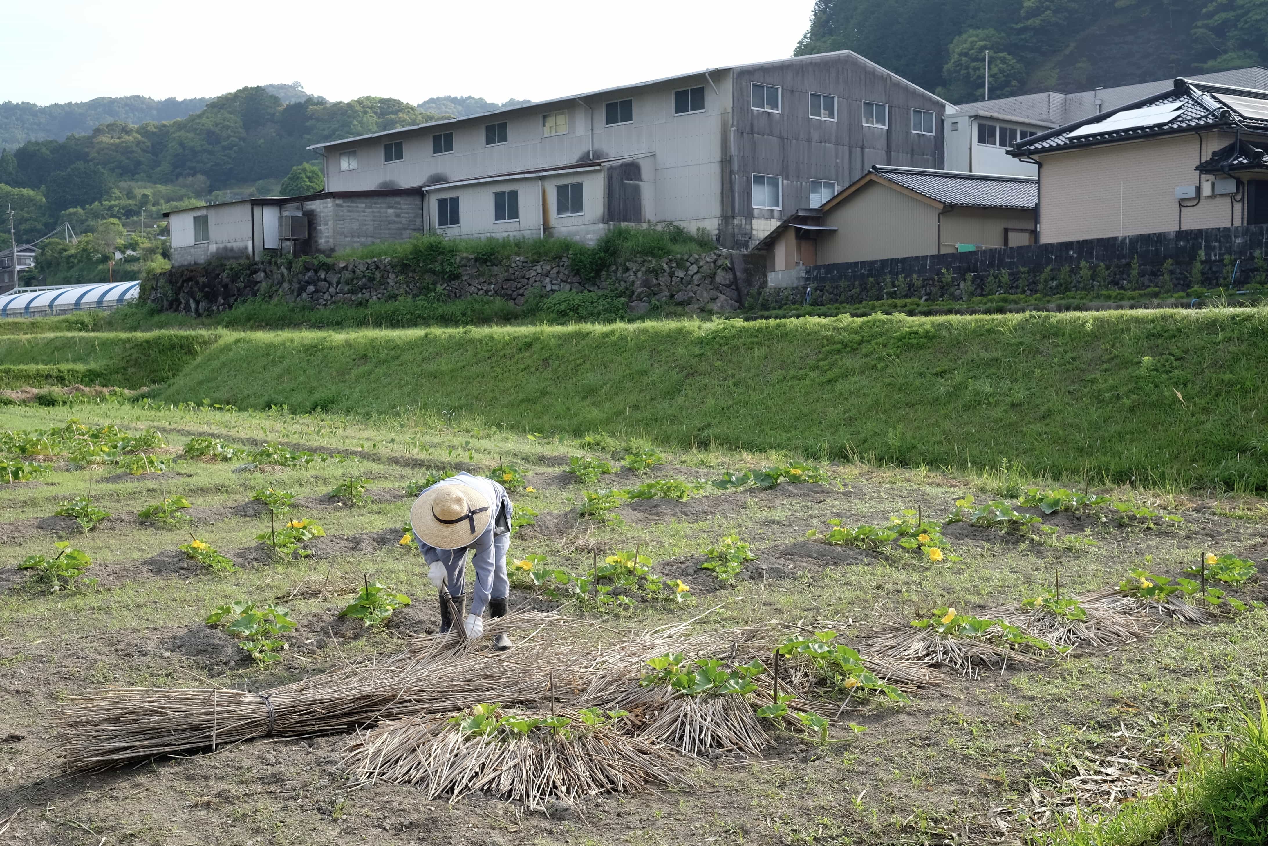
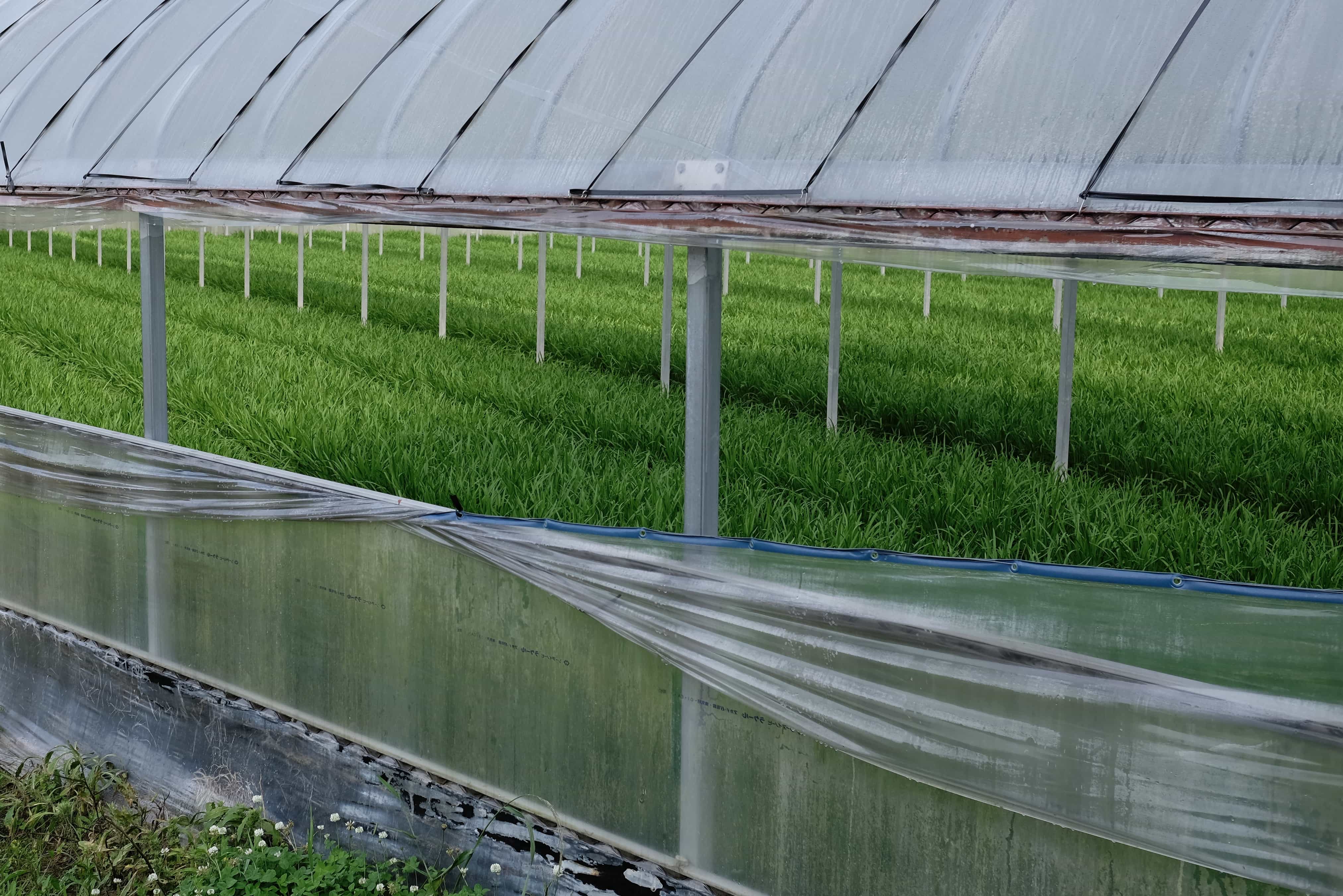
This turned out to be a good decision and I enjoyed a pleasant morning walking through fields watching the elderly farmers at work.

Kumai Tunnel

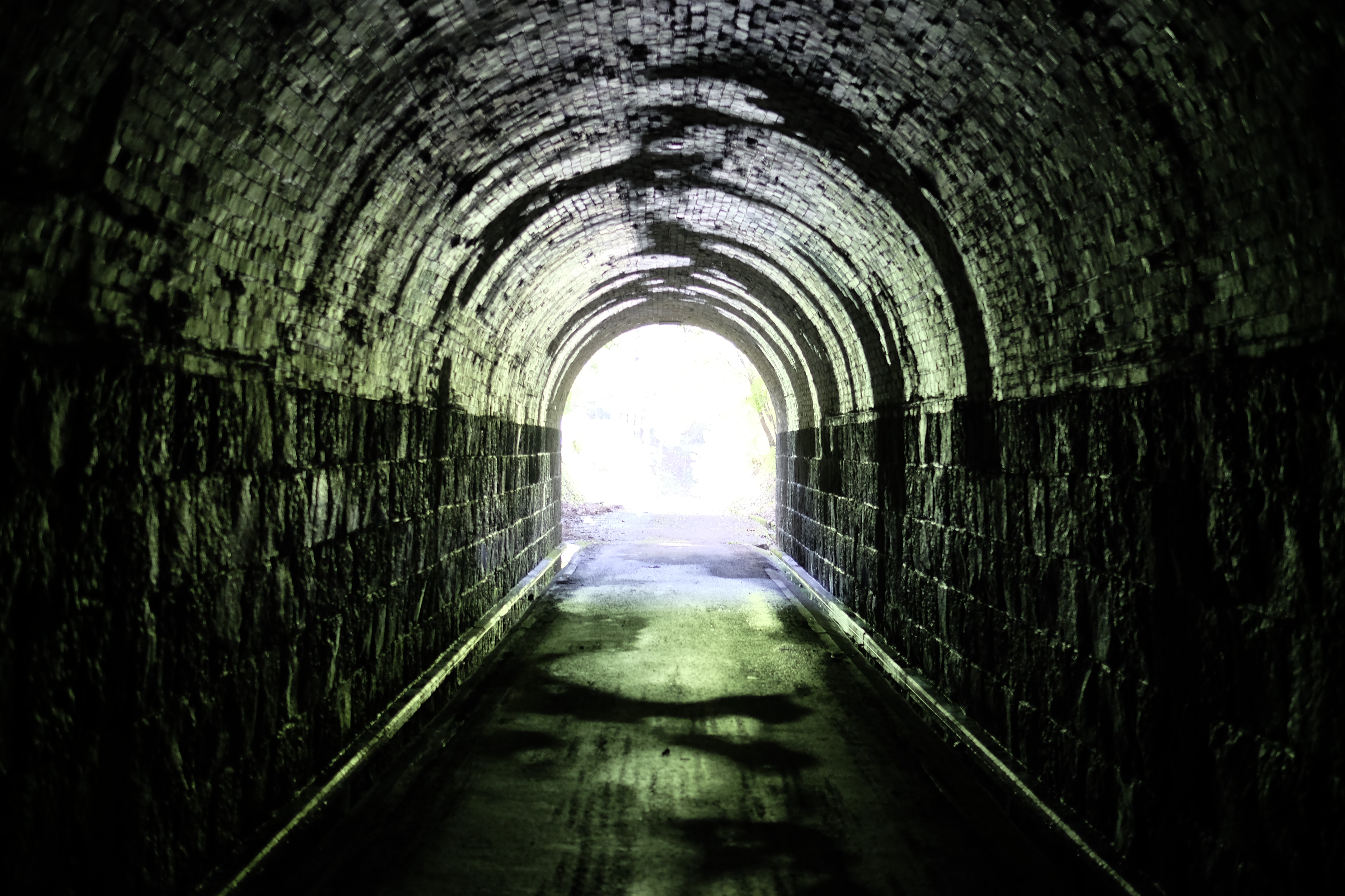
It also included going through the 100+-year-old Kumai Tunnel which didn’t have any lights and thankfully no cars either.

Tosa-shirahama Coast
Tataki donburi

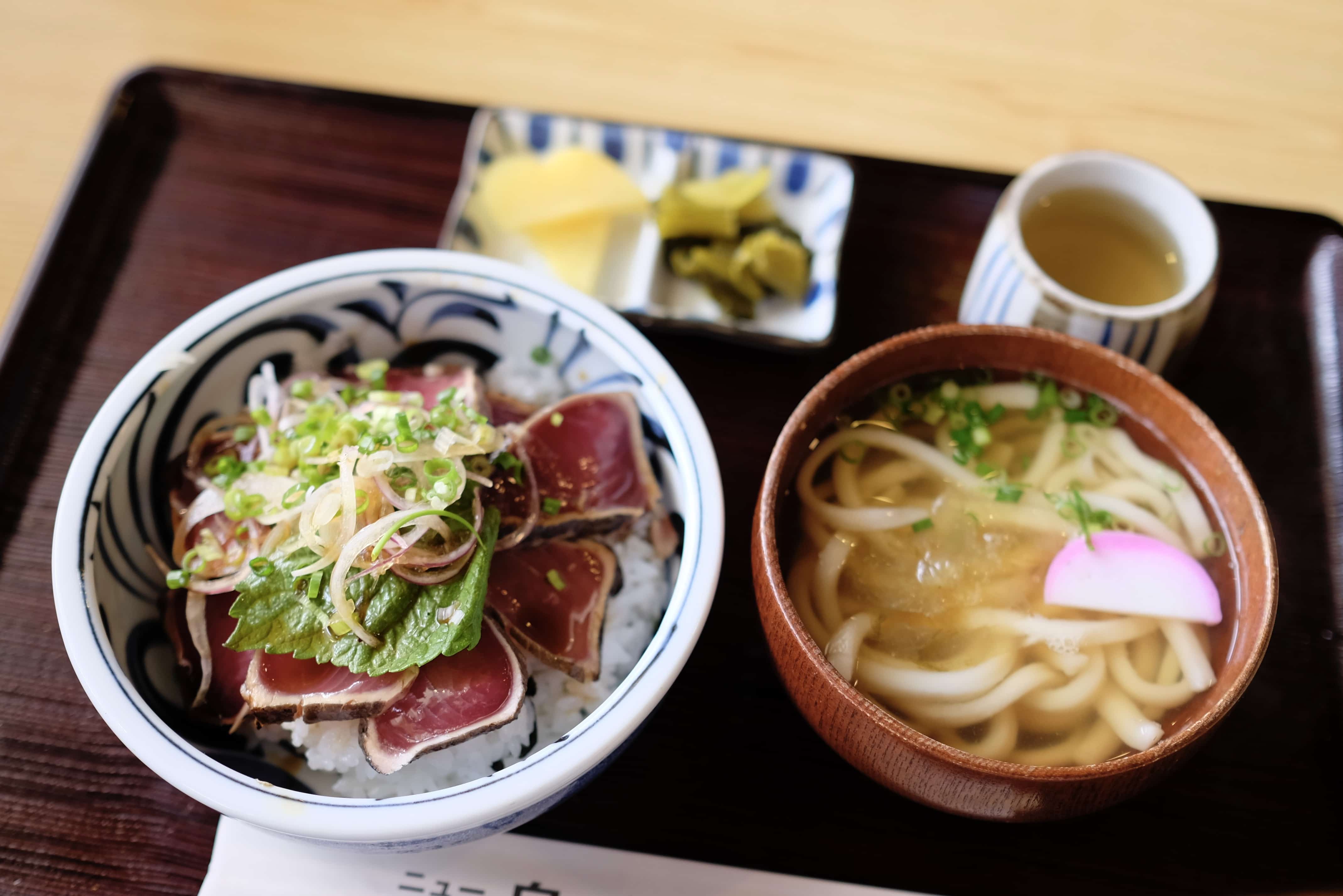
Shortly after reaching the coast, I stopped for lunch near Tosa-shirahama station at the only restaurant in the area. Turns out it serves really tasty tataki donburi with udon.

Cape Ino-misaki

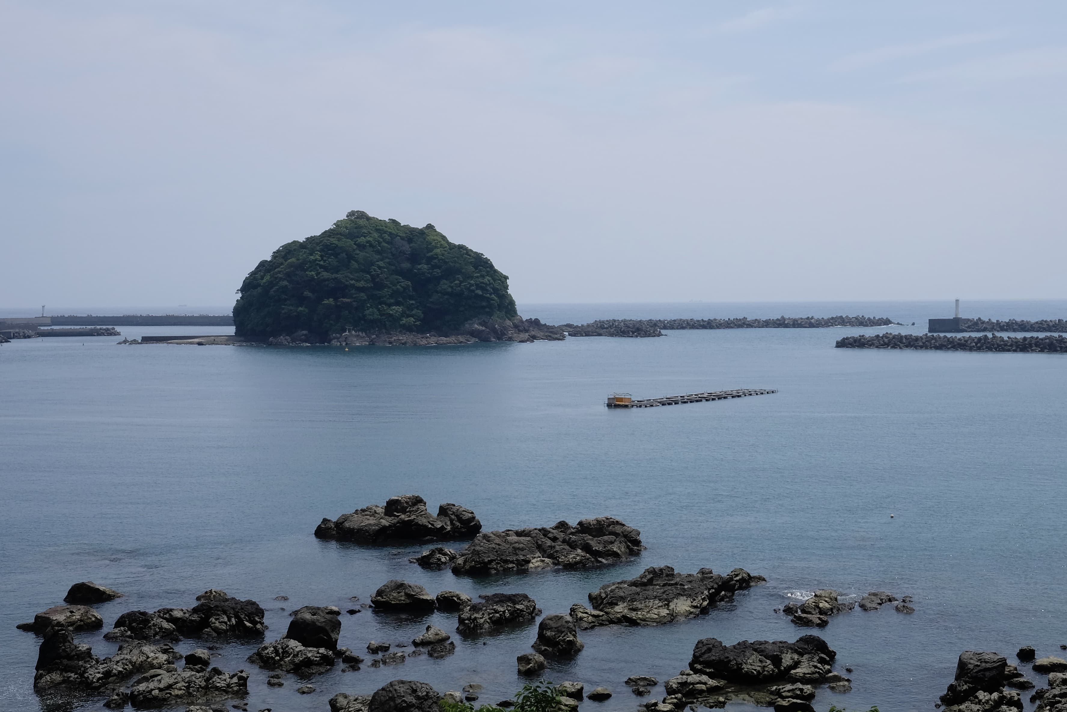
Again, when I got to Cape Ino-misaki I followed Shikoku-no-michi so I could avoid the road tunnel and enjoy the views. It added a couple of kilometres but was very worthwhile.

Irino Pine Coast Camp Site

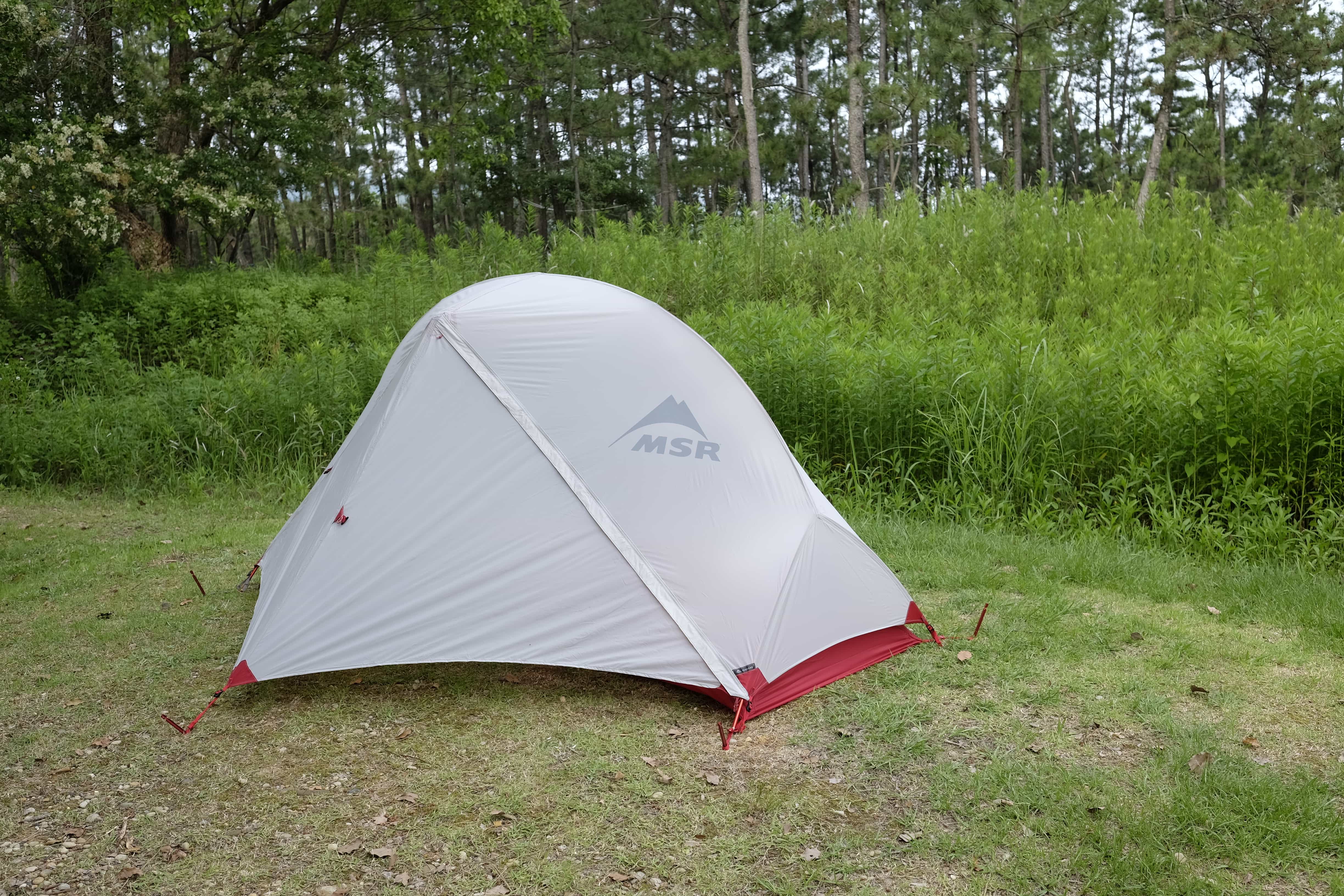
By 3 pm I had reached the Irino Pine Coast where I found a legit camping site to spend the night. You can book a spot at the nearby Bios Ogata michi-no-eki and they have an English-speaking staff member who was very helpful in explaining everything (including a helpful “if there’s an earthquake don’t run into the sea” tip).

He recommended an onsen in the Nest West Garden Tosa hotel nearby where I headed directly after setting up camp for a long soak. The 20-minute walk took me along the beach where many sun-scorched surfers were enjoying the waves.

Udon and tempura

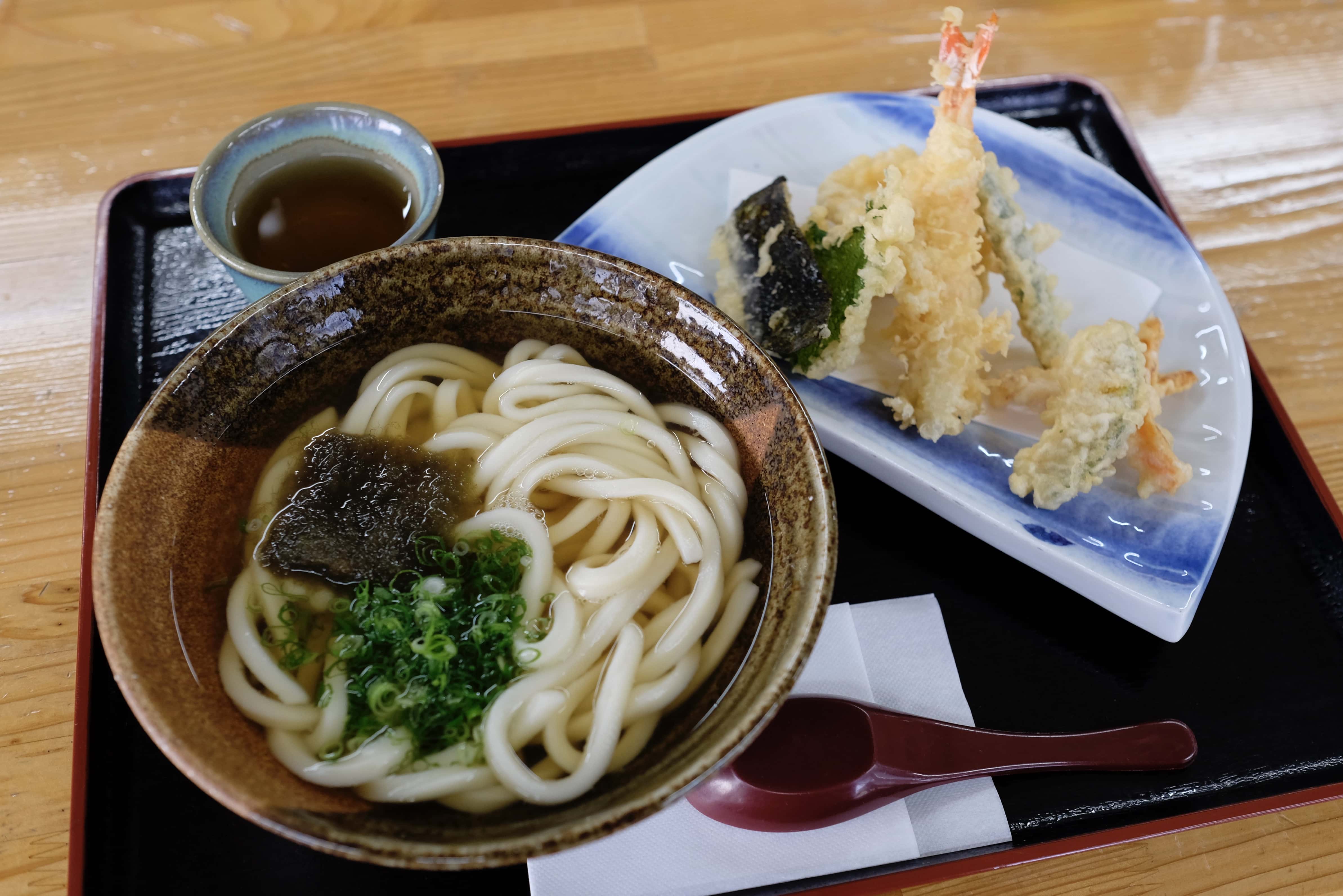
Afterwards, I went back Bios Ogata to have dinner in their restaurant. Udon (again) with tempura. I’m really happy that I managed to avoid any combini food today!

I’ve found over the last couple of days that my mind has been wandering far more often than it has up until now. I think this is because I’ve become more confident in following the trail, judging distances and finding accommodation than I was at the start.

It’s been good to dig through old memories of my childhood and remember people/places/events that I’d almost forgotten. I finished today feeling rather nostalgic.

Kongōfuku-ji (金剛福寺 – 38) is still almost 50km away so I won’t make it there tomorrow but I have a nice place lined up to stay in-between which I’m looking forward to.

Information

Distance walked: 44 km / 56,700 steps
Temples visited: None
Overnight lodgings: Tosaseinan Daikibo Koen Irinomatsubara Camping Ground (土佐西南大規模公園キャンプ場) – Tent

← Day 21 Map Day 23 →

David avatar

12 responses

  1. Chen avatar
    Chen

    if there’s an earthquake don’t run into the sea!

  2. Michael McCarthy avatar
    Michael McCarthy

    Thanks for sharing that last bit about the state of your mind. I’m really enjoying living vicariously through your writing – thanks!

  3. Tiago avatar
    Tiago

    Hey!

    Just a couple of questions, how do you carry your camera around? Do you keep it in your big backpack, carry a separate bag for the camera or simply do you keep it always around your neck?

    And how do you edit and publish your photos here on your blog? Did you happen to bring a laptop?

    Stay strong and happy “trailing”! 🙂

    1. Hey Tiago – unless it’s raining I just carry my camera hung over my shoulder since I use it so frequently. I edit my photos and publish my blog using my iPad; really light and powerful! After I’ve finished the pilgrimage I’ll post a full gear review of everything I’m carrying since I know so many people love that stuff 🙂

      1. Tiago avatar
        Tiago

        Oh, cool! Thanks! 🙂

        What program do you use? Do you take the pictures in JPEG?

        Still, that seems a bit of work, after a day of walking. So, we have to be glad that you take your resting time to do this. Thank you again! 🙂

        1. I’m just using the Apple Photos app plus Snapseed for basic editing. I take RAW+JPEG, although iOS can only edit the jpeg. Takes about 2 hours every evening but I enjoy it!

          1. Tiago avatar
            Tiago

            Thank you for your time on editing and posting photos for us! It’s really wonderful to come here every day and read something about your journey and Japan.

            Good luck on the rest of your journey! 🙂

  4. Nice that you can start to chill 🙂

  5. Hunter avatar
    Hunter

    Great food pictures. I think one of the things which must be at the front of one’s mind on such a long trek is the food one eats every day, and where to get it from. The food looks amazing – it’s one of the things I am most looking forward to.

    Thanks for the advice about the two types of trail. I just got my 88 map guide and was a little confused; so thanks for clearing that up for me.

    1. Glad to hear you got the book, it’s really essential since there are so many deviations you can take!

  6. Hey David!
    It’s already a while ago that you’ve walked the pilgrimage, but maybe you can still help me! I want to hike the pilgrimage, or maybe the Shikoku-no-michi. Since the pilgrimage is mostly in the Highway I’m hoping that the Shikoku-no-michi offers a more beautiful scenery for hiking. What do you think? And which guide did you use (the one with both routes)?
    Thank you so much!
    Best, Lea

    1. Hi Lea – The Henro-no-michi (pilgrim trail) and Shikoku-no-michi (nature trail) are very much intertwined, with the latter offering more off-road than on former. I tried to stay off-road on natural trails as far as possible but you will still end up spending a lot of time on the highway as often it’s unavoidable. The book guide here shows both trails: https://henro.co/route-guide-book/

Reply

Your email address will not be published. Required fields are marked *