After a night of heavy rain, I was pleased to wake up to a dry morning. The little hovel had served me well and, despite a lingering headache (from the altitude?), I was feeling well-rested.
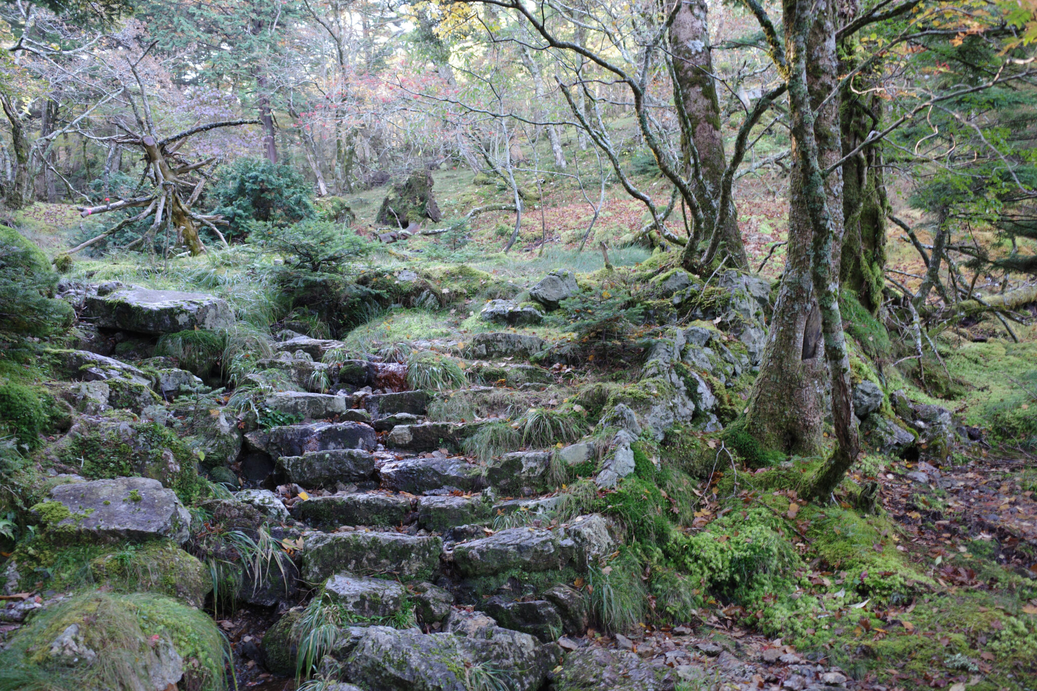
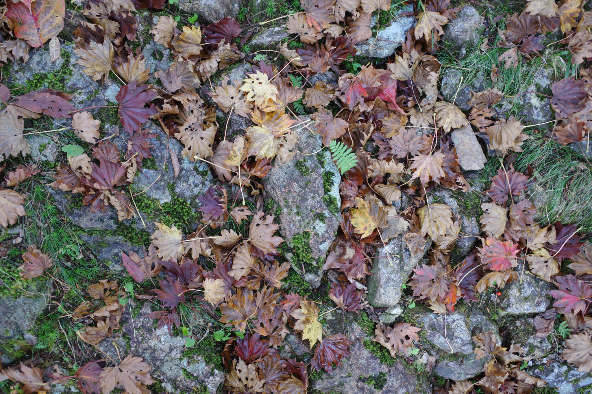
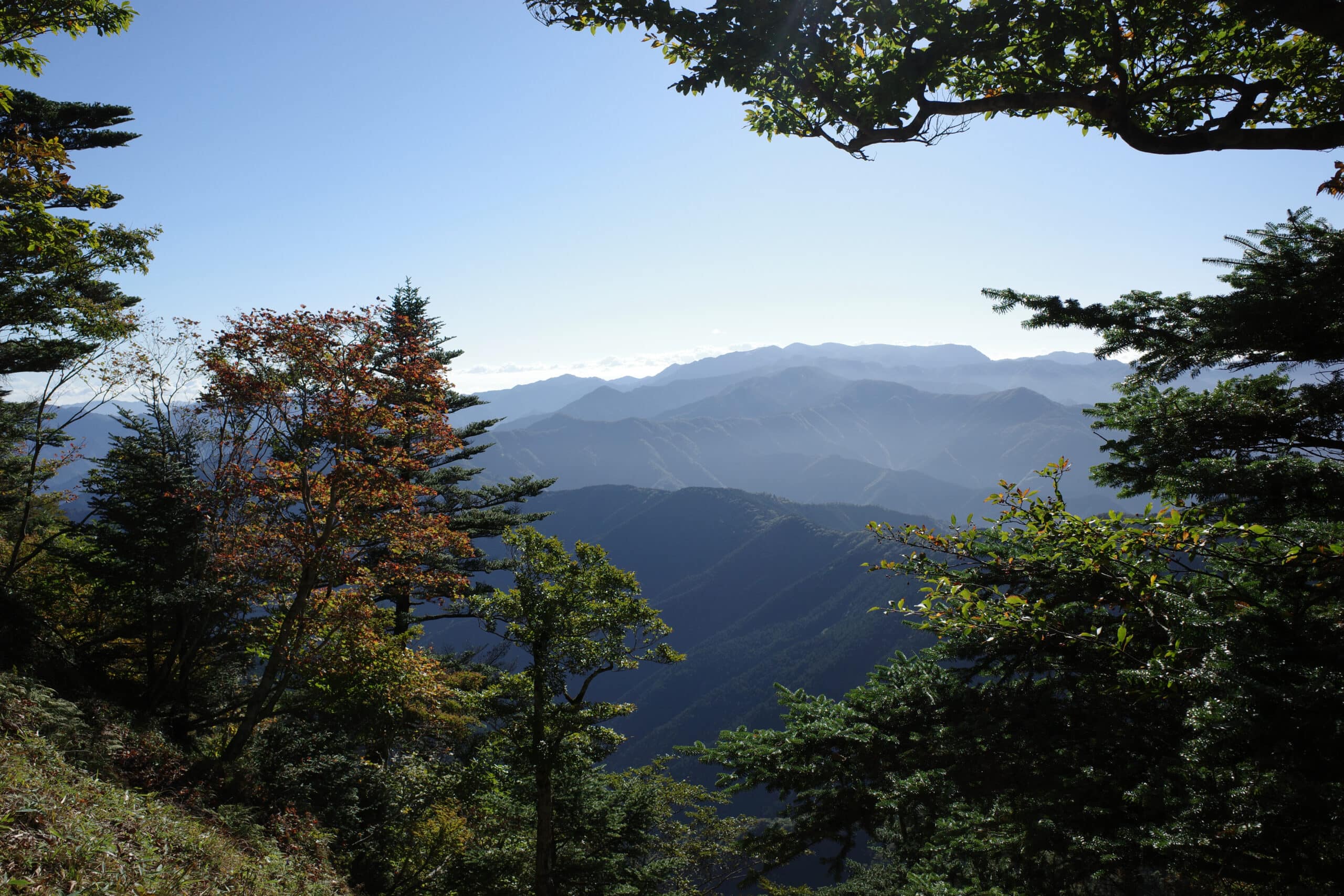
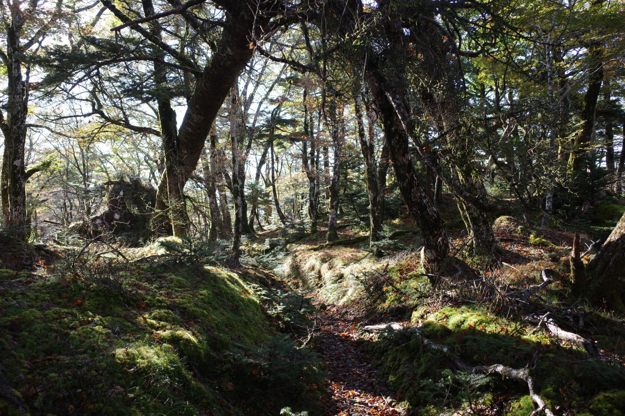
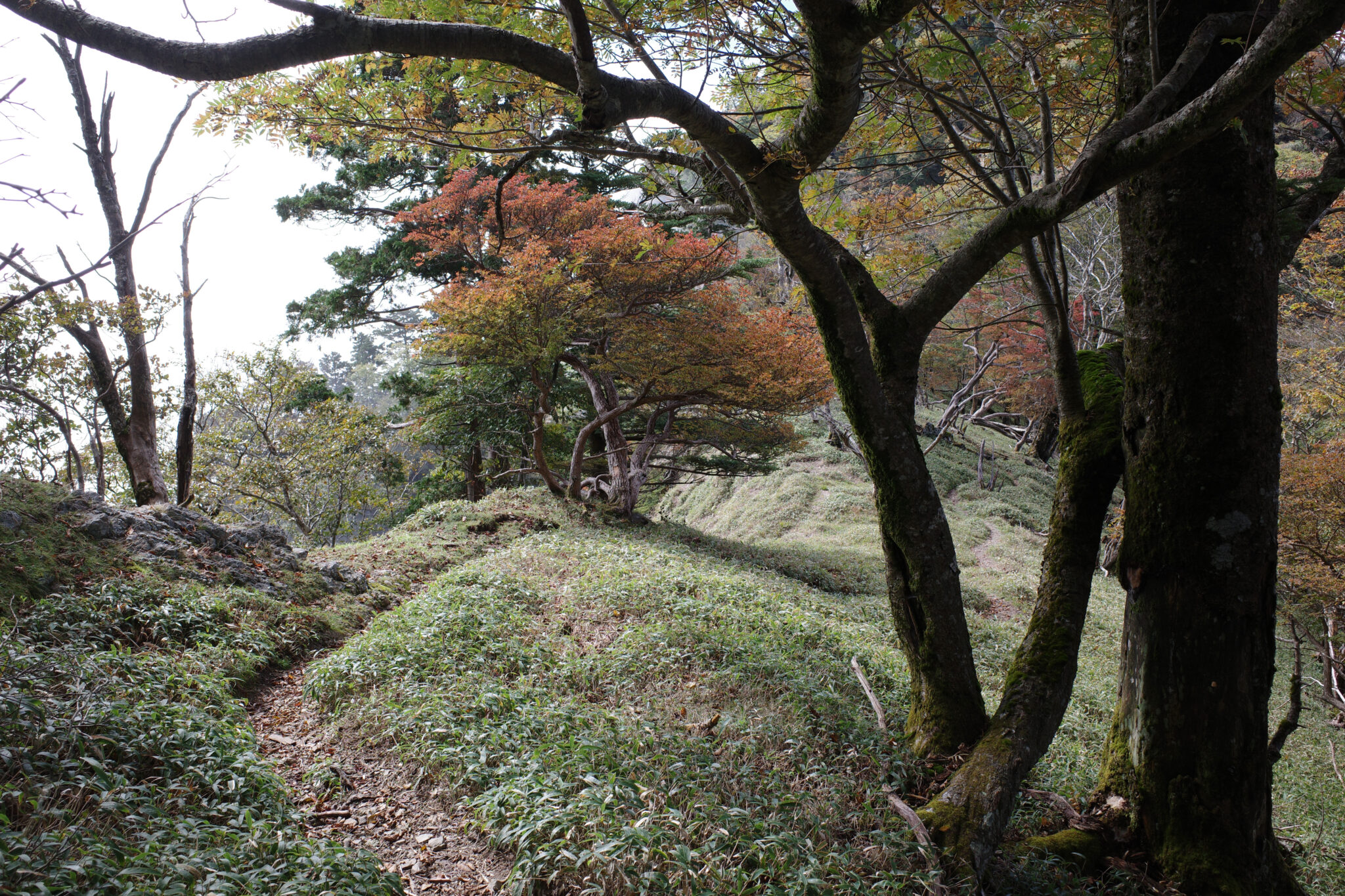
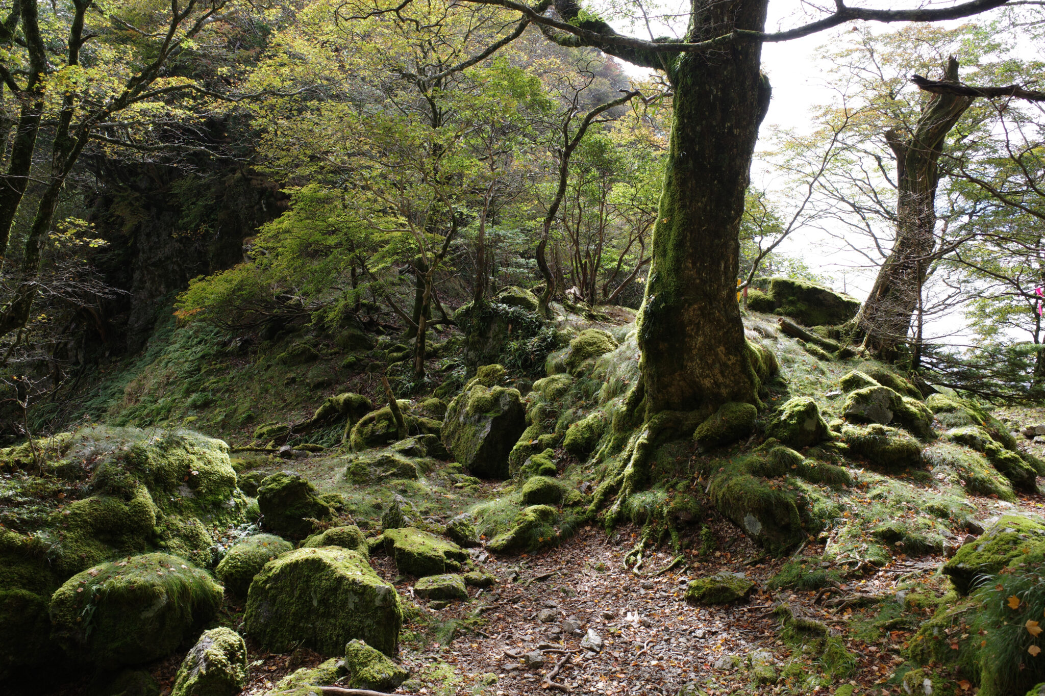
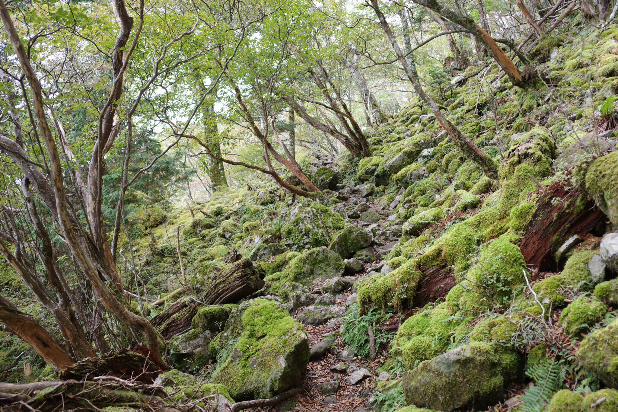
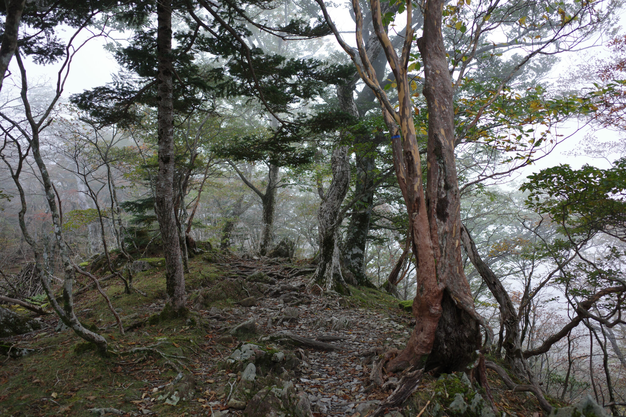
Wet rocks, ferns, moss, and leaves glistened in the early morning light as I trudged my way along the winding path. Snatches of faraway mountains appeared between the trees.
The beautiful surroundings put me in high spirits and I felt an overwhelming sense of gratitude for being able to make this trip. It’s funny how your mood on the trail can fluctuate so wildly between moments of rapturous joy and dejected resignation or even terror depending on the conditions.
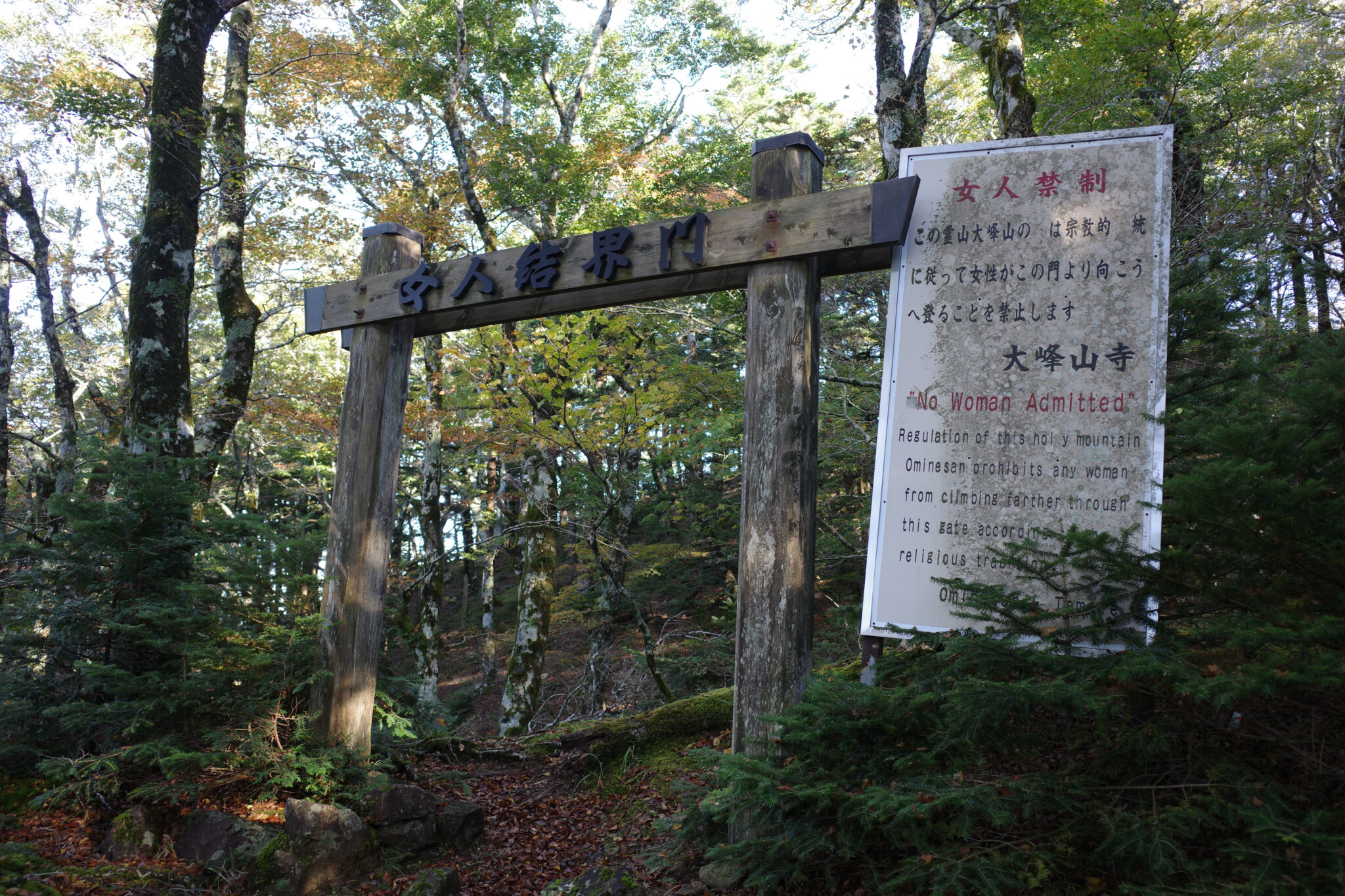
By 8 am I reached the edge of the sacred boundary where women are once again permitted.

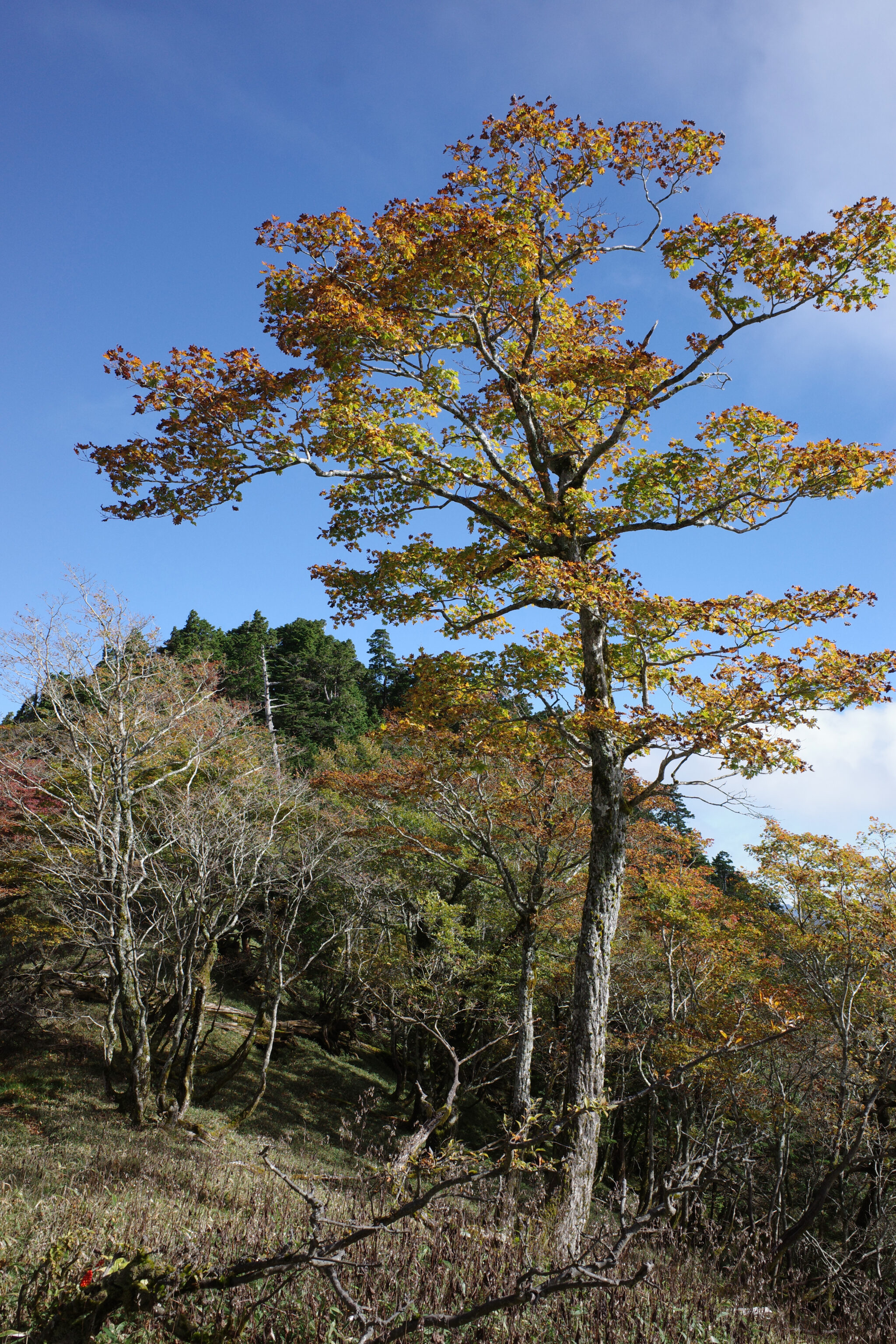
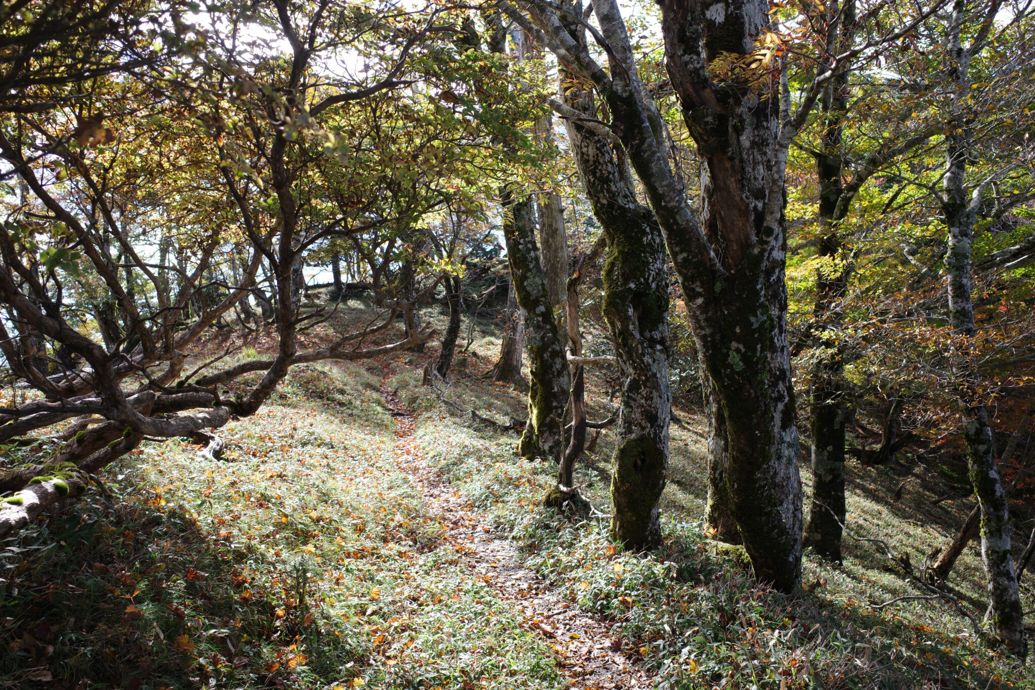
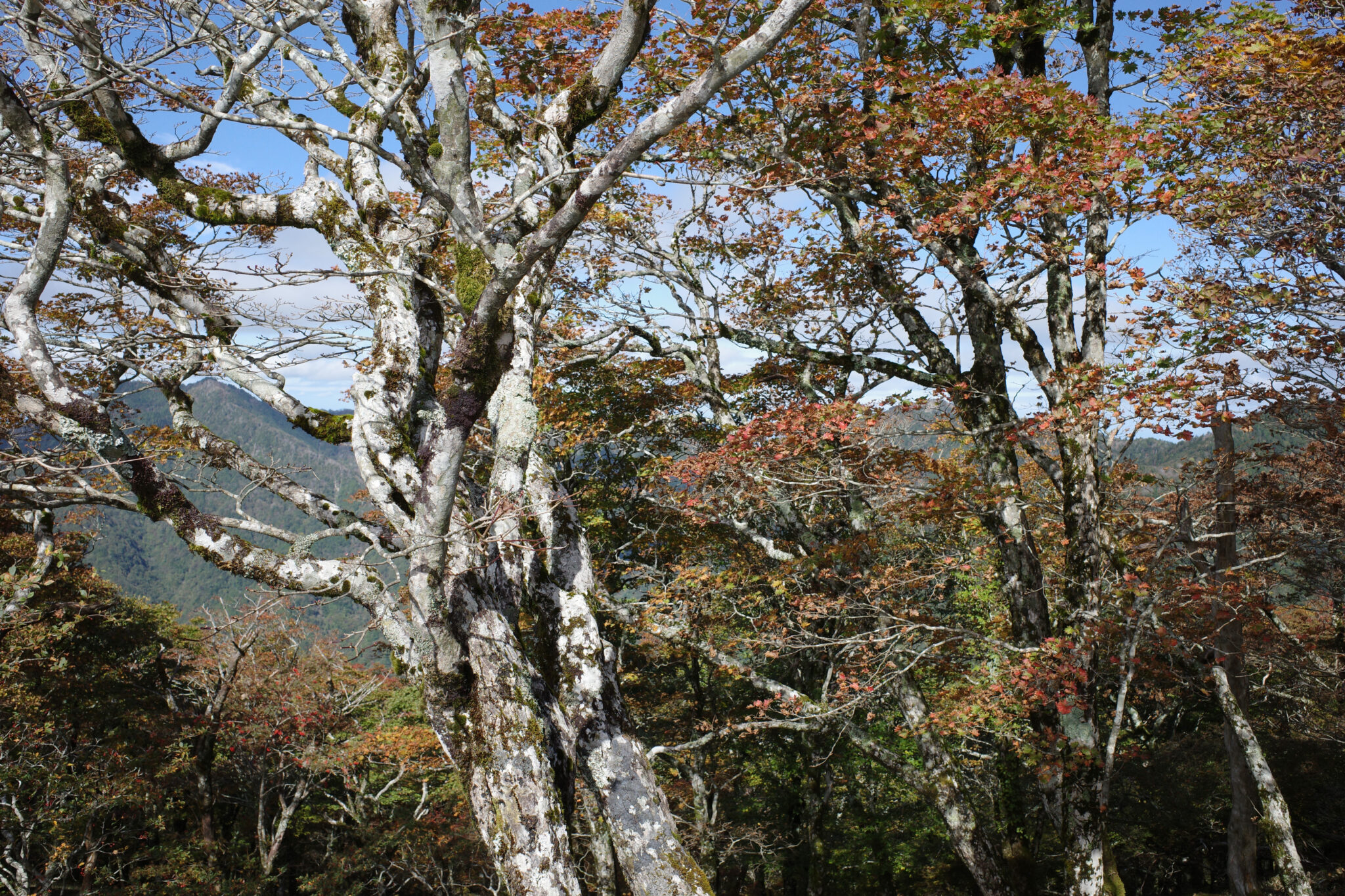
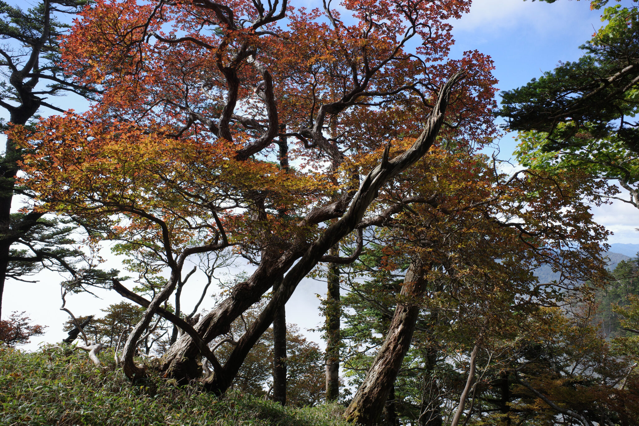
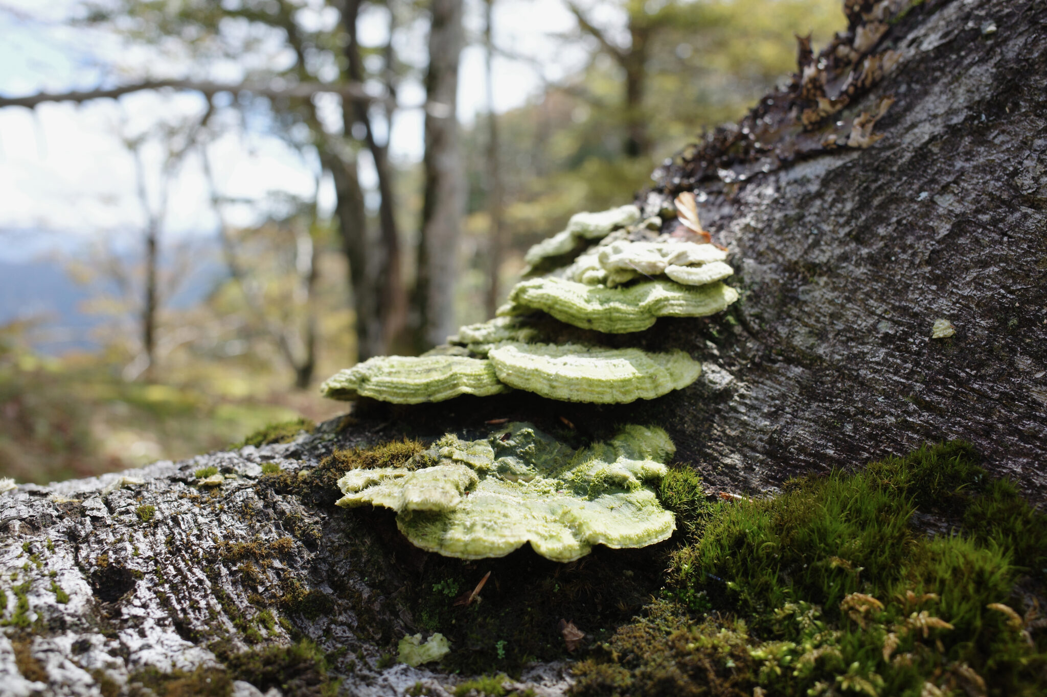
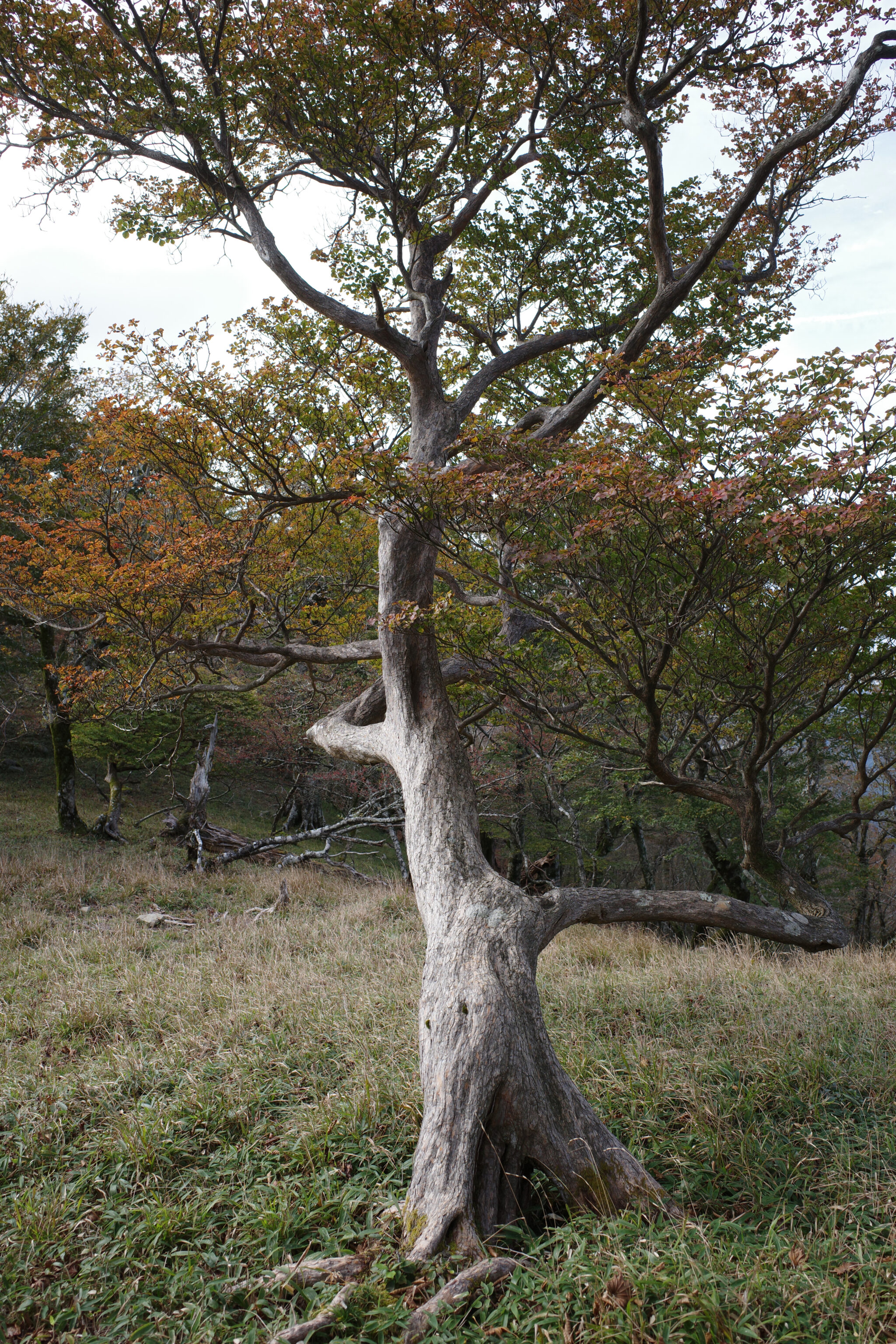
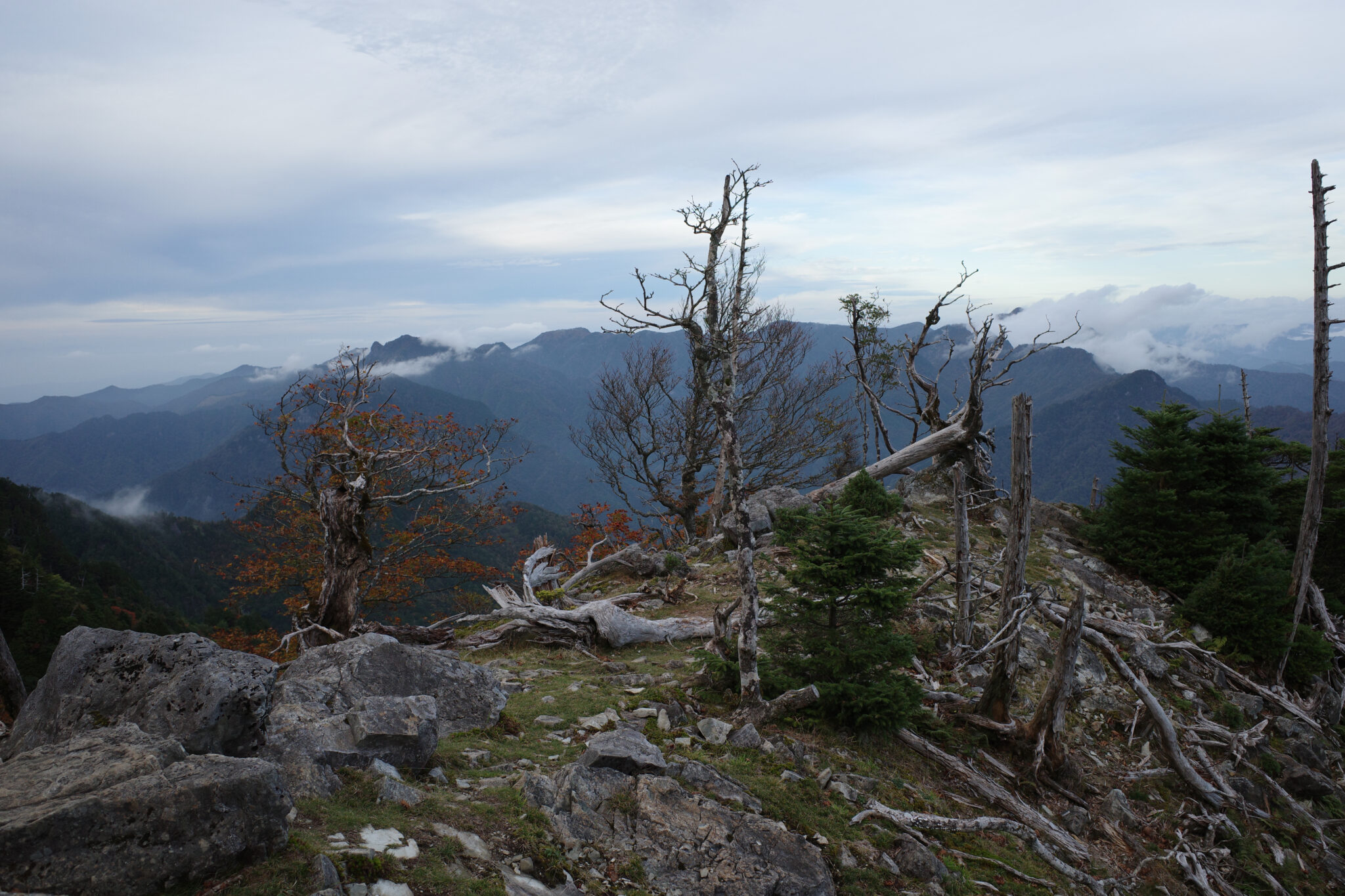
The constantly changing fauna and flora along the ridgeline relieves what could otherwise become a monotonous slog. I particularly loved the twisted beech trees.
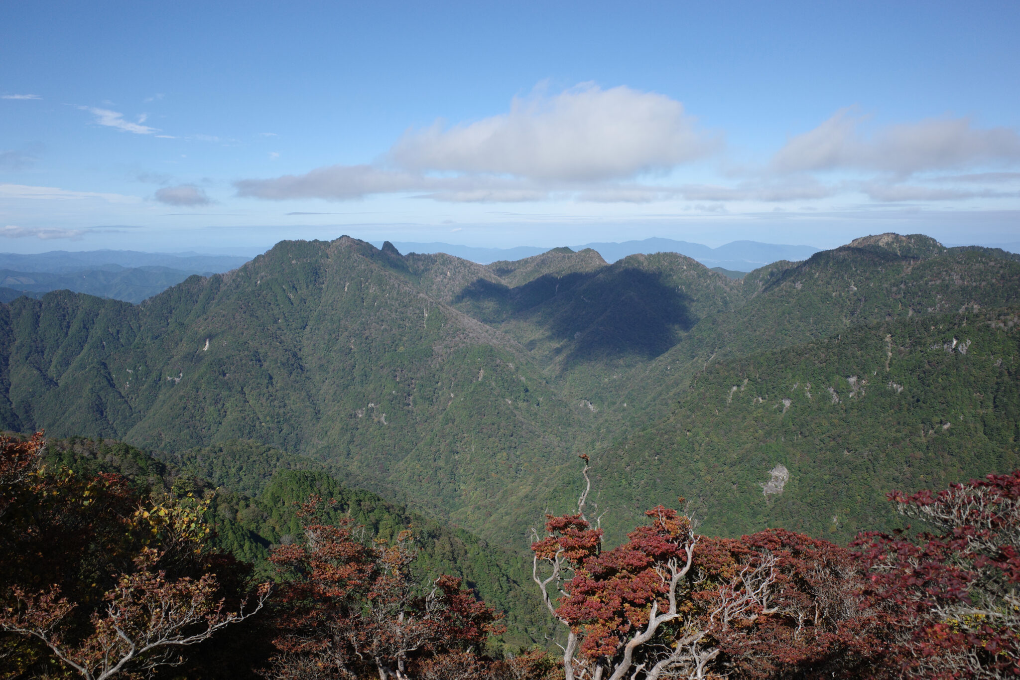

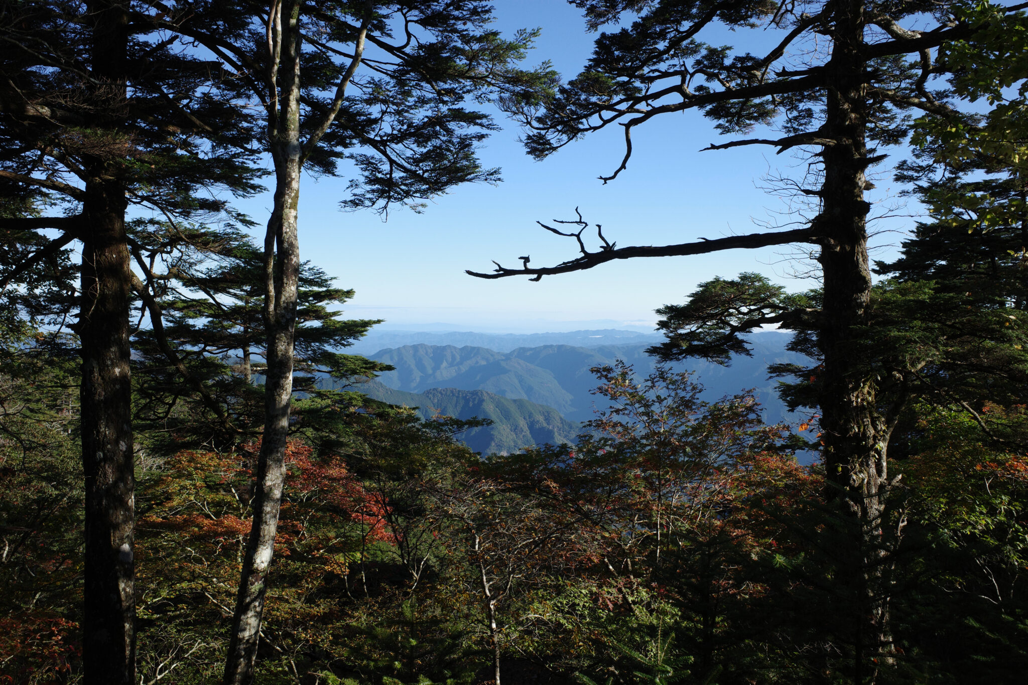
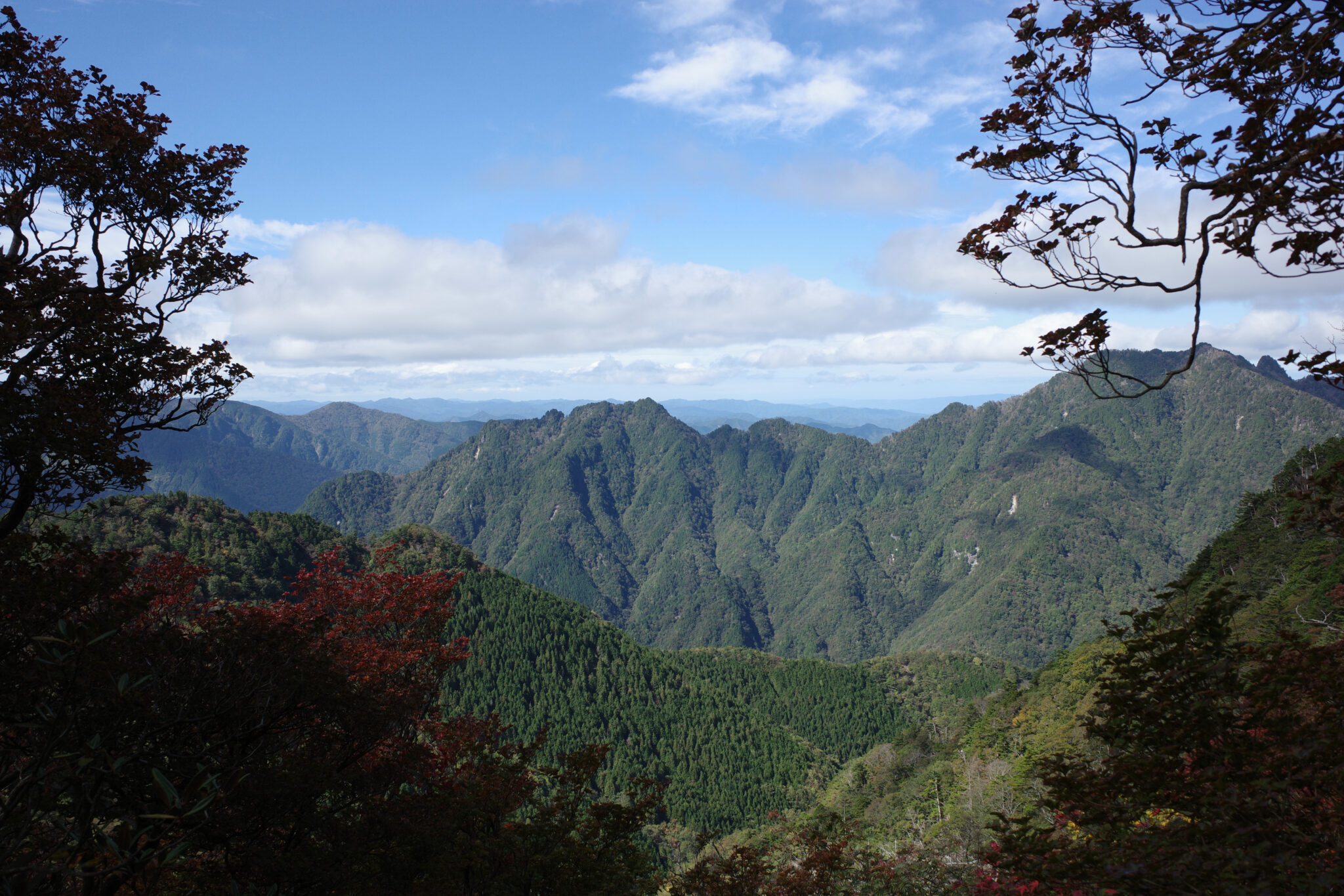
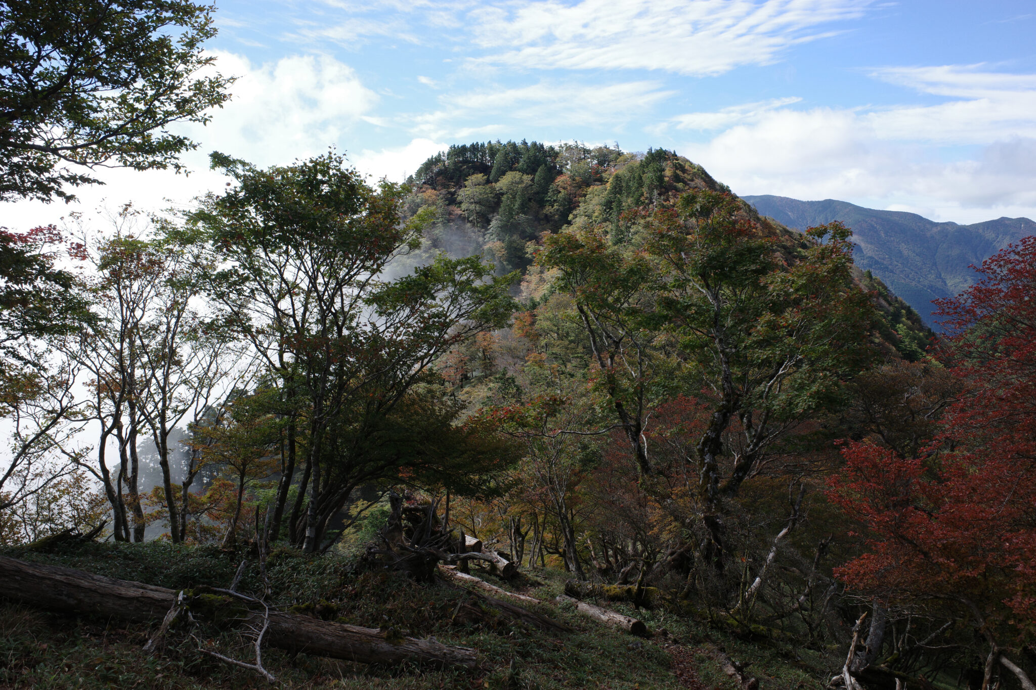
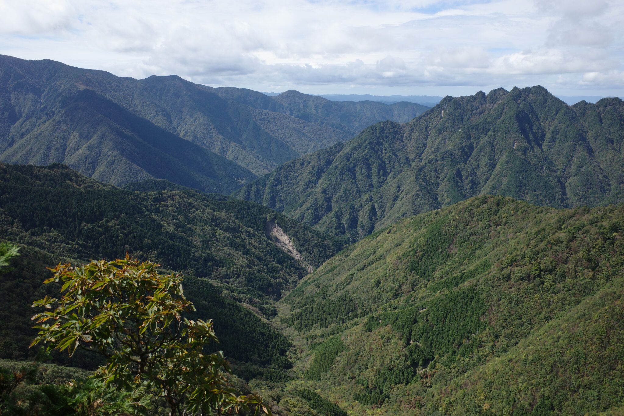
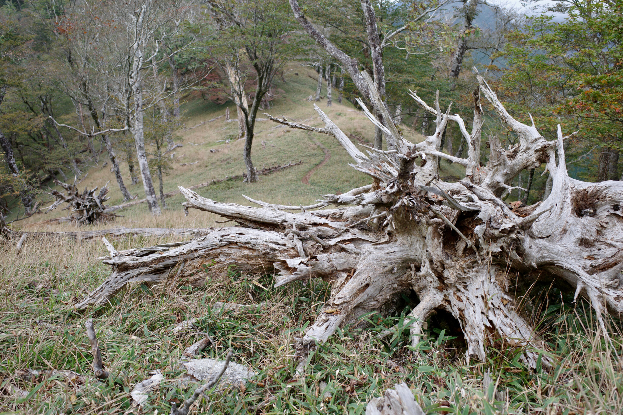
Although you can take a shortcut that avoids the peak of Mt. Daifugendake (大普賢岳), hiking ten minutes to the top is well worthwhile. At 1,779 m, the views are spectacular and I was struck by the lack of any signs of human habitation for as far as the eyes could see.
I met two women on a day hike who were curious about where I was heading. I envied their light daypacks. When they asked to take a photo with me I crossed my fingers that I didn’t smell too bad!
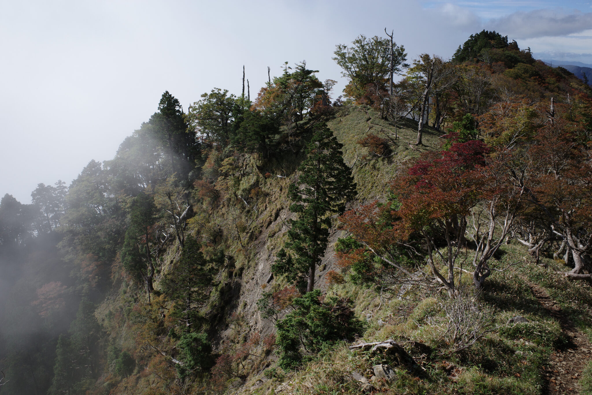
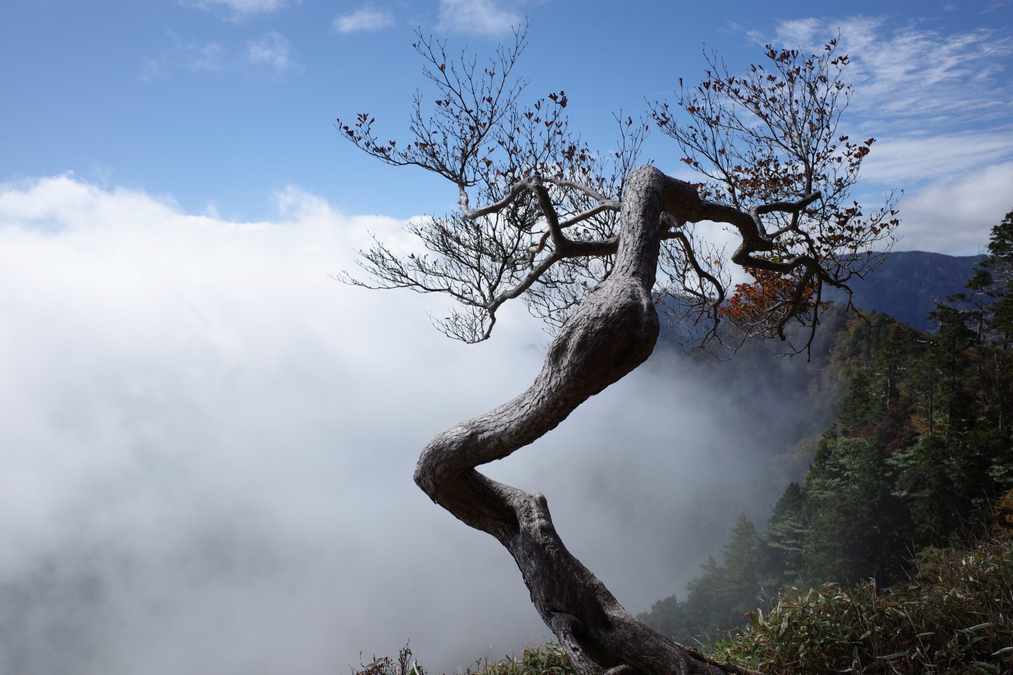
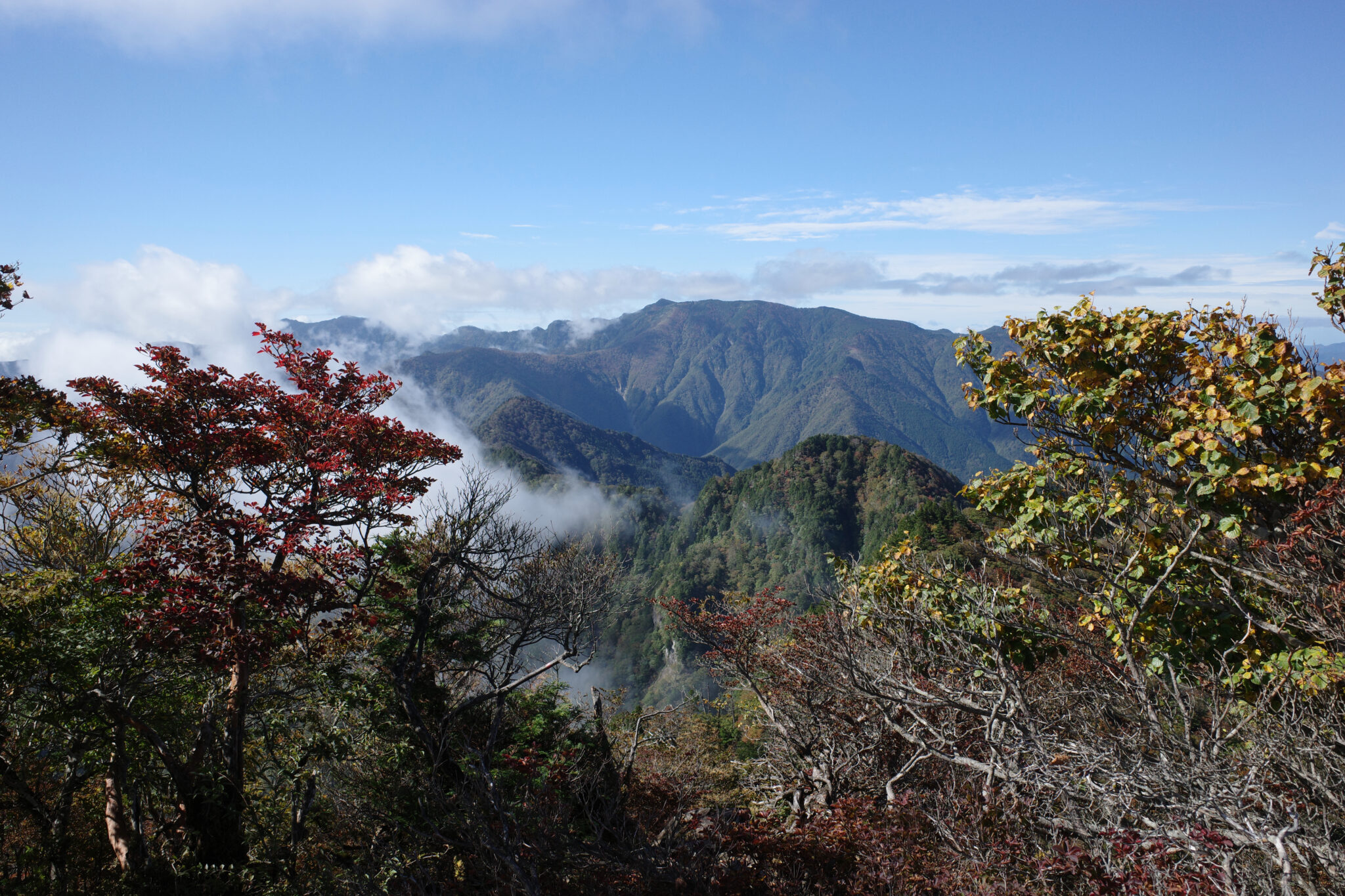
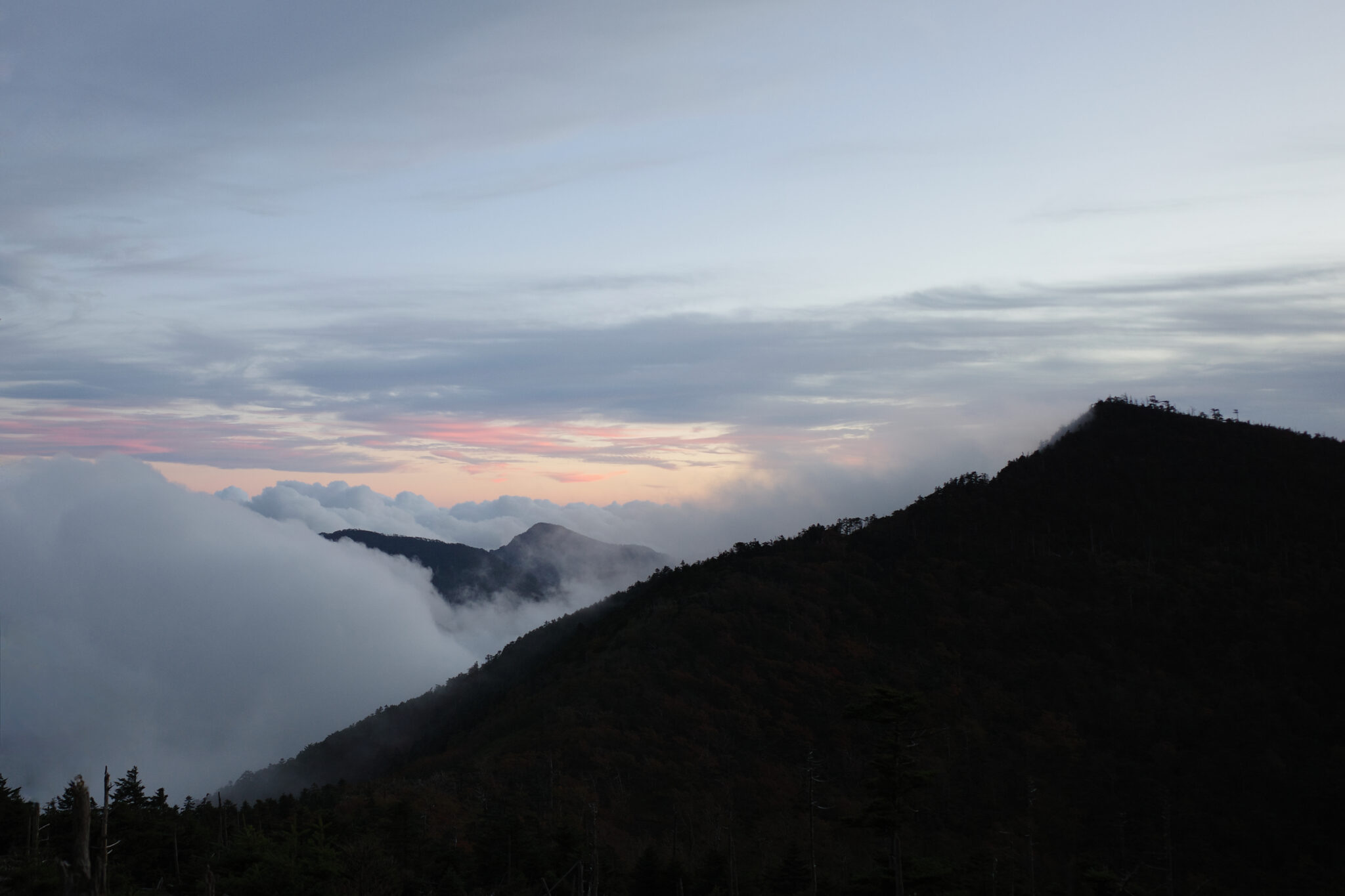
The mist rolled across in waves creating an everchanging landscape that was at one moment wide open and the next claustrophobically closed in. It added a sense of drama to a walk that was already pretty wondrous.
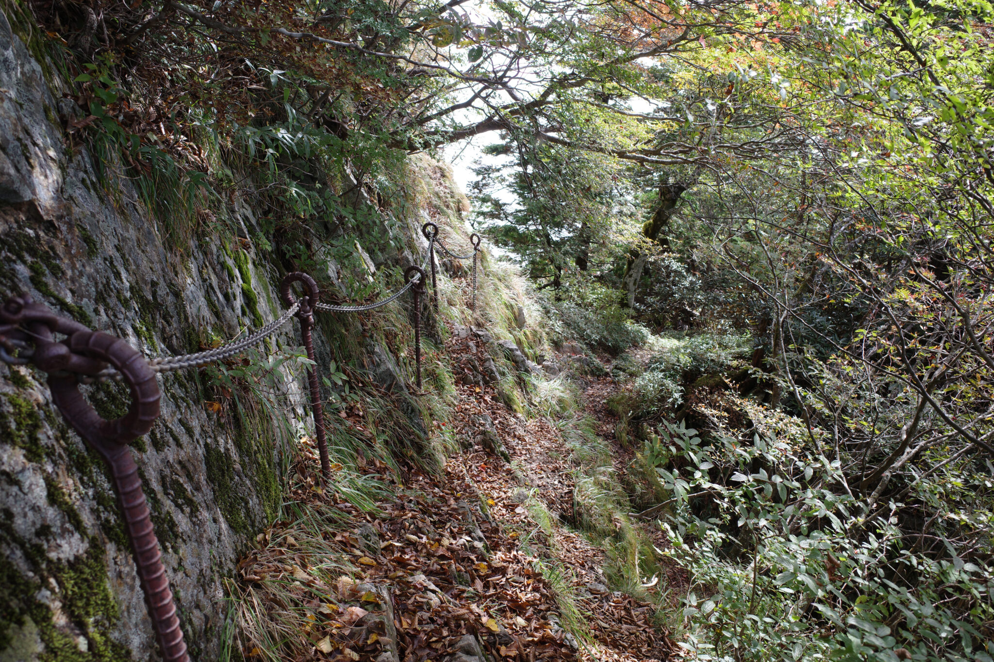
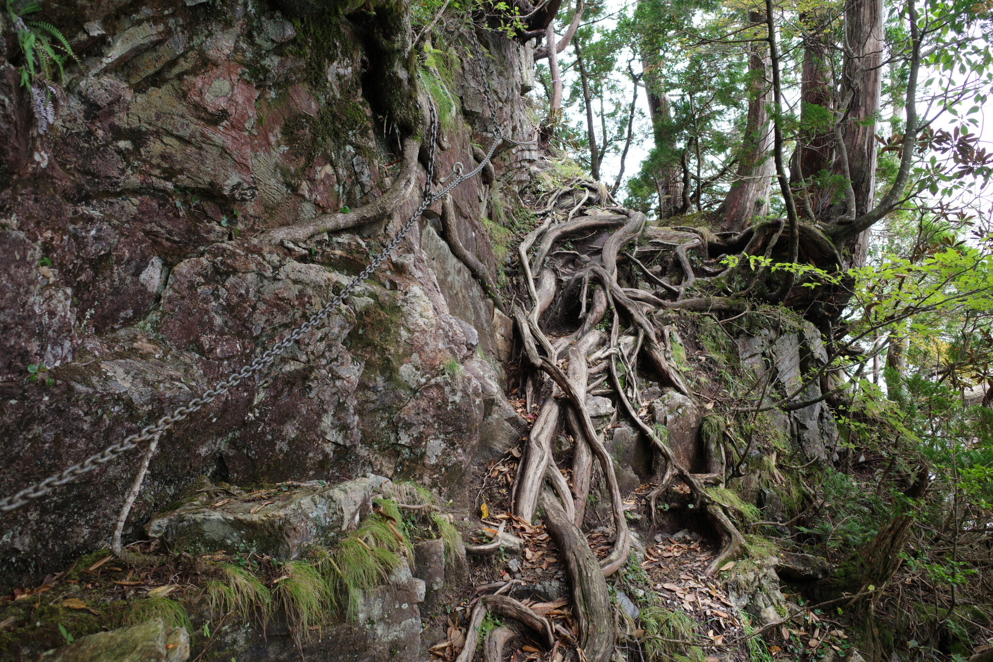
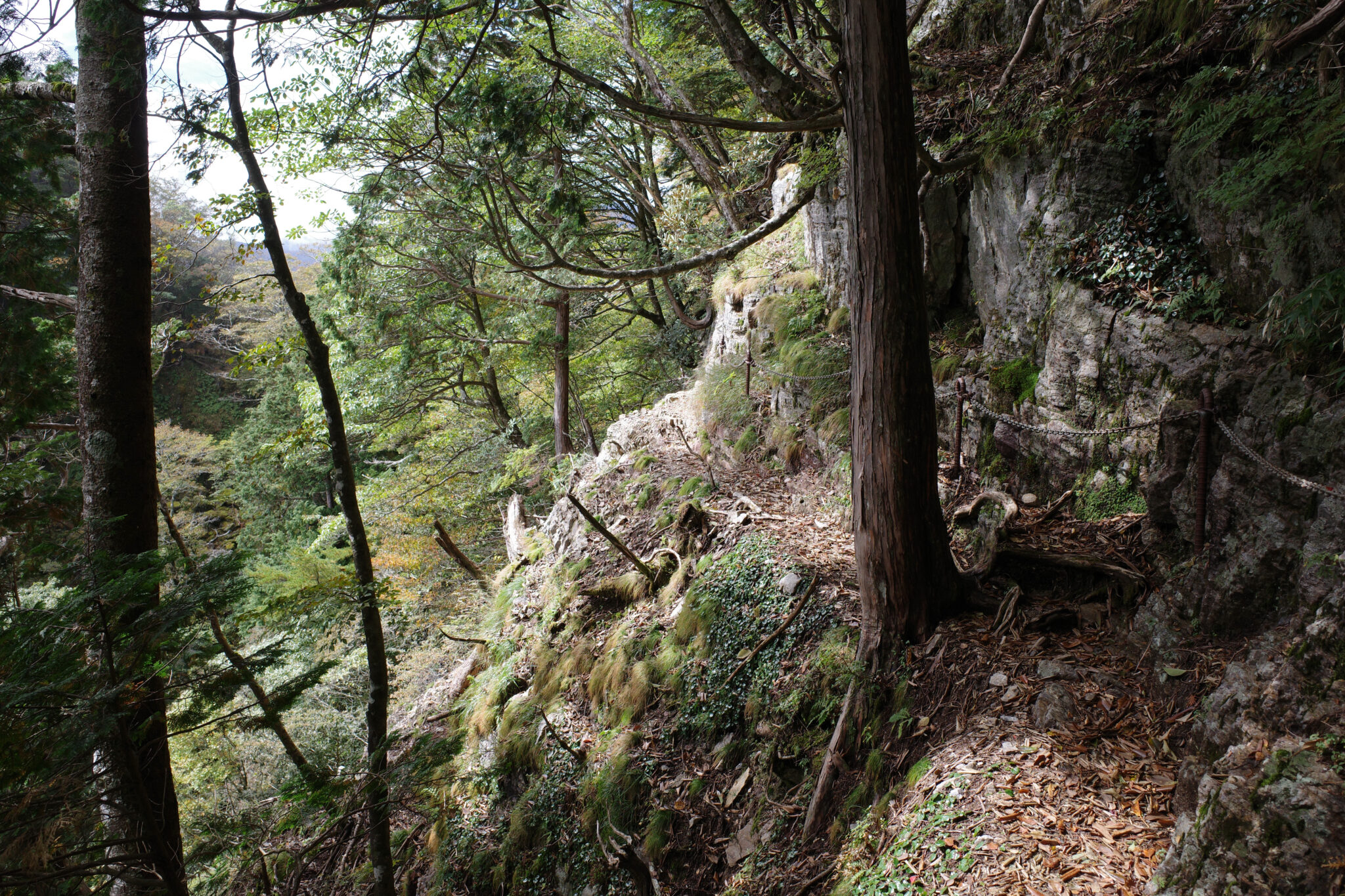
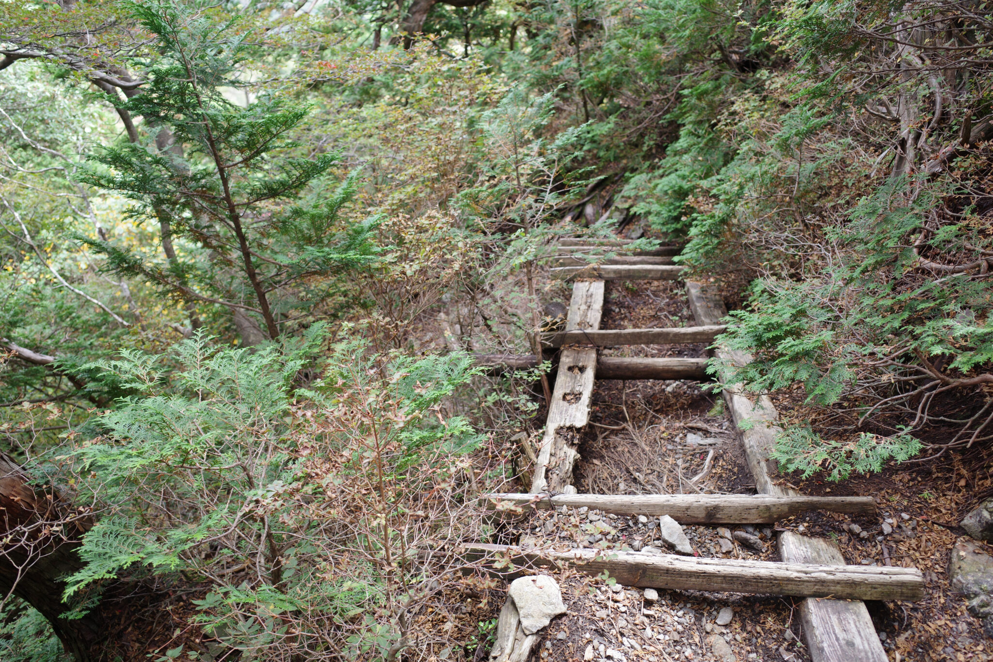
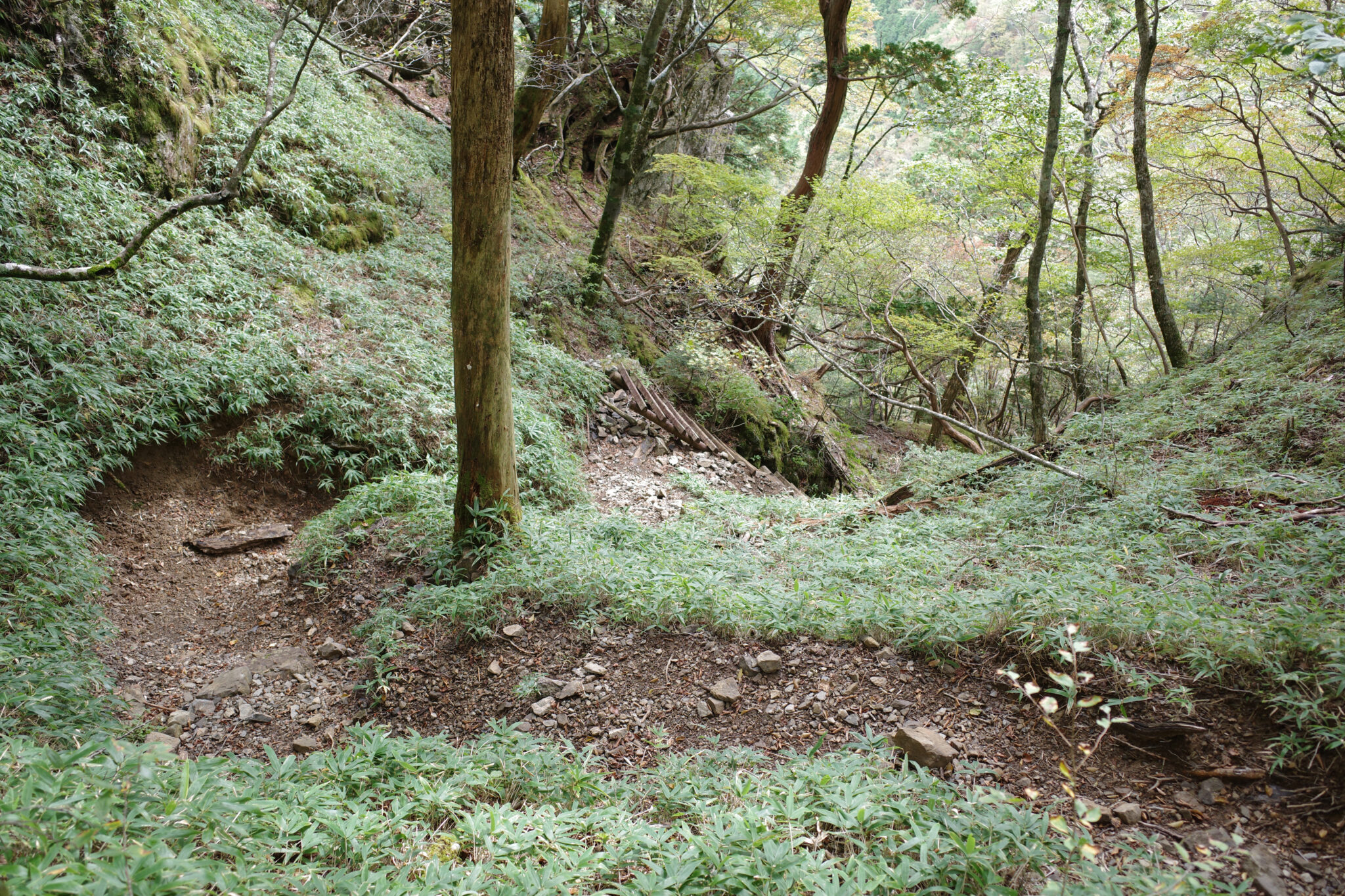
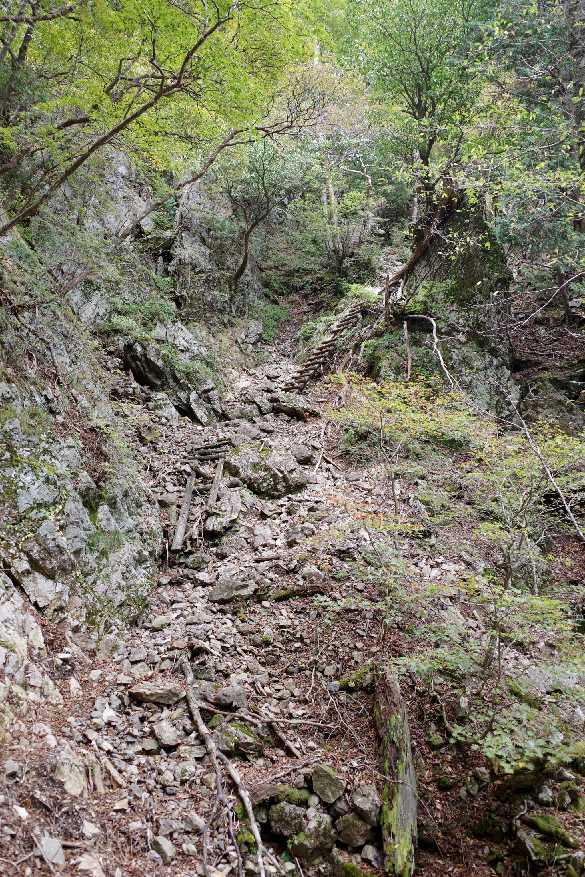
While at a distance a ridgeline appears to undulate gracefully, the reality up close is more like a sawtooth with near-constant ups and downs. When the going gets tough, the tough have installed chains and ladders to help traverse the worst of it.
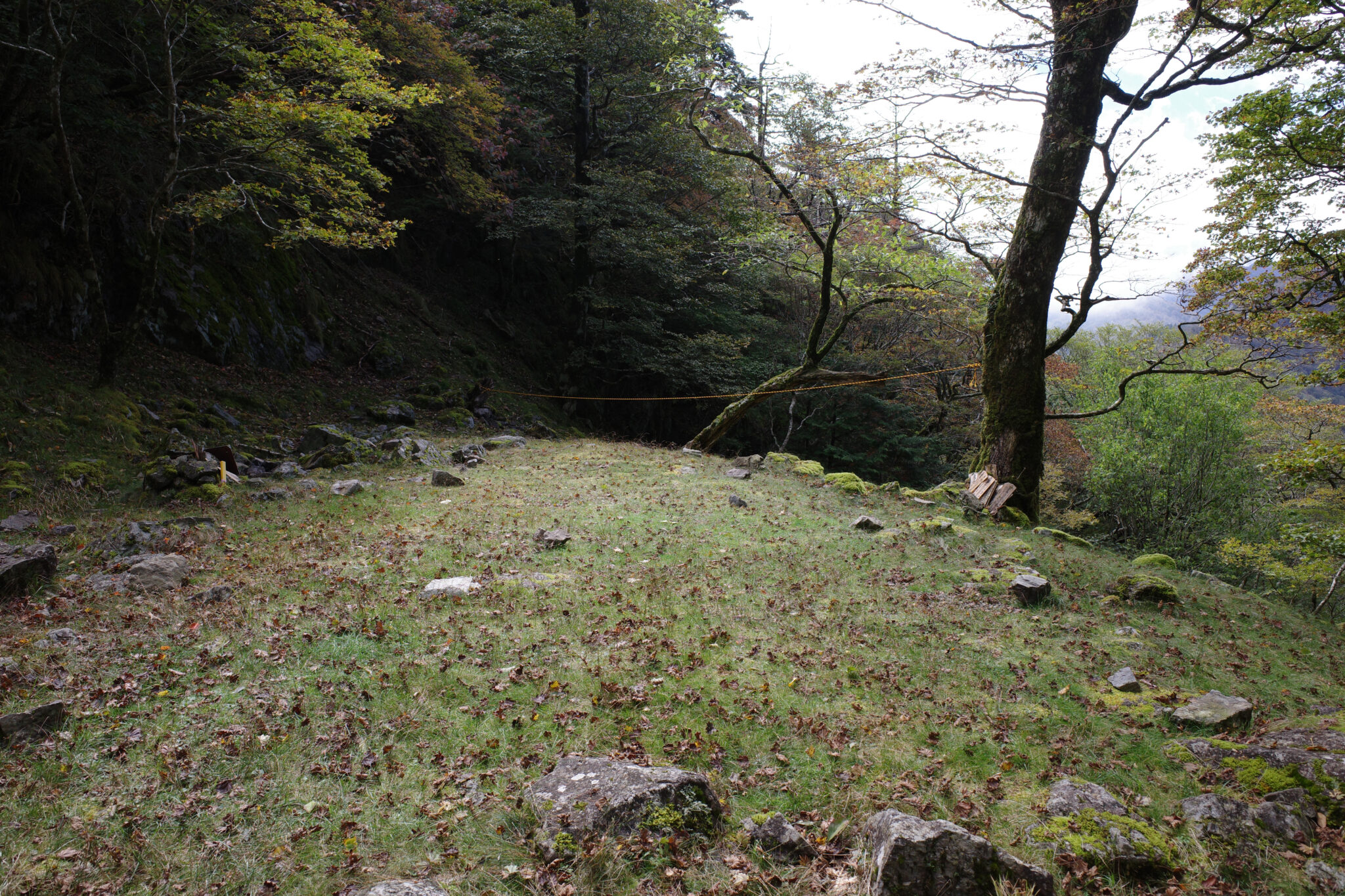
Below Mt. Kunimi (国見岳) I came across a shaded grotto festooned with moss-covered rocks. Next to it was a piece of flat ground that would make a great campsite (Chigodomari 稚子泊).
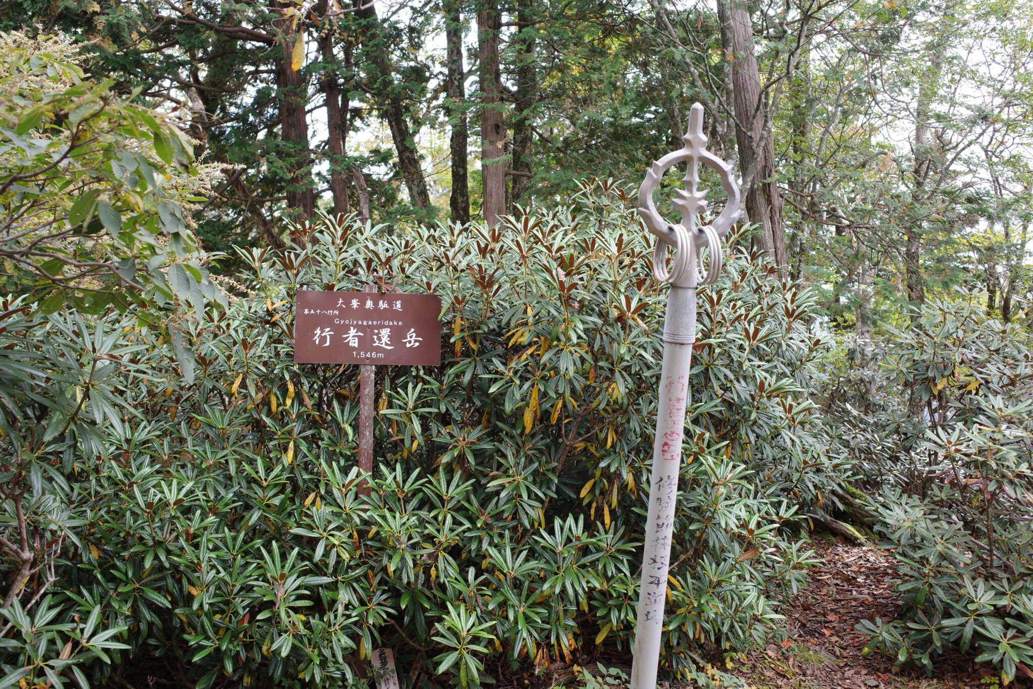
I decided to take a detour to the top of Mt. Gyojagaeridake (行者還岳) which turned out to be a disappointment since the top was covered in trees and devoid of views.
Along the route, you’ll notice many pewter staffs topped with metal rings stuck in the ground at auspicious places, mostly at the top of peaks. Known as shakujō in Japanese, they were traditionally carried by Buddhist monks to frighten away animals. They were later adapted for use as a rhythmic instrument during chanting and sutra recitation, as well as a weapon. I gave them a good shake as I passed.
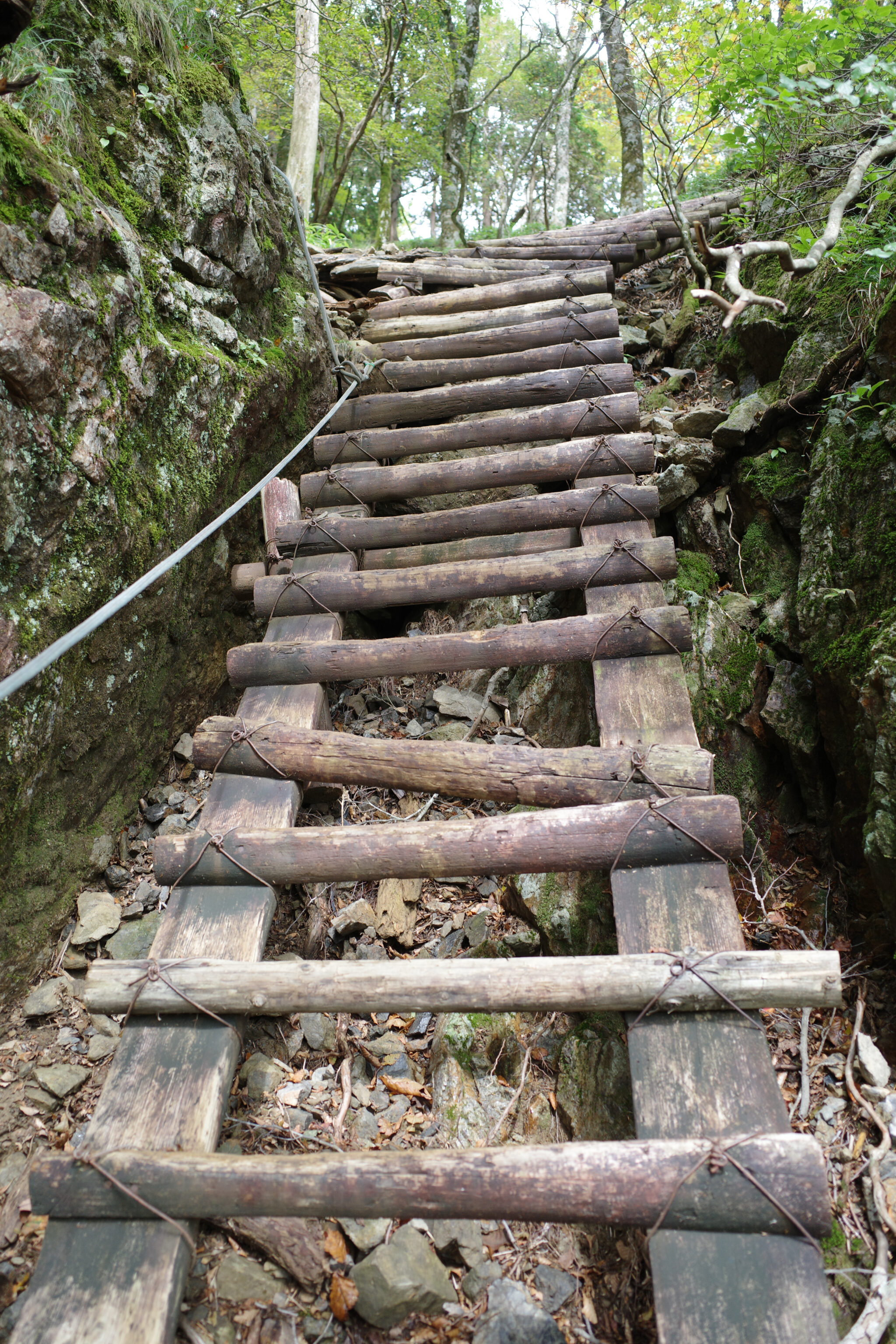
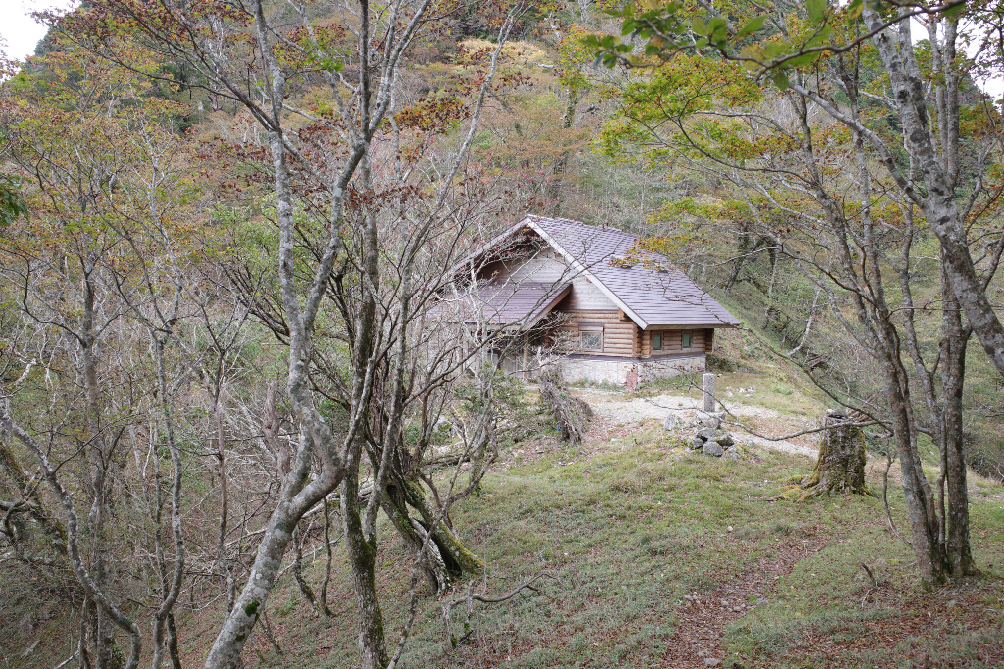
It was a steep scramble down a series of rotten ladders to Gyoja Gairi no Shuku (行者還避難小屋) where I paused to eat lunch. The hut was closed but it looked really nice from the outside.
By now it was almost 2 pm and I realised that I’d have to get a move on if I was to make it to Mt. Misen by nightfall. Added to that there were dark clouds on the horizon and I was already halfway through my water supply.

In my haste, I almost stepped on a sizable snake which hastily slithered away. A pewter staff could have come in handy!
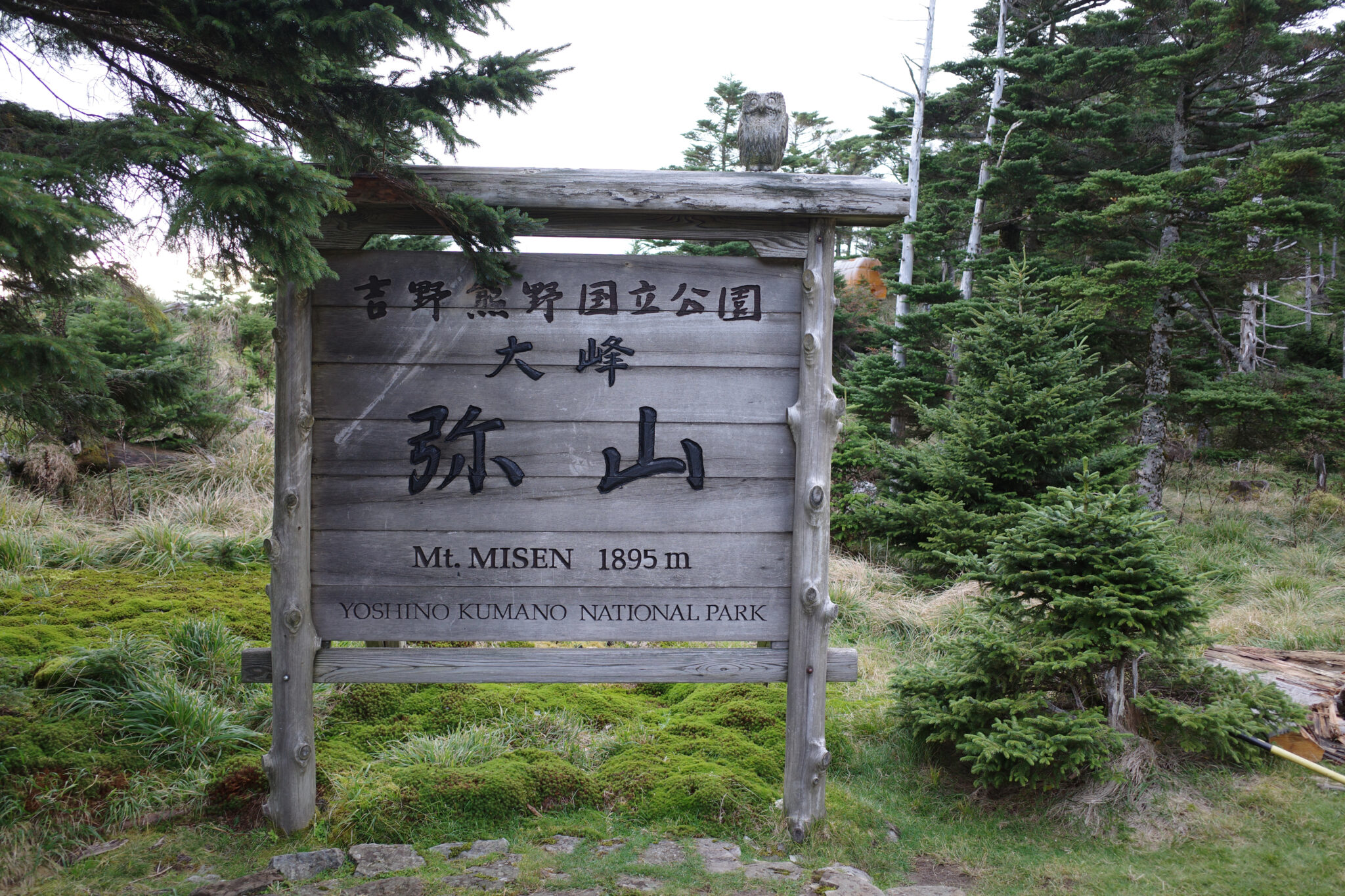
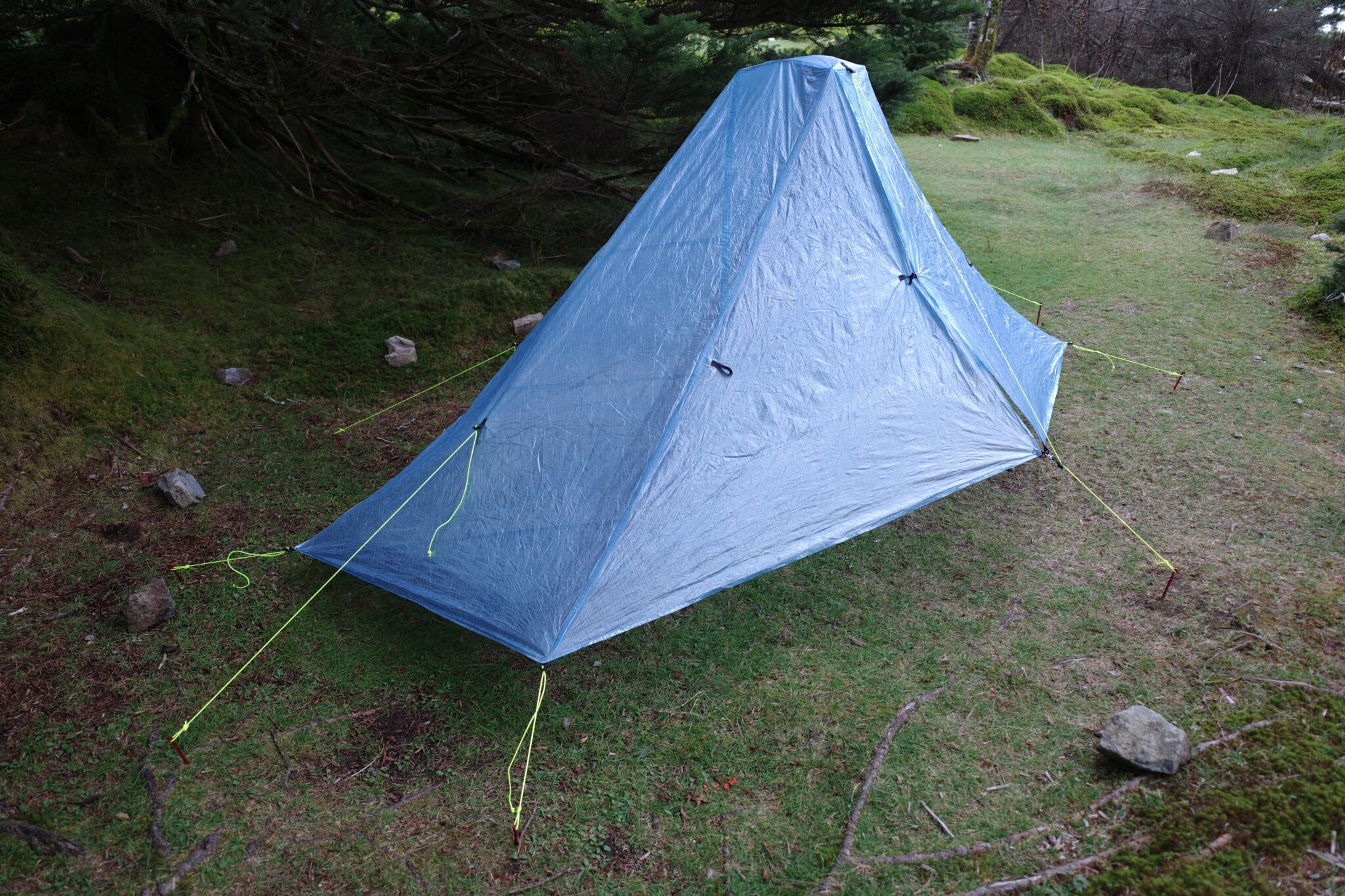
After a long day of hiking, the last 350 m ascent to Misen hut (弥山小屋) at 1,895 m was a killer and I limped my way into camp at 4.40 pm. The hut is the largest on the whole route and the only one to be staffed. To my relief, they were more than happy to fill my water bottles for 100 yen per litre and I quickly set up camp as the sun began to dip beneath the clouds.
I cooked gyudon (rice topped with beef and onion) from a packet for dinner and promptly made a resolution never to eat rehydrated rice ever again. There were a few other campers nearby and I was jealous of the smells wafting over from their grills.
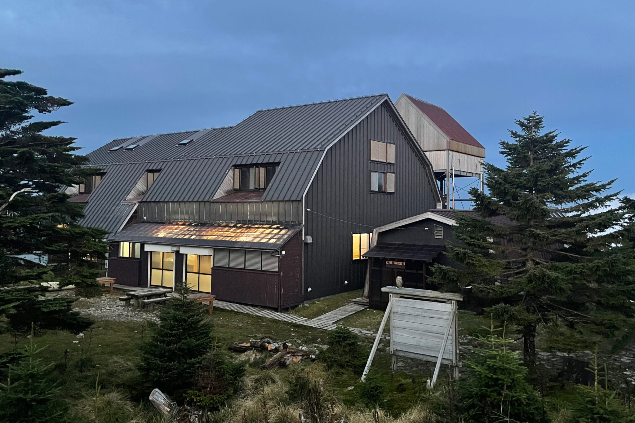
After dinner, I got myself cleaned up then sat in the lighted area on the side of the hut reserved for campers to check the map and write my diary.
Around 10 pm, I was dozing in my sleeping bag when someone in another tent started talking in their sleep. Someone shouted for them to shut up but no sooner had he quietened down, than a late group of hikers turned up, all noisily clanging their bear bells and swinging torches around!

Reply