I kicked off the second day with a tasty packet of maple and brown sugar oatmeal which was to become my staple breakfast throughout the week. I washed it down with Earl Grey tea mixed with a dash of condensed milk.
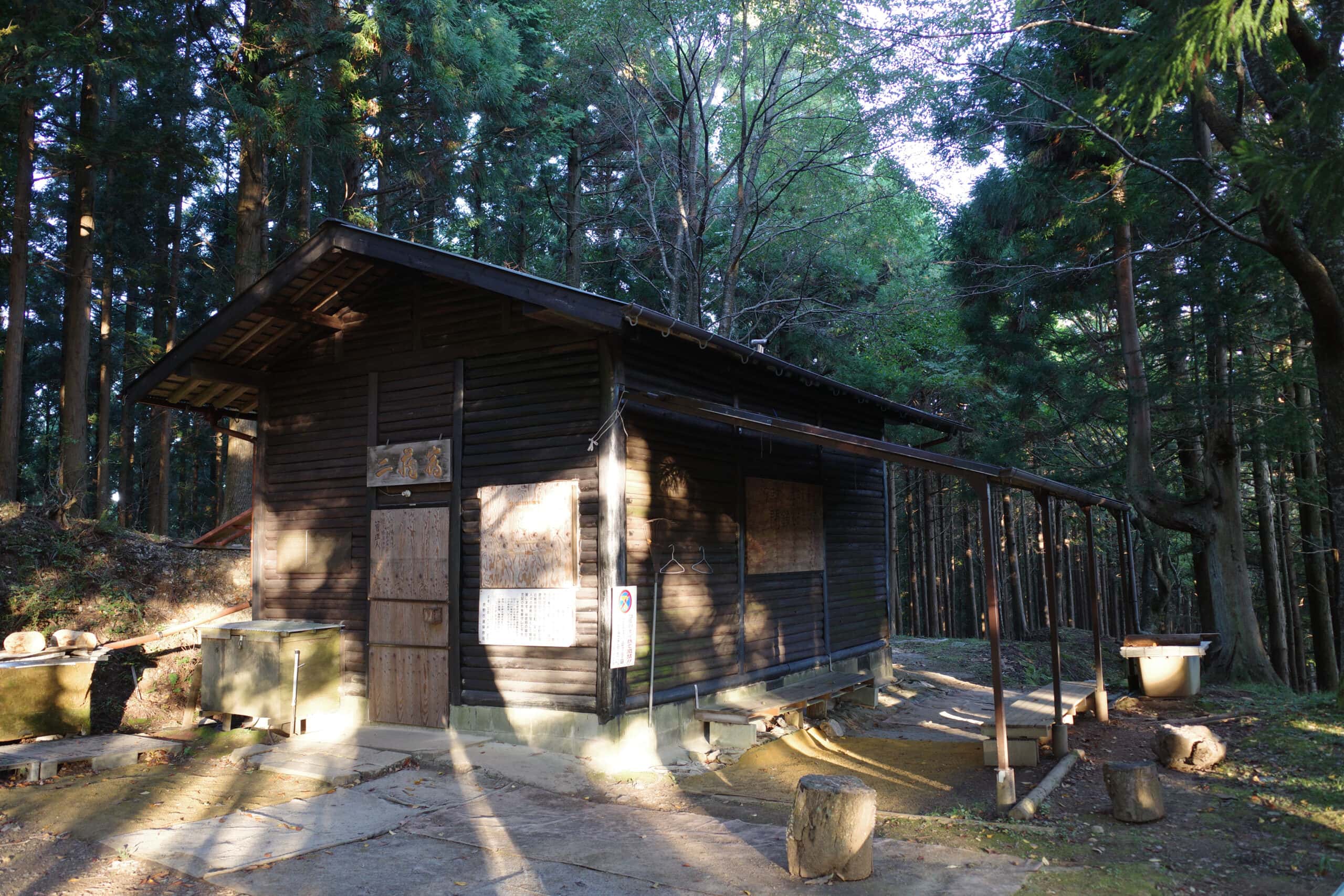
After packing, I decided to try and find water nearby. There are three paths that lead on from Nizou Hut; both the left and right paths have signs indicating there is water ~10 mins away. Try as I might, I was unable to locate a drop of the stuff and ended wasting almost an hour searching.
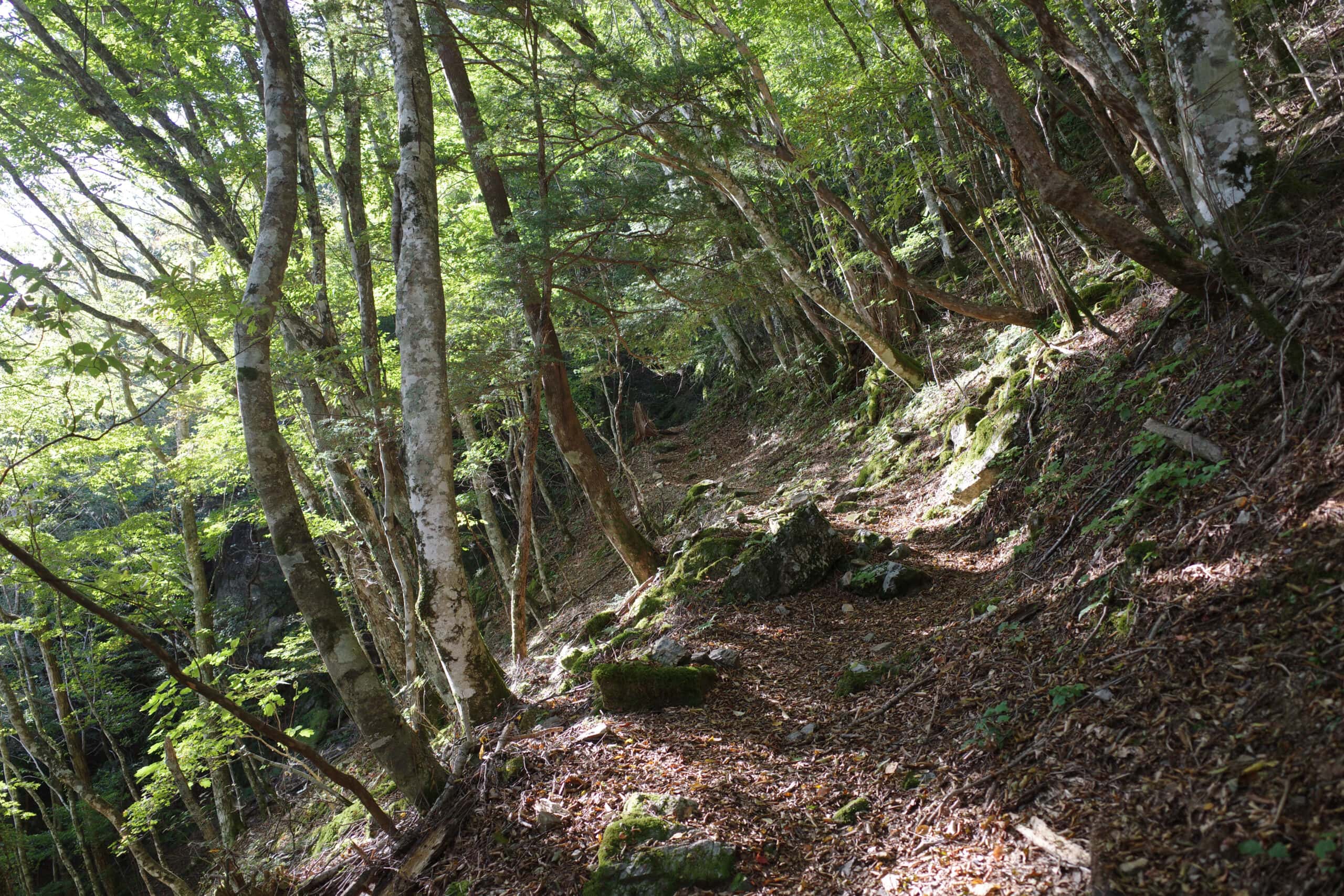
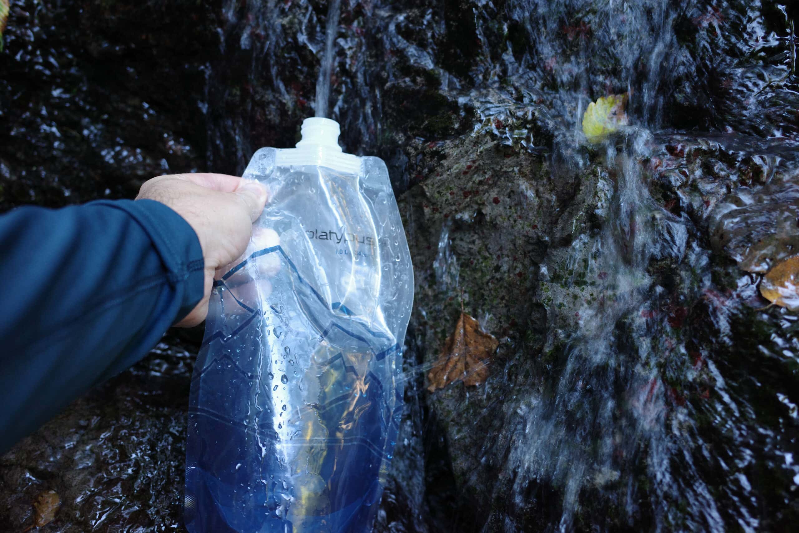
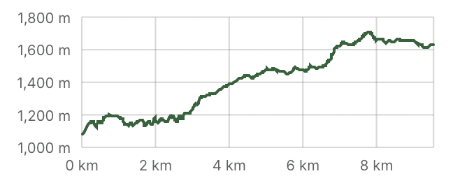
Feeling a little nervous about the water situation, I set off down the central path at 8 am and to my relief, came across a fast-flowing stream half an hour later. From this point forward I determined to trust that I’d find what I’d need along the trail.
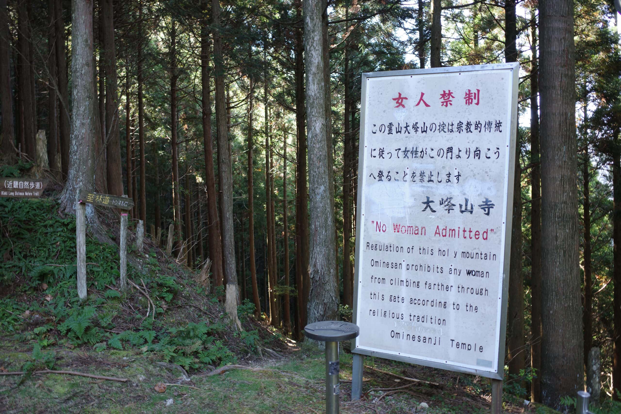
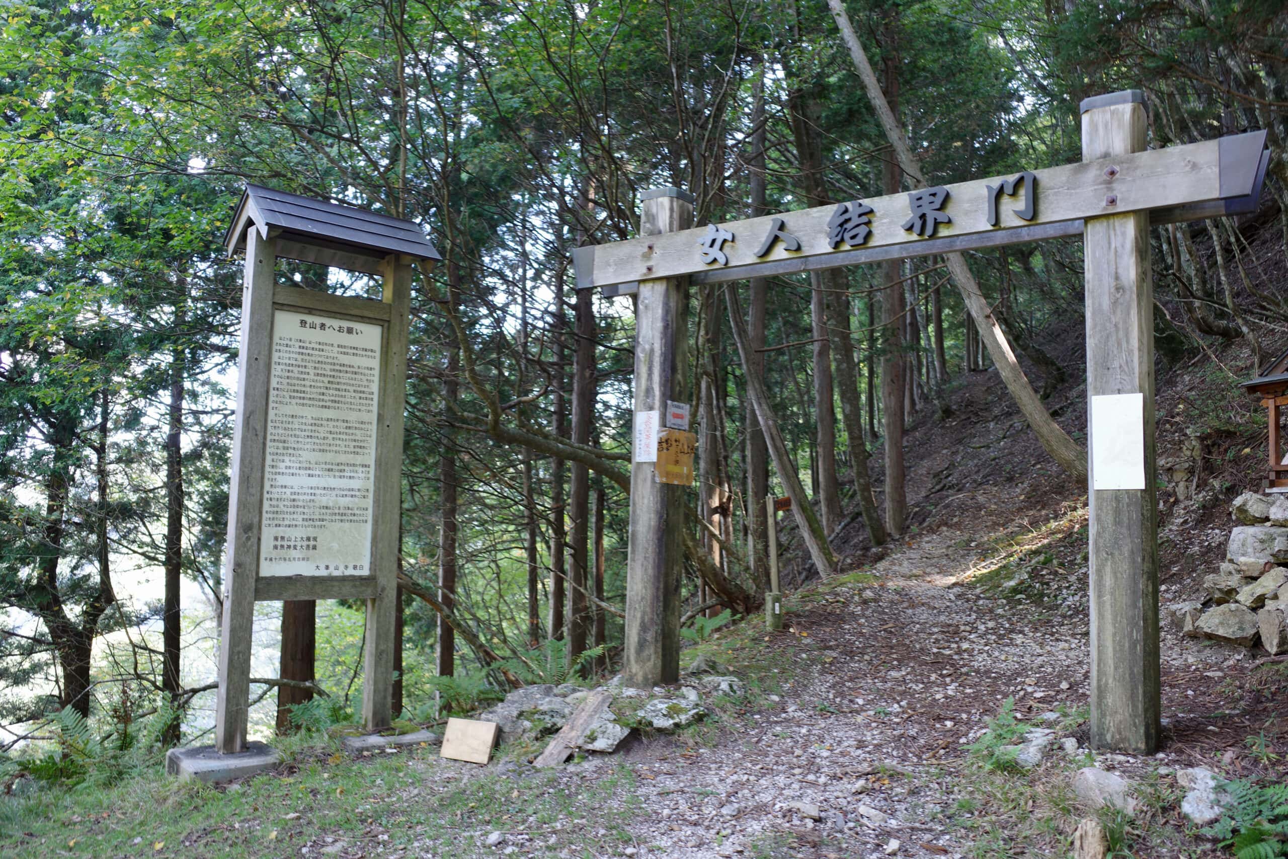
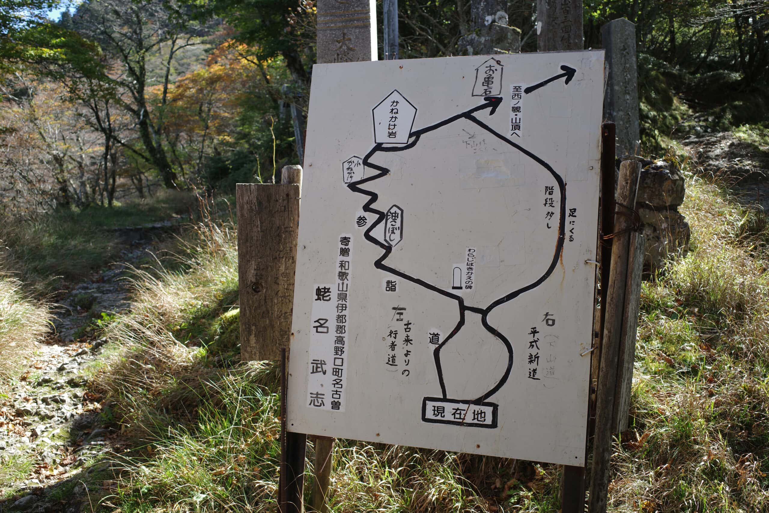
Not long after finding water, the trail converges with a number of paths at the Gobanseki Sacred Boundary (五番関登り口). As explained in the overview, women are prohibited from climbing Mount Ōmine and have to take a long detour from this point. It’s an unfortunate tradition that looks set to continue for some time.
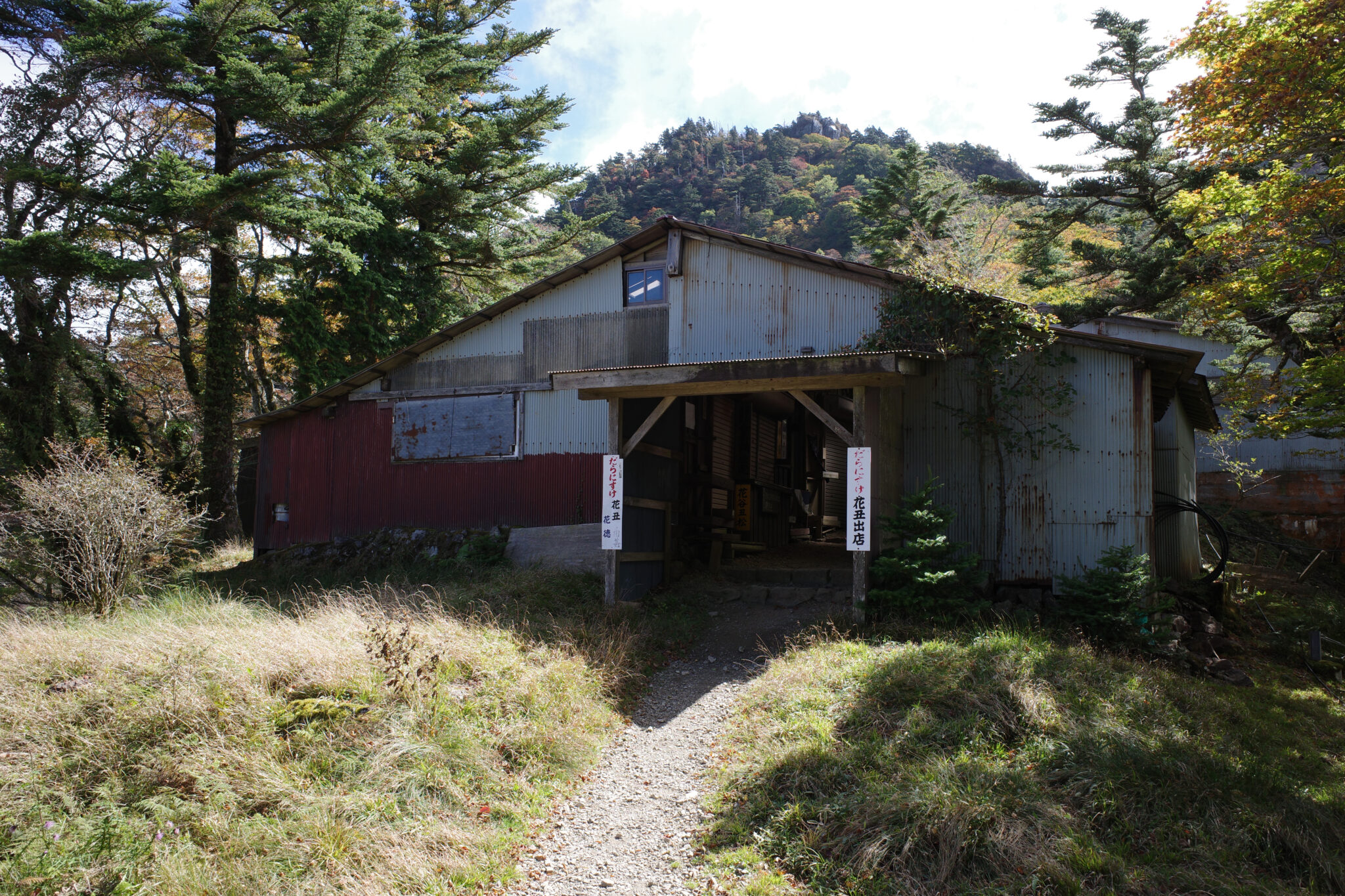
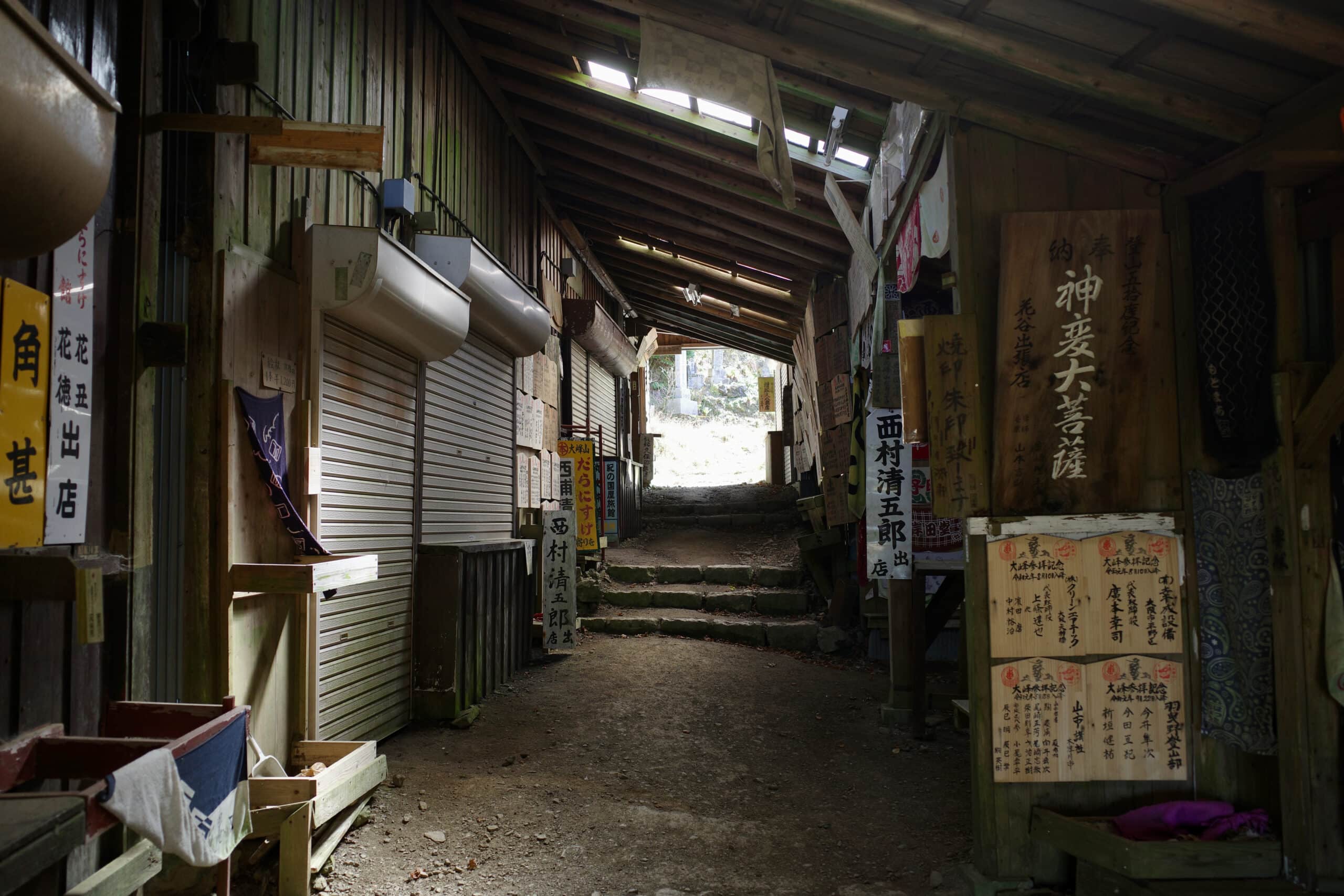
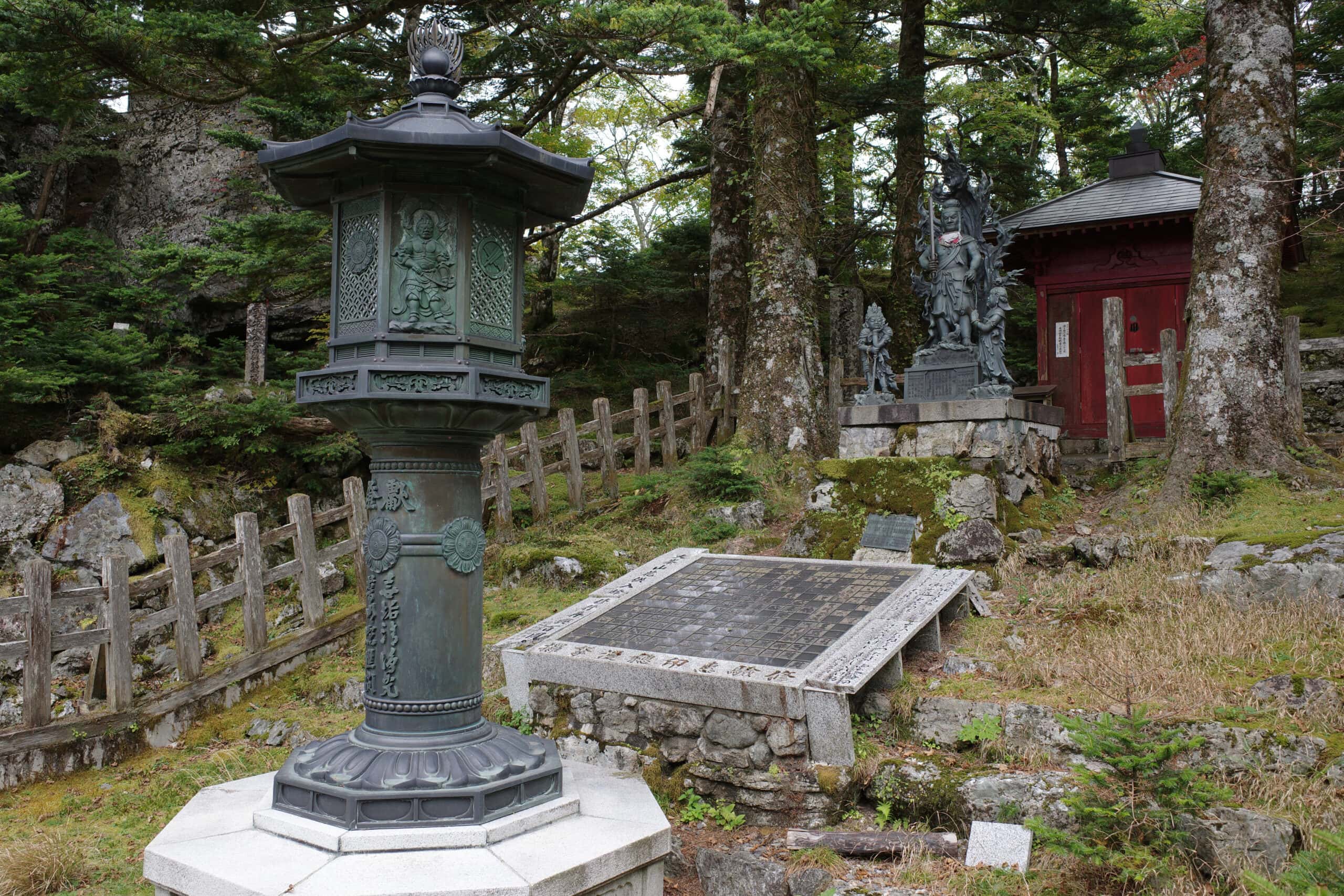
This section of the route is pretty popular with day-trippers visiting Ōminesan-ji Temple (大峯山寺). There are a couple of stations on the way up that serve food but were shut and eerily devoid of life, save for the signs which teased their unavailable menus.
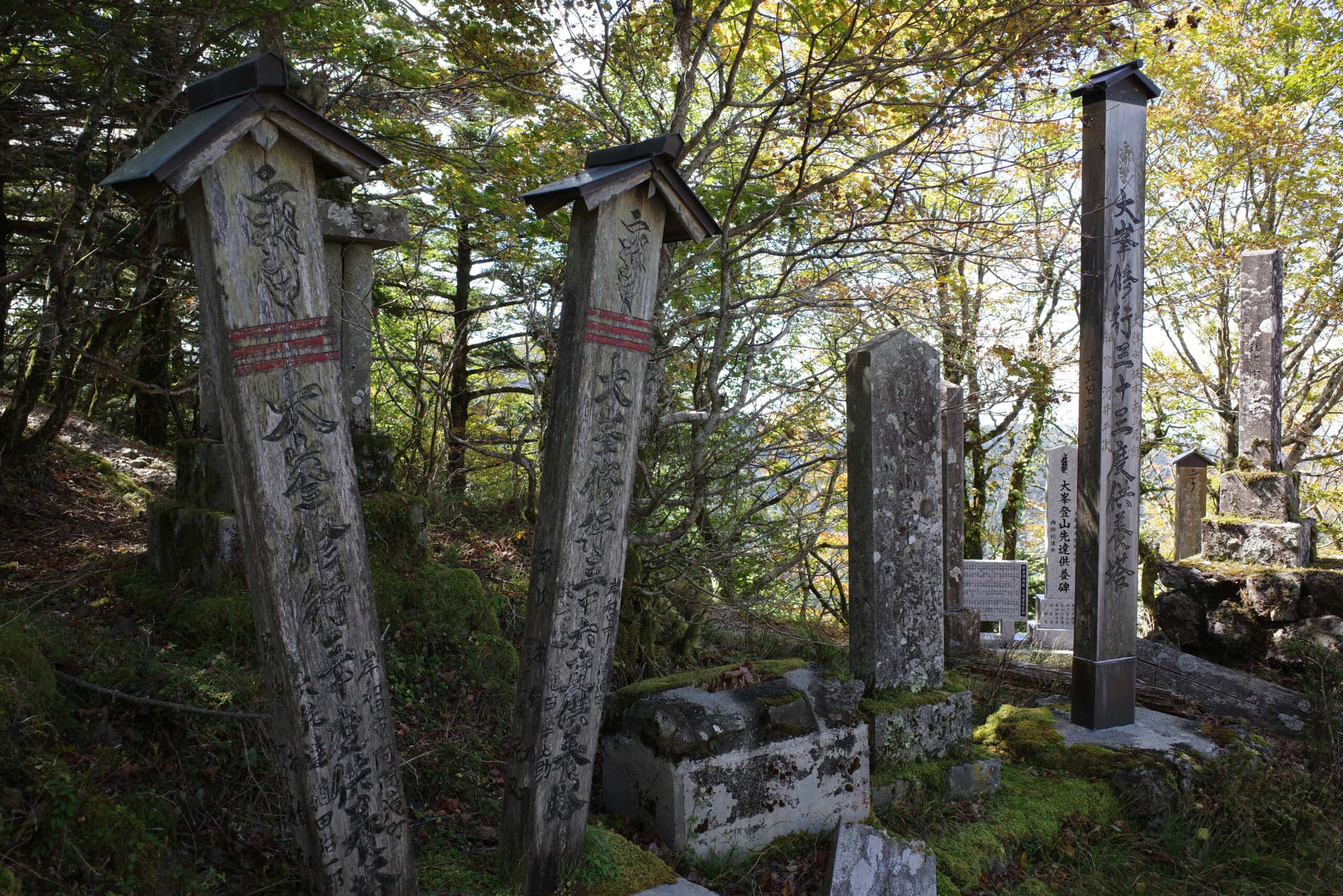
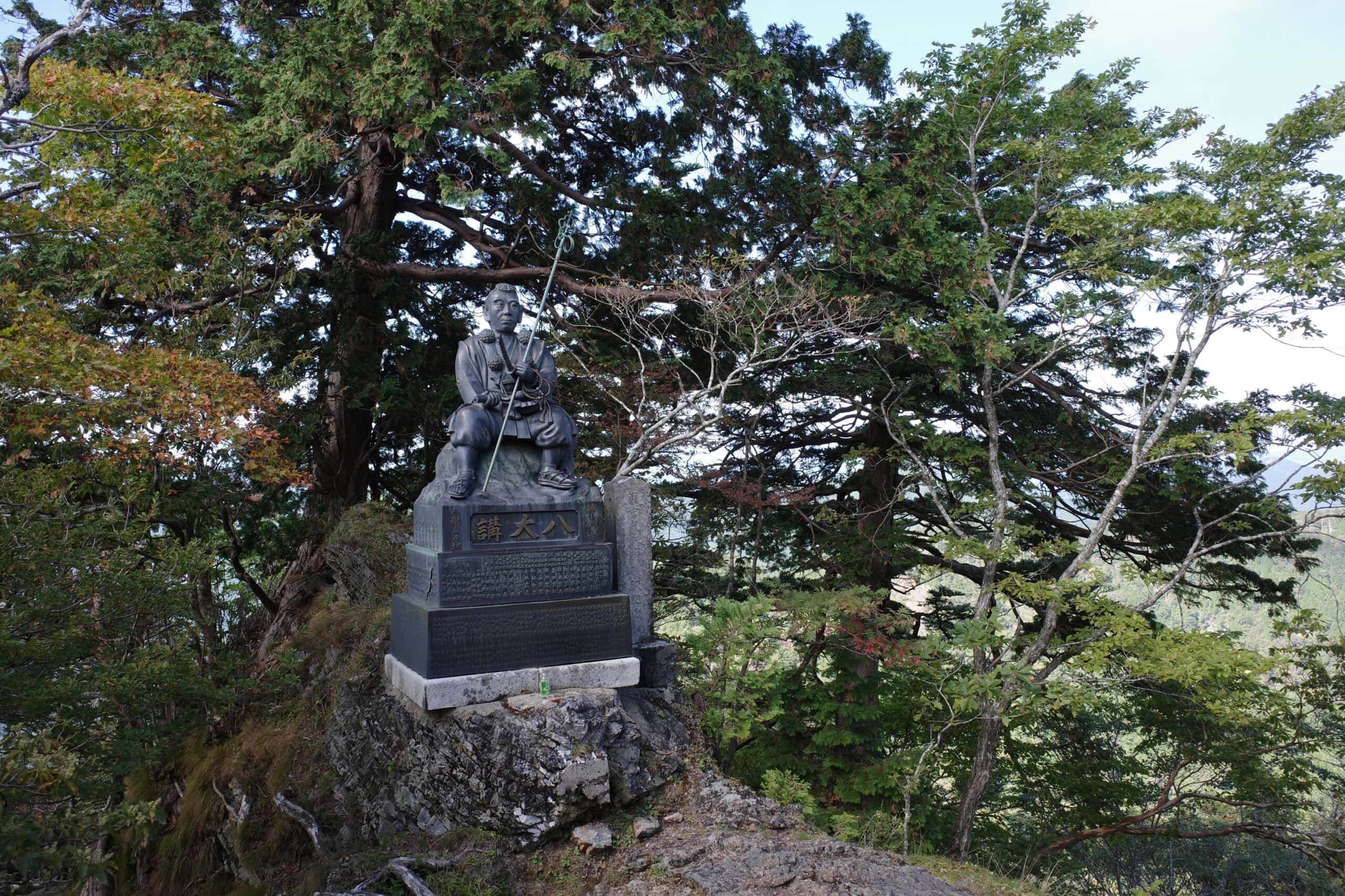
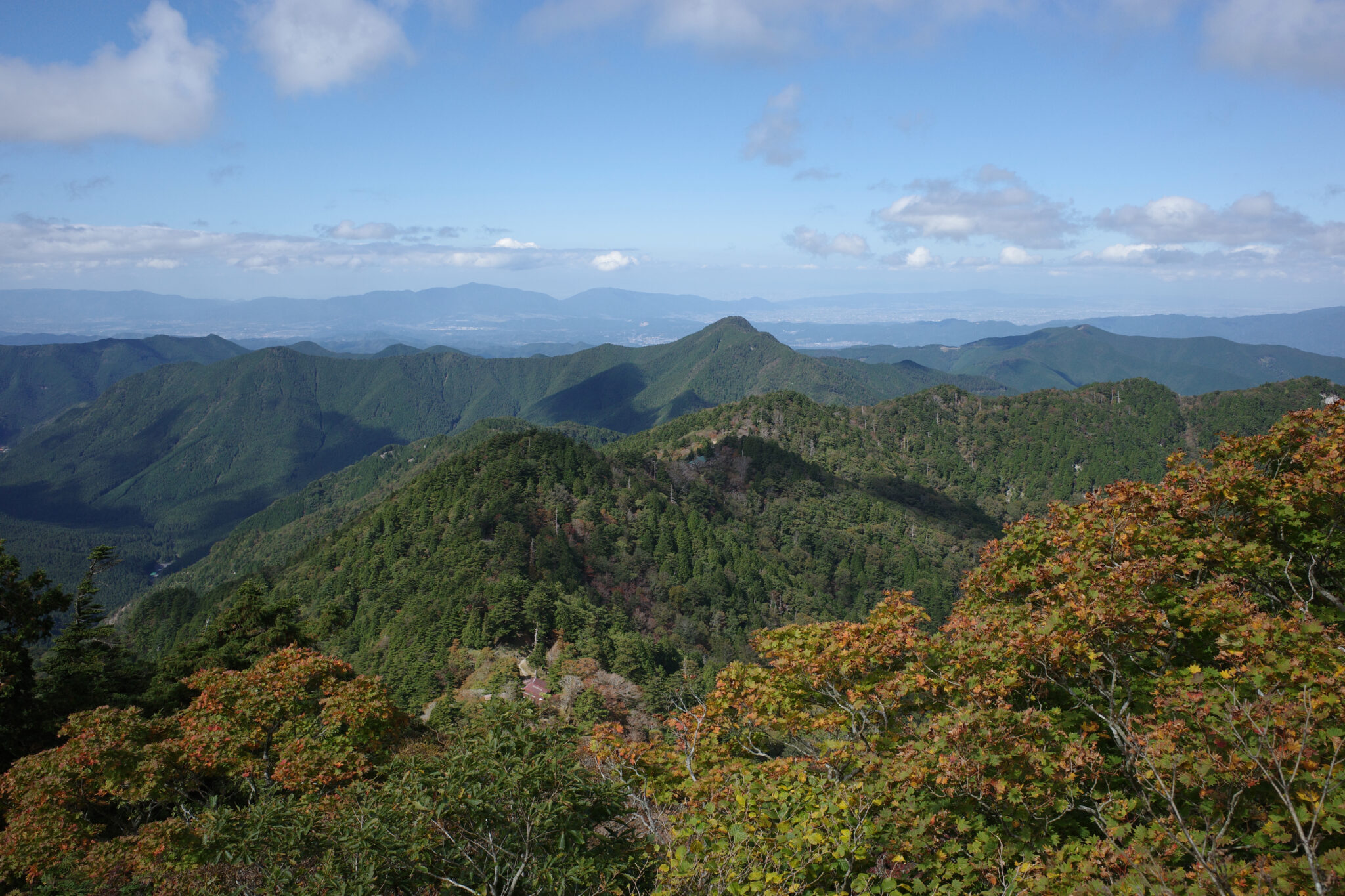
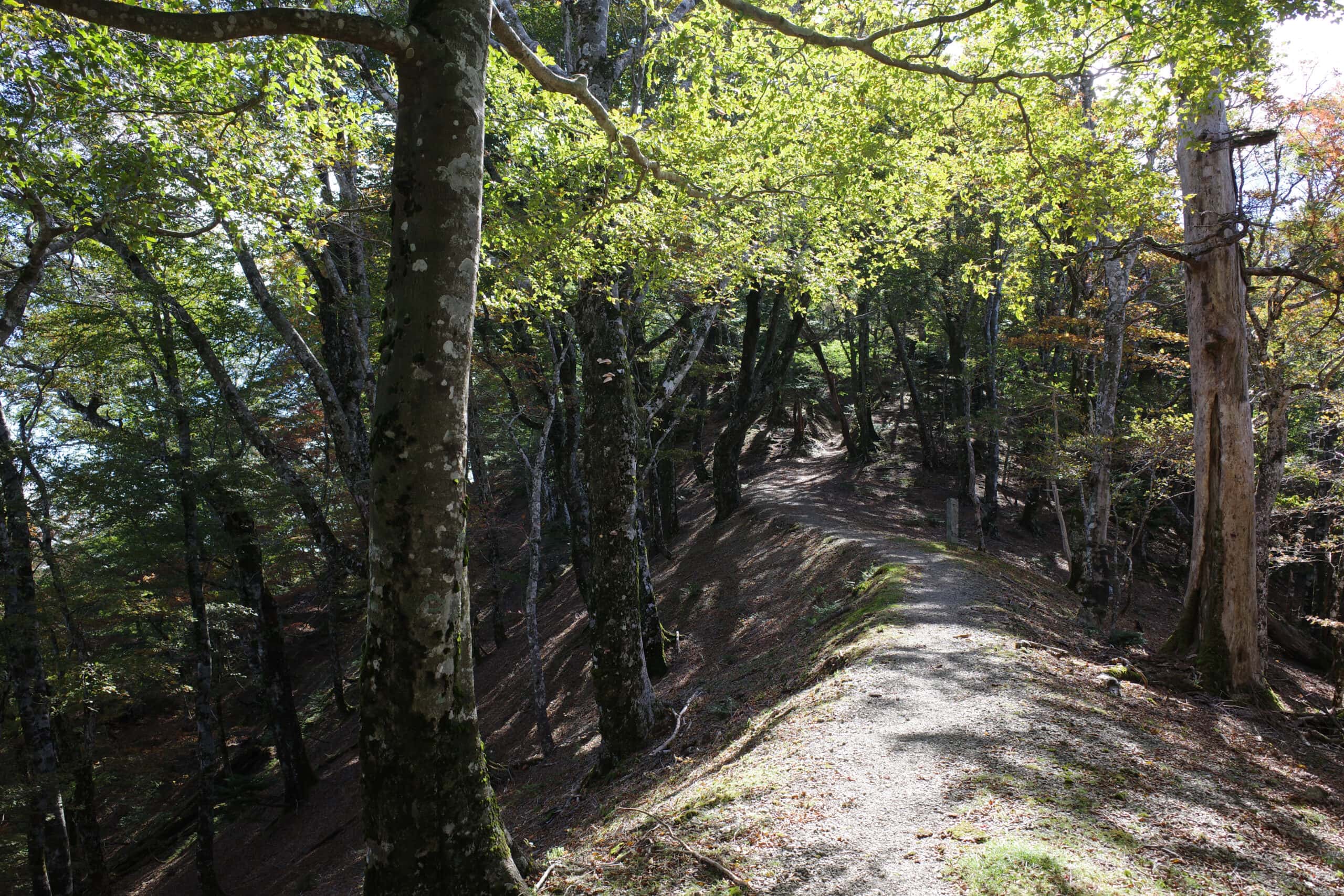
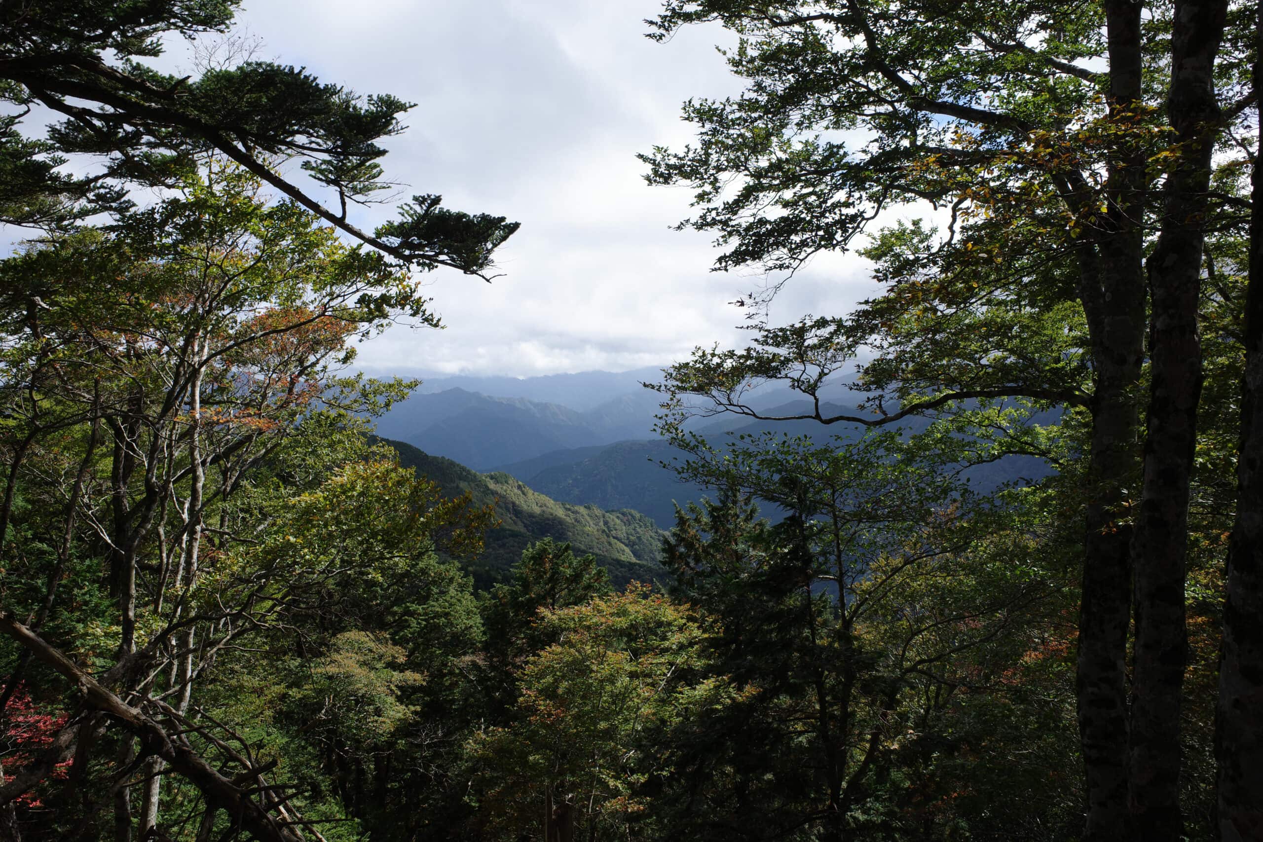
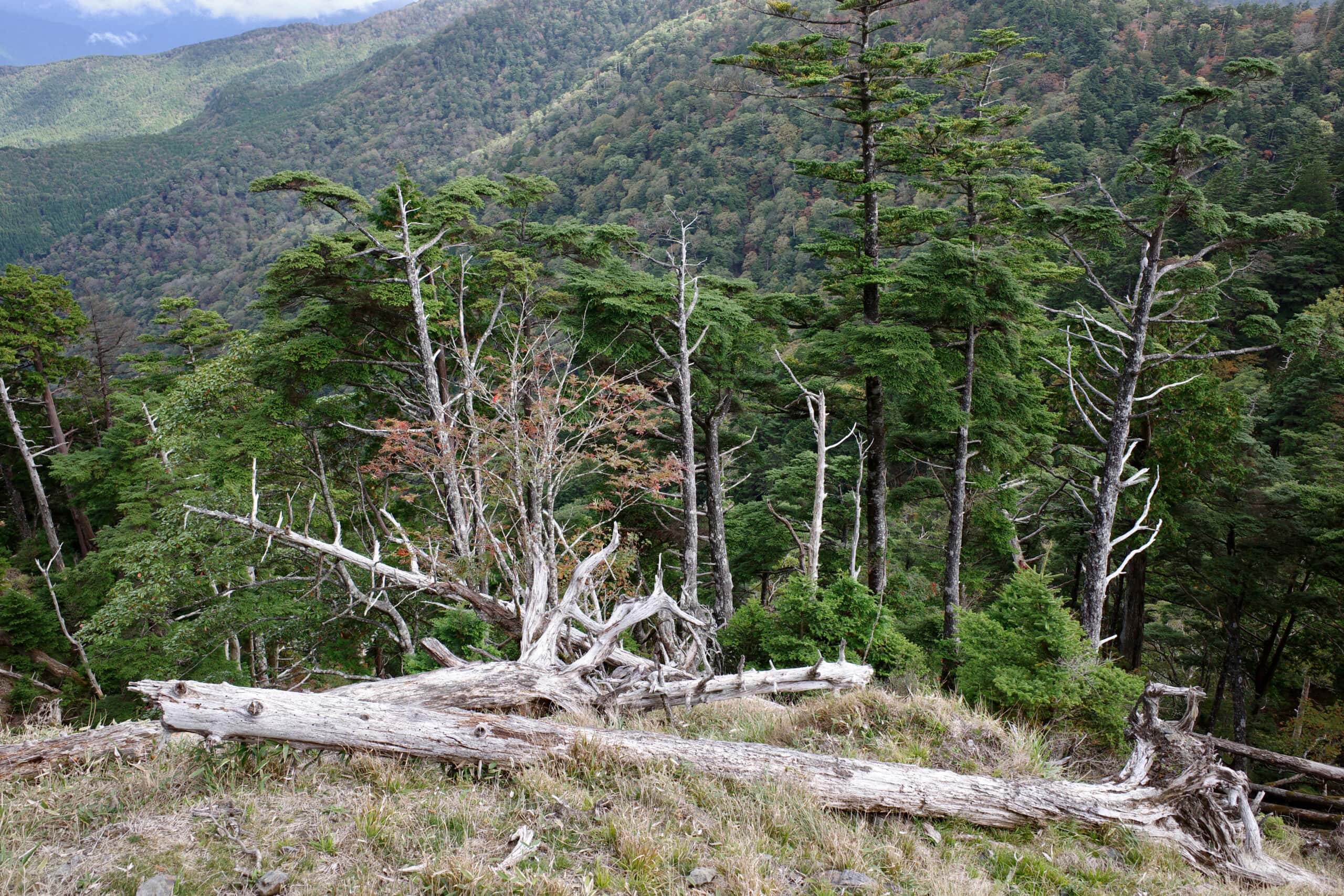
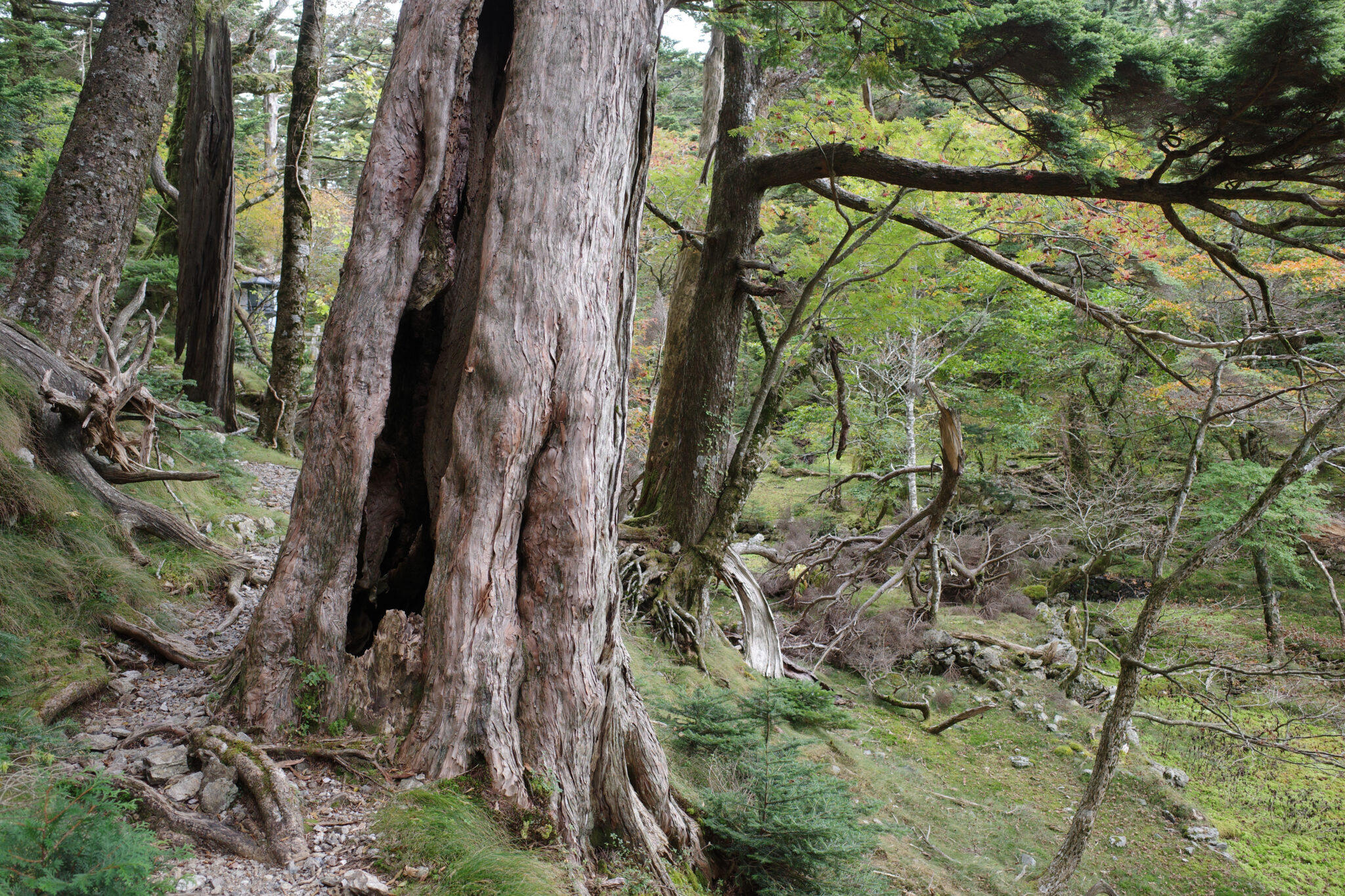
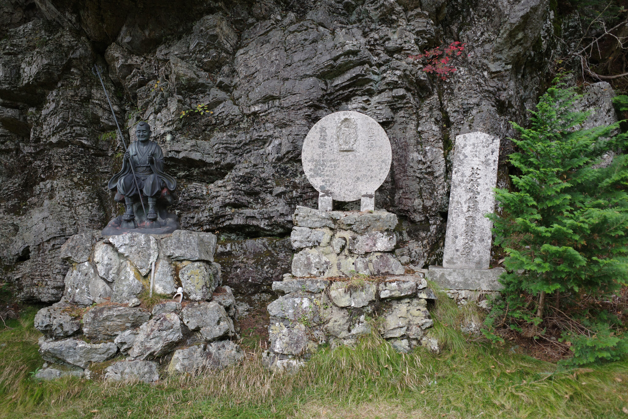
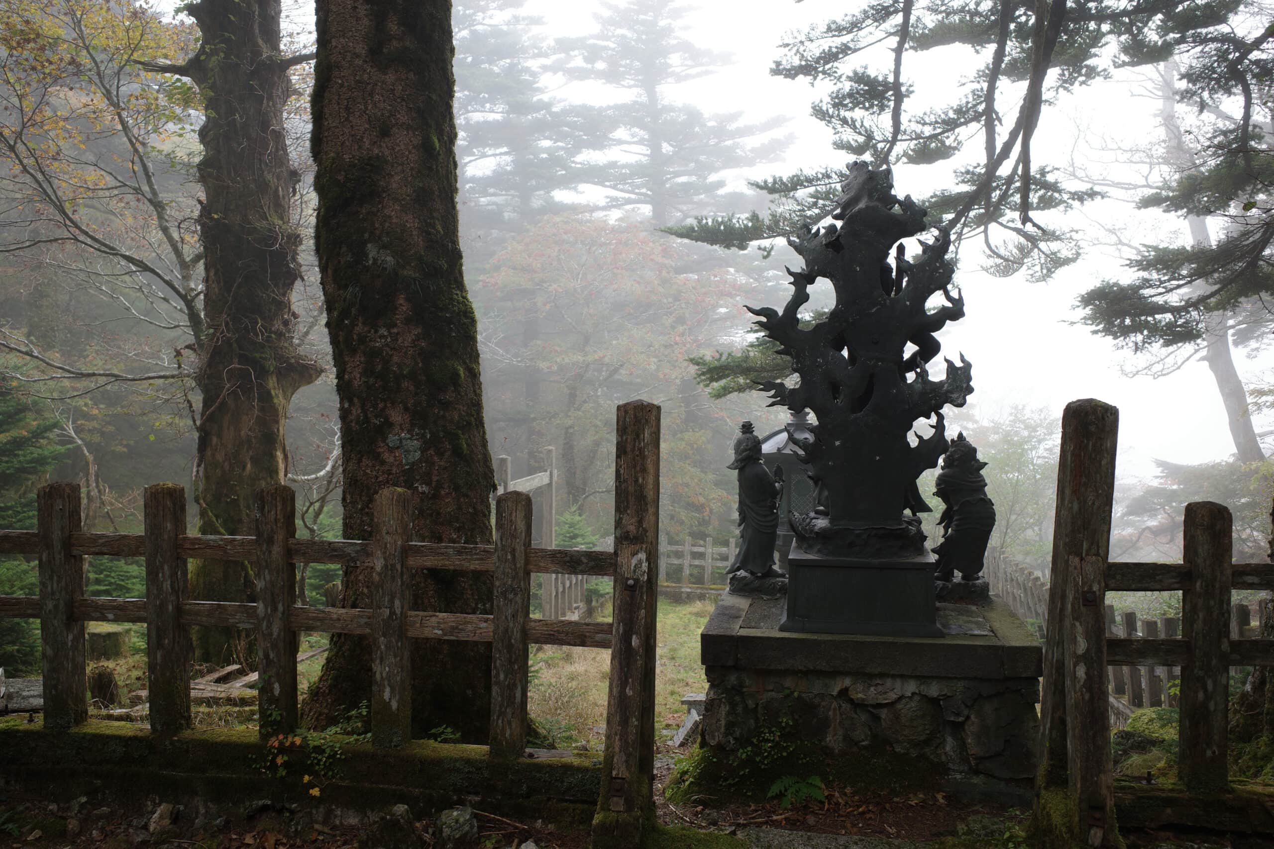
From here the path steepens passing memorials and statues of noble pilgrims from the past. With the additional elevation, the view starts to open out, the rolling green mountains dominating the skyline.
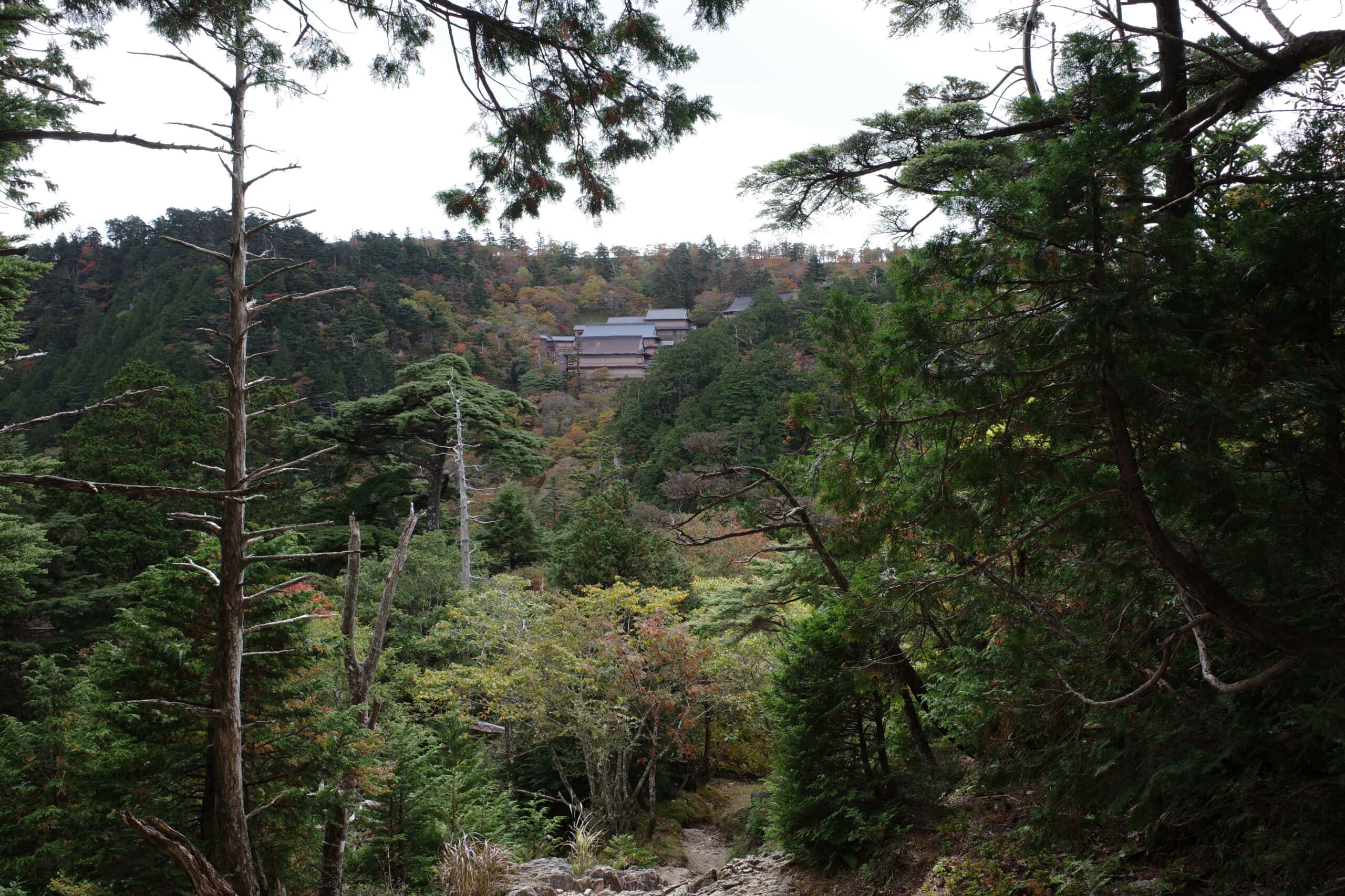
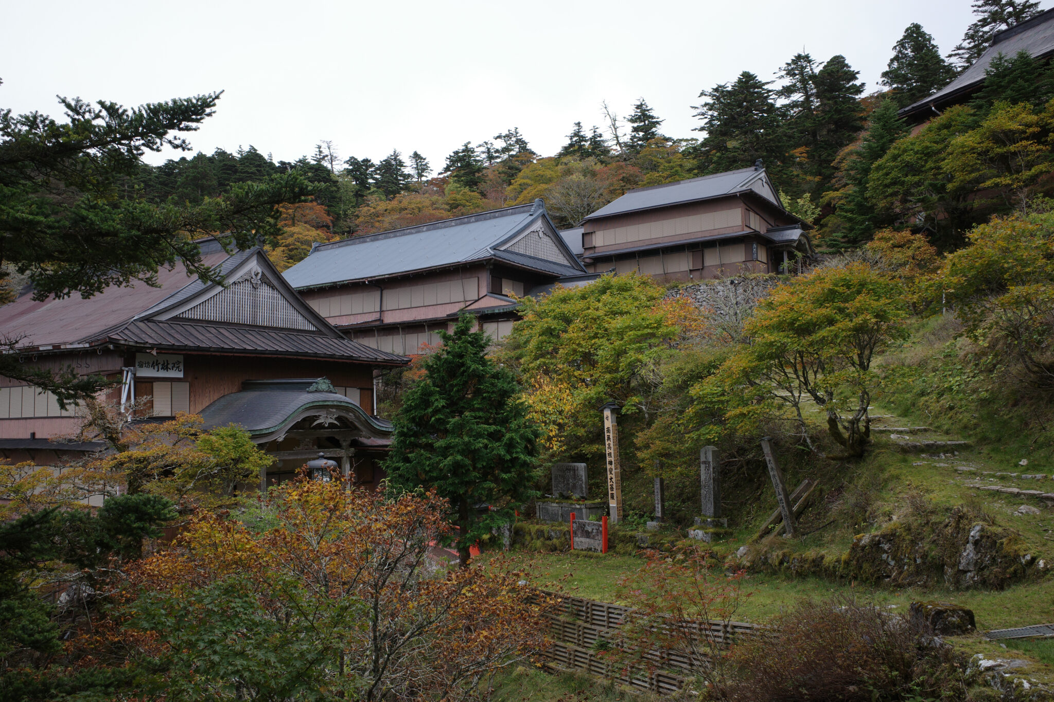
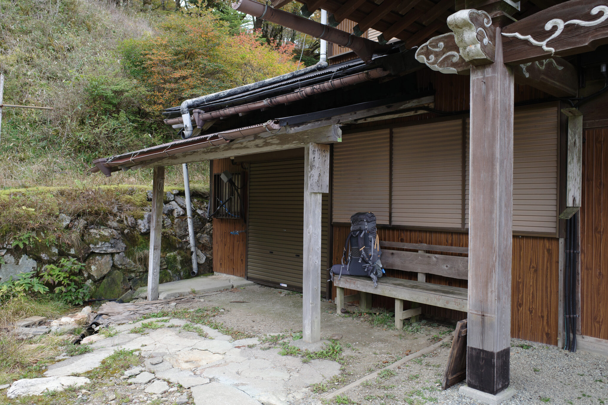
By noon I arrived at the complex of shukubo (宿坊) temple lodgings which sit a short distance below the peak. They were all closed but capable of housing hundreds of pilgrims during the high season. I paused under the eves of one of the buildings to eat lunch while waiting for a light shower to pass.
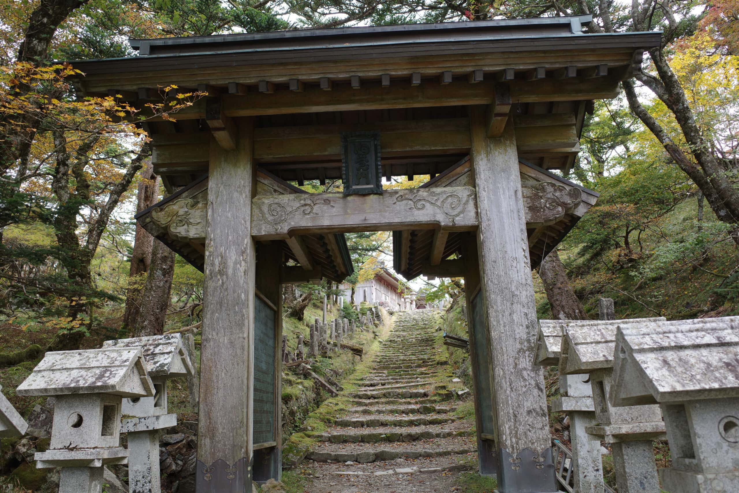
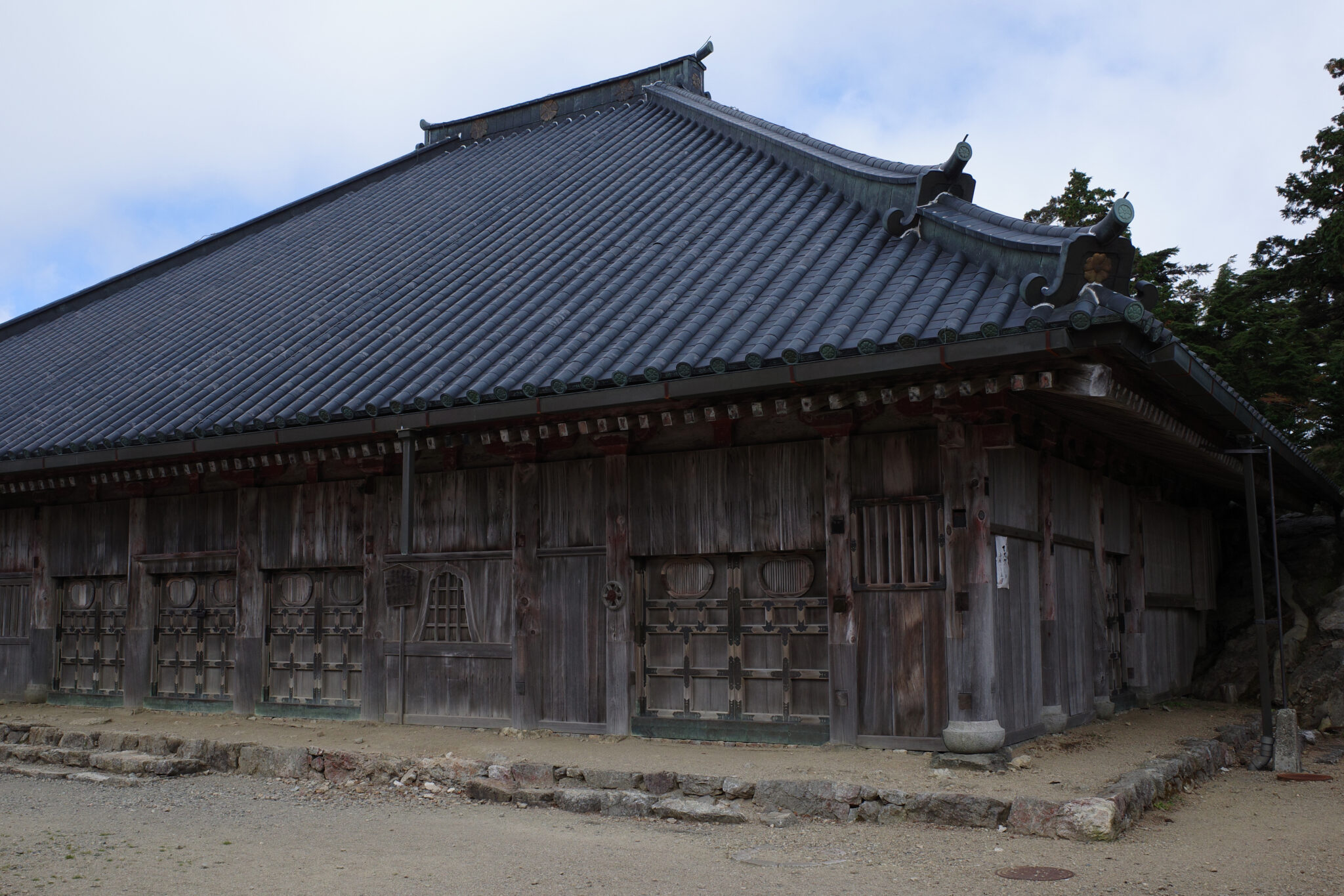
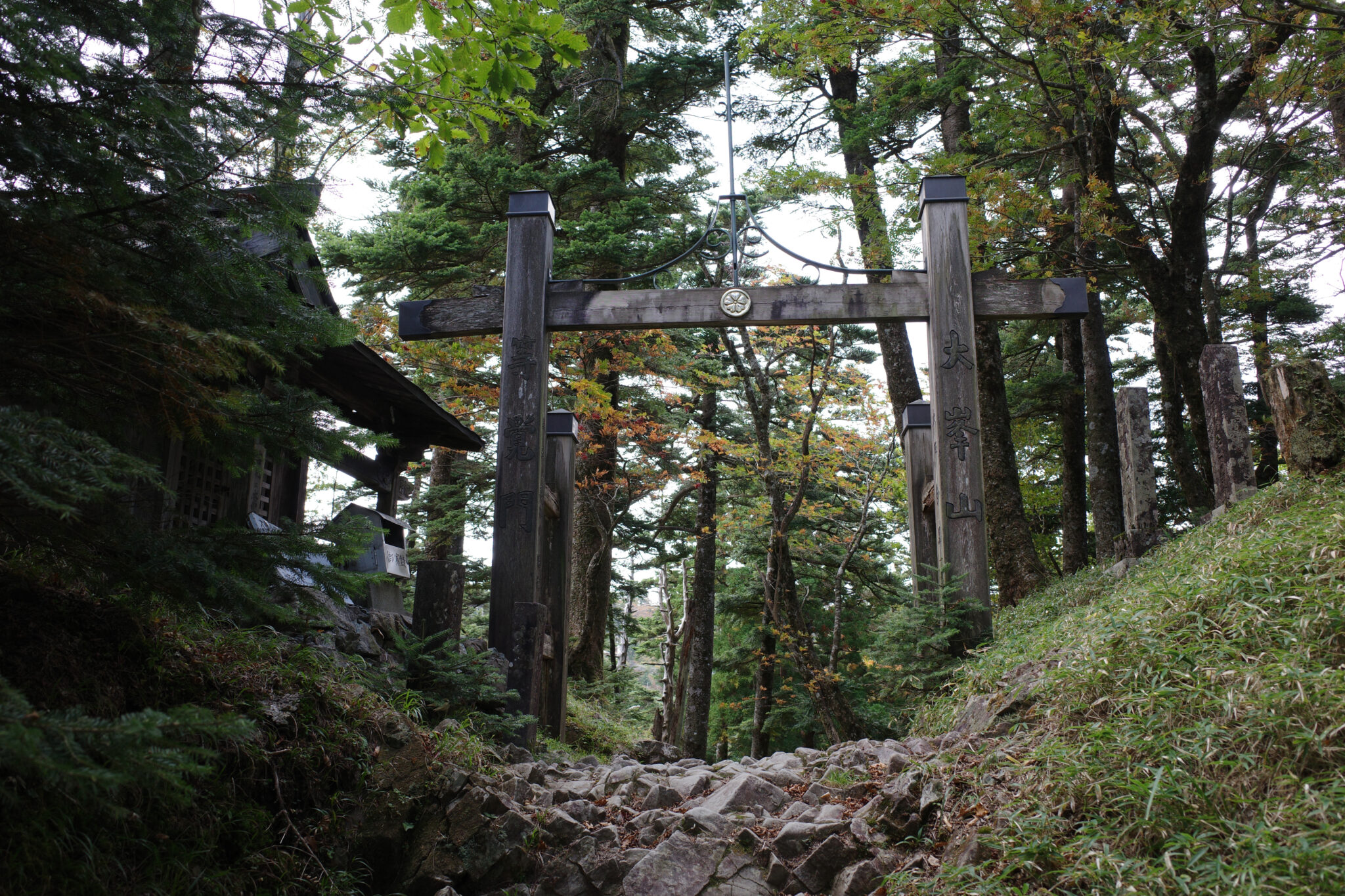
It’s a short walk from here to the main gate of Ōminesan-ji through which the wooden main hall looms large. The mood at the peak was sombre, with a few people milling around and I didn’t linger long.
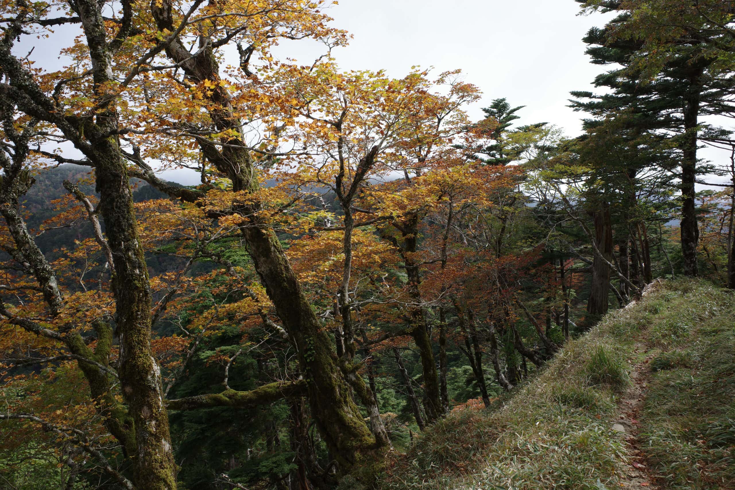
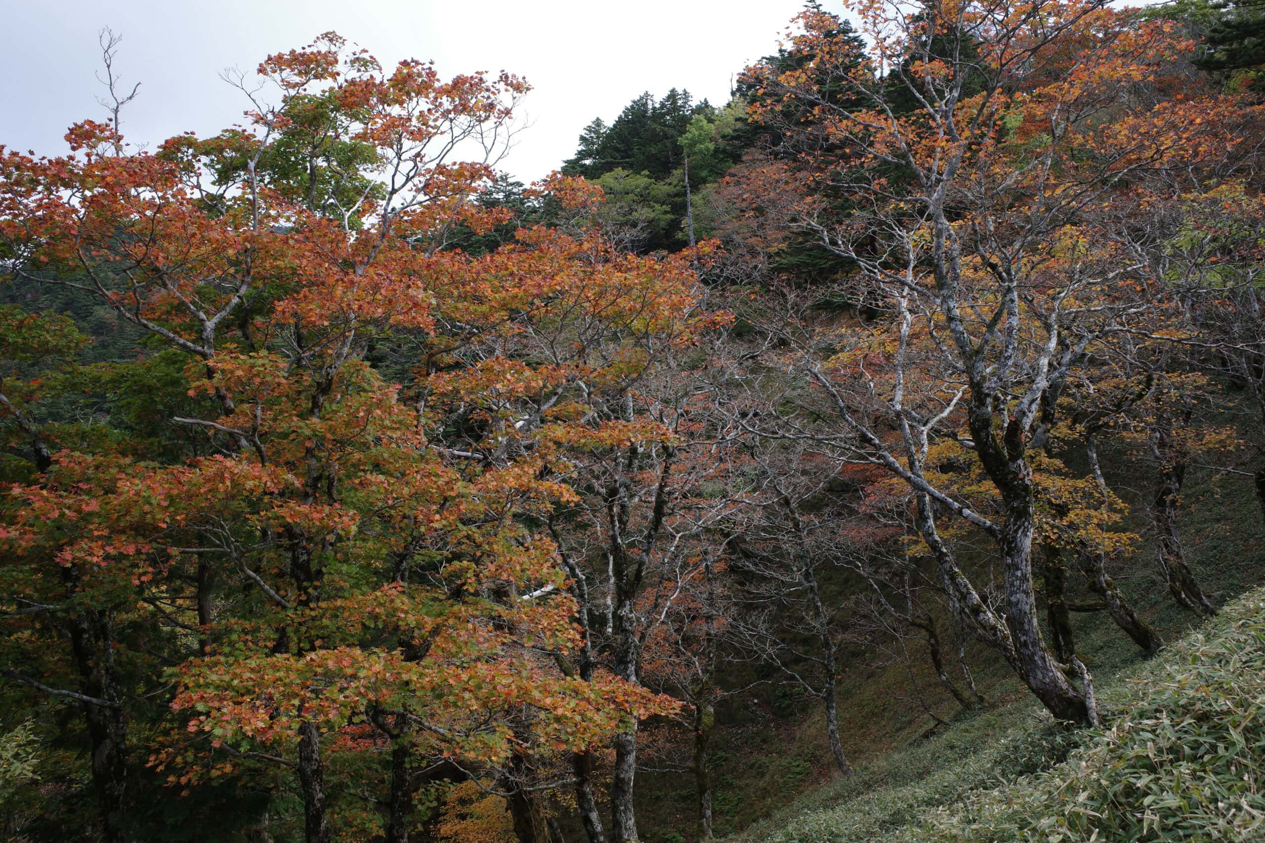
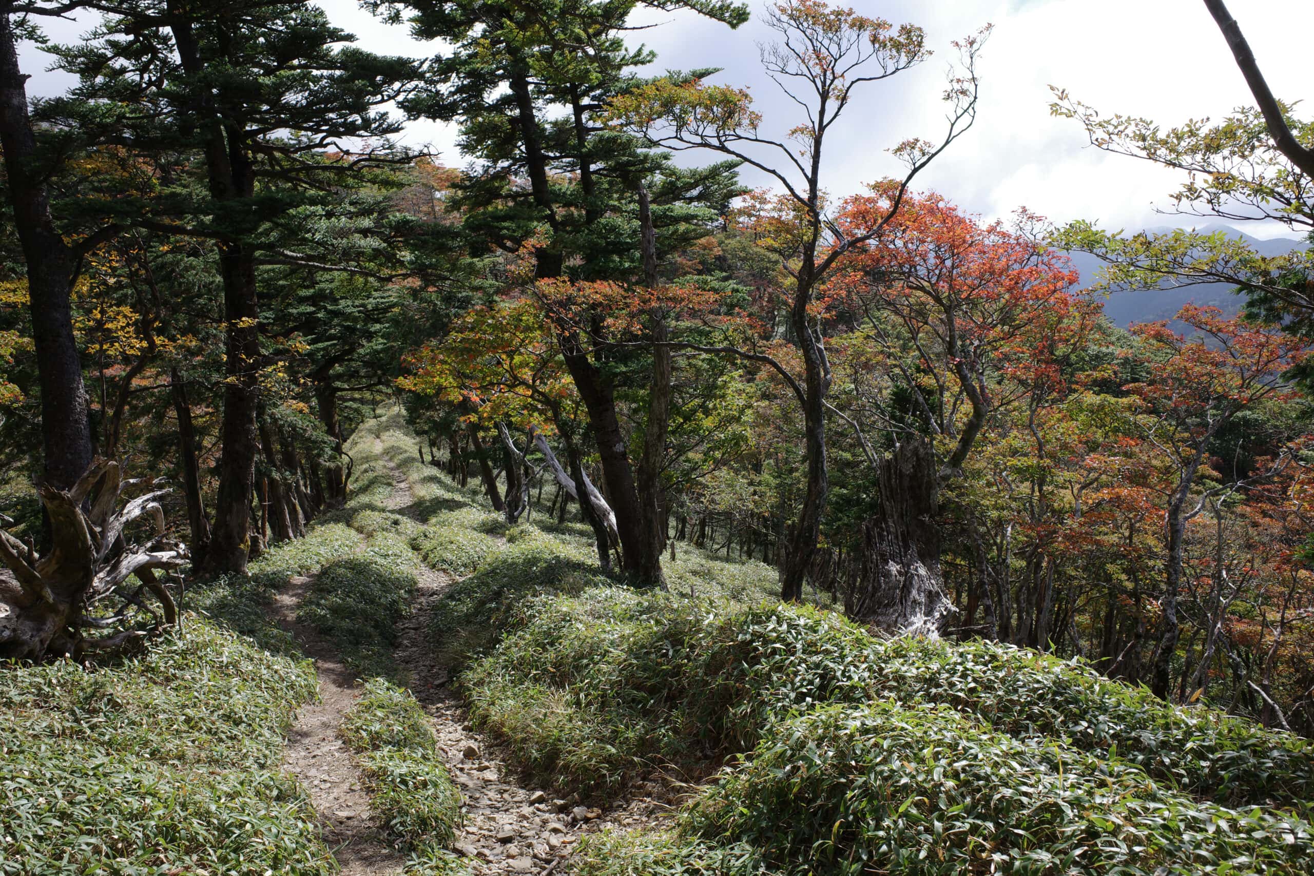
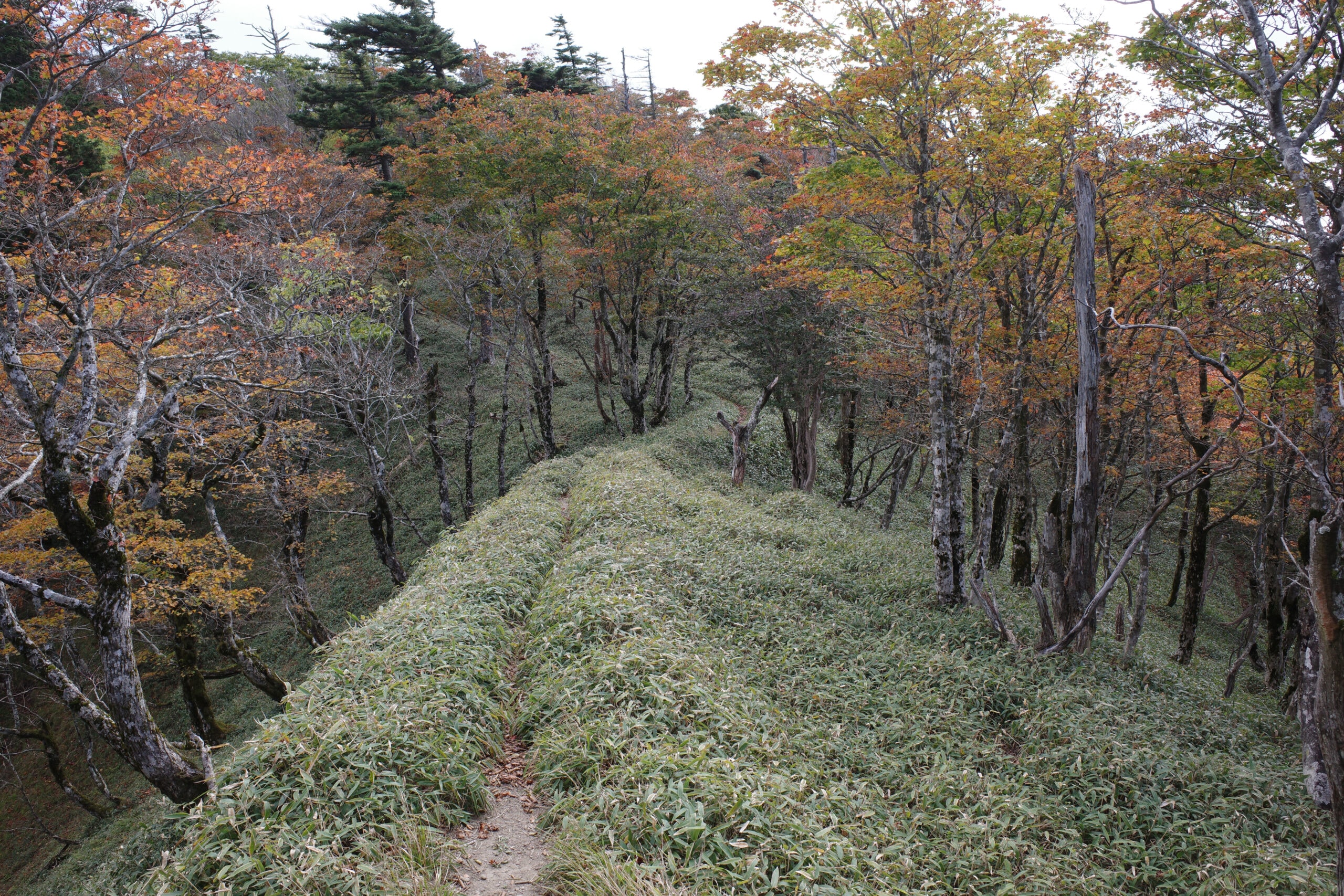
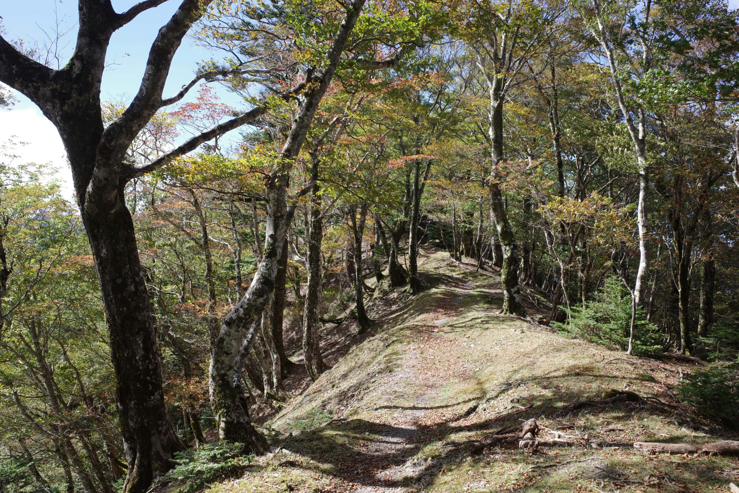
Continuing along the ridgeline, the burnt orange colours of the autumn leaves provided a brilliant contrast against the lush carpet of green grasses.
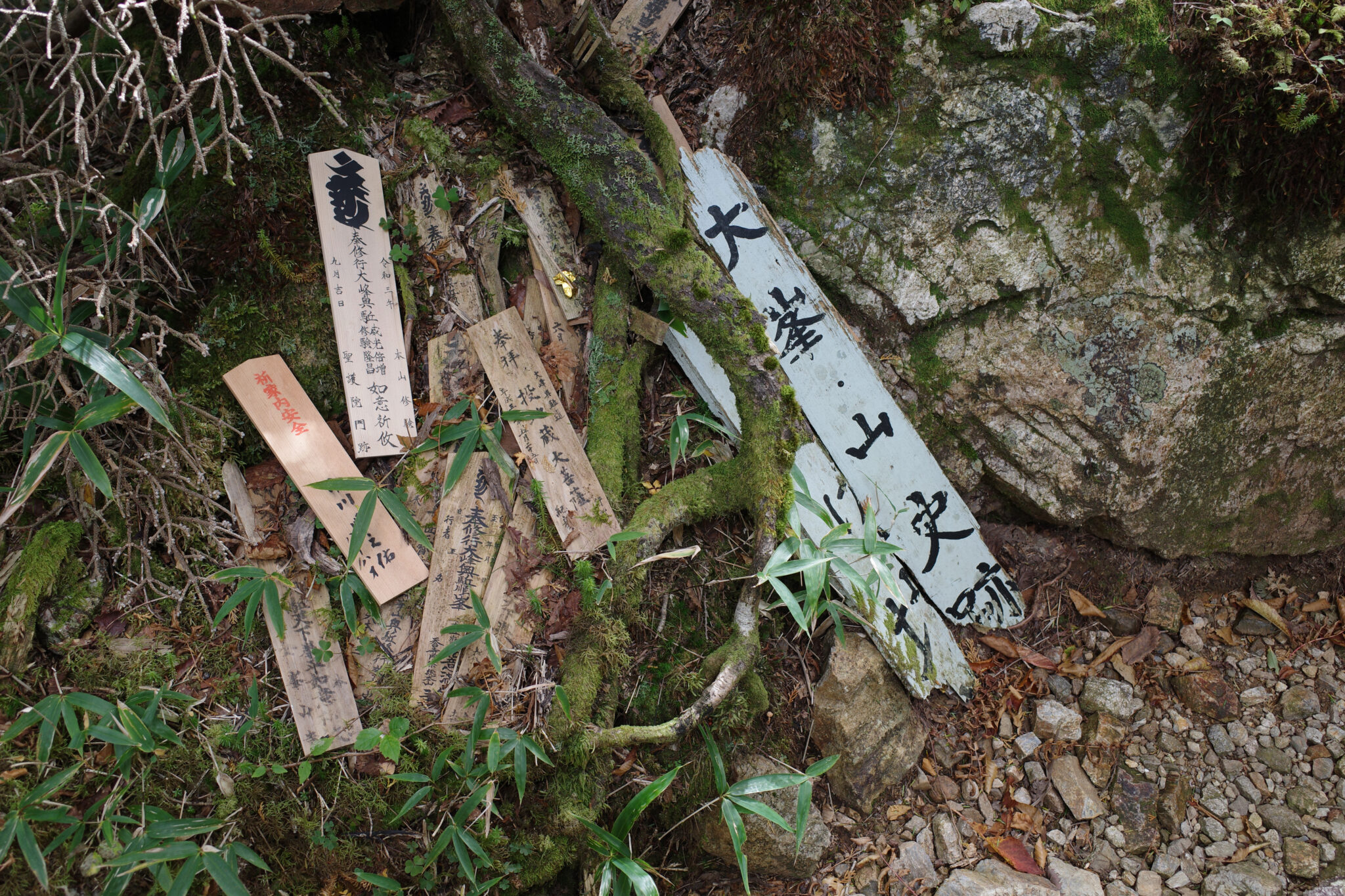
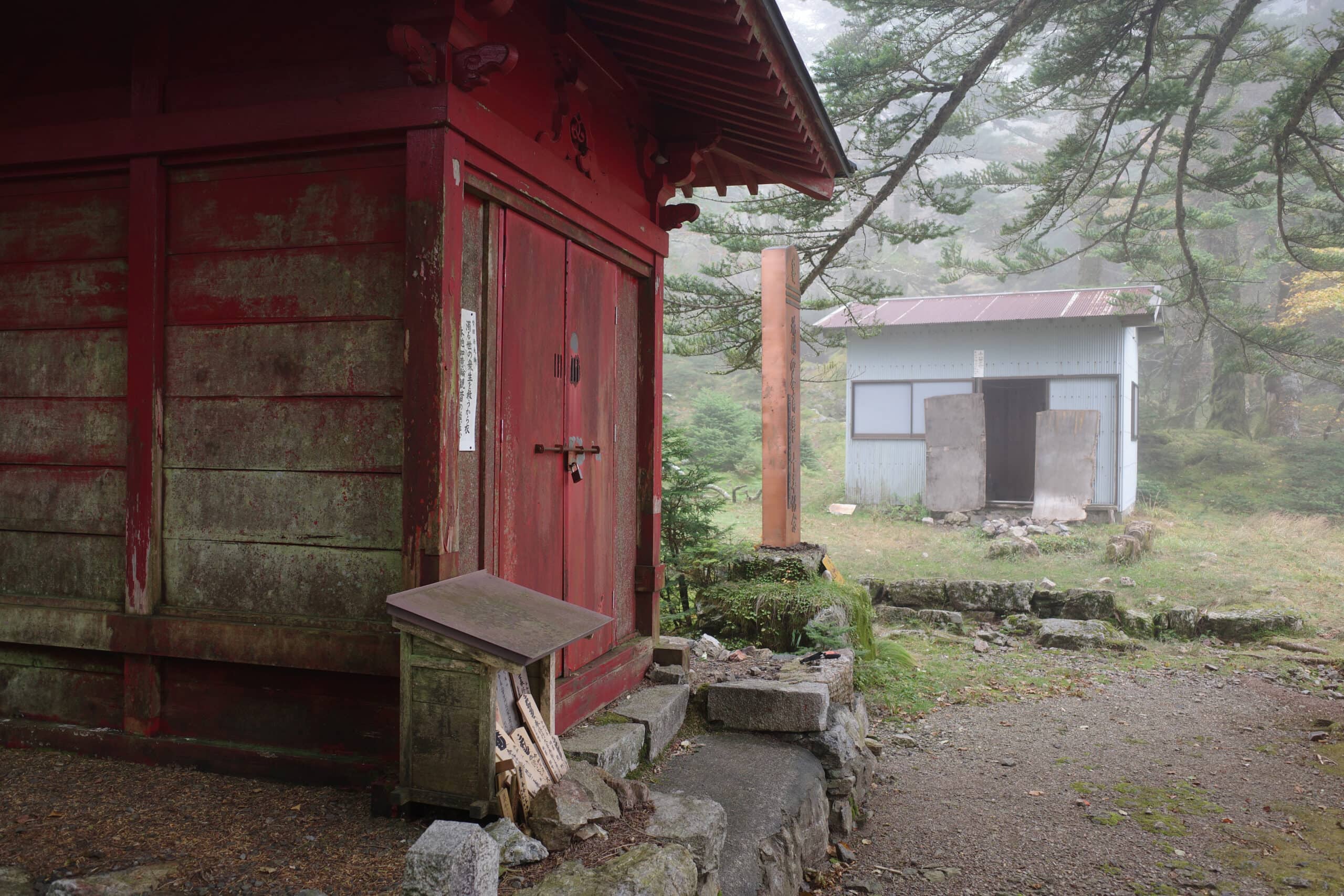
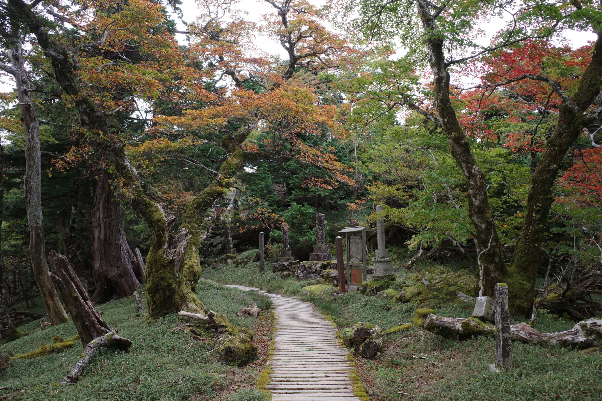
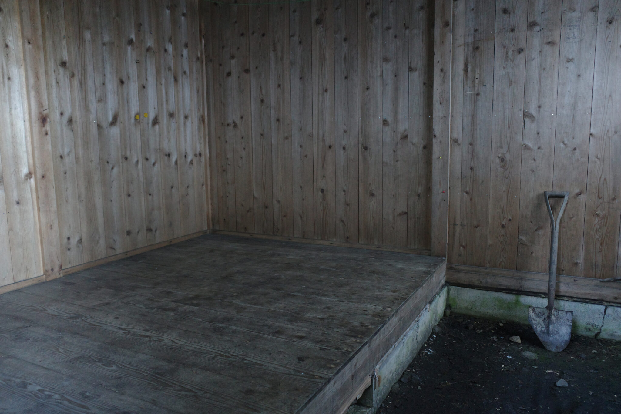
I arrived at Ozasa no Shuku (小笹の宿) earlier than I expected at 2 pm. Here a number of statues sit beside a small shrine and a humble hut that can sleep about three people (with plenty of space to camp outside).
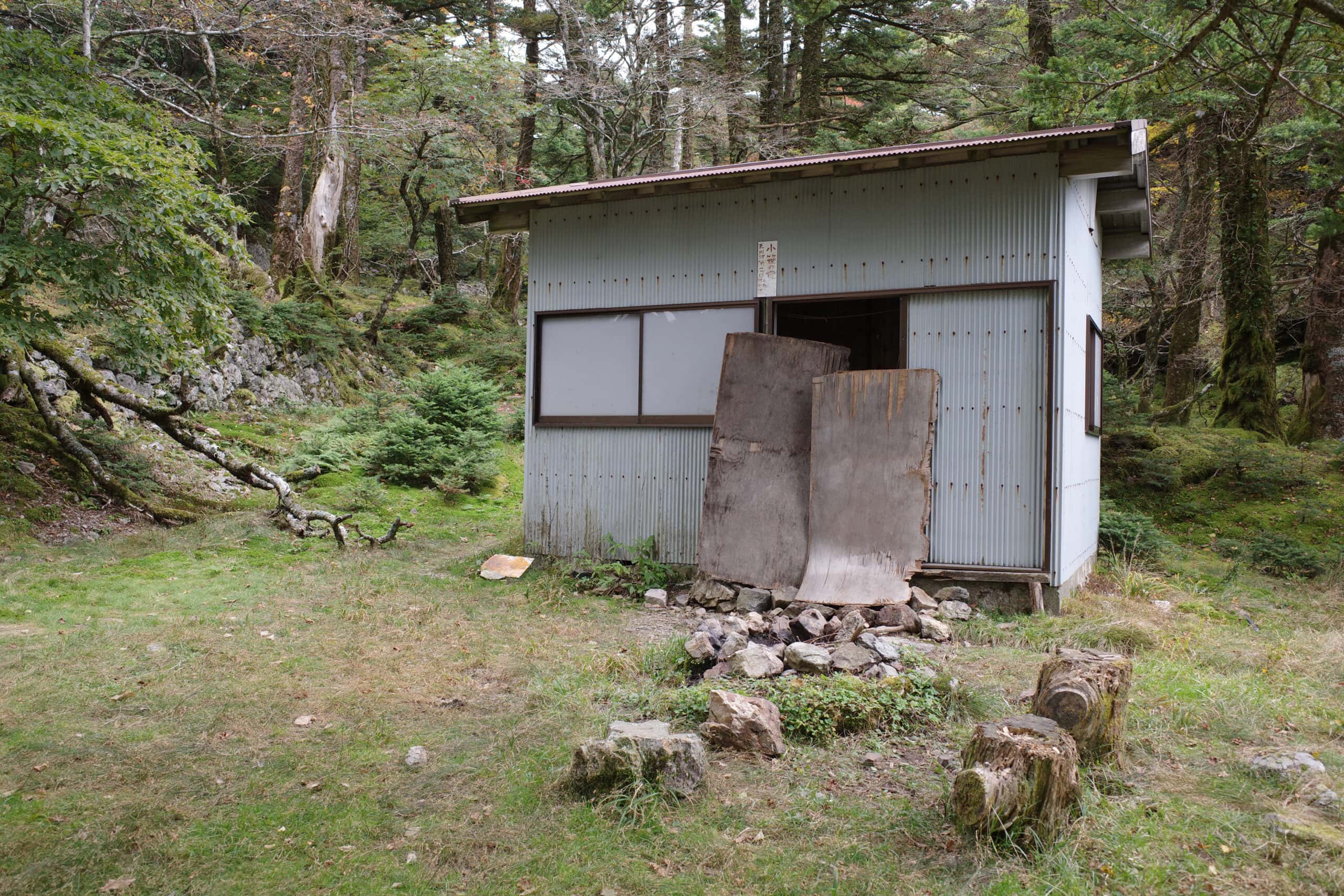
After collecting water from the adjacent stream I was in two minds about whether to continue walking when the rain began in earnest and decided for me.
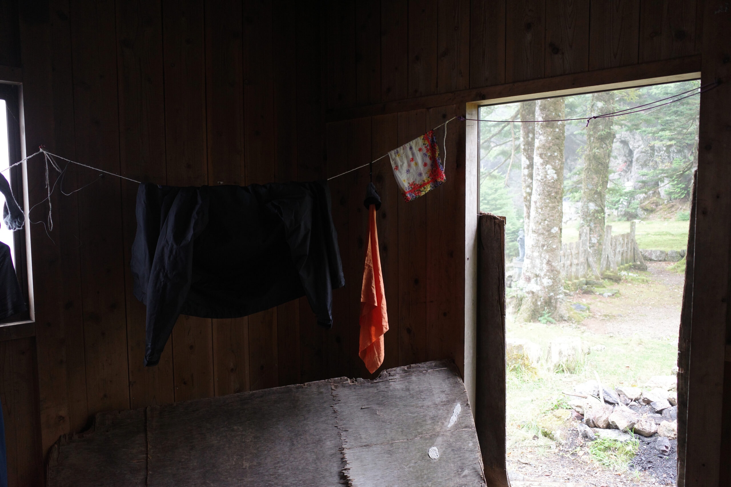
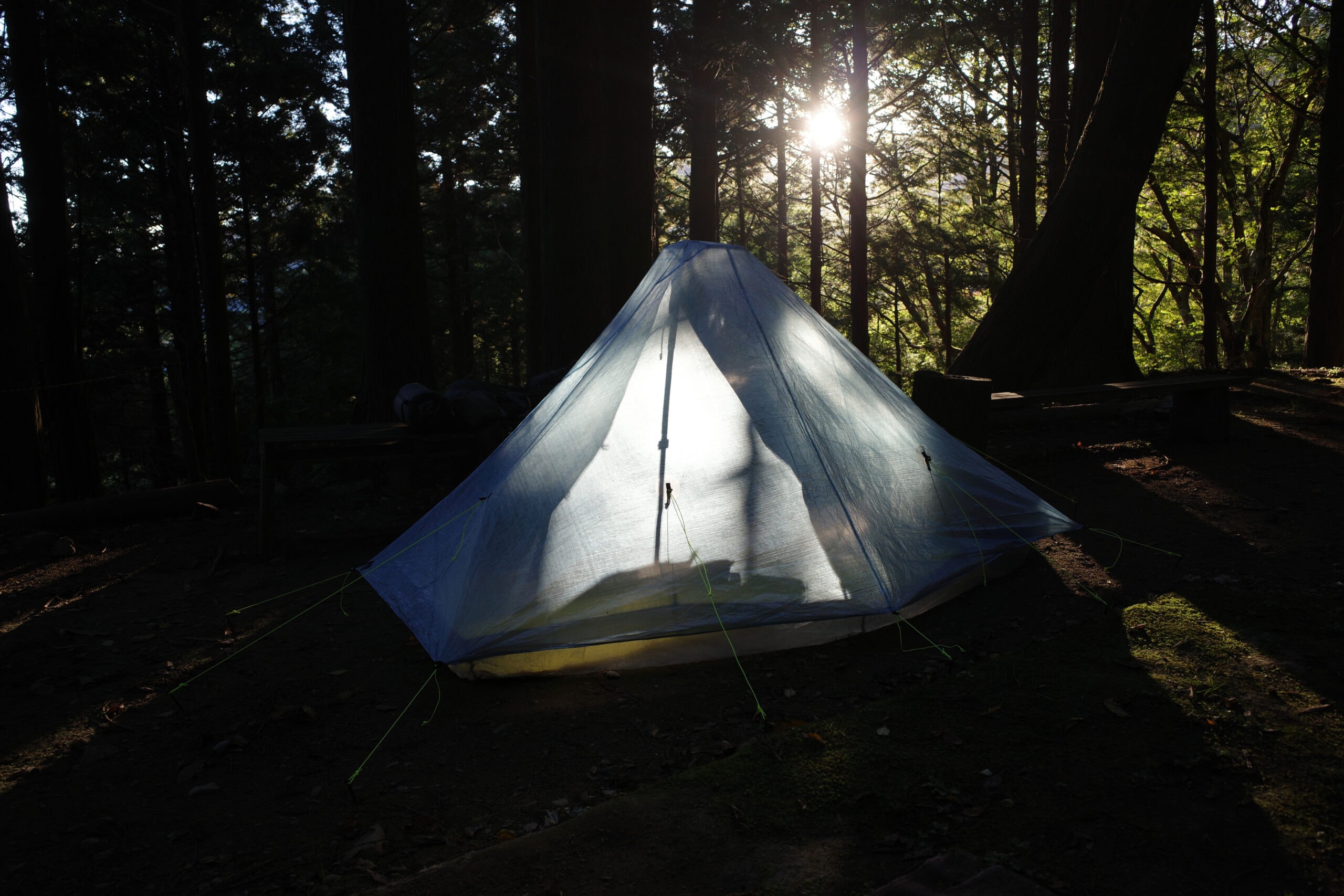
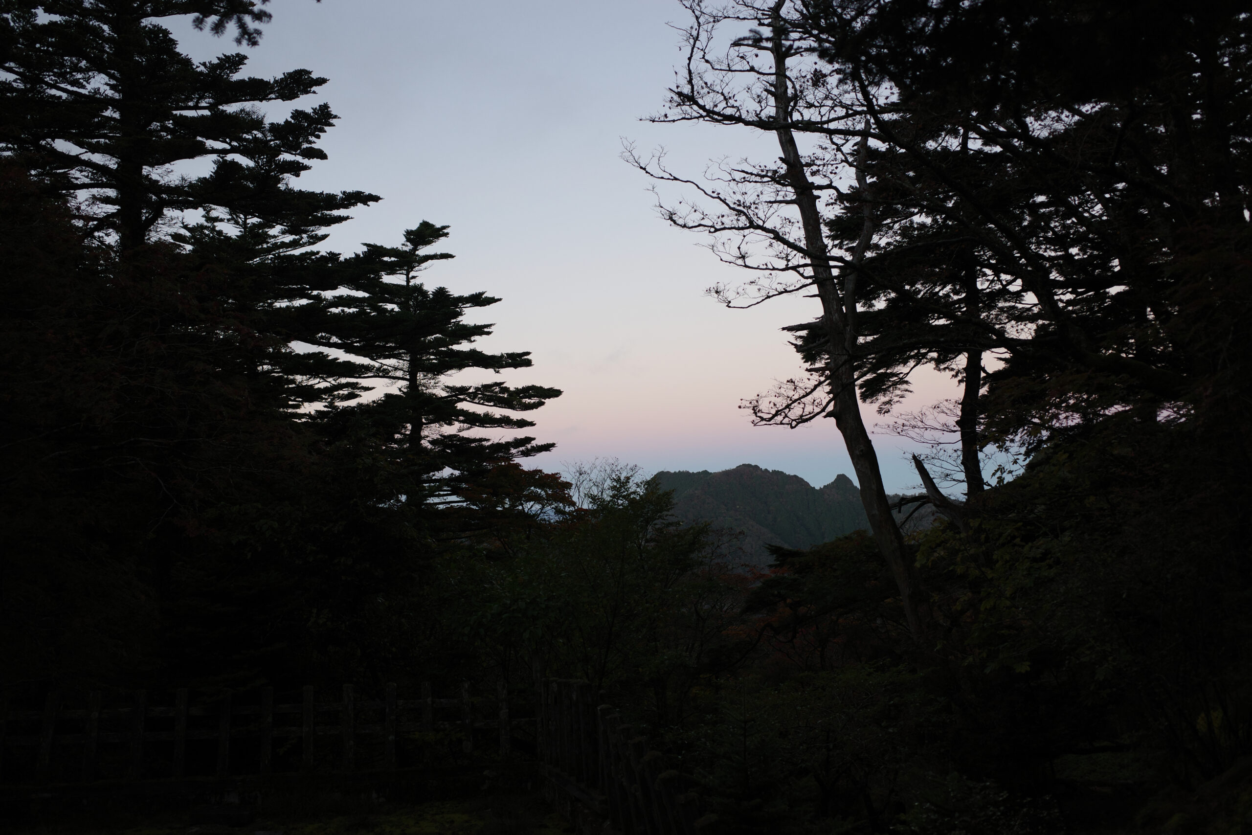
I changed into the clean clothes that I wore at night and made myself a hot chocolate while watching the mist roll across the mountains through the doorway.
I hadn’t really anticipated any downtime so cursed myself for not bringing a book to read. I contented myself by hunkering down in my sleeping bag and listening to a podcast on my phone for a couple of hours.
For dinner, I ate some surprisingly good ramen with char siu pork; just what my body needed after all the exertion. Lifting an old piece of plywood to block the doorway for the night, I felt very thankful for the basic shelter and water. I prayed for better weather in the morning.
Reply