Having been defeated by the hot weather and the treacherous route we took through the Hotaka Mountains in September 2016, a year later, Chen and I returned to Kamikōchi (上高地) to try a different trail with the objective of reaching Mount Yari (槍ヶ岳) over a four day hike, camping at mountain huts along the way.
Spoiler alert: we changed our plans again but we still had a spectacular hike and covered some significant new ground.
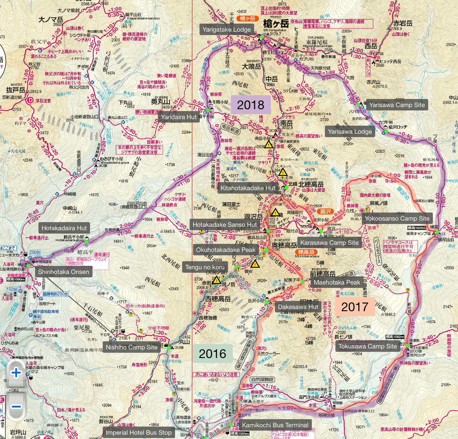
The map above highlights 3 trails:
- Green (2016): Kamikōchi to Mt. Nishi-Hotakadake (西穂高岳)
- Orange (2017): Kamikōchi to Mt. Hotakadake (this post)
- Purple (2018): Kamikōchi to Mt. Yarigatake (槍ヶ岳)
Day 0
Tokyo → Naka-no-yu Onsen
It’s possible to take an overnight bus from Tokyo to Kamikōchi to start hiking at the crack of dawn, but we didn’t feel like beginning the trip without any sleep. Instead, we opted to travel to the perimeter of the Chūbu-Sangaku National Park the day before and stay overnight at the conveniently located Naka-no-yu Onsen (中の湯温泉旅館).
Naka-no-yu can be reached by taking a train from Shinjuku to Matsumoto Station (松本駅) and then a free shuttle bus provided by the onsen. Be sure to request the shuttle bus when you book.
Day 1 (7km)
Kamikōchi → Hotakadake Sanso
Sufficiently rested, we took a bus from near the onsen to Kamikōchi Bus Terminal (上高地バスターミナル) around 6.30 am. The onsen also provides a free shuttle bus but the first one isn’t till 8.30 am.
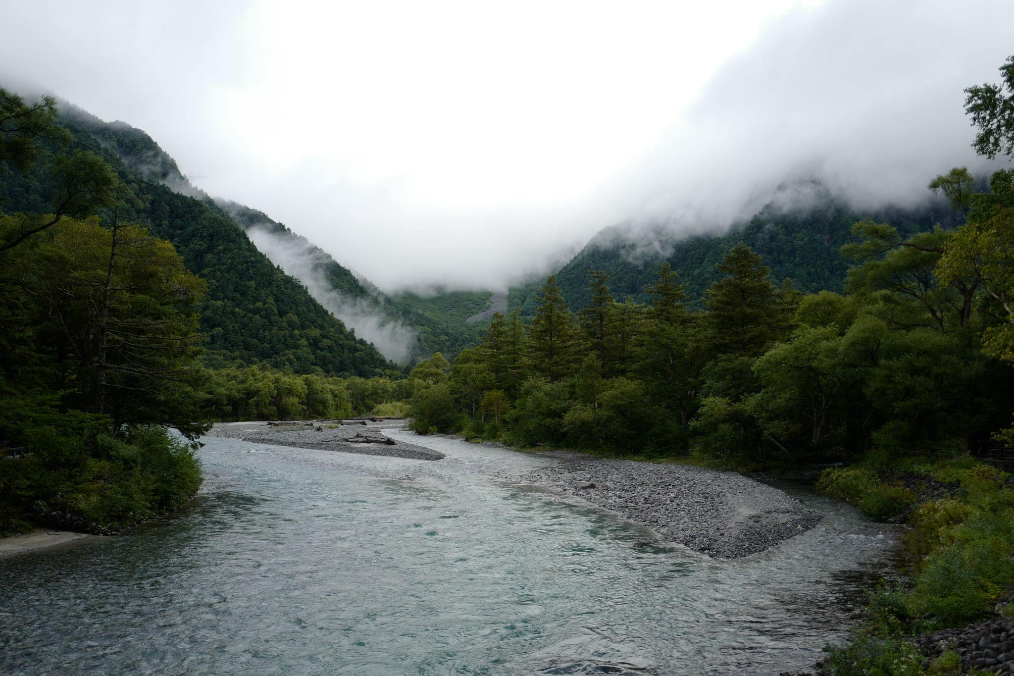
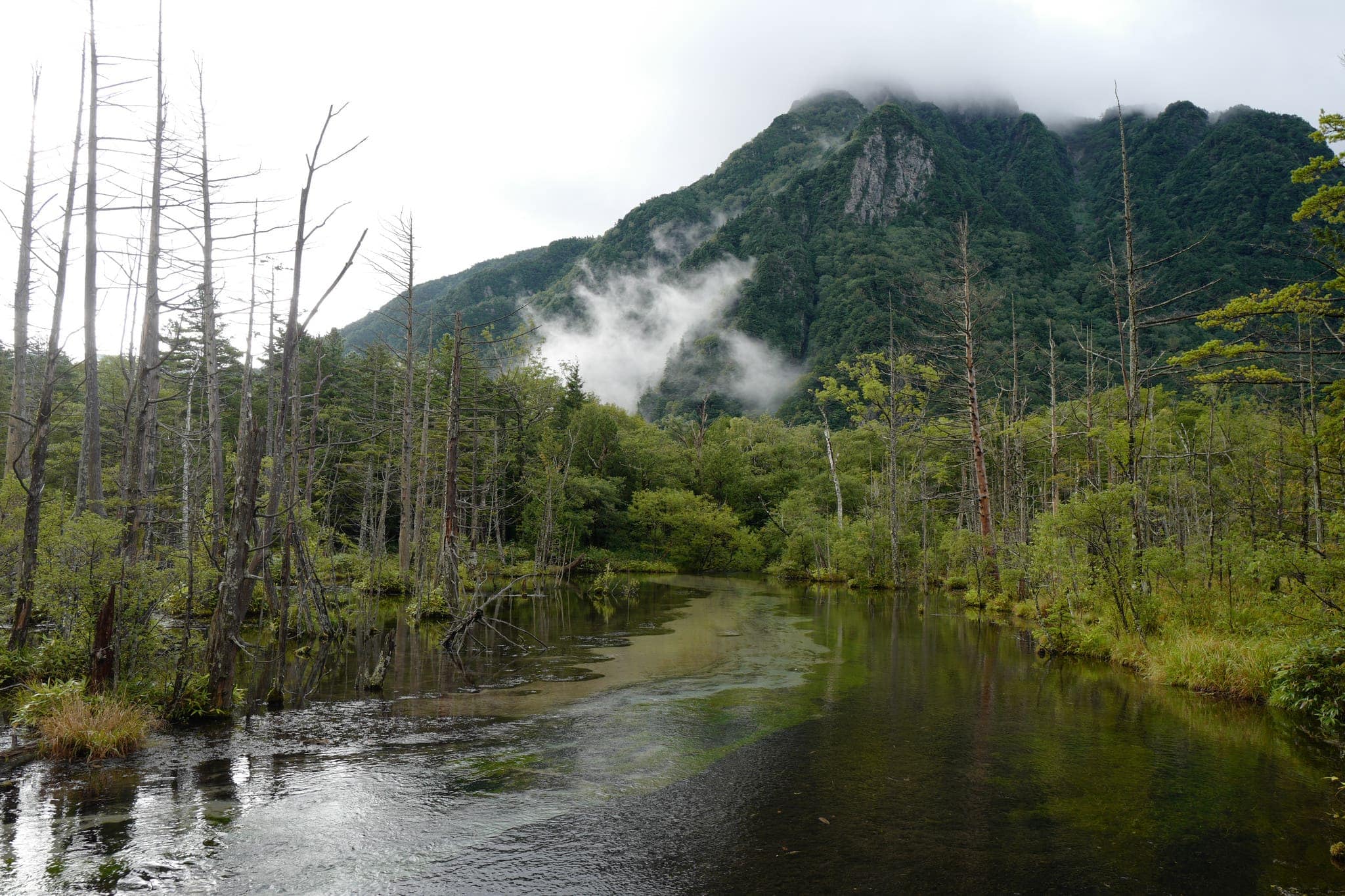
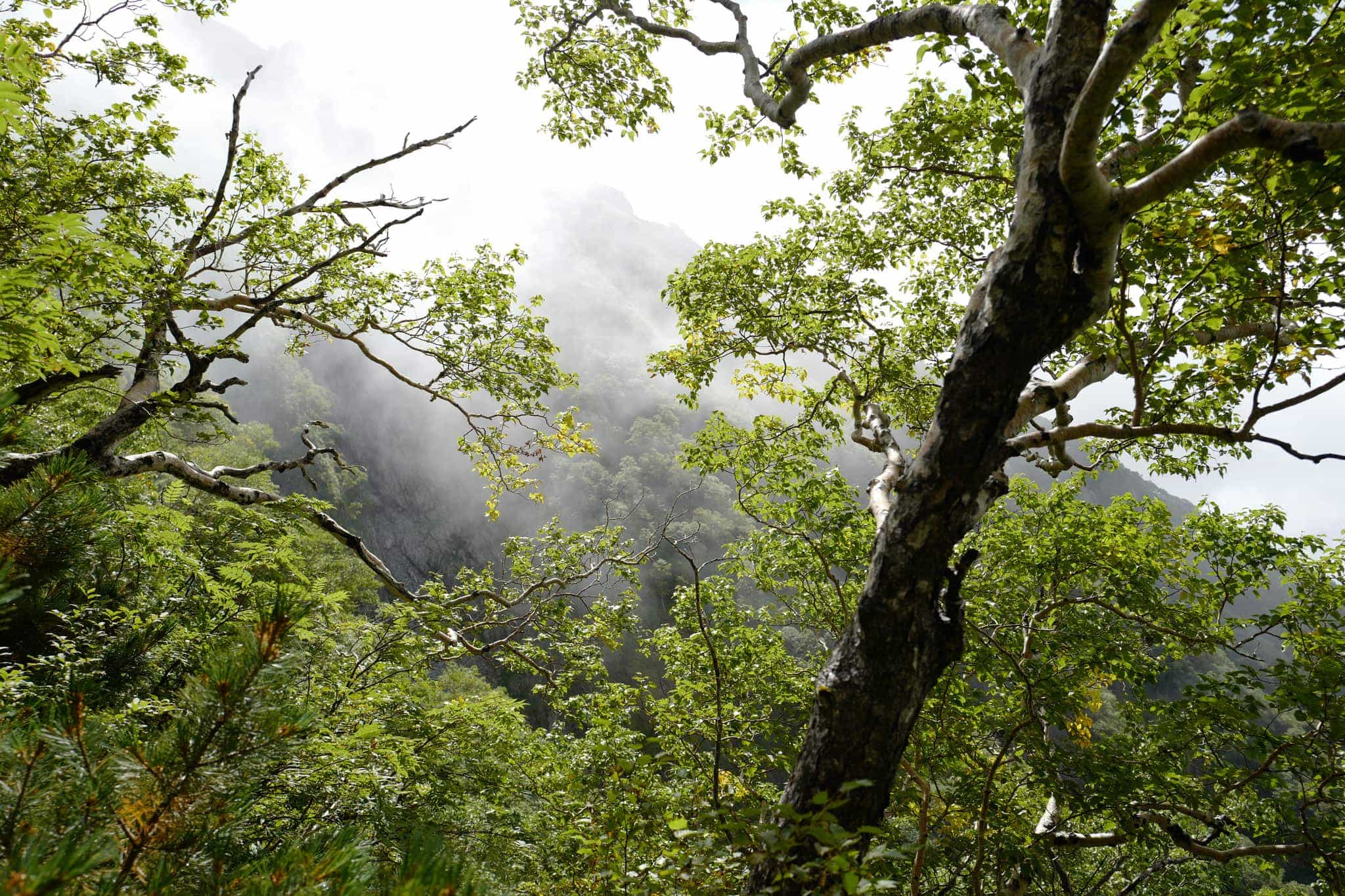
There had been an almighty storm the night before but to our relief, it had stopped raining early morning. The peaks of the surrounding mountains were shrouded in mist and the eerie desolation of the park lent an almost prehistoric feeling to the surroundings.
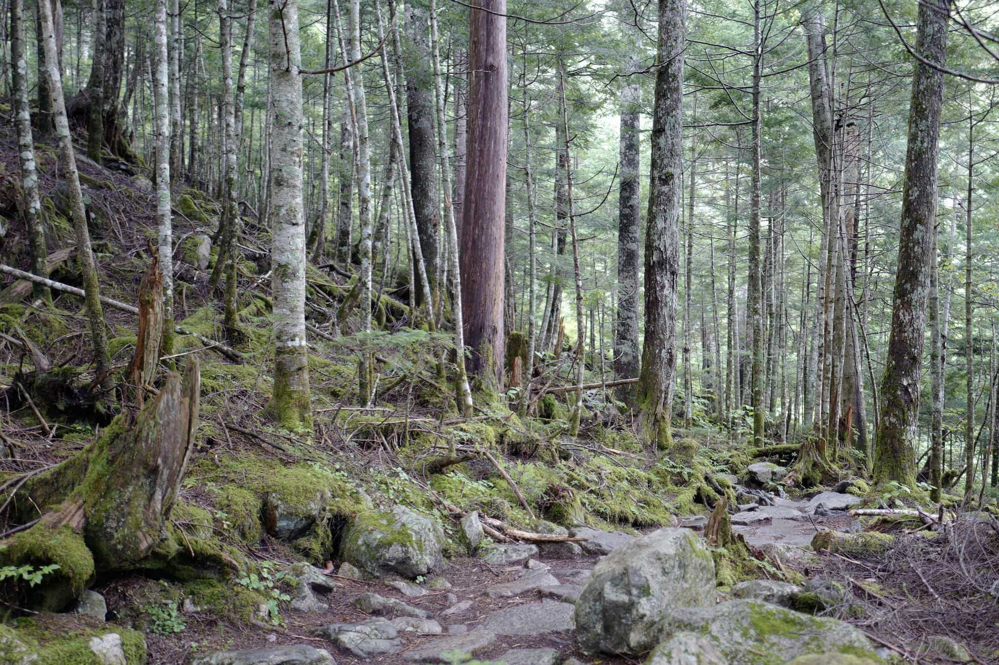
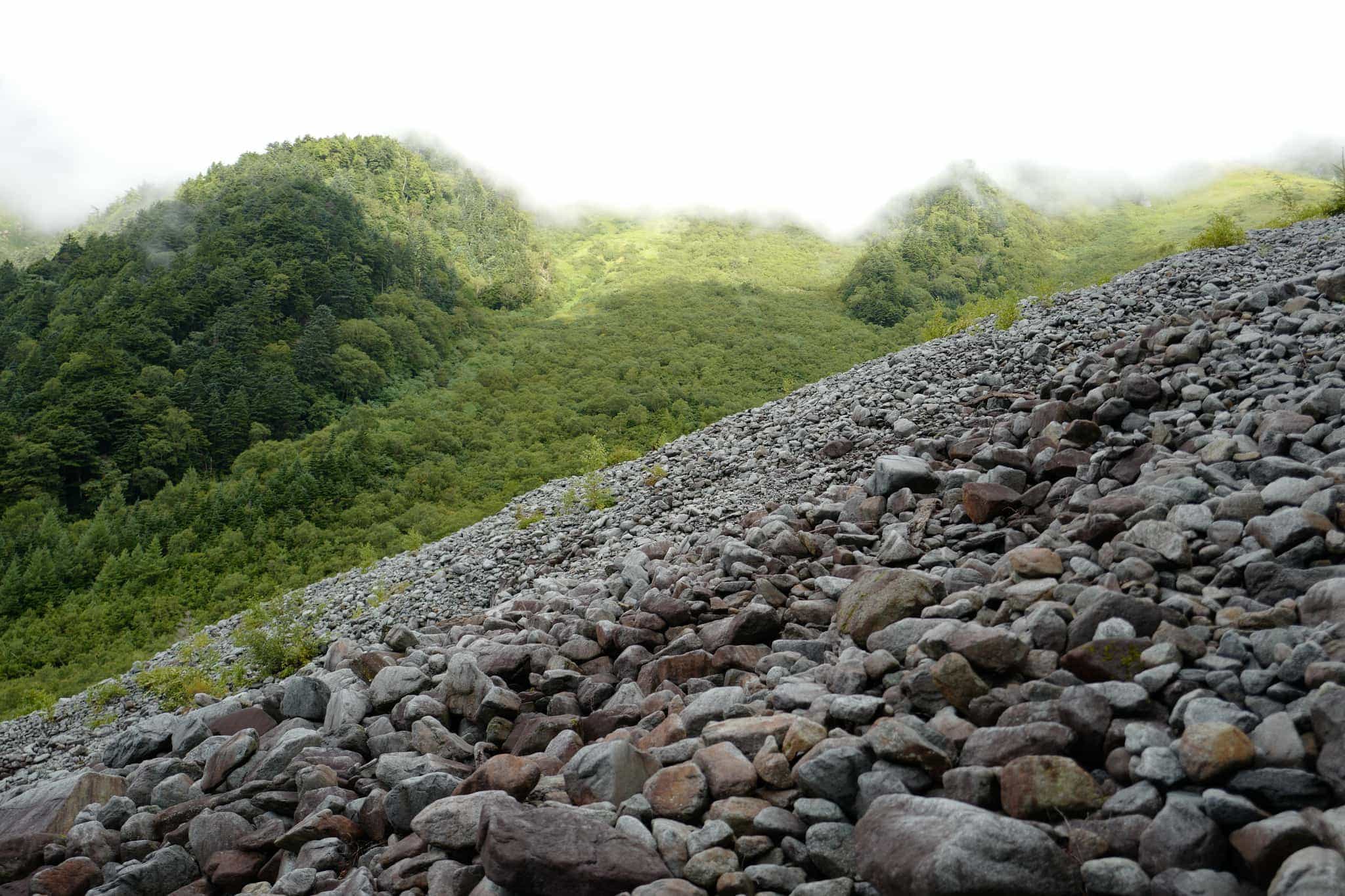
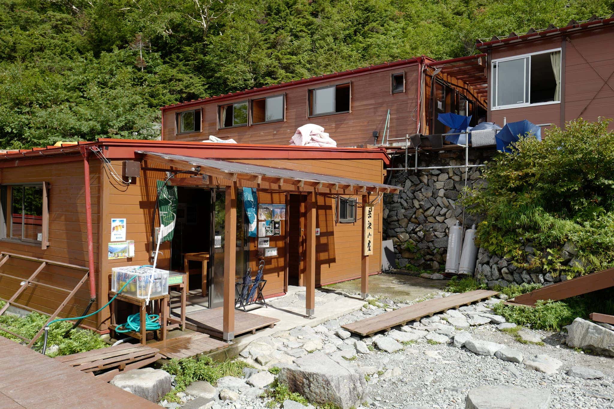
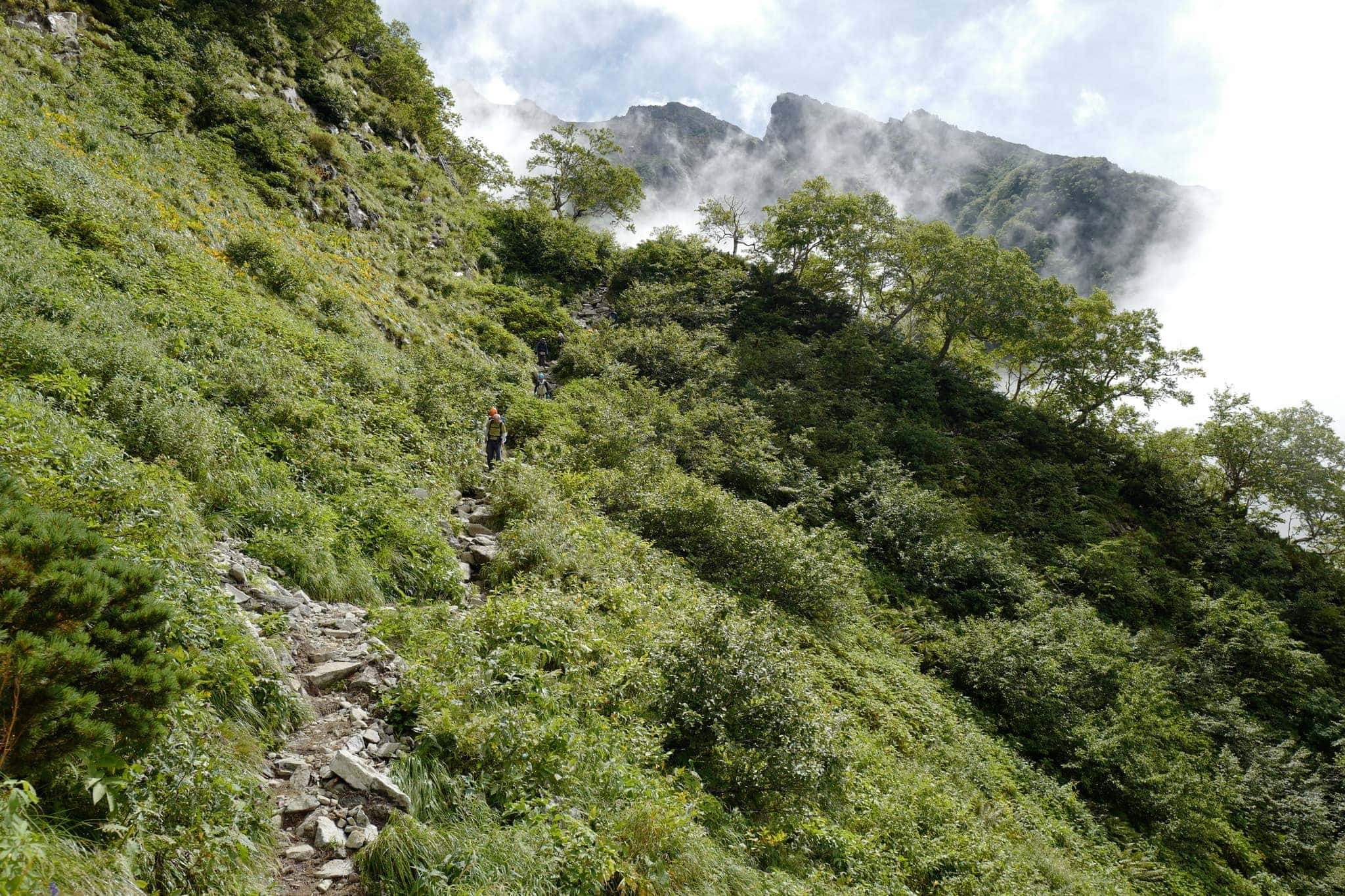
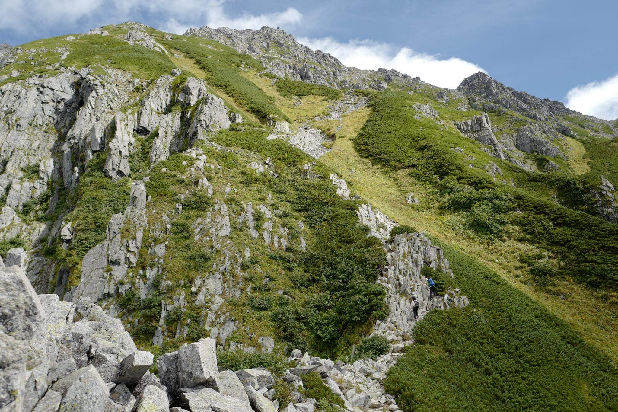
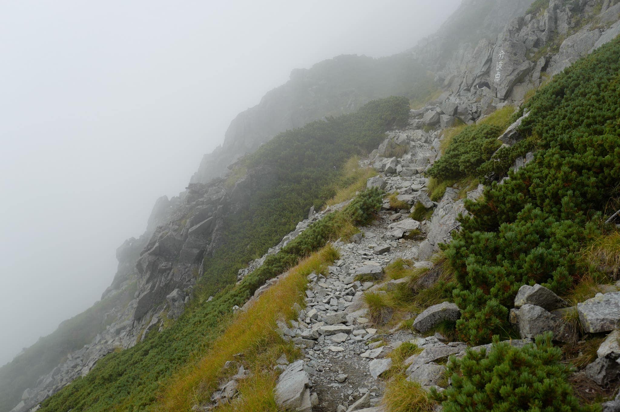
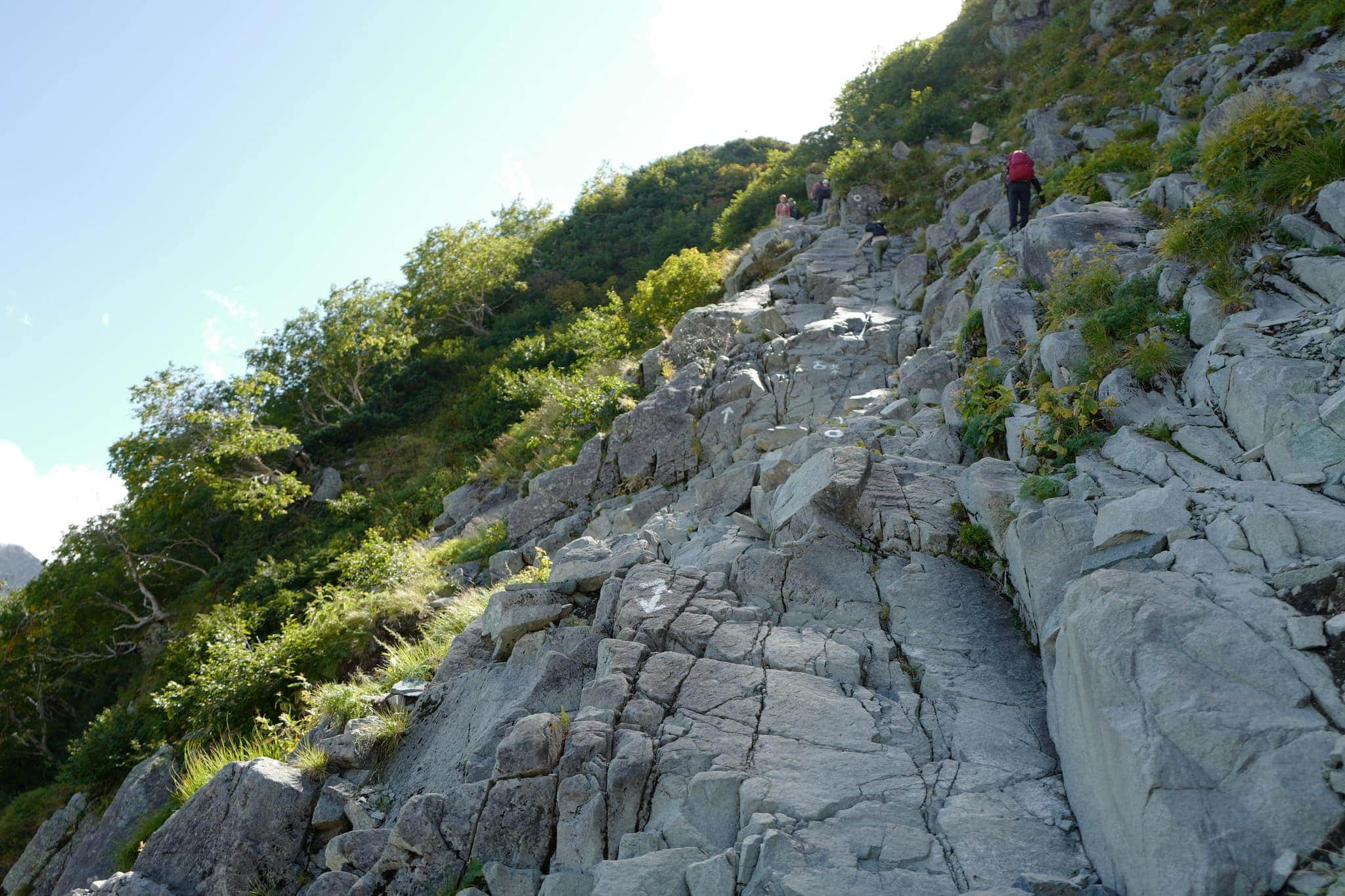
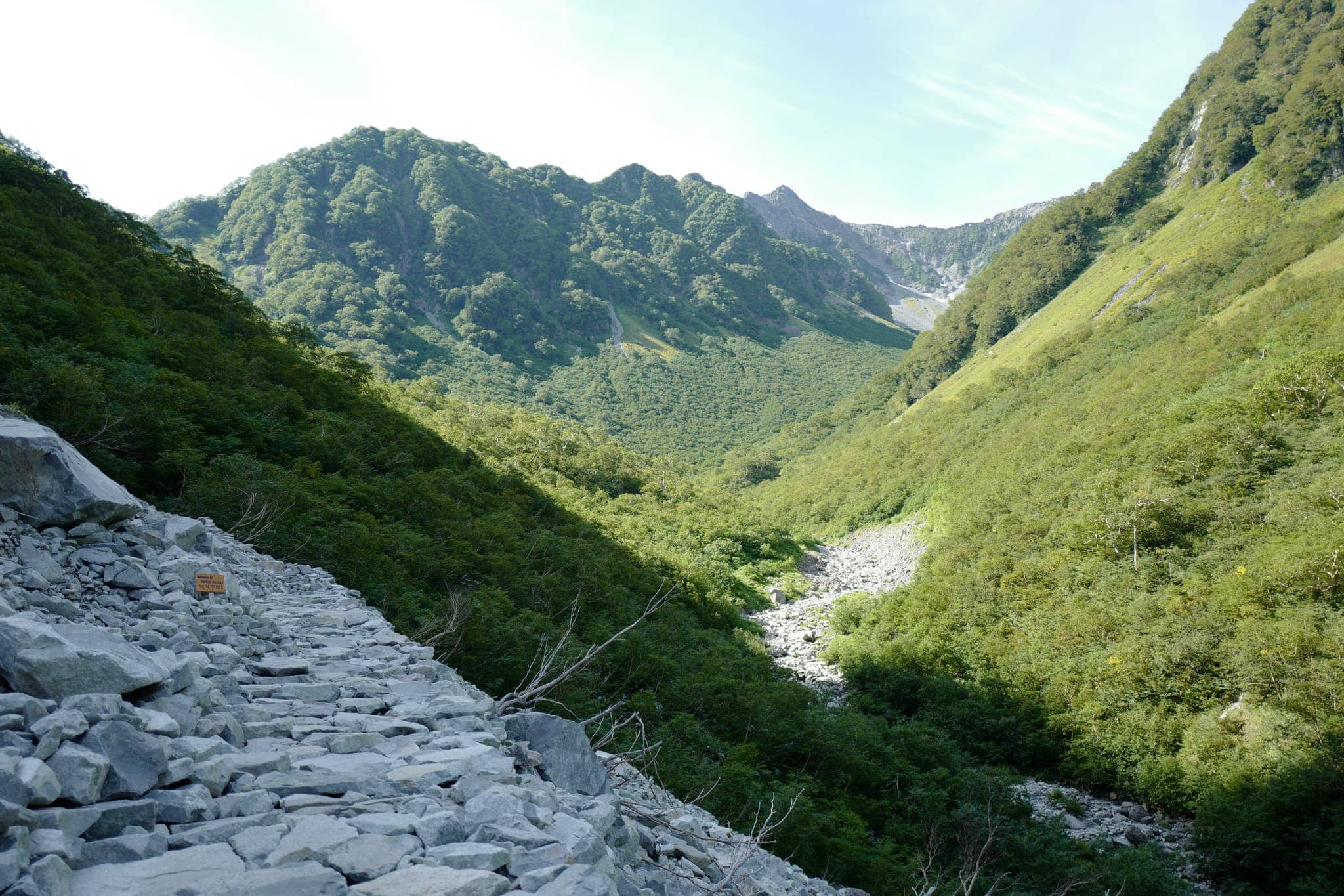
The first leg of the hike, starting from 1504m, involved retracing our steps back up 4km to Dakesawa Camp Site (岳沢小屋) where we had descended from the year before. The trail runs parallel to a rocky scree slope and is fairly easy going except for a short steep section at the end.
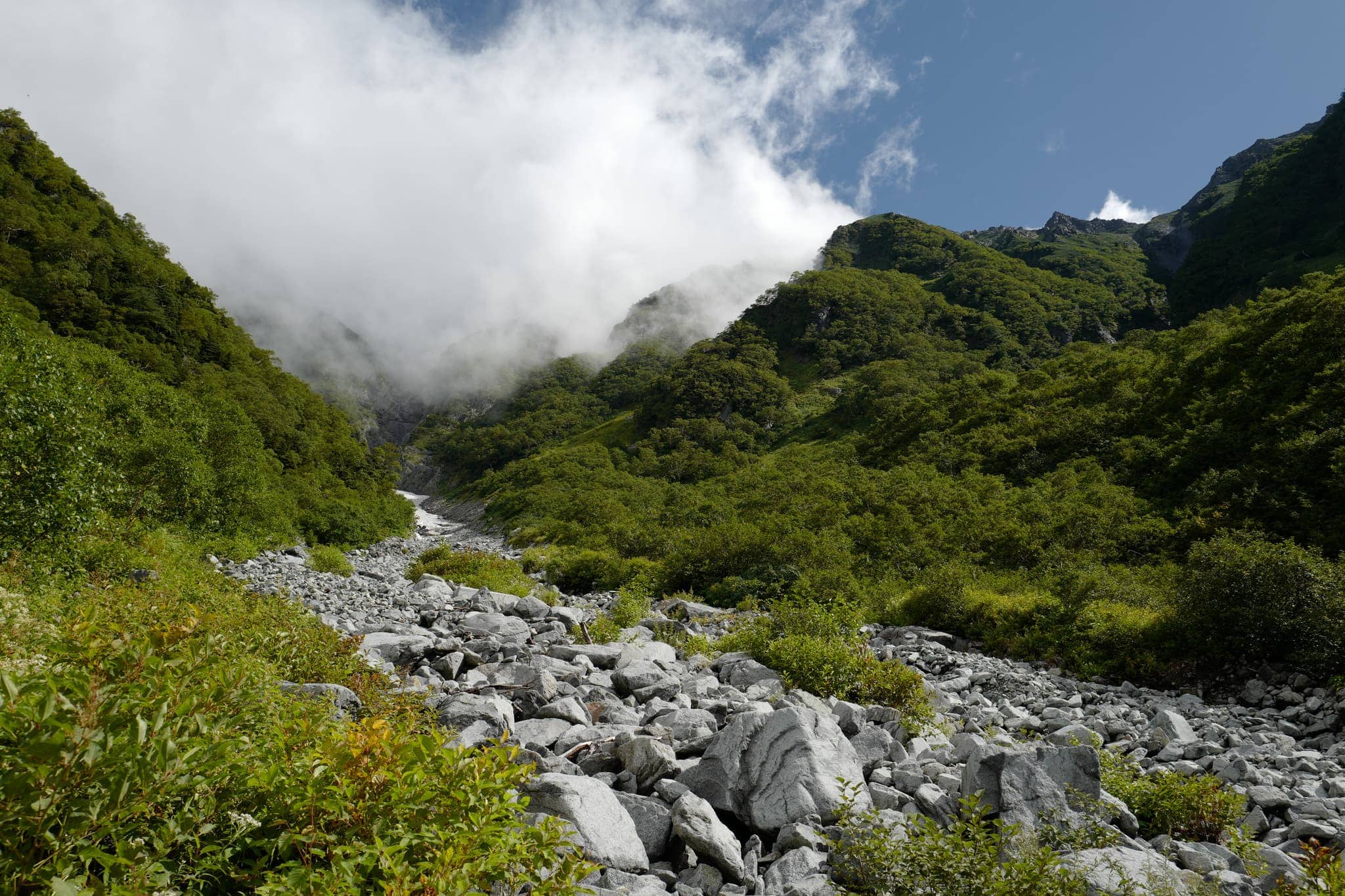
Arriving at 9.15 am, we paused to take in the scenery at 2170m, eat some snacks, and survey the route ahead which was still partly obscured by the mist. Signs in Japanese and English warn against inexperienced hikers attempting the higher routers and not to depart after 10 am or you risk not making it to the next hut.
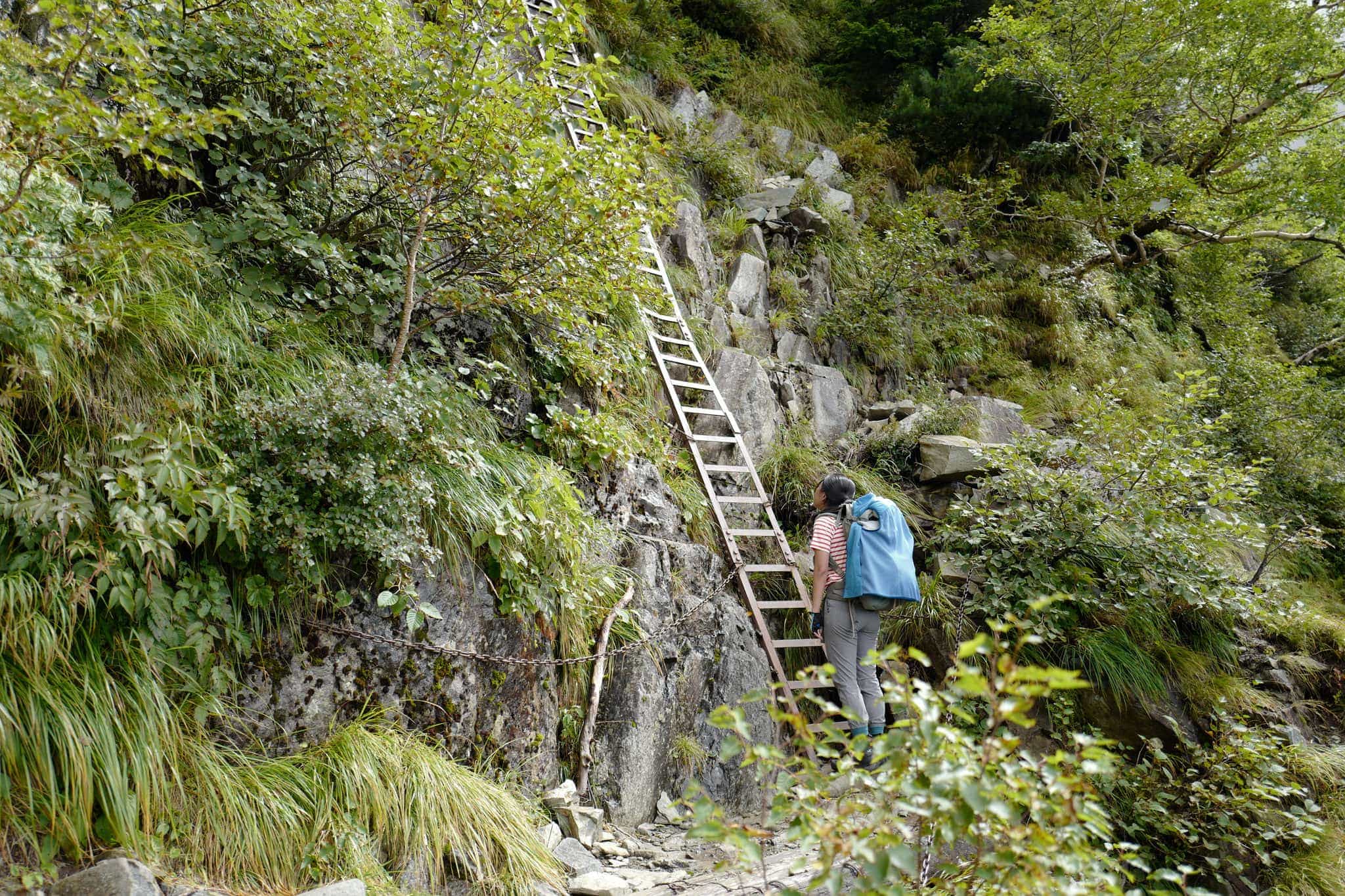
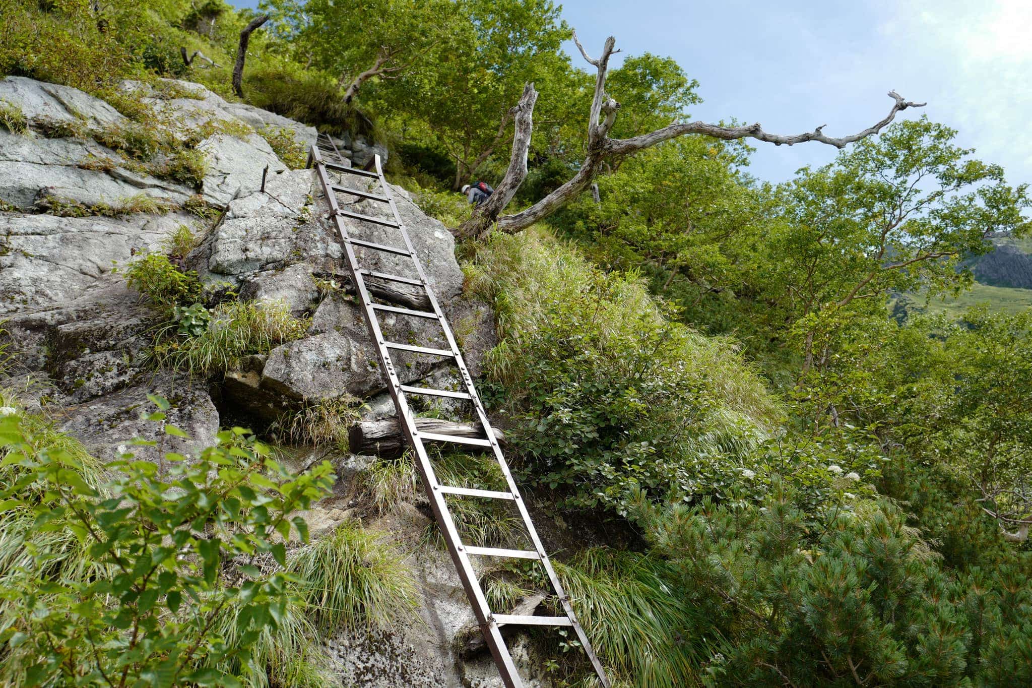
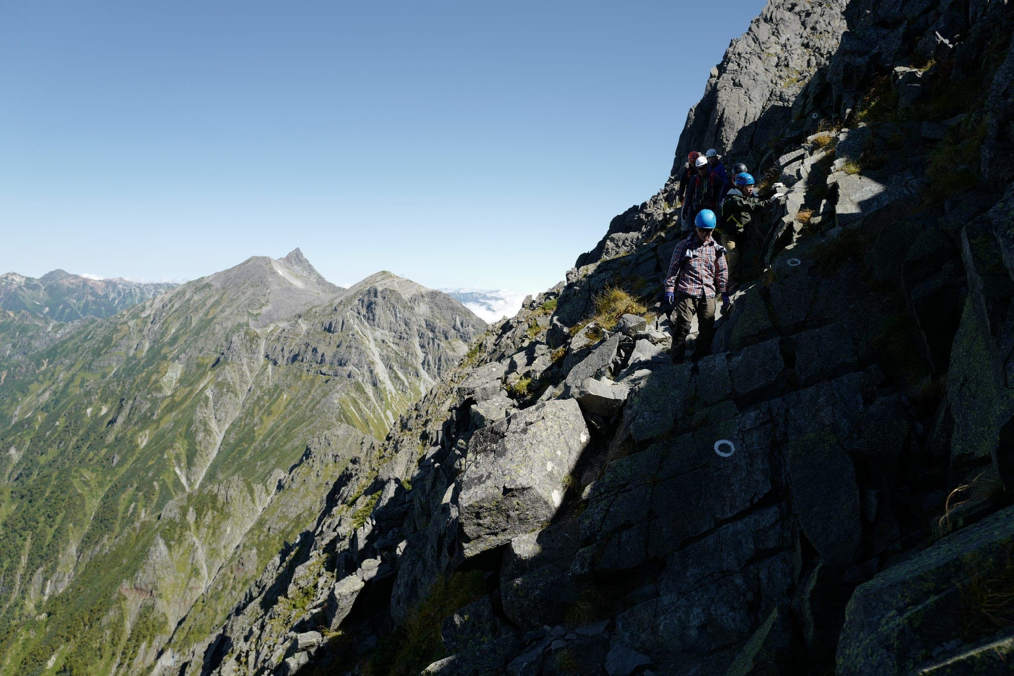
The second section ascends steeply, closely hugging the mountainside all the way up to the ridge-line at 3000m, just below the peak of Mount Maehotaka (前穂高). There are a few long ladders and some chains on the way up but nothing that felt overly exposed.
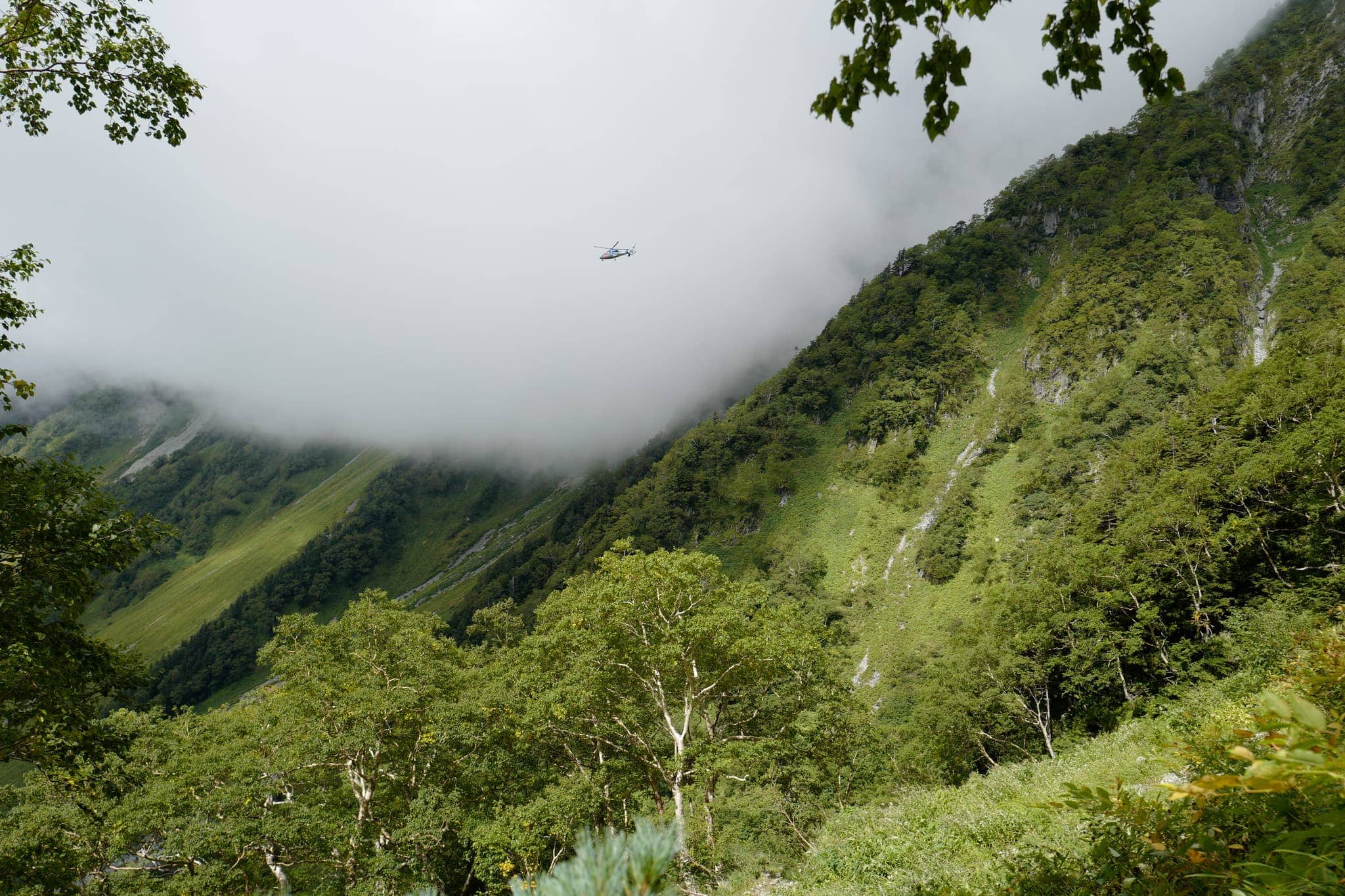
While we were making our way up, a helicopter was buzzing around in circles nearby. Since it didn’t appear to be carrying any supplies we suspect it may have been on a search and rescue mission.
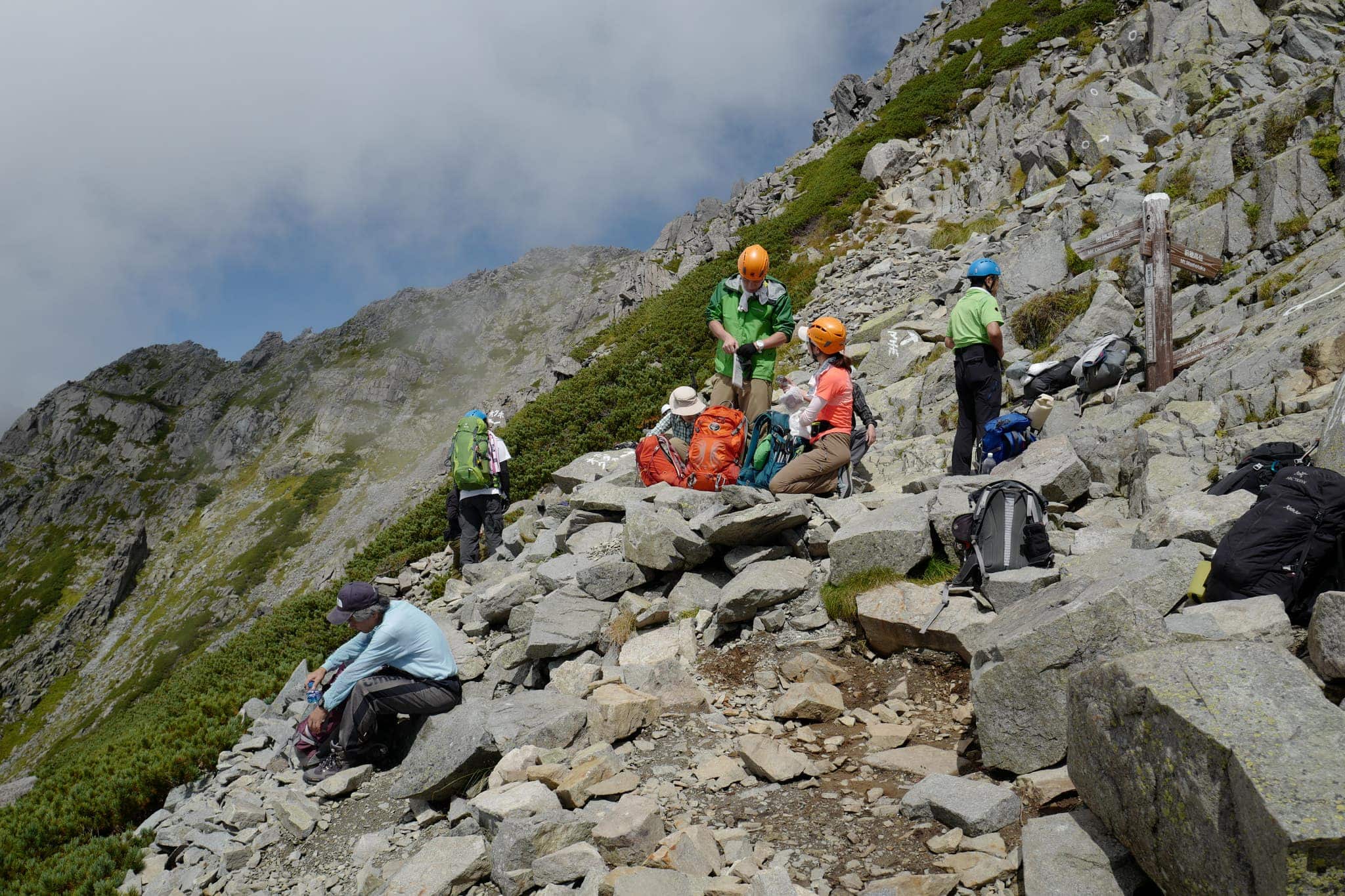
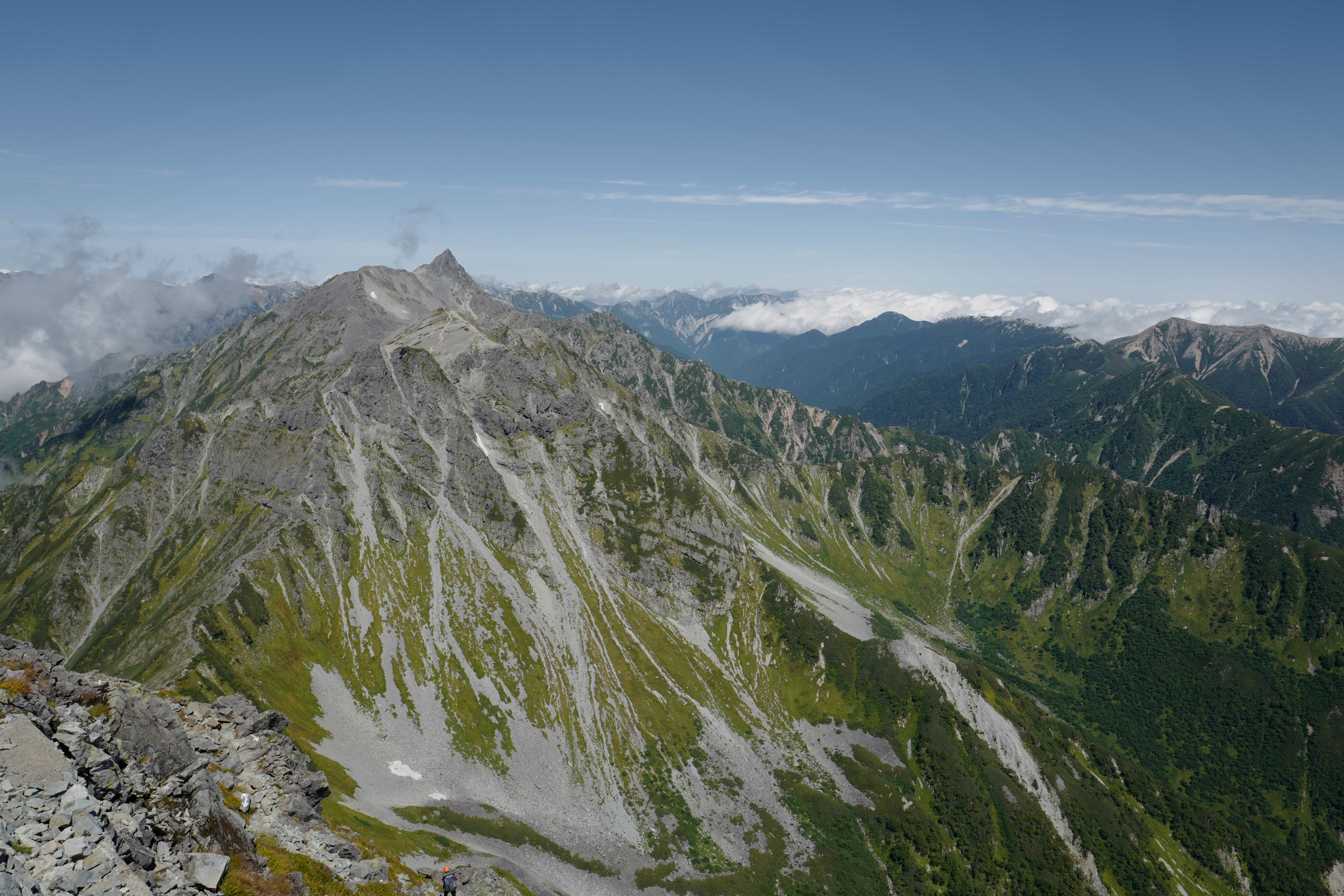
After 2.5 hours of climbing, we reached a rocky outcrop at the beginning of the ridge-line where a group of hikers were resting. It was noon and we stopped for some food while watching the swirling clouds that provided intermittent views of the stunning valley below.
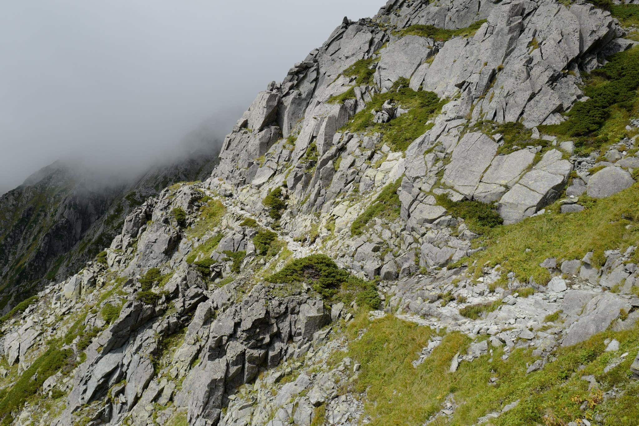
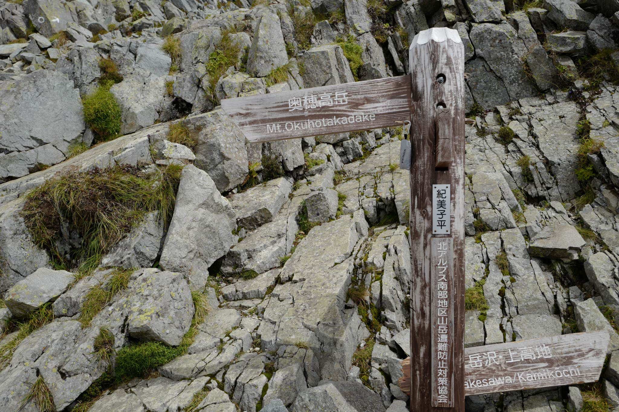
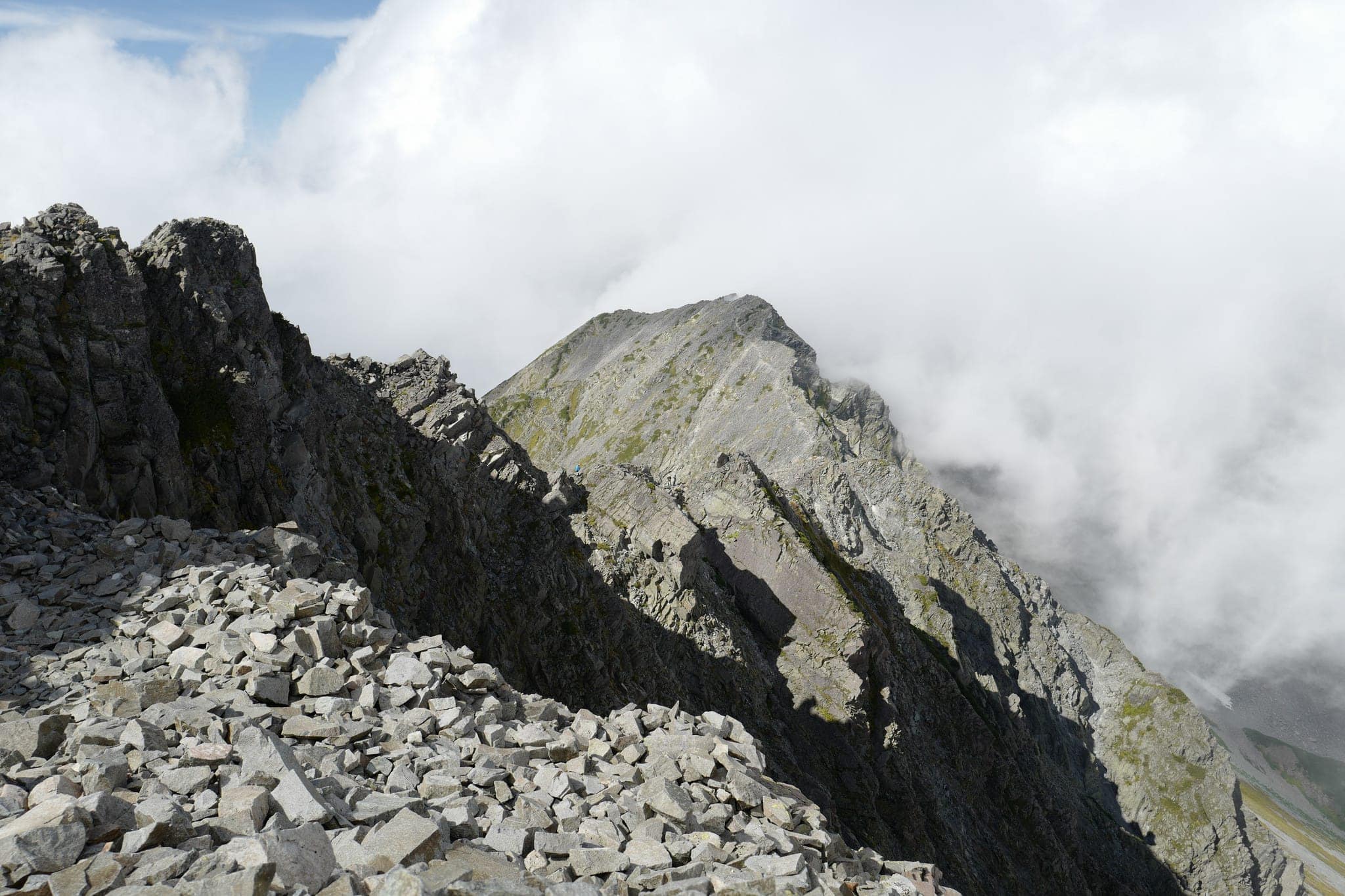
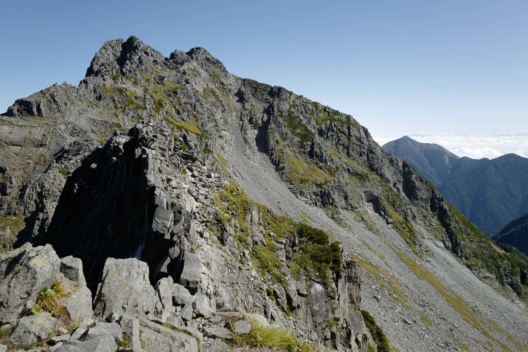
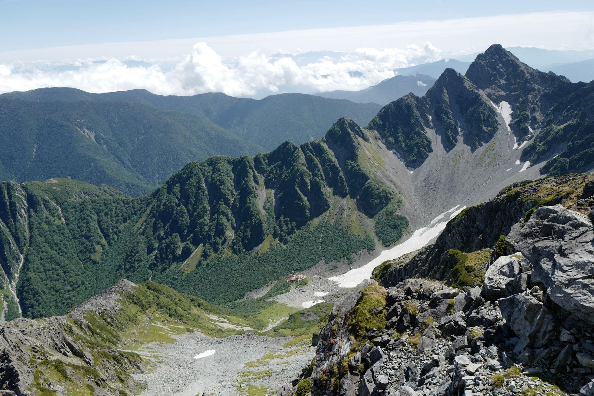
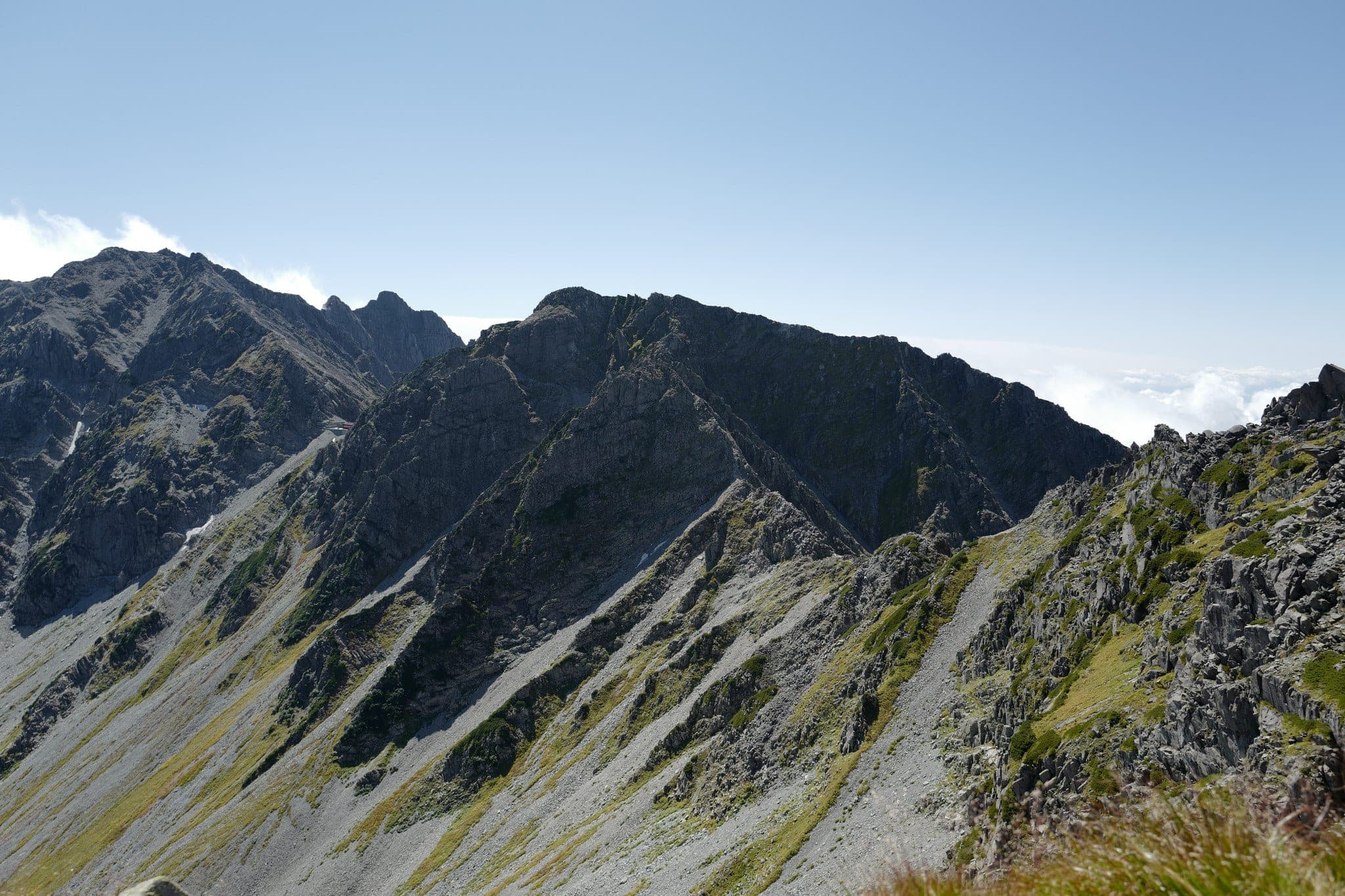
The ridge-line slopes gently up towards the peak of Okuhotakadake (奥穂高岳) which takes a little less than 2 hours to reach. Due to the mist, we lost the trail at one point but after some off-road scrambling managed to find it again.
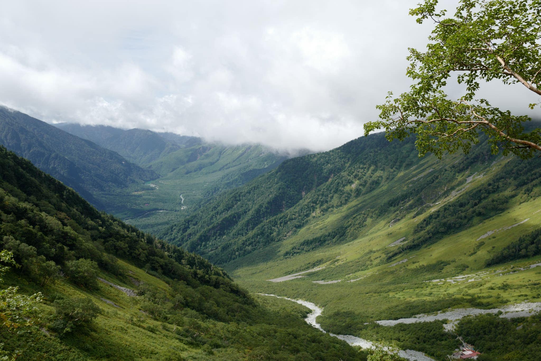
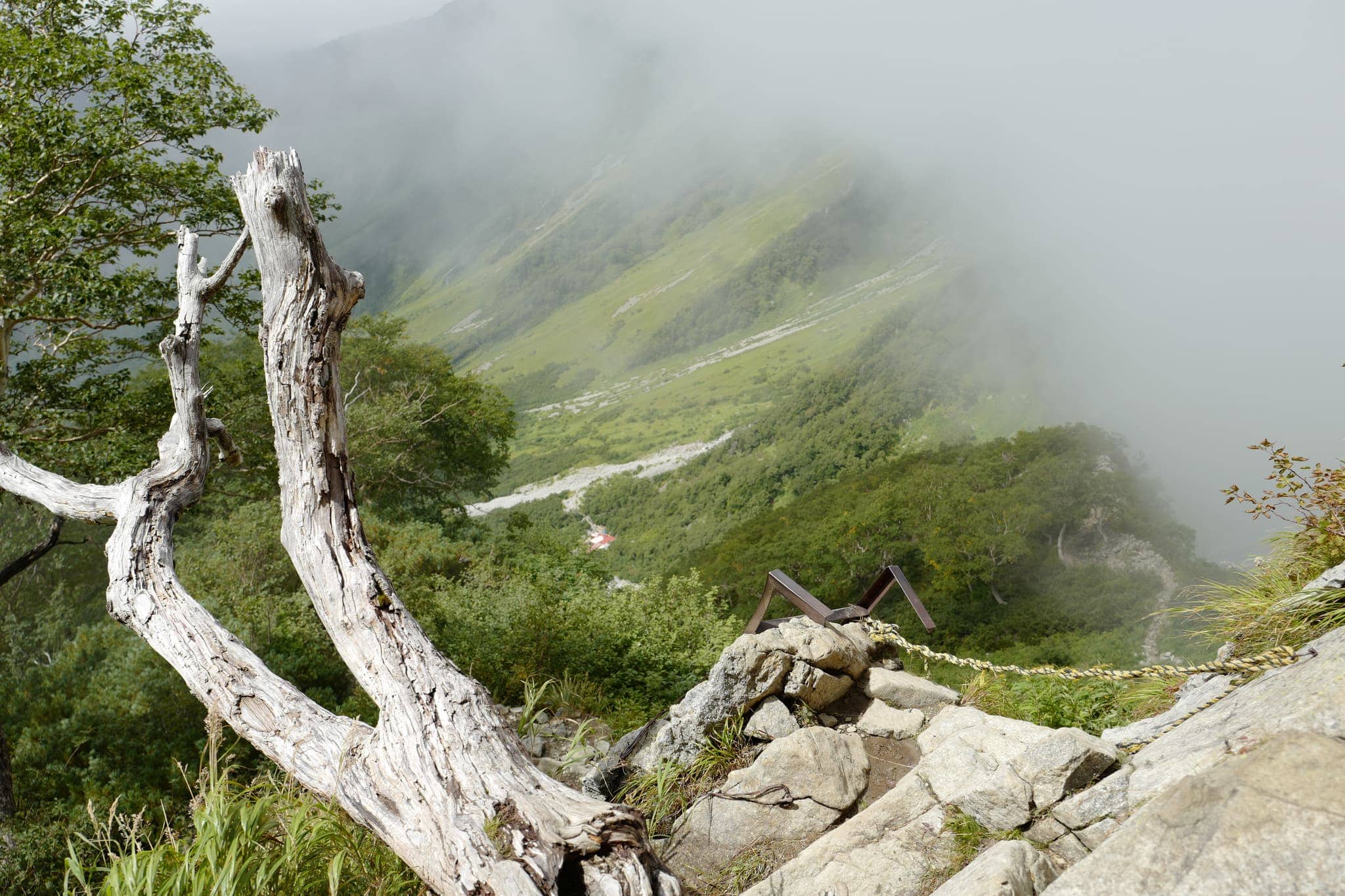
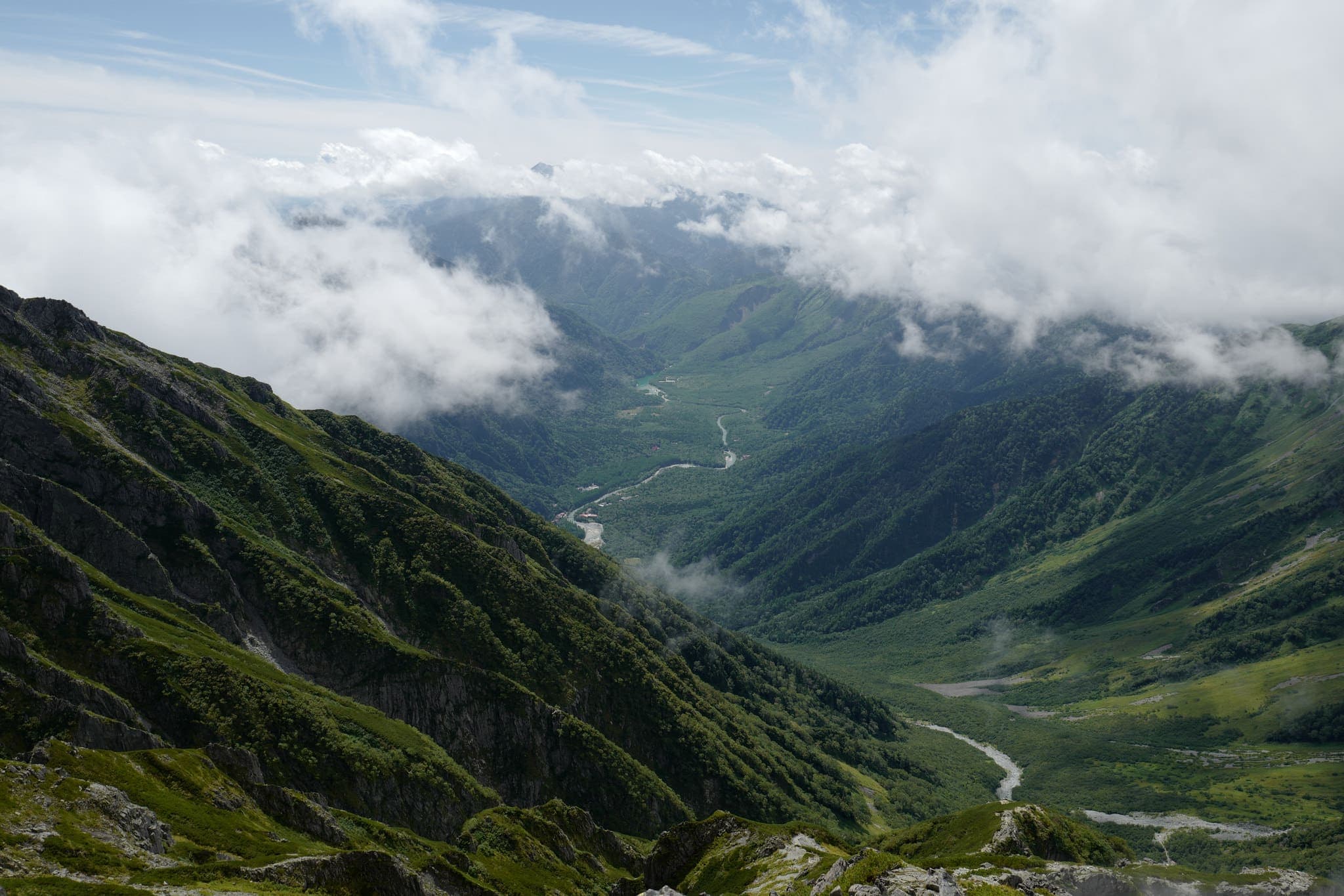
At various points, we were able to see over the ridge-line into the valley on the other side. It’s hard to find words to describe the majesty of these vistas since their scale is so overwhelming.
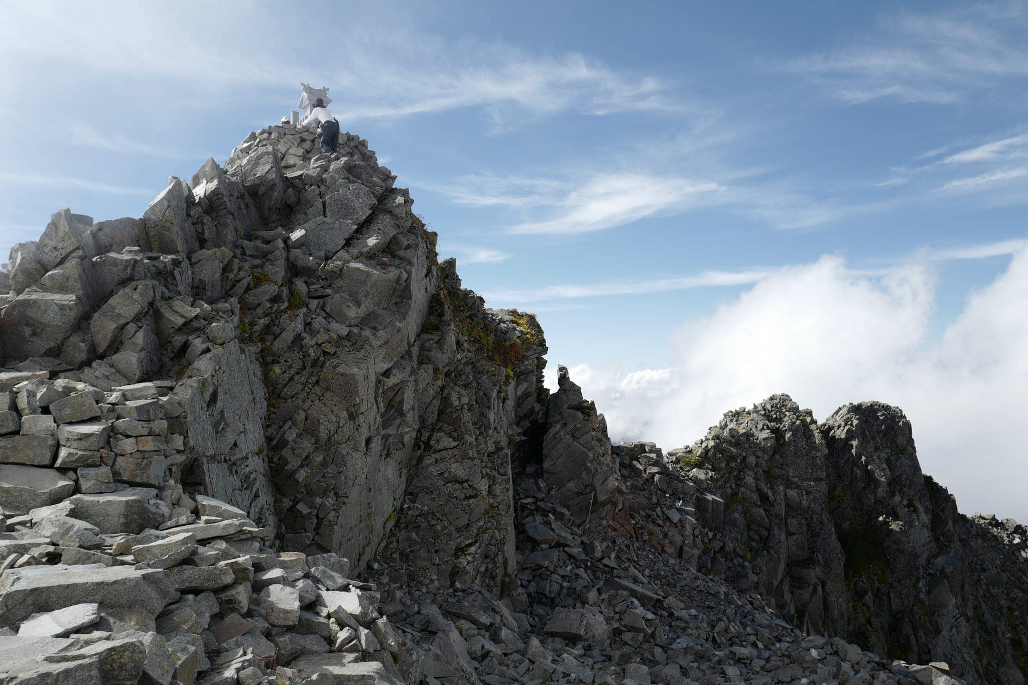
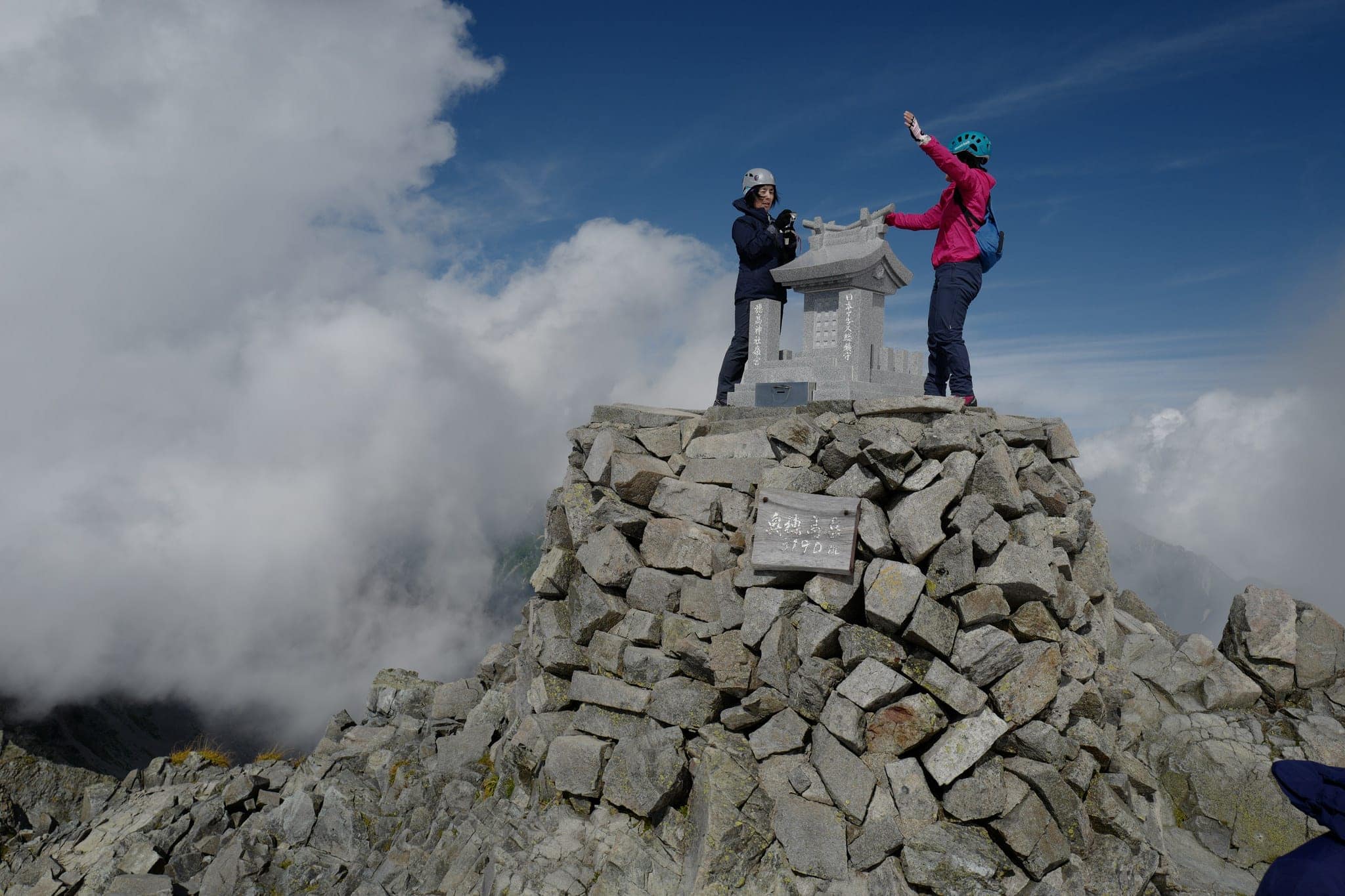
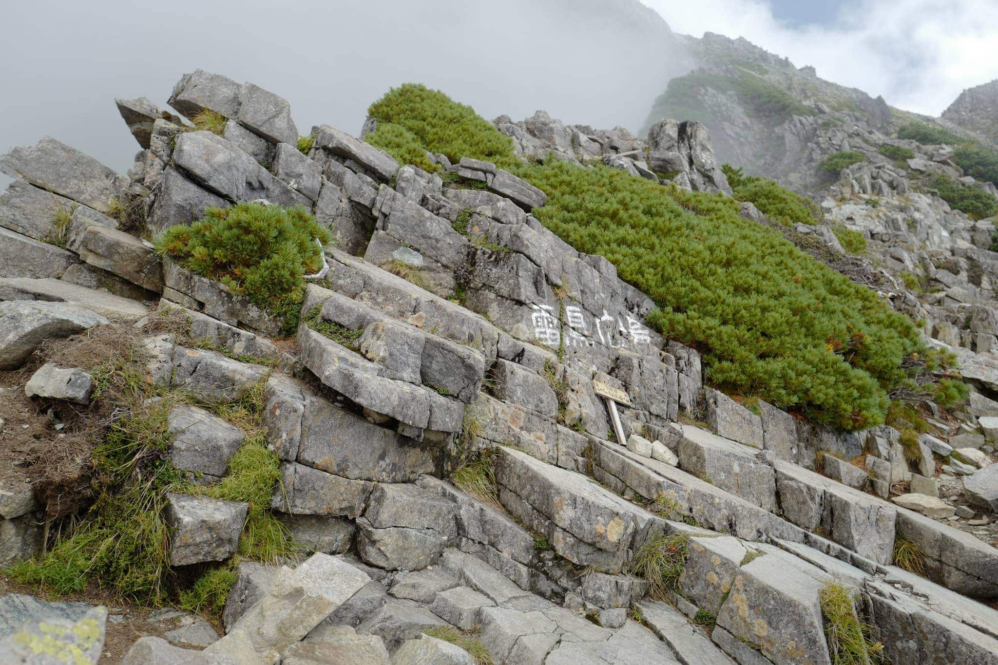
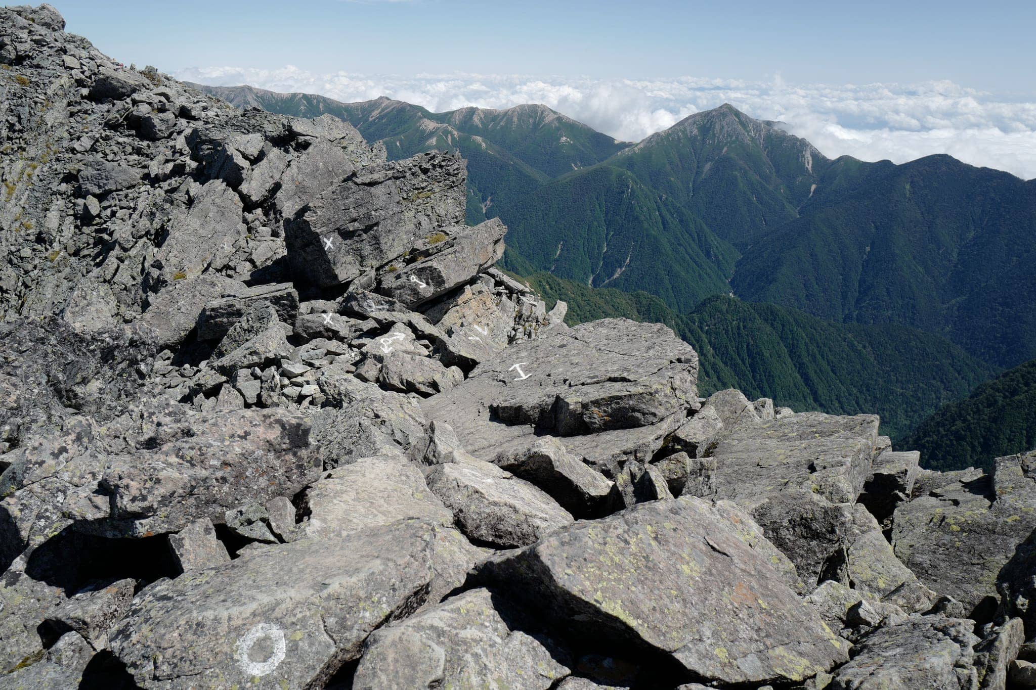
On top of the peak at 3190m is a small shrine from where you get spectacular 360° views (and obligatory selfies).
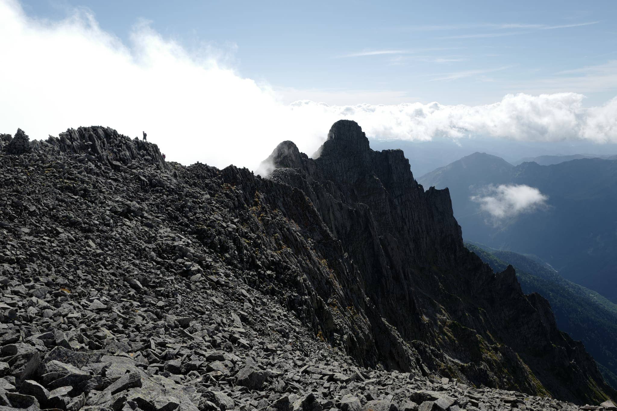
Looking southwest, we could see the foreboding silhouette of the route from Tengu no koru (天狗のコル) that we decided against taking last year. From the looks of it, that was a good call!
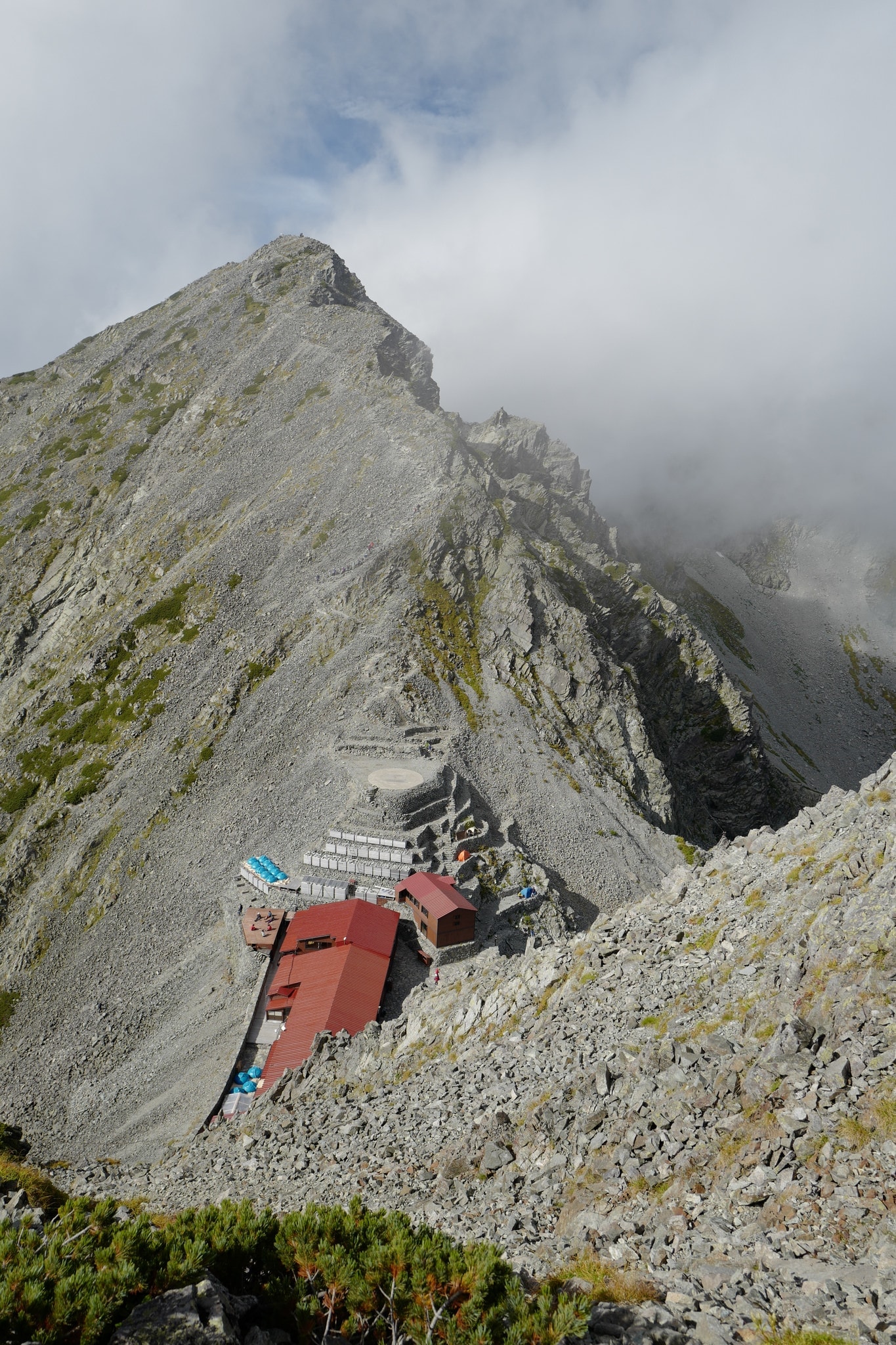
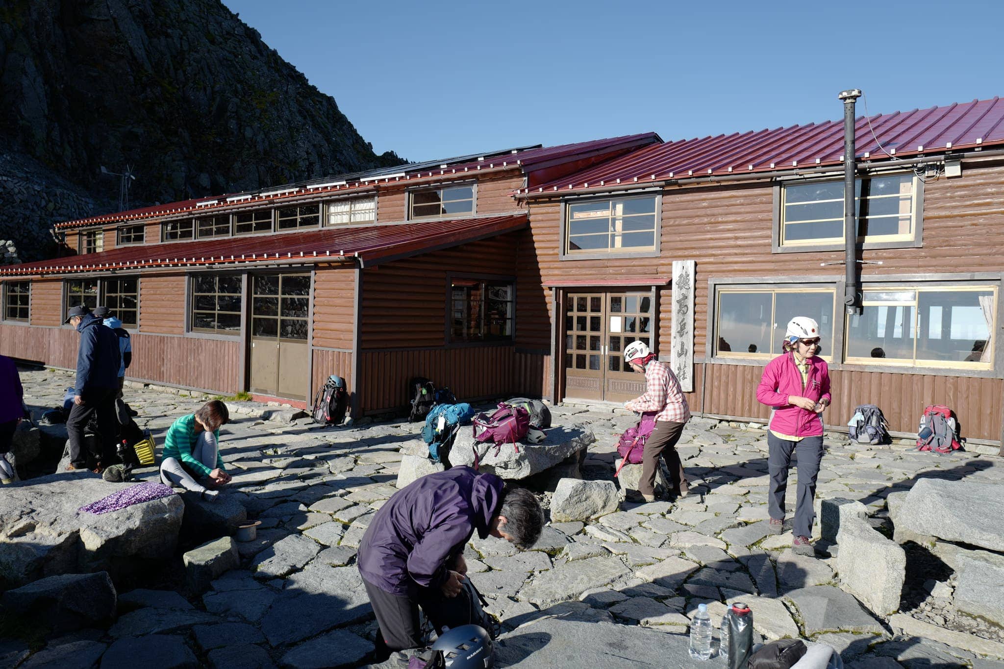
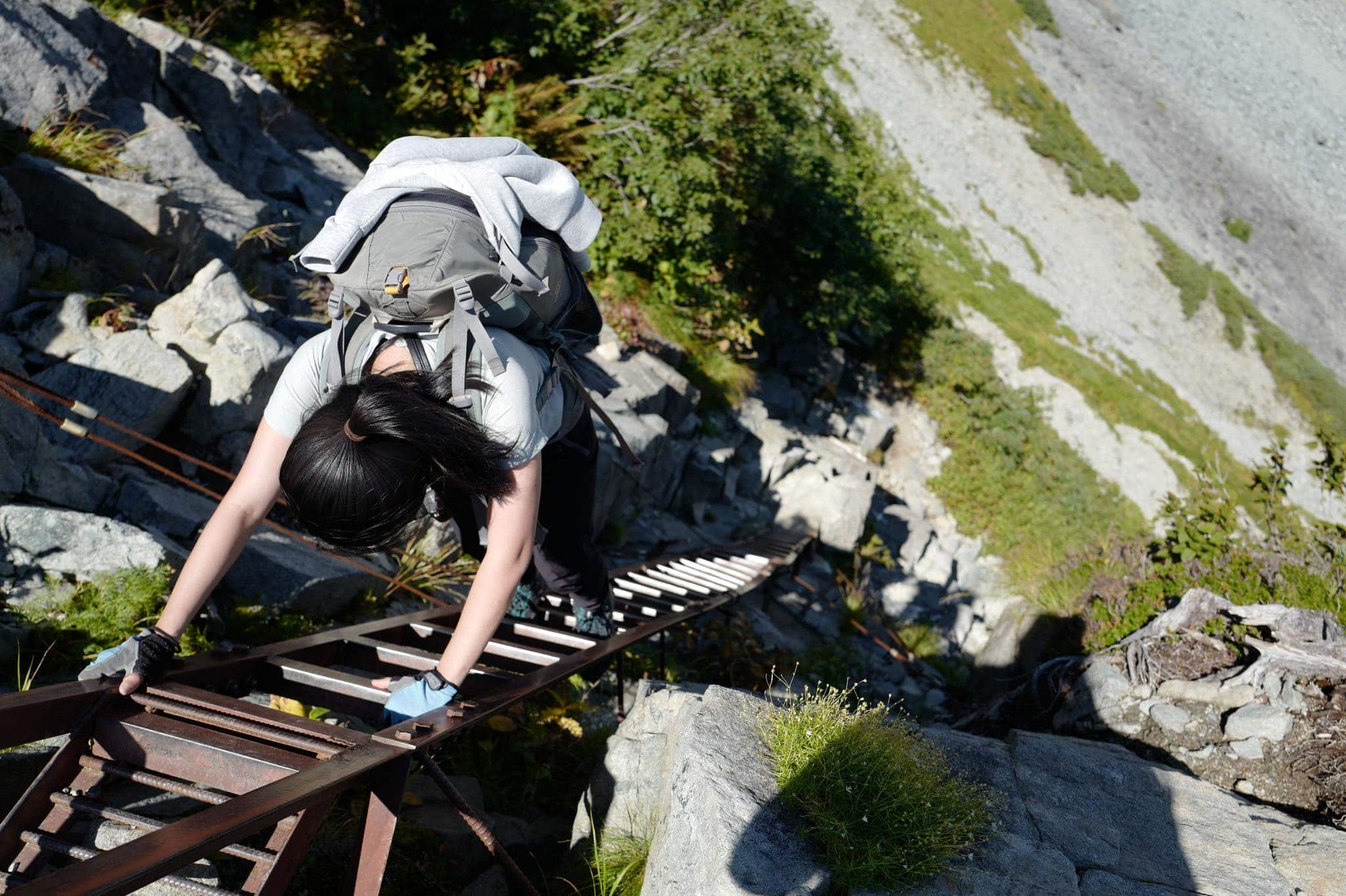
It’s a short 30 min hike steeply downhill from the peak to Hotakadake Sanso Hut (穂高岳山荘) which lies in a dip between two peaks at 2983m. The last part of the climb is almost vertical, requiring the use of ladders and chains to make it down safely.
Some groups had roped themselves together for the decent which looked particularly dangerous. If one falls presumably there’s a high chance of pulling the rest down with them?
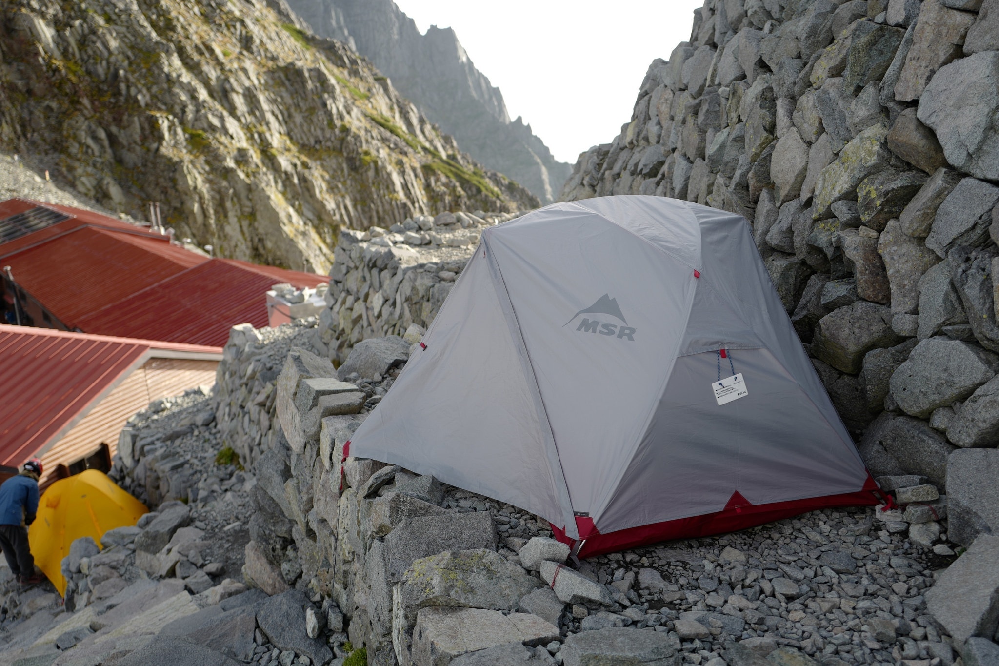
Hotakadake Sanso is a particularly well-equipped hut with great facilities for campers and those staying in the hut alike. We had arrived earlier than expected at 3 pm and were relieved to have a bit of time to relax while setting up our tent before dinner at 5.30 pm (no booking necessary).
After dinner we watched the sun retire in a flurry of reds and oranges that were painted across the clouds in breathtaking beauty. With temperatures rapidly dropping, we retired to our tent on a ledge a little way below the helipad.
Day 2 (3.3km)
Hotakadake Sanso → Karasawa
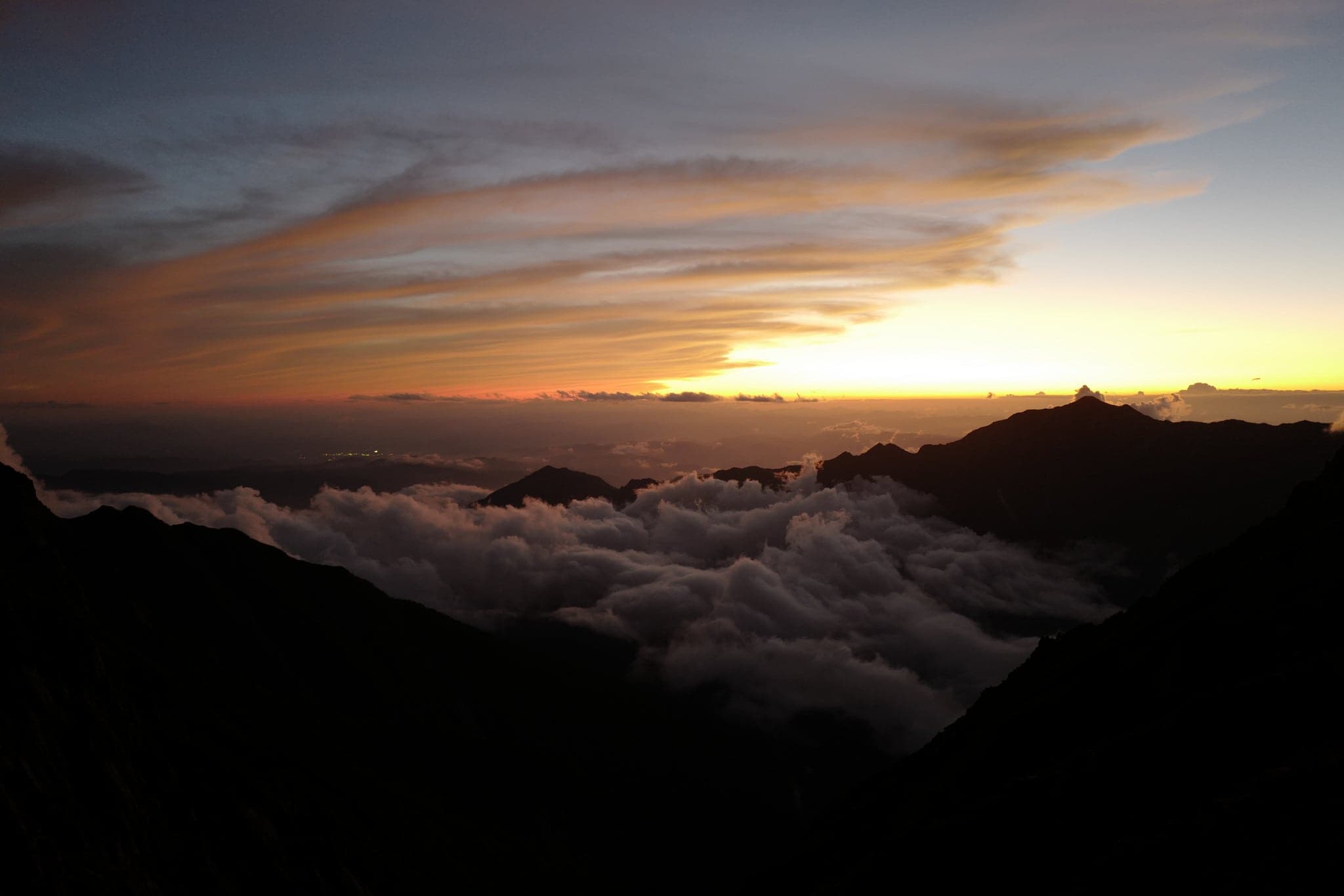
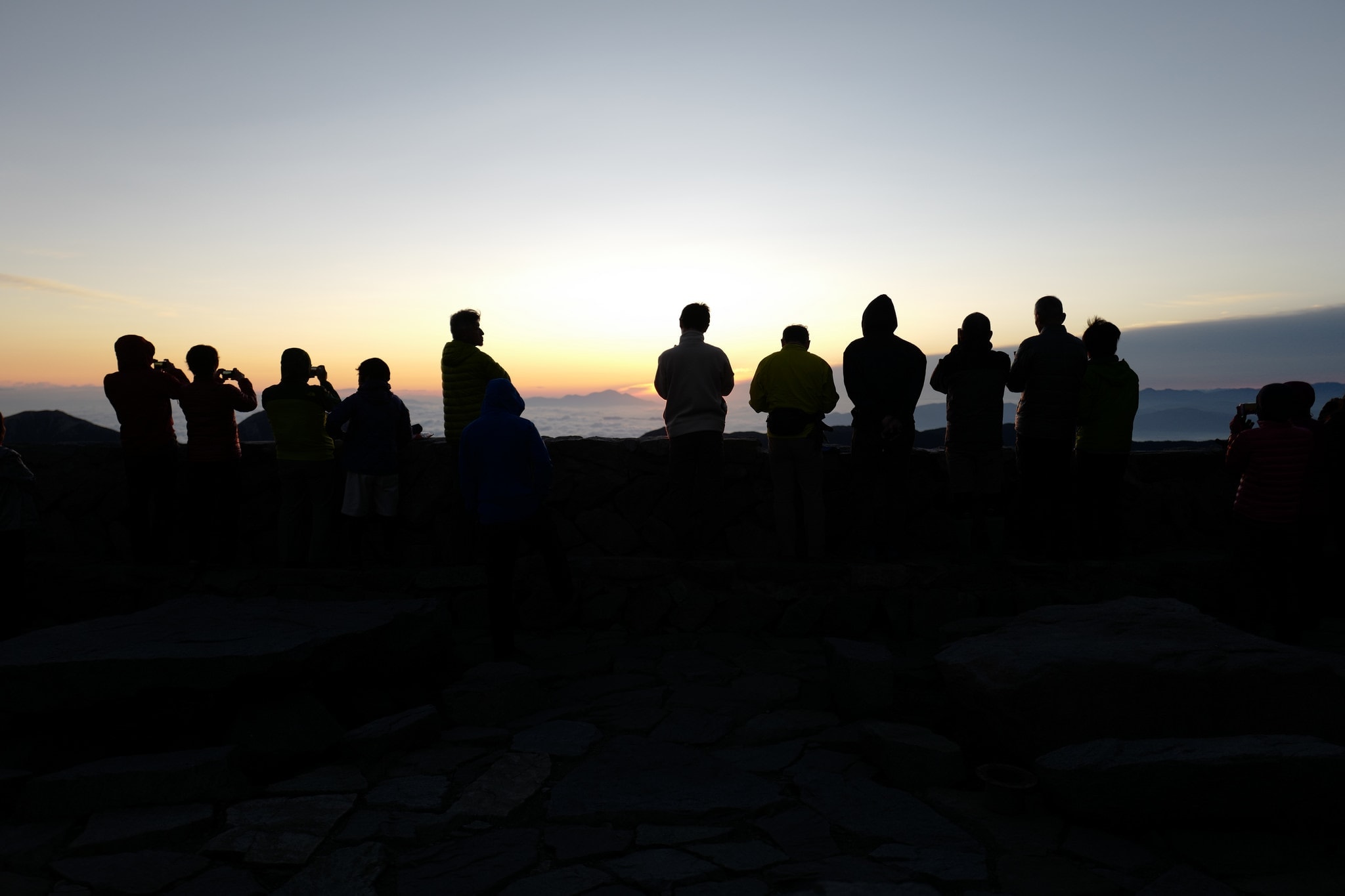
We rose at 5.30 am and watched the sun return while eating breakfast and enjoying a hot cup of tea. Perhaps due to the altitude or my fears about the hike ahead, I had a bad headache overnight and hadn’t gotten much sleep.
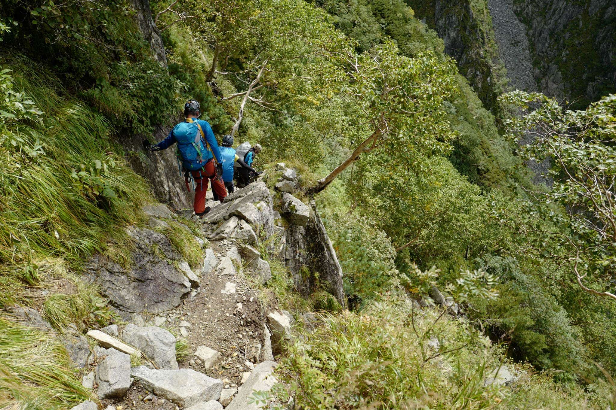
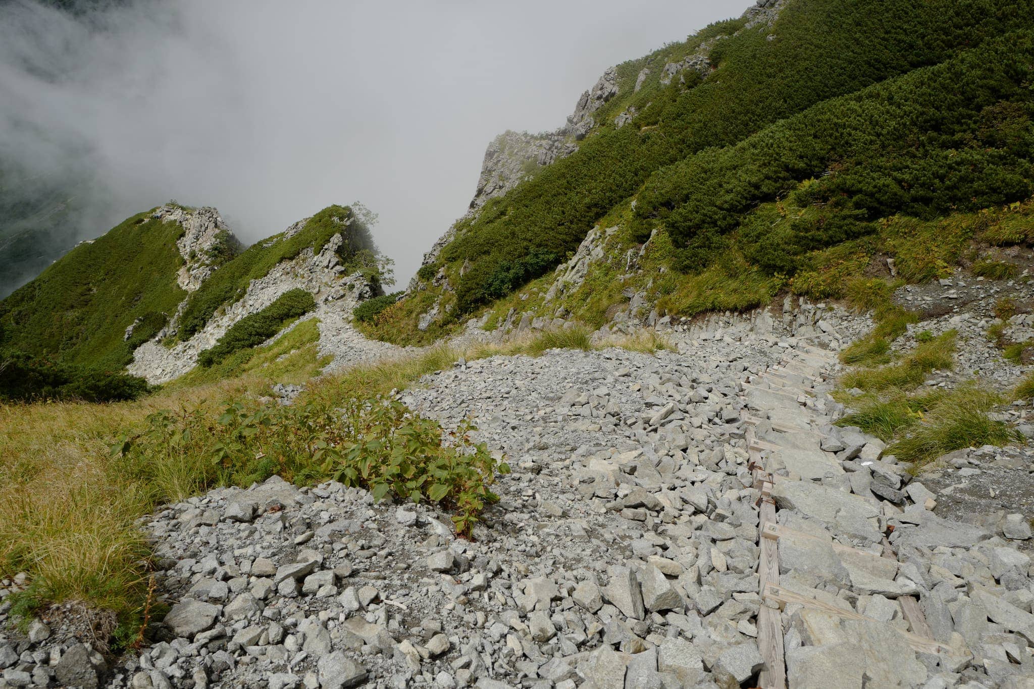
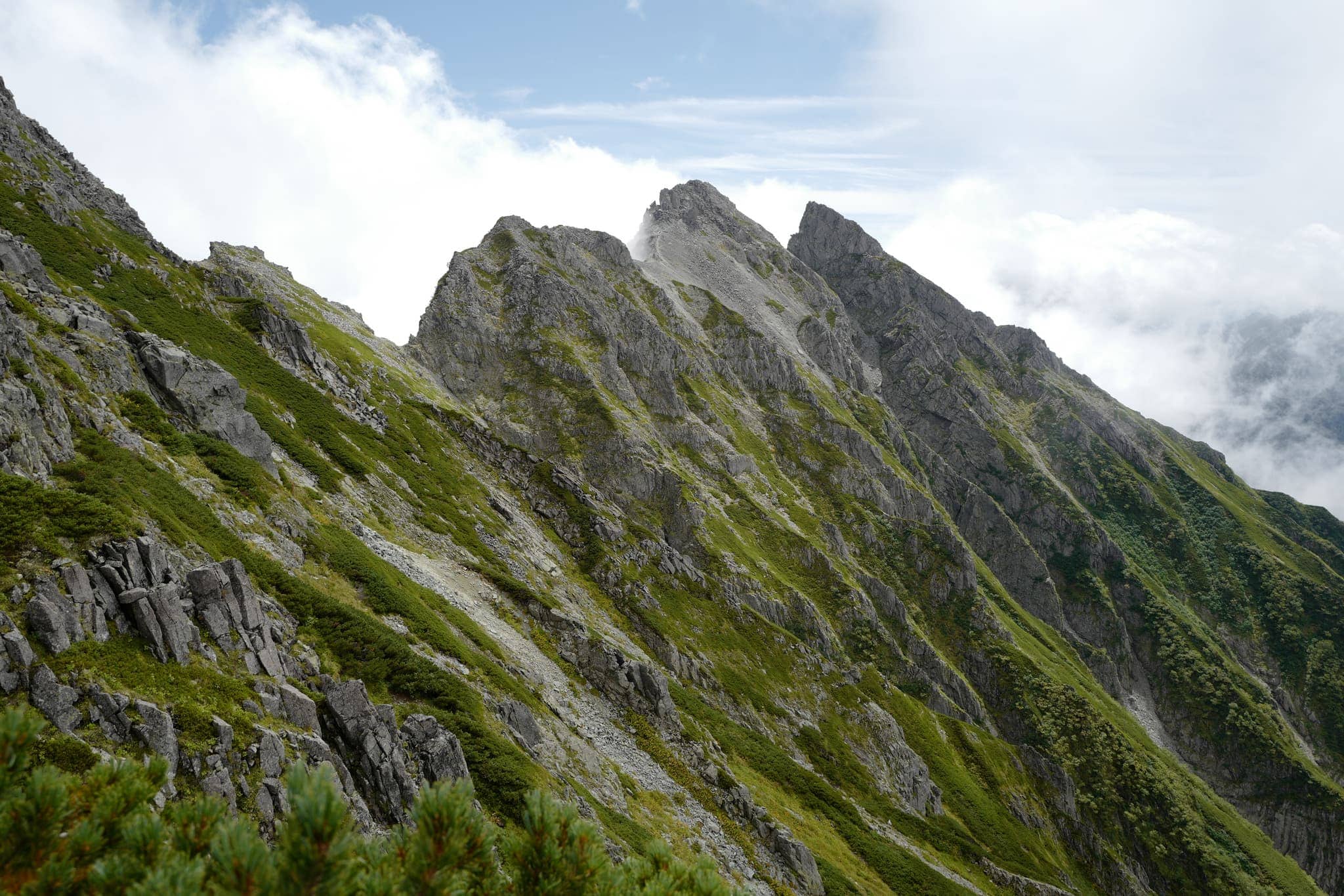
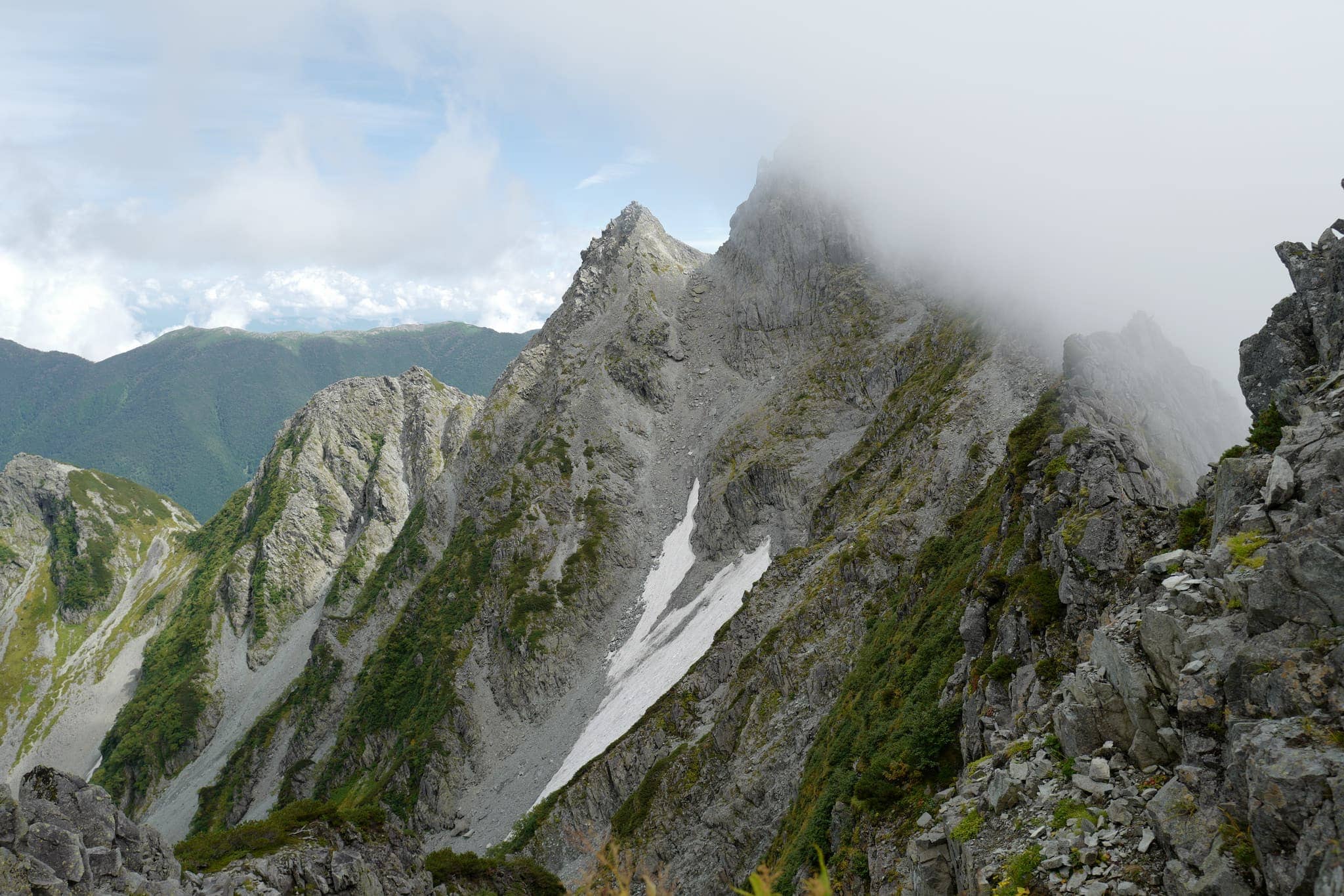
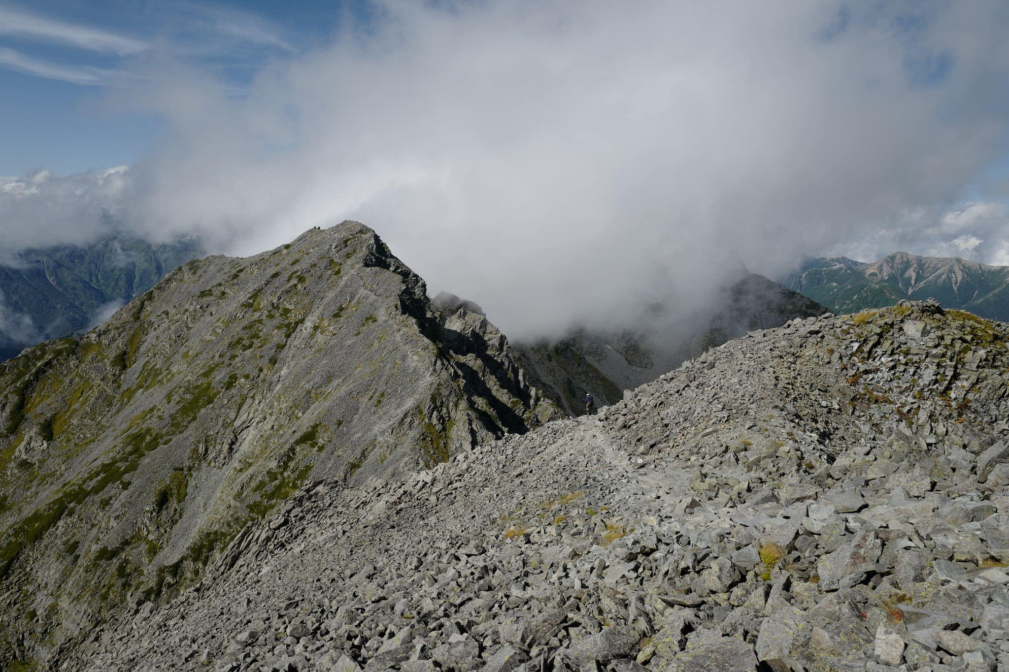
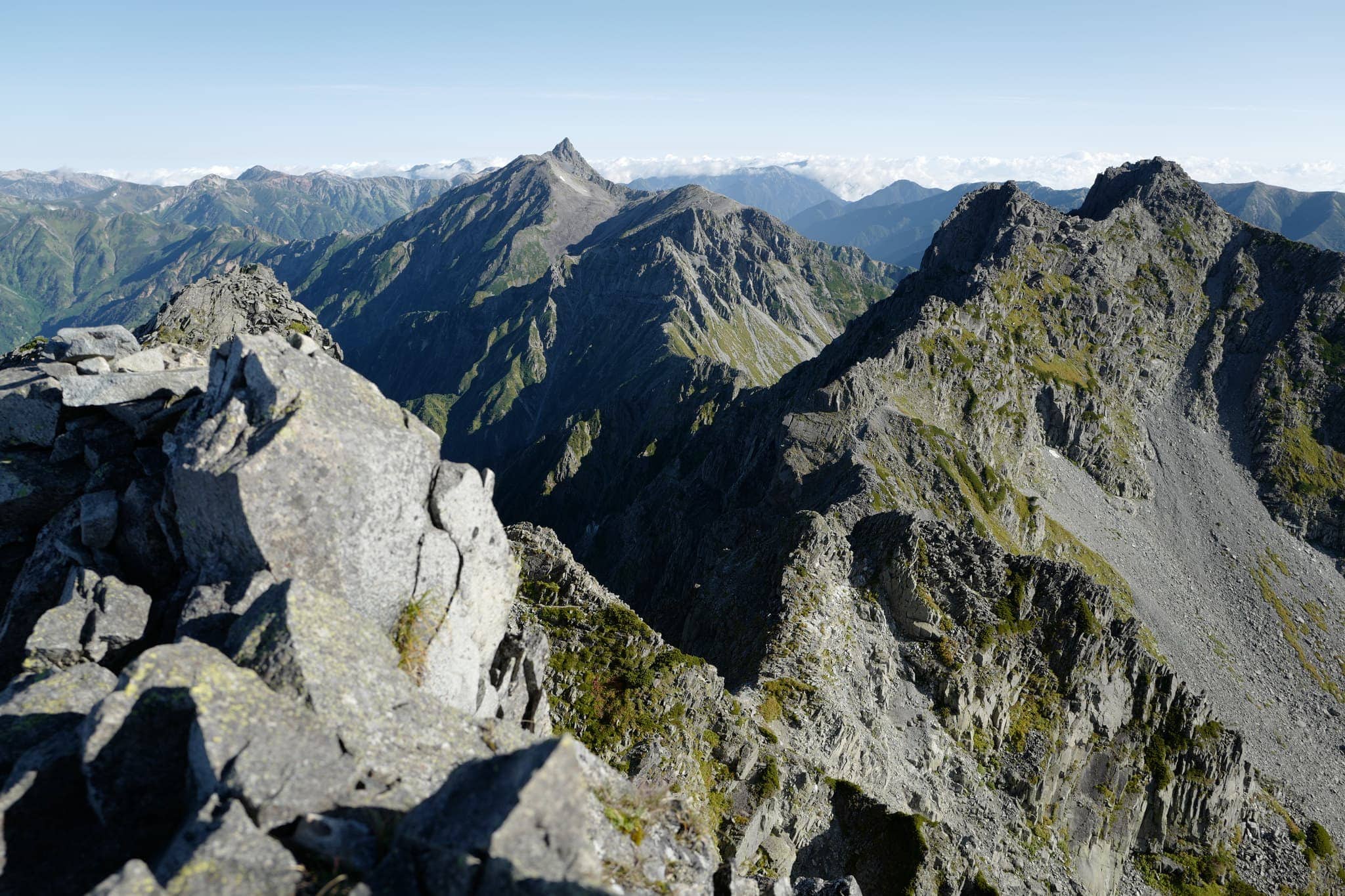
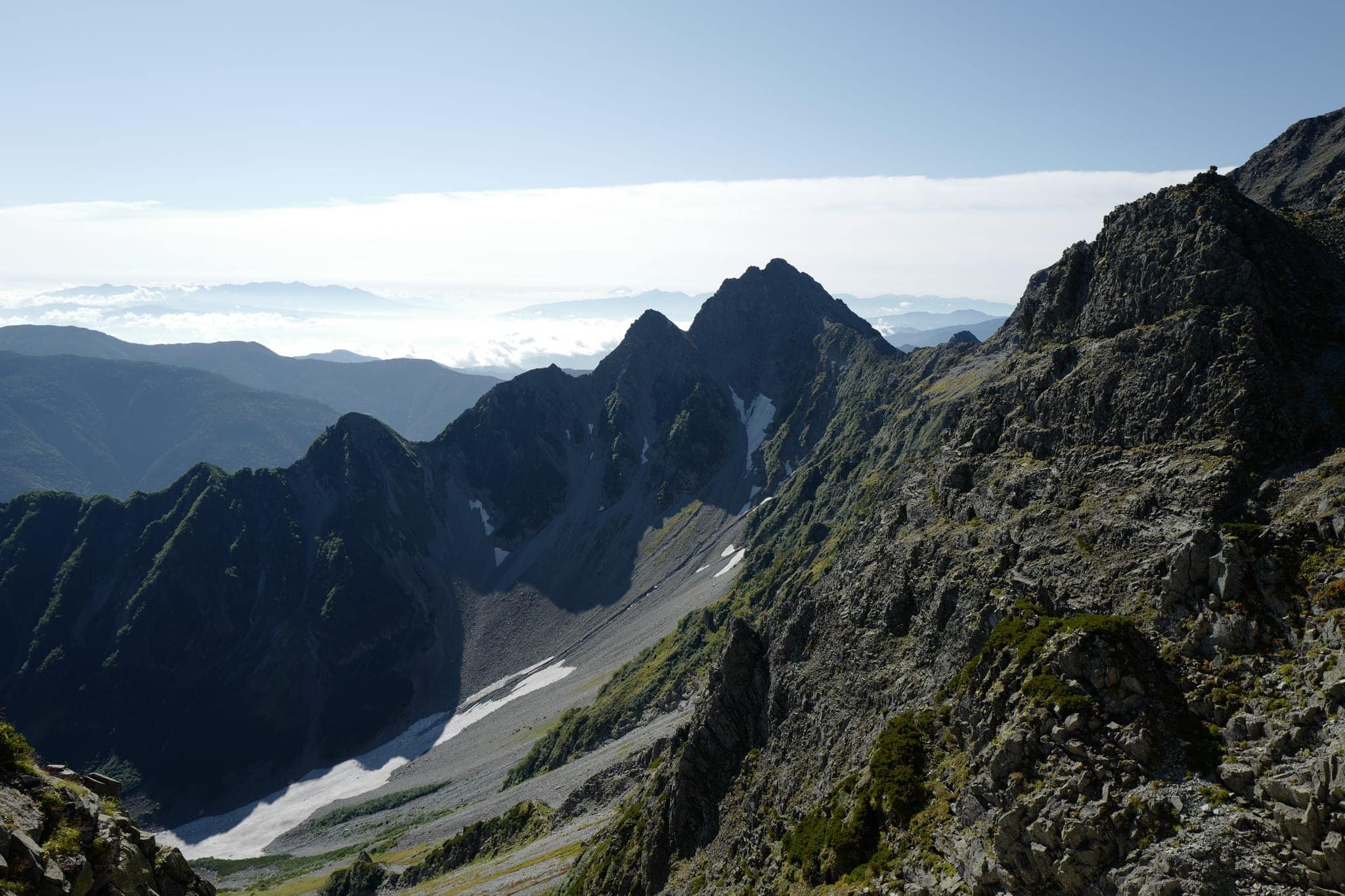
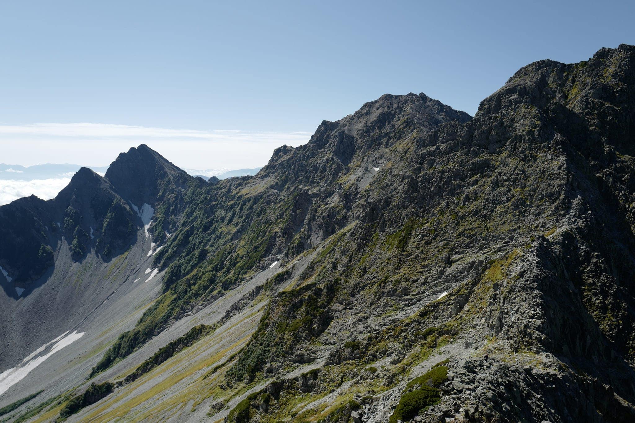
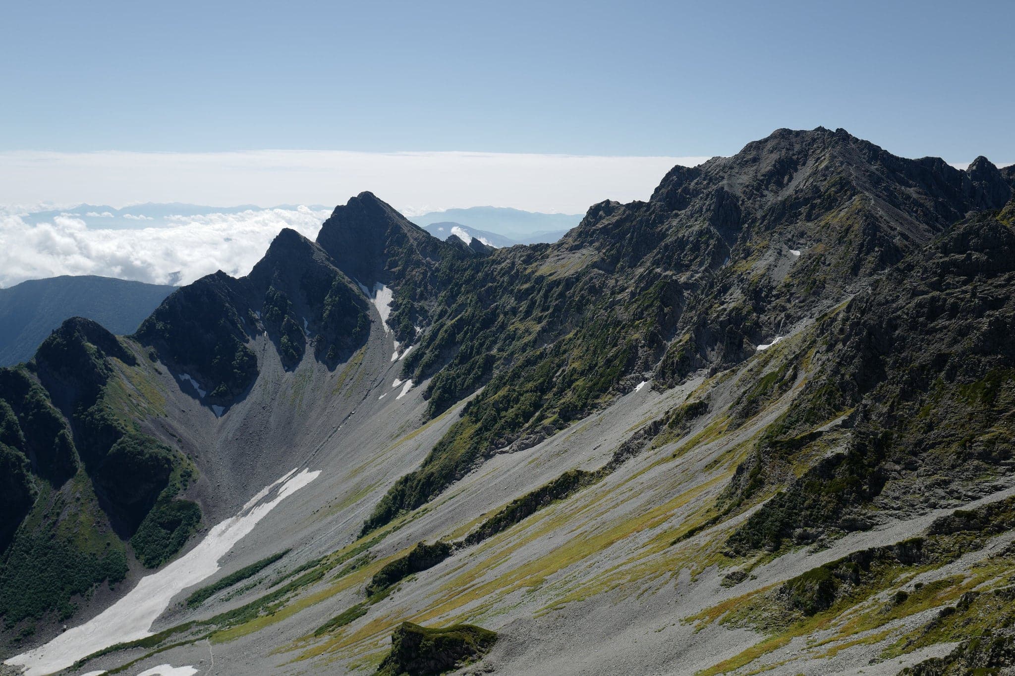
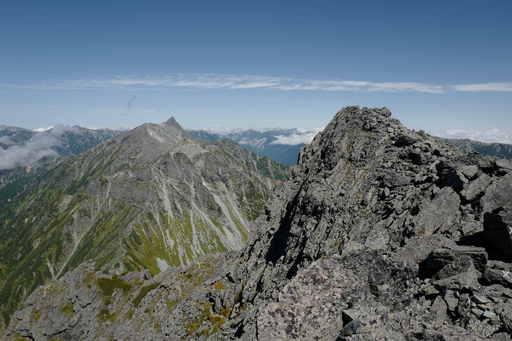
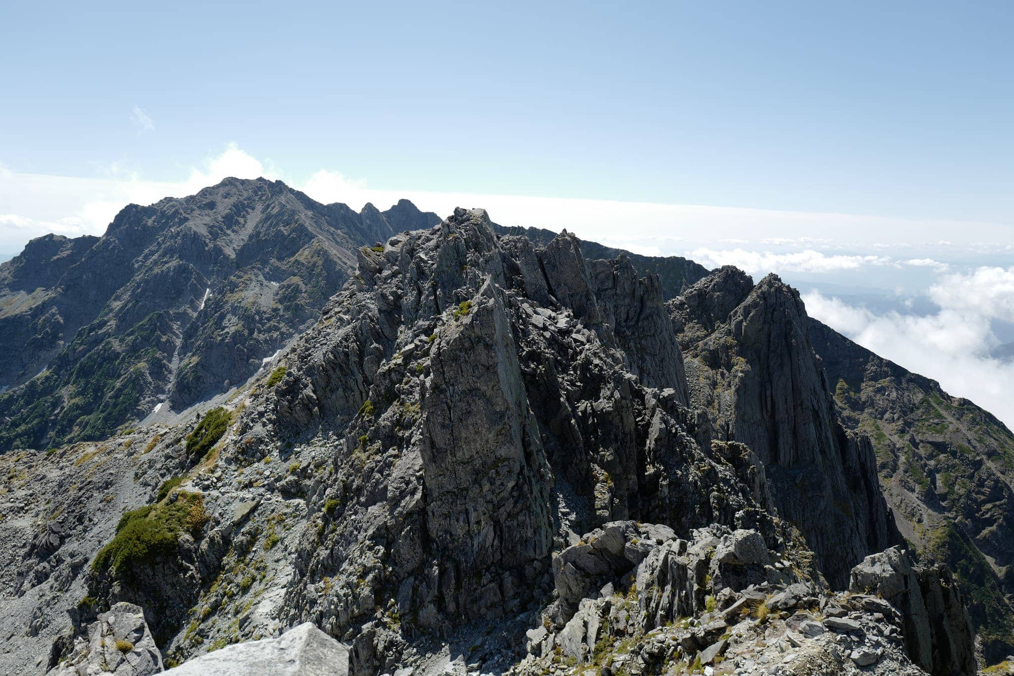
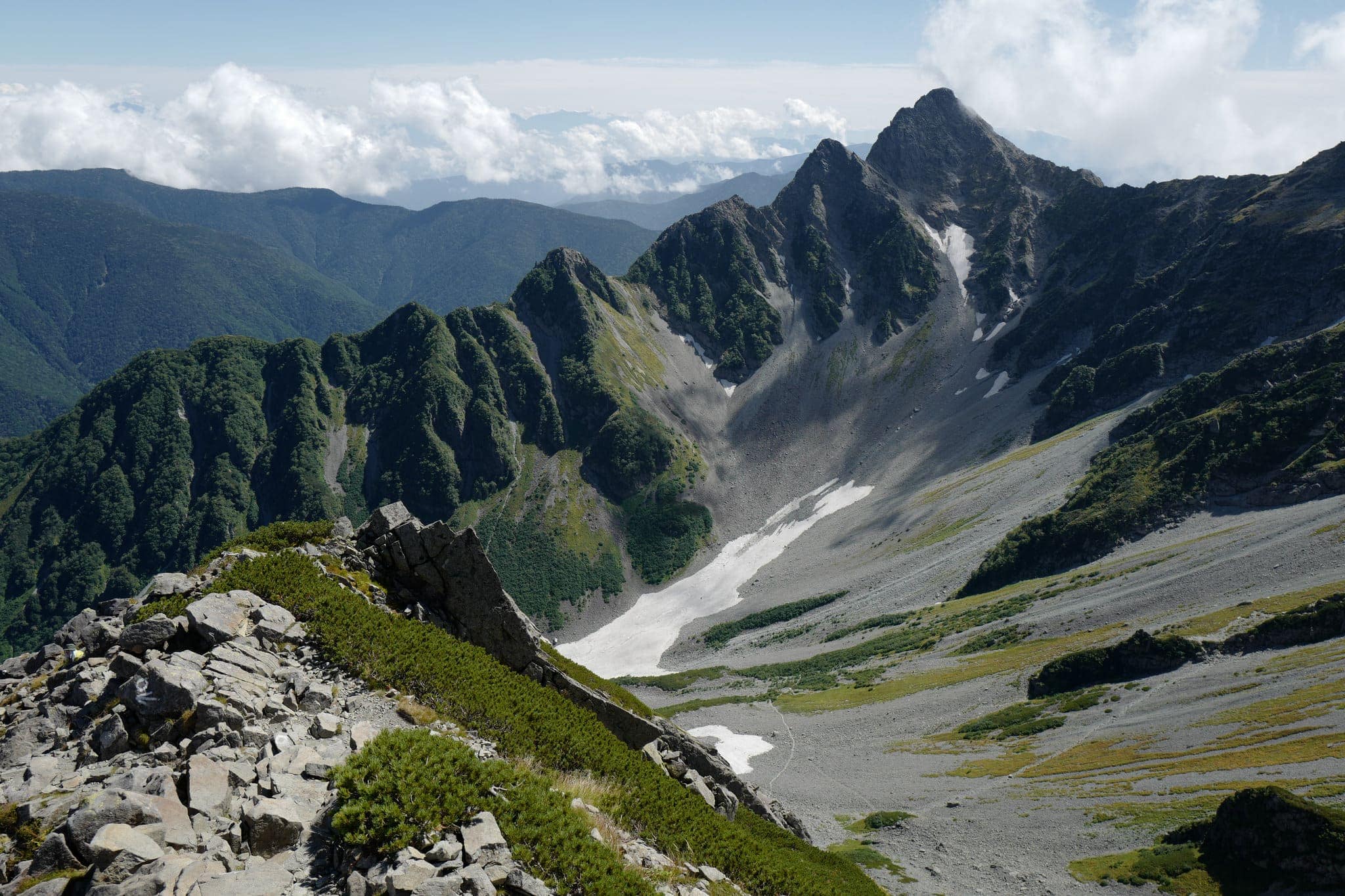
After packing up, we left at 7.30 am and followed the trail uphill for 20 minutes before reaching the peak of Karasawadake (涸沢岳) at 3110m. We were afforded a transfixing view of the ragged knife edge we would be traversing with the peak of Mount Yari lingering malevolently in the background.
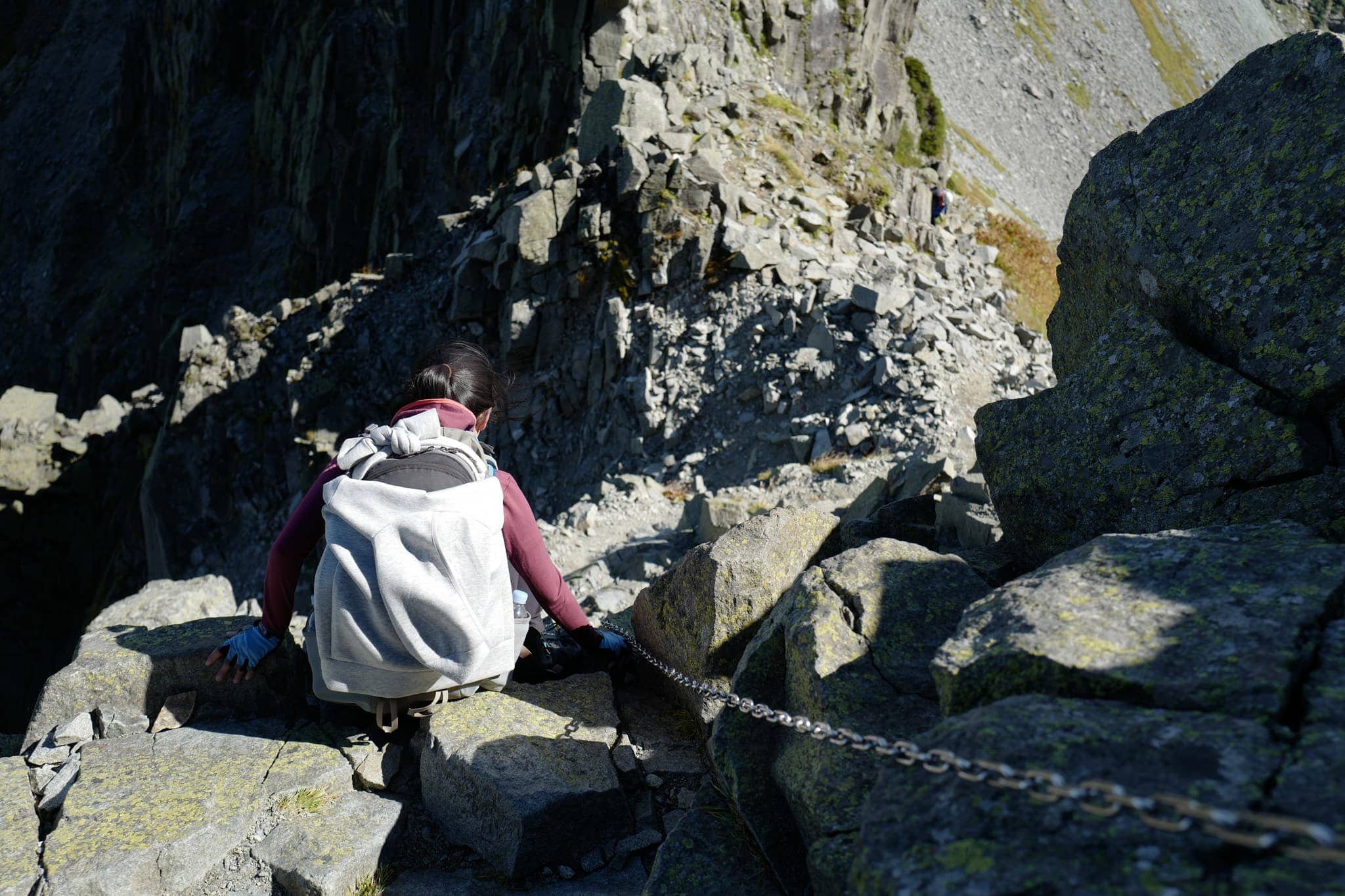
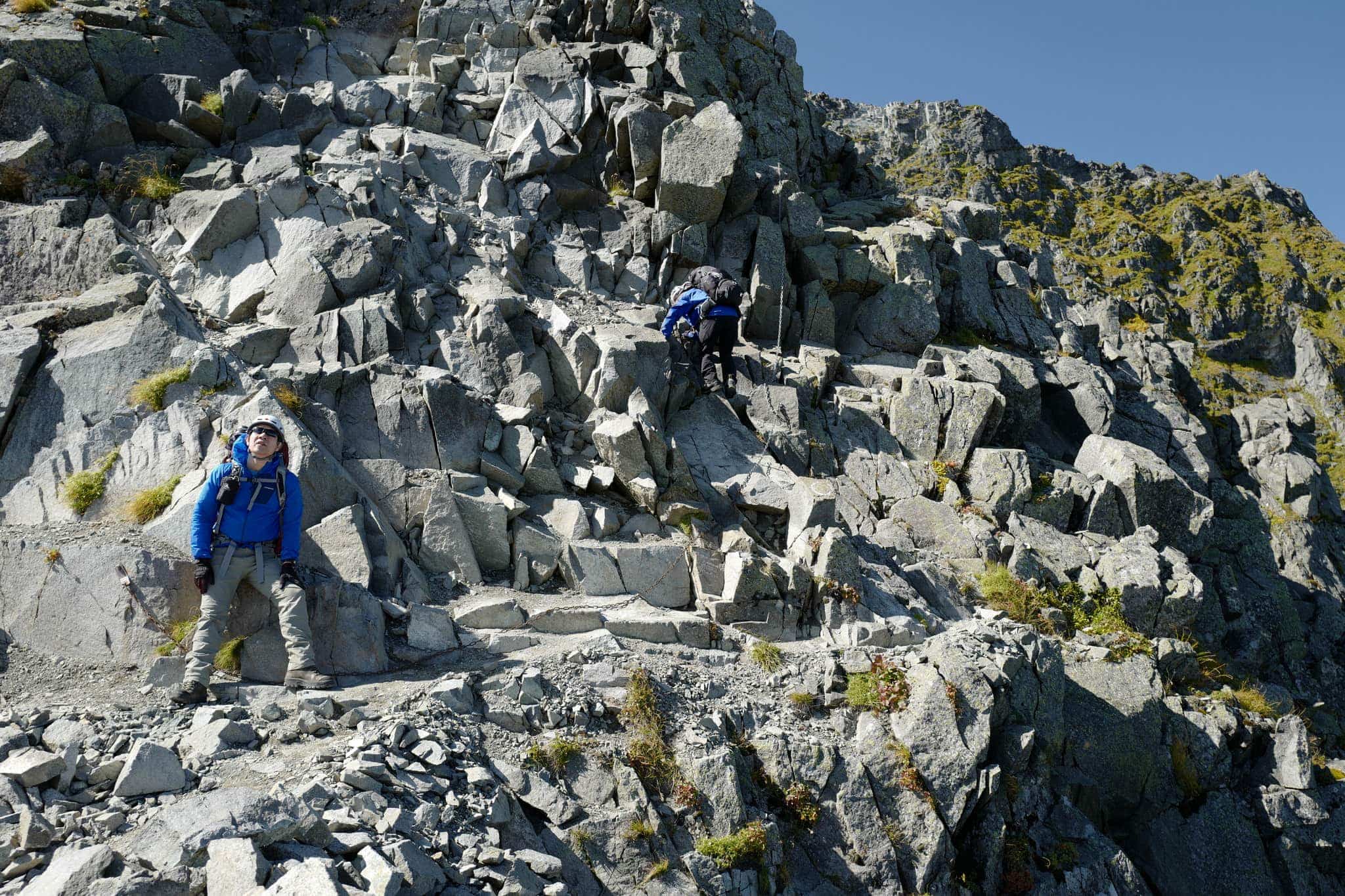
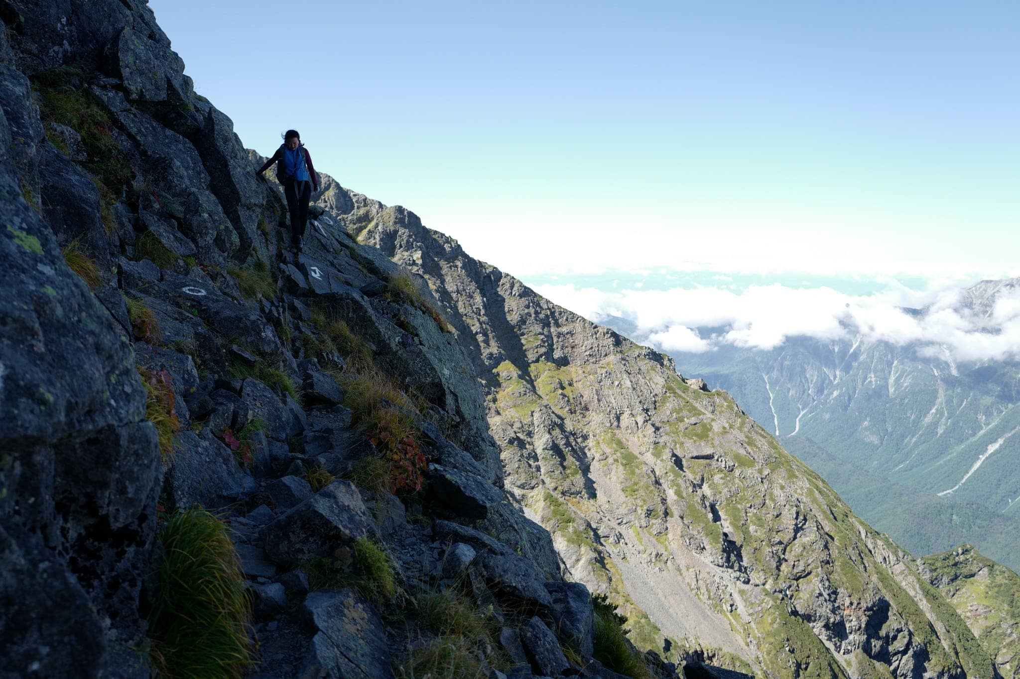
From here the trail became a steep downhill climb with every step requiring the utmost attention. For the harder parts, there are ladders, chains and bolts in the rock to help, but you’re often left dangling over unfathomable drops without any protection.
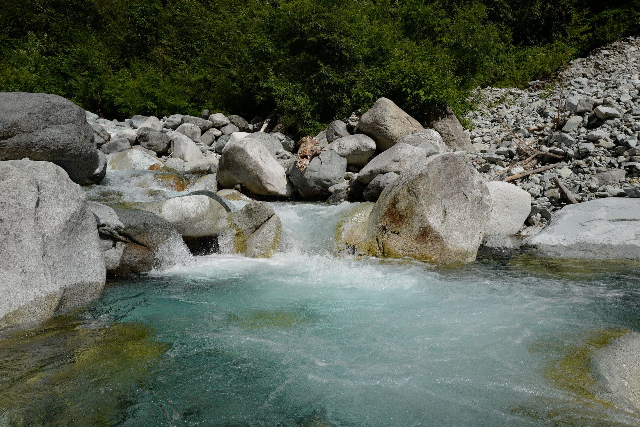
Reaching the next dip we passed a thick patch of ice which had survived the heat of summer due to its position in a normally shady spot. On a recent trip, a friend slipped on some ice and fell 100m (thankfully without serious injury) so I was glad we didn’t need to walk across it.
At one particularly tricky overhang, I watched helplessly as a water bottle fell out of Chen’s pack and split in two before tumbling down the hill. I felt we might have bitten off more than we could chew (for the second year in a row) and was getting increasingly worried.
By now we’d already been walking for almost 2 hours and our progress was painfully slow. We’d passed a few small groups of hikers heading in the opposite direction but it wasn’t busy.
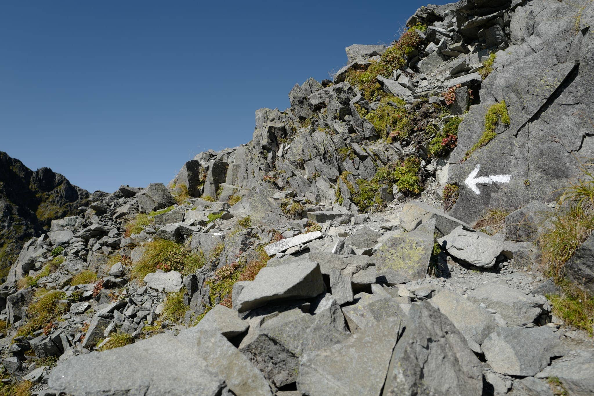
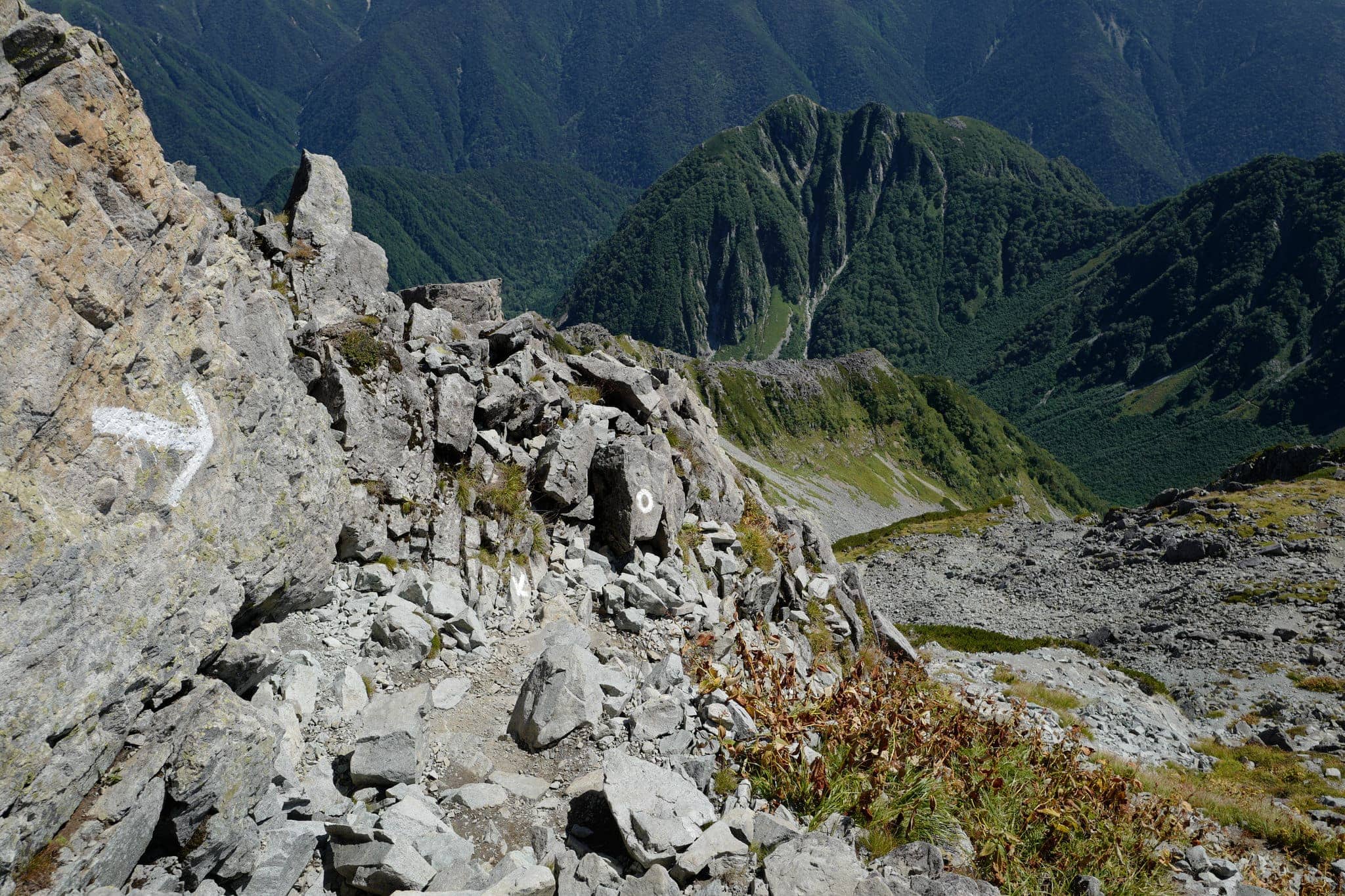
The trail began to ascend again, which is usually preferable to going downhill since it’s easier to see where you’re heading, and we kept a close eye out for the white markers to avoid taking a tumble into the abyss.
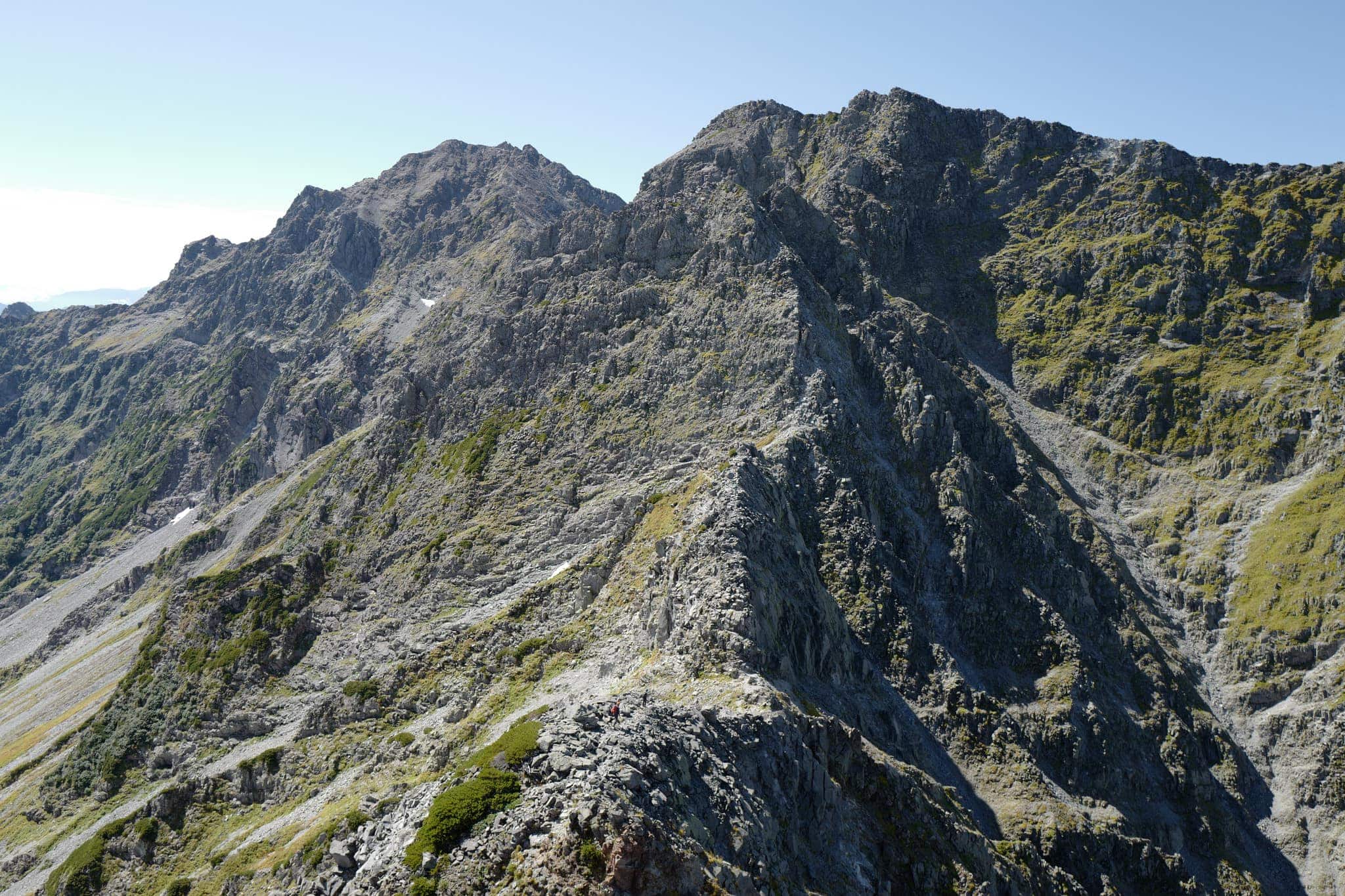
Looking back, the people we’d passed earlier looked like tiny specs against the towering mountains.
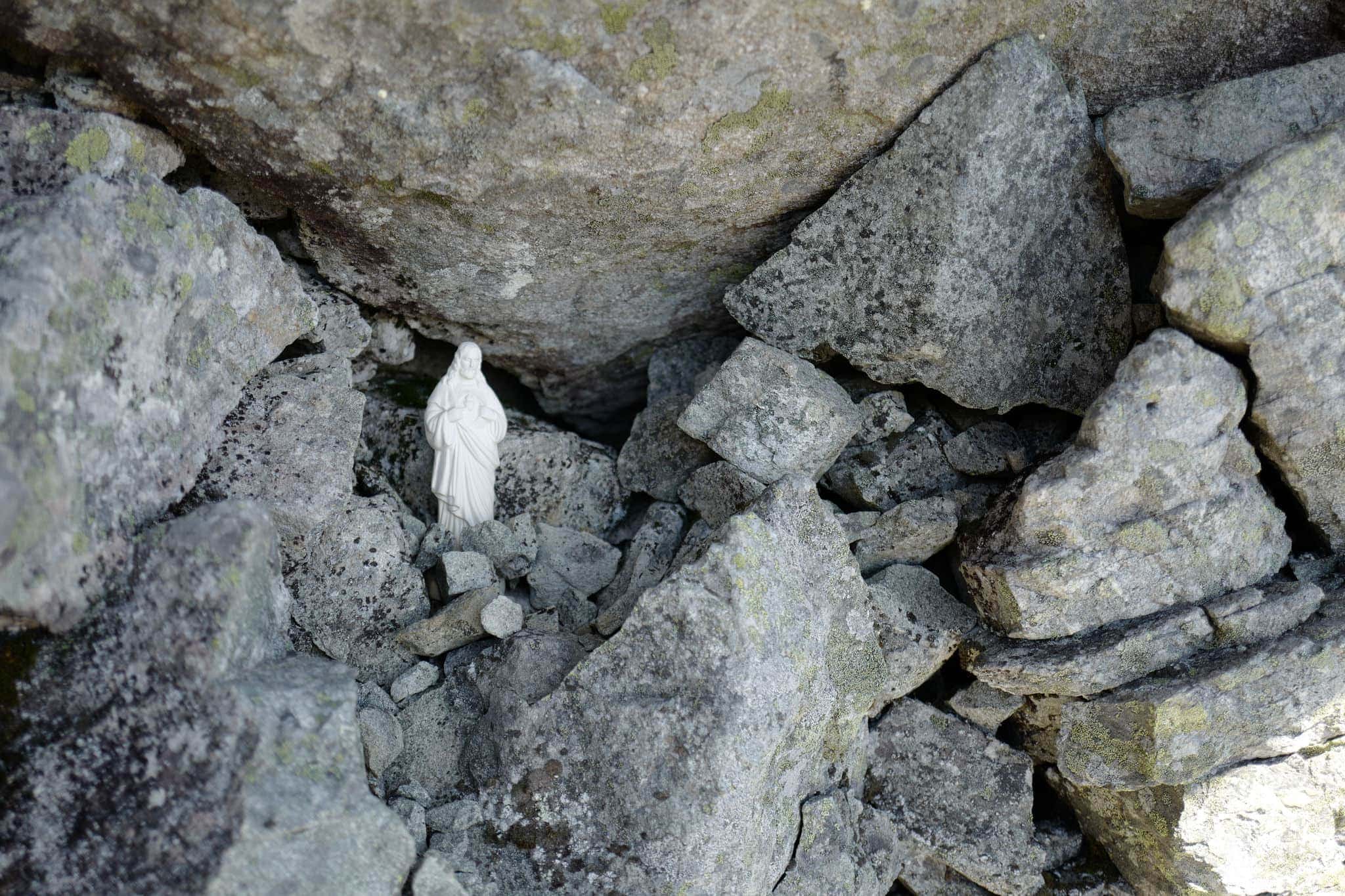
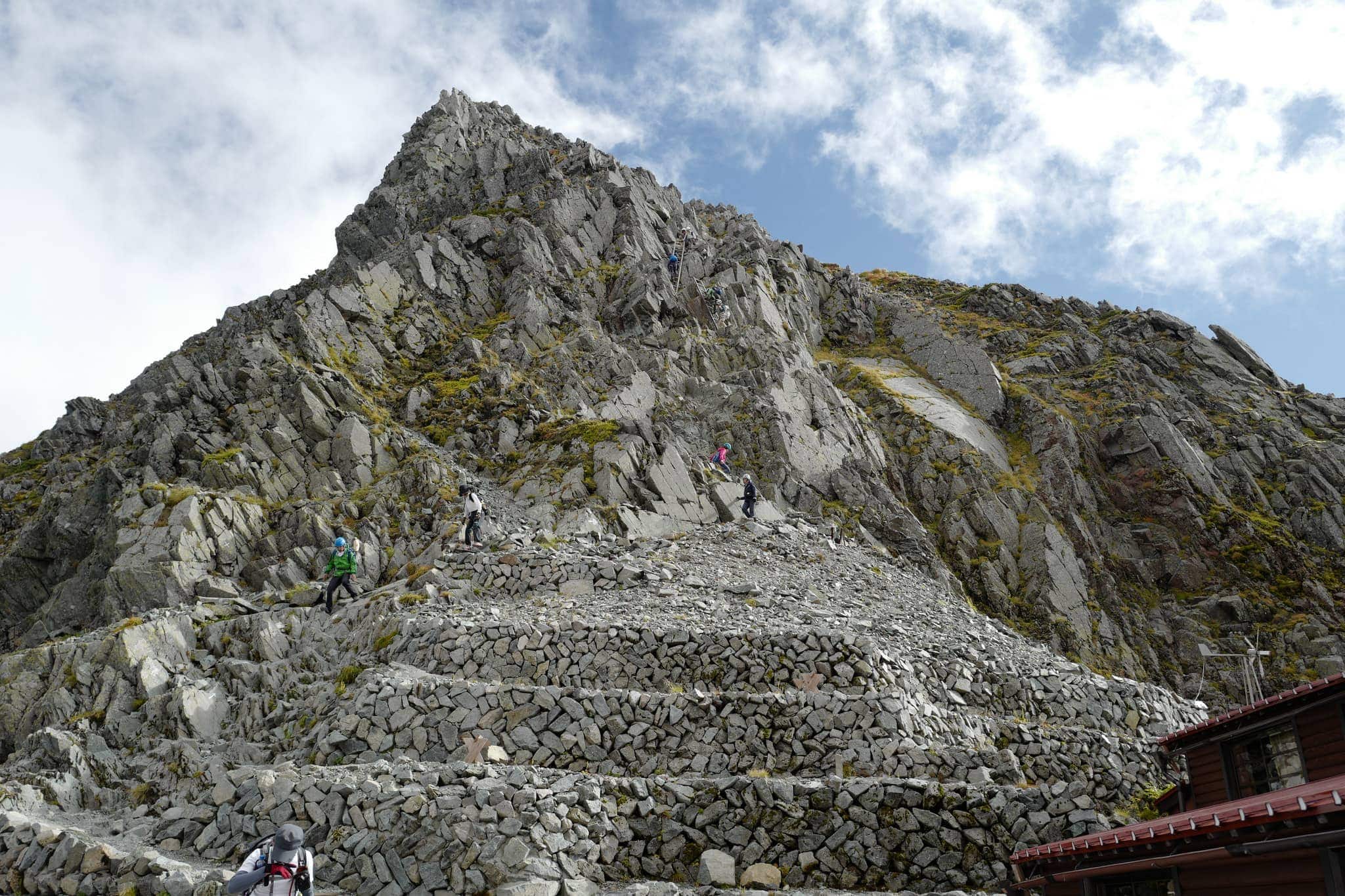
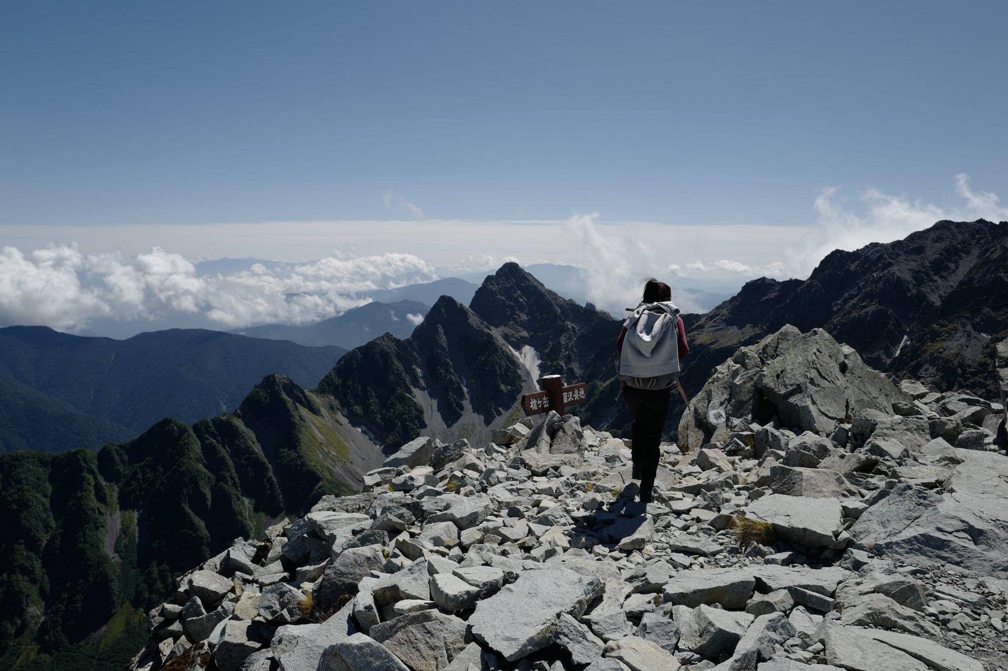
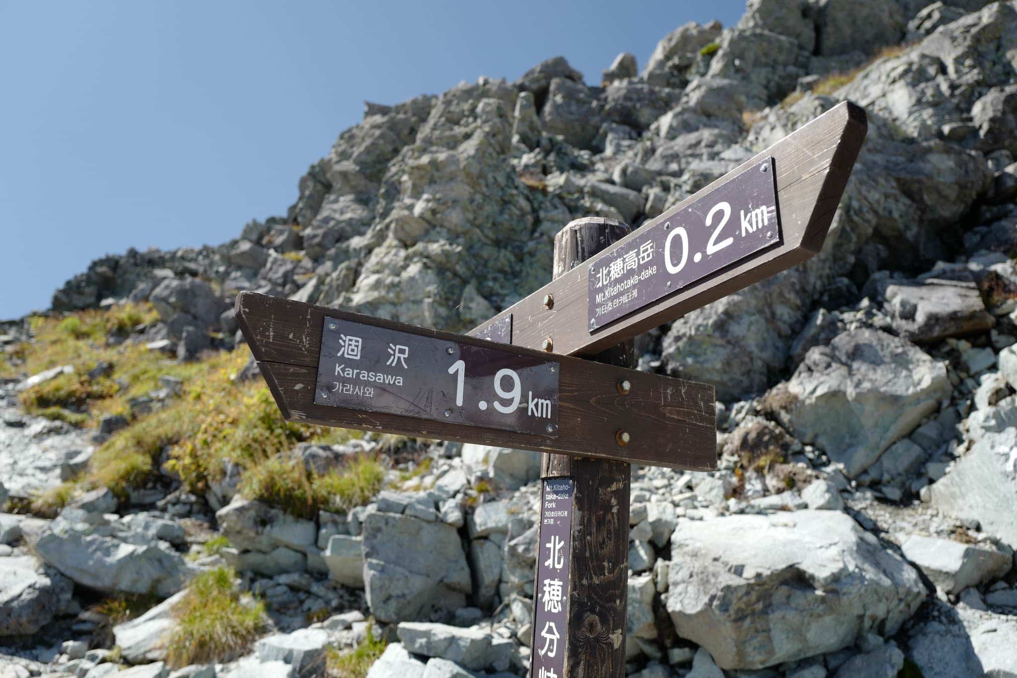
After an hour of precarious uphill scrambling, we reached the rocky peak of Kitahotakadake at 3106m. In an alcove facing to the west, we passed a statue of Jesus someone had placed there. It was nice to know someone had been watching over us!
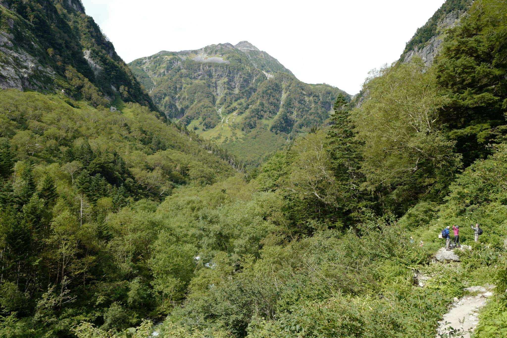
Although it was only 11 am, we were behind schedule and low on energy. Since the route ahead was dotted with “danger” signs on the map, we decided to change plans and head down to Karasawa Camp Site in the valley below instead.
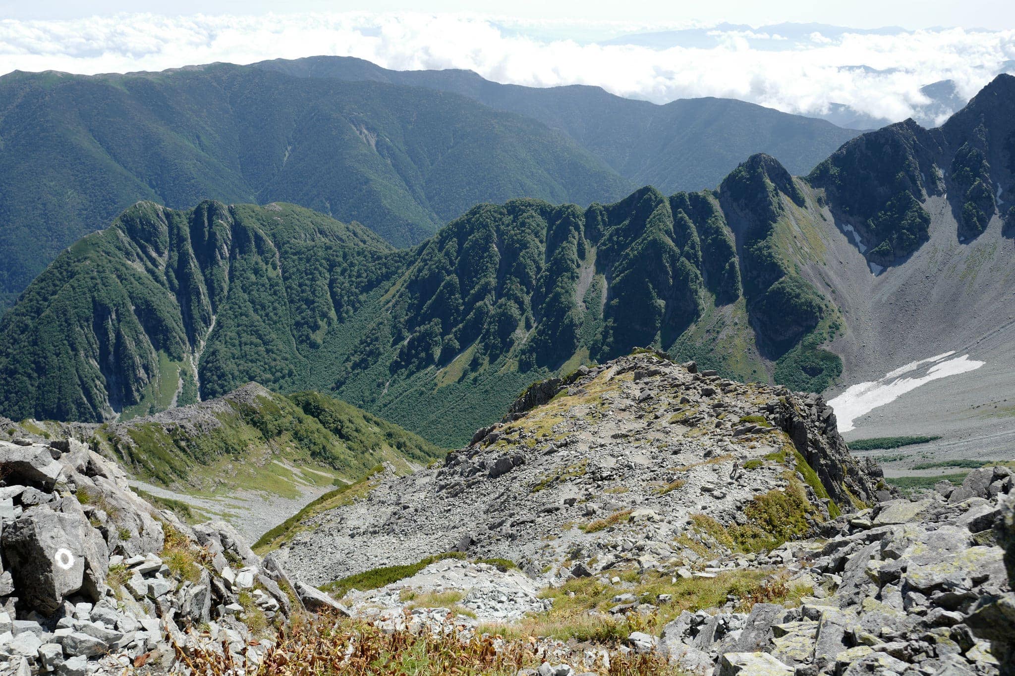
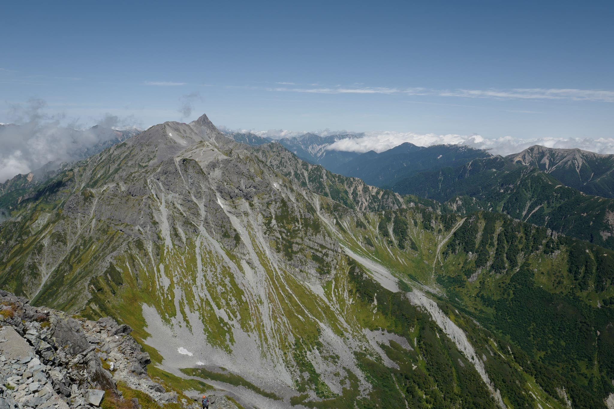
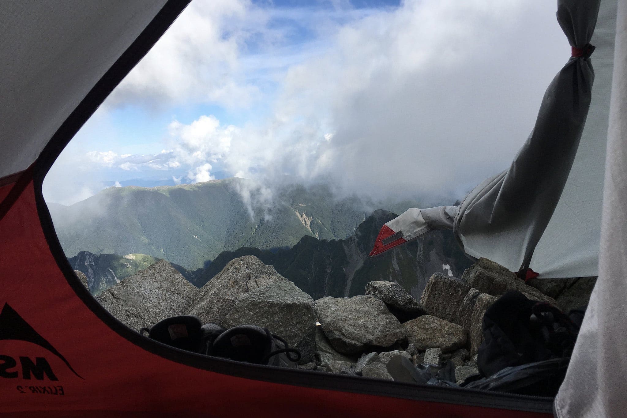
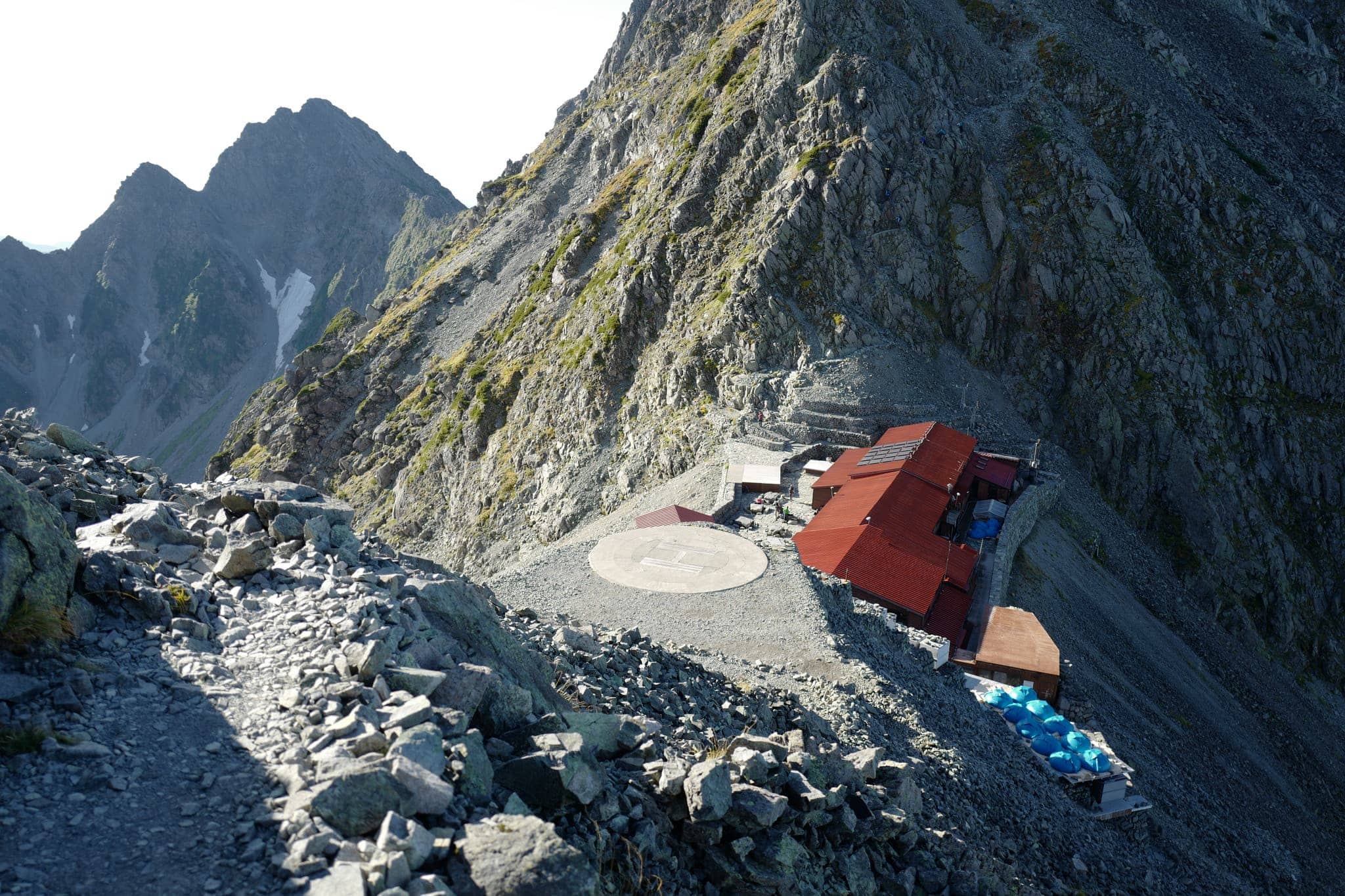
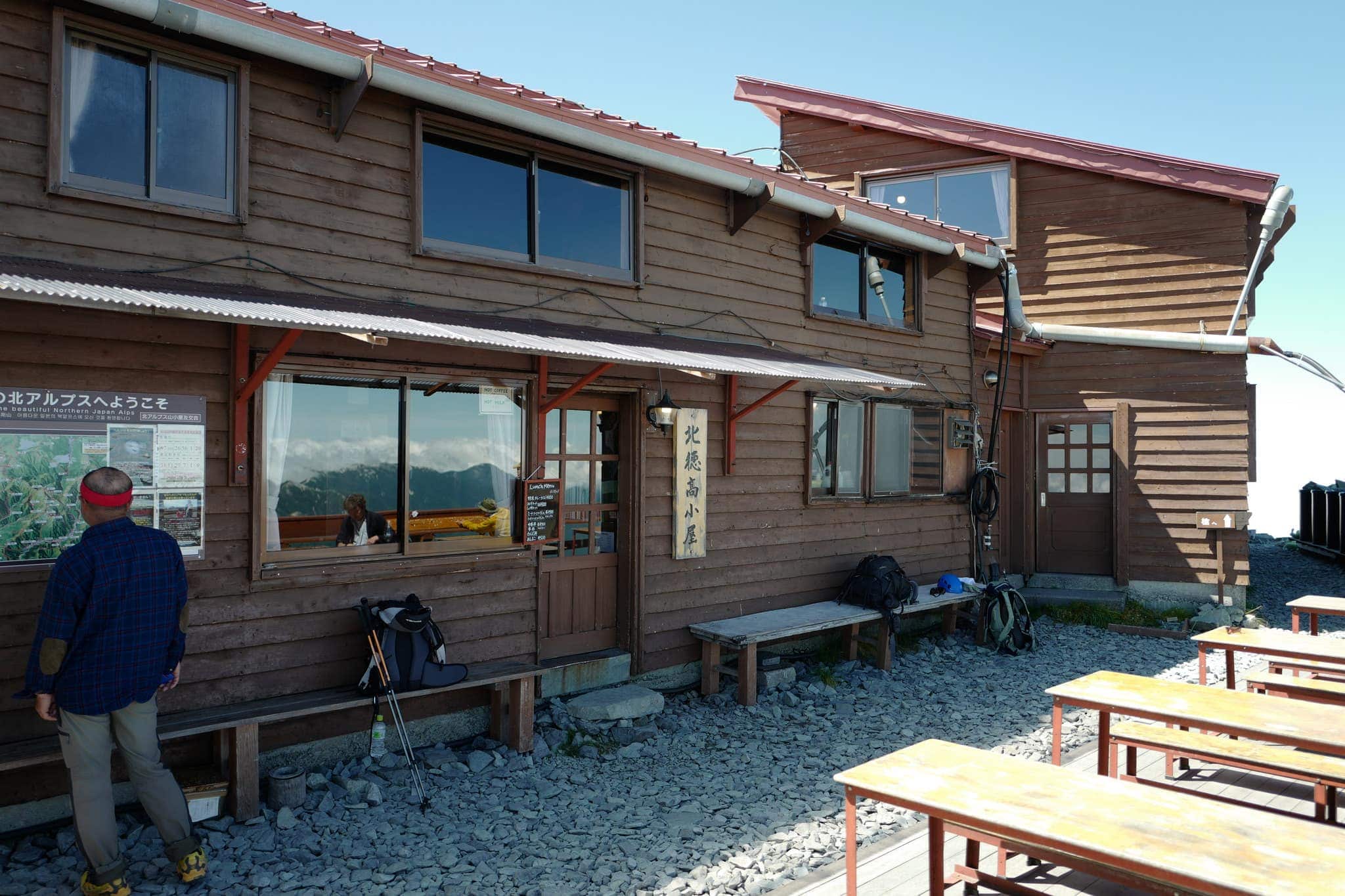
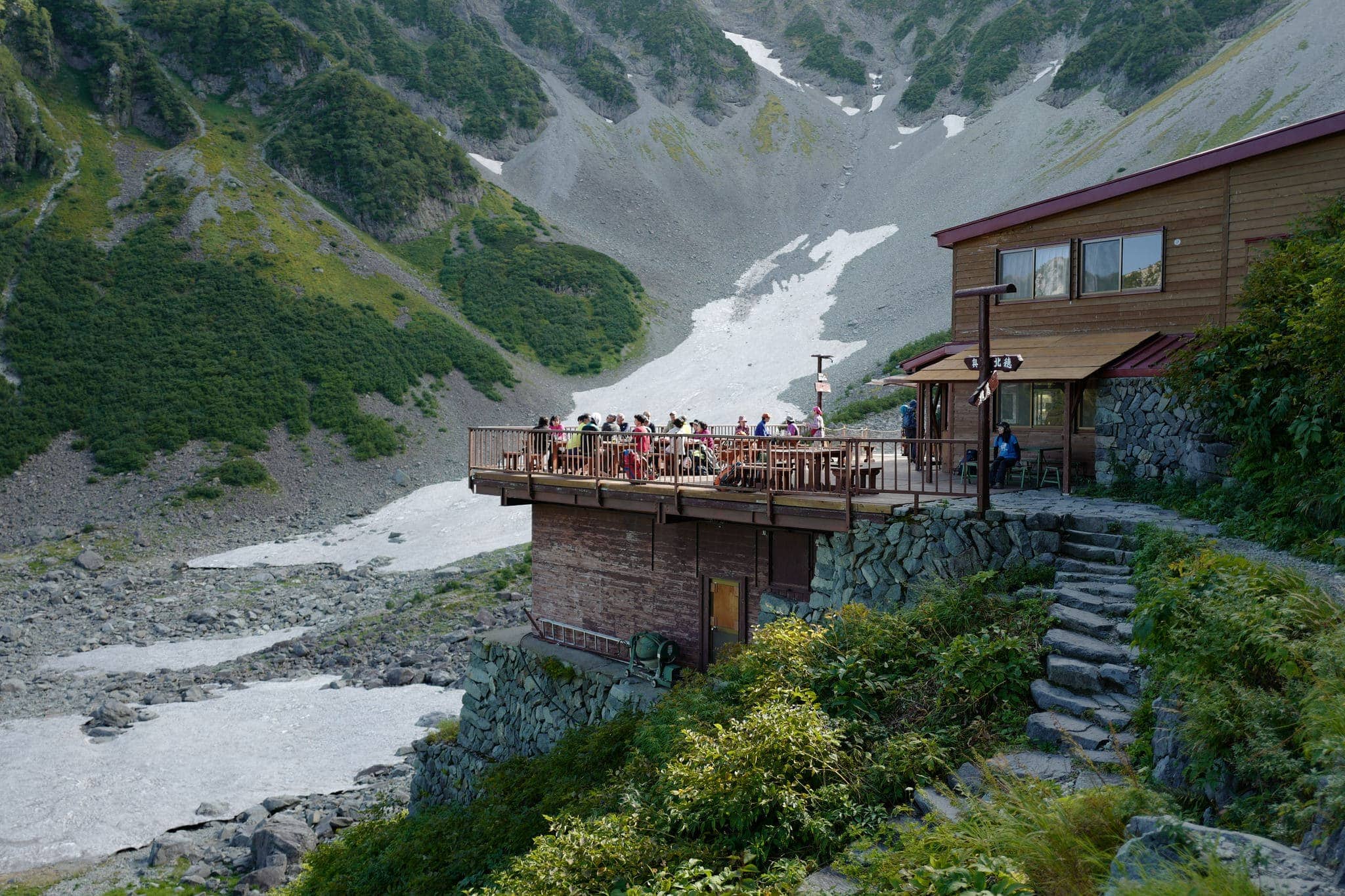
Before hiking down, we made a 20-minute detour to Kitahotakadake Hut (北穂高小屋) which has a deck on the edge of the mountaintop with a fantastic panoramic view towards Mount Yari.
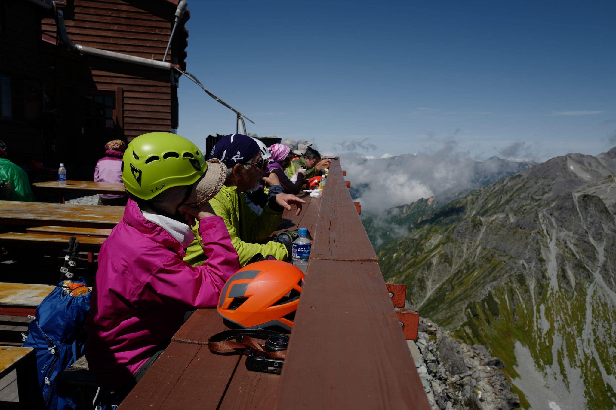
We stopped here to cook lunch; some surprisingly tasty pot noodles we’d bought from MUJI. I also recommend their curry packs for camping trips as well as their snacks which great for packing light.
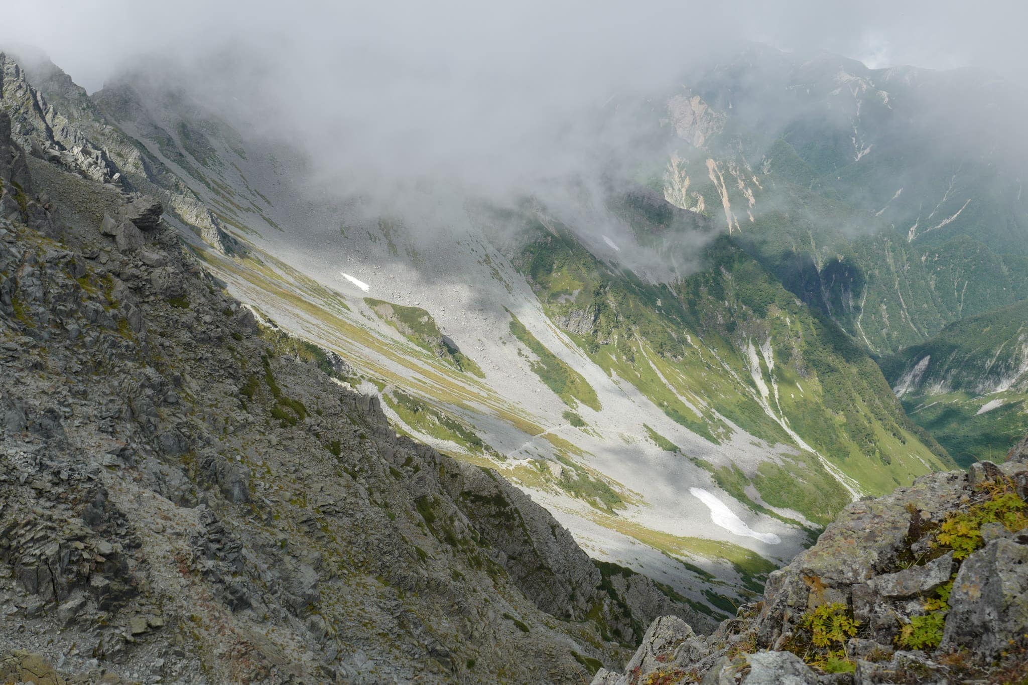
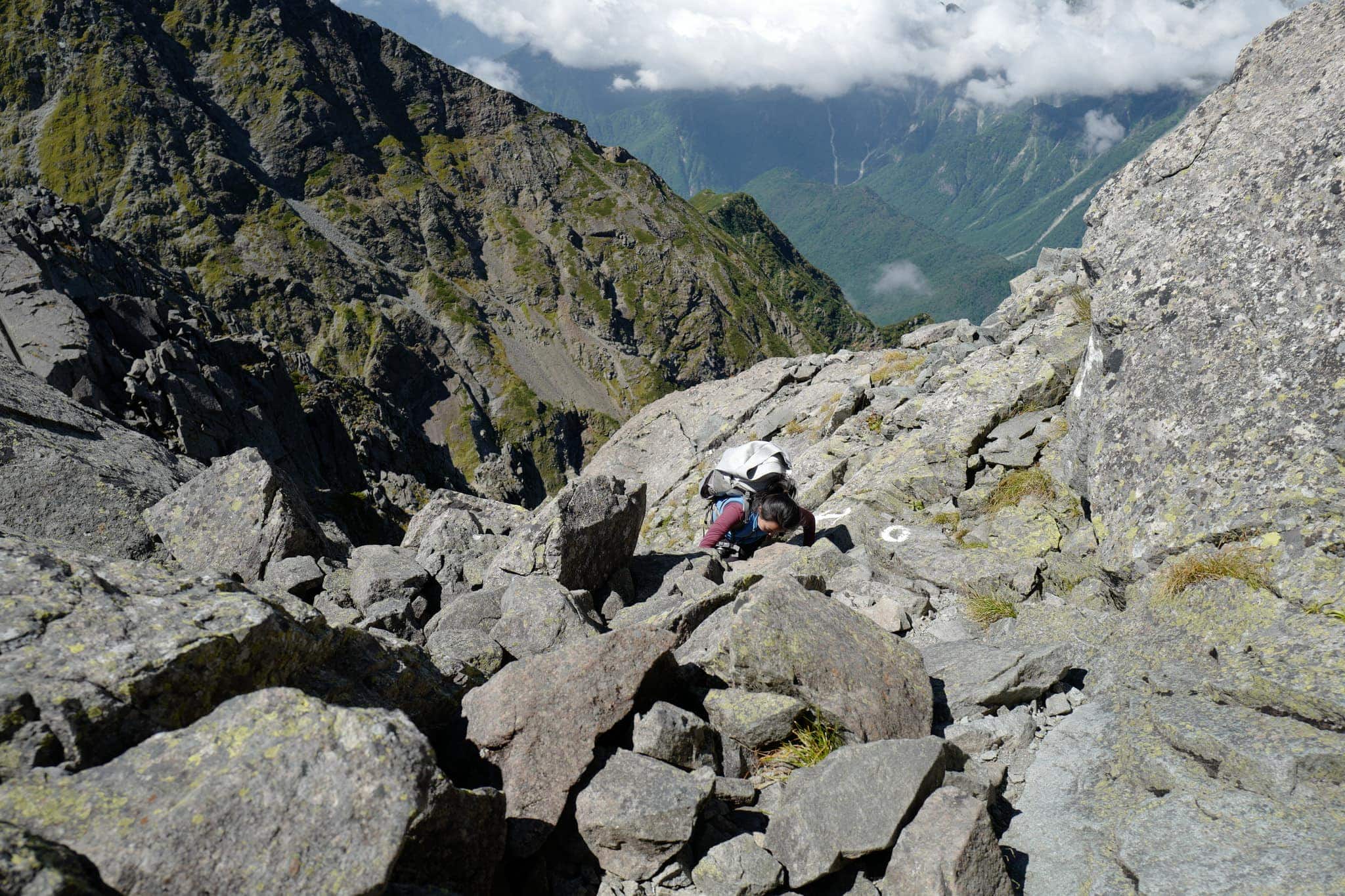
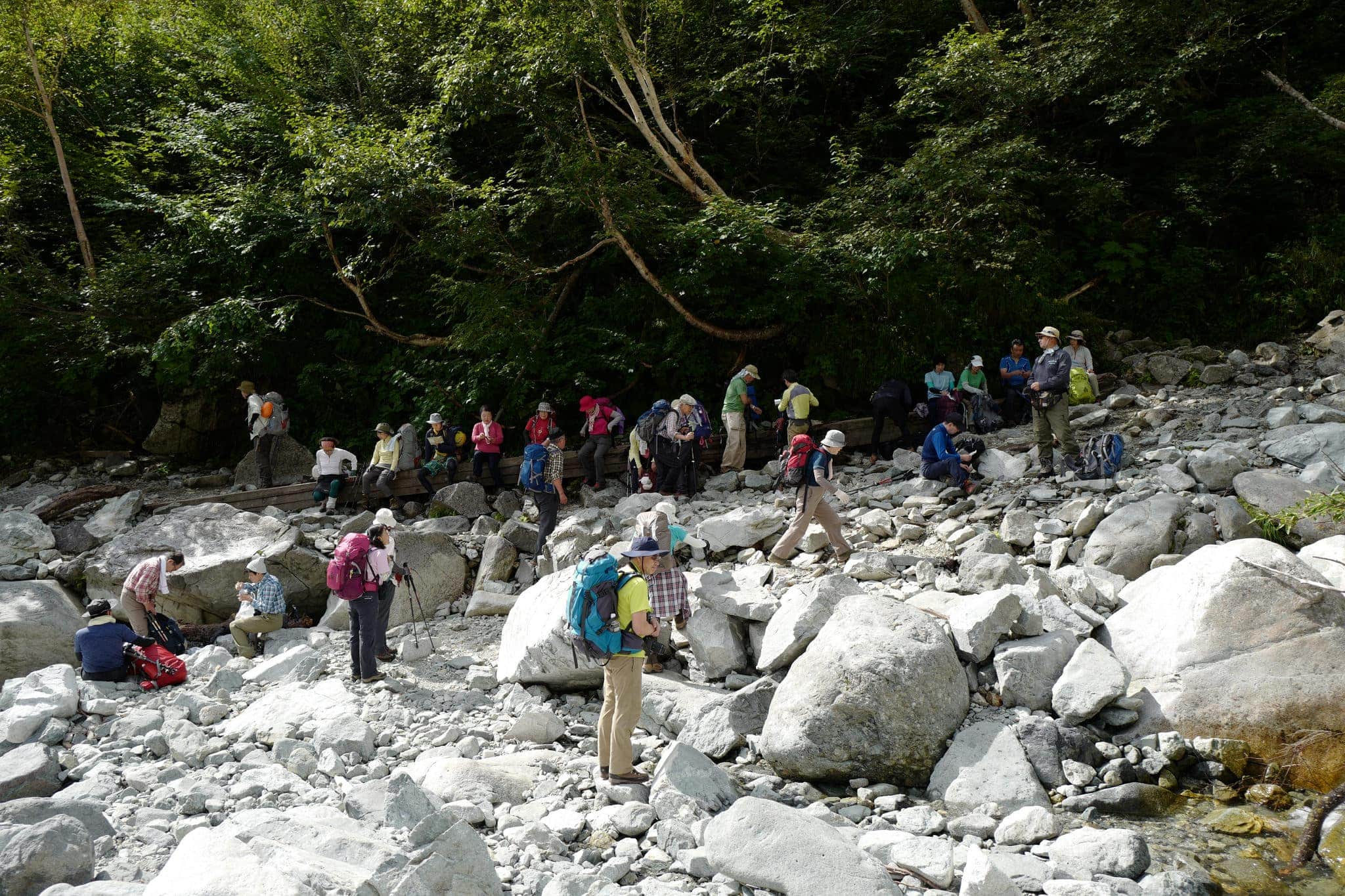
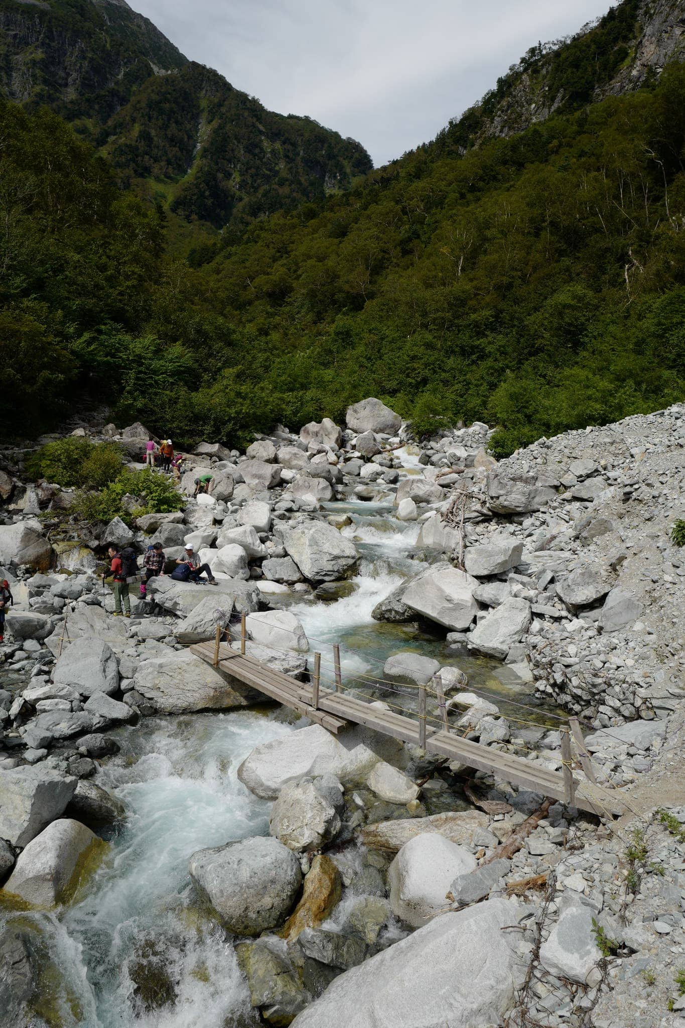
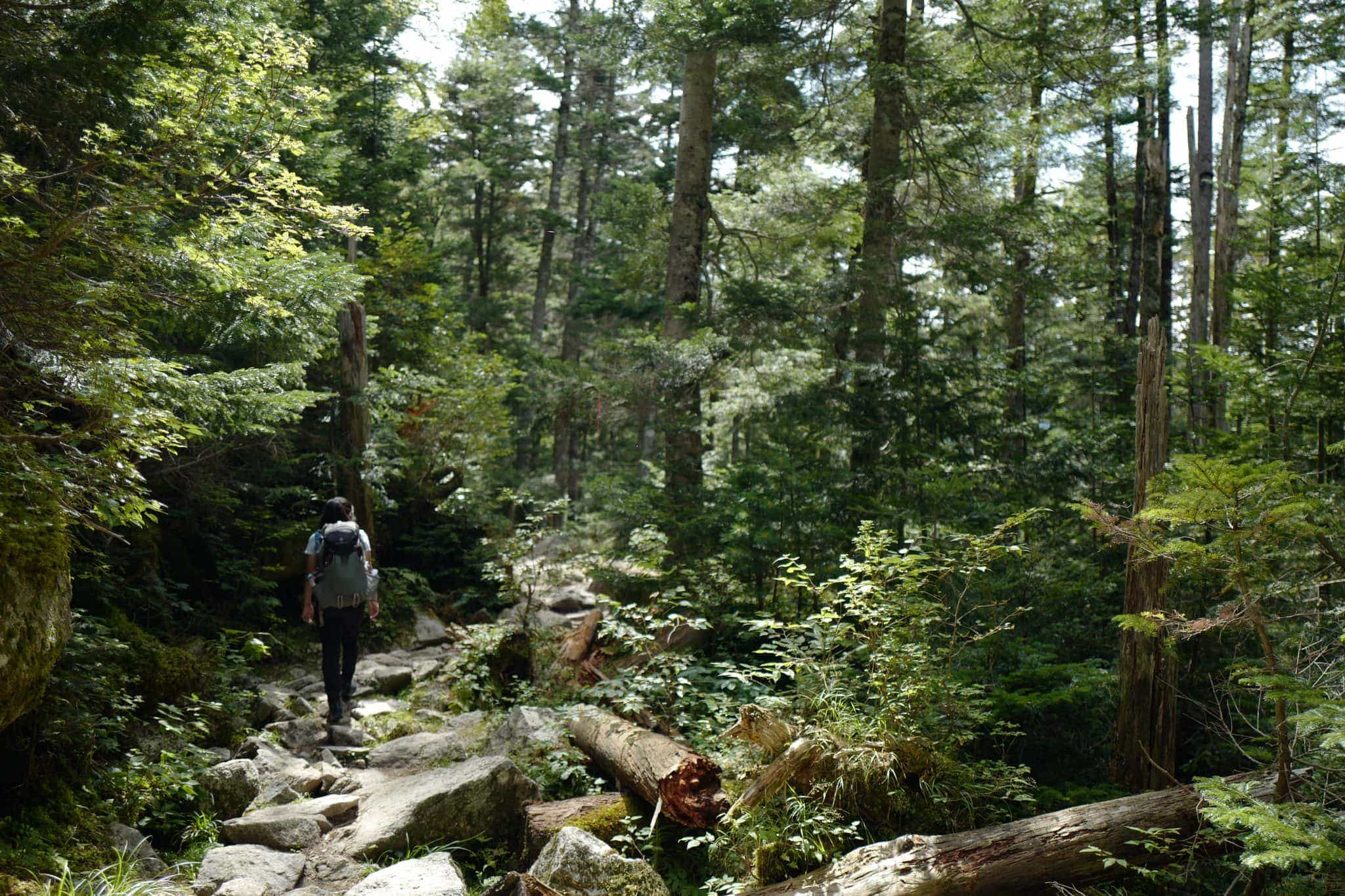
After lunch, we began to make our way down to Karasawa Camp Site (涸沢小屋). The 2km descent takes about 2.5 hours and is fairly easy except for a steep ladder and chain section in the middle.
Since only one person at a time can climb up or down the long chains at a time, there was a bit of congestion waiting for our turn.
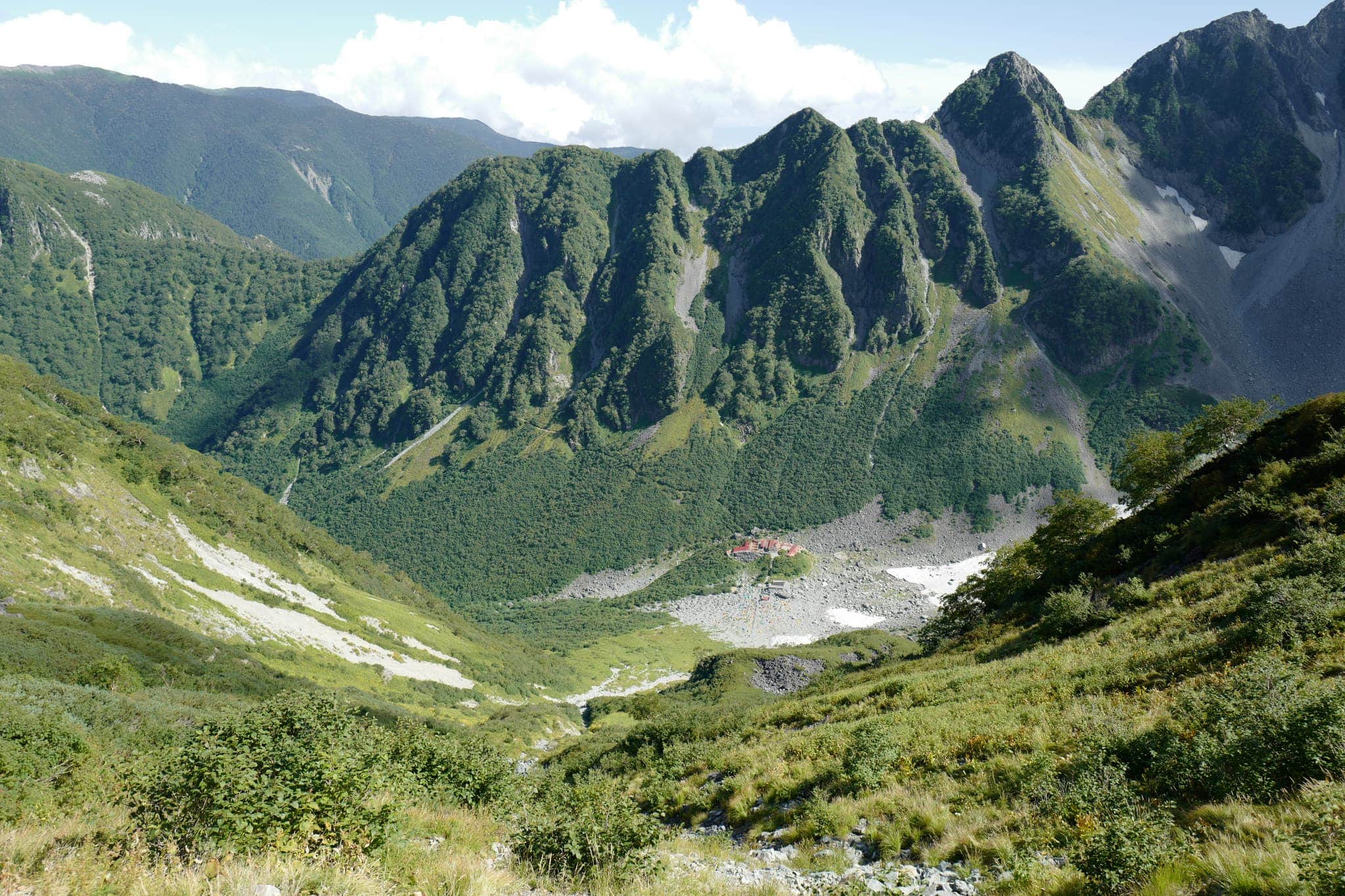
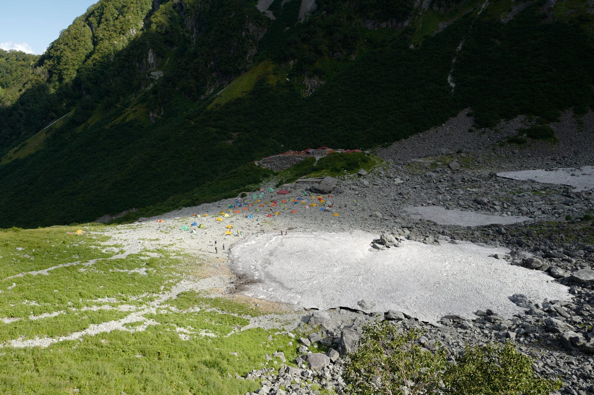
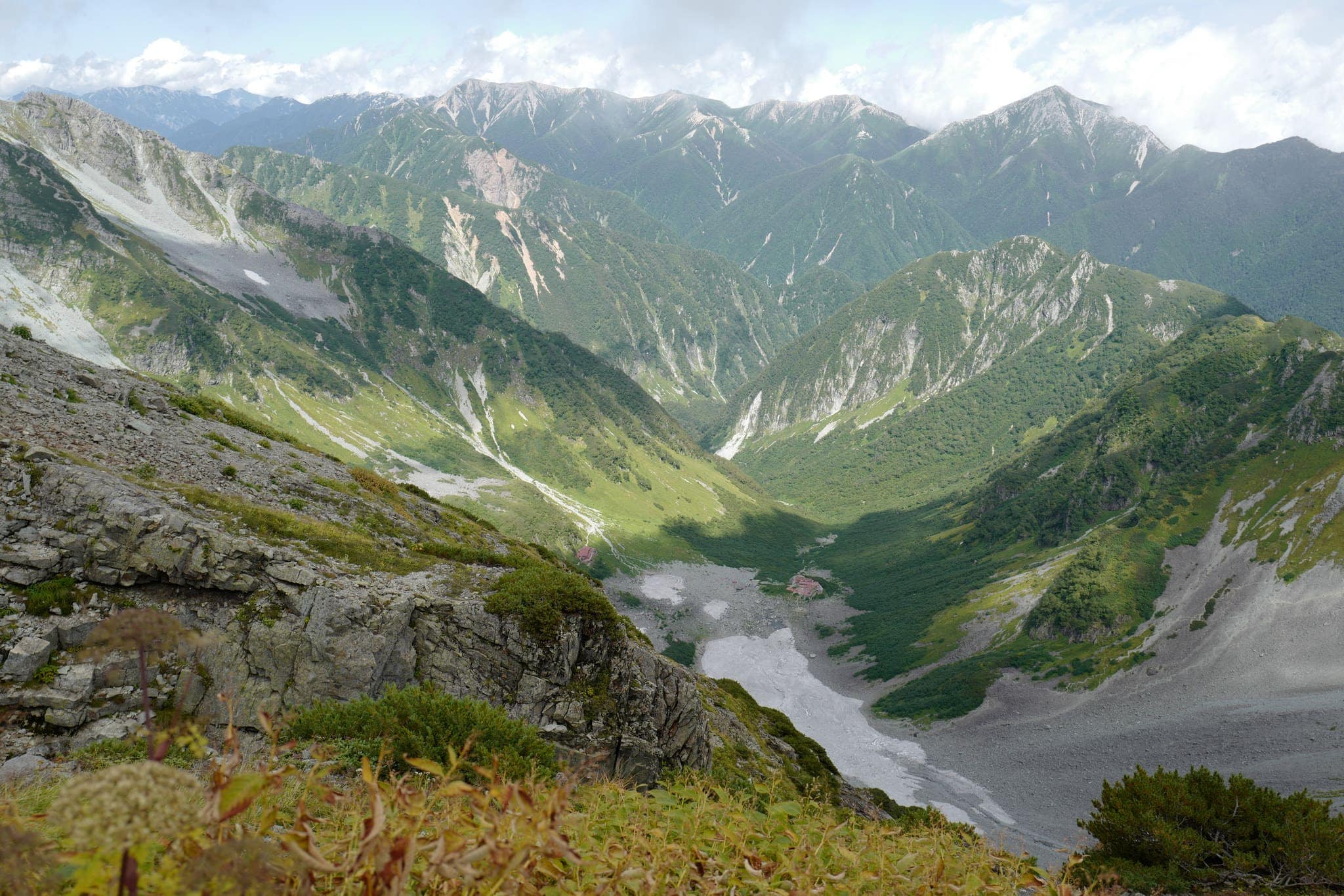
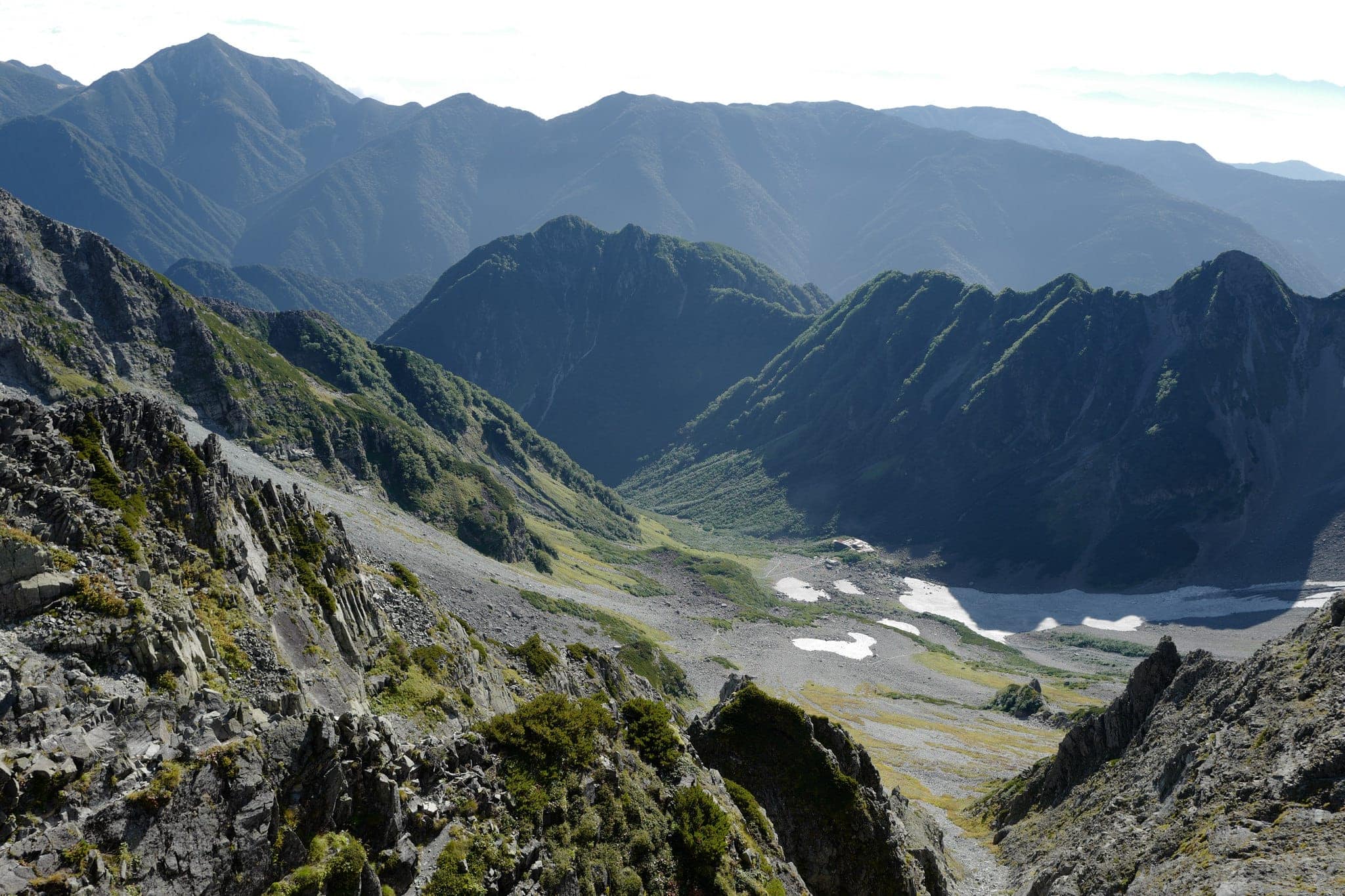
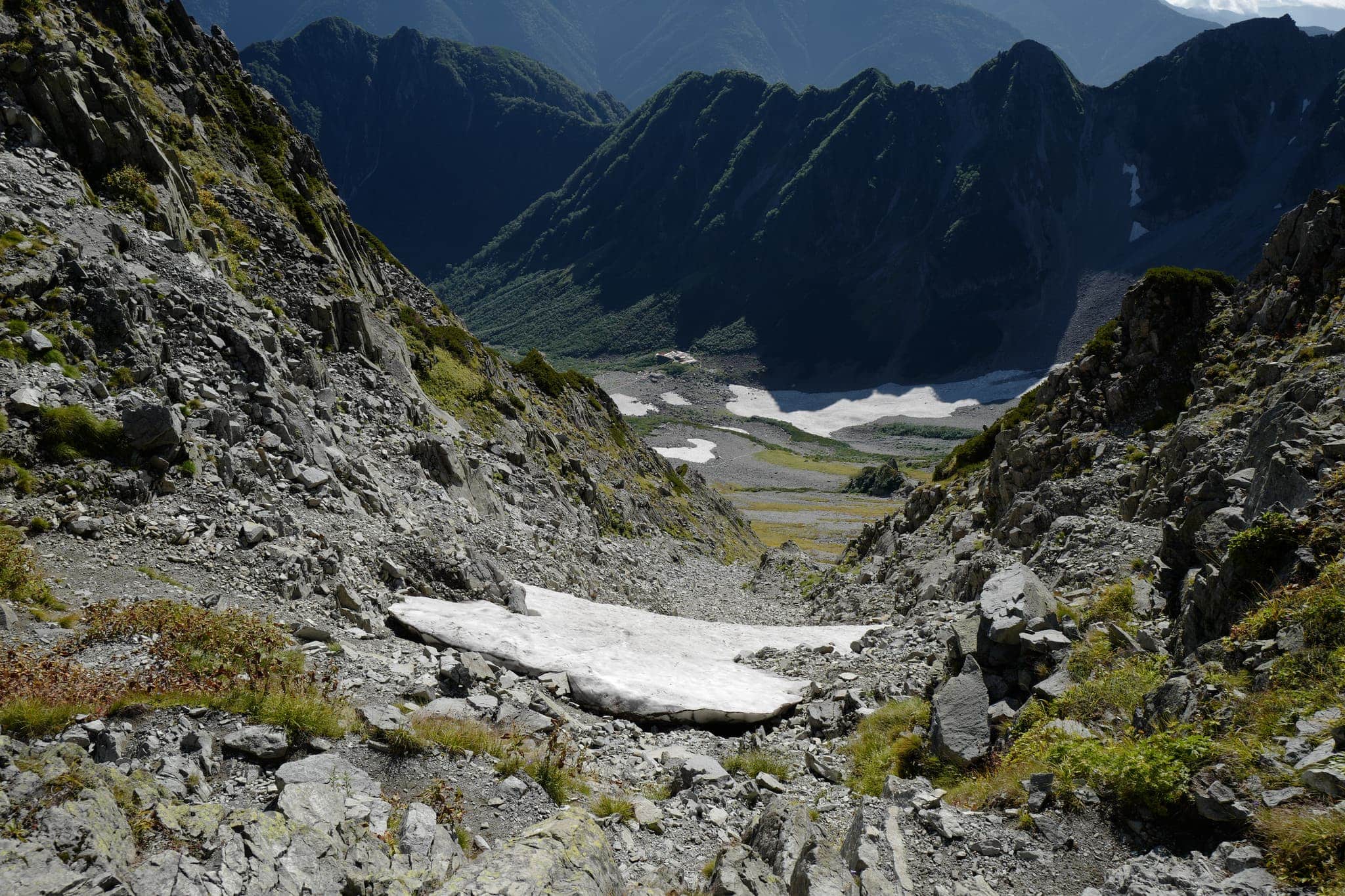
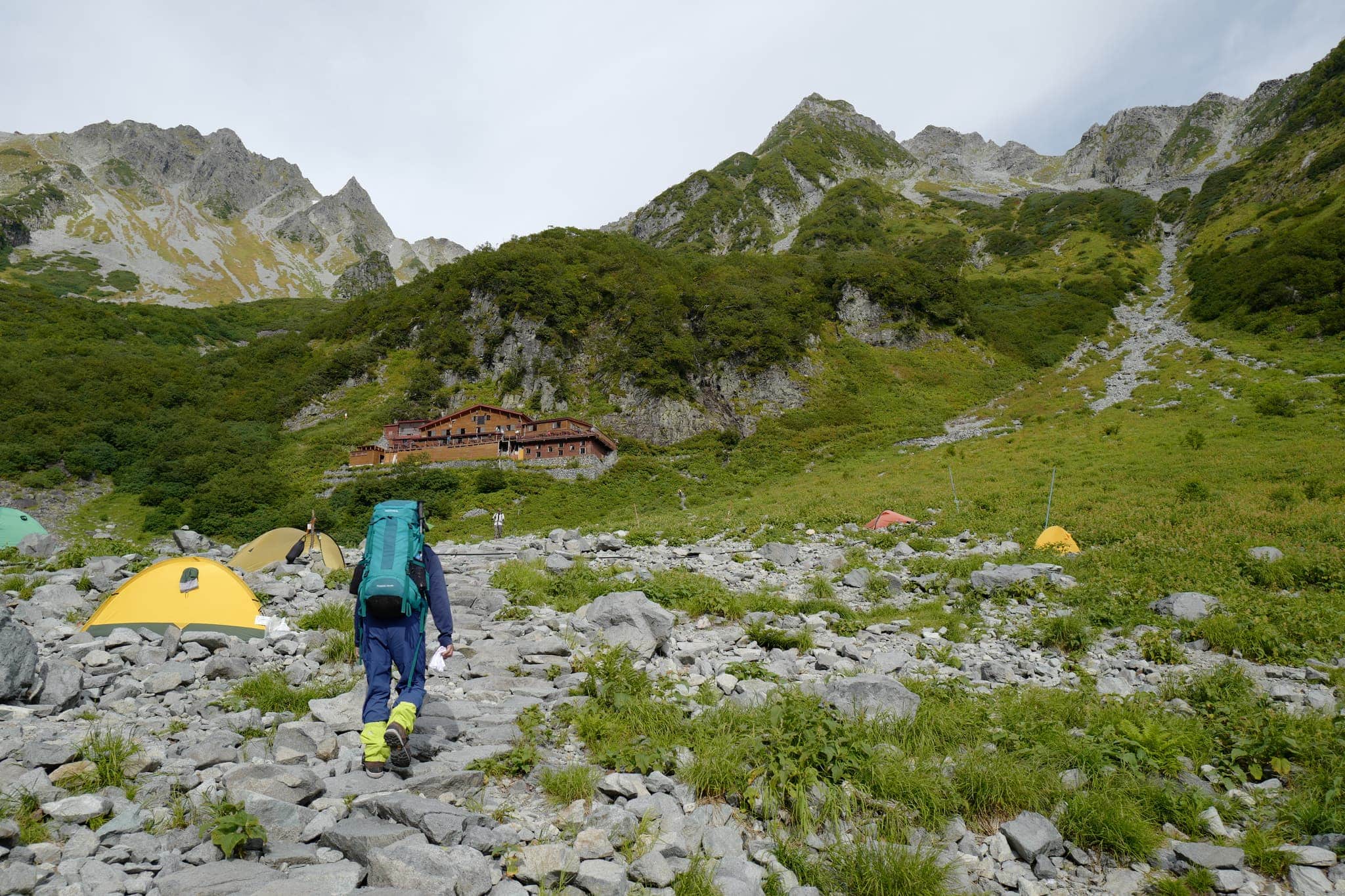
Nearing the valley floor (2350m), we stopped for a drink at another hut on the mountainside. From the deck, we could see the full extent of Karasawa Camp Site with its enormous boulder field that can accommodate more than a thousand tents.
During fall it’s a popular place for people to view the autumn colours on the surrounding mountainsides.
Above the campsite are more enormous ice patches from where the hut gets its water.
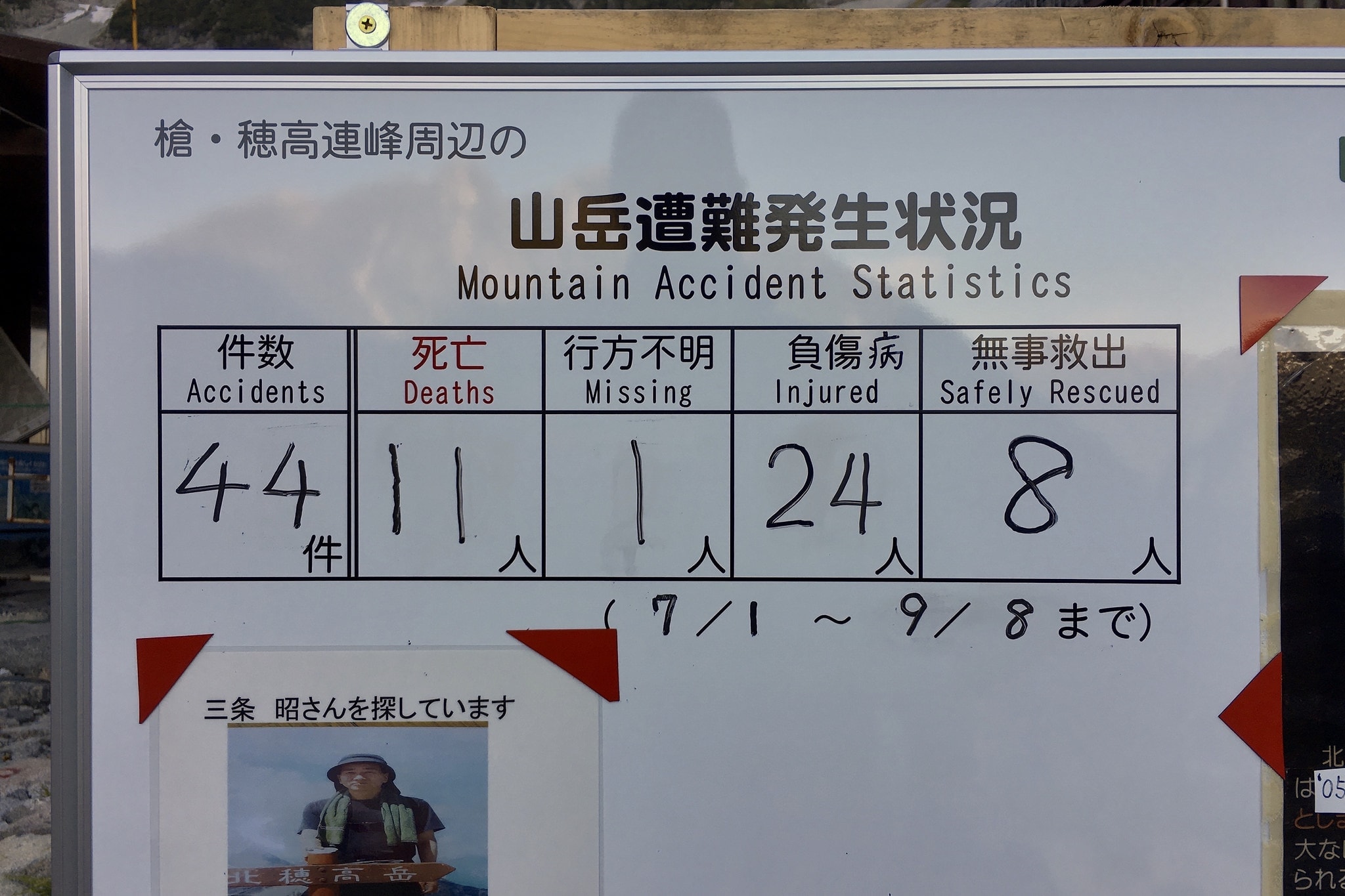
At the campsite office, we were a bit disconcerted to pass a sign listing the number of accidents, deaths, missing and safely rescued in the past two months. The numbers were a bit alarming.
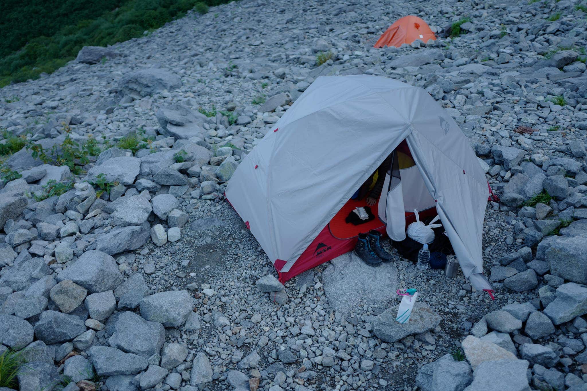
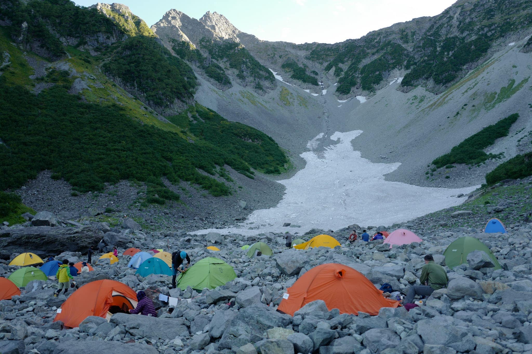
After registering, we enjoyed an ice cream and found a quiet spot to set up our tent. From our position, we could see all the way up the sheer rock face to where we’d camped the night before 600m higher.
Having eaten a good dinner of rehydrated vegetarian chilli con carne, we retreated to enjoy the comfort of one of the heated rooms in the hut complex. With the dangerous part of the hike completed it was much easier to relax!
Day 3 (14.7km)
Karasawa → Kamikōchi
In the morning we had a decadent breakfast of bacon sandwiches with hand-toasted bread and hot tea to prepare us for the long hike ahead.
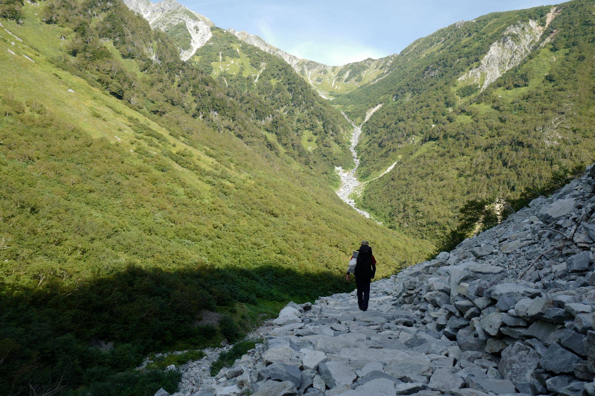
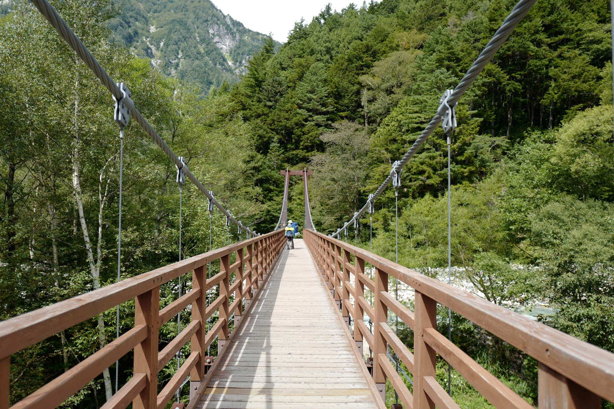
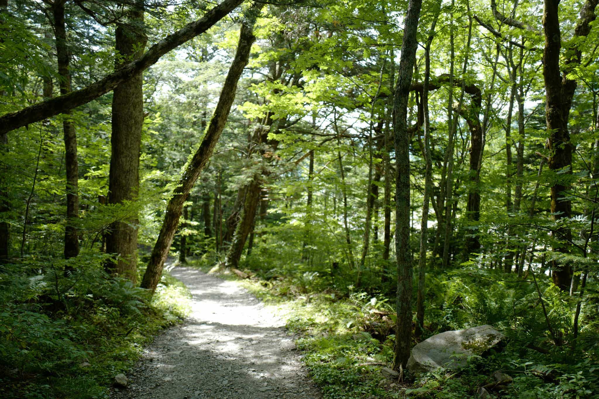
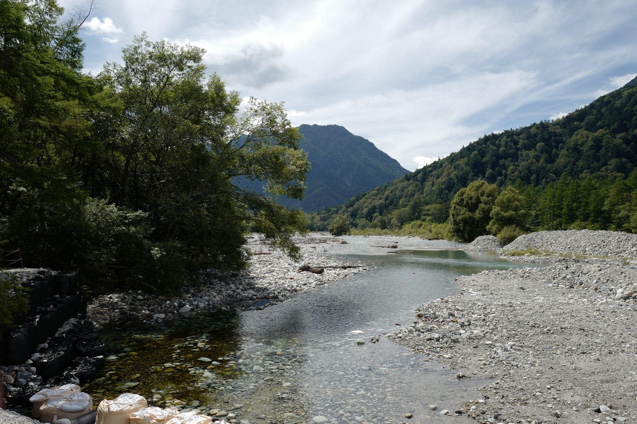
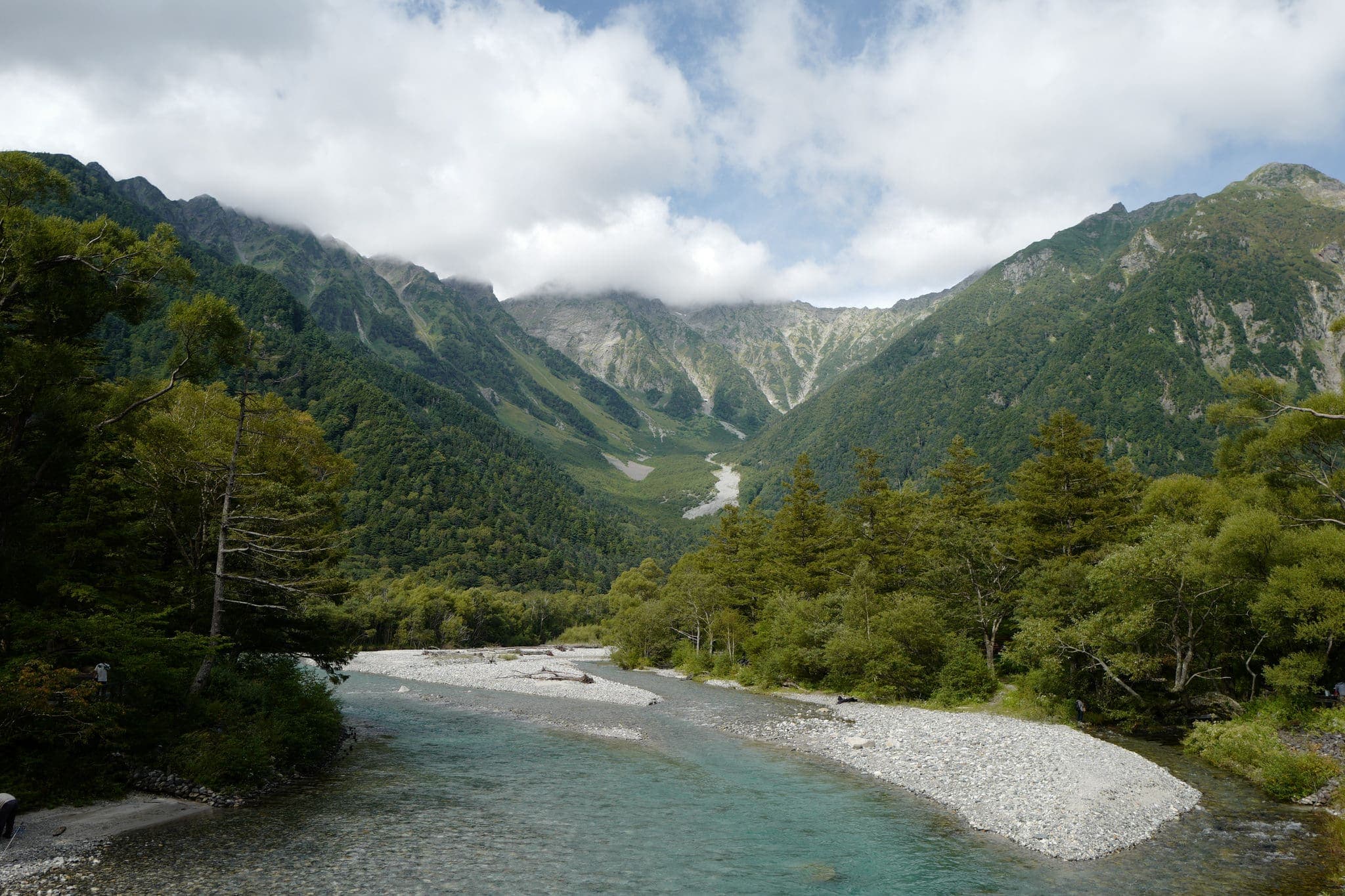
The 6-hour trail follows the base of the Yokoo valley downstream, joining the Tokusawa river before reaching Kamikōchi. Foot traffic rises considerably the closer you get to Kamikōchi due to the relative ease of access.
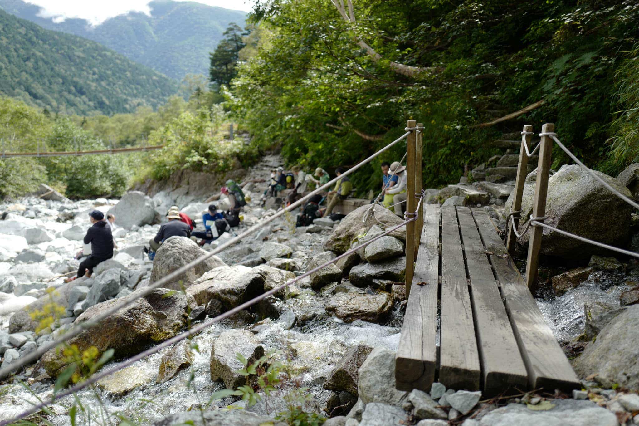
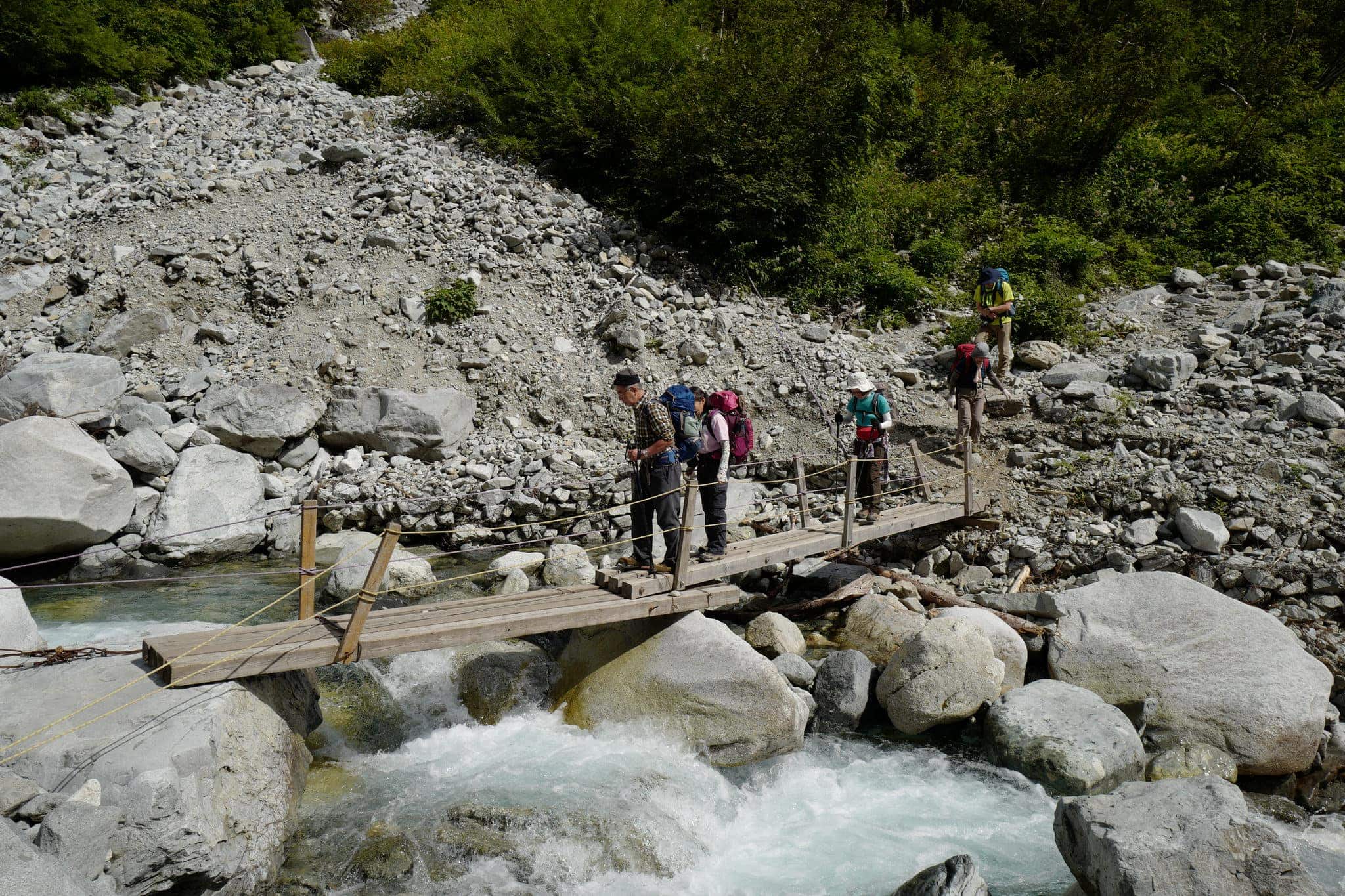
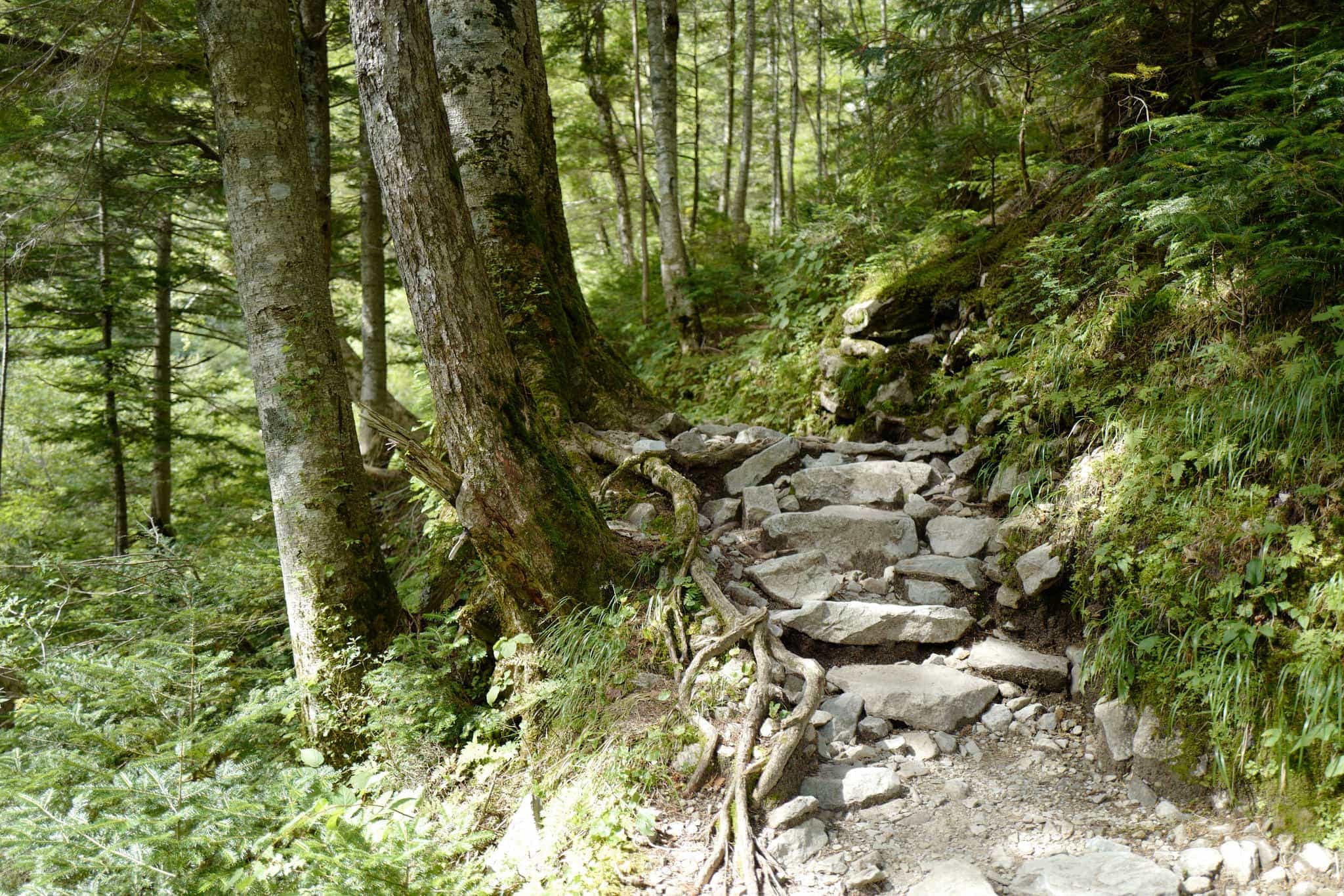
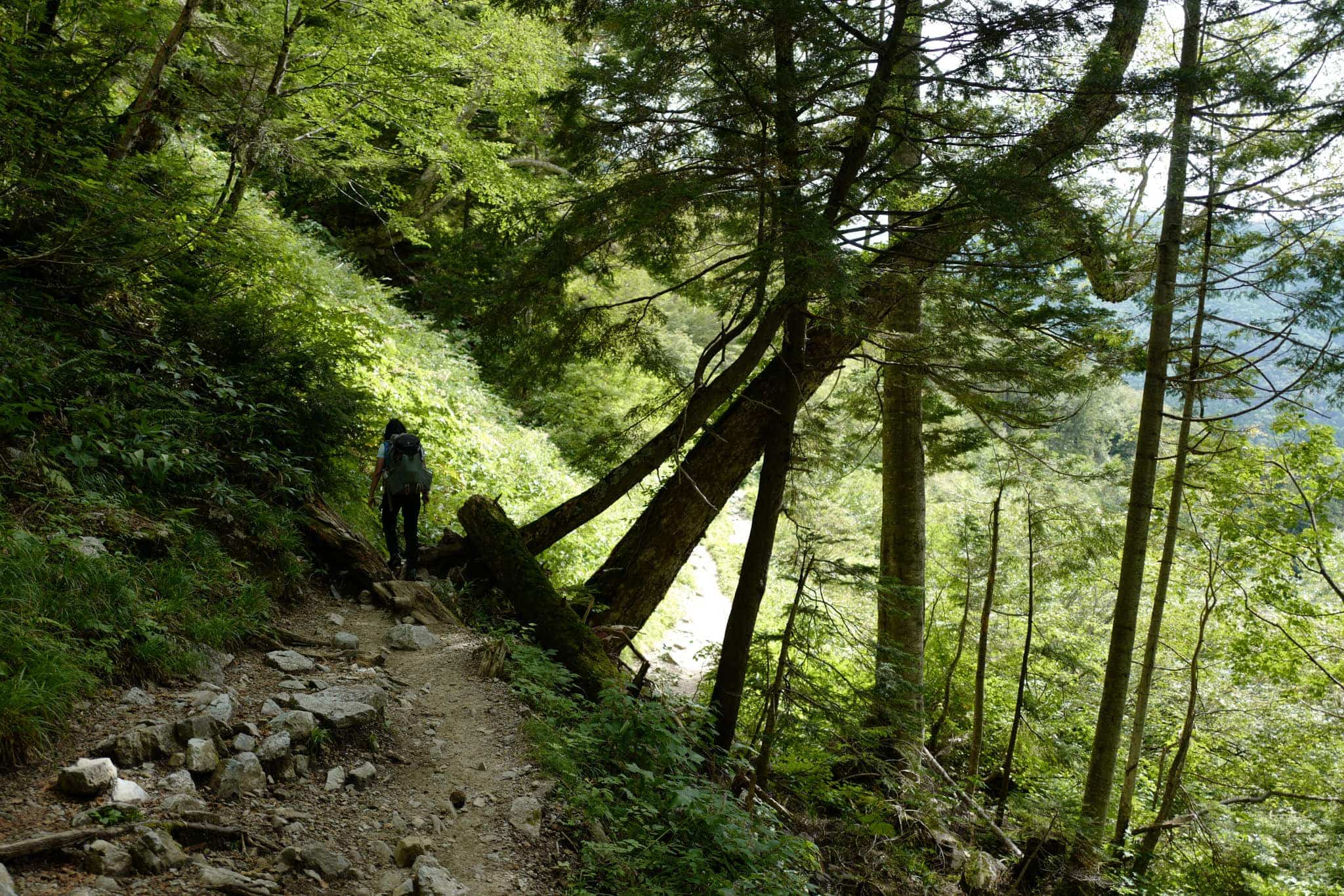
While it hadn’t been our original plan to take this route, the scenery amid the verdant trees and vegetation was particularly beautiful. With perfect weather to top things off, we couldn’t have asked for much more.
Along the way we passed two campsites; Yokoosanso (横尾山荘) and Tokusawa (徳沢) which both have good facilities and restaurants. I particularly recommend the pork curry at the latter.
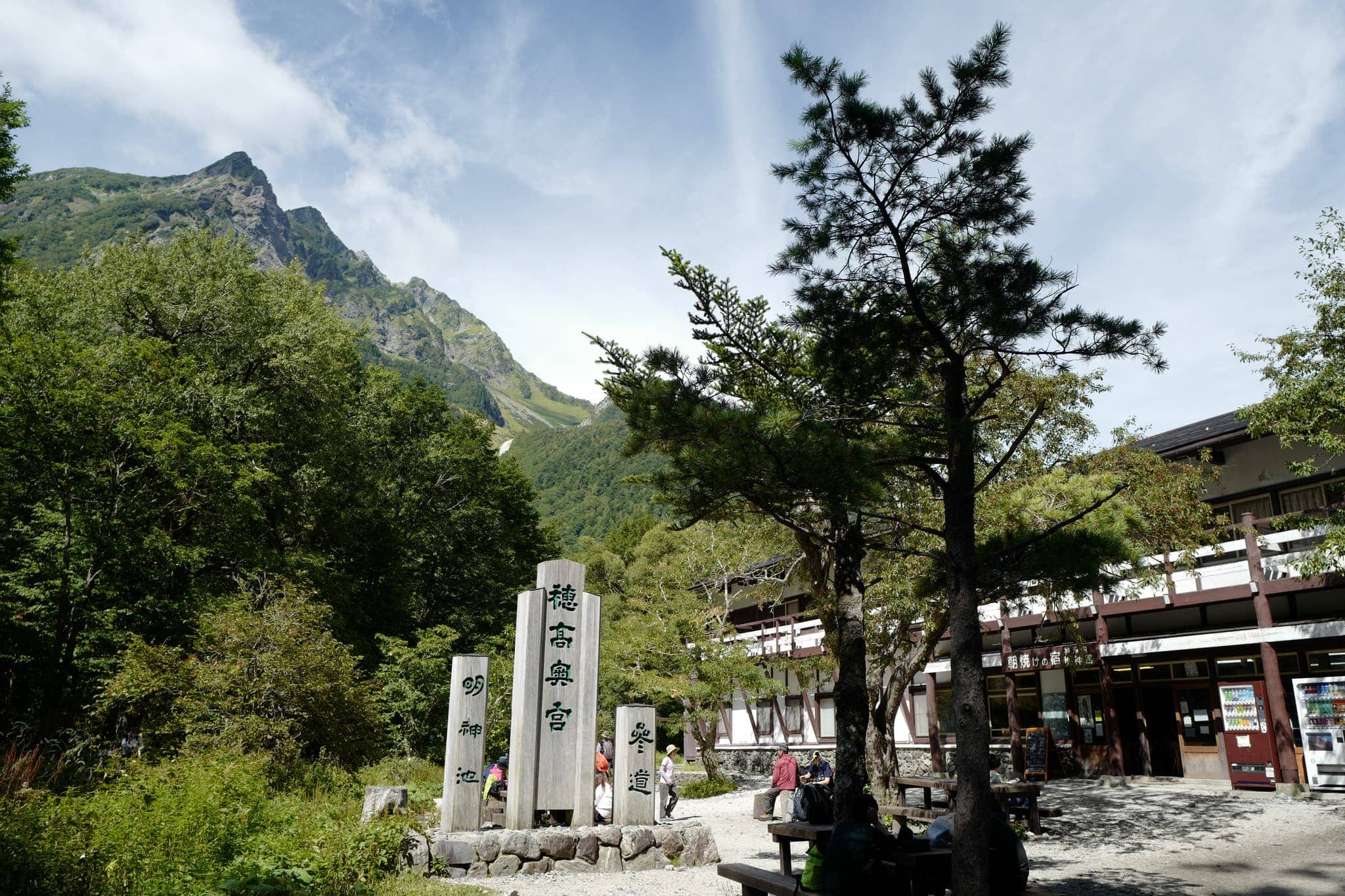
We reached Kamikōchi at 2 pm and enjoyed an ice cream while surveying the view back where we had ascended two days earlier. Afterwards, we took a bus to Hirayu Onsen (平湯) to release our aches and pains in the onsen and feast on the local Hida beef.
Despite not quite reaching our goal the past two years, I think it’s important to know your limits and not to push your luck when it comes to this sort of alpine hiking. On the way back we were already making plans for 2018 so perhaps next time we’ll make it all the way!
Leave a Reply to Johan Cancel reply