Kamikōchi to Mt. Nishi-Hotakadake

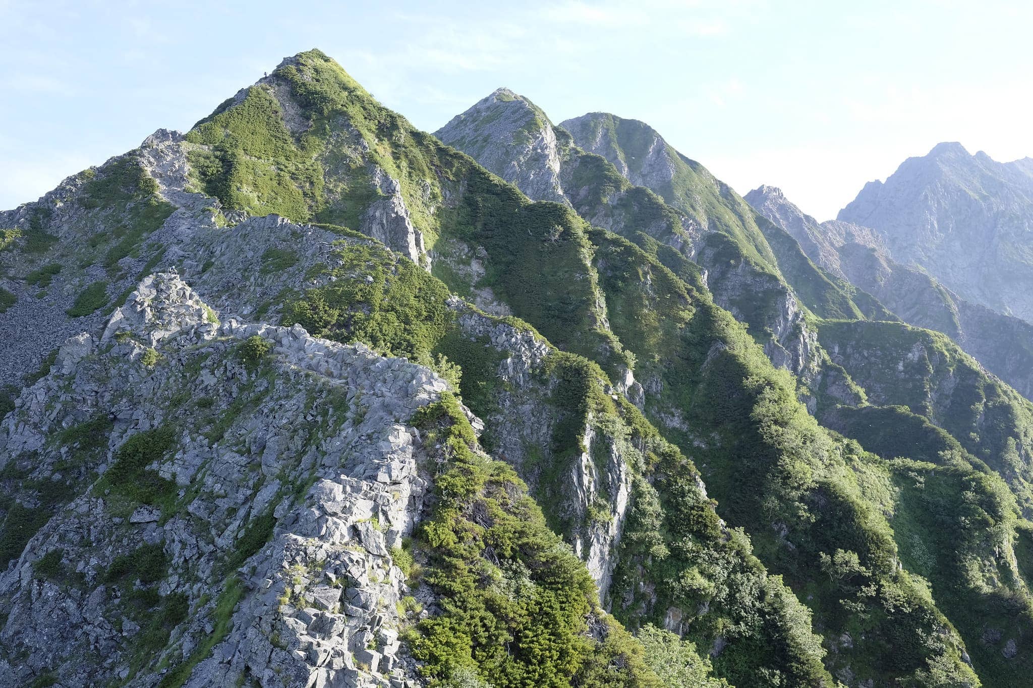
Having fully recovered from my epic hike earlier in the year, over a recent public holiday I decided it was time to hit the mountains again, this time heading to the Hotaka Mountains which consists of five peaks; Okuhotaka, Karasawa, Kitahotaka, Maehotaka and Nishihotaka reaching a height of 3,190 m (10,466 ft) in Nagano prefecture.

The original plan had been to make it all the way from Kamikōchi (上高地) to Mount Yari (槍ヶ岳) over four days but in the end, we had to cut things short and do a circular route instead.
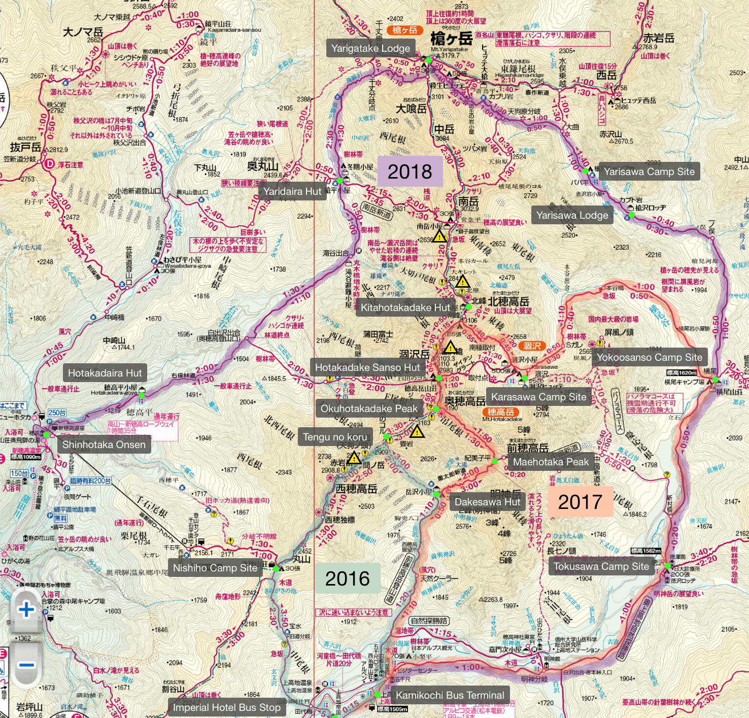
The map above highlights 3 trails:

Day 1 (3.5km)

Shinjuku → Nishiho

_DSF7852

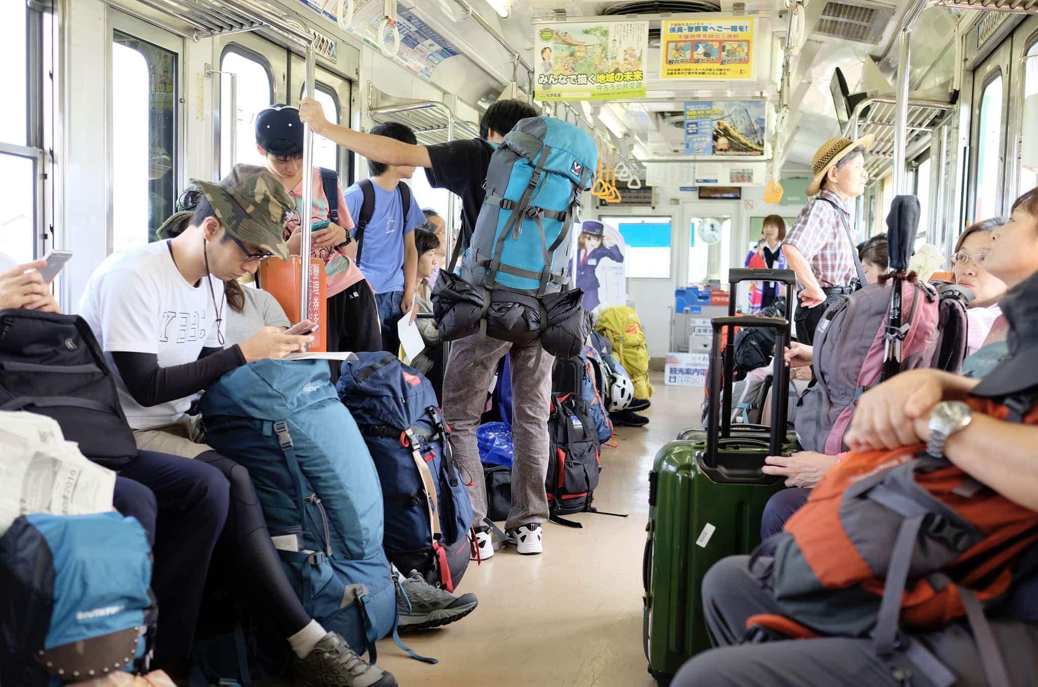
Day 1 started with an early train west from Shinjuku (新宿駅 07:00) to Matsumoto (松本駅 09:42) and then switching to a local train bound for Shinshimashima (新島々駅 10:40). A conductor provided a narration of the local landmarks along the way, not that we could understand much of it!

Due to the holiday, both trains were packed and there was a long queue for the connecting bus to Kamikochi (上高地 10:55). Luckily we were able to get seats the whole way, getting off at the Imperial Hotel Bus Stop (12:15 帝国ホテル前).
_DSF7861

The area around the hotel was busy with day tourists enjoying the scenery from the plateau in the Azusa River valley and a police helicopter was practising manoeuvres in the skies above. Signs warned us to beware of brown bears.
_DSF7865

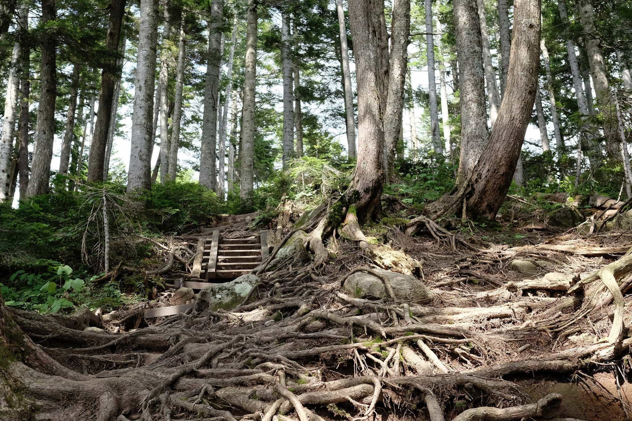
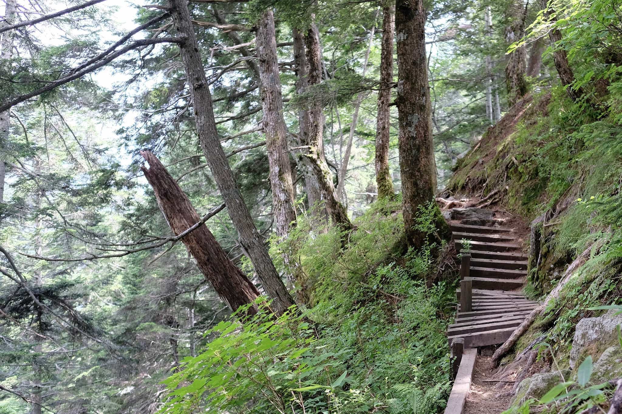
After we crossed the river things quietened down and we were soon ascending up the side of the valley under the cover of the trees.
_DSF7893

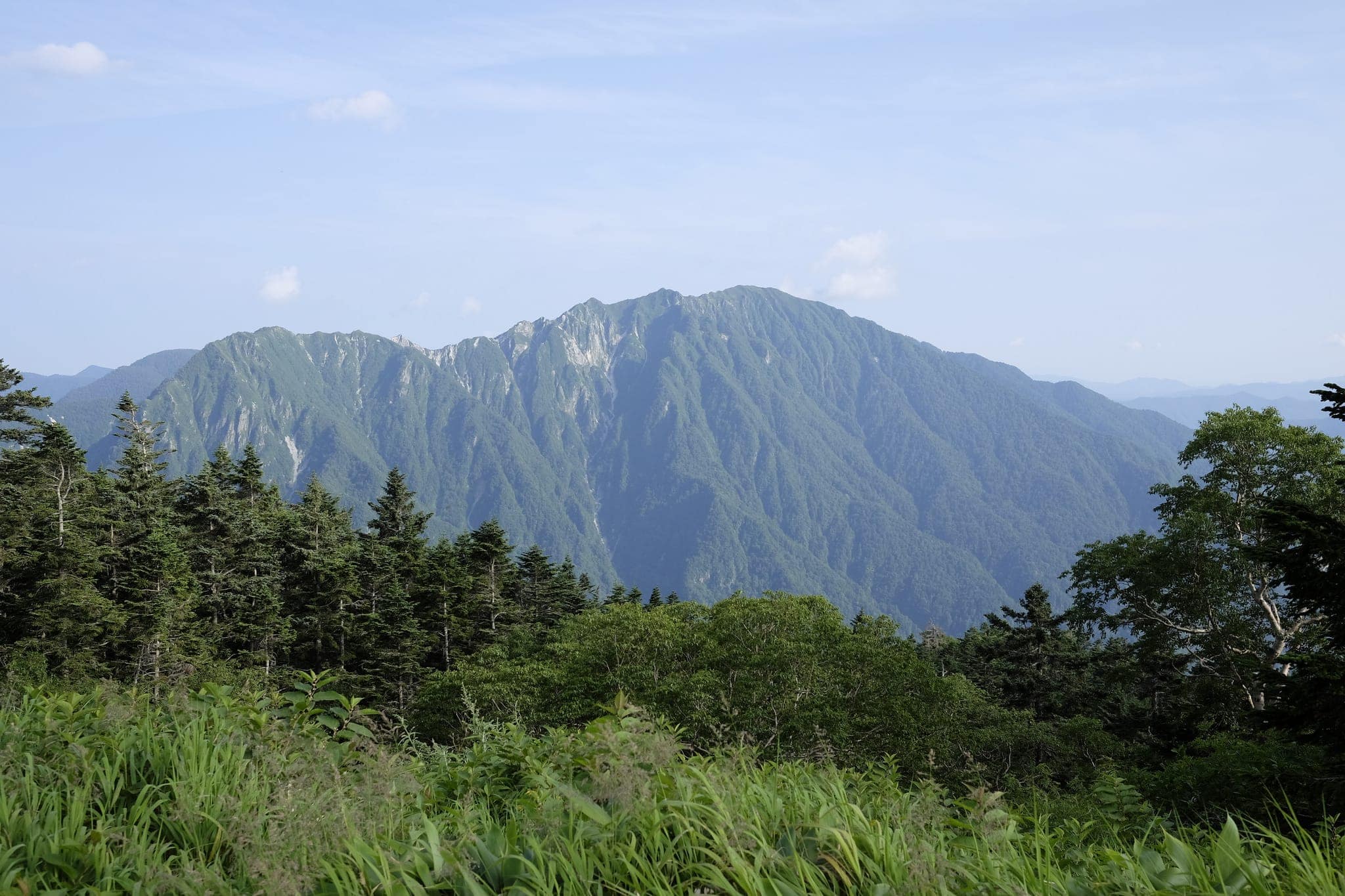
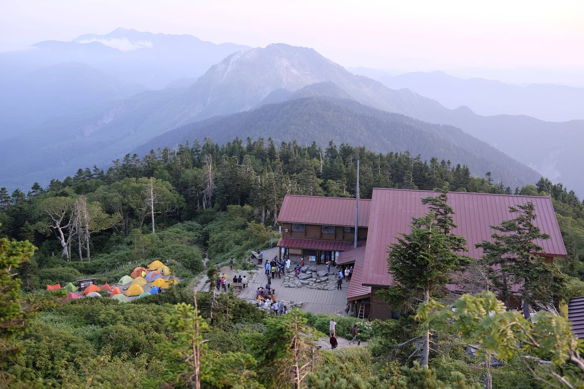
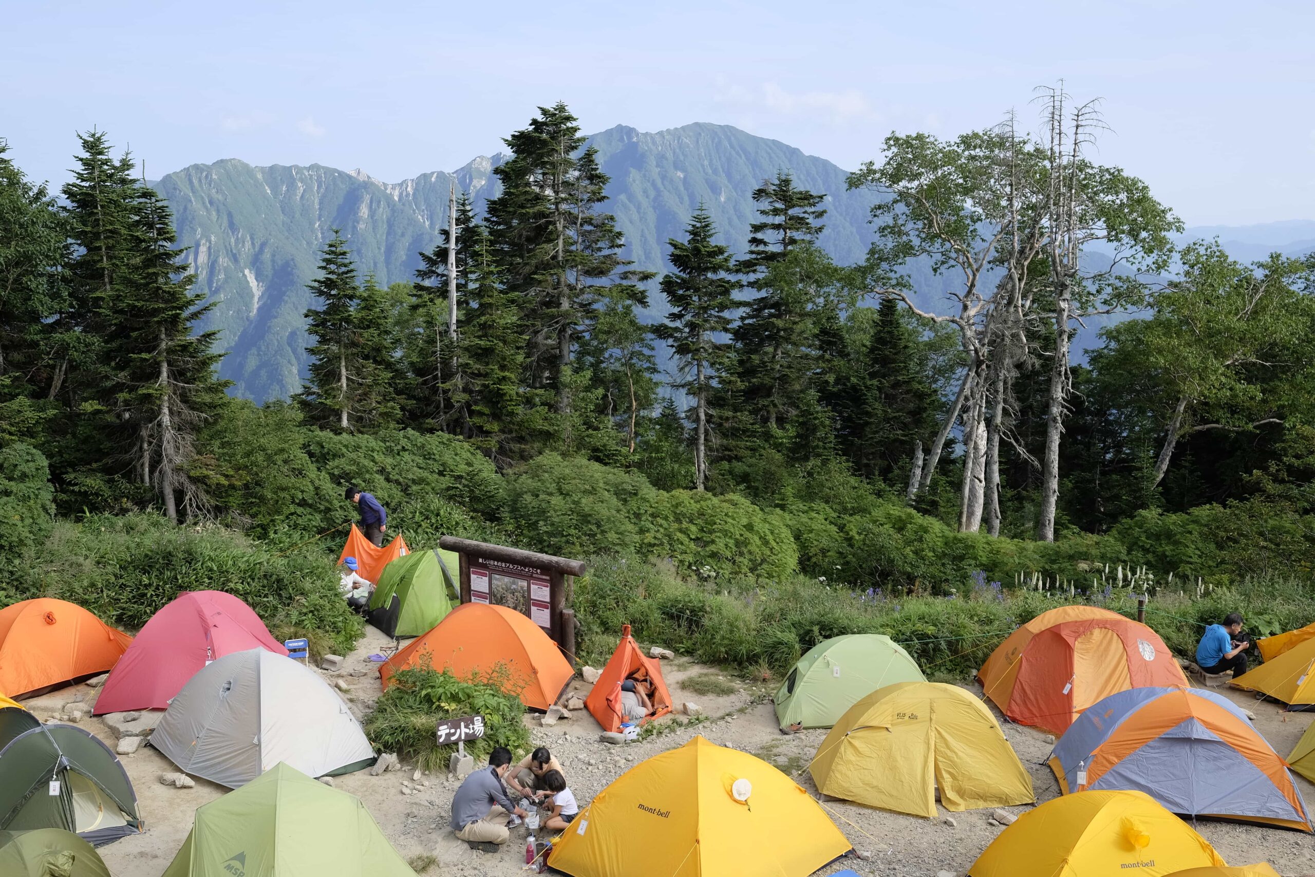
It took around four hours to hike up to Nishiho (西穂山荘) hut which provides commanding 360° views out over the mountain landscape.
_DSF7891

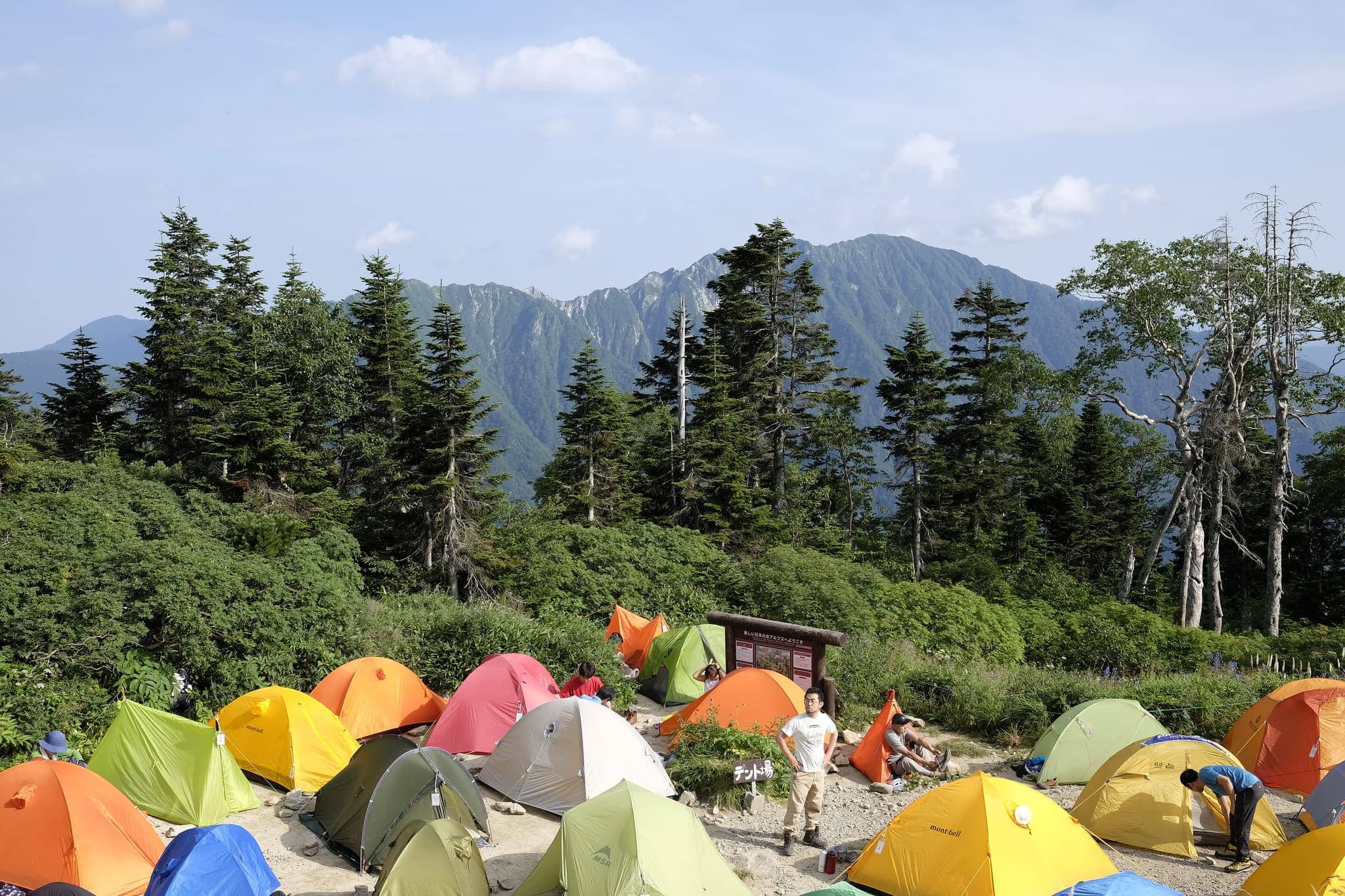
Unfortunately, the campground was already teeming with other campers and it took a bit of sheepish negotiation to commandeer a spot squeezed between the other neon domes.
_DSF7909

The hut was run with military precision with a weather forecast being read out to everyone before our allotted dinner time at which point one group was told off for talking. The set meal was delicious Japanese fare which was washed down with a free cup of sake. Nobody seemed to be questioning whether it was a good idea to be drinking at 2200 m!
_DSF7921

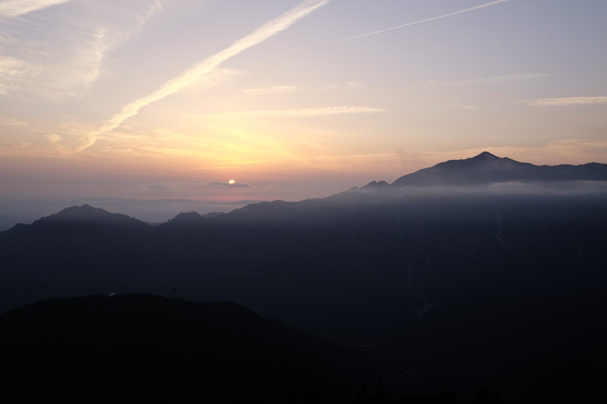
Feeling content after the food we walked a short distance higher to get a good view of the sunset with the clouds gently grazing the mountaintops. It was one of those magical moments that makes all the walking worthwhile.

After the sun went down most people settled into their tents for the night at which point we discovered our neighbour snored loud enough to keep the whole valley awake.

Day 2 (4.5km)

Nishiho → Dakesawa
_DSF7927

The first sounds of movement started around 2am when the keenest of hikers began packing up for an early start. By the time we emerged at 5am nearly everyone had already gone and we hurriedly ate some rather dry bagels we’d bought for breakfast before taking down the tent and hitting the trail.
_DSF7929

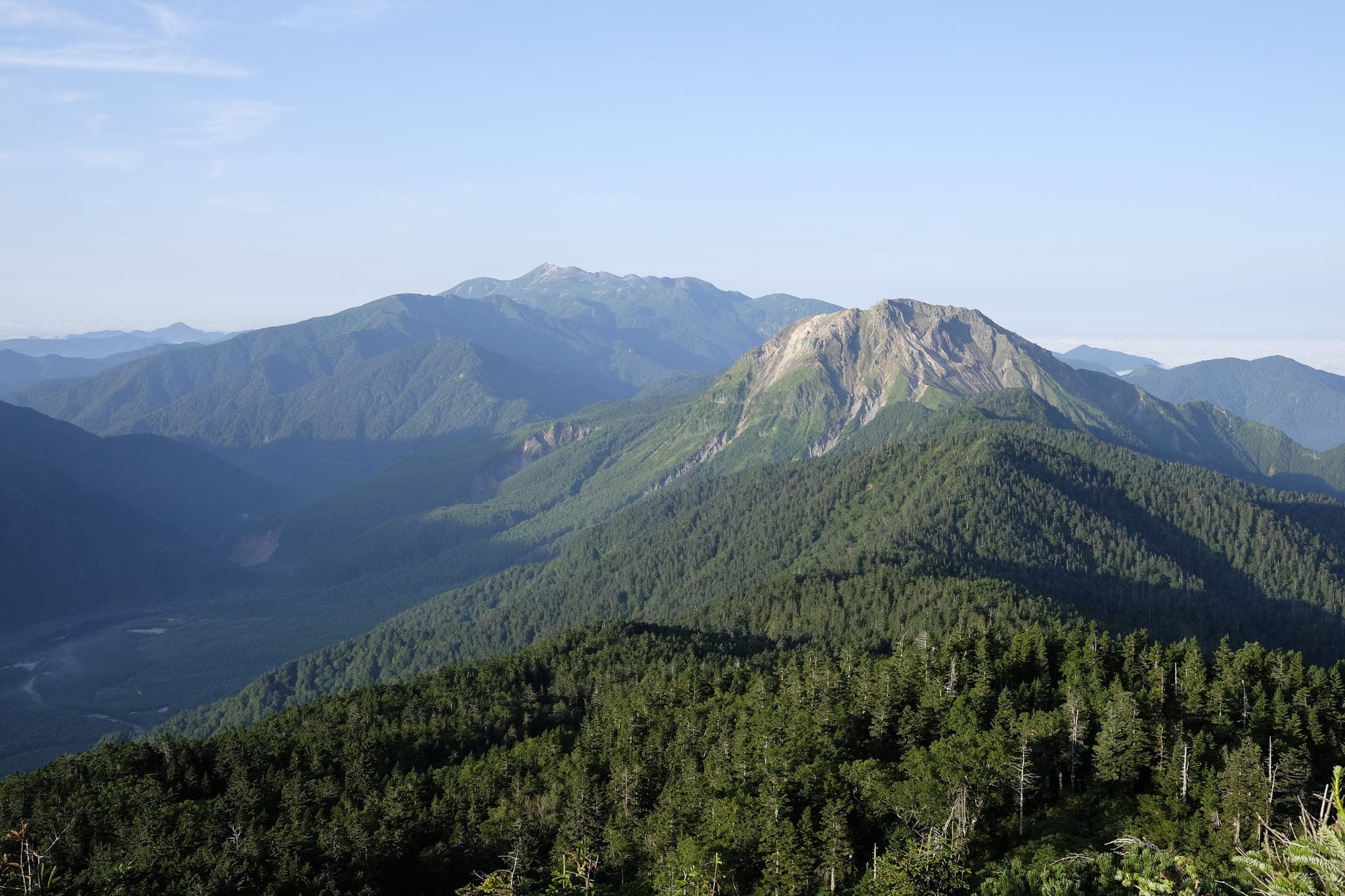
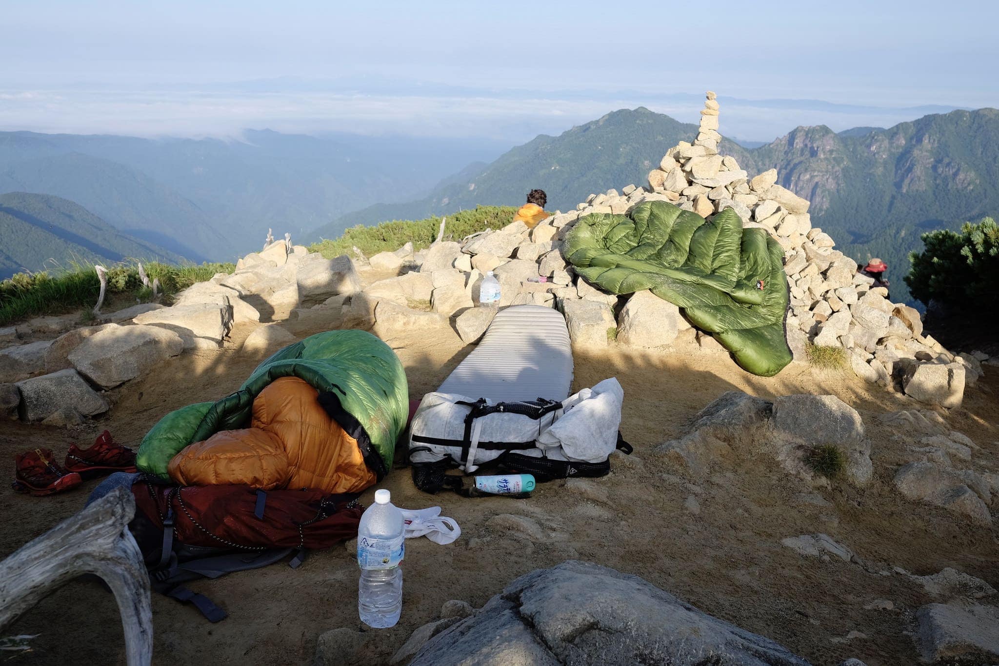
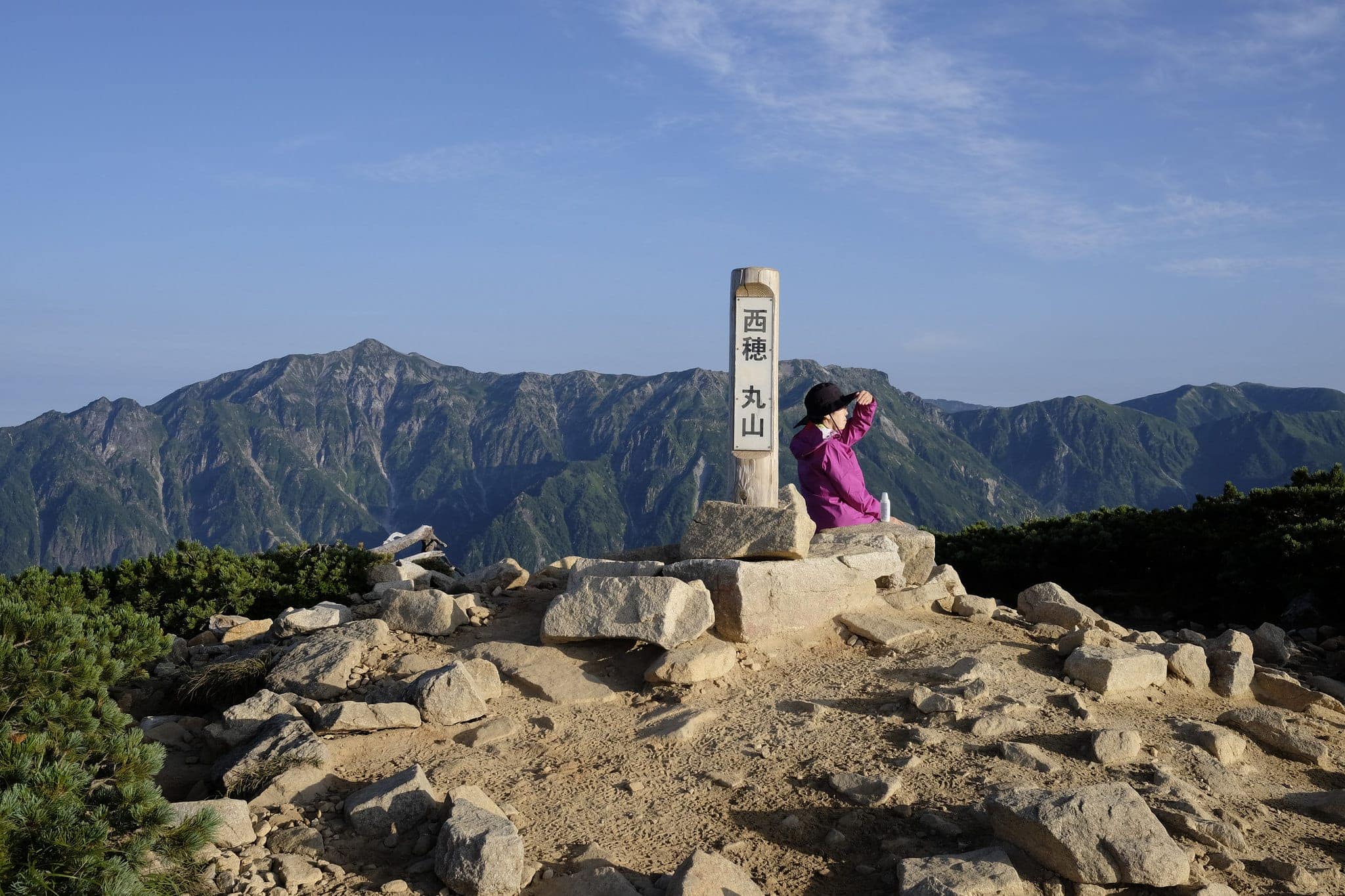
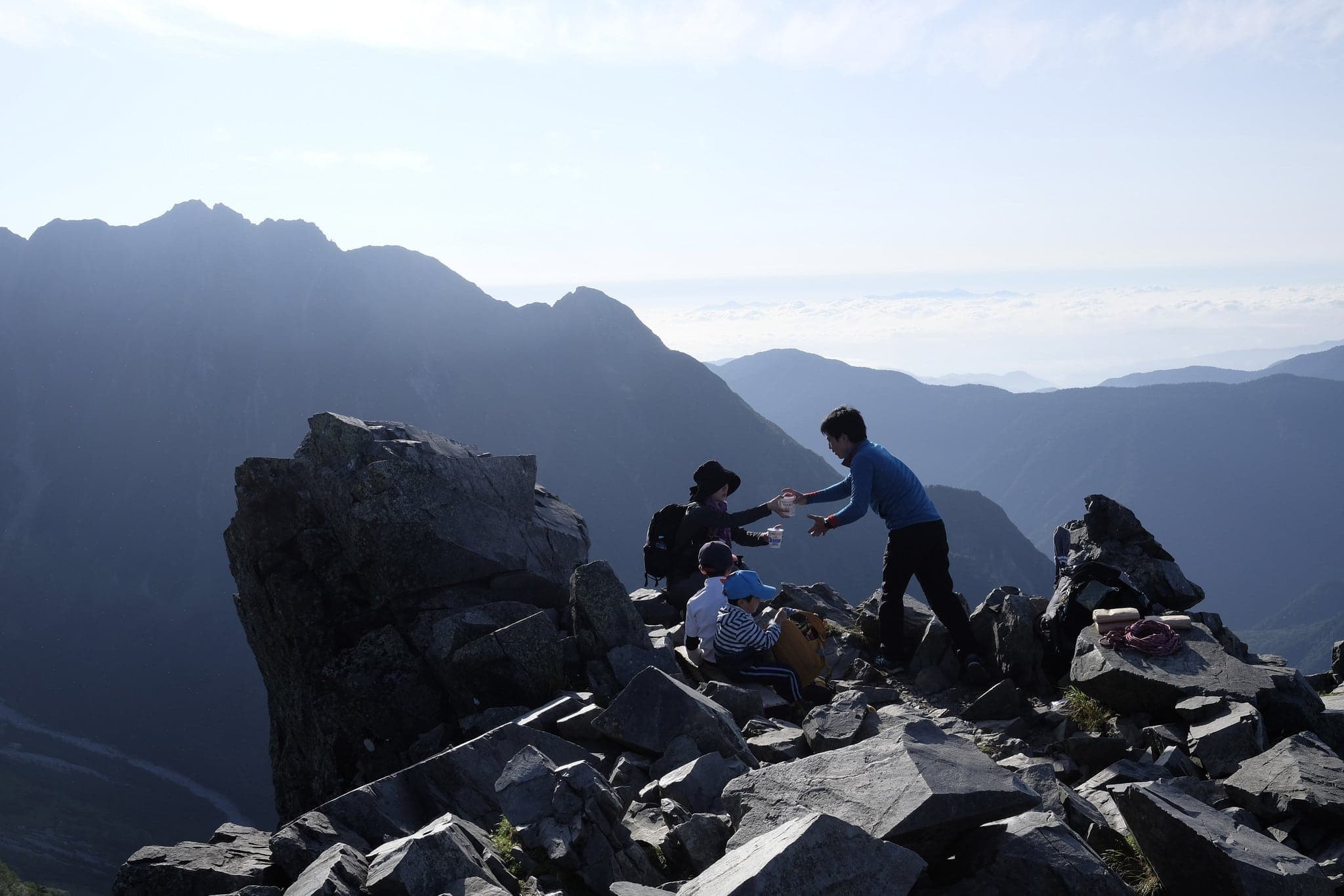
It was a beautifully clear morning and, as we made our way up towards the ridge line, we came across a couple of brave souls who’d slept in their sleeping bags outside overnight. I guess we’d been lucky to get a space in the campsite.
_DSF7931
_DSF7946
_DSF7947

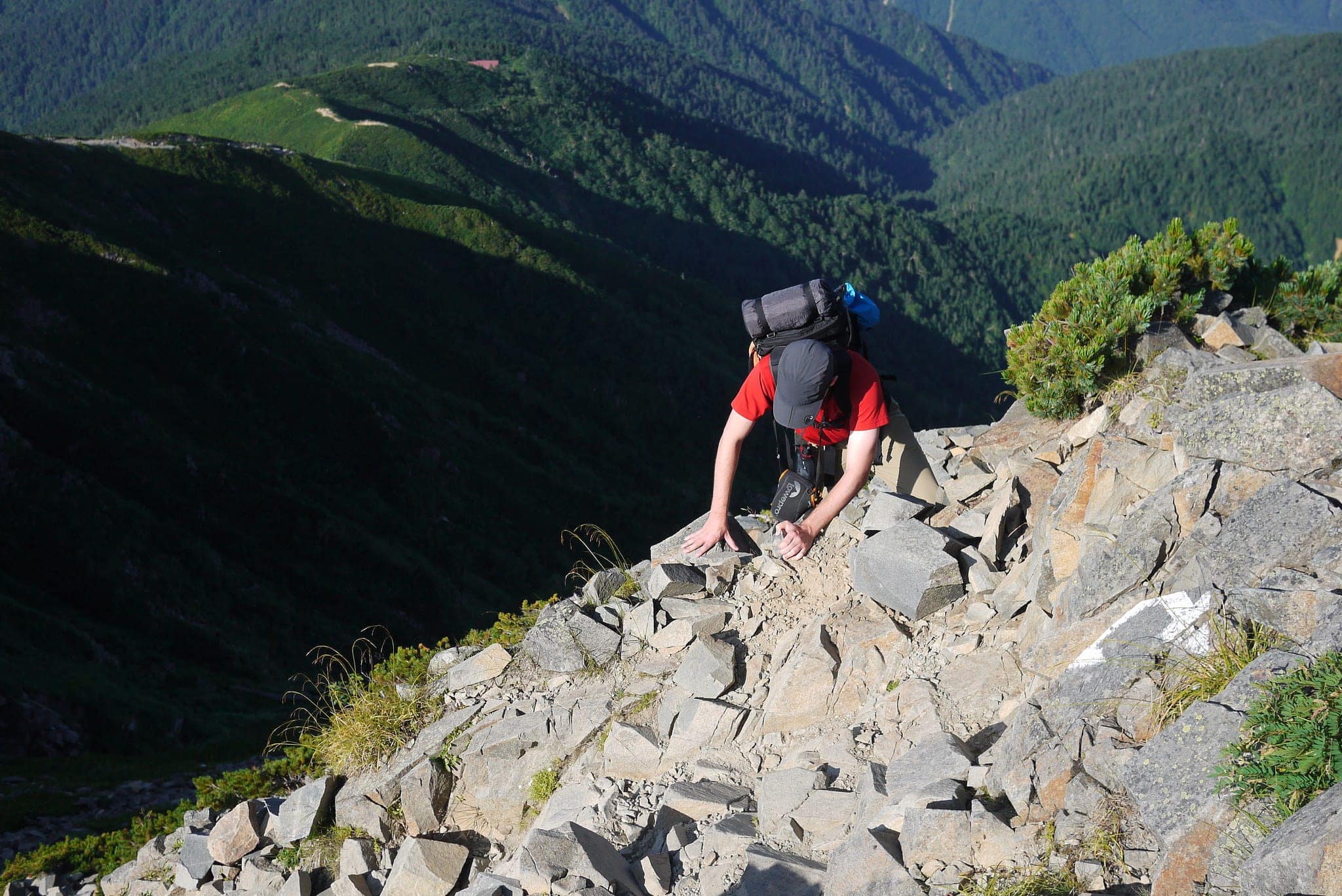
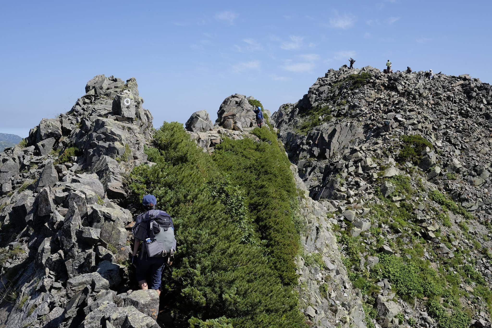
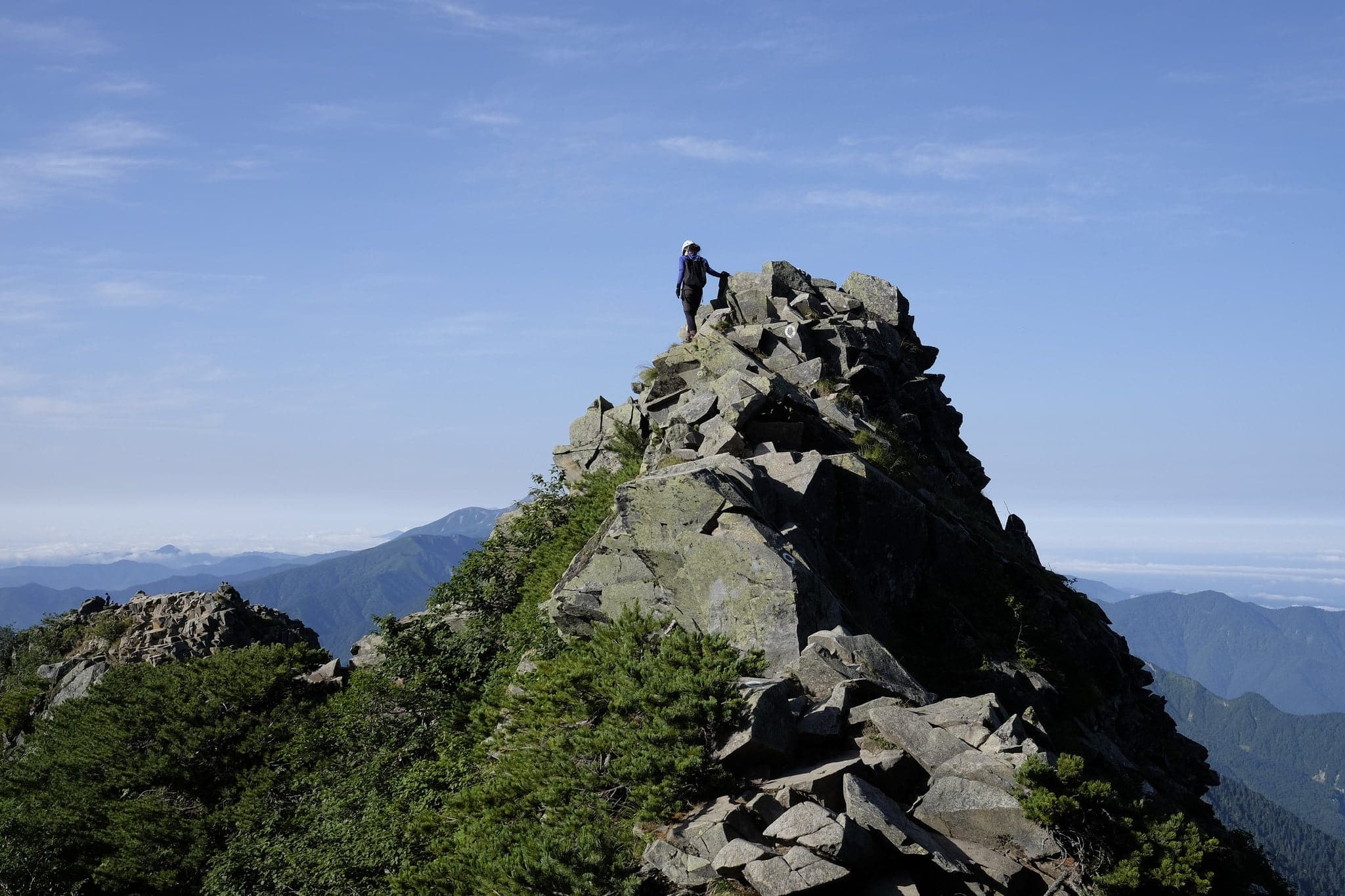
Pretty soon the view of the route opened up and the terrain became increasingly precarious. Another hiker who caught up with us asked if we’d hiked the route before and, upon hearing we hadn’t, kindly informed us that five people had perished here in recent history. This did nothing to calm my nerves.
P1100853

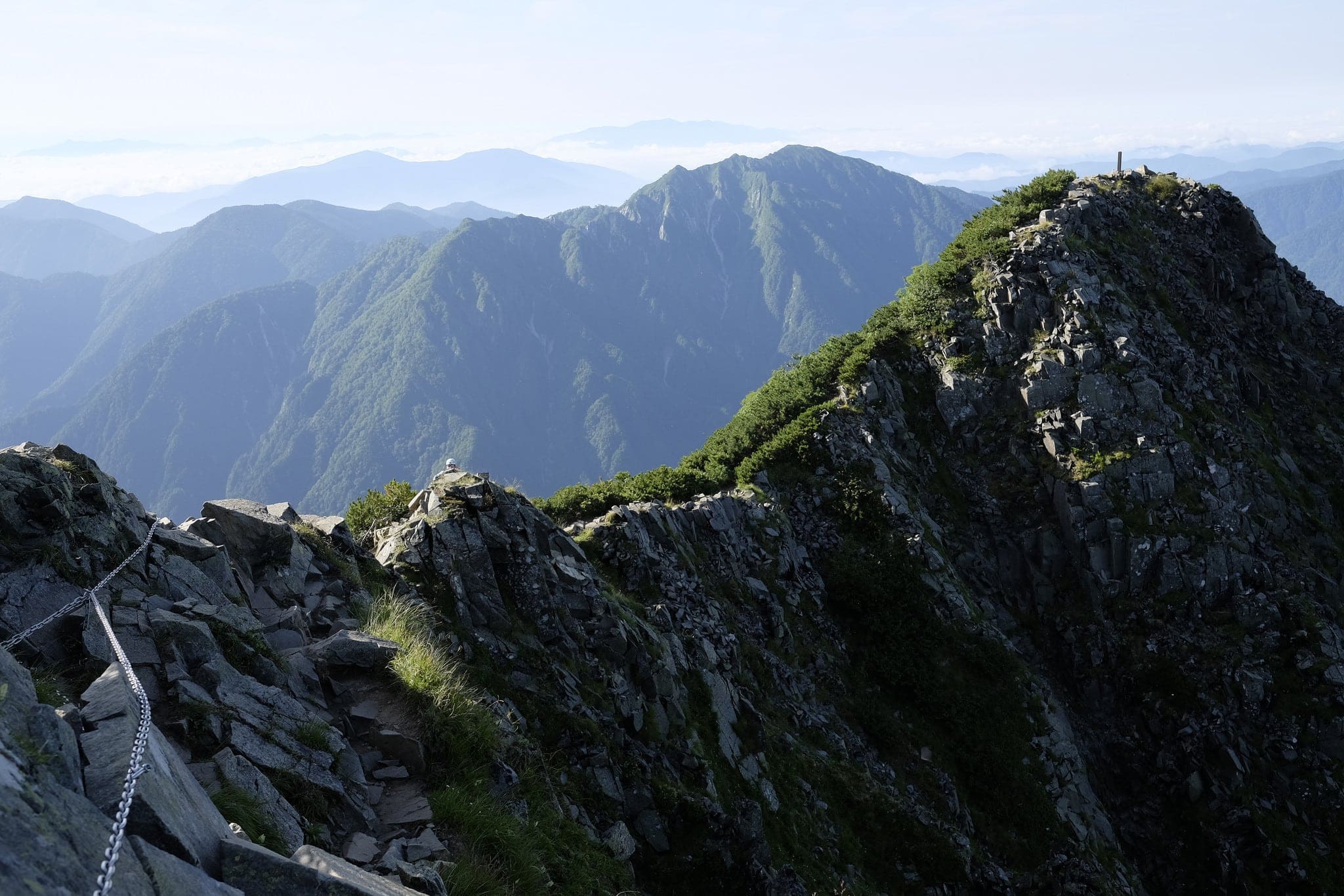
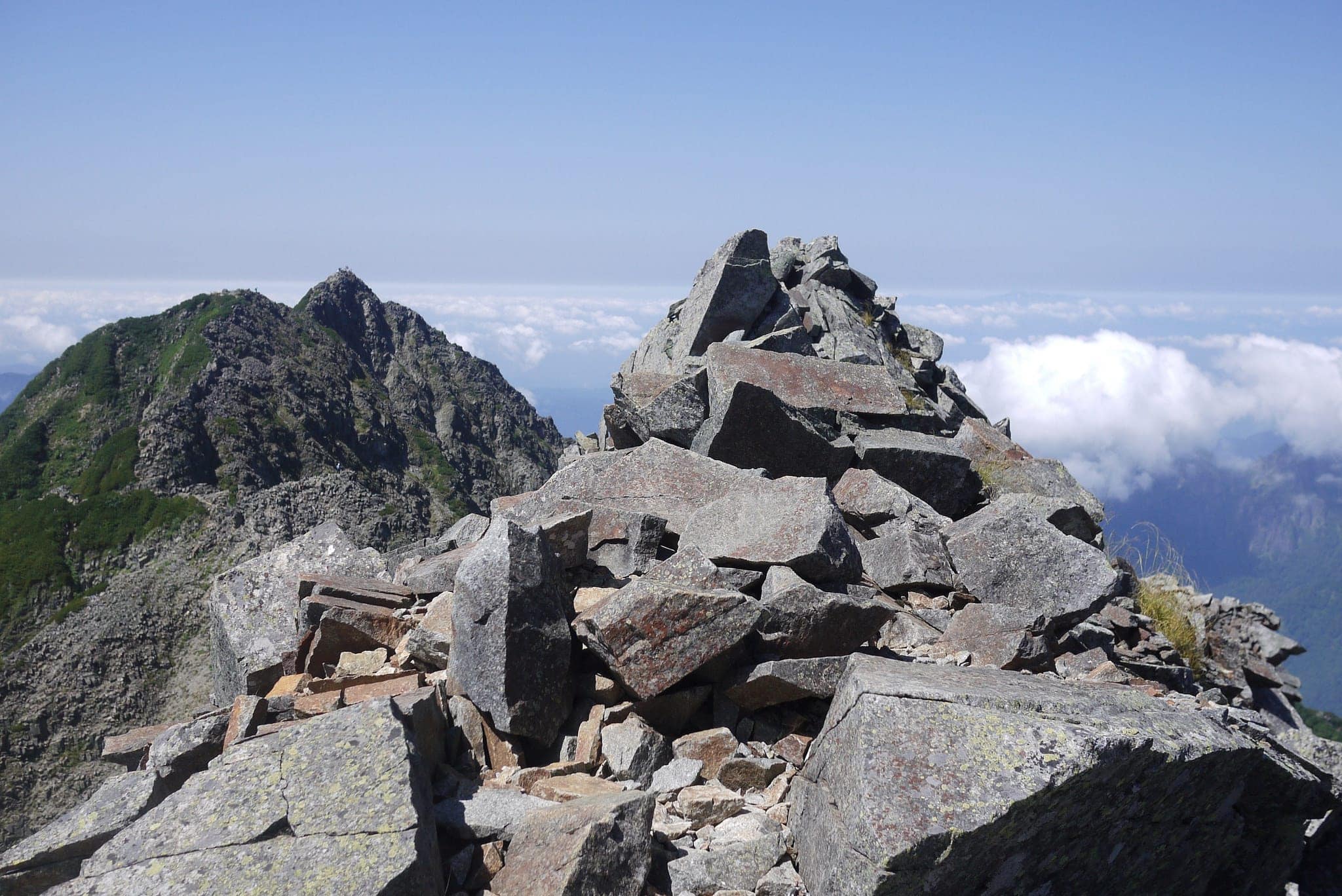
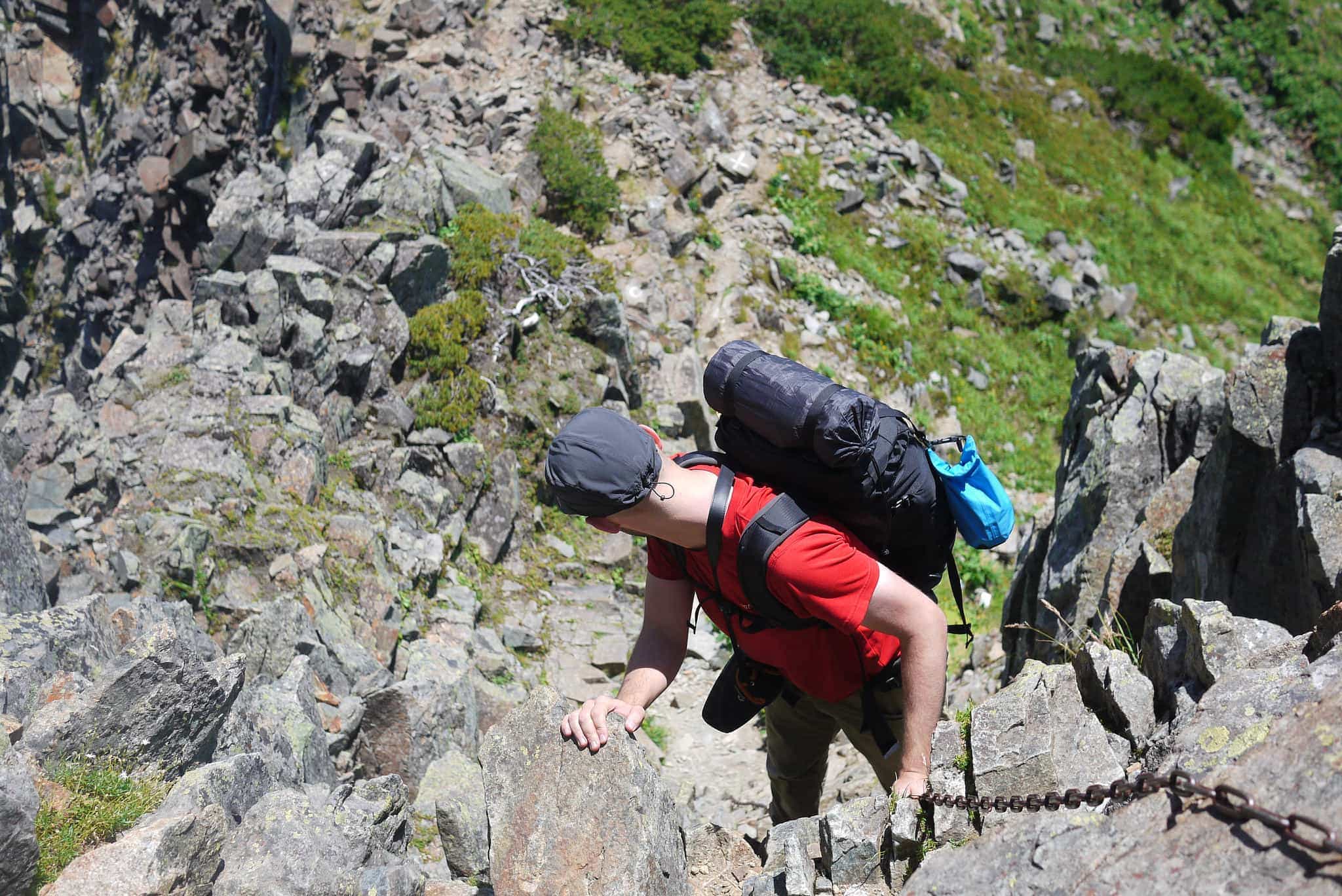
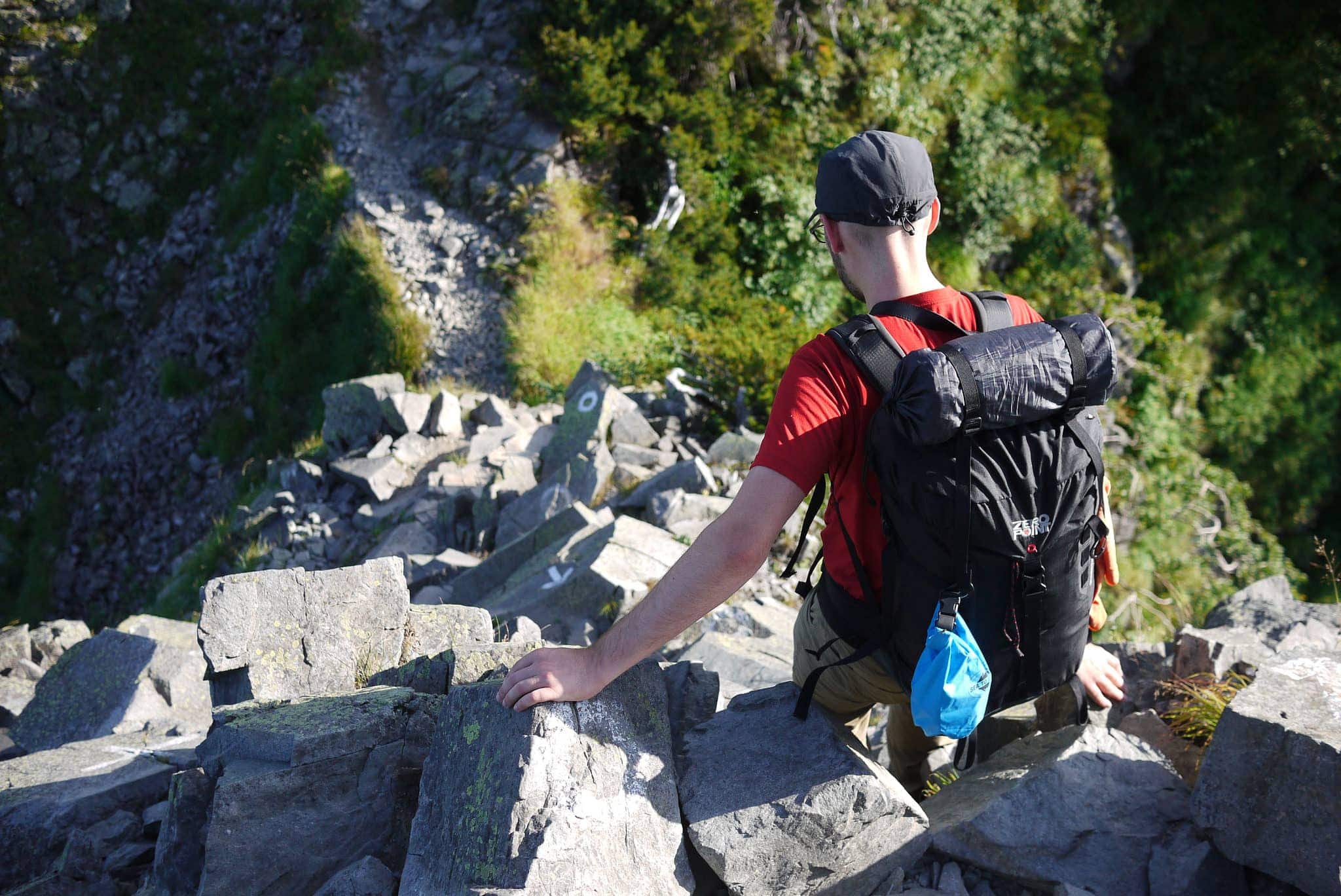
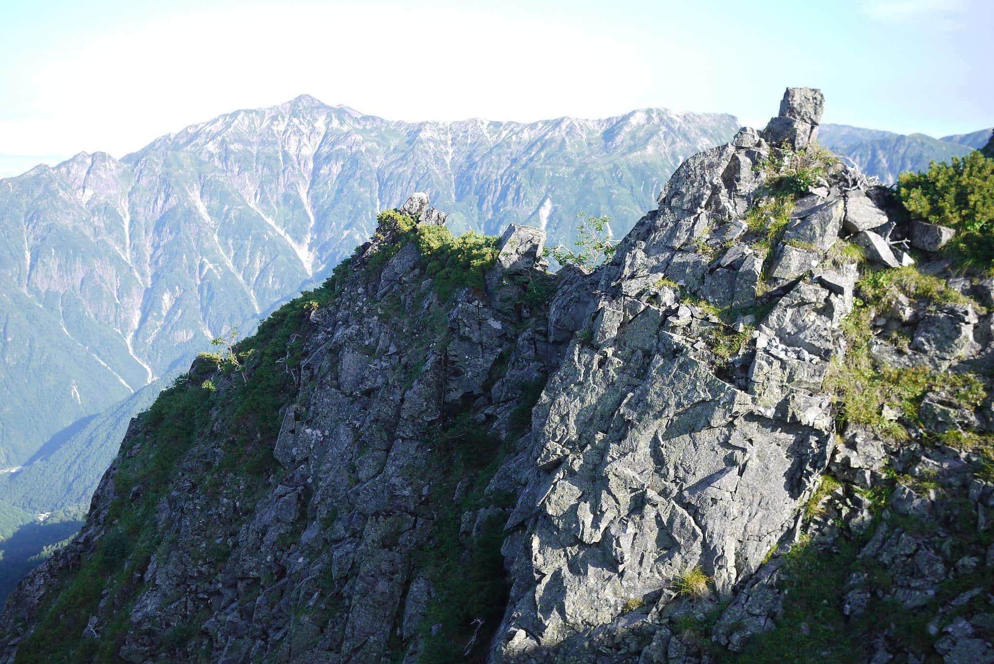
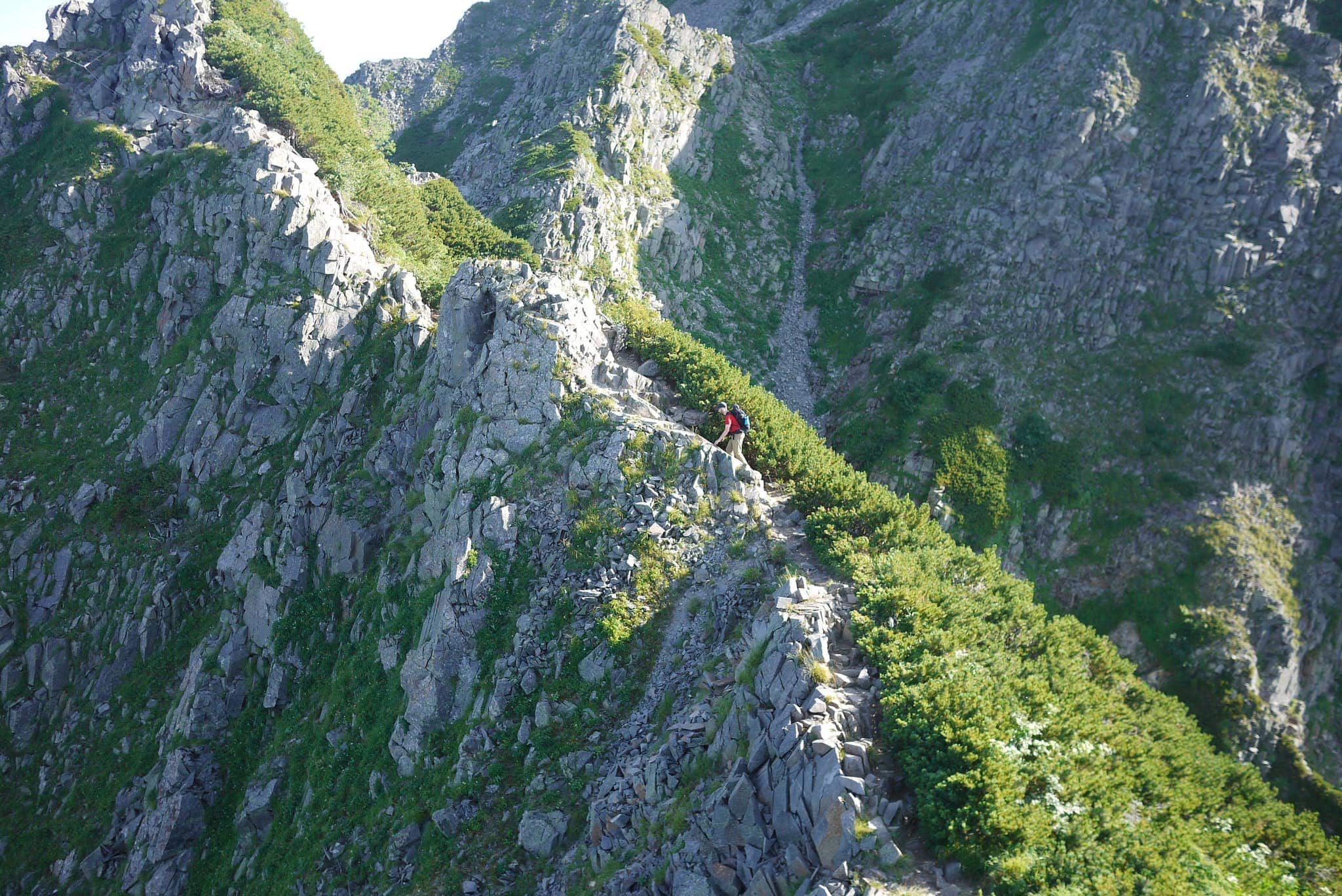
Even though we’d had some fairly hair-raising experiences at Yatsugatake (八ヶ岳) the previous year, this was on another level (quite literally as we would later find out). The entire morning was spent slowly moving across the ridge line negotiating multiple near-vertical ascents and descents one after another. Many of the people who passed were wearing climbing helmets.
P1100854
_DSF7960
P1100866

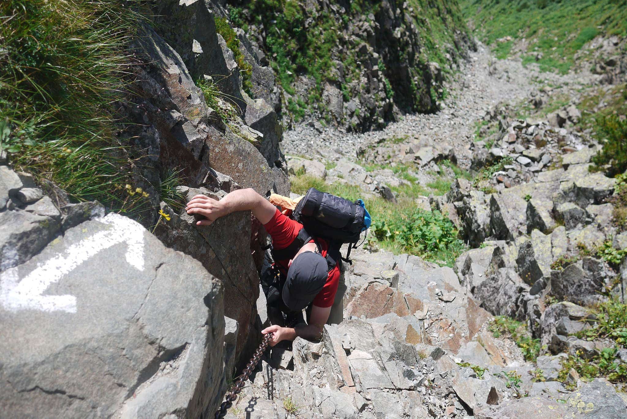
Hanging off old metal chains above 3000m drops, unclear where the next foothold was, our energy and water supplies quickly began to dwindle and I was beginning to question whether we would be able to make it to our intended destination of Hotakadakesanso (穂高岳山荘). It was clear that we’d underestimated how hard this was going to be.
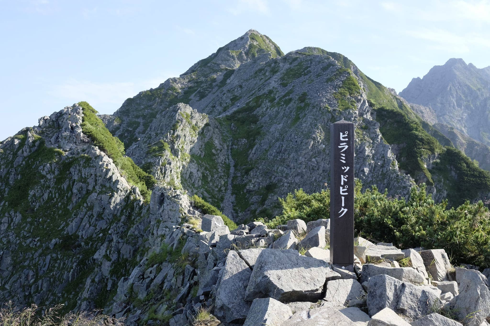
Pyramid Peak (ピラミッドピーク)
P1100875
_DSF7970

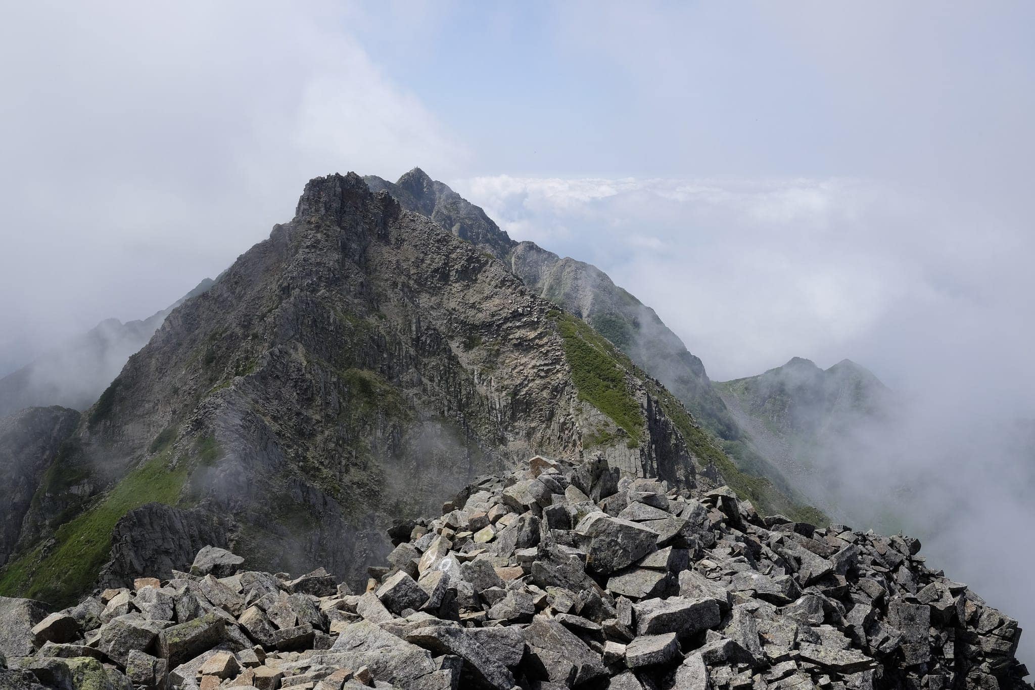
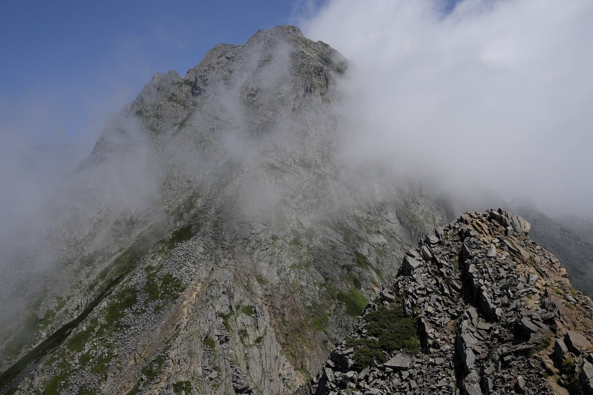
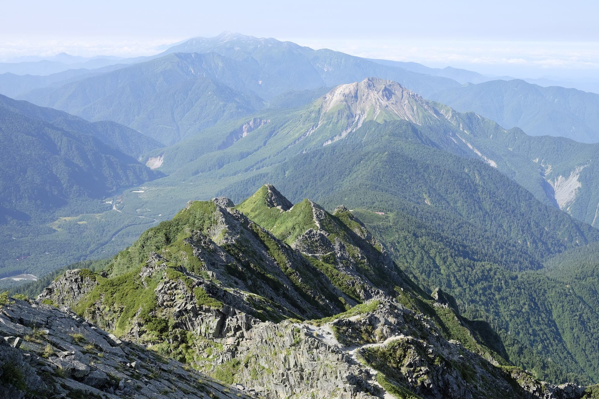
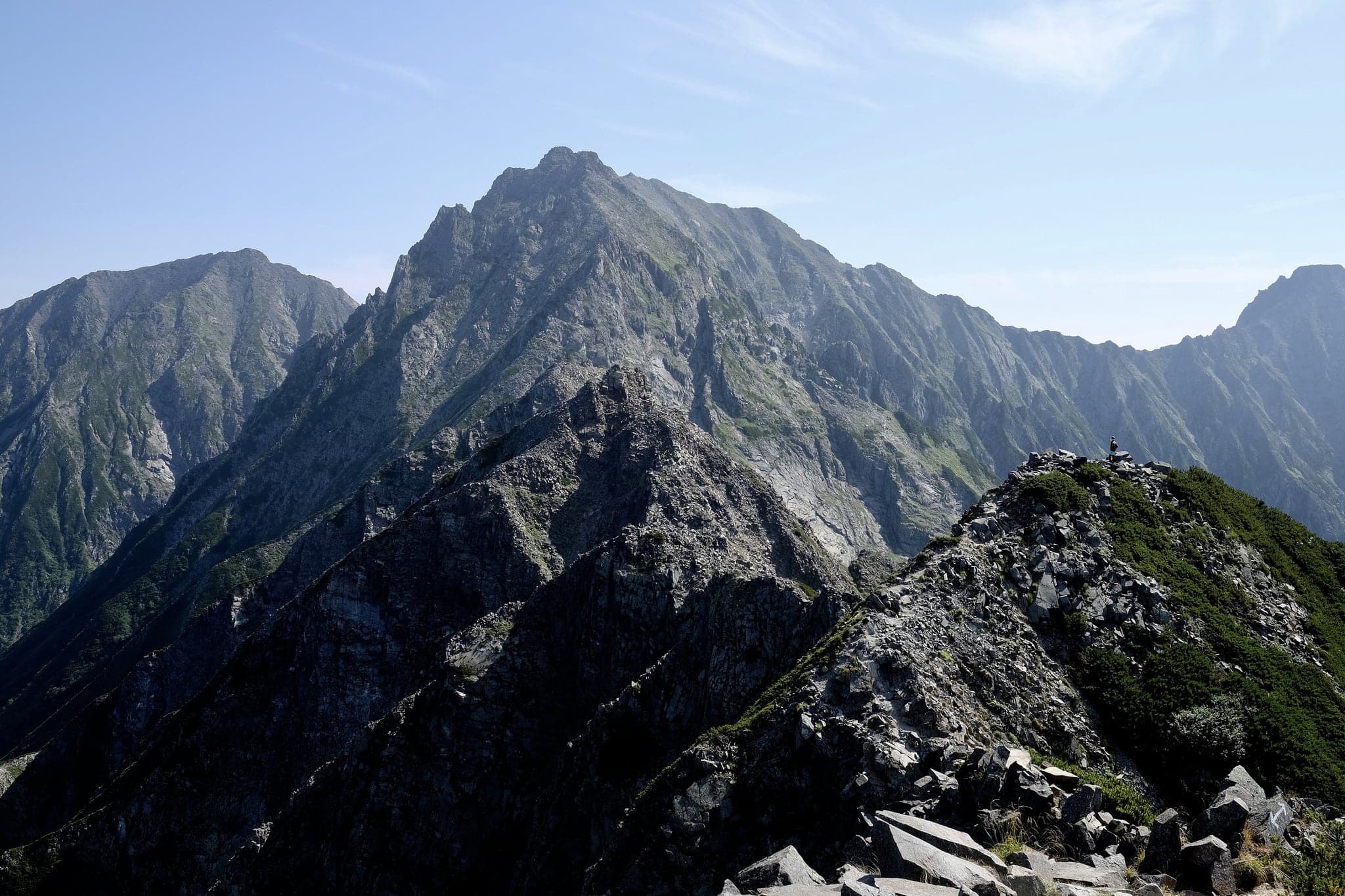
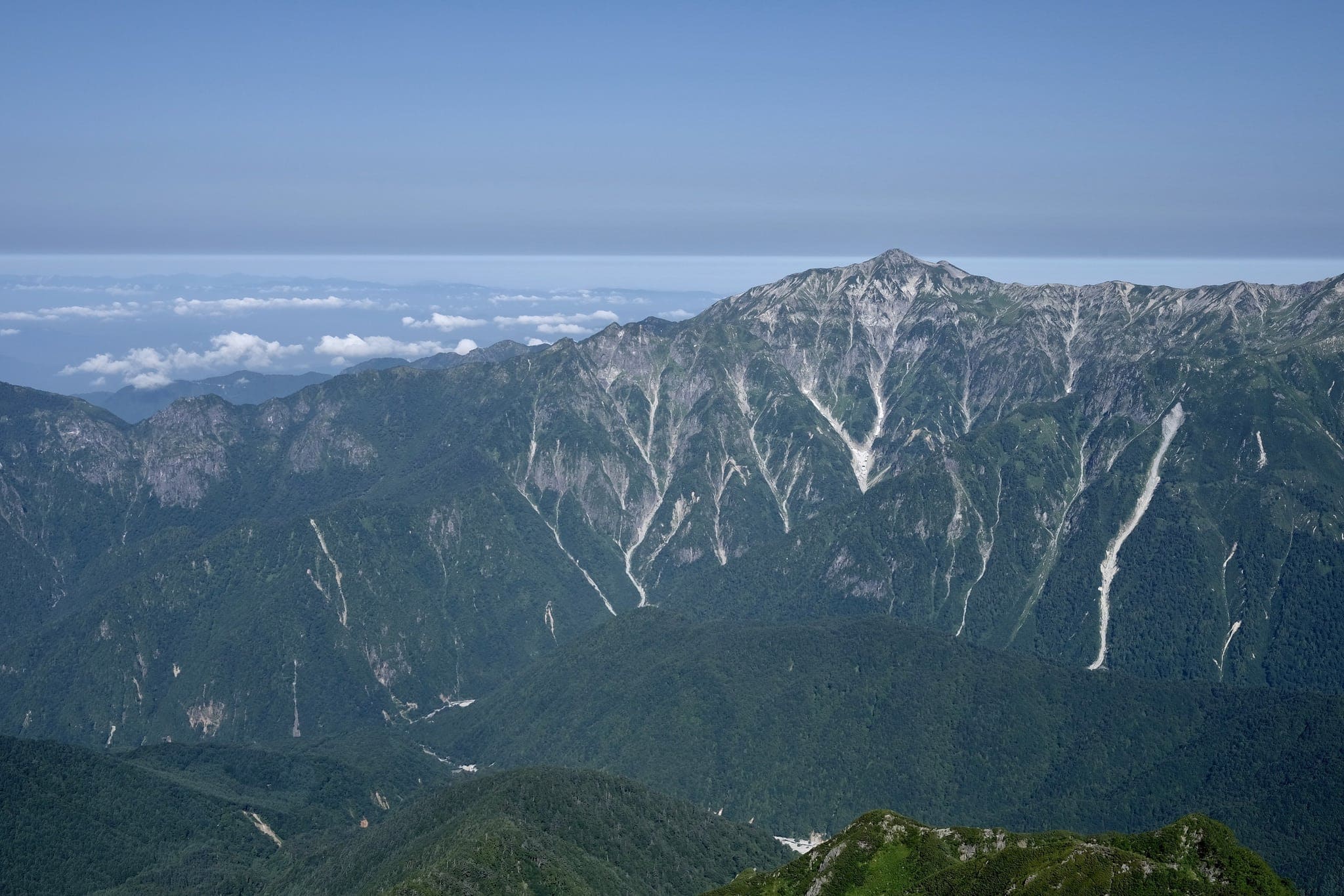
Despite the dangers, the scenery was second to none, with the enormous peaks around us passing in and out of dense cloud cover. Supply helicopters would sometimes appear seemingly out of nowhere passing by at altitudes far below us.
_DSF7984

The scale of the mountains was something to behold and the feeling of fleeting insignificance as you climb them is all too palpable.
_DSF7987
Don’t look down
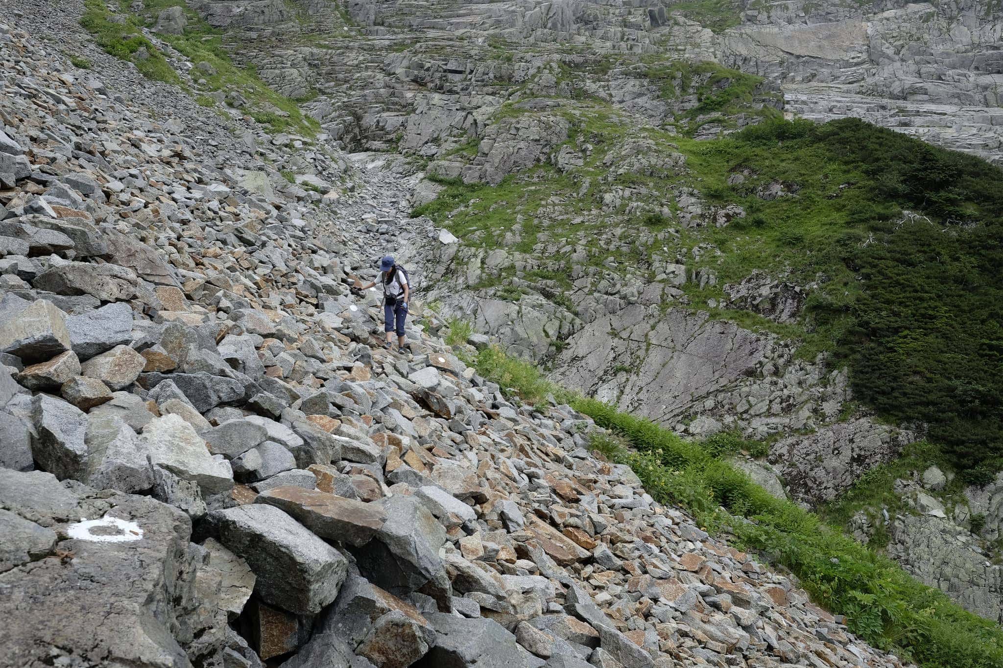
White circles mark the route
P1100896
P1100904
_DSF8007
_DSF8008

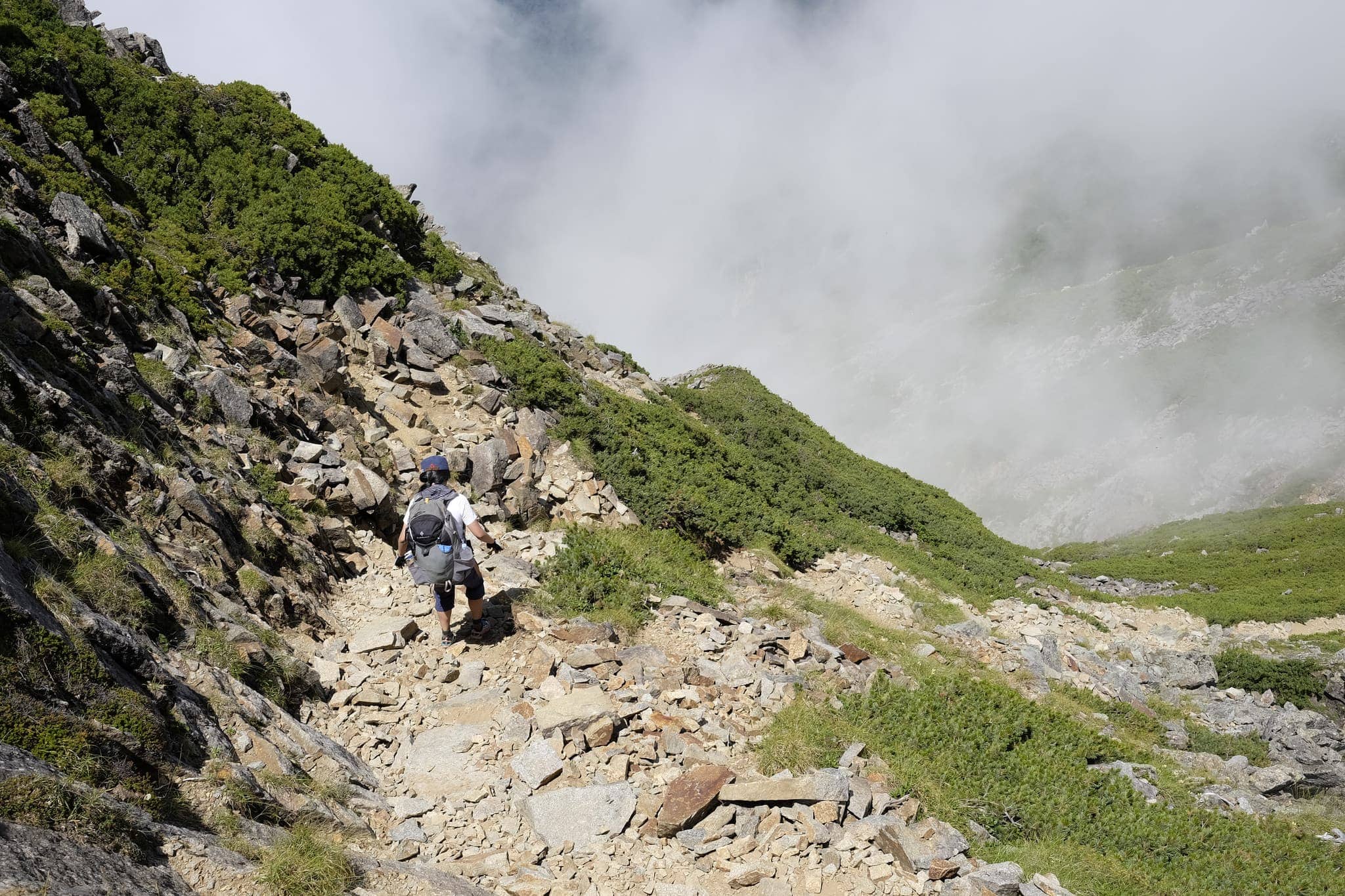
In the hot weather we completely underestimated how much water we’d need and approaching the highest peak in the range, Okuhotakadake (奥穂高岳), we ran out.
_DSF8011
_DSF8014
_DSF8018

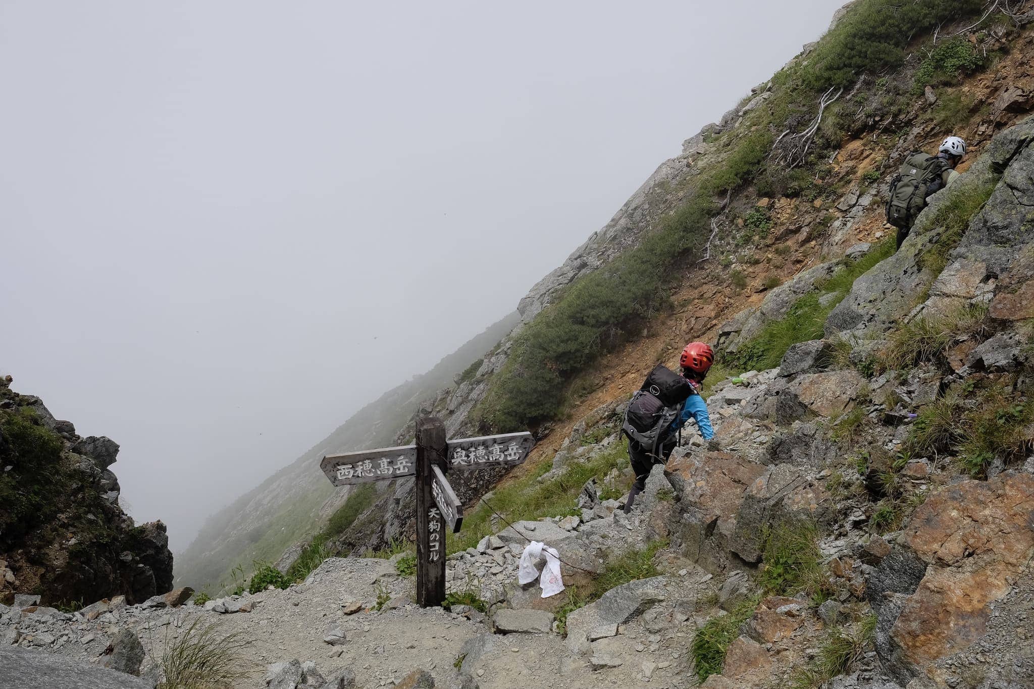
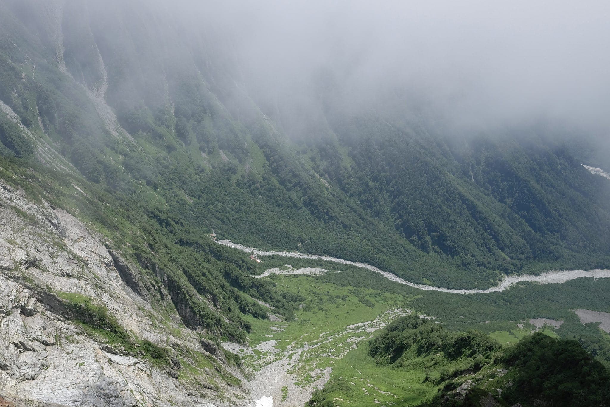
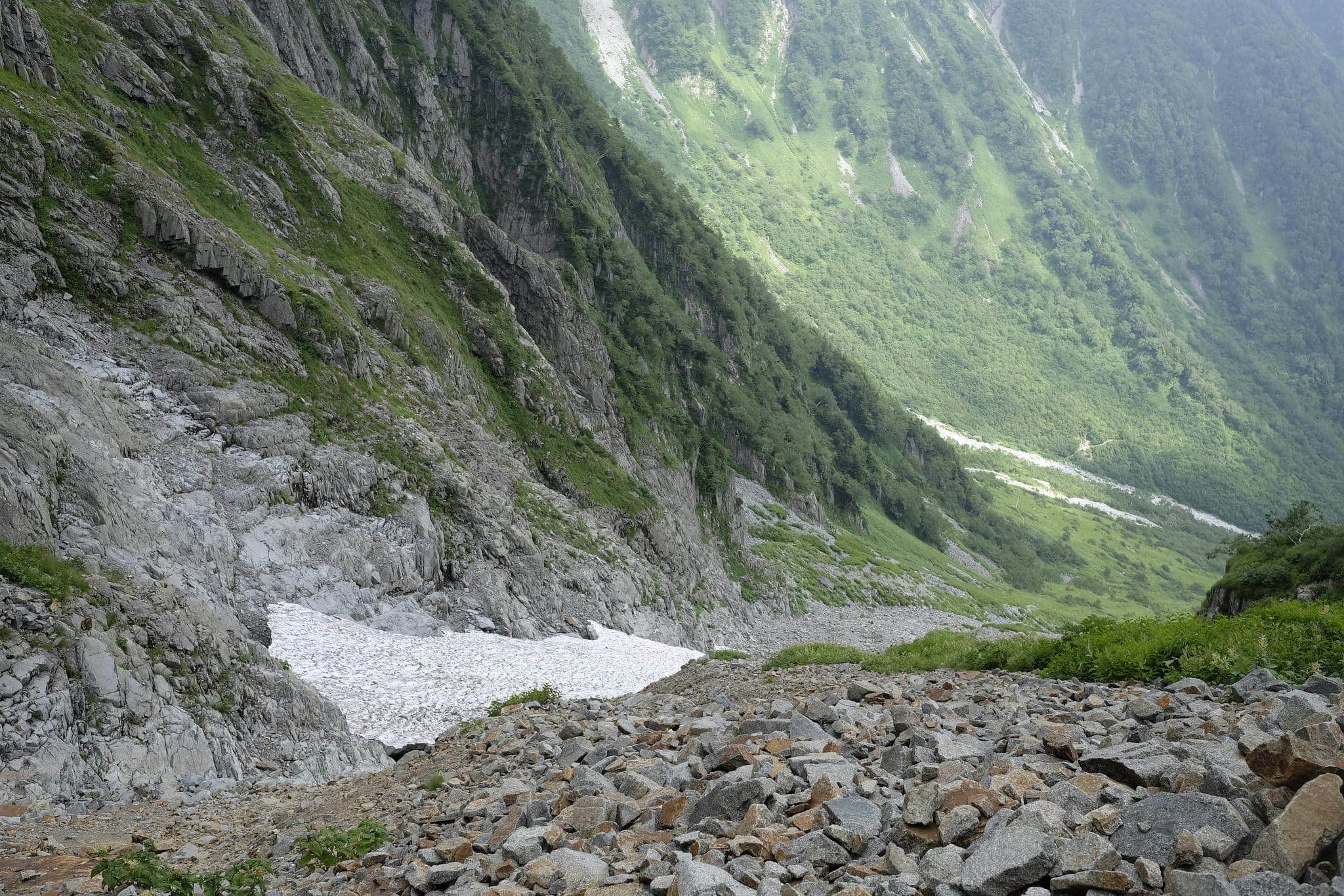
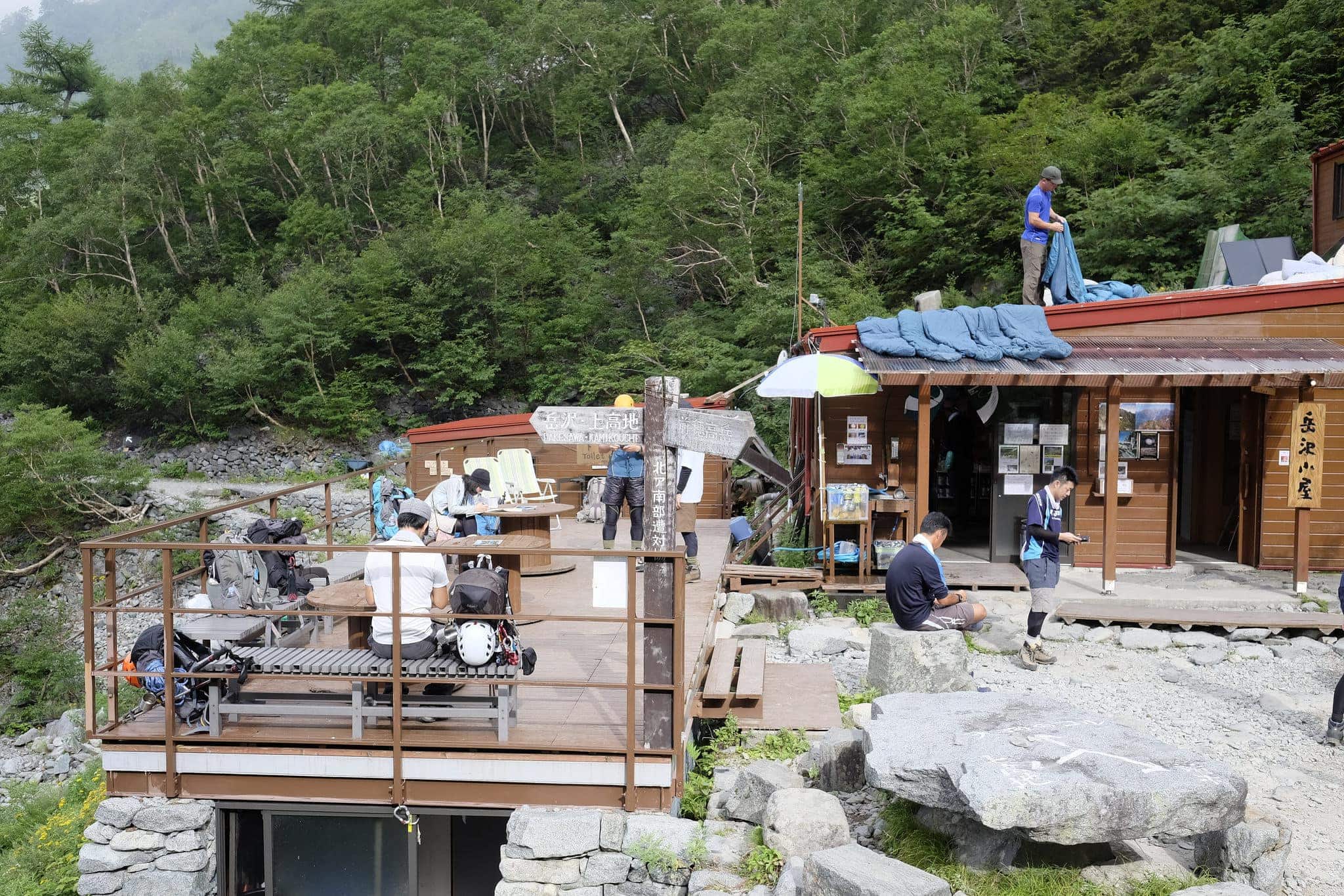
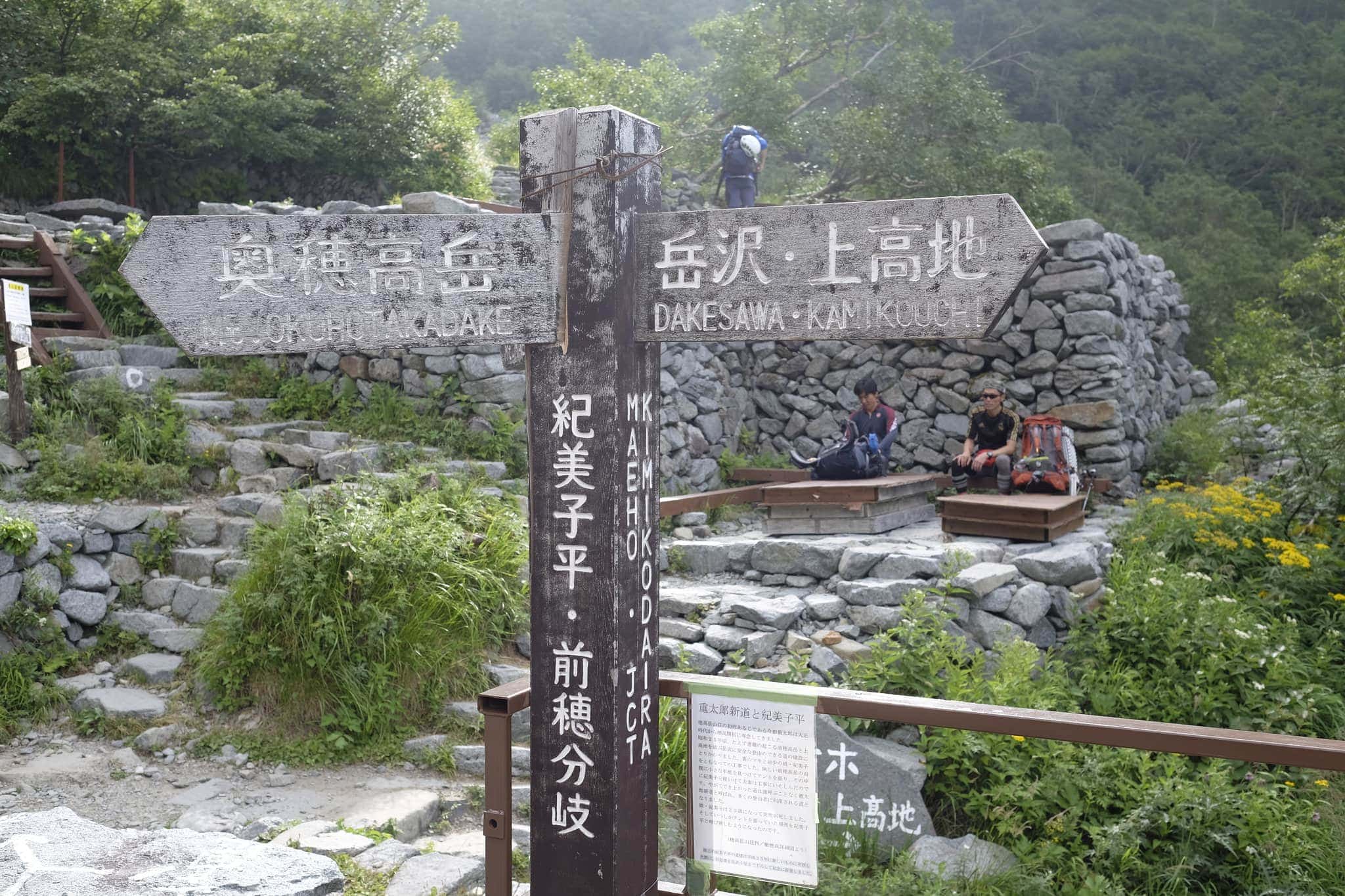
Without wanting to make a risky situation any more dangerous we took the executive decision to turn off the main trail at Tengu no koru (天狗のコル) and head down to Dakesawa (岳沢小屋) hut.
_DSF8022

Descending was easier said than done since the top part of the route was little more than a steep scree slope covered in loose boulders and we had to be careful not to slip and fall. In the shade of the valley, a large patch of compacted snow remained like a leftover glacial ice sheet.
_DSF8023

It was a tough three-hour trek down to the hut without any water which required a lot of concentration. By the time we made it around 4pm I could barely speak and wasn’t in the best of moods. After rehydrating we put up the tent and heated up some curry rice for a delicious early dinner.

Reading a sign in the hut we discovered that the route we’d attempted was rated as level 8 difficulty, whereas Yatsugatake was only level 4. We’d definitely learnt a few lessons from the experience.

Day 3 (4km)

Dakesawa → Kamikochi
_DSF8025

After a good sleep, the next morning we had a bit more of a leisurely start and began the hike down to Kamikōchi just before 8am.
_DSF8029
_DSF8036

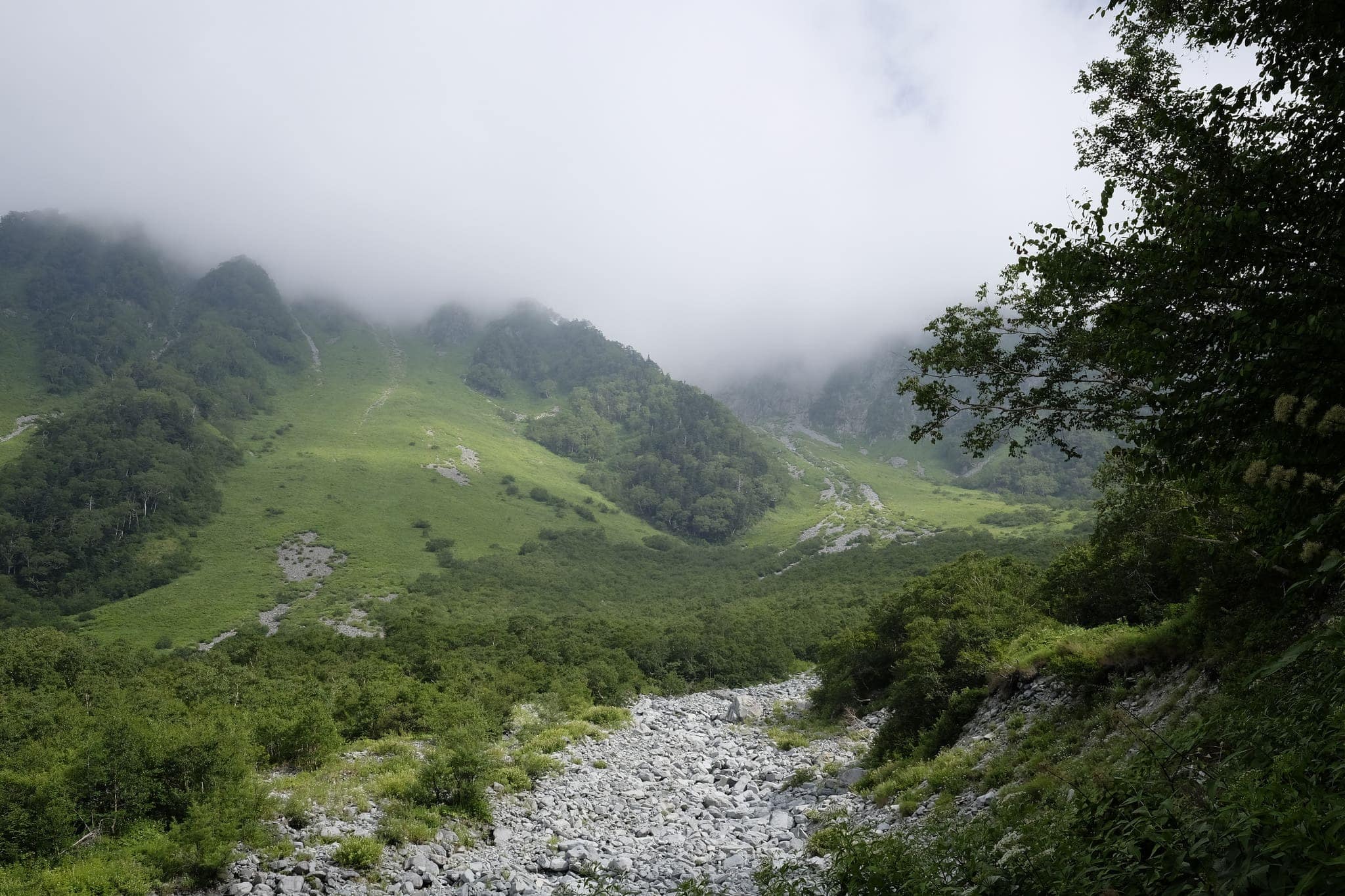
The route followed what appeared to be a dried up river bed and was fairly easy going.
_DSF8048

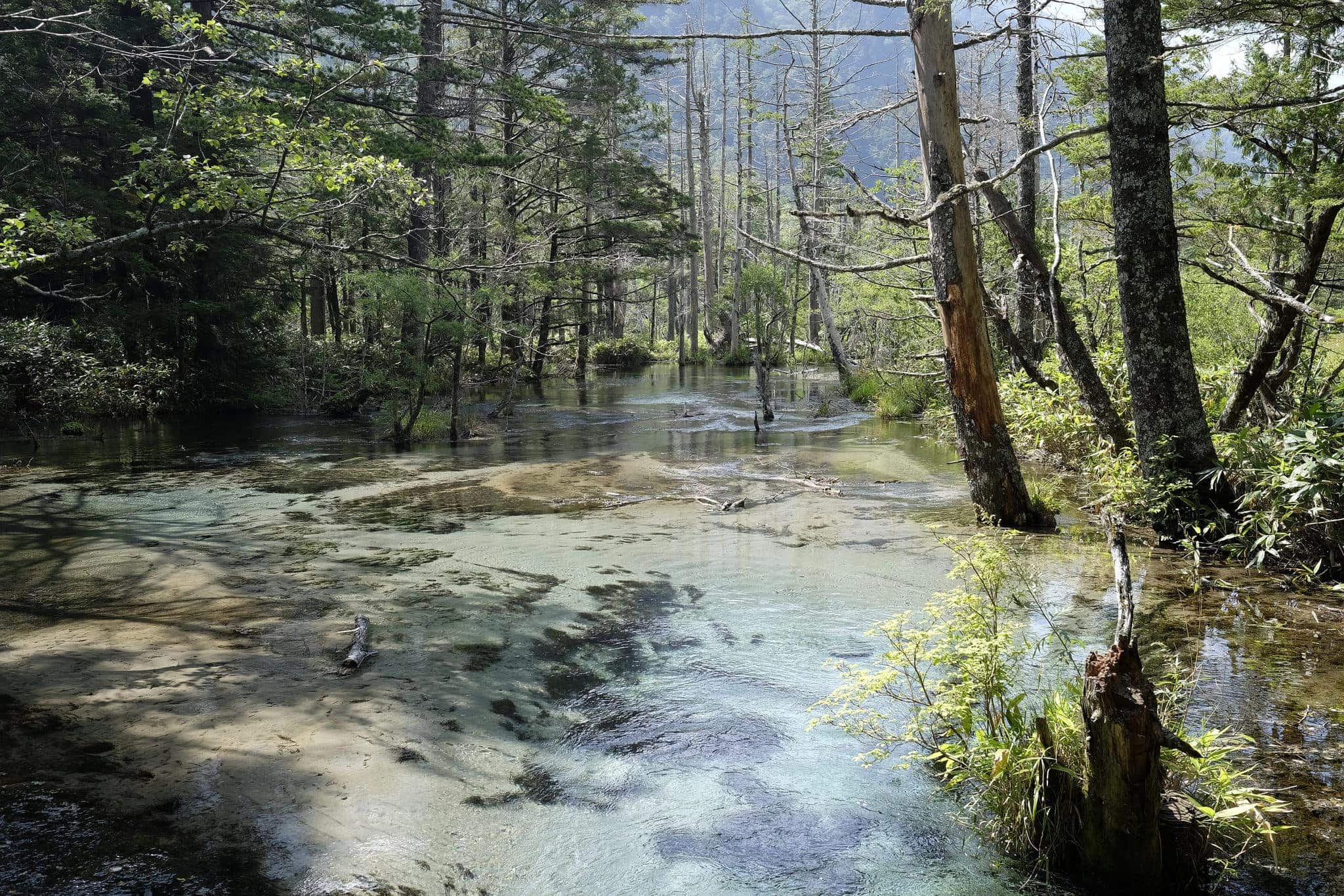
We arrived back close to where we started on Day 1 around 10am and enjoyed a nice walk through the primordial forest on our way toward the bus terminal.
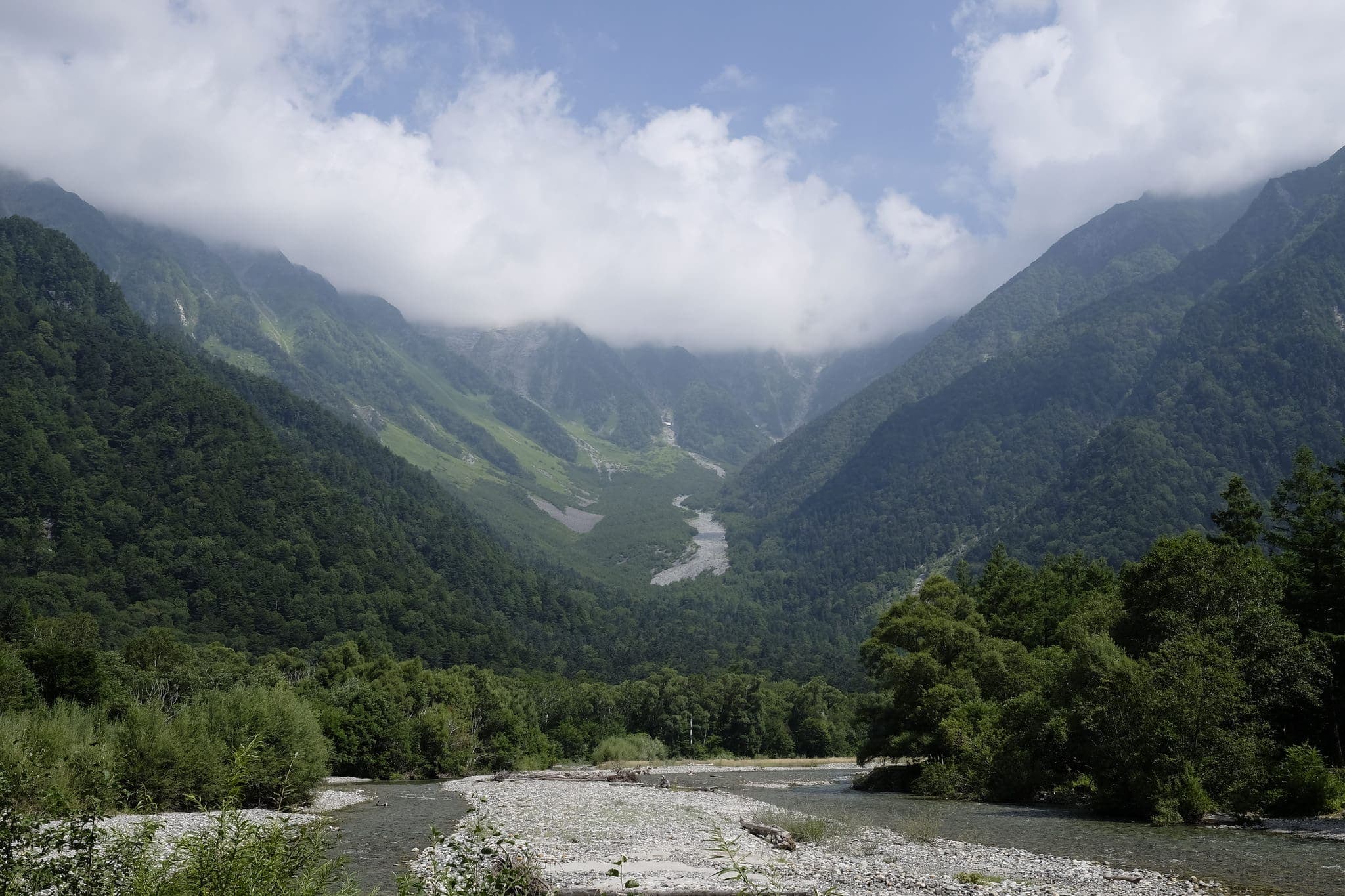
Mt. Hotaka and Azusa River from Kamikōchi

I felt a bit guilty that we’d not completed the full hike we’d set out to do but was happy to have made it home safely and now have a much better idea of what to do differently next time. I’m sure we’ll be back!

David avatar

14 responses

  1. Wendy avatar
    Wendy

    So so pretty thanks for sharing the photos.

  2. Dave avatar
    Dave

    Hey wow! What a great trip account and photos. And superb decision making to head to Dakesawa – I’ve researched your intended trip and the section between where you turned off and Hotaka looks significantly more difficult and dangerous than what you’d already encountered (it’s known as ‘Godzilla’s back’). You were also supremely lucky with your weather, last year we walked from Nishiho sanso up to Pyramid Peak (2909m) and then along to the turn off to Dakesawa in light rain and the rocks and chains were very slippery! The past couple of months have also been very wet, with the odd typhoon, so imagine what your day would have been like in bad weather (and without those awesome views)!

    You’ve brought back great memories from our trip last year and made me really excited for my planned trip up Hotaka in a few weeks.

    1. Thanks Dave – looking back I’m a bit disappointed that we didn’t reach our goal but I remember being fairly terrified at the time!

      I hope you have a good time on your coming trip – will you be camping? I guess it’s almost the end of the season so hope it isn’t too cold/wet.

  3. Dave avatar
    Dave

    I understand your disappointment, I didn’t want to turn back along that ridgeline when I hit my turn around time. But having the ability to set aside a goal because of unforeseen circumstances is important (and healthy).

    I do plan to camp, at Dakesawa in fact – I’m still not sure how much camping they have there though? I hope to avoid having to squeeze in like you did!

    It will drop below zero at night, but I’m hoping for clear blue skies during the day!

    1. Dakesawa has quite a lot of pitches and an overflow area so I think you should be ok, especially since it’s the end of the season.

      Wrap up warm and be sure to update me on how you get on! Good luck 🙂

  4. Dave avatar
    Dave

    Well…… my attempt on Hotaka didn’t go to plan….. being the end of the season not only was the hut closed but the bus from Matsumoto doesn’t run as often (cue an unexpected 1.5 hour wait). Along with the additional weight of food and water I had to carry (because I couldn’t resupply at the hut) I made it up to Dakesawa several hours later than planned. As such I spent my 2nd day doing a day hike up the spur above Dakesawa leading up a bunch of ladders and chains to excellent views (Norikura and Yakedake especially). In early November there was thin snow to around 2100m and ice patches from around 2300m. This also contributed to my decision not to make a summit attempt this time.

    Dakesawa hut is an excellent spot and David is right, there is heaps of overflow camping (about 20 sites) uphill and across the scree slope from the hut. The trail to Dakesawa is very straightforward and involved no ladders or chains. A note for late in the season (November) – a night out alone meant not much sleep due to concerns about bears in the area. I had the place to myself and found it unnerving. Although the campsites in Kamikochi are closed others were camped there (around 12 tents). I have no idea whether there’s a risk of being moved on by a ranger (or equivalent). Note that there is limited food in Kamikochi but they do sell gas cylinders and some other camping supplies at the information office.

    1. Thanks for the update Dave, sounds exciting even if the circumstances/weather were a bit against you! I think you were pretty brave to go up there out of season. How heavy was your bag with all the extra food?

      I’m looking forward to going back there next year but want to find a route which is a bit less hair-raising. I don’t mind chains or ladders but don’t want to do anything which is especially dangerous or requires a hard-hat.

  5. Dave avatar
    Dave

    It certainly was exciting, but also extremely beautiful to have it to myself. My bag was around 15-17kg with two and a half days of food, 6L of water and all my camping and cold weather gear. Originally I planned to keep my bag to about 10kg, but also didn’t want to get caught short or be forced to return due to lack of supplies. The weight of my pack wasn’t what turned me back early though, I was surprised at how few people were out that way at the end of the season and thought it’d be irresponsible to push on alone without instep crampons at least and risk running into trouble by myself. I also knew that the bridge between Karasawa and Yokoo had been removed so if there had been unexpected snow my only other feasible route of retreat was closed off.

    It definitely reinforced that unless you have recent and accurate information from a local you need to be prepared to adapt. A month ago I was worried about crowds and instead the huts, lodges and campsites were closed, bridges and ladders were removed on some routes and there was barely anyone around.

    Up to around 2500m above Dakesawa there are a couple of tall ladders and some chains but nothing difficult or scary. After that, I can’t say for sure.

  6. Jarek A avatar
    Jarek A

    Hi David, Im planning to go for similar walk first week of July. Do I need crampons and iceaxe? Maybe better to attempt Hotakadake from Bus terminal via Dakesawa Camp and if conditions are good AND there is enough energy trying to come back via the dificoult route you where ascending. With the easier option to come back on my footprints …if needed.
    Im a bit worried about the water issue – there are no streams on the way, do they have water in campsite, they must? Don’t they? Is there an option to sleep in the hub? or only own tent ?
    Wil be very grateful for any more info. Will be traveling from Tokyo and have 3 days only. Get there, walk and come back. Thank you J

    1. Hi Jarek,

      – I think the snow will have melted in July so no need for crampons or ice axe but you might want a helmet
      – No streams along the way but you can get water at the campsites/huts
      – You can pay to sleep in the huts (around JPY 8,000 per person) but book in advance

      Good luck with your walk!

  7. Jarek A avatar
    Jarek A

    David, thank you. I gave a call HOTAKASANSOU a week ago. They said there has been a lot of snow this winter and advised to take snow gear. Will call again before departure. Helmet – sure – thanks for advise, specially after earthquakes last week. Also got and extra bottle for water – just in case. Will use tent – a lot cheaper option a the end. Heavy thou.. Probably will rain all three days, but that, one can not change. Hope to have a bit of your views experience.
    Will let you know how it goes. Also, excited to inaugurate my new rucksack! Hey…!
    J.

    1. Wow, good luck, please do let me know how it goes! I’m planning on heading back there later this year too 🙂

  8. Alex avatar
    Alex

    Great report the route. Very much appreciated. I’m gunna try it in a month. I have a question though. If you’re camping on these huts can you eat the food they cook up? Or is it only for those sleeping in the huts?

    1. Hi Alex – thanks for the comment!

      You can pay to eat in the huts but be sure to book a day or so in advance. Good luck with your trip 🙂

Reply

Your email address will not be published. Required fields are marked *