Back during the height of summer last year, we decided to spend a few days hiking in the Hida Mountains, also known as the Northern Alps, in Japan.
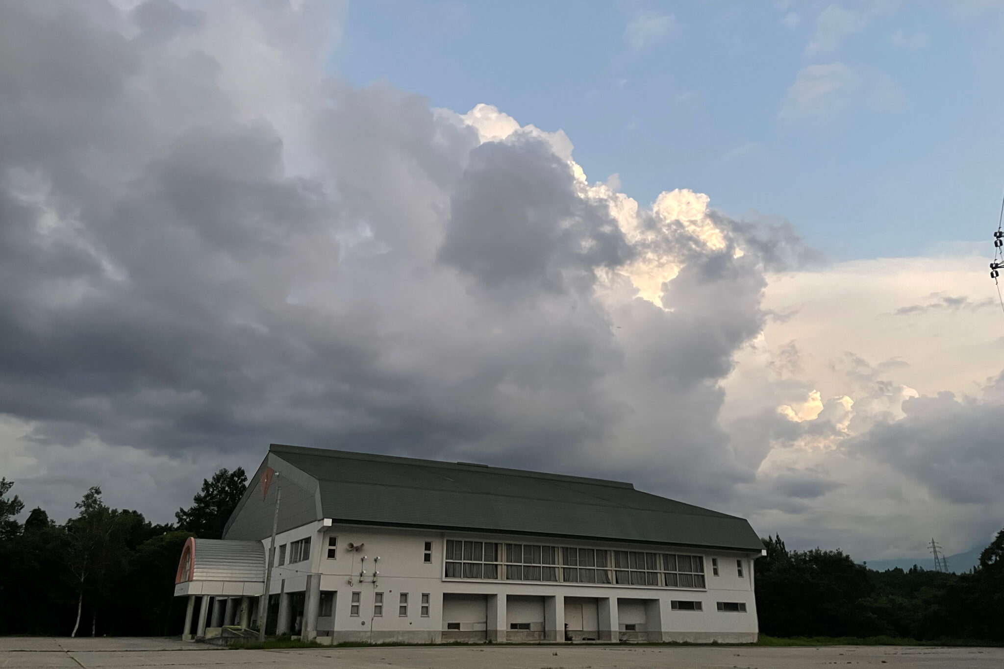
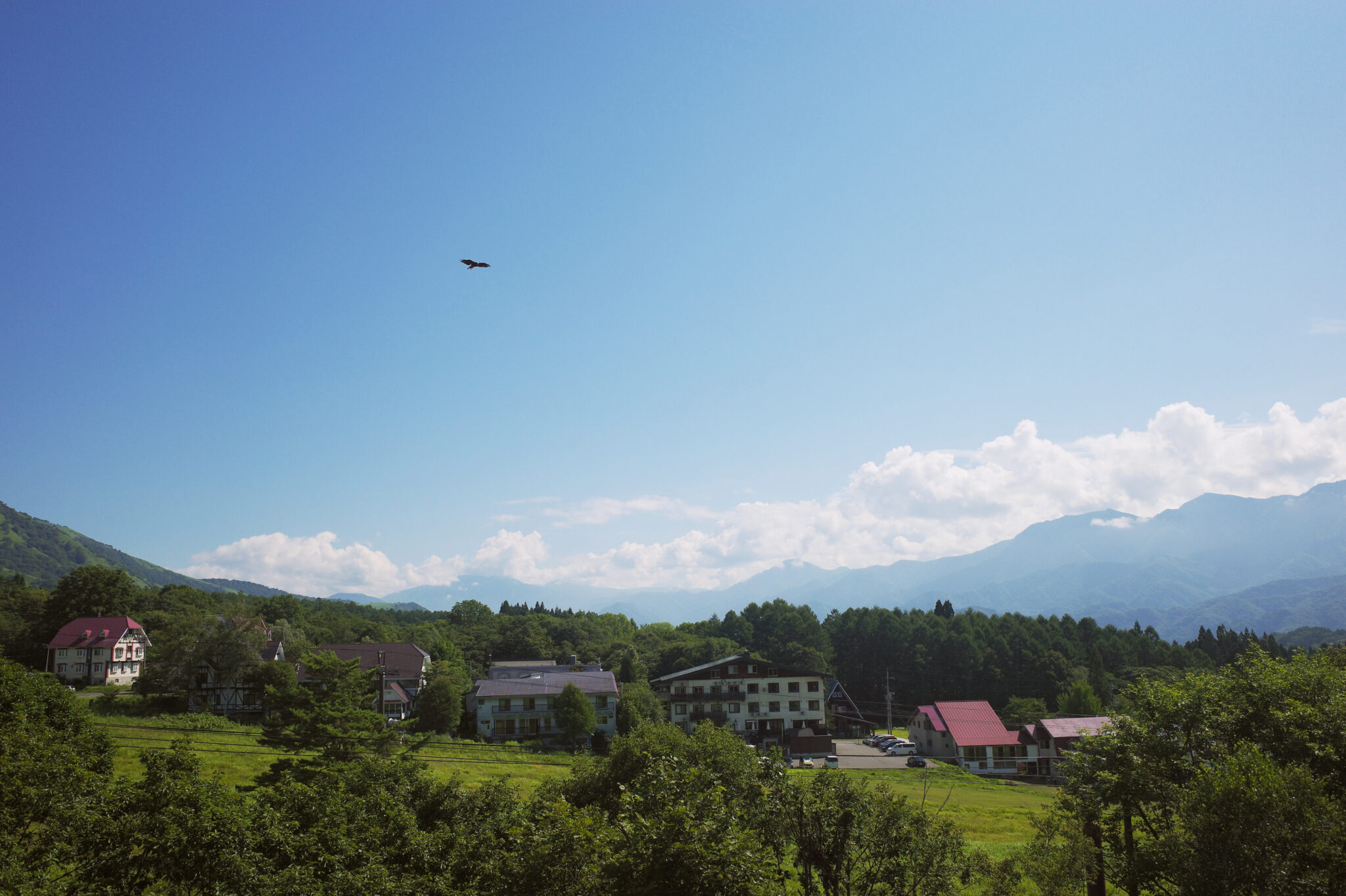
Taking the Shinkansen bullet train from Tokyo to Nagano, and then a bus to Tsugaike Kogen (栂池高原), we headed to Hakuba (白馬村) which is a popular ski resort town during the winter but feels decidedly down-at-heel out of season.
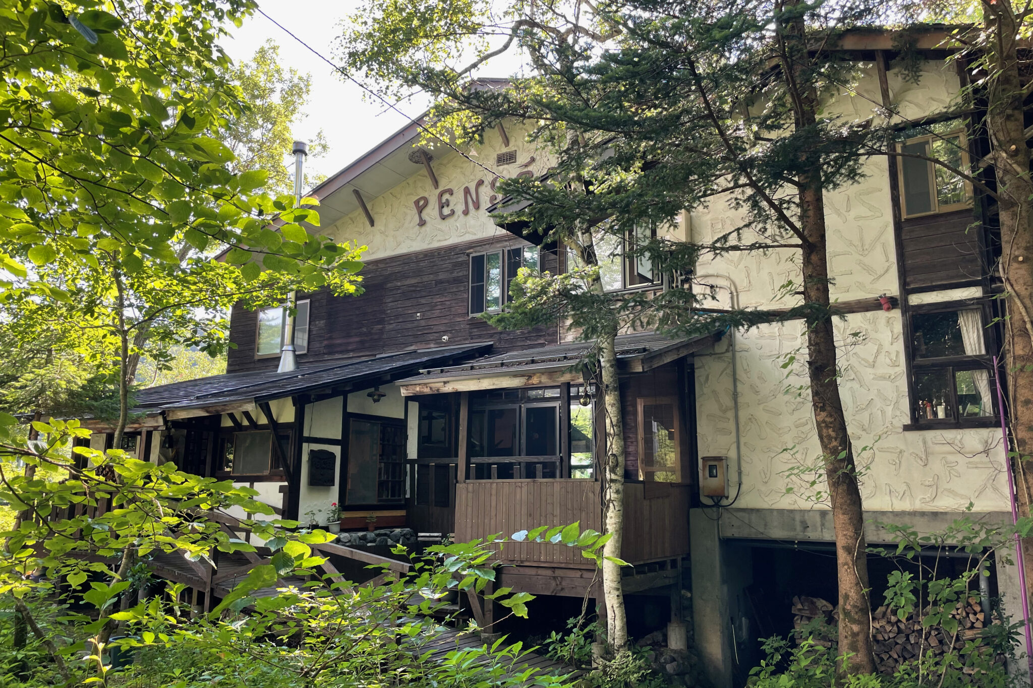
We stayed overnight at a rustic lodge run by an older couple who had opened it 45 years ago. They served a surprisingly elaborate fusion of Japanese and French cuisine for dinner. We felt well-fed for the journey ahead!
Day 1
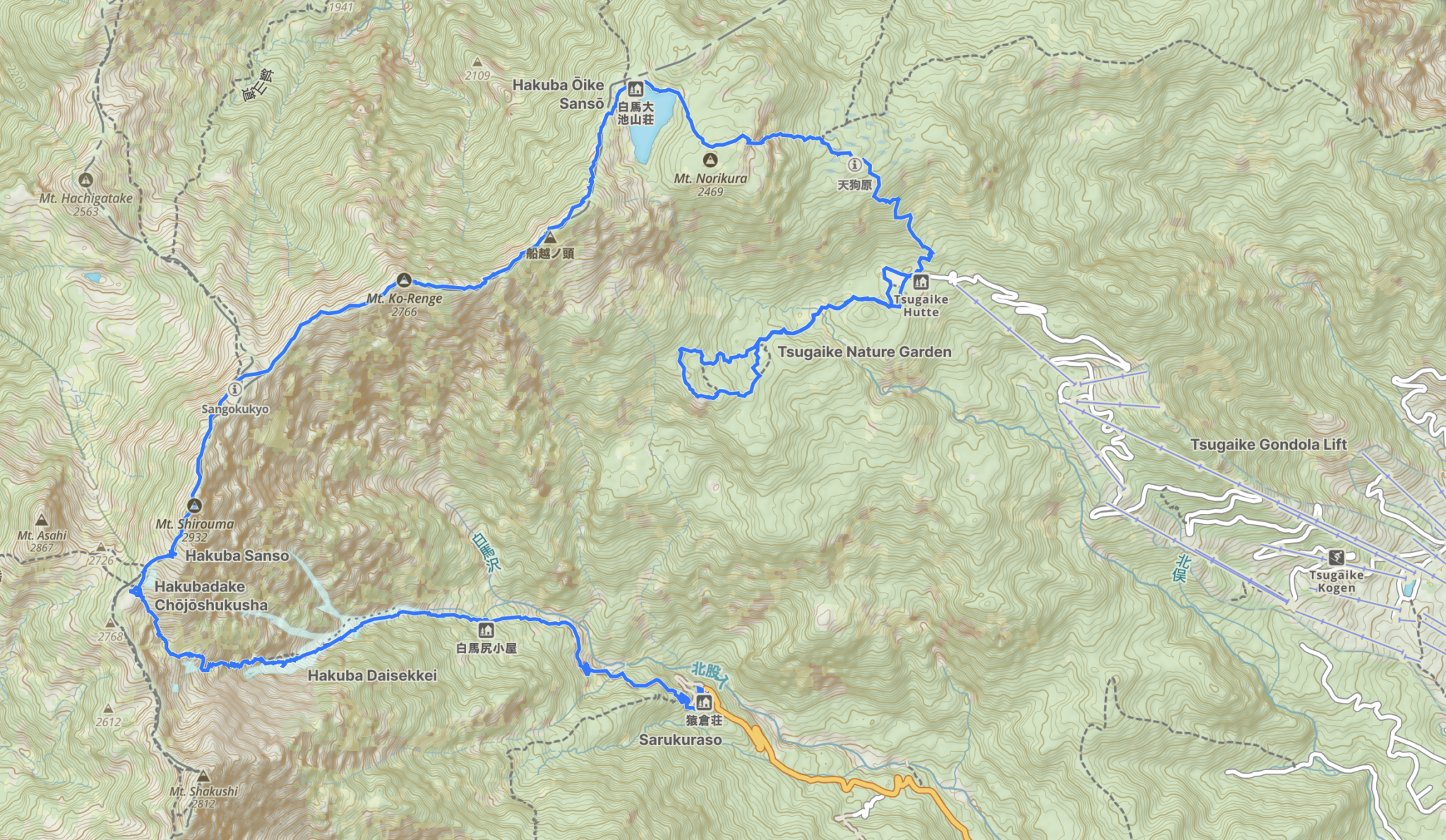
Tsugaike Kogen to Hakuba Ōike Sansō (9 km)
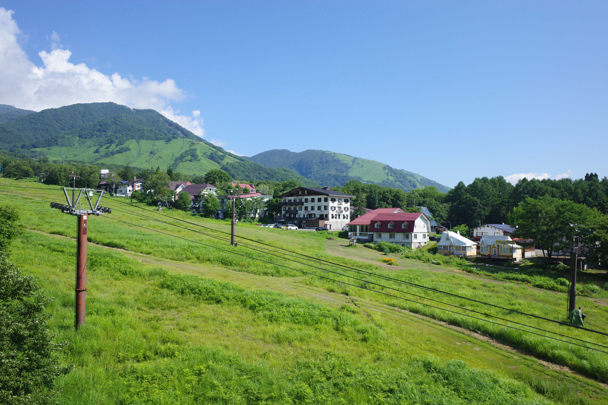
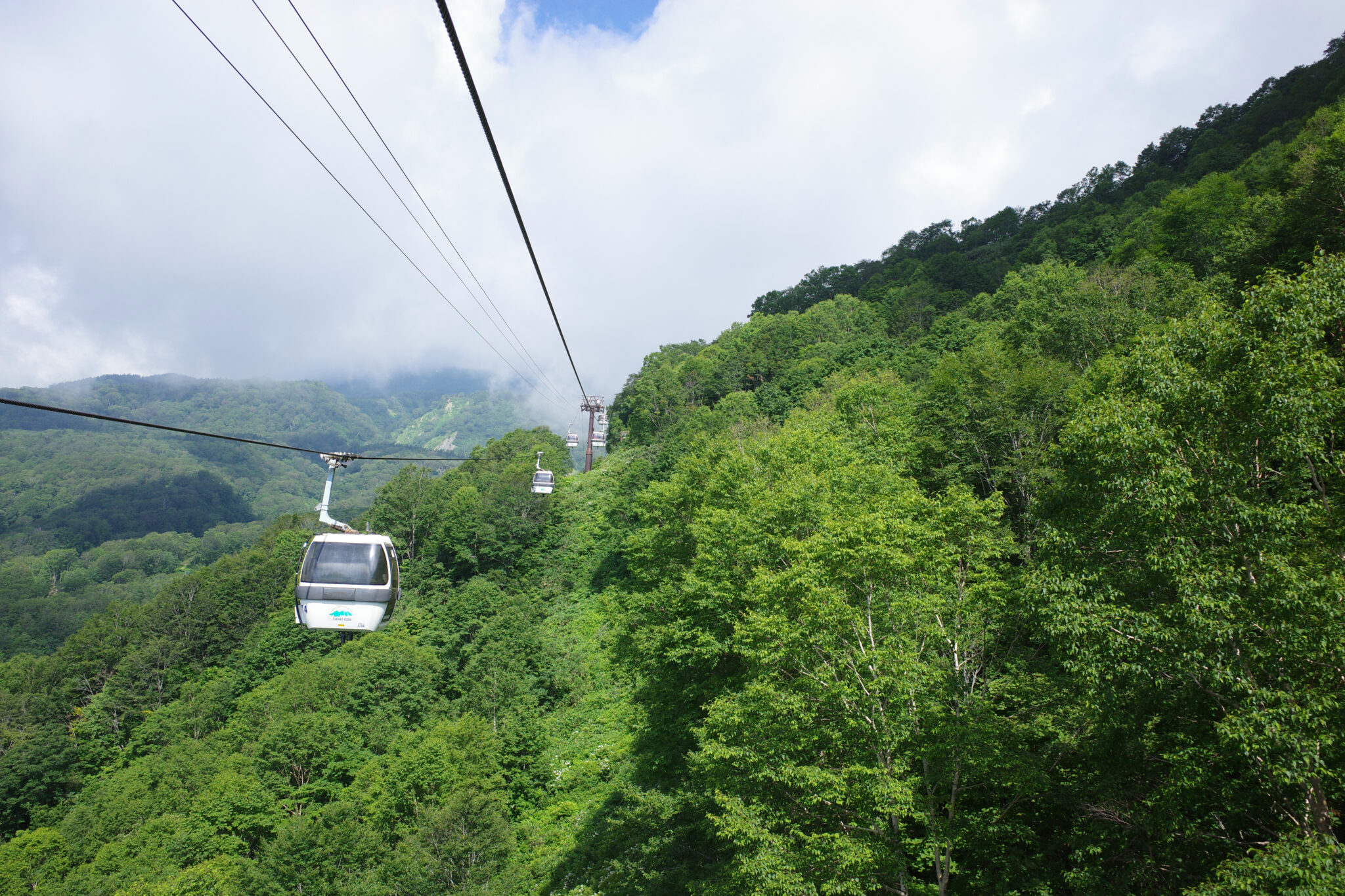
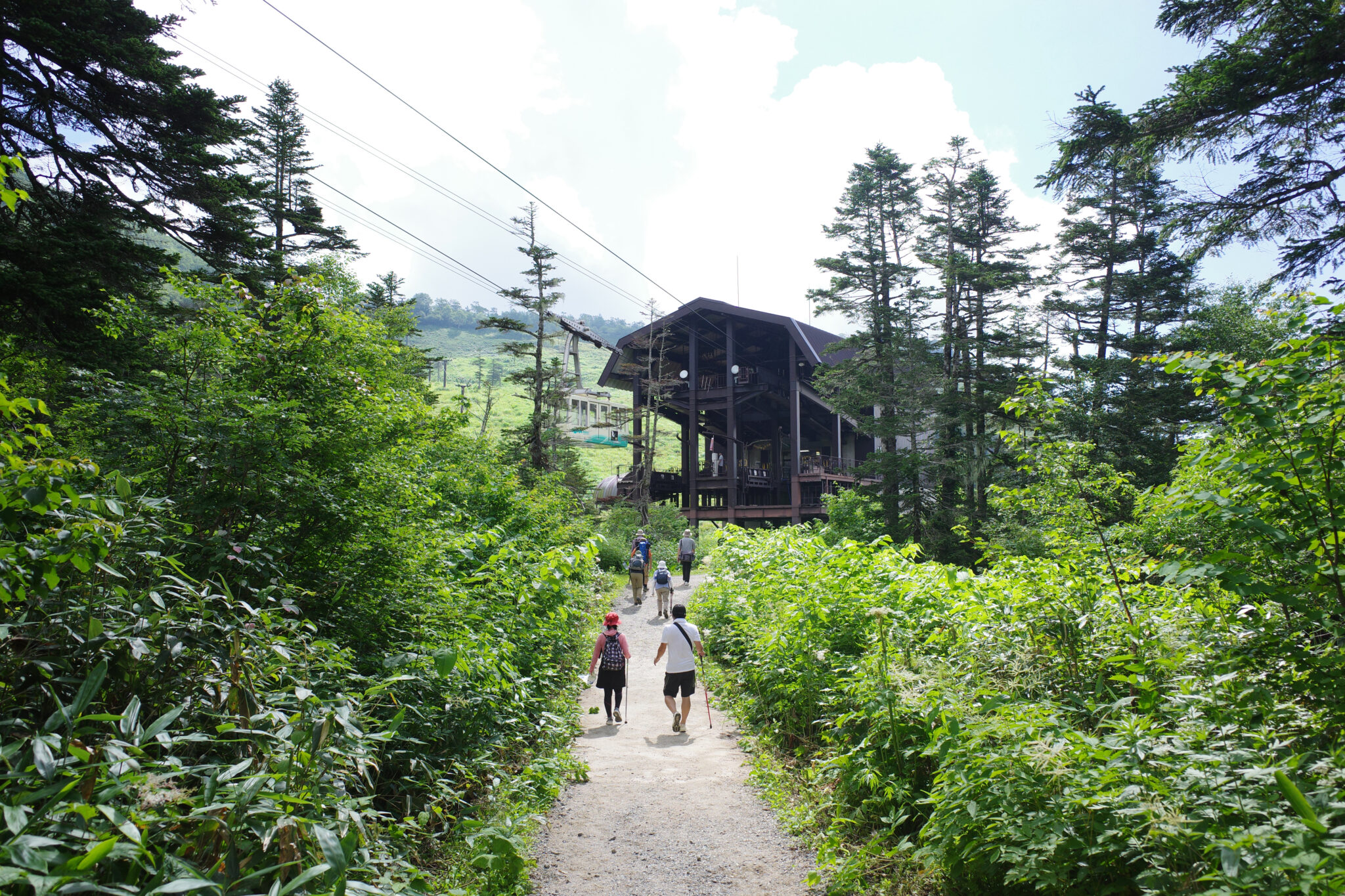
The following morning we took the ropeway from Tsugaikekogen Station (栂池高原駅) to Shizen-En Station (自然園駅) via an interchange at Tsugadaimon Station (栂大門駅). This saves you a little over 1,000 m of ascent which your legs will thank you for later.
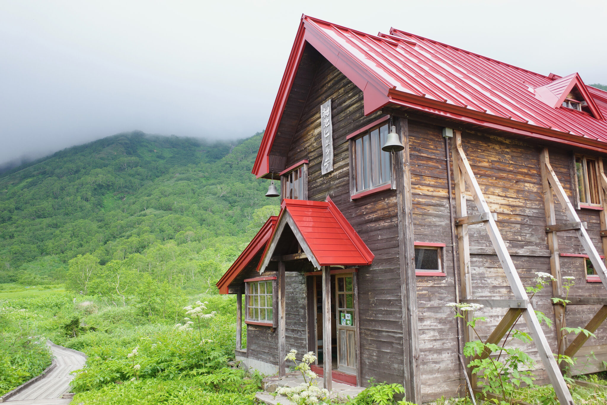
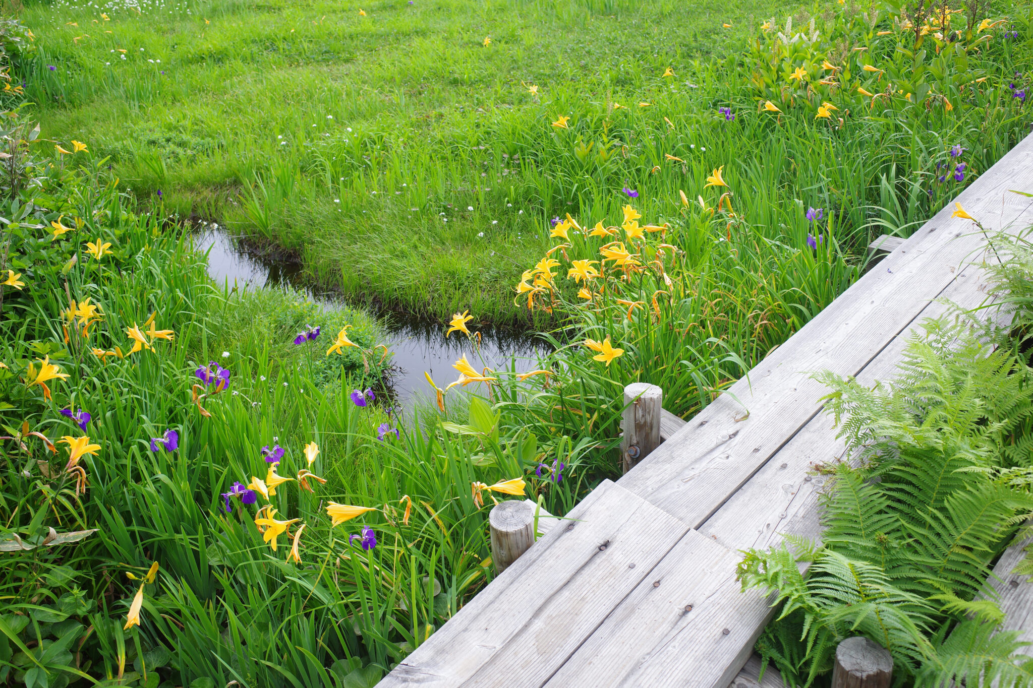
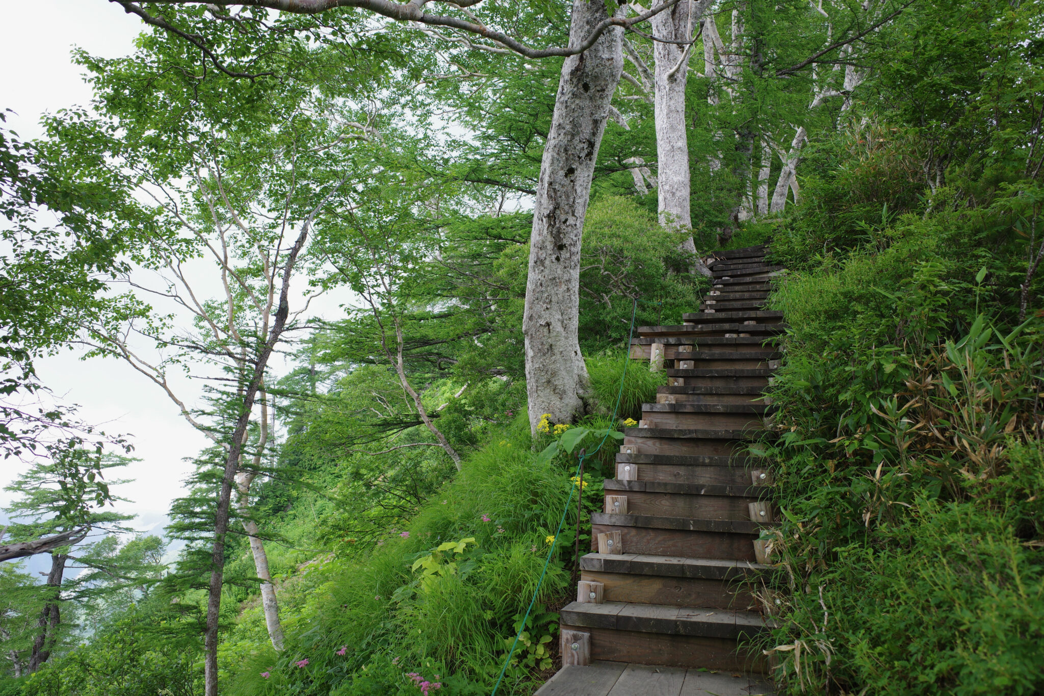
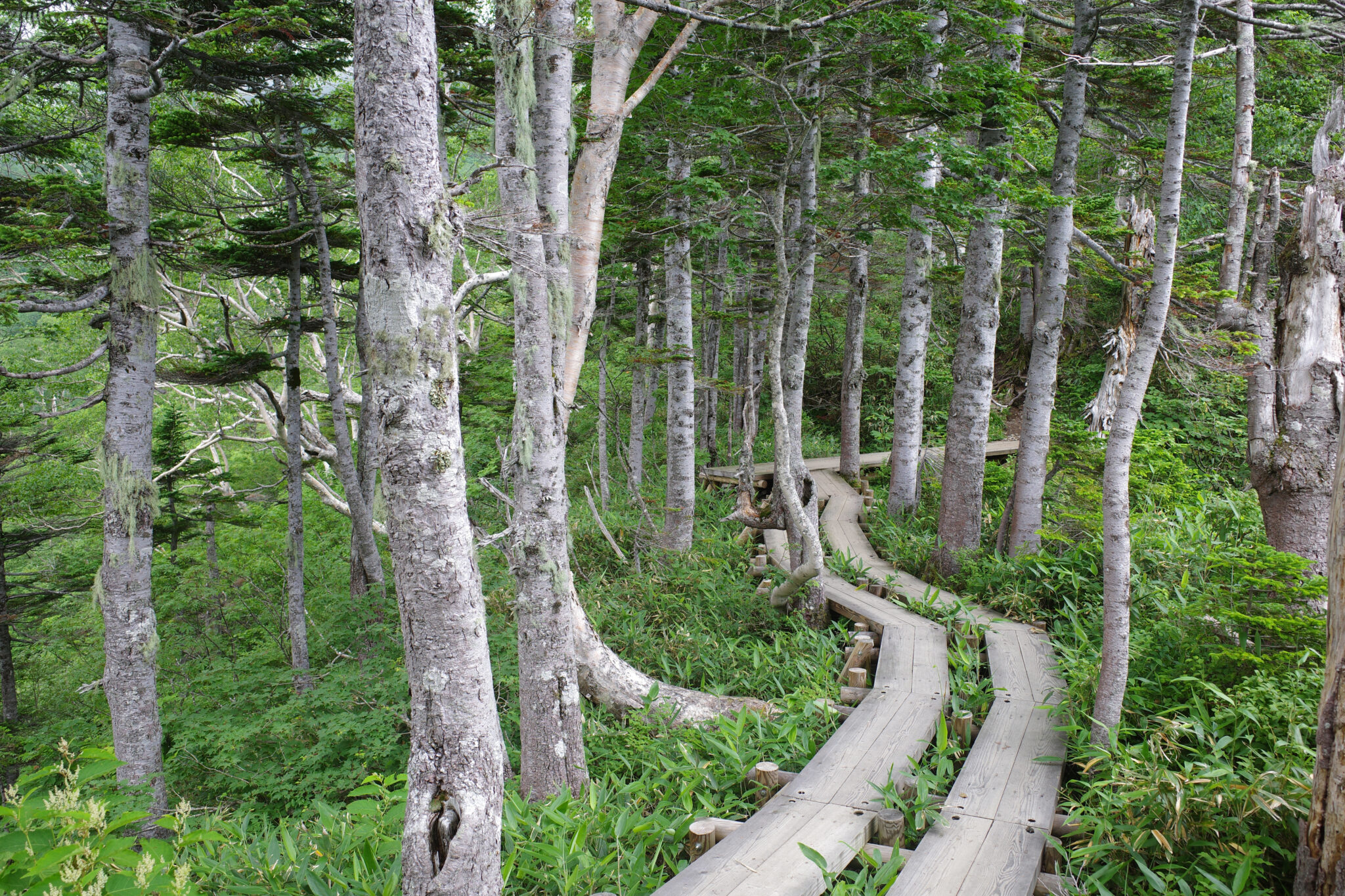
Near the top ropeway station, at an elevation of 1,860 m, you’ll find Tsugaike Nature Garden (栂池自然園) where around 6 km of raised boardwalks allow you to explore the alpine marshland with its beautiful plants and panoramic views of the mountains.
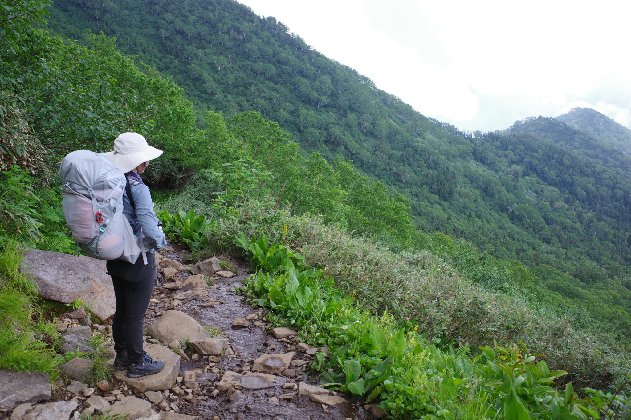
After having lunch at one of the huts near Tsugaikeshizenen Visitor Center (栂池自然園 ビジターセンター) we began the hike proper. In late July someone was stationed at the trailhead to make sure you’d submitted your route plan and to check you had the neccessary gear to stay safe (crampons in particular).
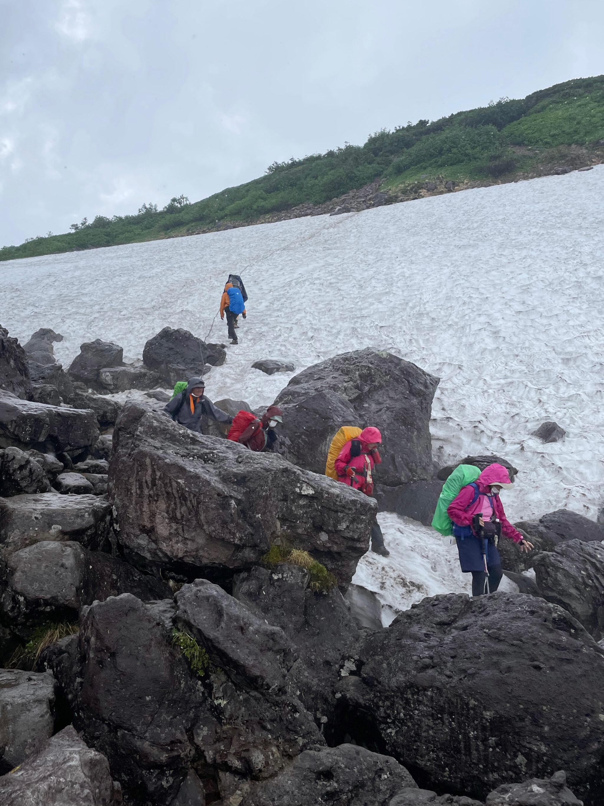
Twenty minutes into our walk the heavens opened and we were treated to an epic downpour which made scrambling up the rocky inclines and over the snow patches rather perilous.
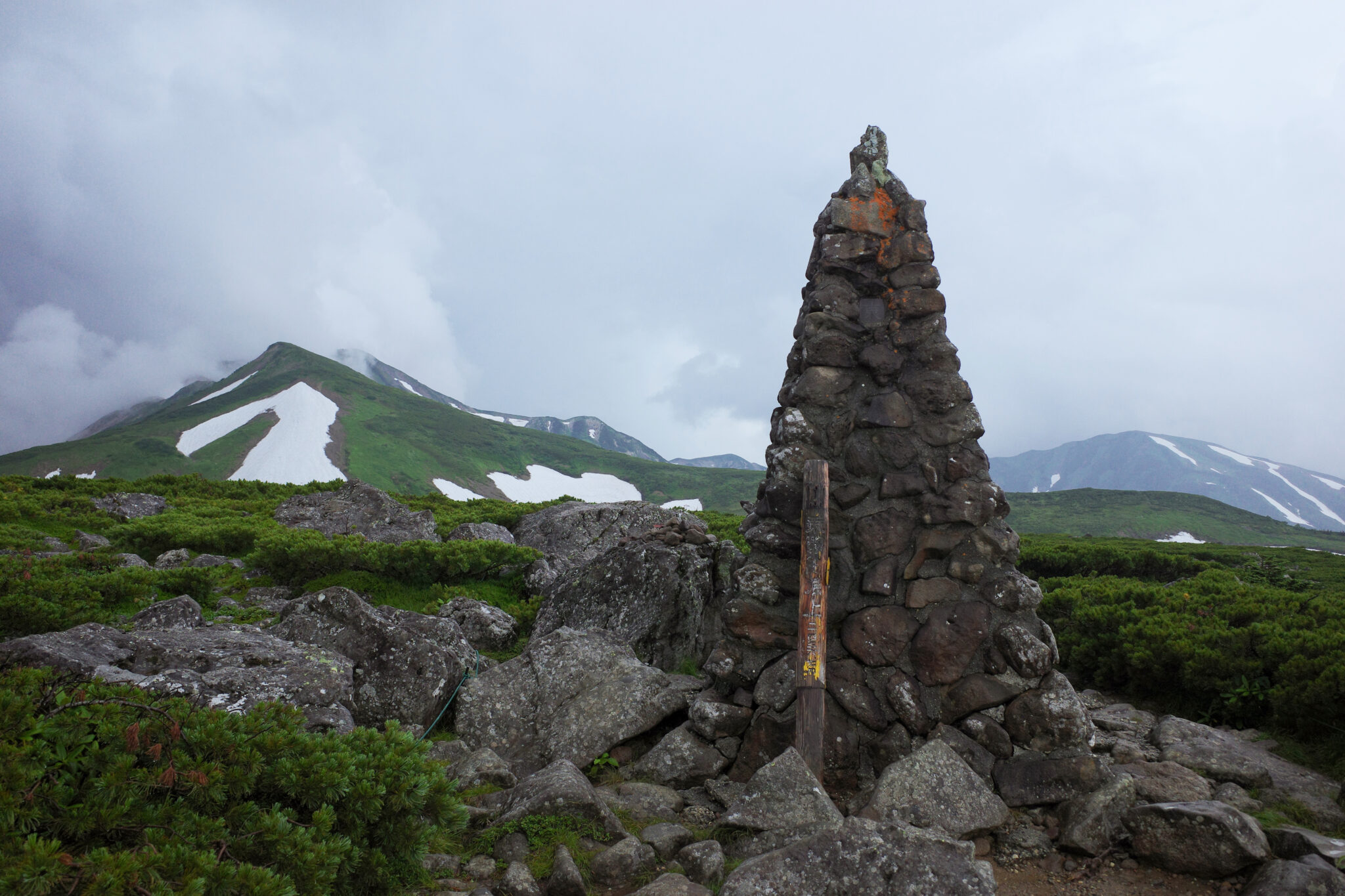
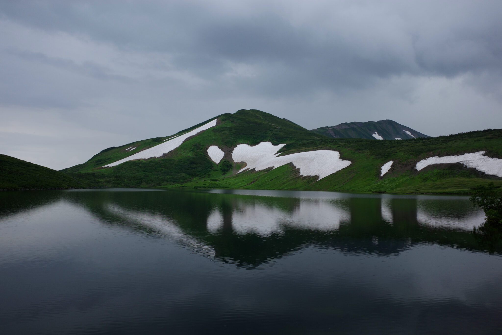
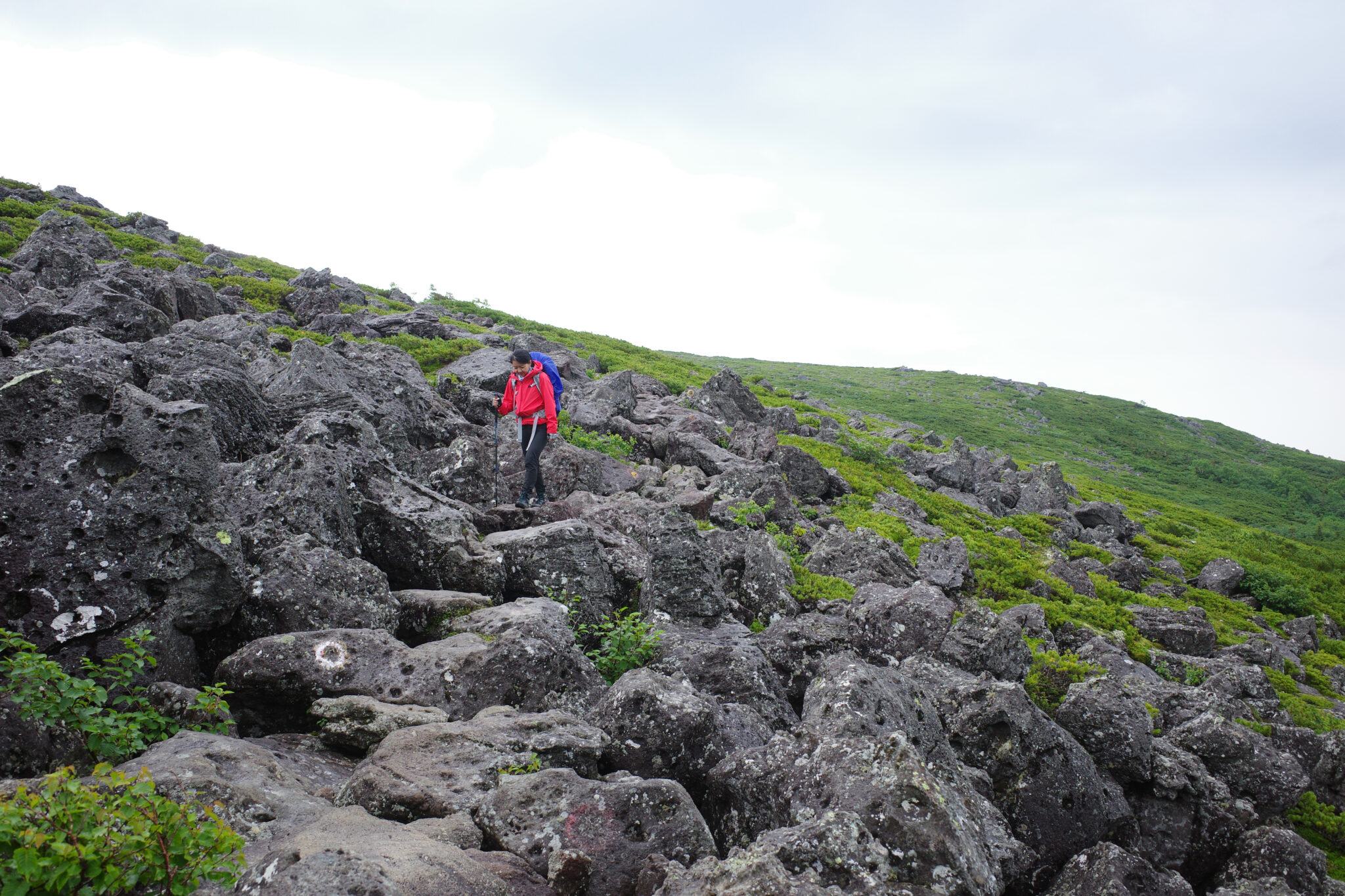
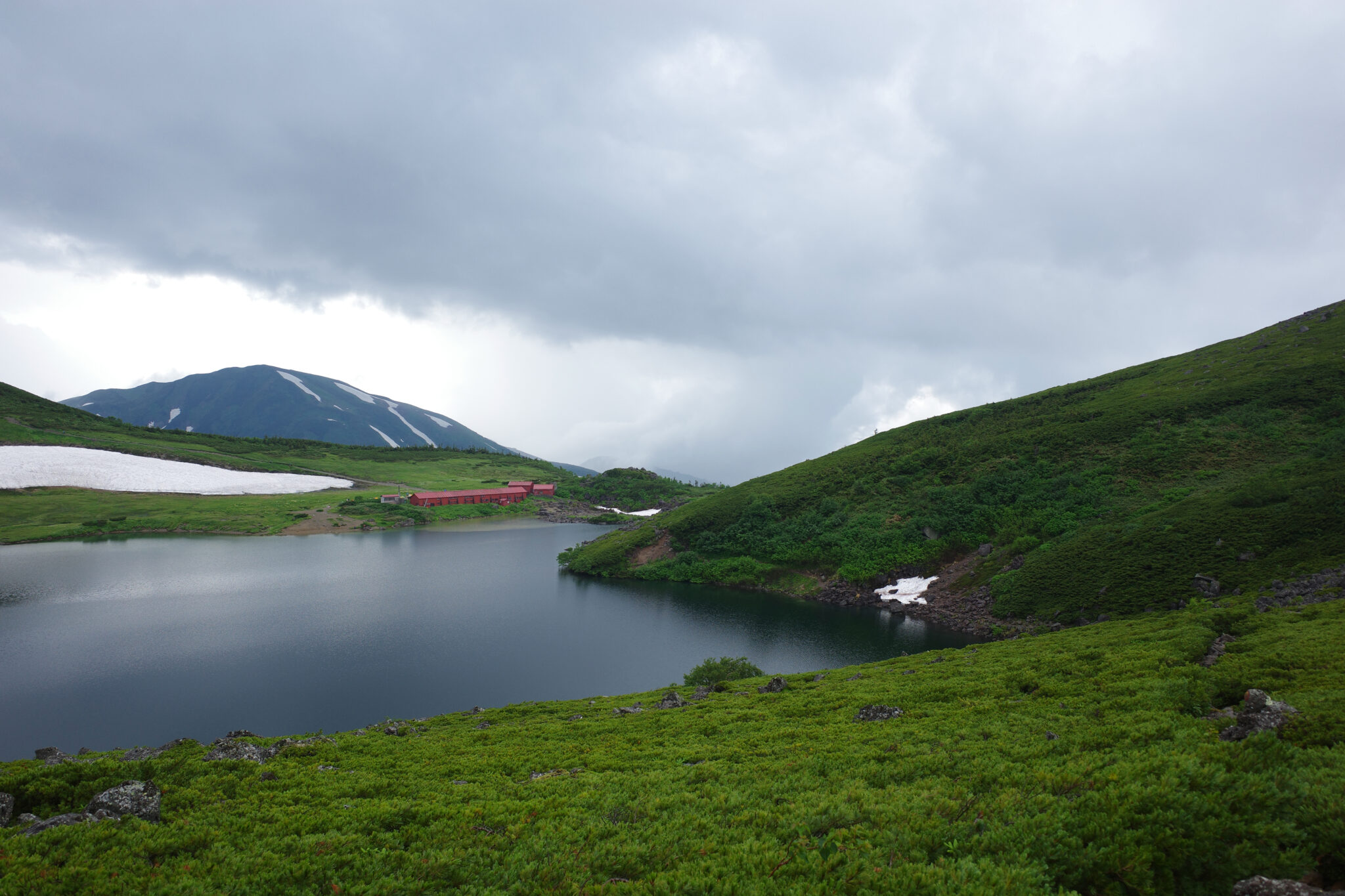
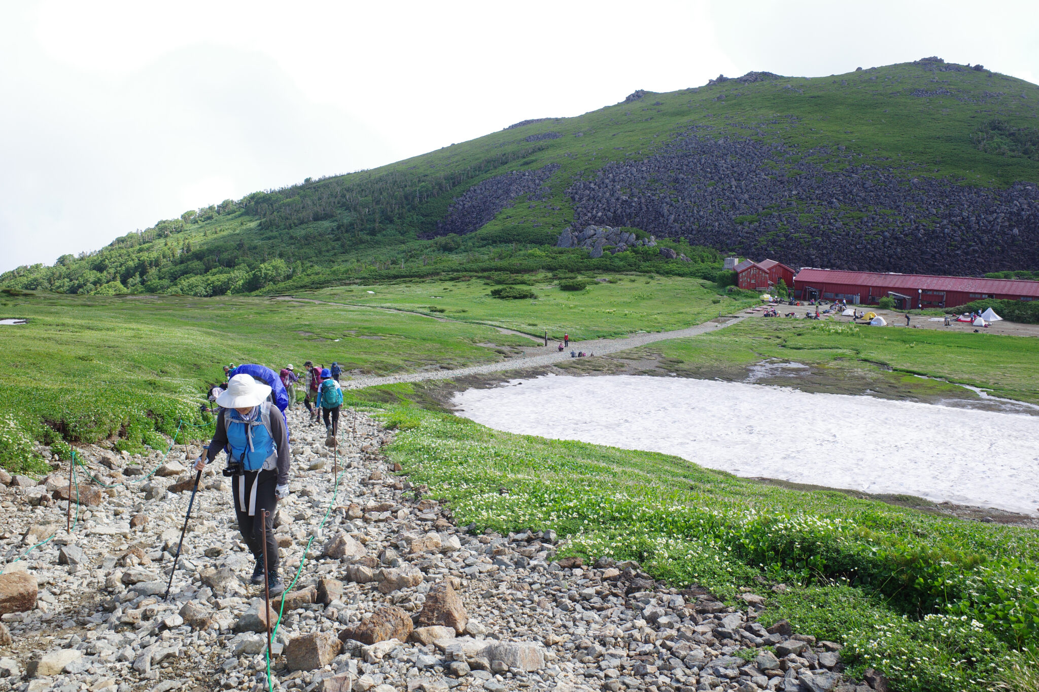
Two hours later by the time we reached the peak of Mt. Norikura (乗鞍岳) I was completely soaked and not in the best of moods. Luckily the rain eased off as we made our way around the edge of Hakuba Pond (白馬大池) to Hakuba Ōike Sansō (白馬大池山荘) which sits on its northern shores.
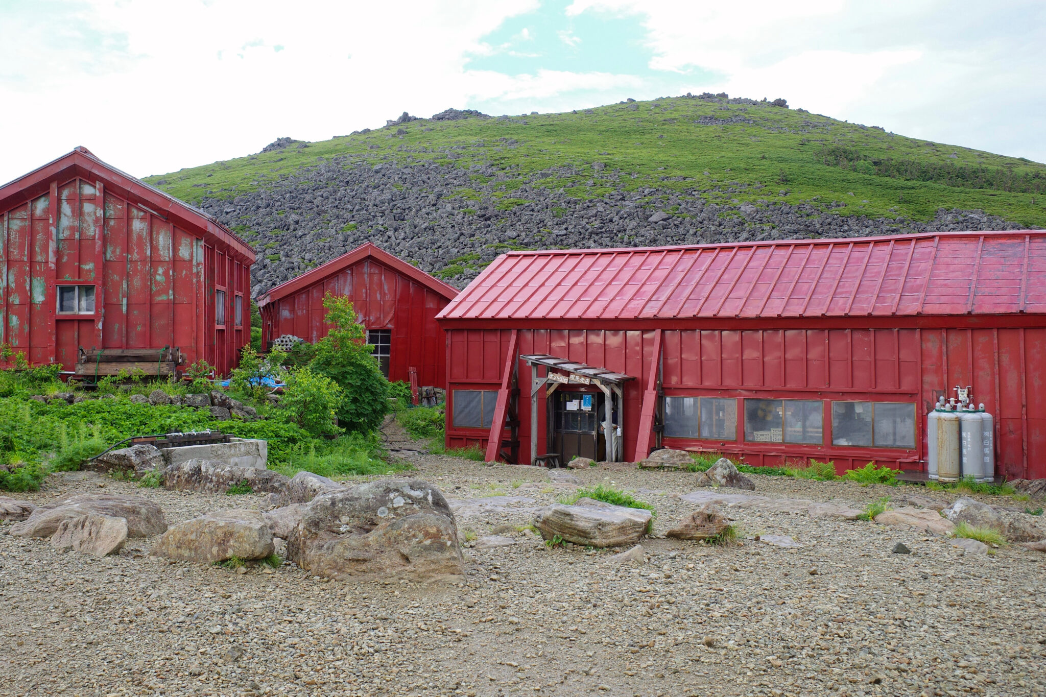
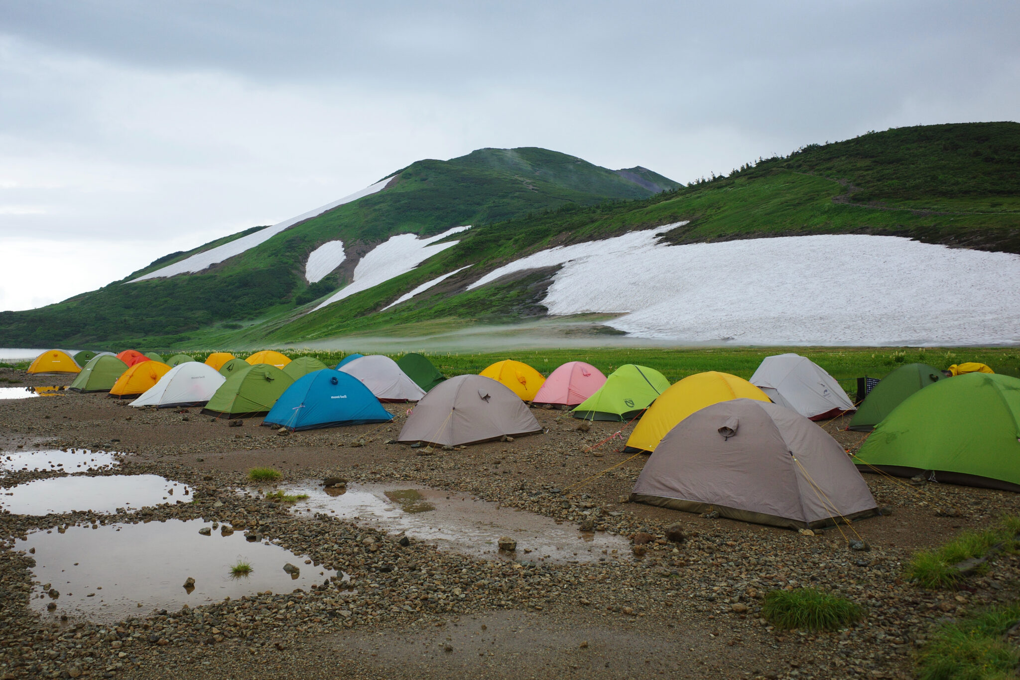
After checking in at the weather-beaten hut at 3.30 p.m. we immediately pitched our tent as the grey skies promised more rain which it indeed delivered shortly thereafter. It always makes me chuckle to see the rows of identical Montbell tents which Japanese hikers seem to love – they are affordable but not particularly light or spacious.
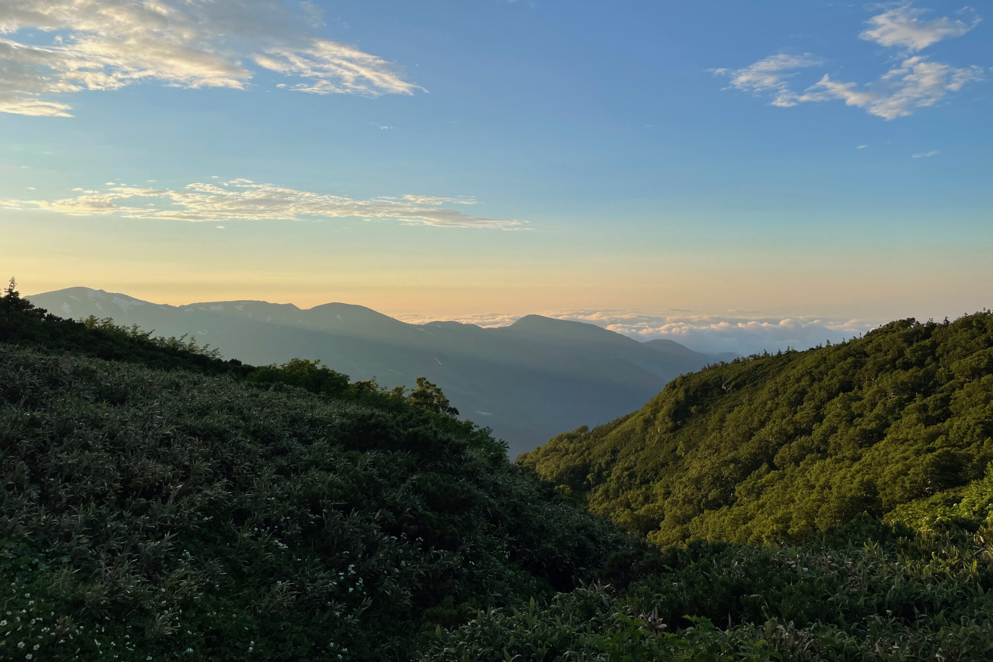
Due to covid concerns tent dwellers weren’t allowed to linger in the hut so we hunkered down under canvas till the rain stopped around 5.30 p.m. at which time we sprung into action to cook dinner before sunset. The day ended on a high note after the soggy afternoon.
Day 2
Hakuba Ōike Sansō to Hakubadake Chōjōshukusha (6 km)
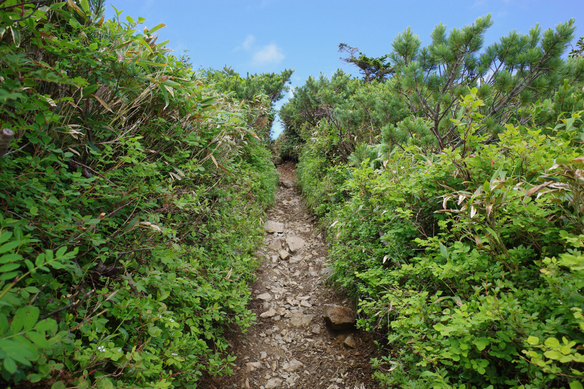
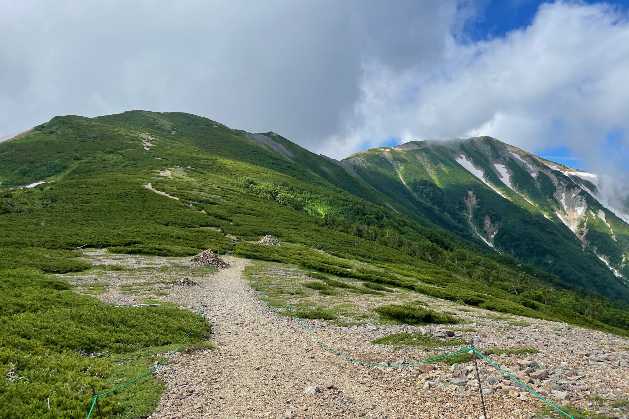
Our day began at a reasonable hour with us decamping at 8.30 a.m. The trail gently slopes upwards to the ridgeline that we would be spending the rest of the day on.
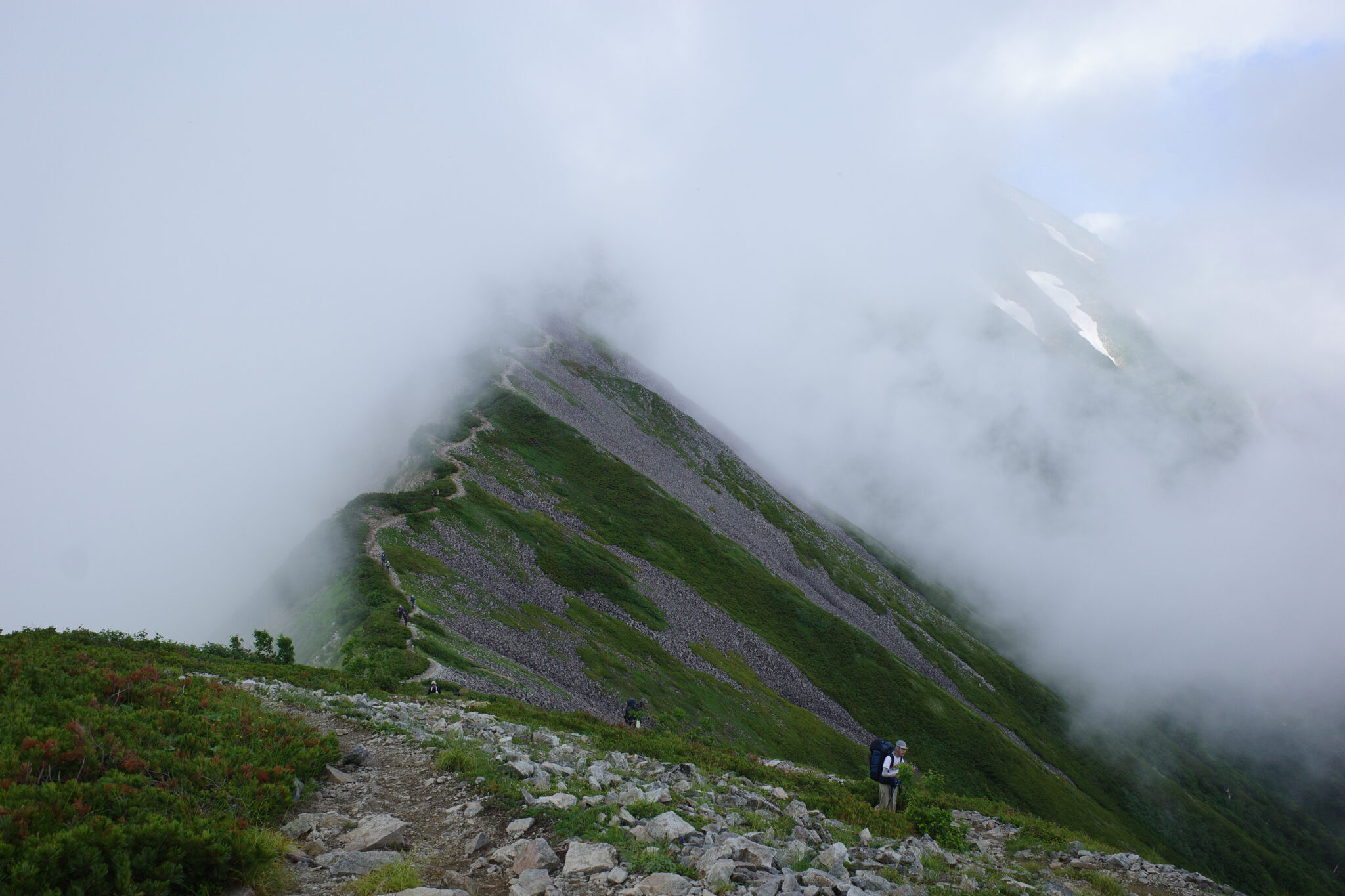
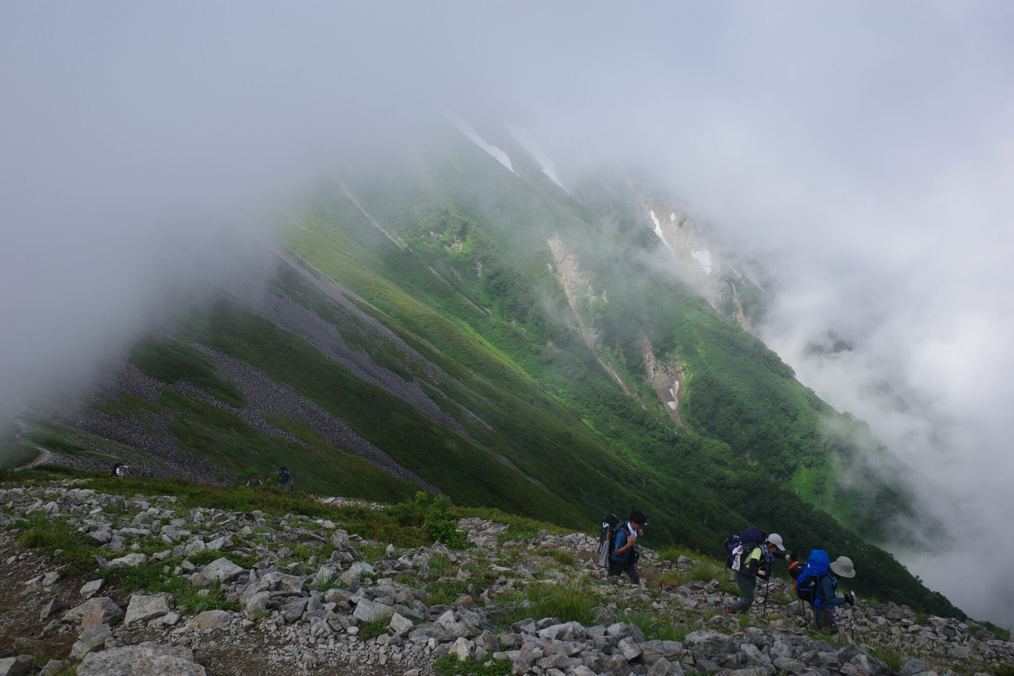
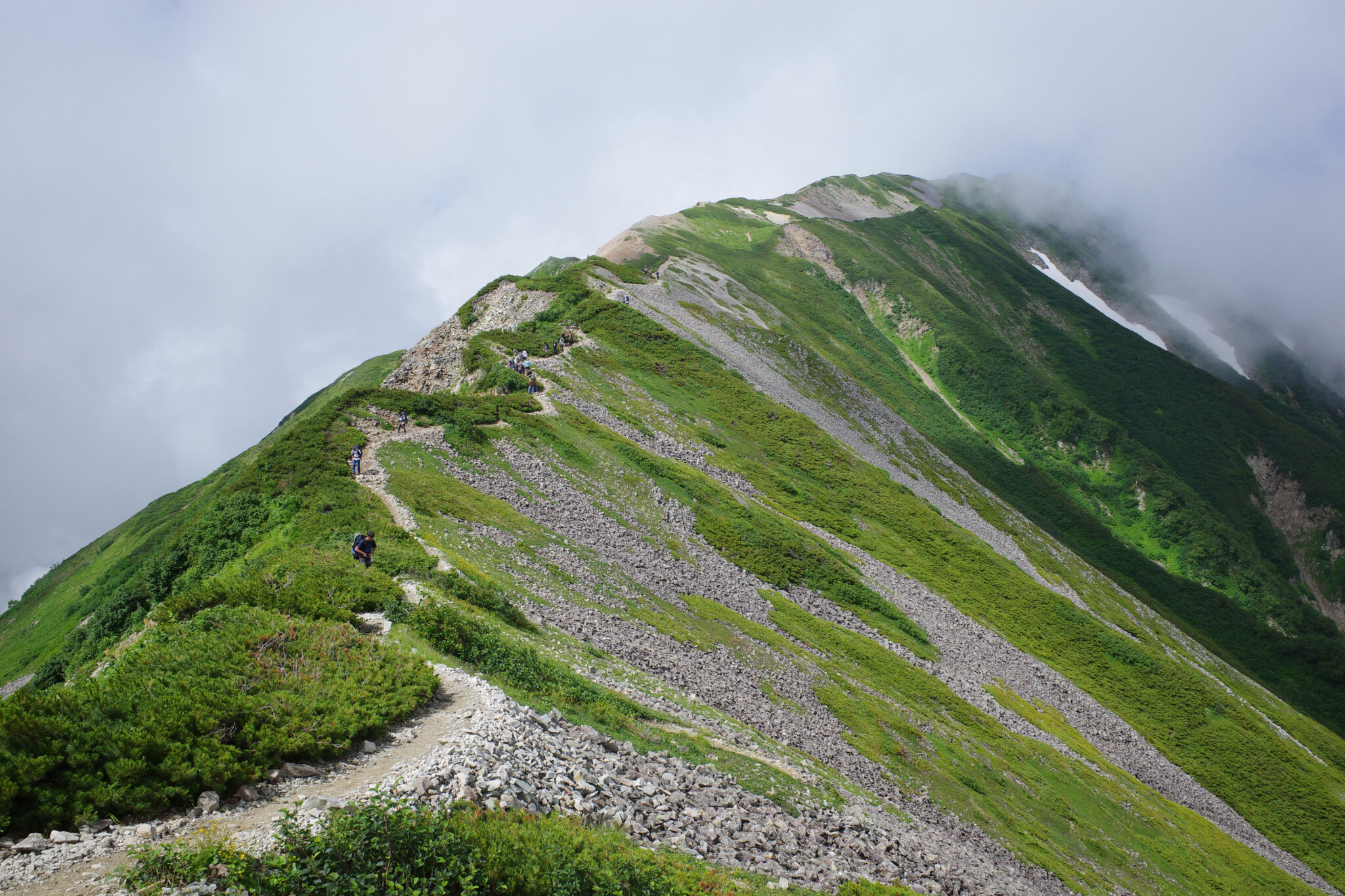
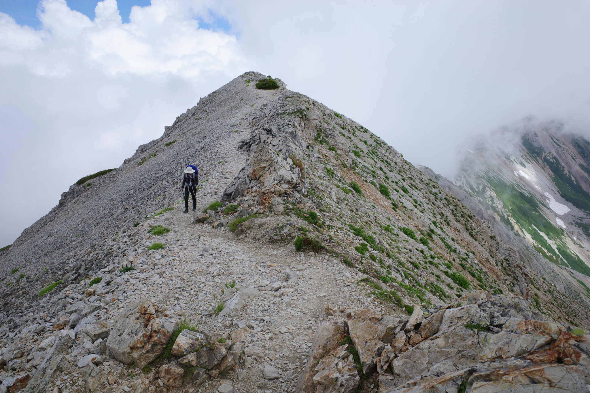
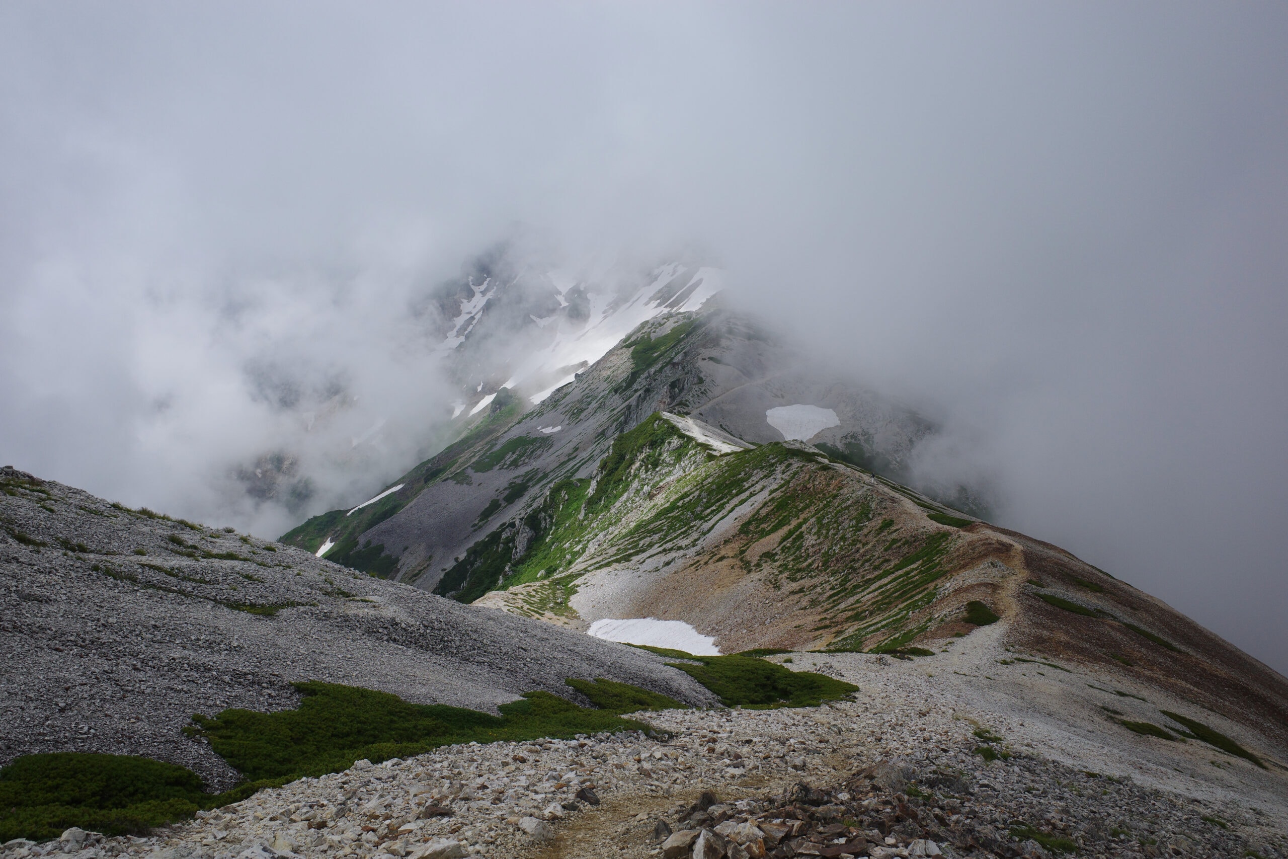
Clouds hung over the mountains with glimpses of the undulating road ahead reminding me of a Chinese landscape painting or walking along The Great Wall.
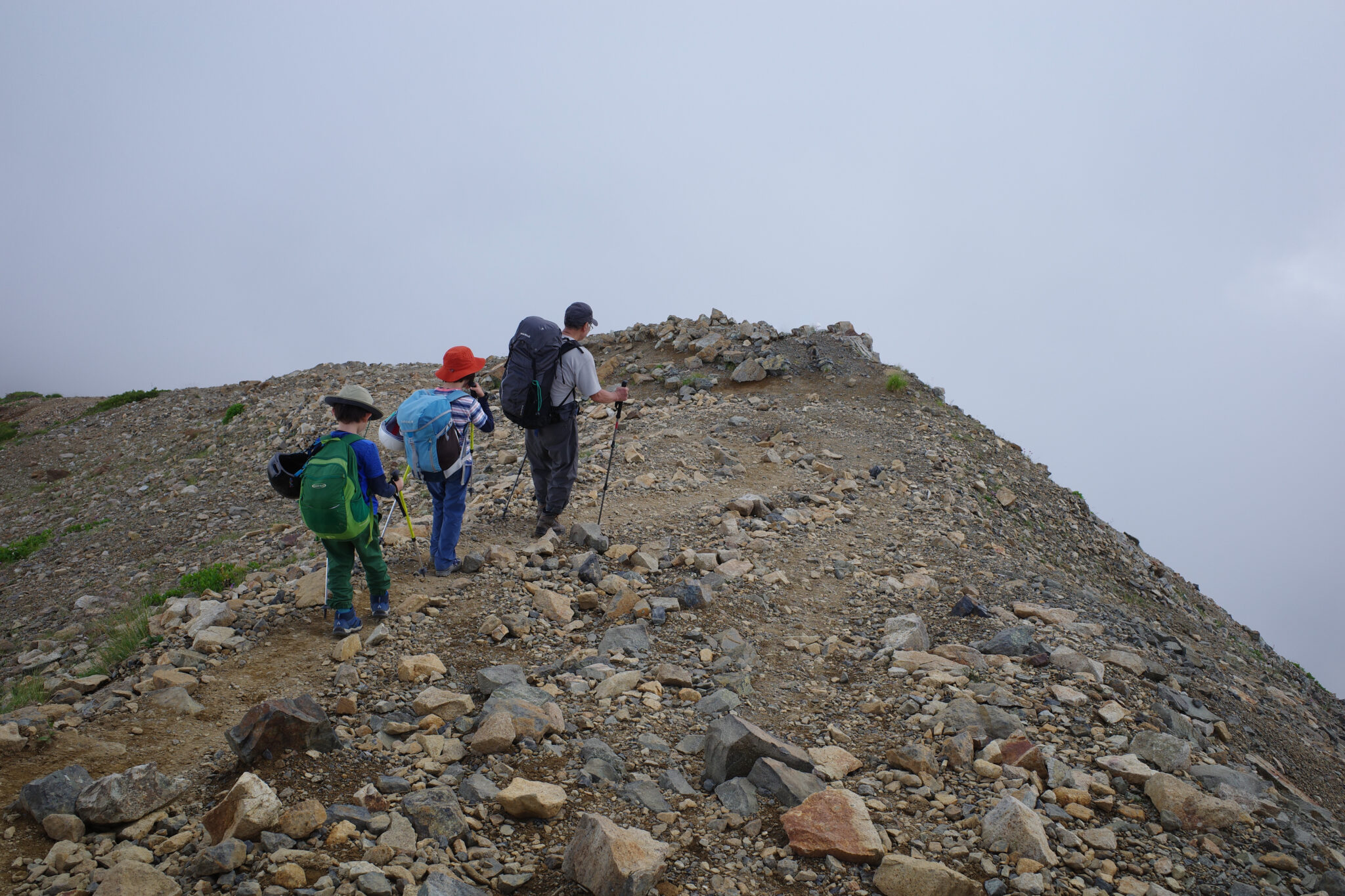
The route is fairly easygoing and wide in most places making it accessible for adventurous parents with their kids.
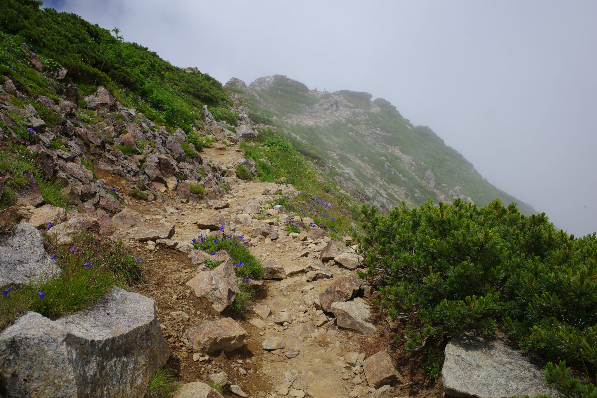
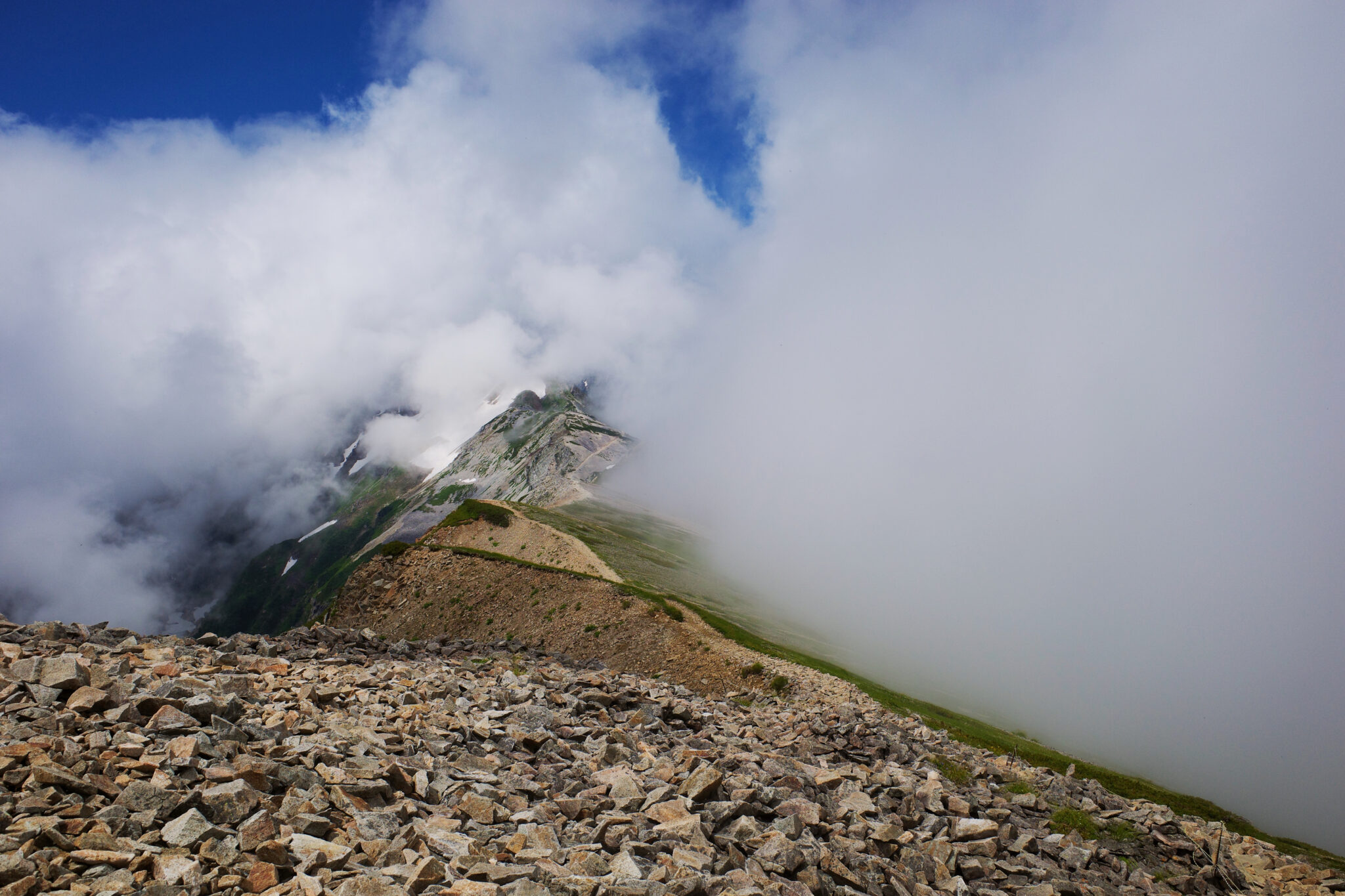
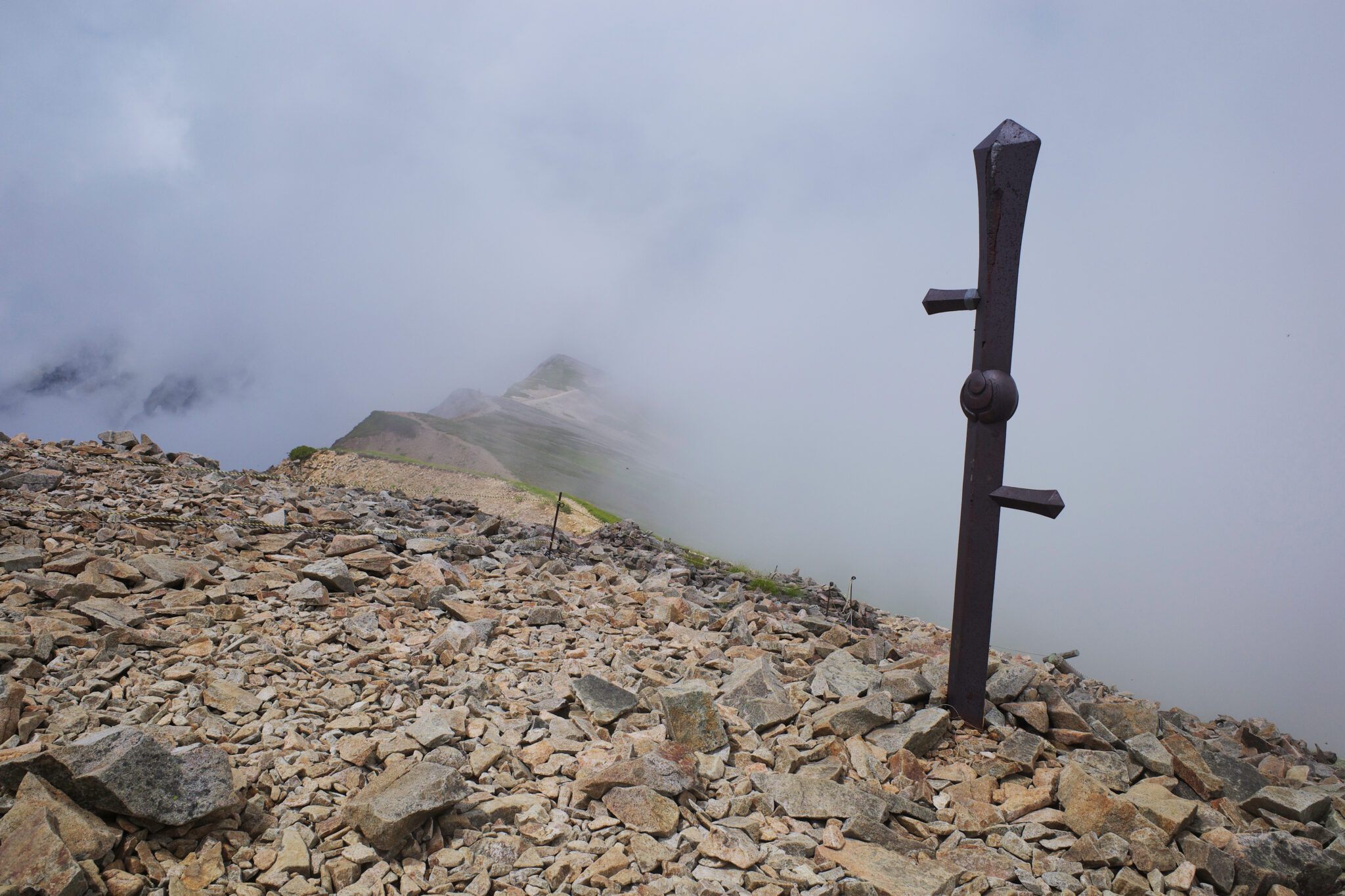
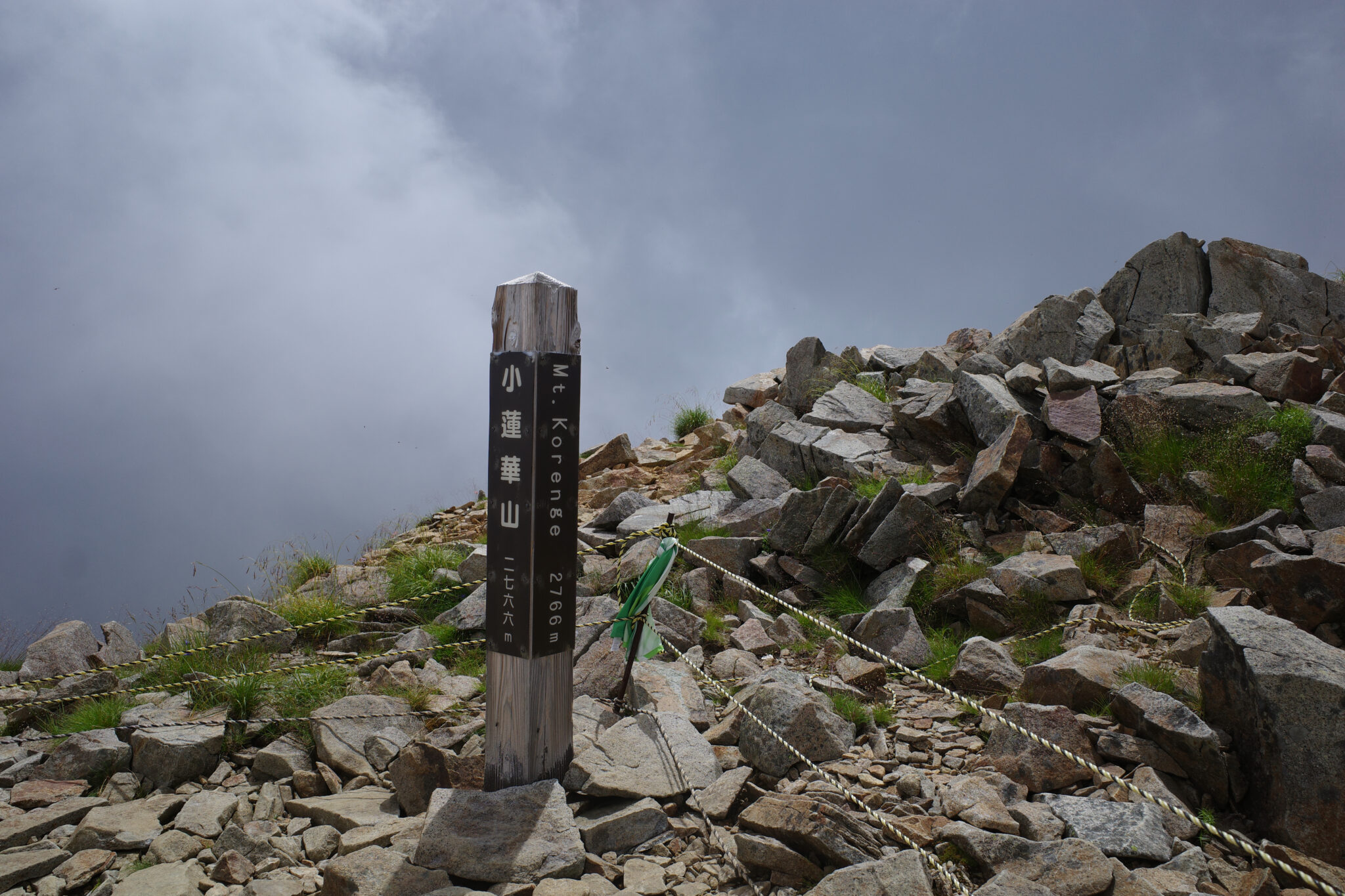
At 10.30 a.m. we passed Mt. Korenge (小蓮華山) which has a curious-looking signpost on its peak.
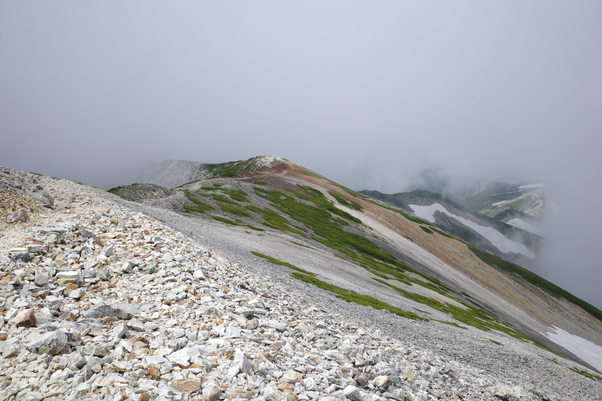
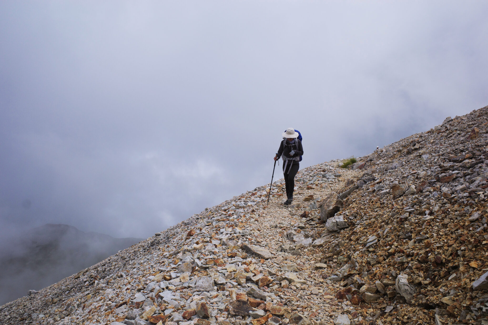
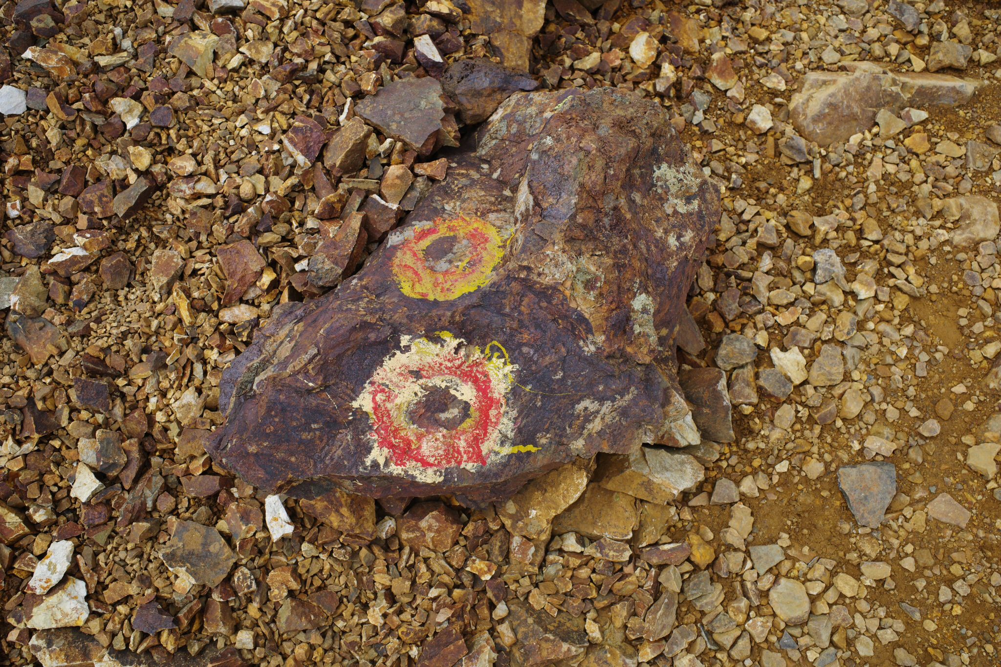
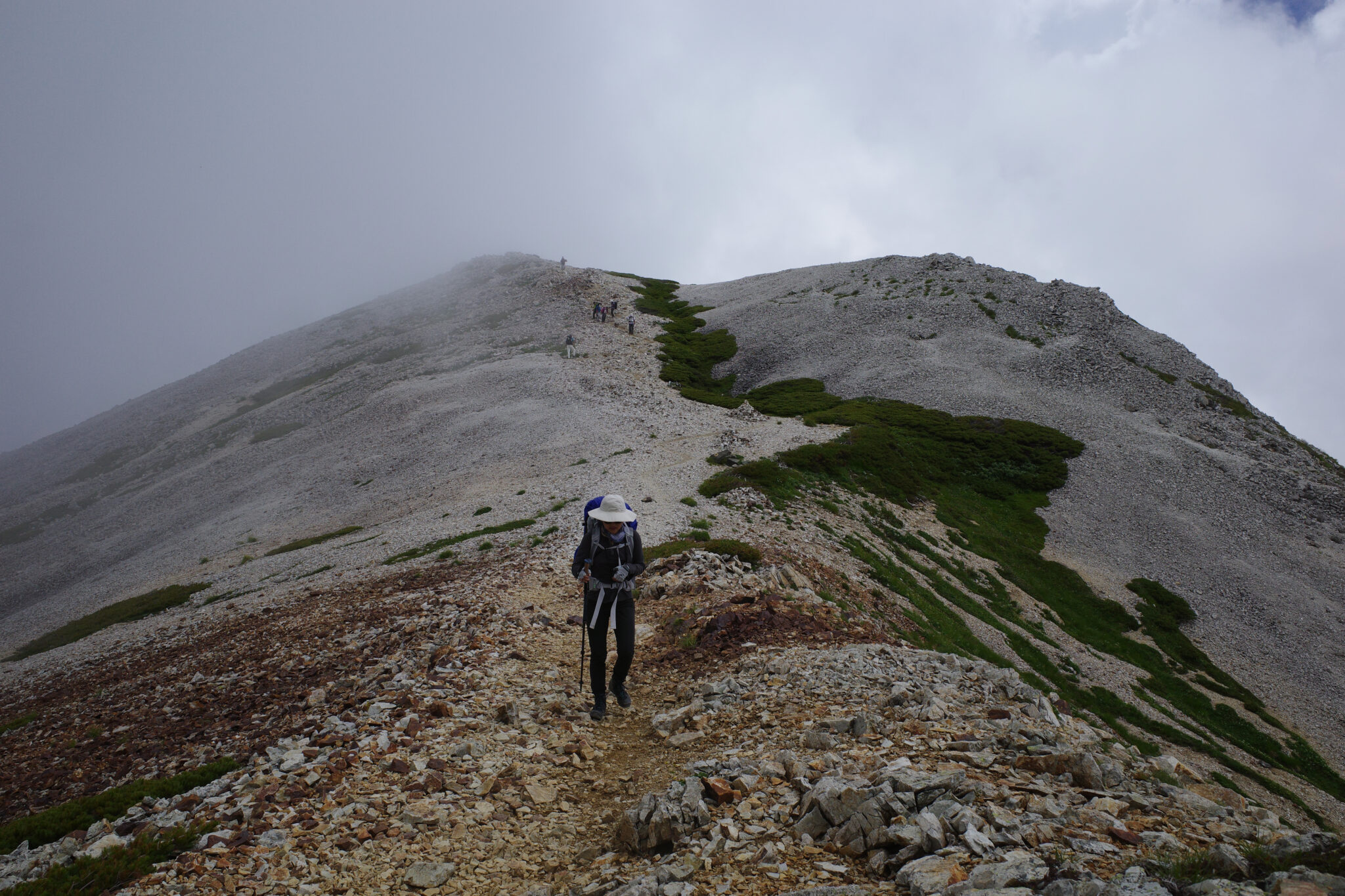
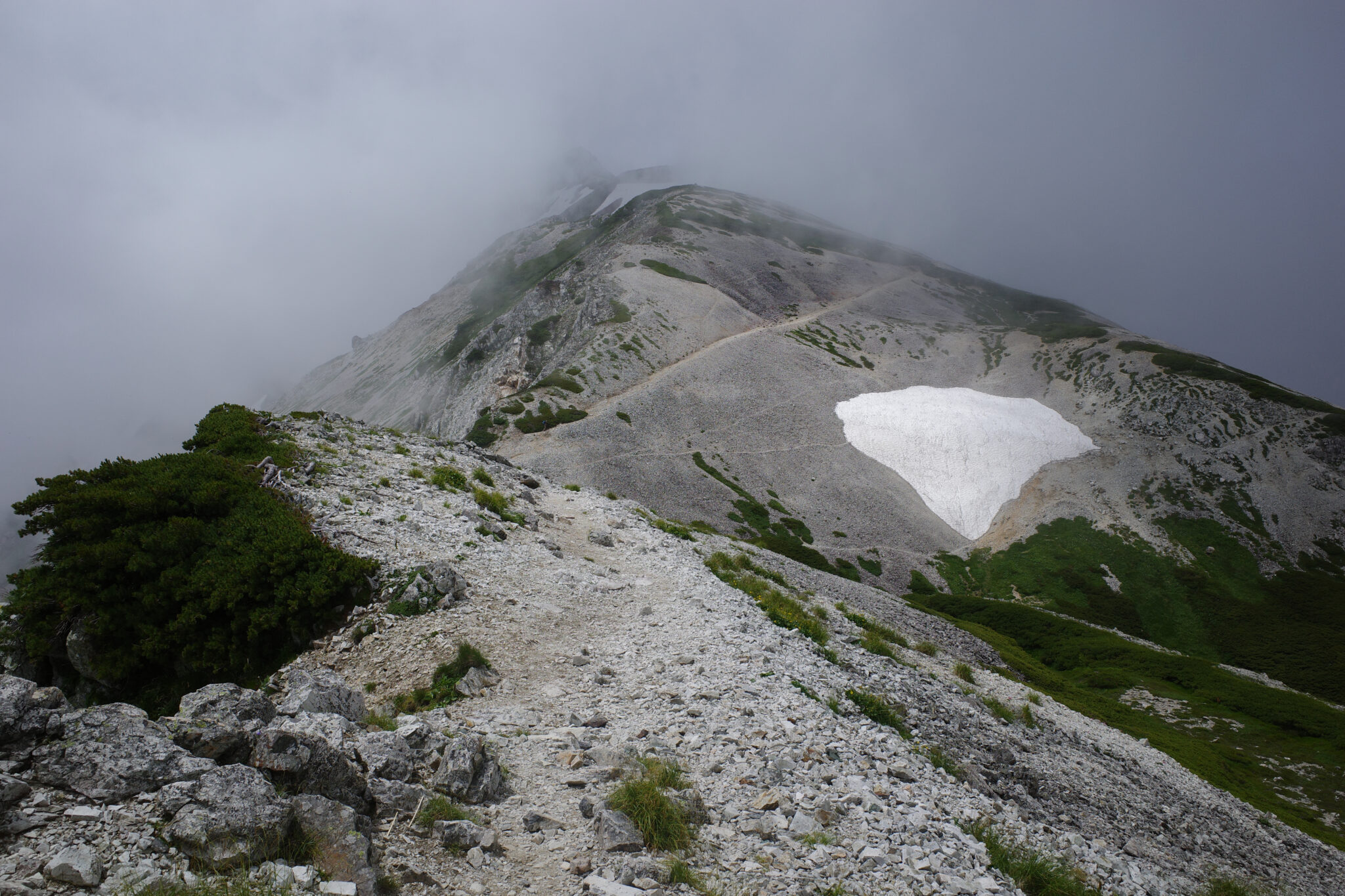
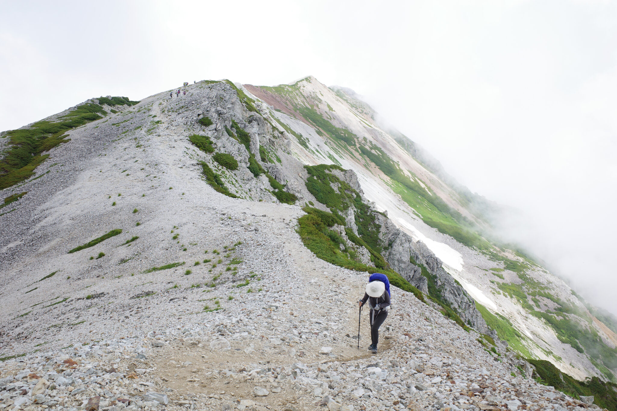
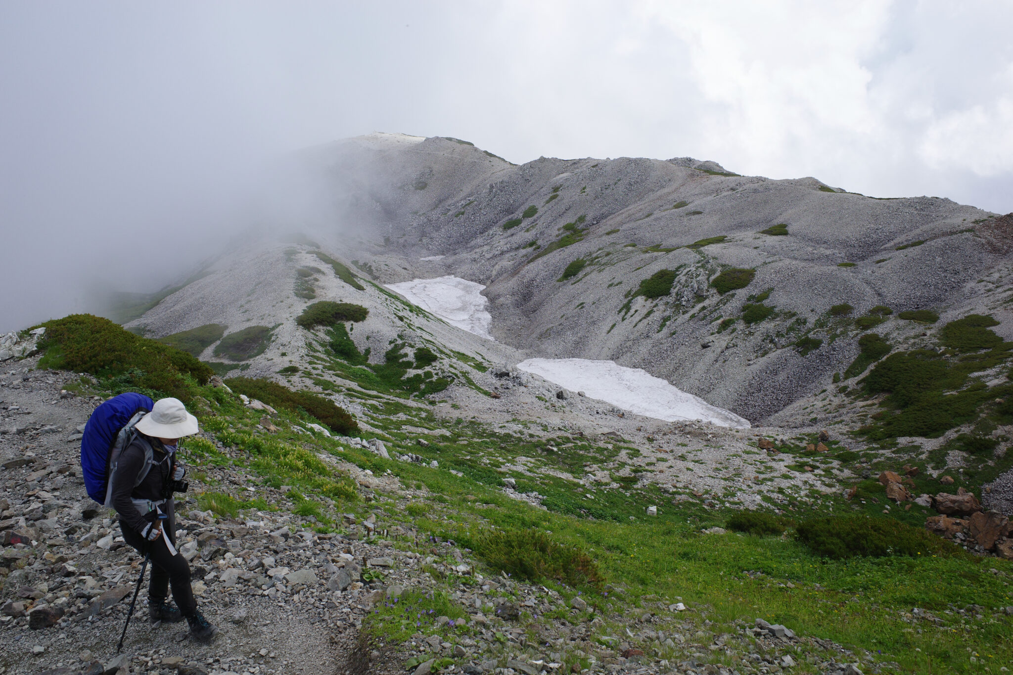
Up in the clouds with white rocks beneath our feet, we could have been walking on the moon or maybe mars on the occasions that iron deposits turned the rocks a deep orangy brown.
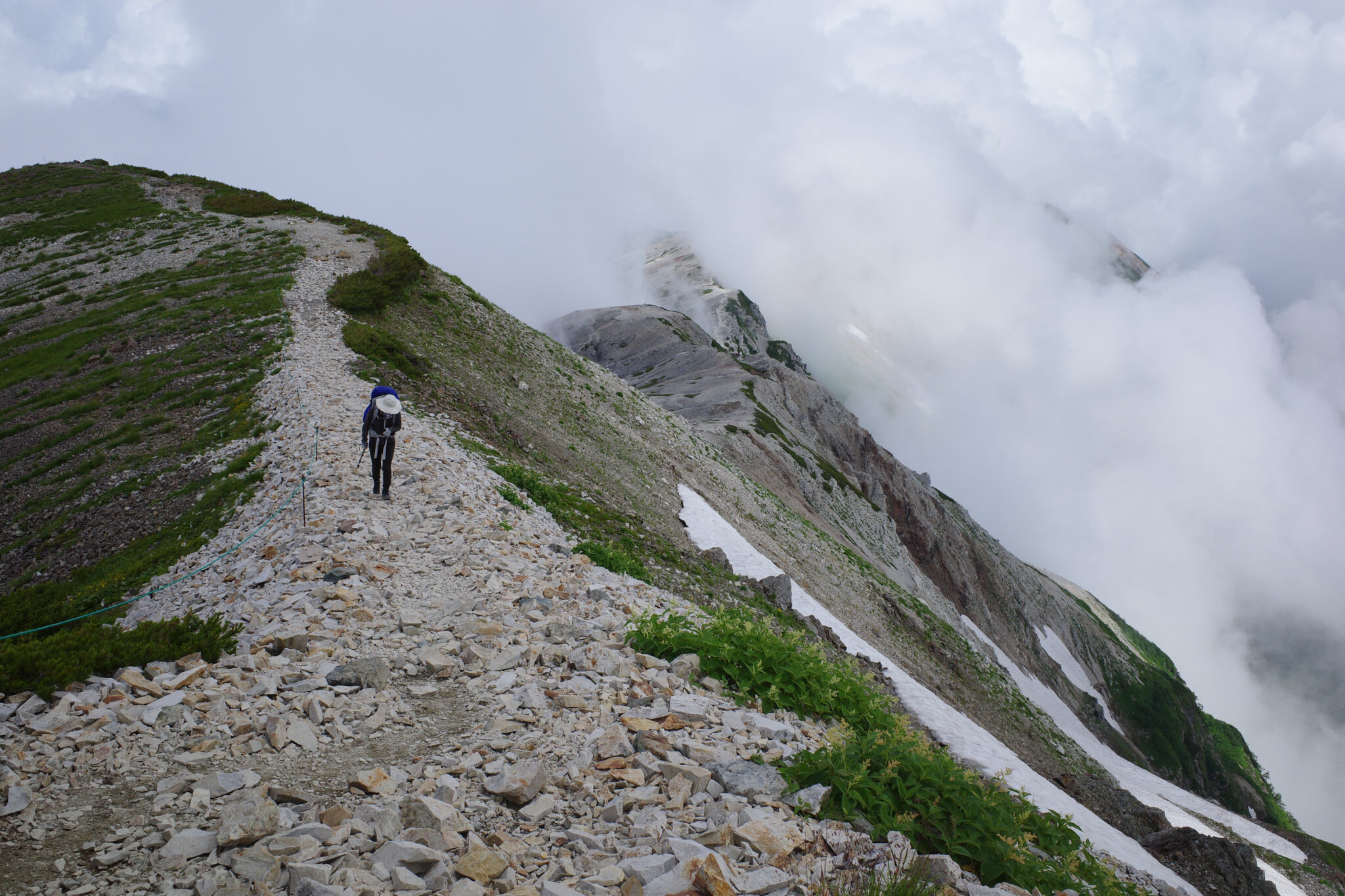
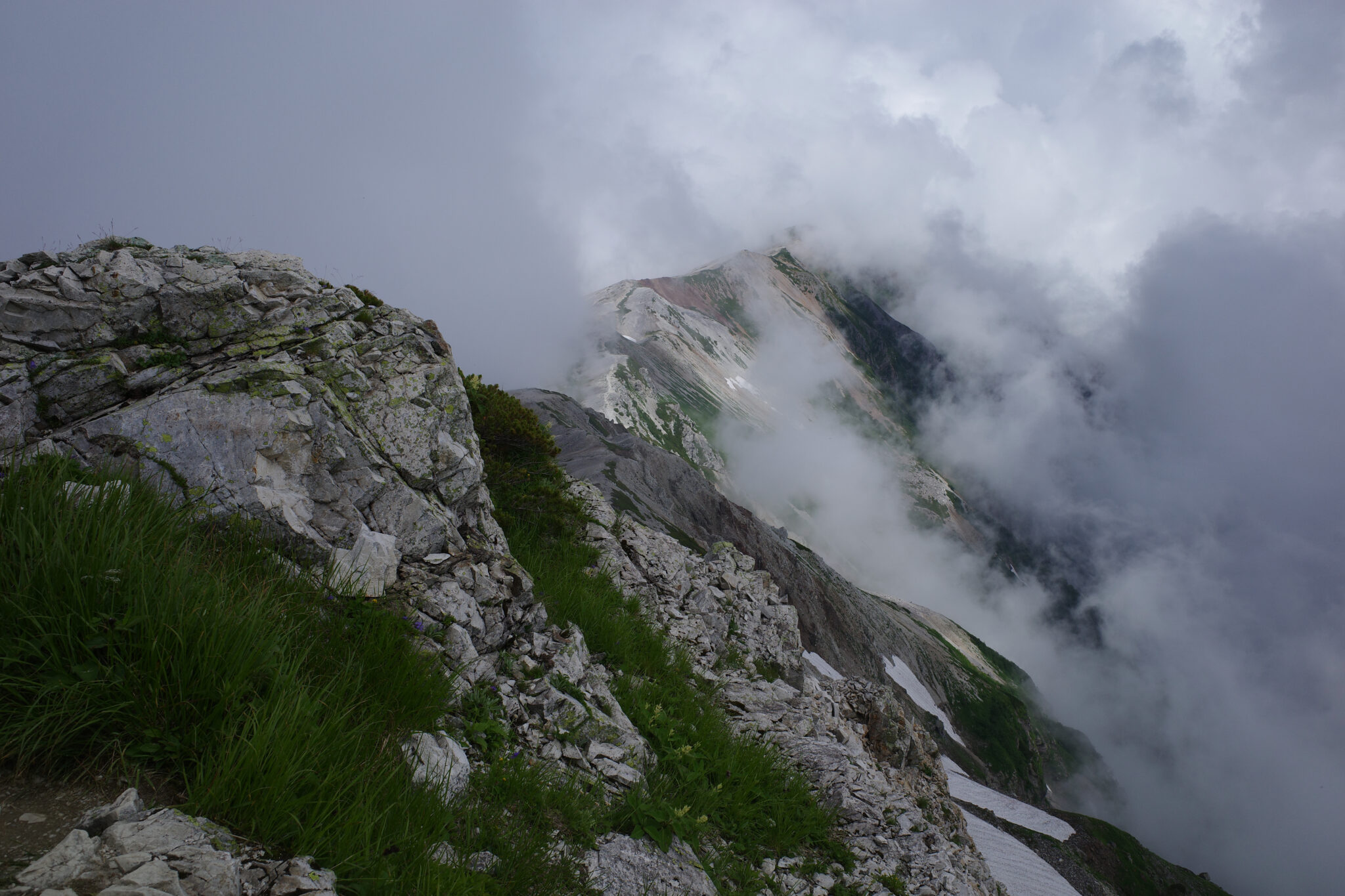
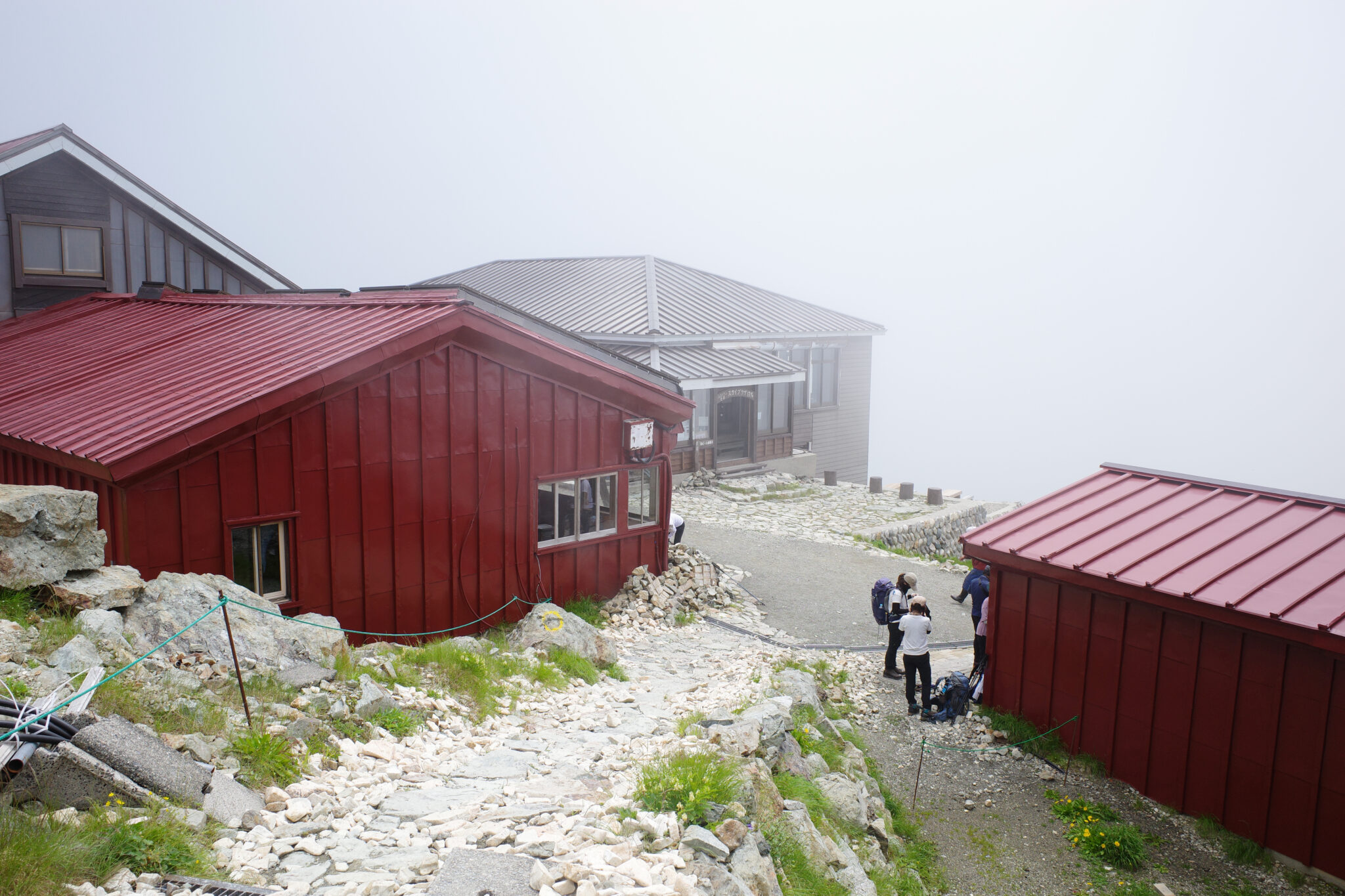
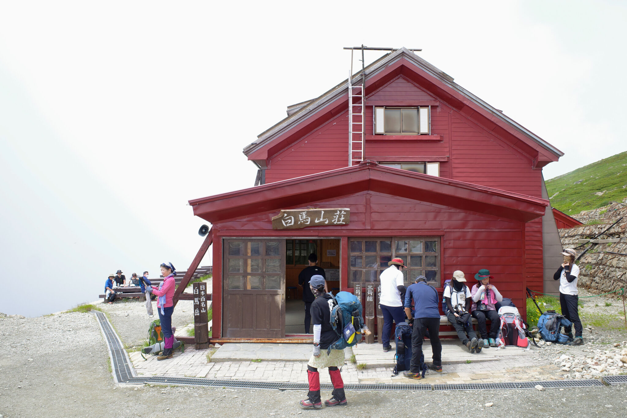
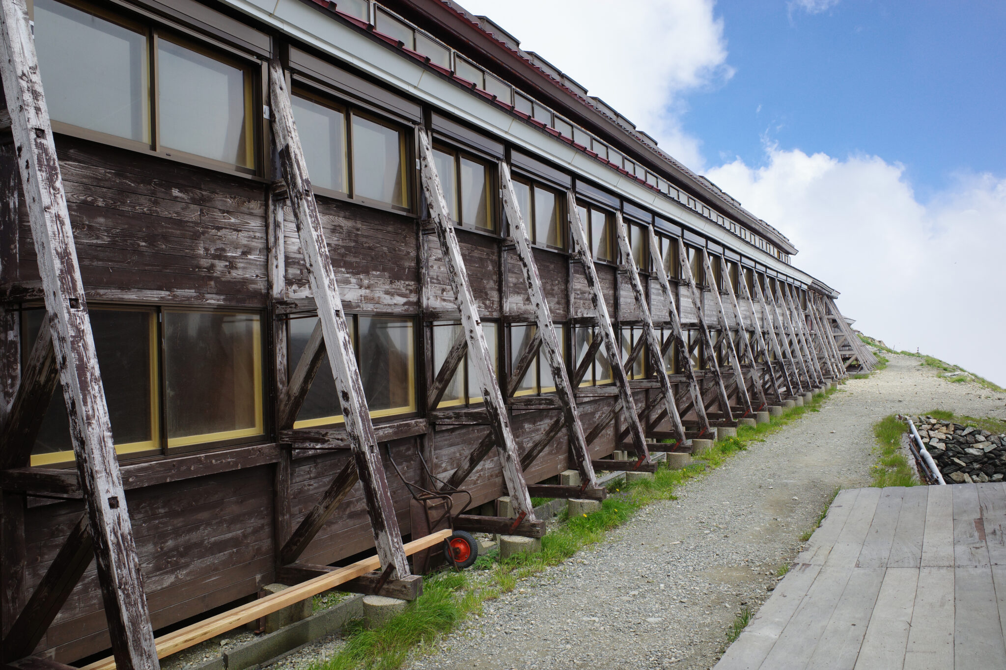
Just below the summit of Mount Shirouma (白馬岳) is Hakuba Sanso (白馬山荘), Japan’s largest mountain lodge with room for a staggering 800 people that opened in 1906. We wanted to have lunch here but the cafe was closed.
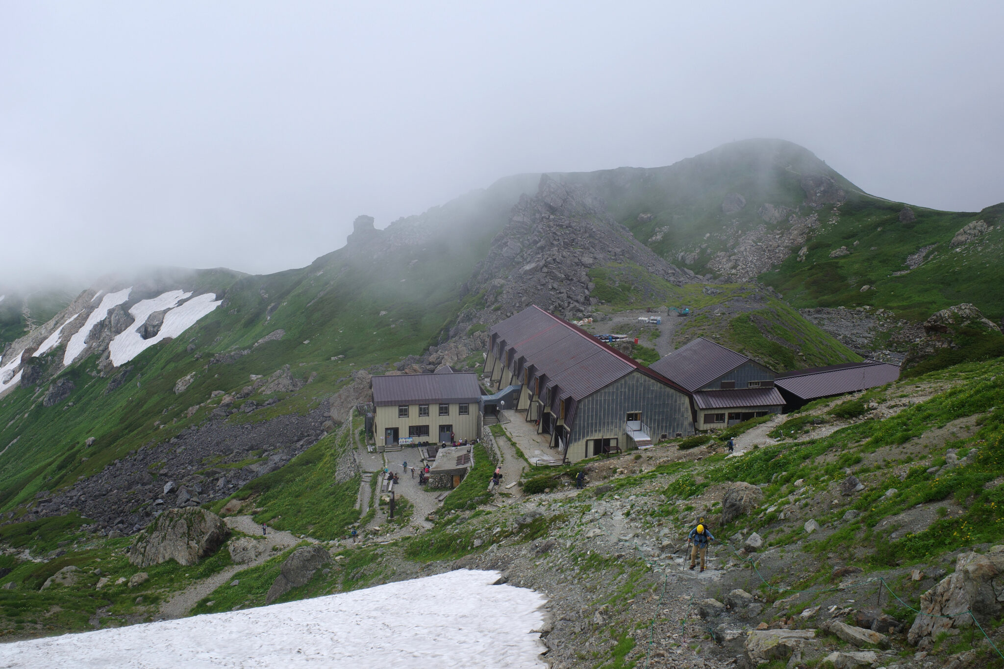
15 minutes walk below Hakuba Sanso is another large but less crowded lodge – Hakubadake Chōjōshukusha (村営 白馬岳頂上宿舎) which has a tent site at its rear. Luckily their cafe was open and we had ourselves a nice warm lunch at 1 p.m.
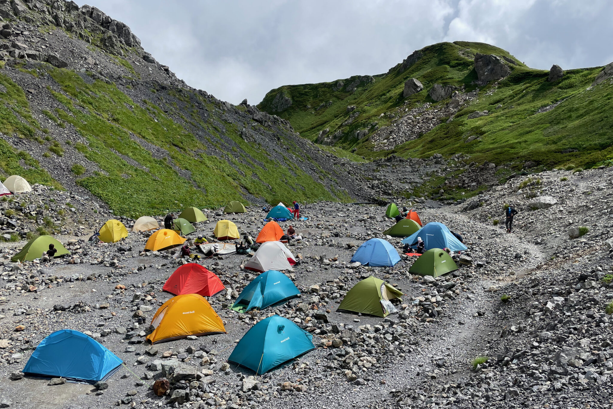
For once we were able to leisurely pitch the tent and relax for a couple of hours before cooking dinner. No sooner had we begun eating than it started raining which by 6 p.m. had turned into a full-blown storm that flattened at least one of the Montbell identi-tents.
Day 3
Hakubadake Chōjōshukusha to Sarukuraso (6 km)
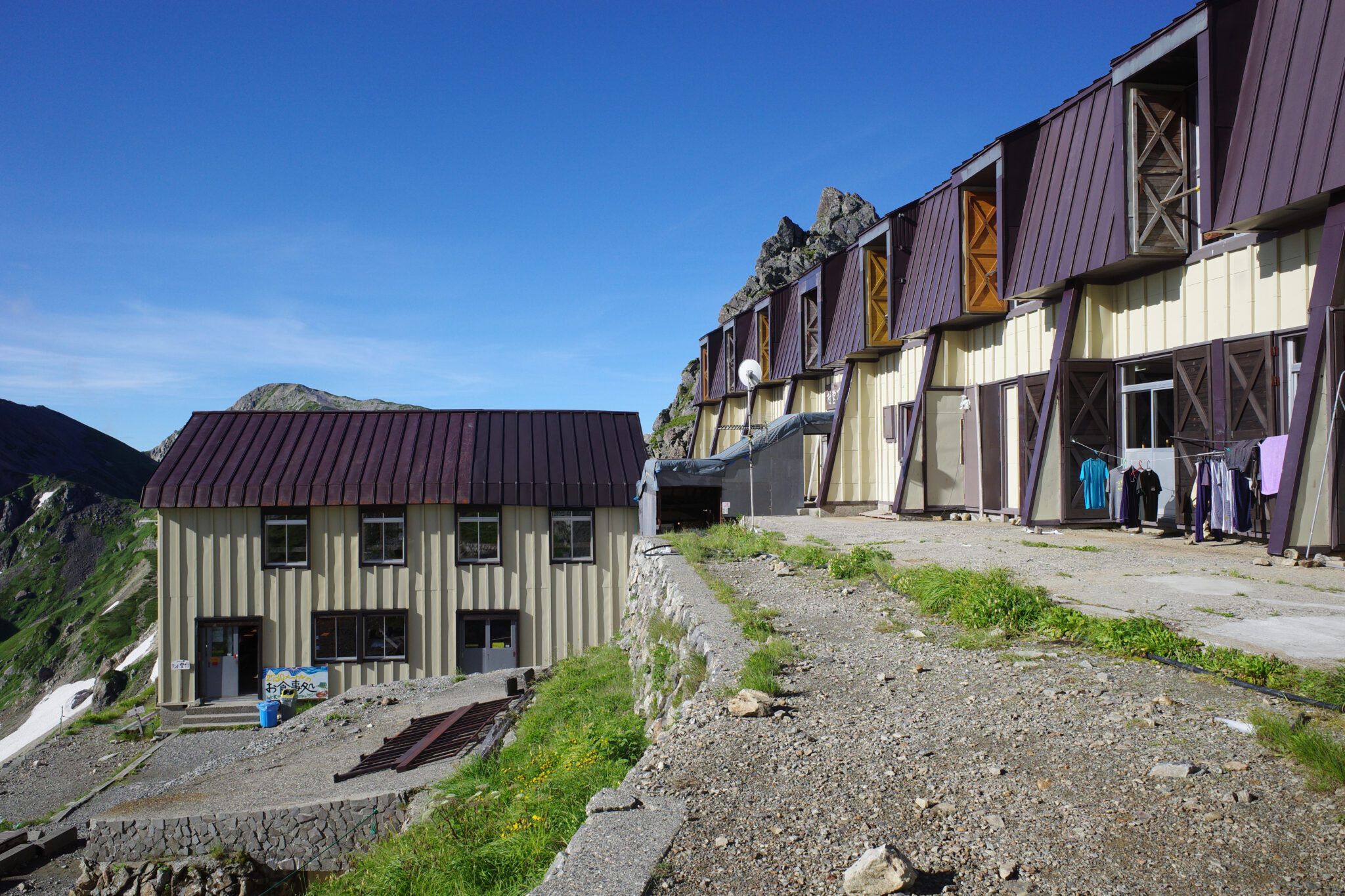
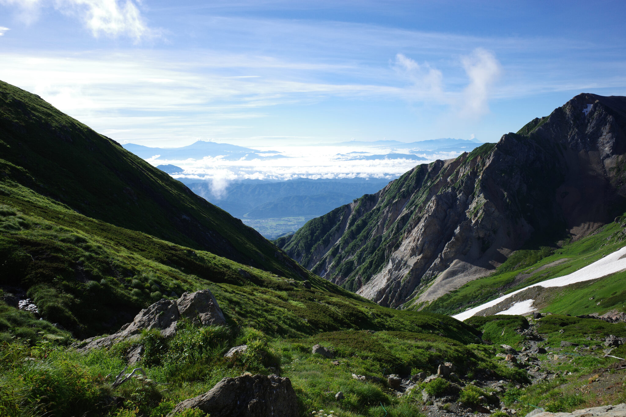
We woke in the morning, happy to find that the skies had cleared up after the storm. This was important because we’d be hiking down Hakuba Daisekkei (白馬大雪渓) – the largest snow valley in Japan with a total length of 3.5 km and an elevation difference of 600 m.
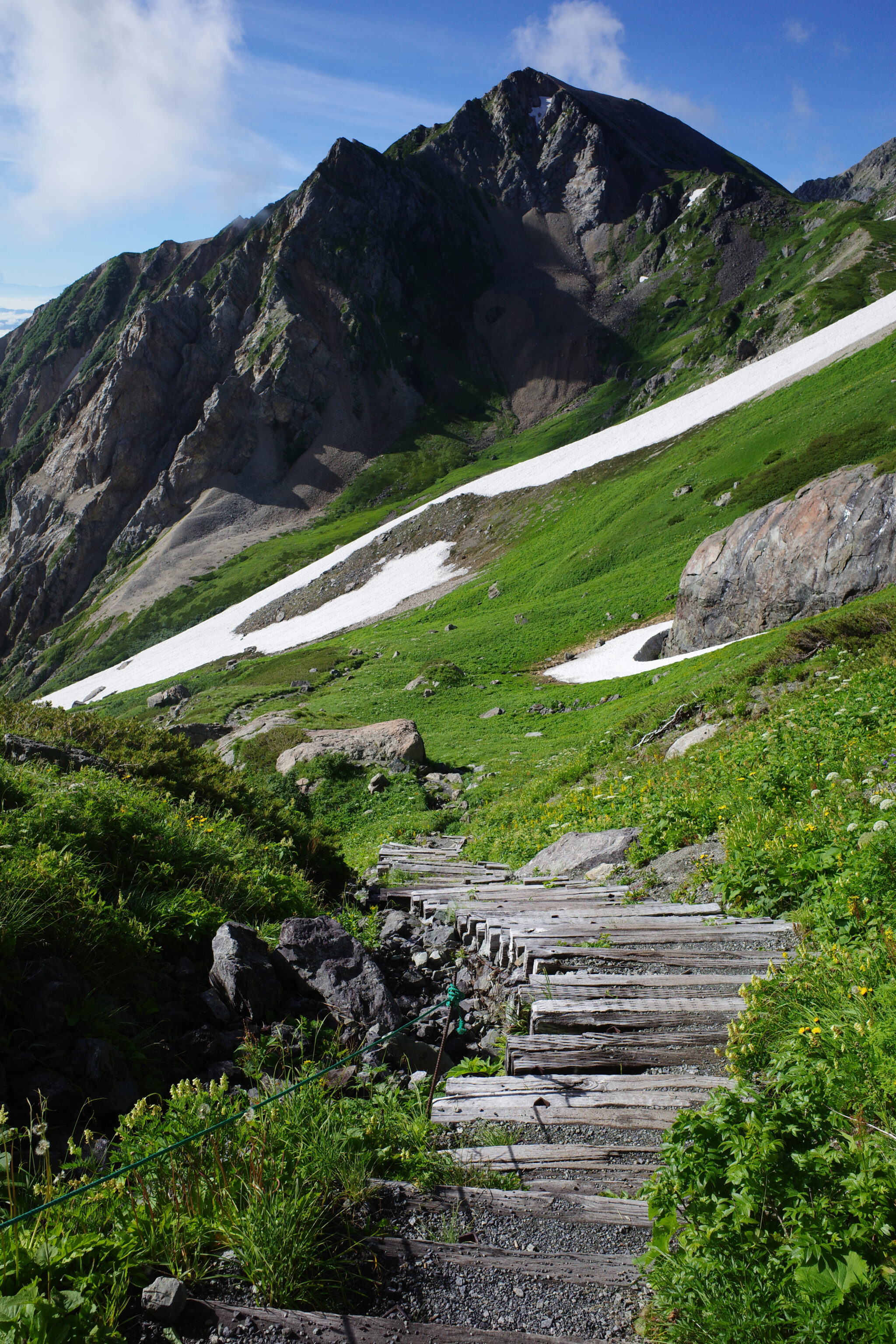
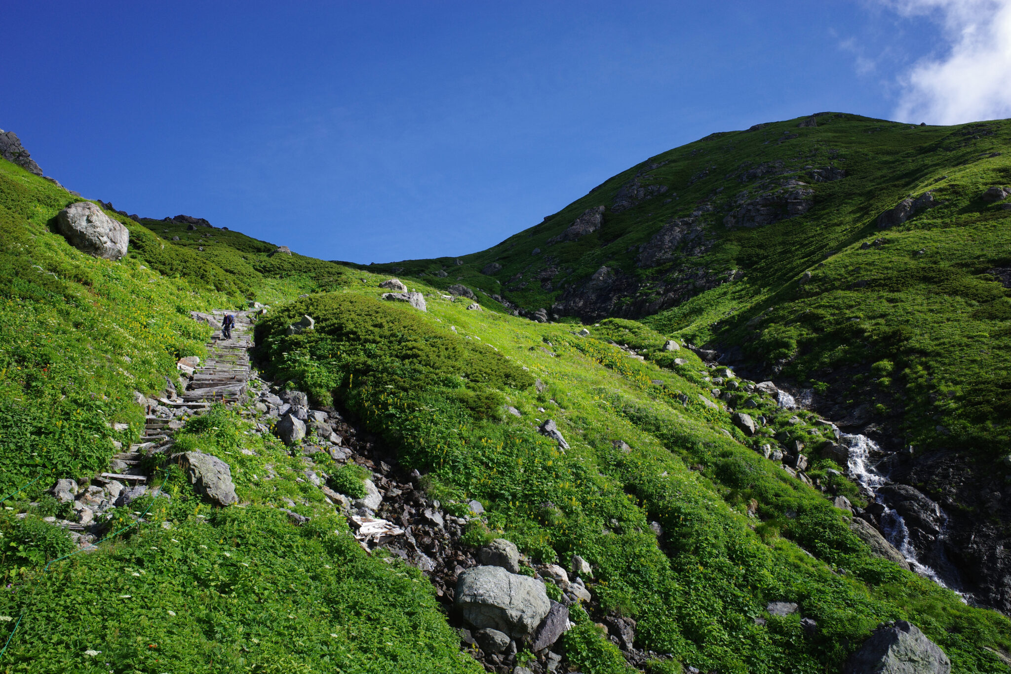
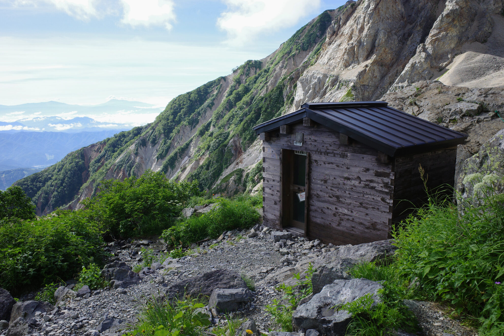
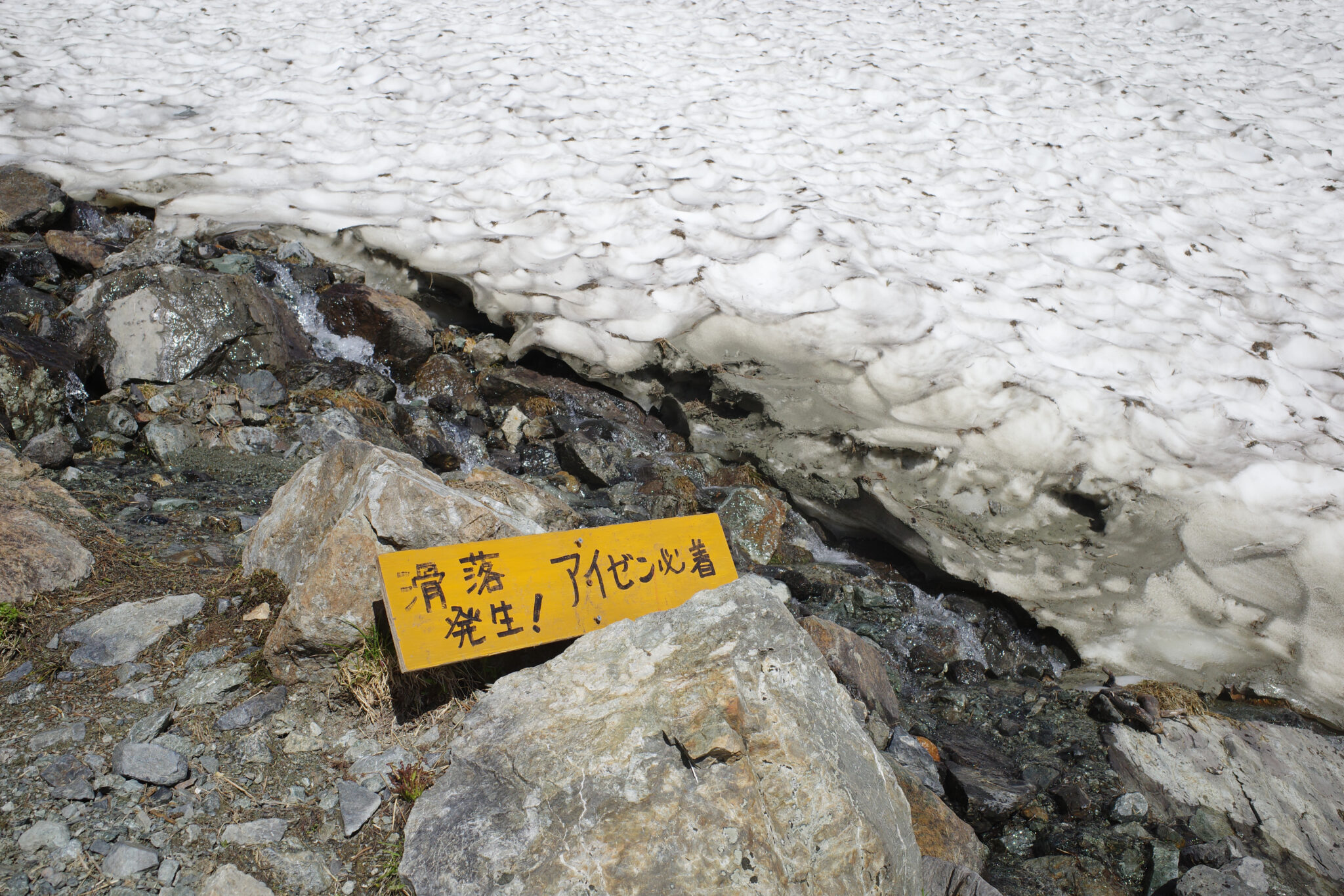
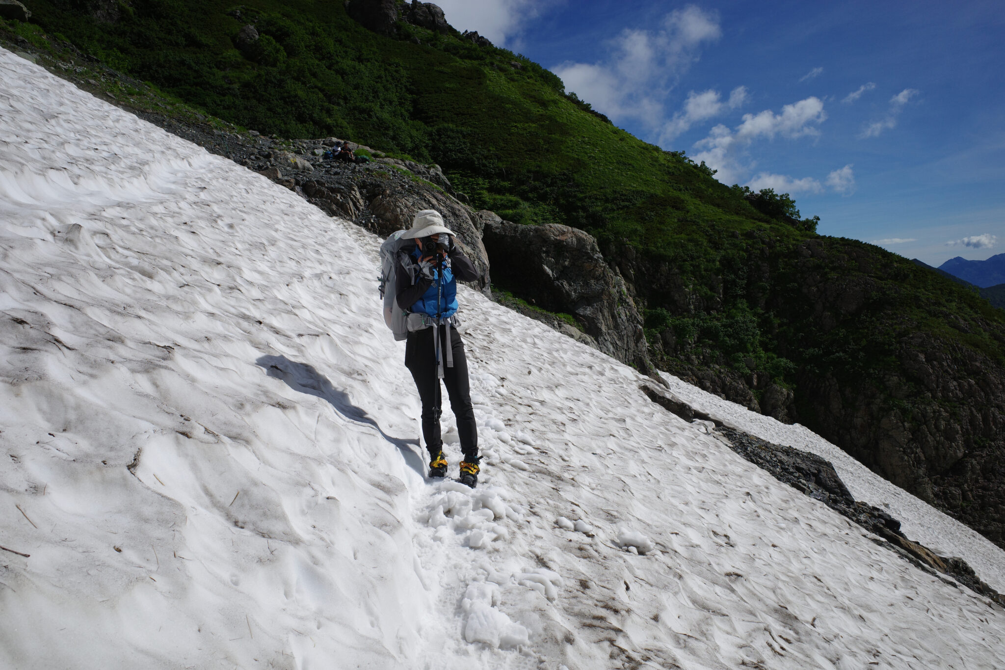
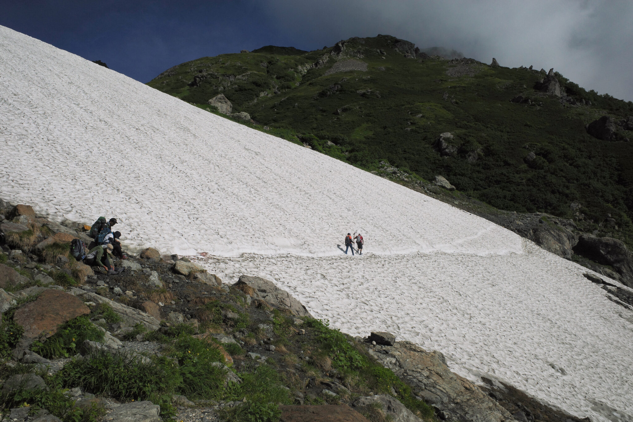
It takes around an hour of descent over solid ground until you reach the first patch of snow to be crossed. I can’t emphasise enough that you need proper crampons as a fall from here would be deadly.
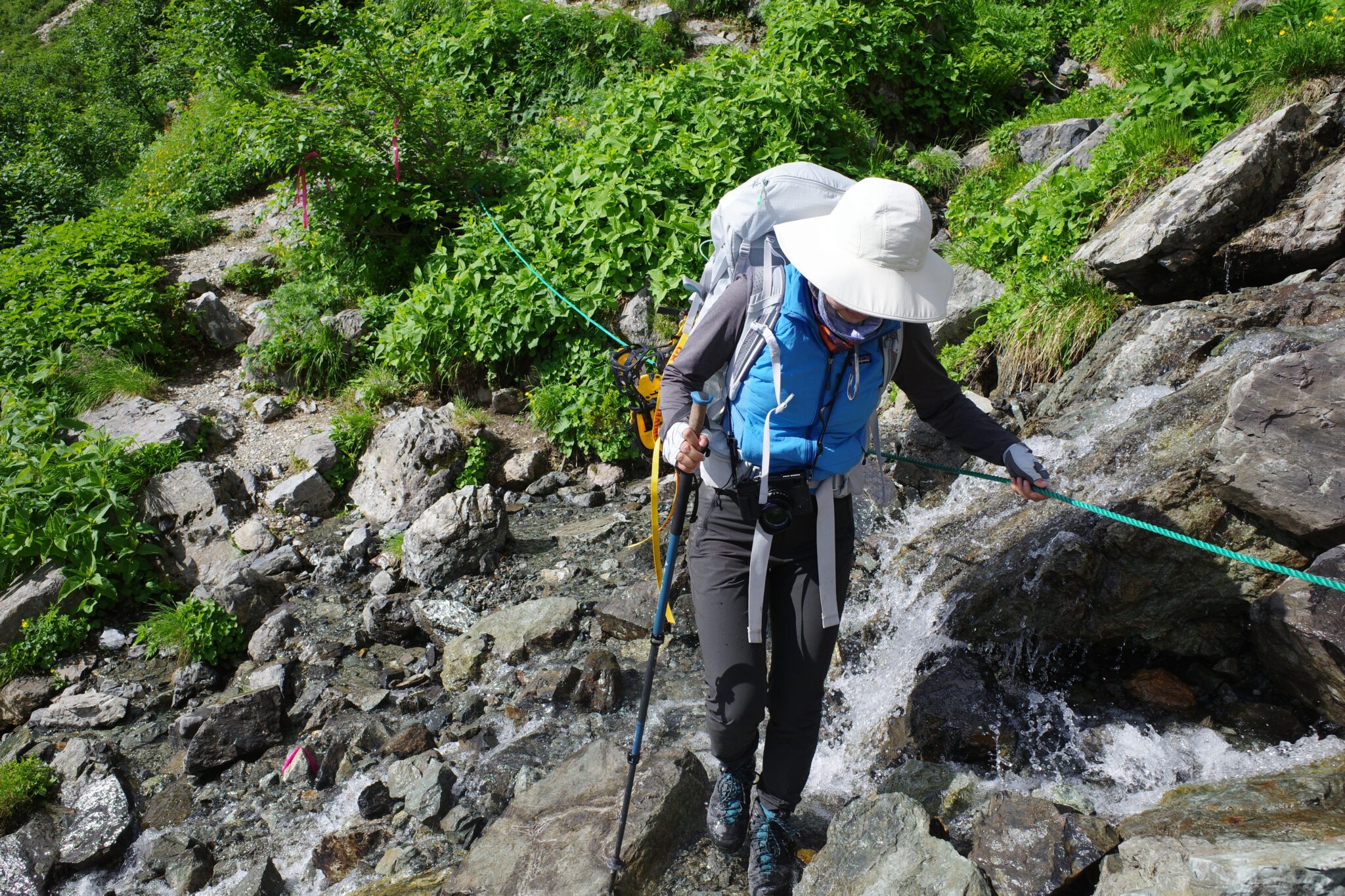
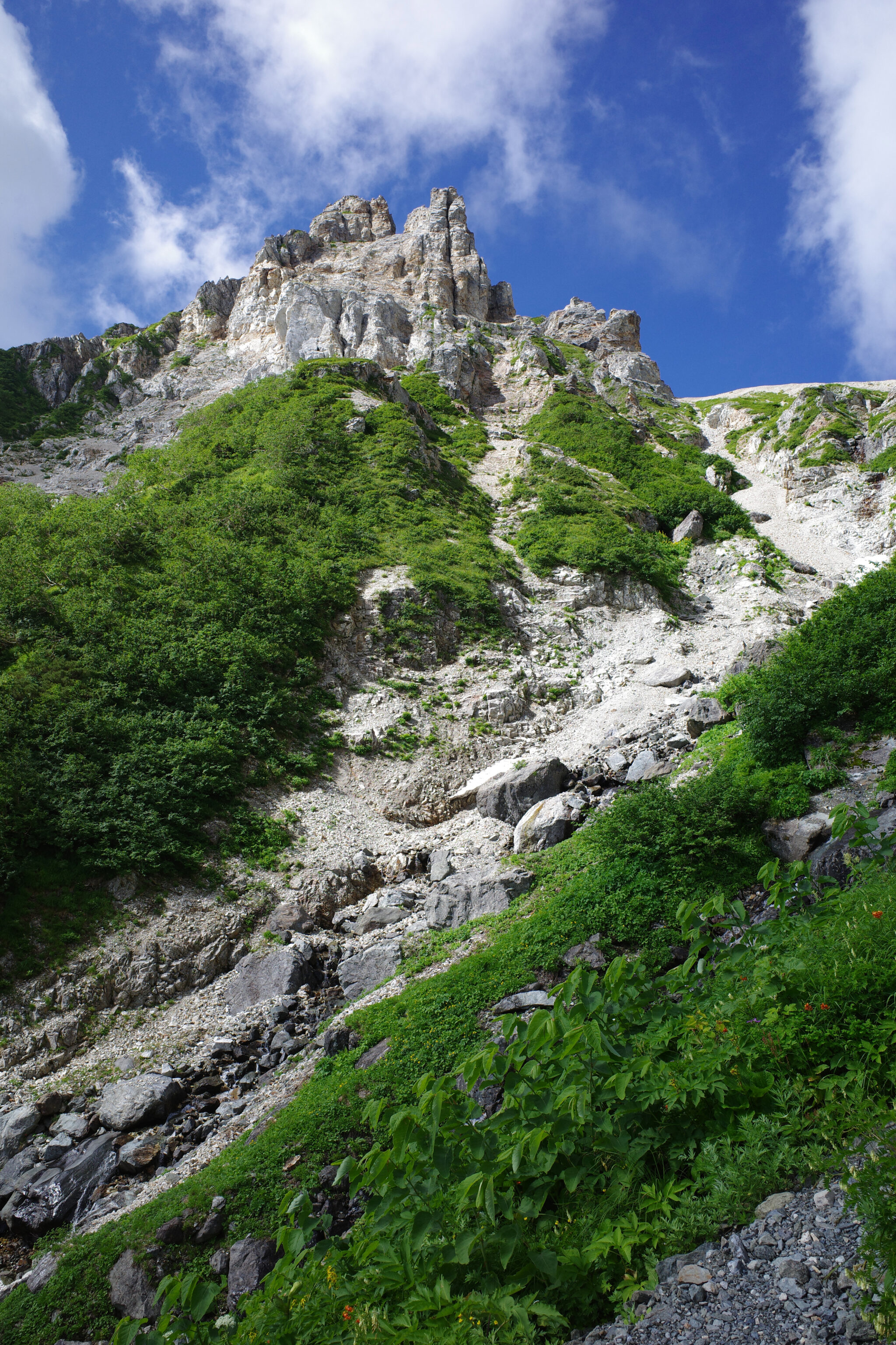
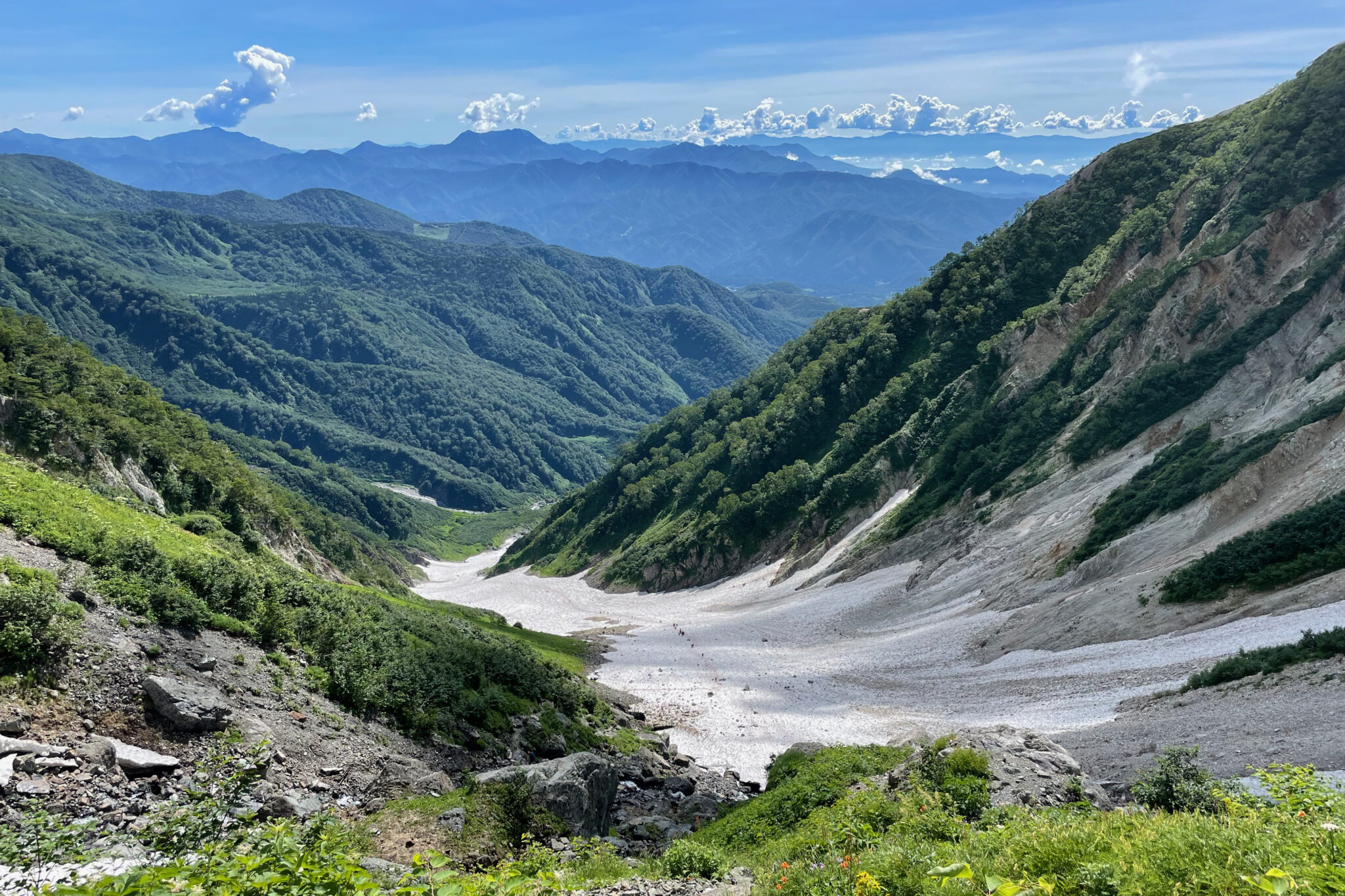
The views down the valley are stunning though we had to keep our eyes glued to our feet most of the time to ensure we didn’t take an unwanted tumble.
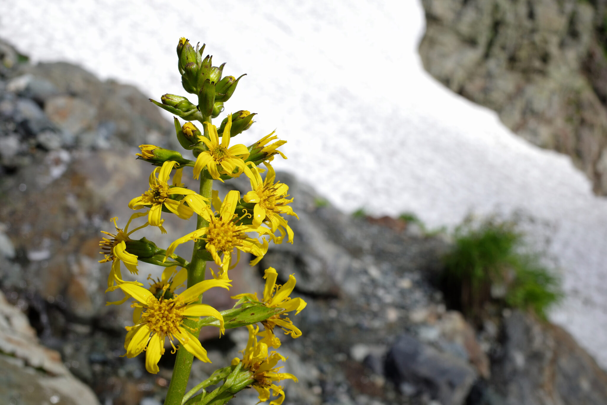
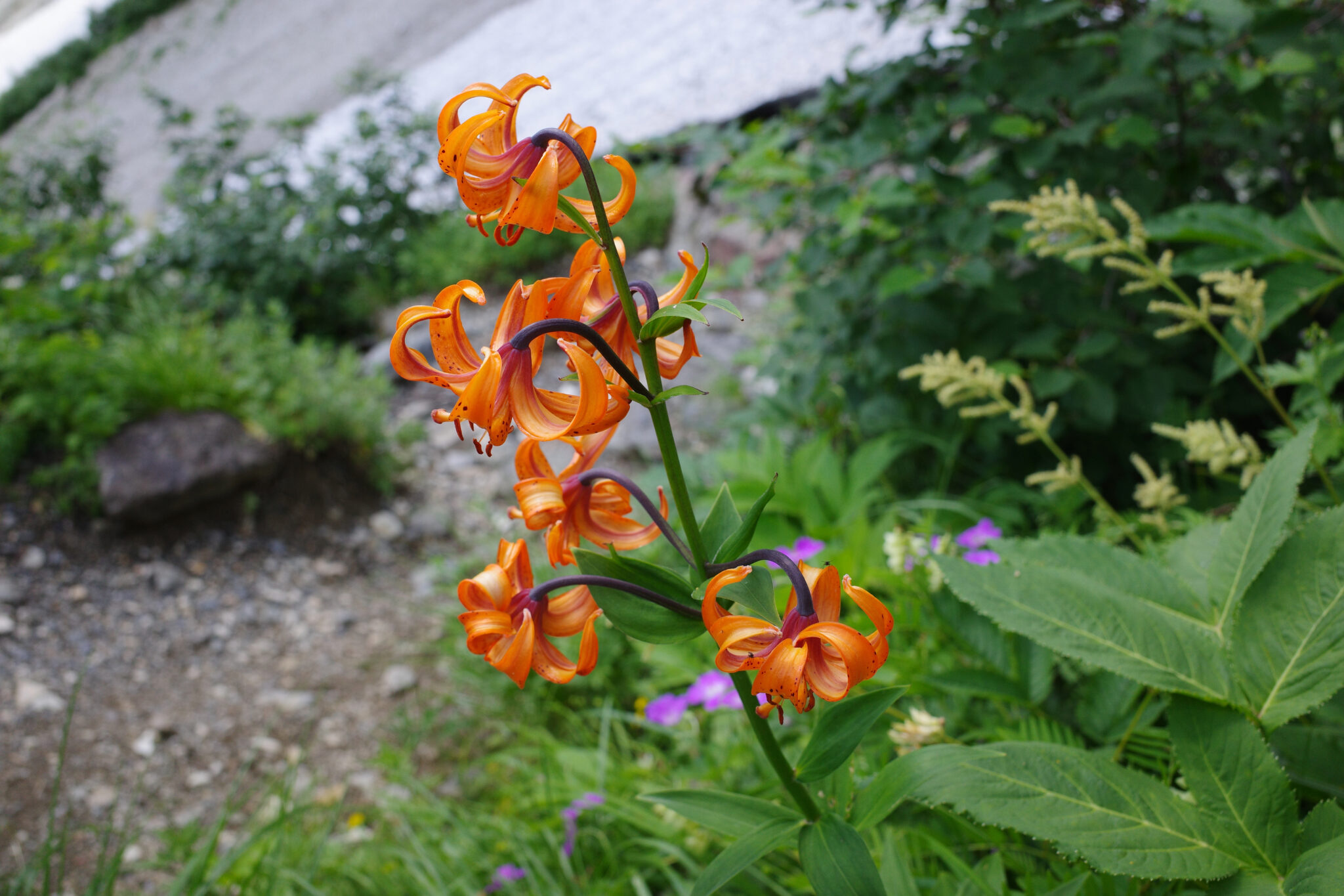
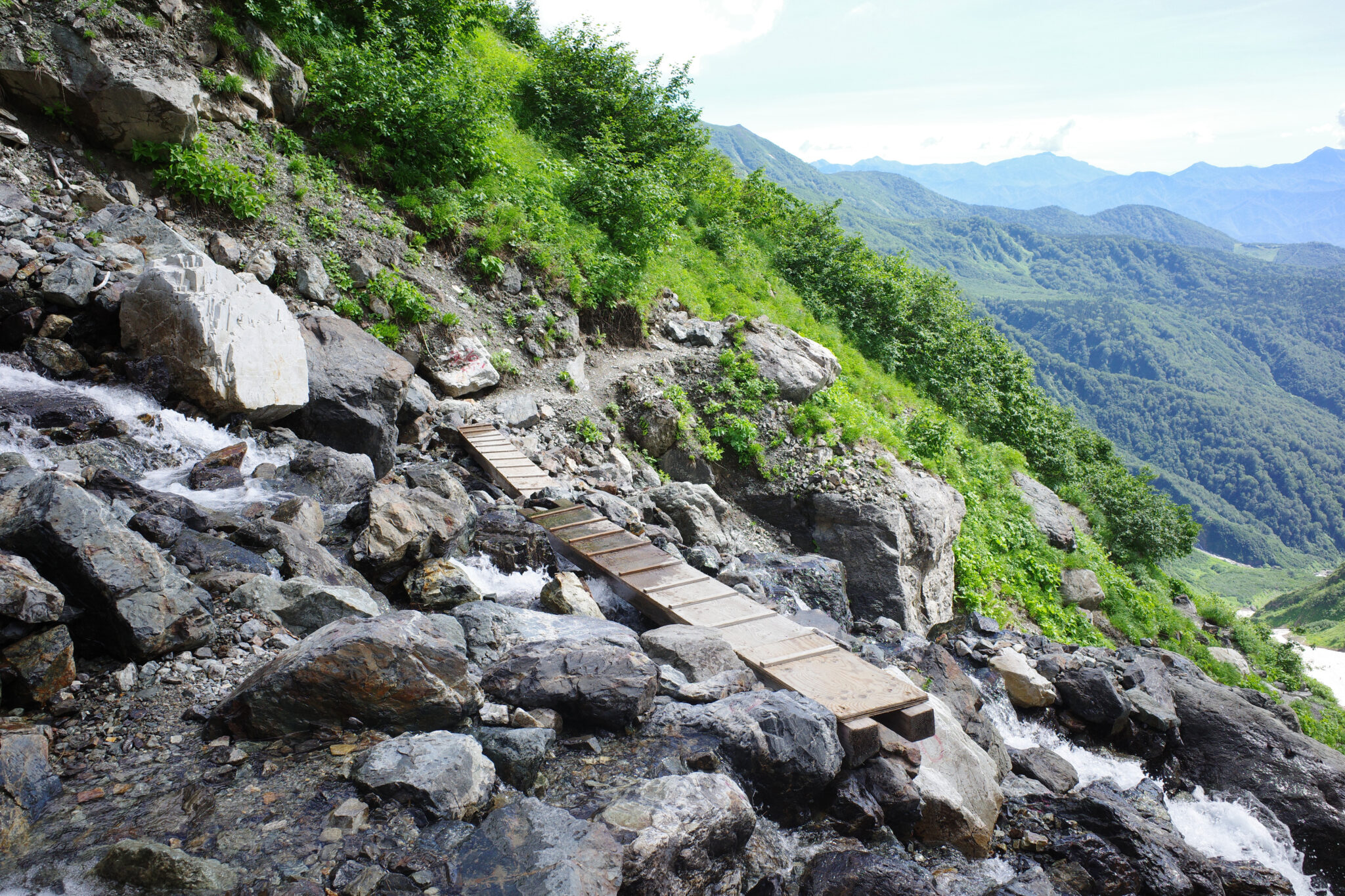
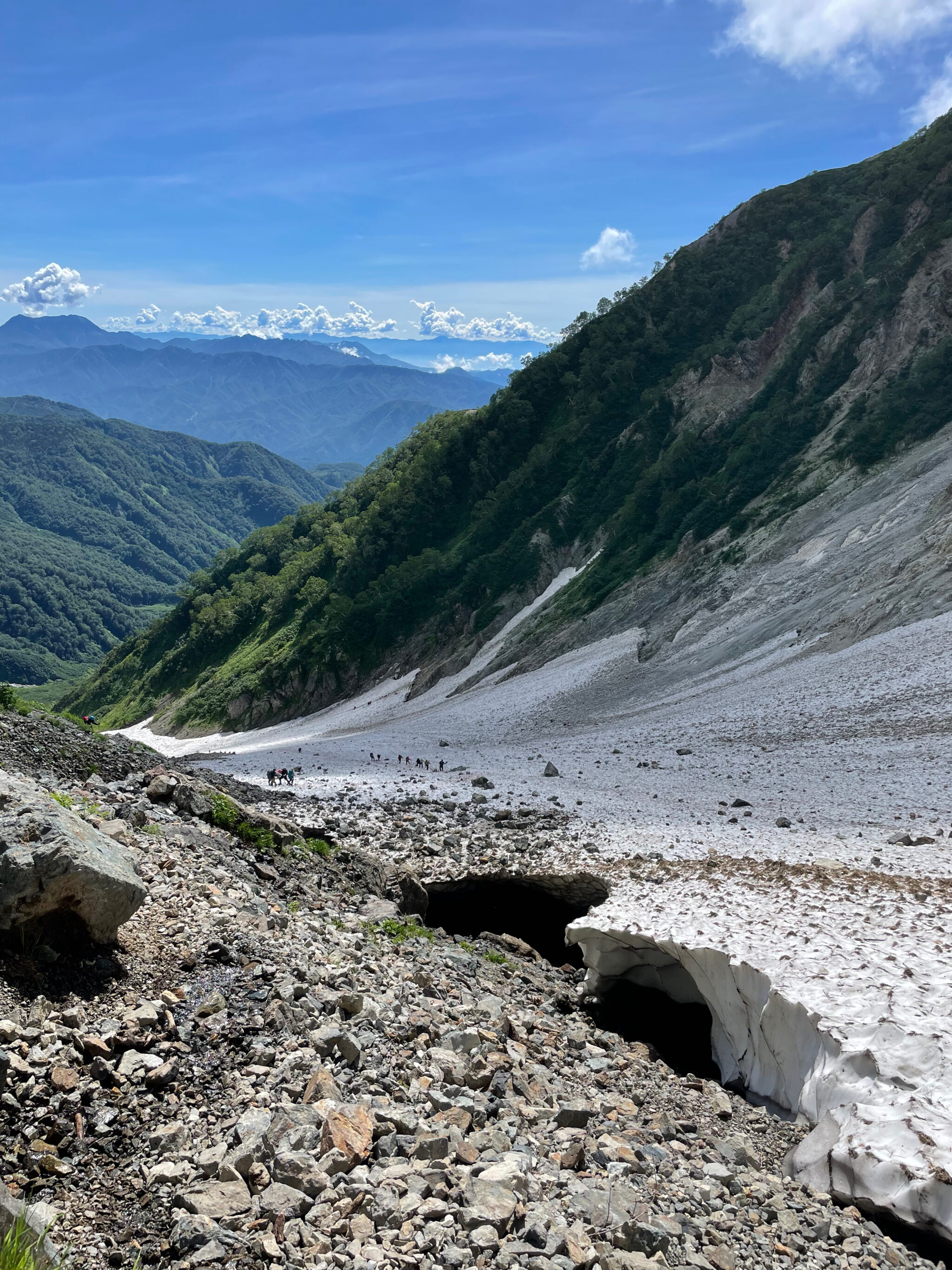
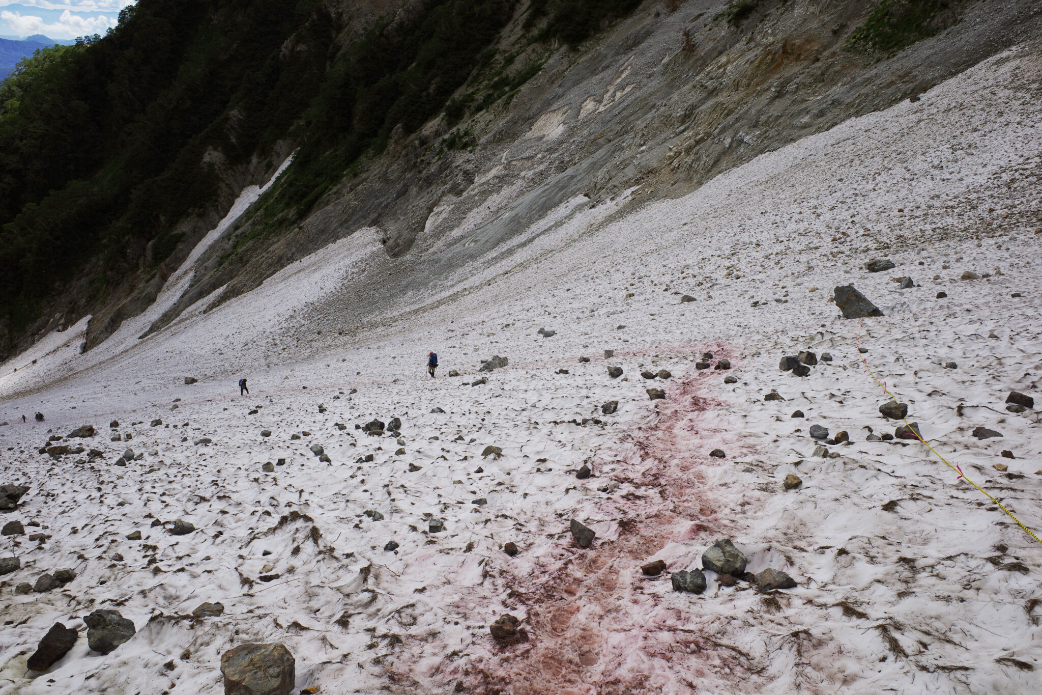
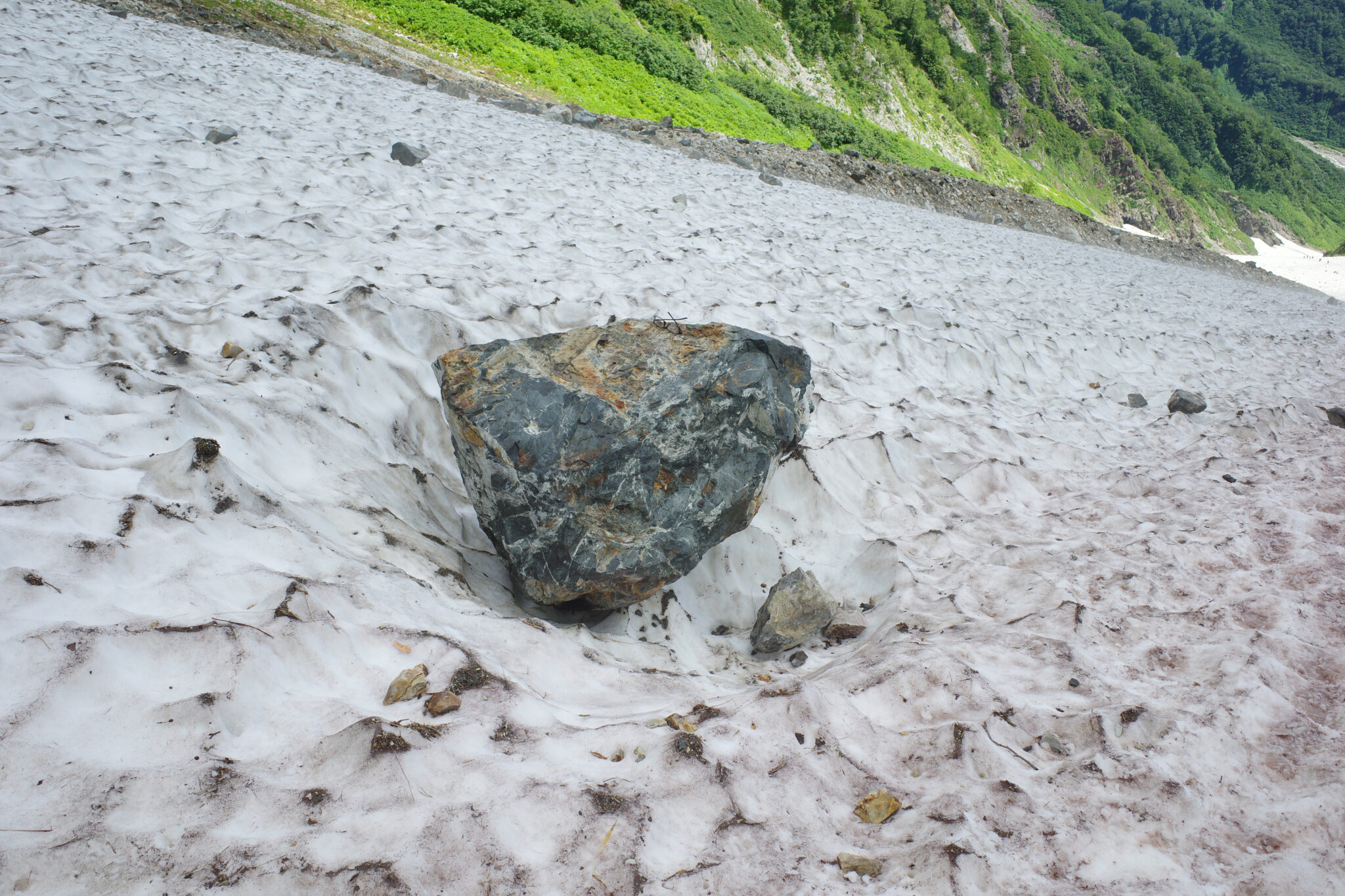
After two hours we finally joined the part of the route with traverses down the centre of the snow field. It was concerning to see both the deep crevasses at the edges and the huge boulders which littered its surface. It’s recommended to hike during the early morning when the snow hasn’t had a chance to warm up and is most stable.
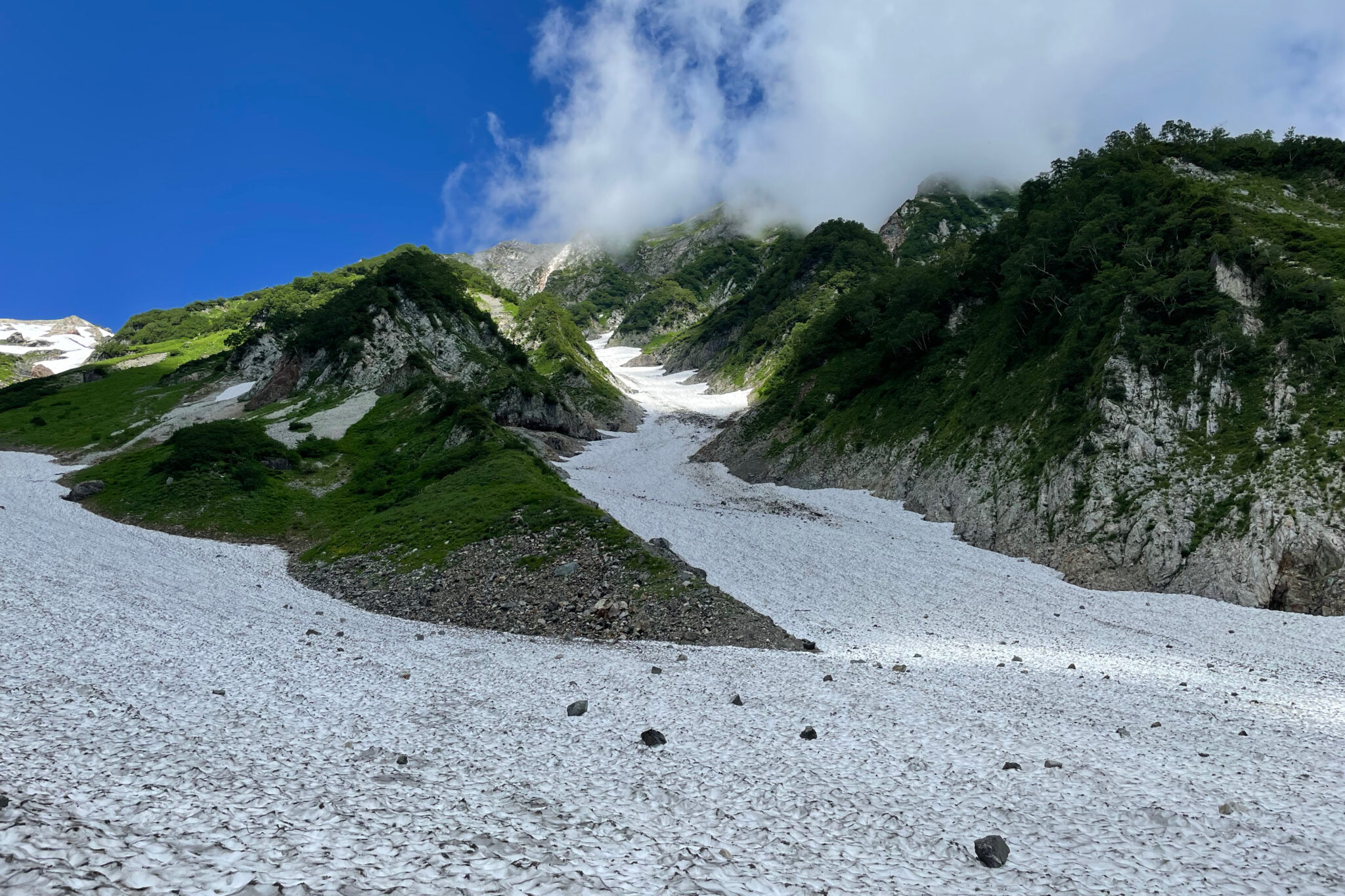
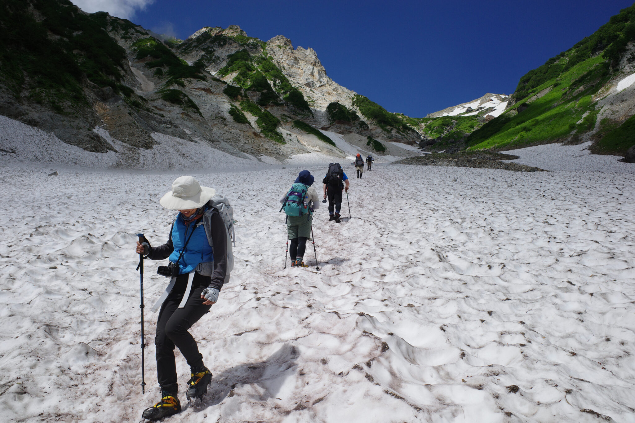
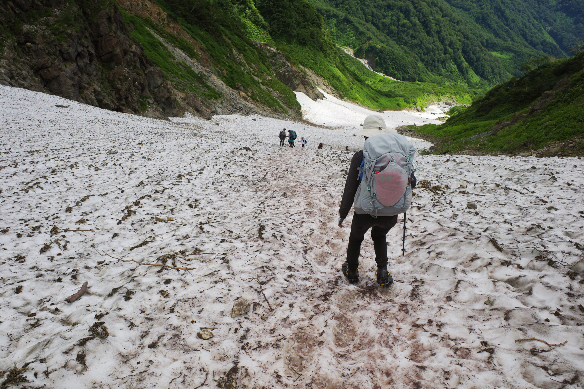
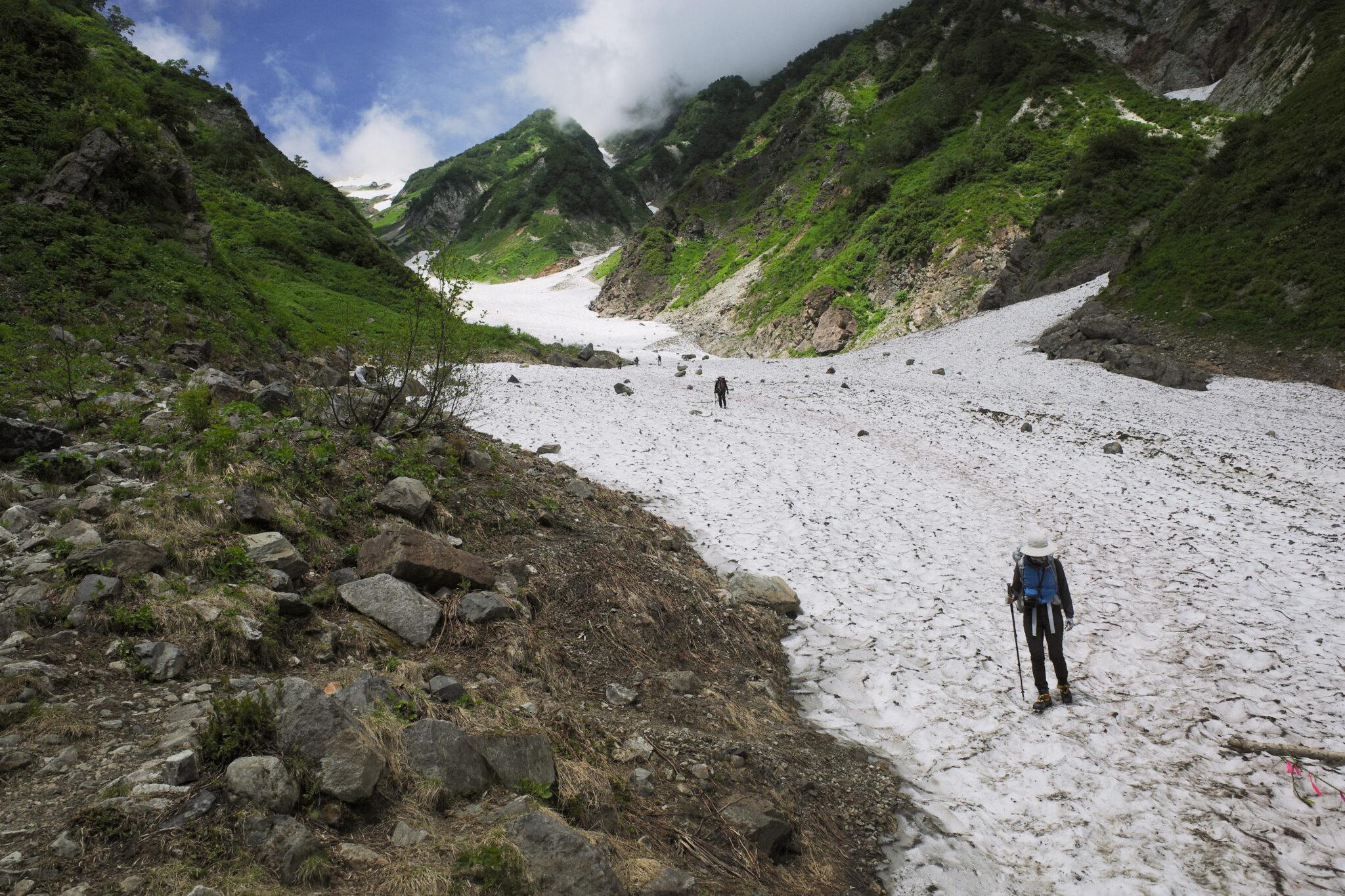
After an hour, we made it back to dry land. It was a truly special experience hiking over the snow between jagged mountains on either side though I’m glad we were going down rather than up which looked gruelling.
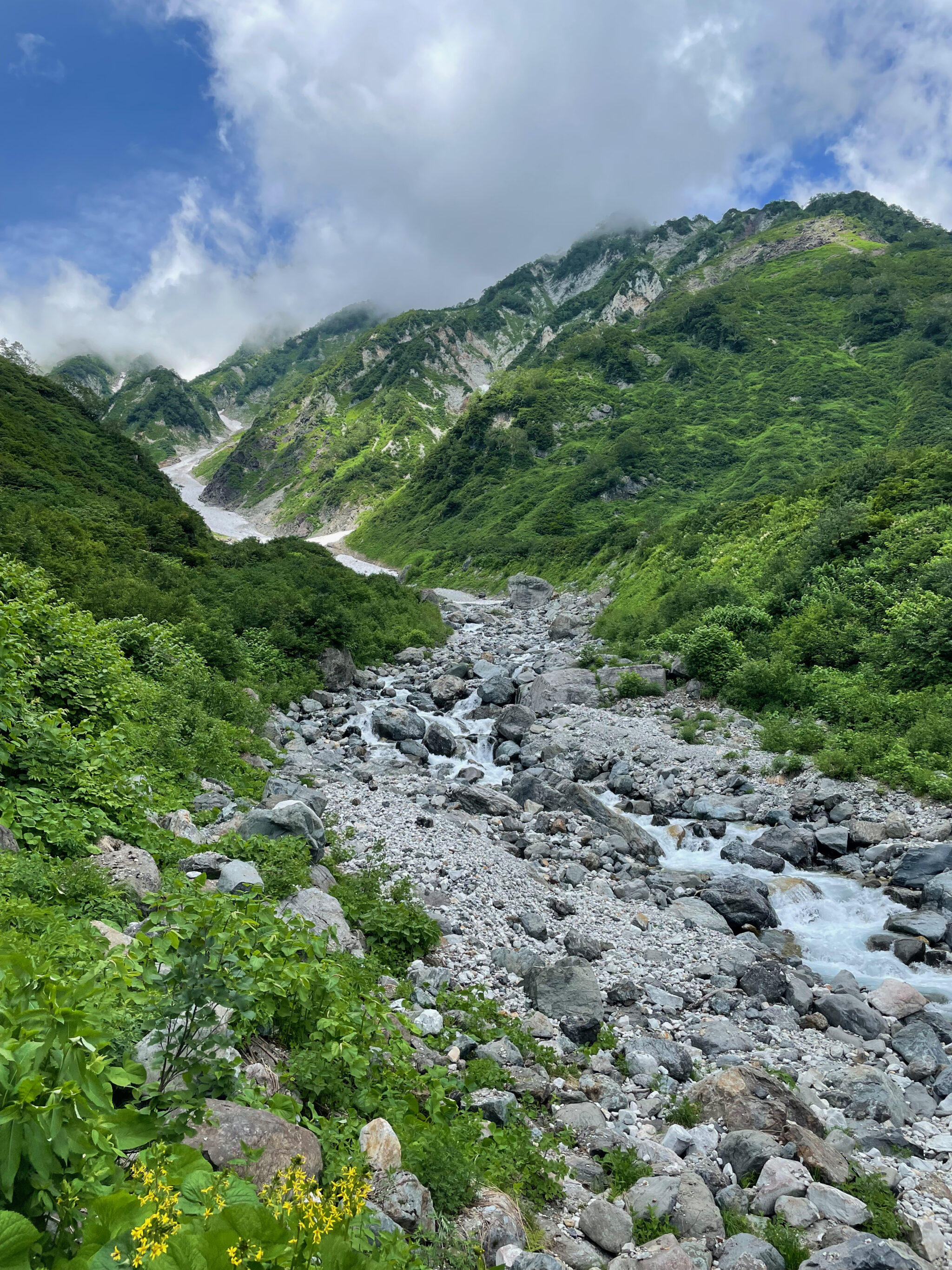
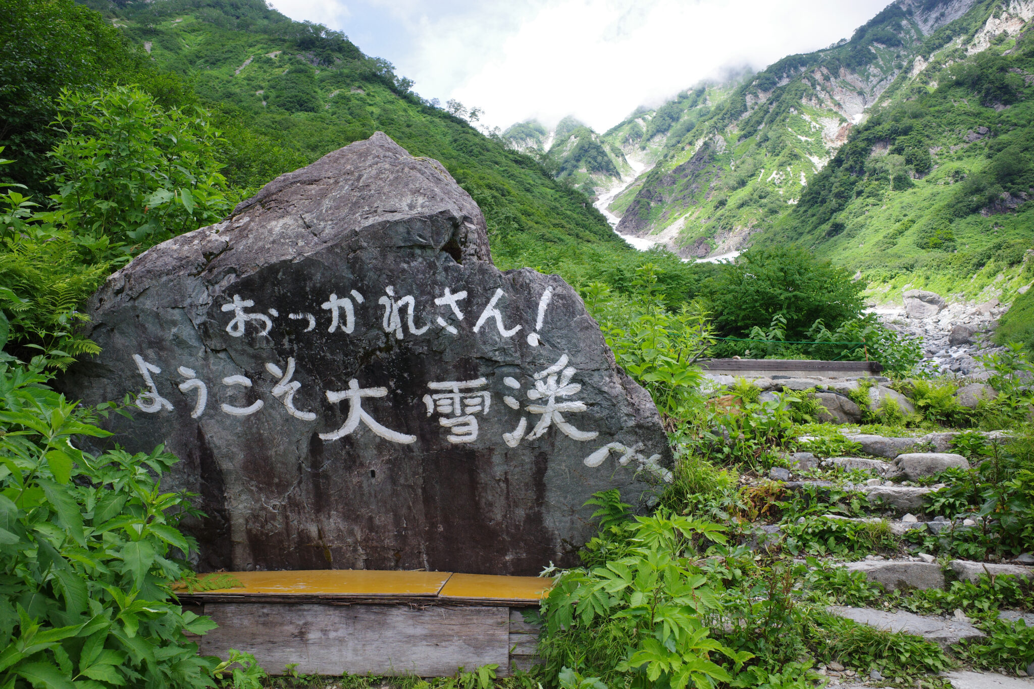
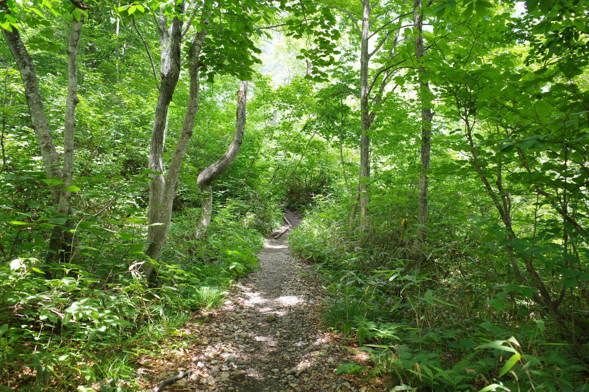
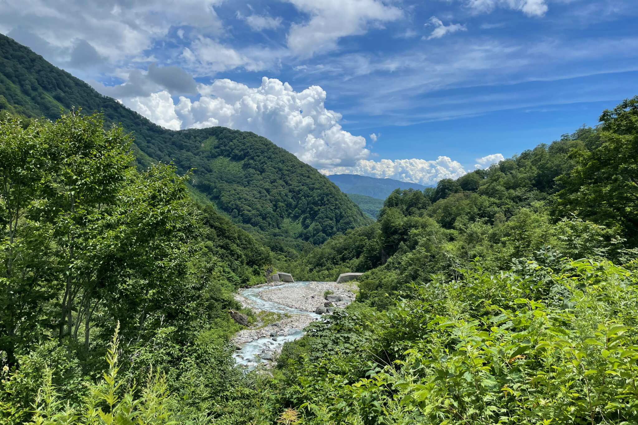
The trail winds its way down the valley for another couple of hours until Sarukuraso (猿倉荘) lodge where we stopped for lunch.
From here you can take a bus to Hakuba Happo Bus Terminal (八方インフォメーションセンター) which is conveniently right next to Hakuba Happo Onsen (♨️ 八方の湯) where you can soak your weary body before catching the train back to Tokyo.

Reply