After rising at a spritely 6 am we visited Ise Jingu Geku near our guesthouse.
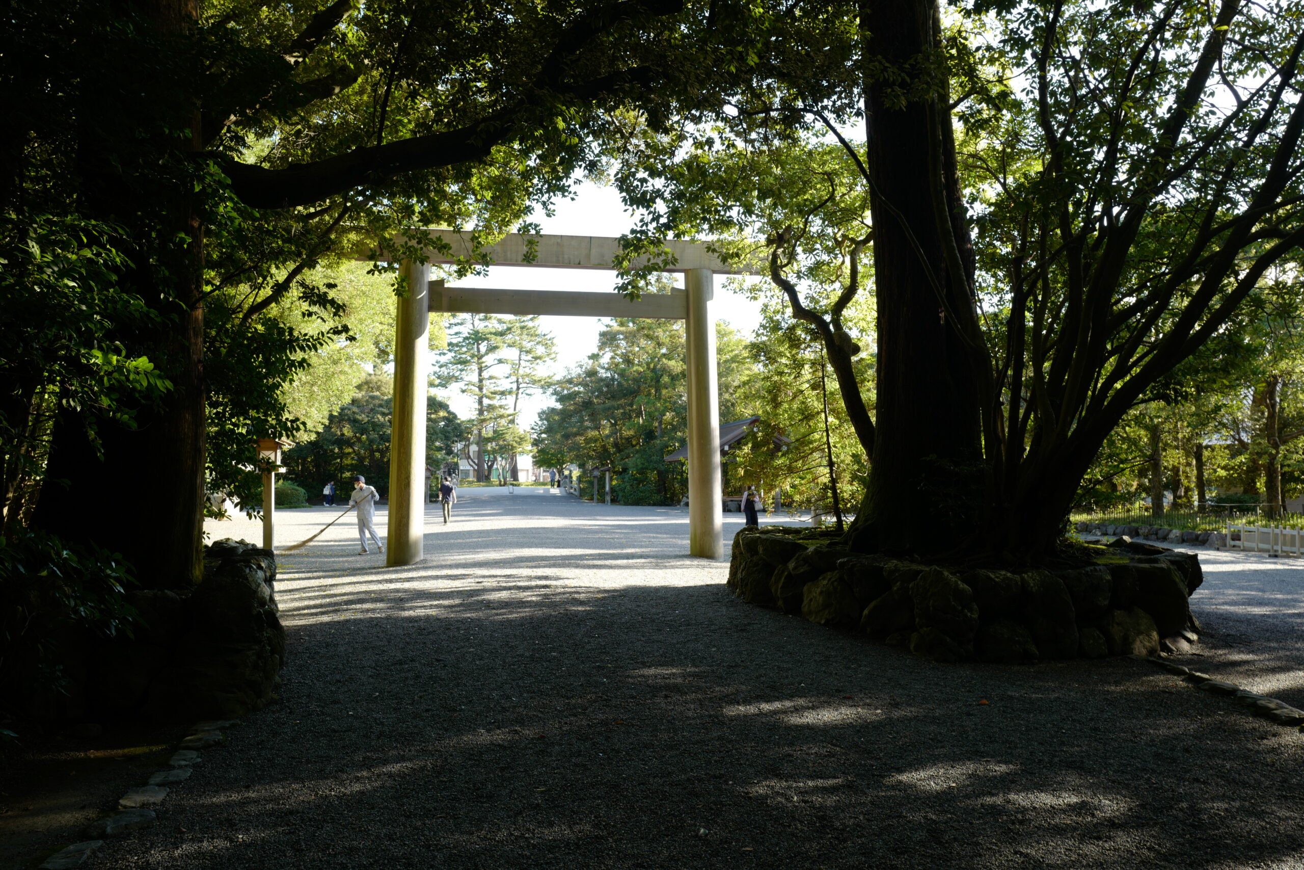
While not as elaborate as the inner shrine we saw yesterday, the grounds are still a marvel of the Japanese ability to tame nature. Though it looks effortless, it must be a huge amount of work to maintain.
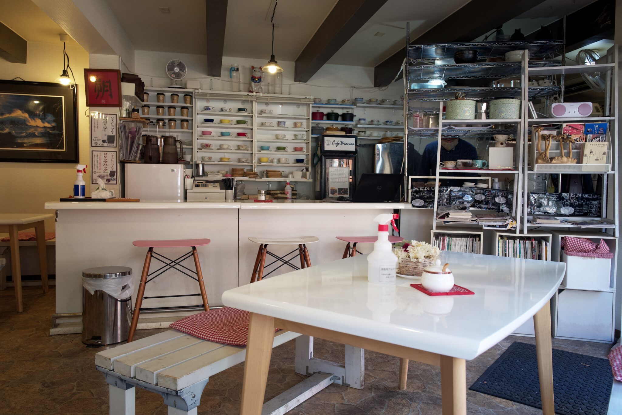

Walking back towards the station, we stopped for breakfast at Cafe Bianca (カフェ ビアンカ), a quaint kissaten run by an older couple. The french toast was exceptional.
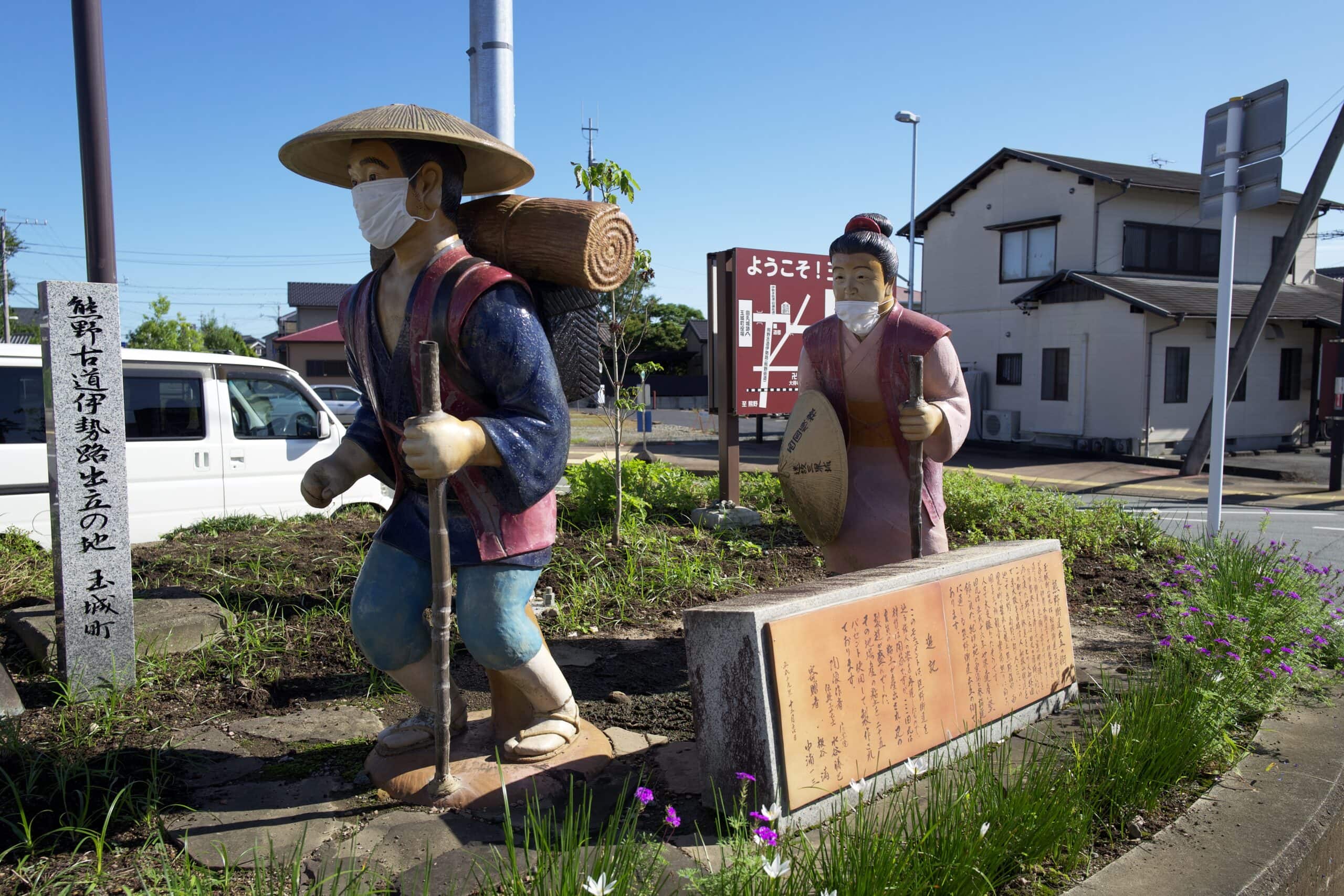
Having spent much of the year at home, we didn’t feel like jumping straight into a long road walk, so elected to take the train from Iseshi (伊勢市駅) to Tamaru (田丸駅), cutting off about 7km.
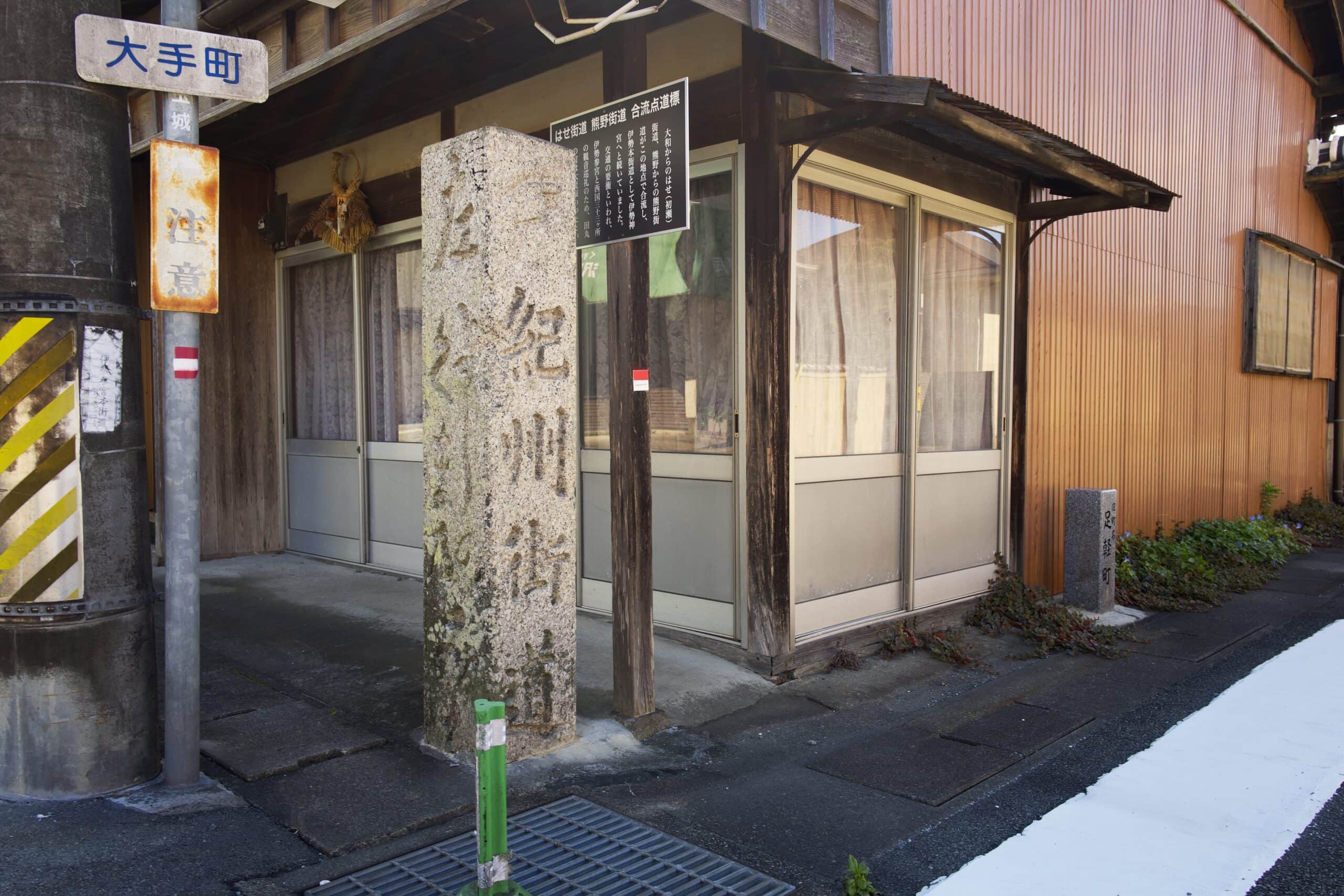
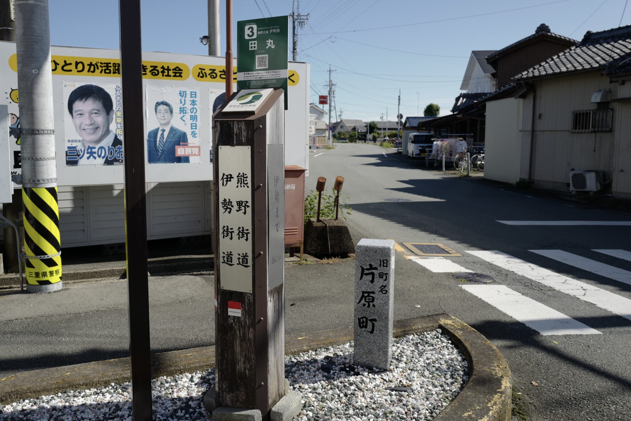
Shortly after getting off the train, we spotted the first of many Ise-ji route markers. There’s a mix of old stone ones, and newer wooden ones placed by the tourism association.
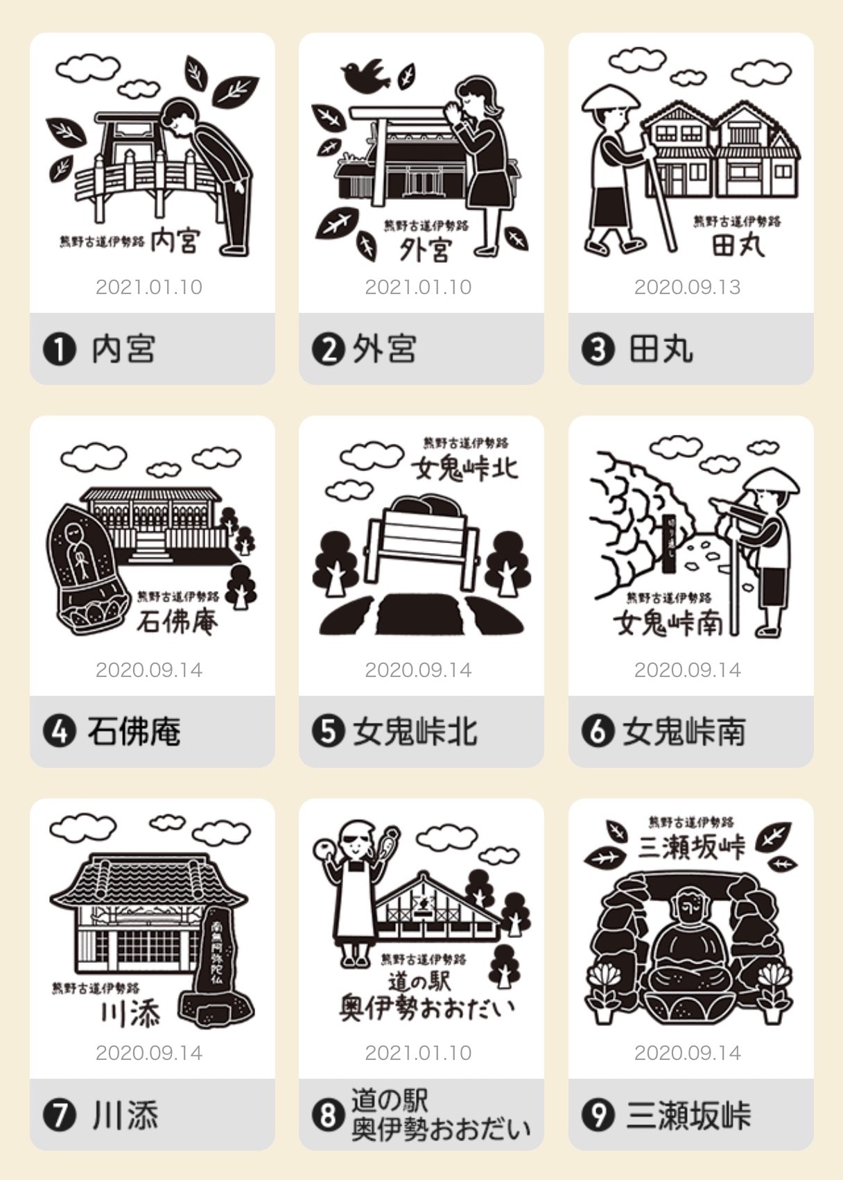
The newer markers have QR codes on the top which you can scan to collect virtual stamps on your way along the trail; a rather creative way for them to collect data on walkers!
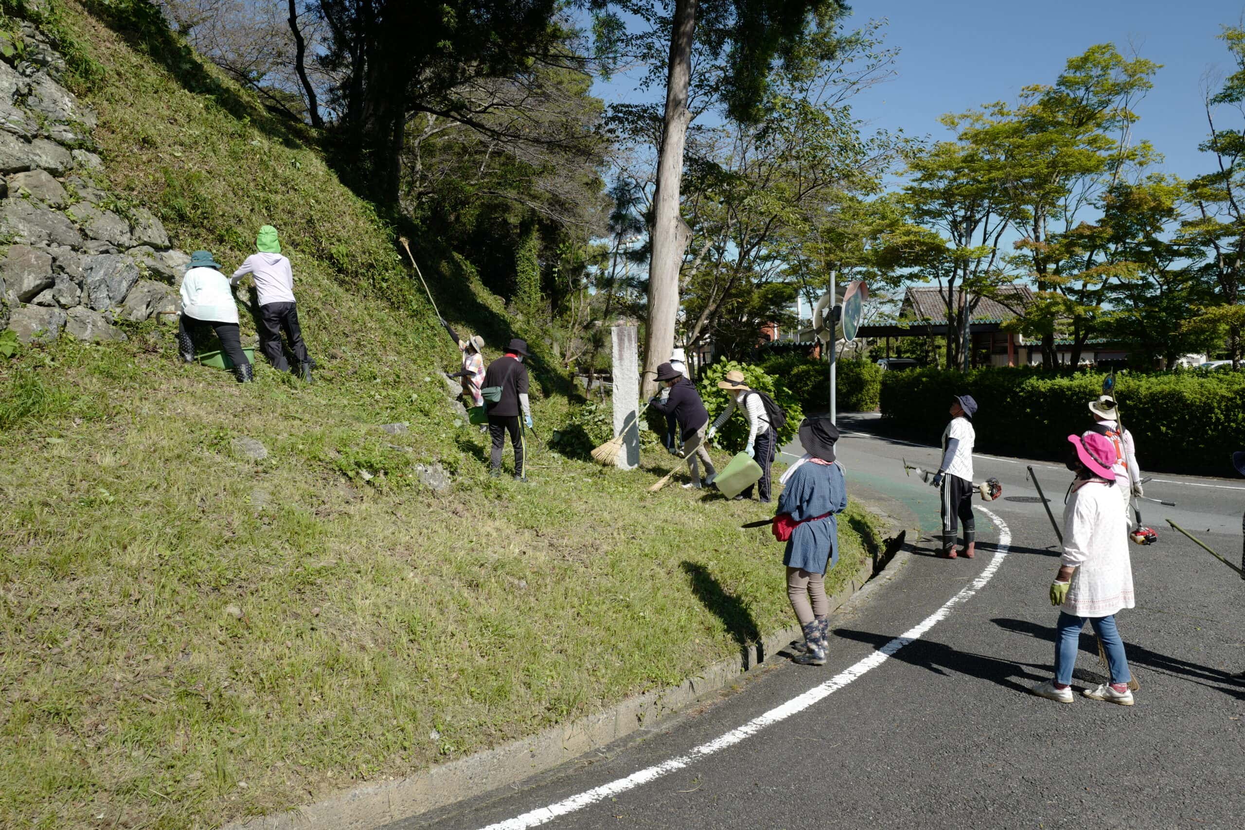
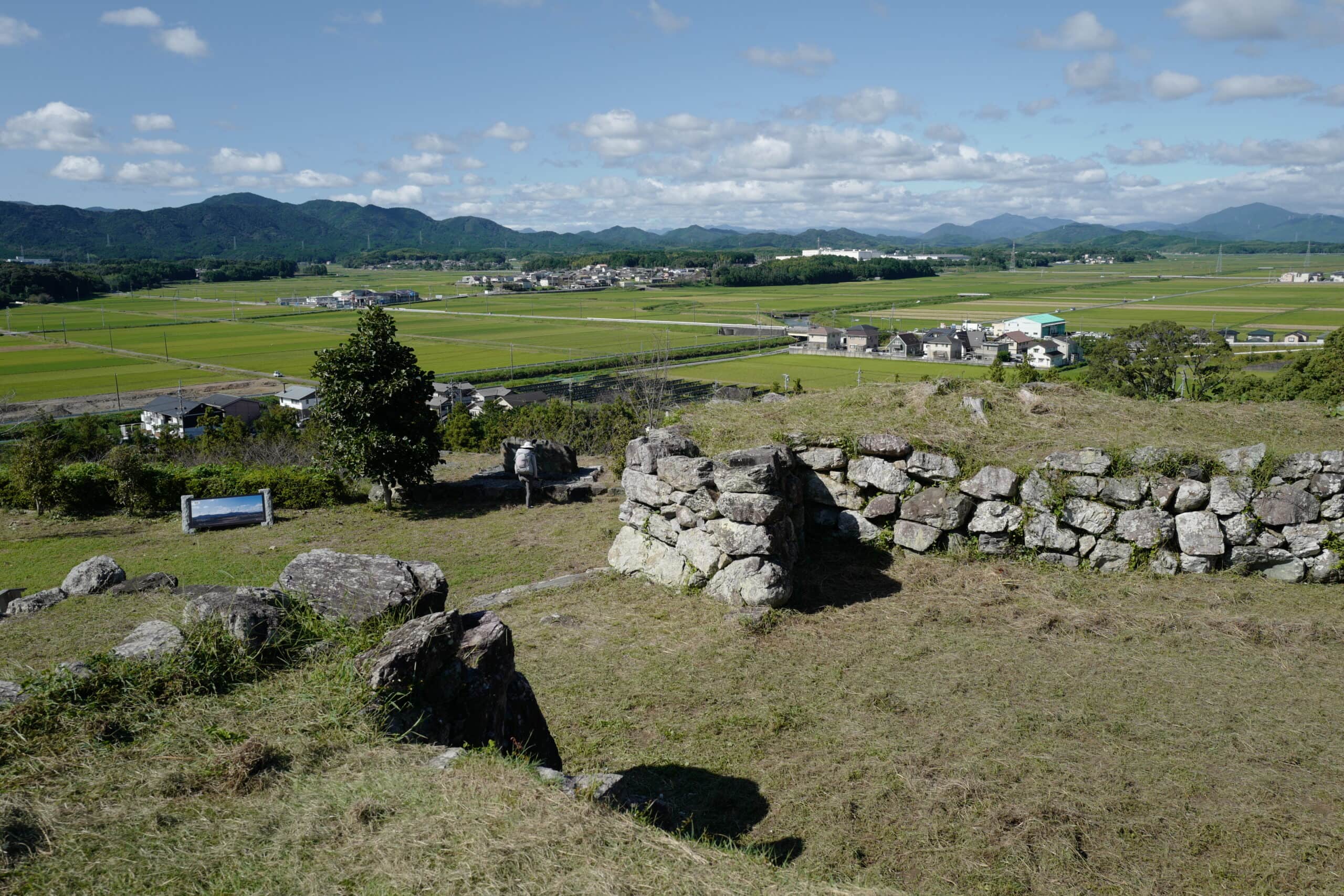
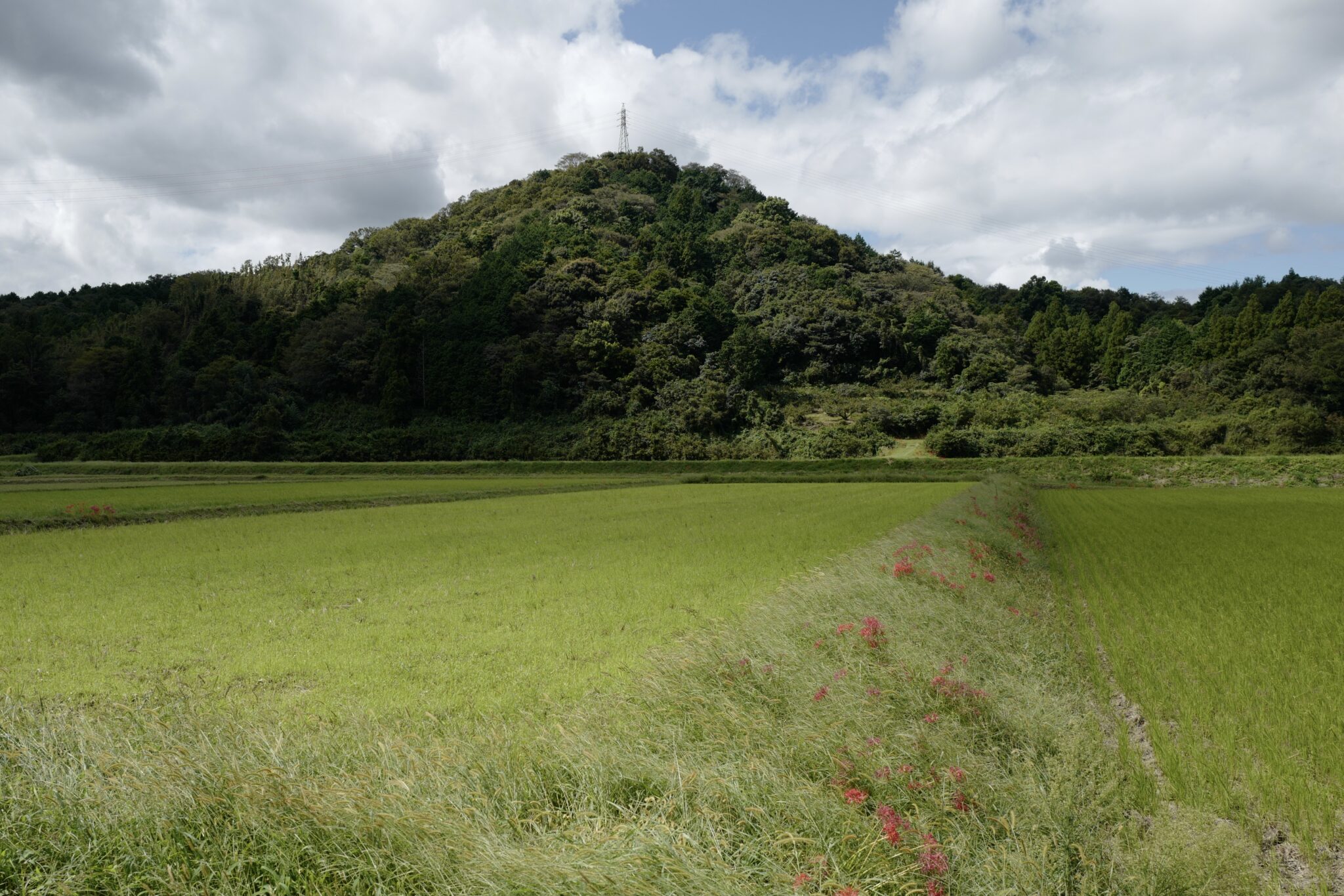
It’s worth walking up to the remains of Tamaru Castle (田丸城) where you can get a fantastic view of the path ahead.
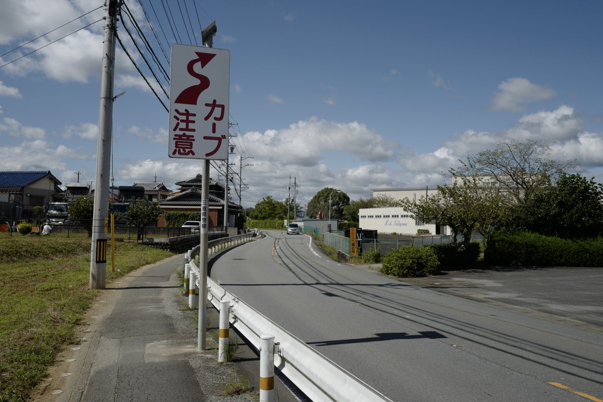
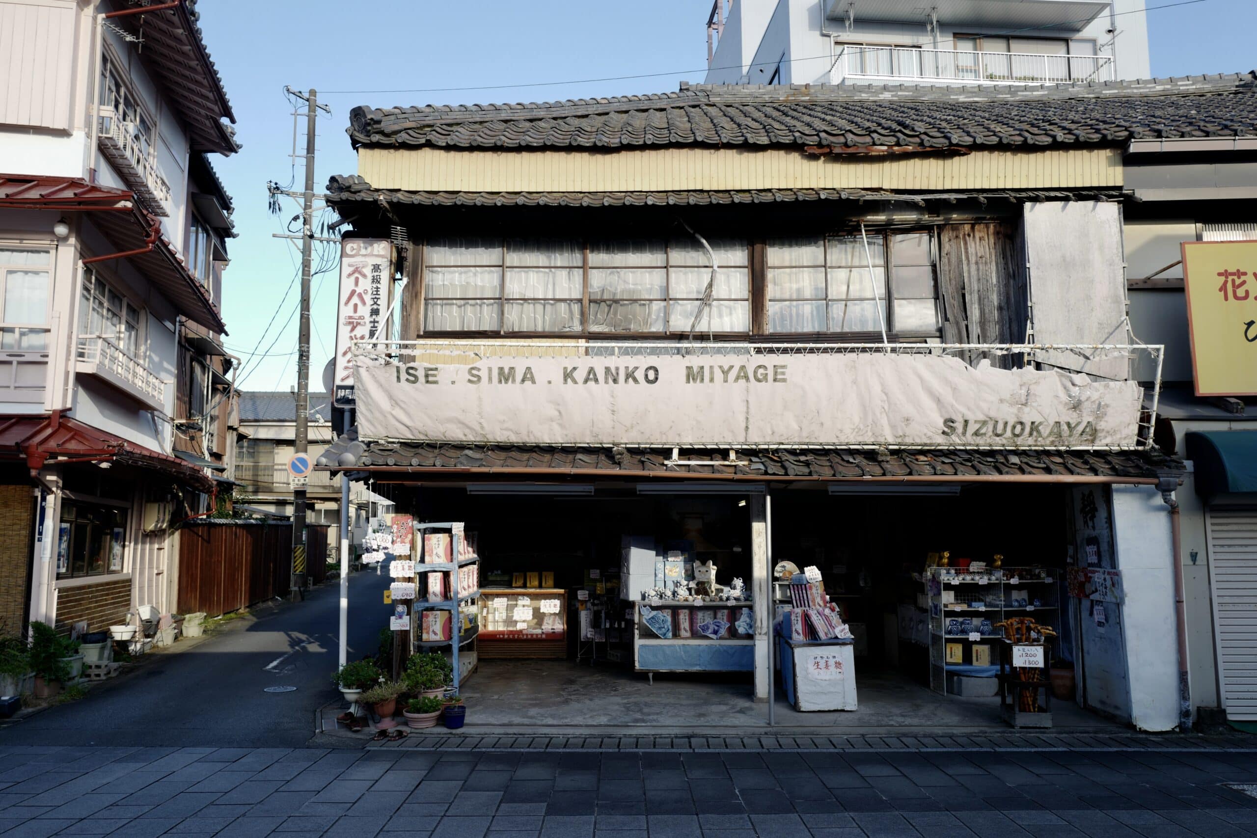
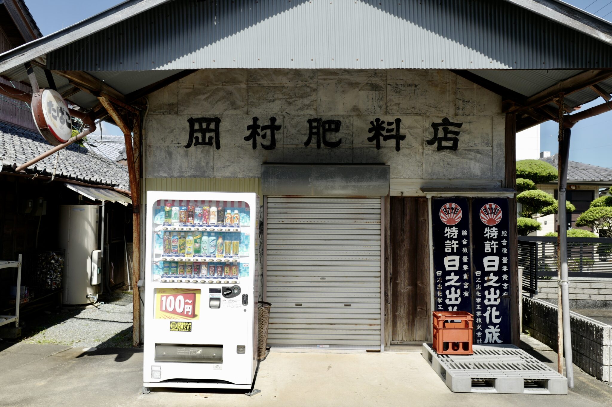
On our way out of Tamaru, we stopped at Gooday Supermarket (グッディ 玉城店) for provisions which turned out to be wise since there weren’t any other food options that day.
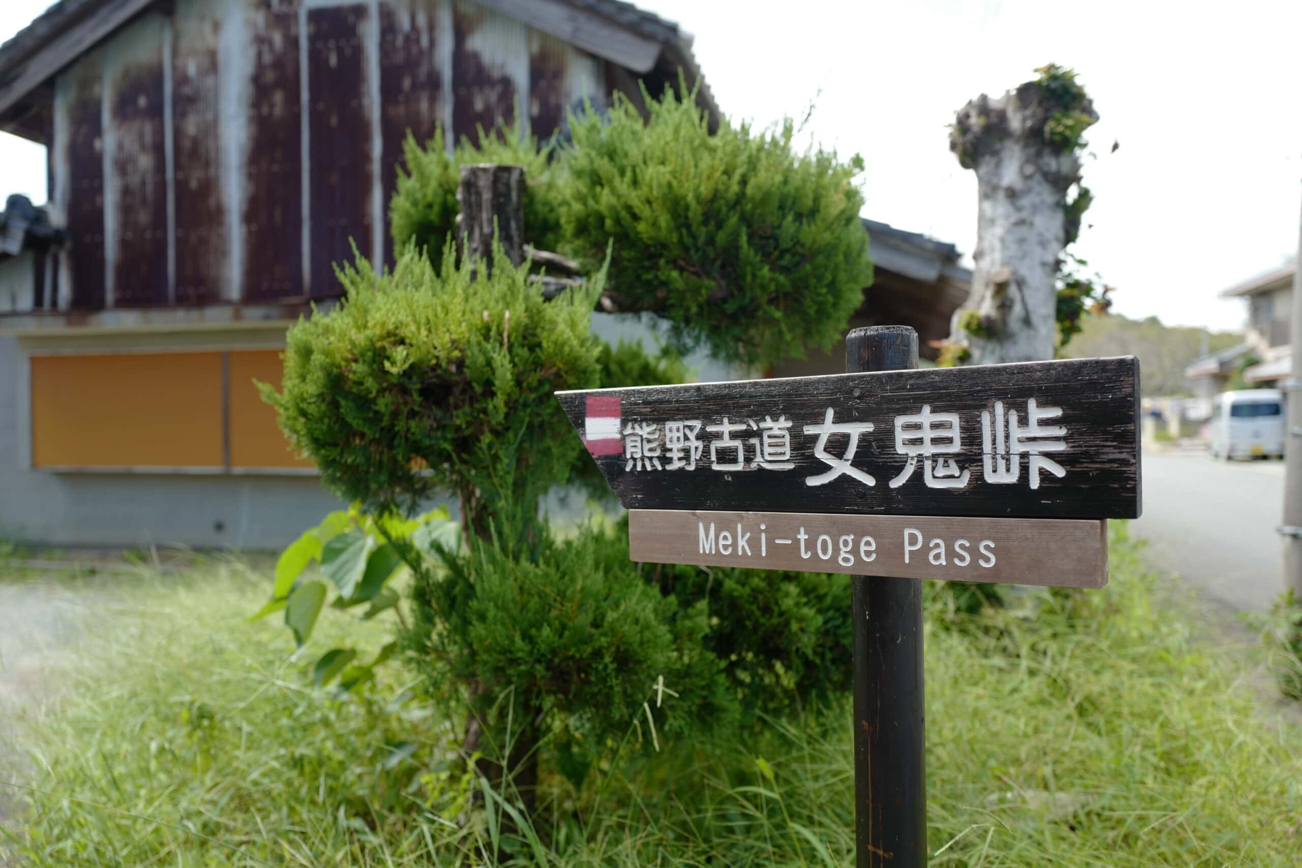
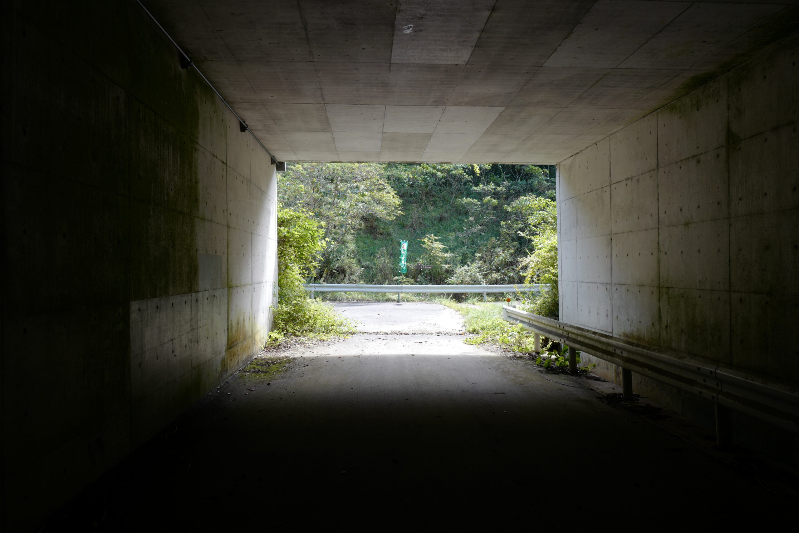
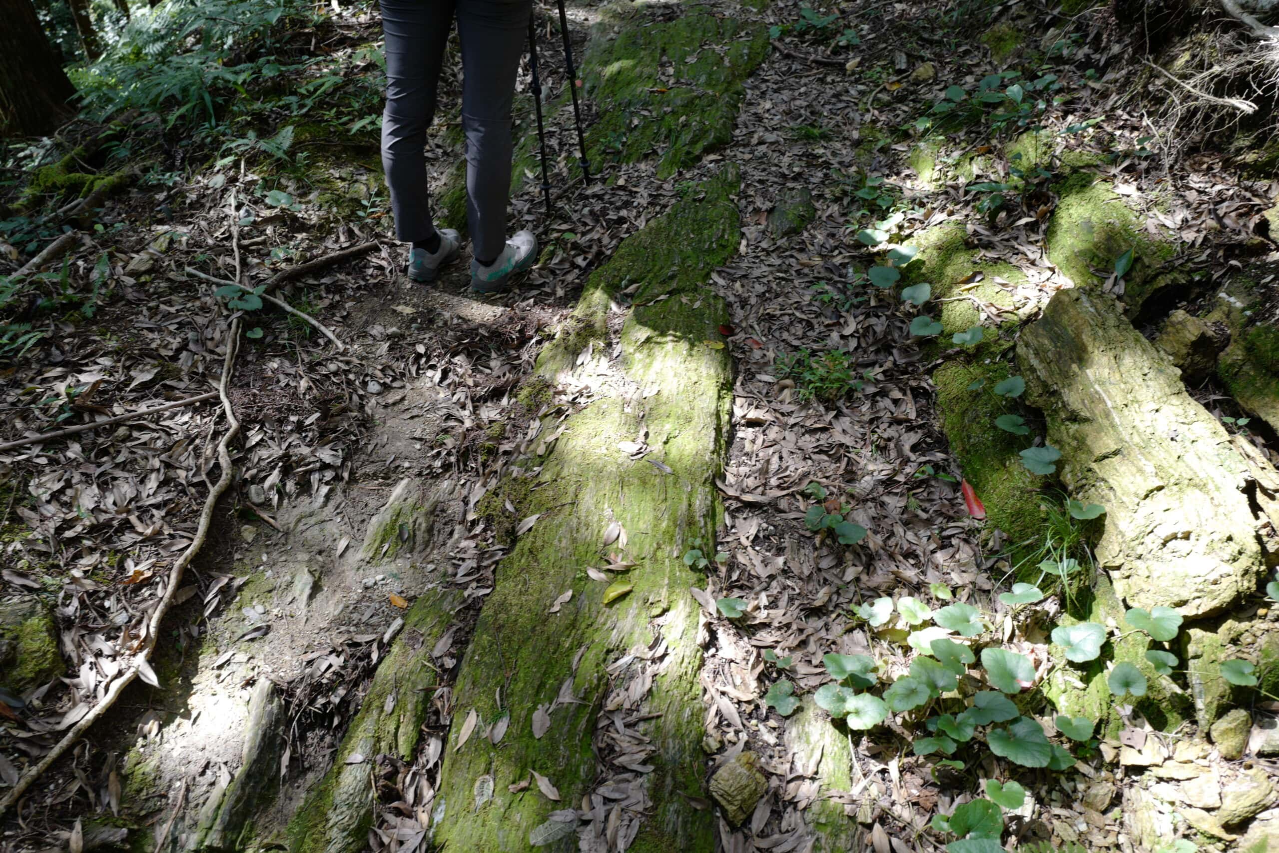
After walking ~6km along roads through sleepy villages and rice fields, our first off-road section began with the Meki-toge Pass (女鬼峠). Notice the red a white striped emblem used as another type of trail marker.
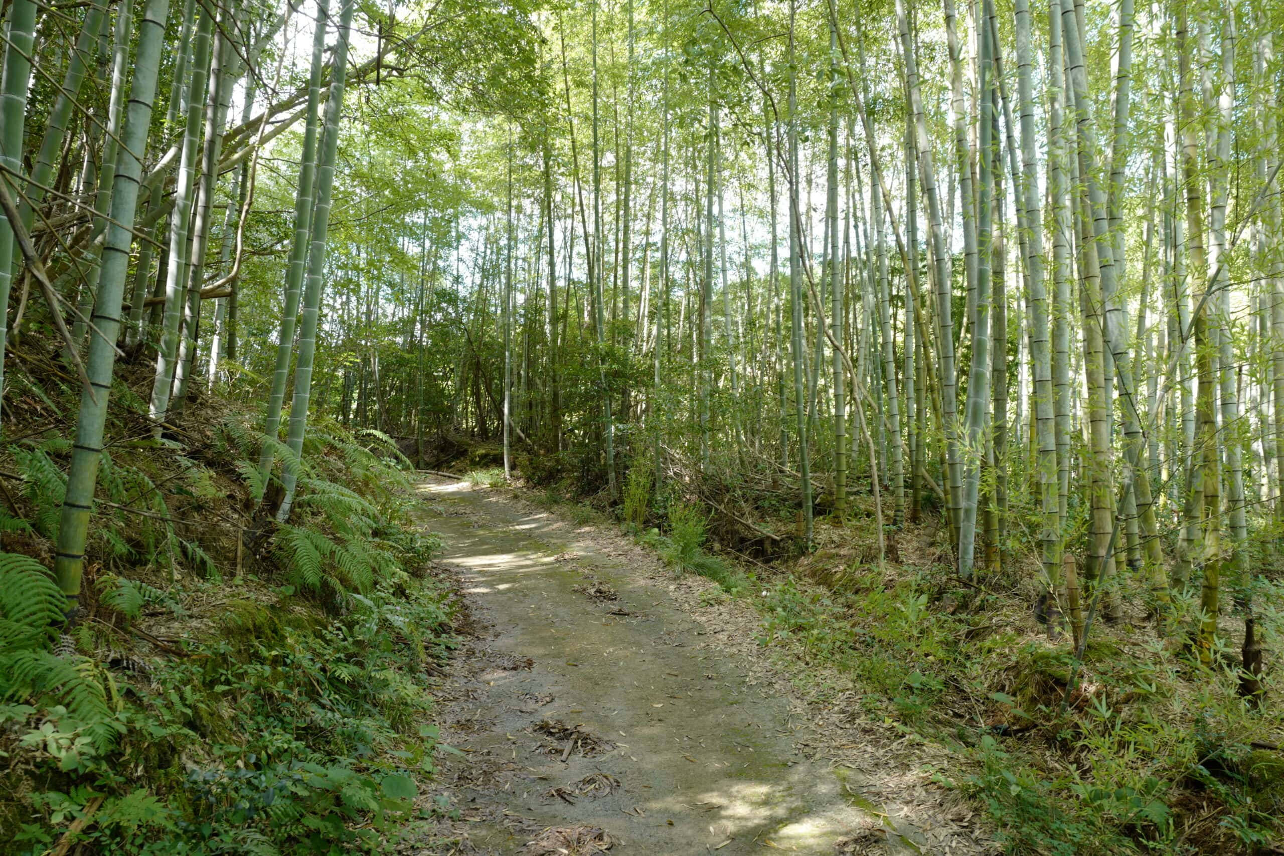
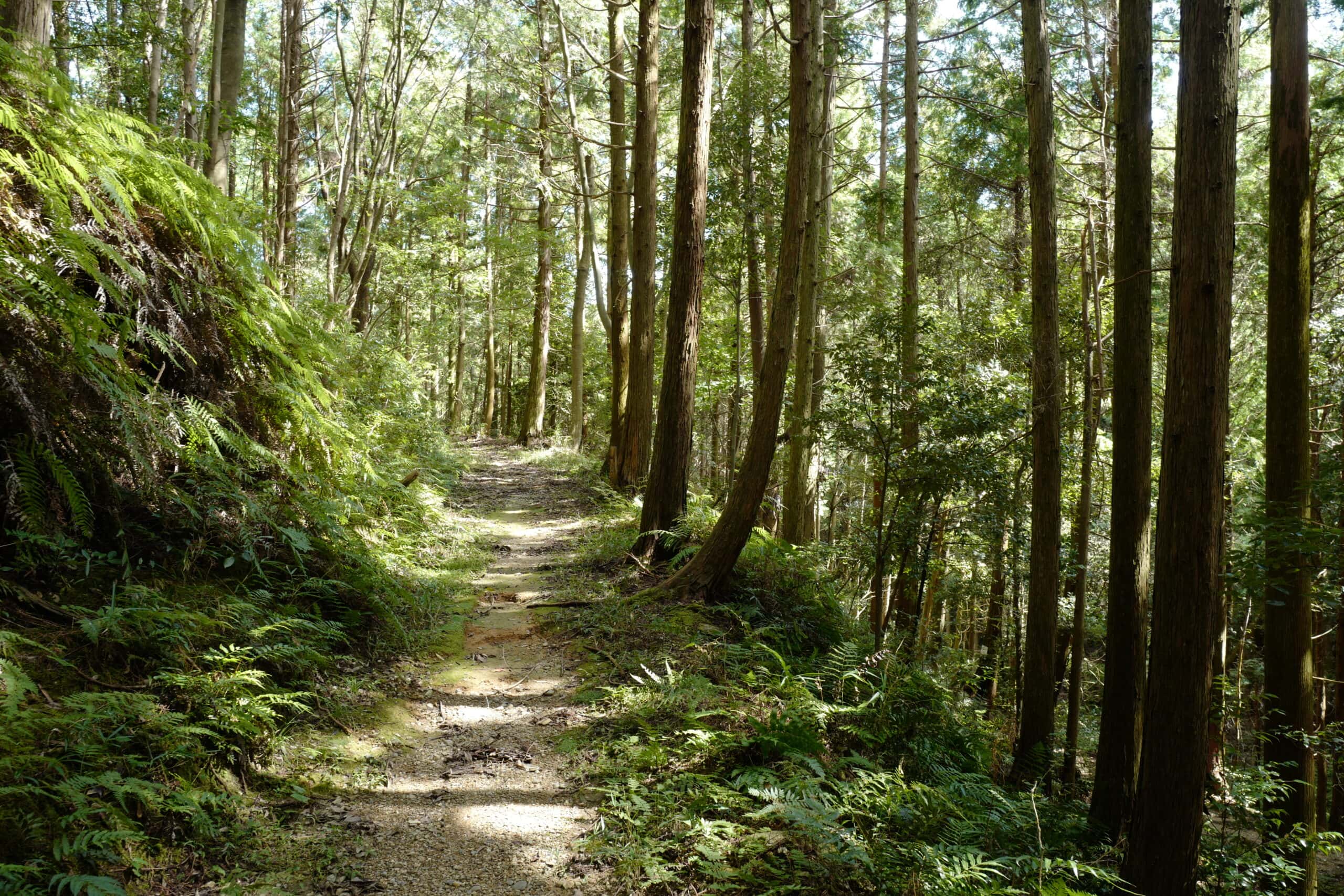
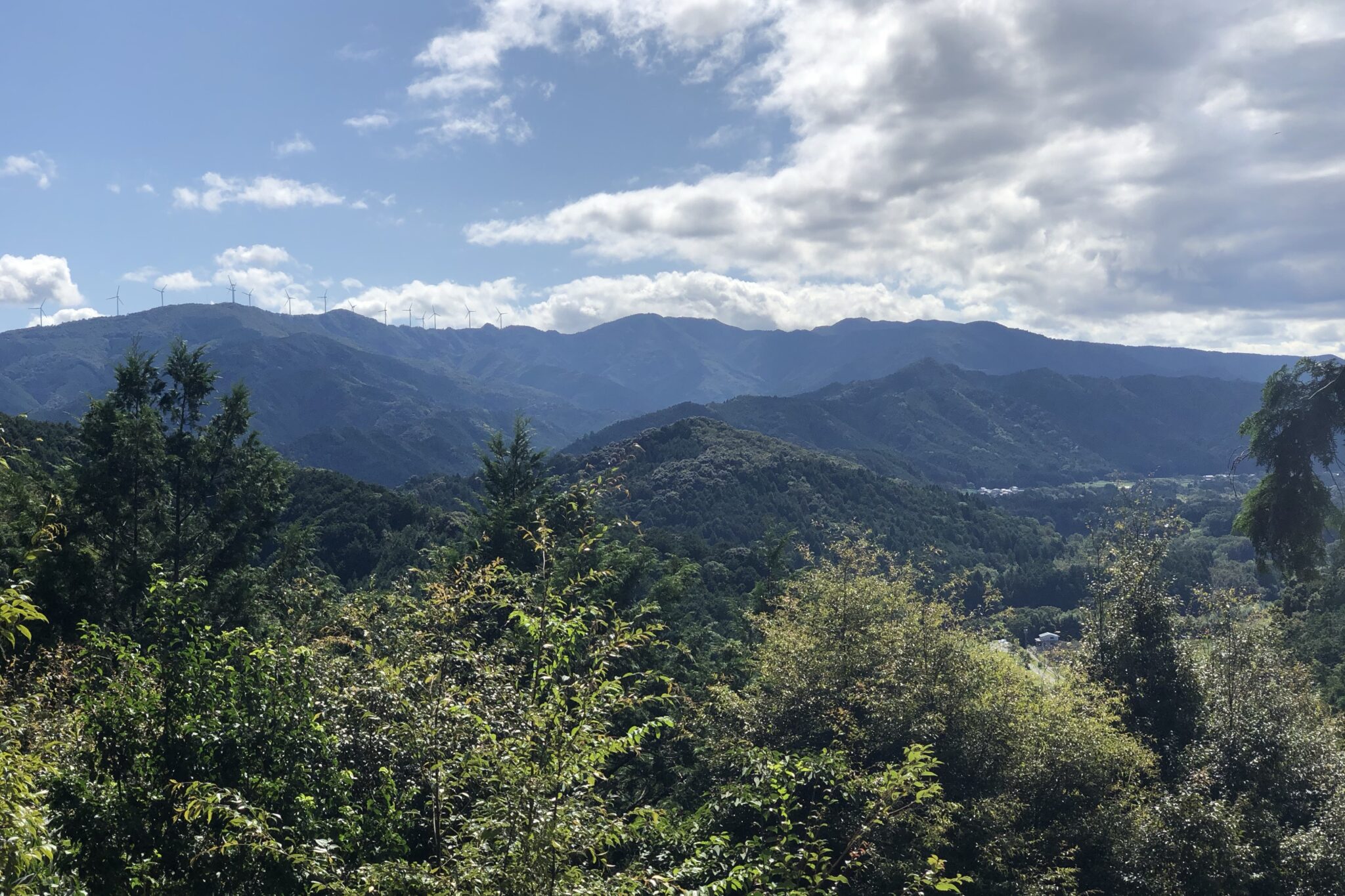
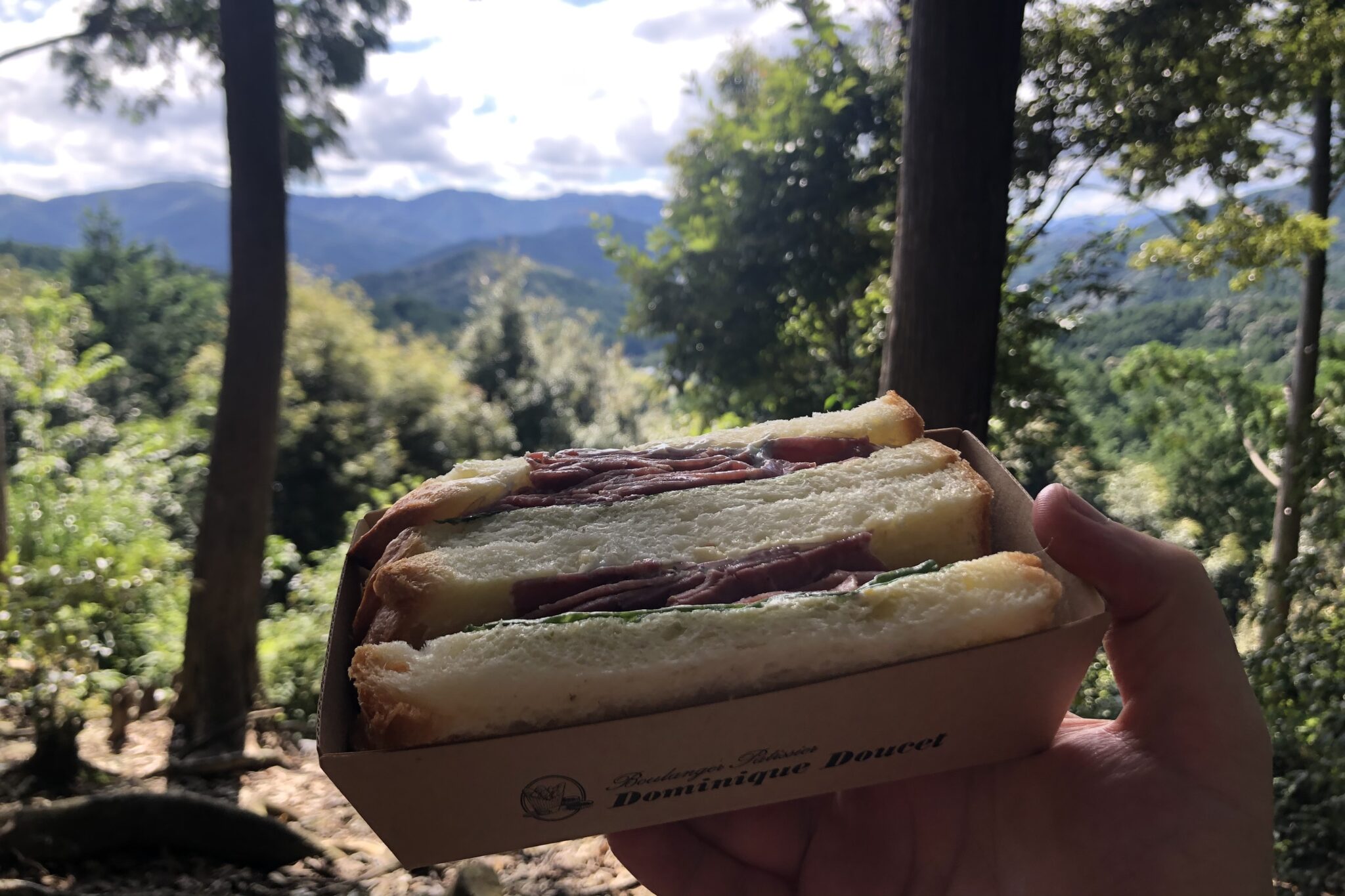
While the pass is only ~2km, it’s a beautiful path which tops out with great views and the perfect spot to eat lunch. The beef sandwiches we bought at the supermarket were surprisingly tasty.
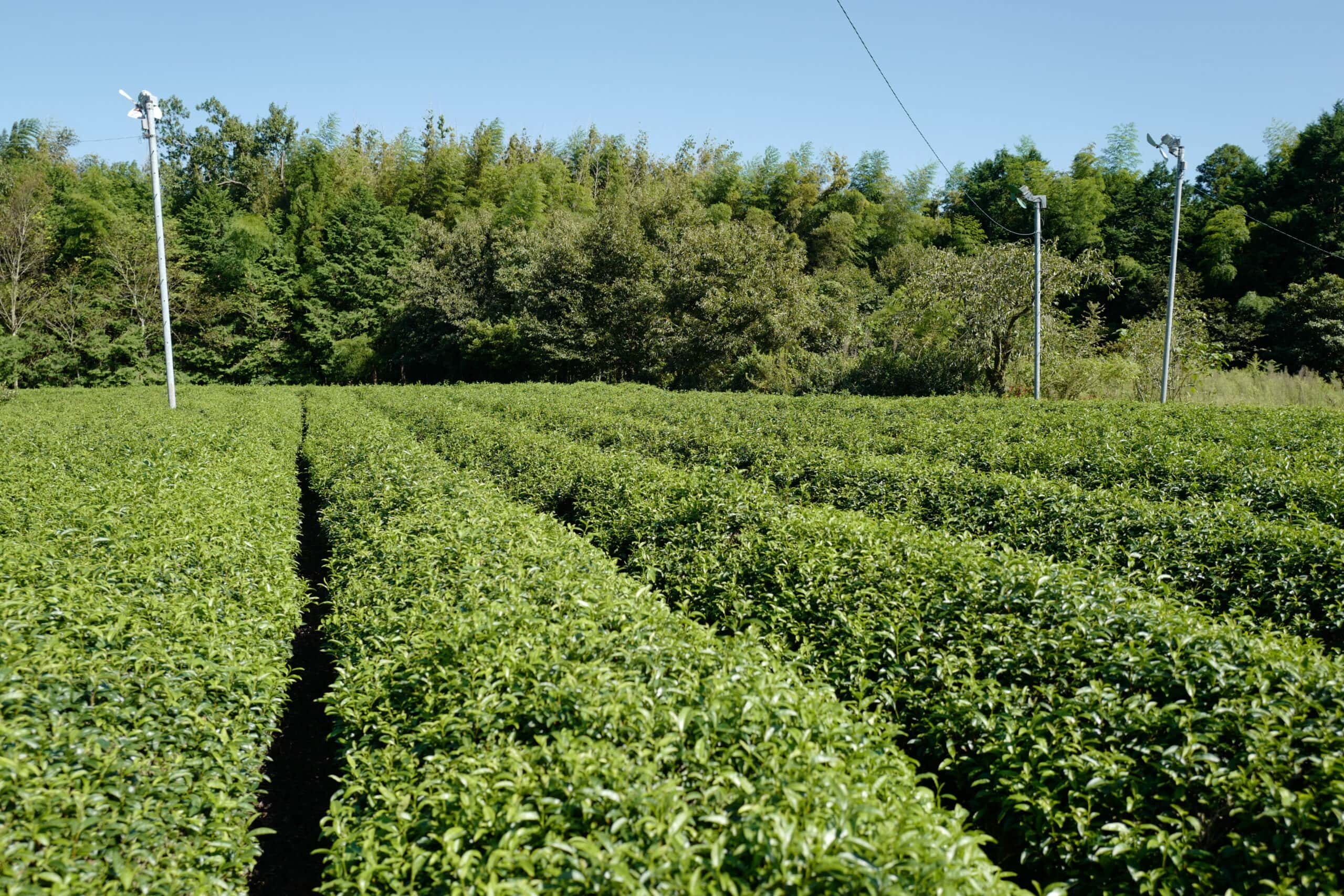
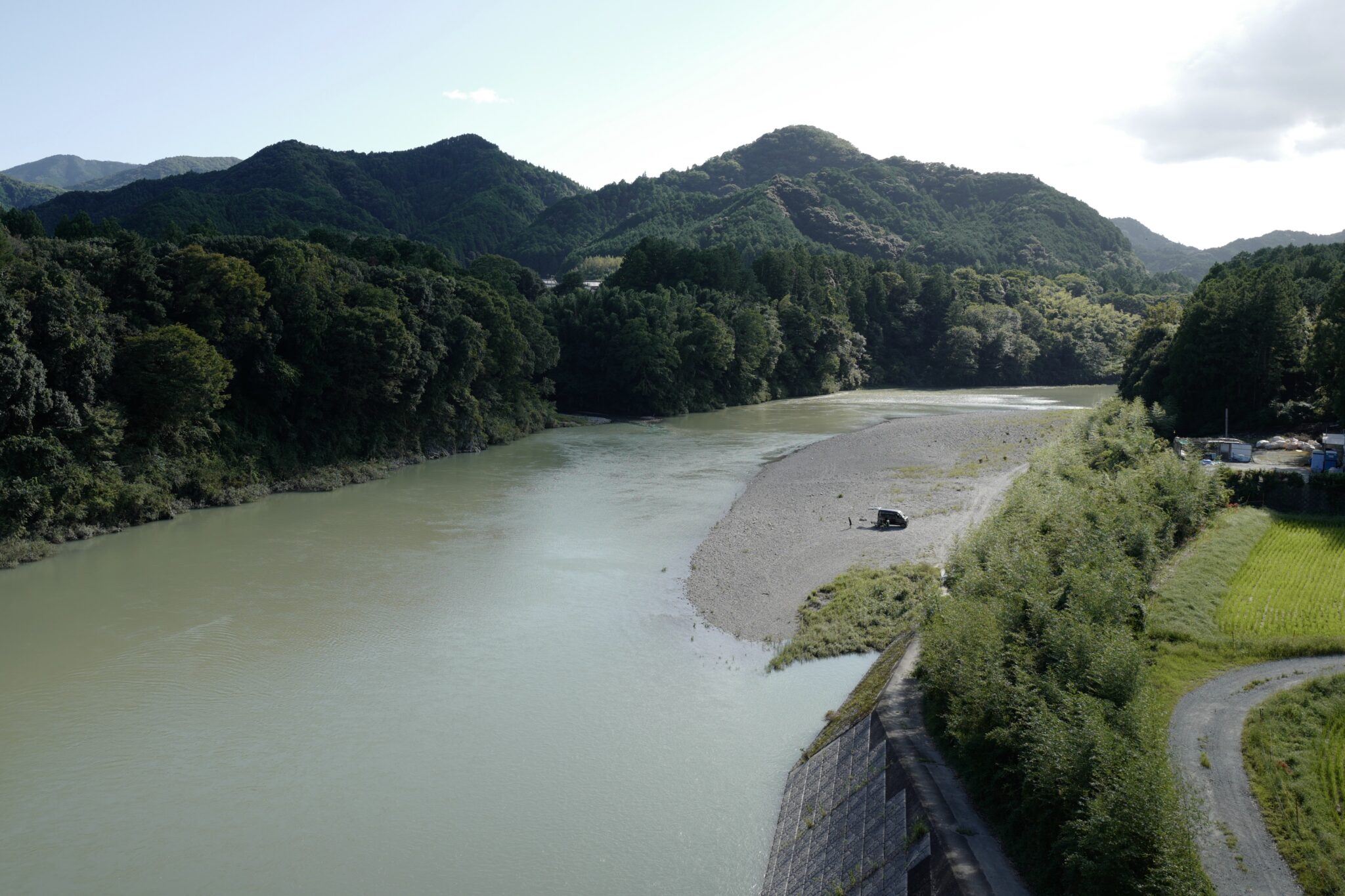
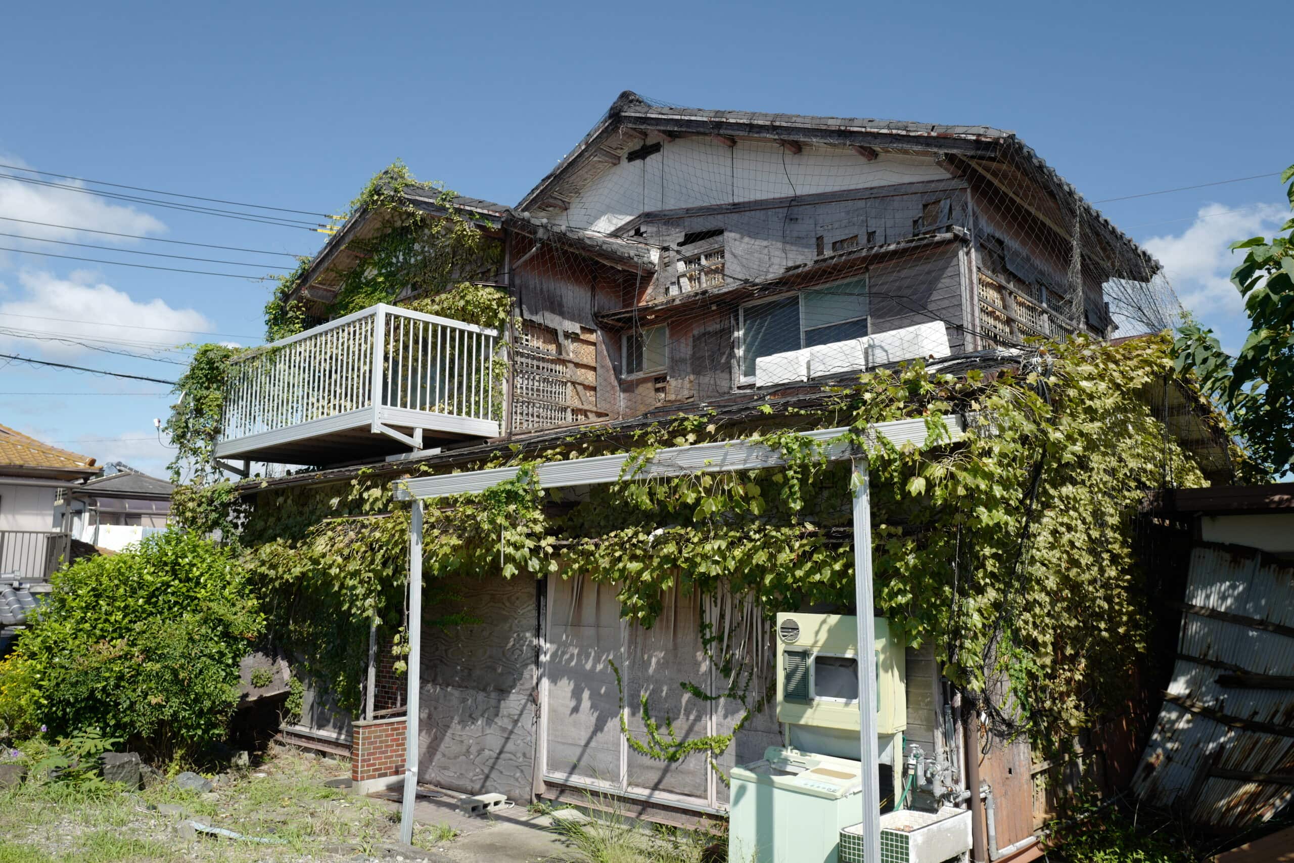
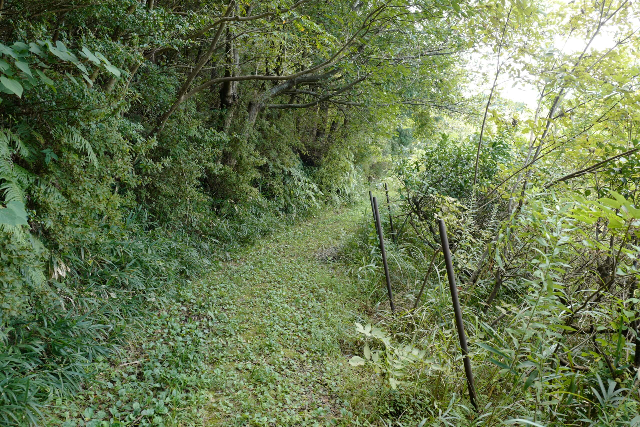
After crossing the pass, the trail follows the road parallel to the meandering Miya River where the city begins to feel like a distant memory, replaced with a slower, quieter pace of life.
Diverging from the trail, we crossed the river and made our way south towards the campsite we’d booked for the night.
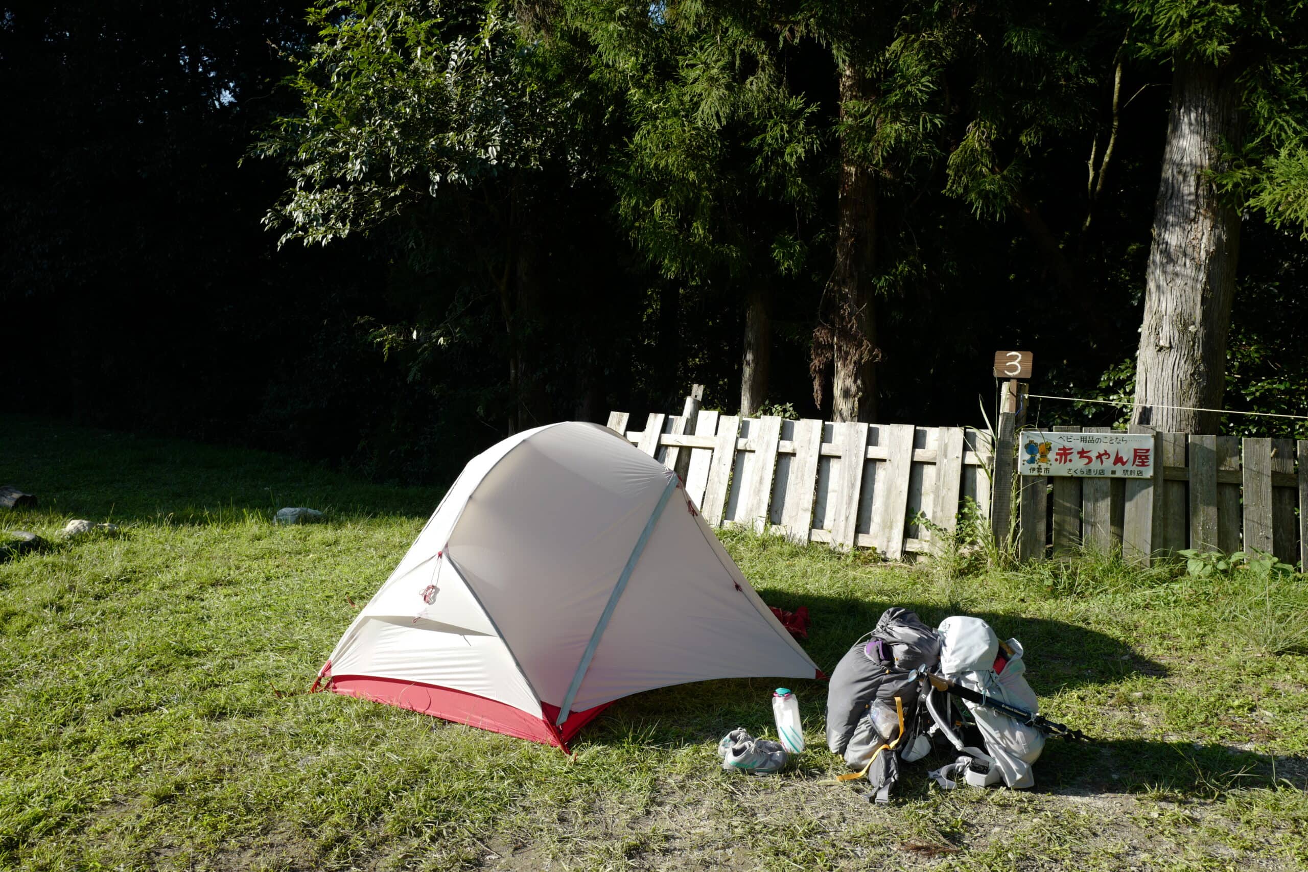
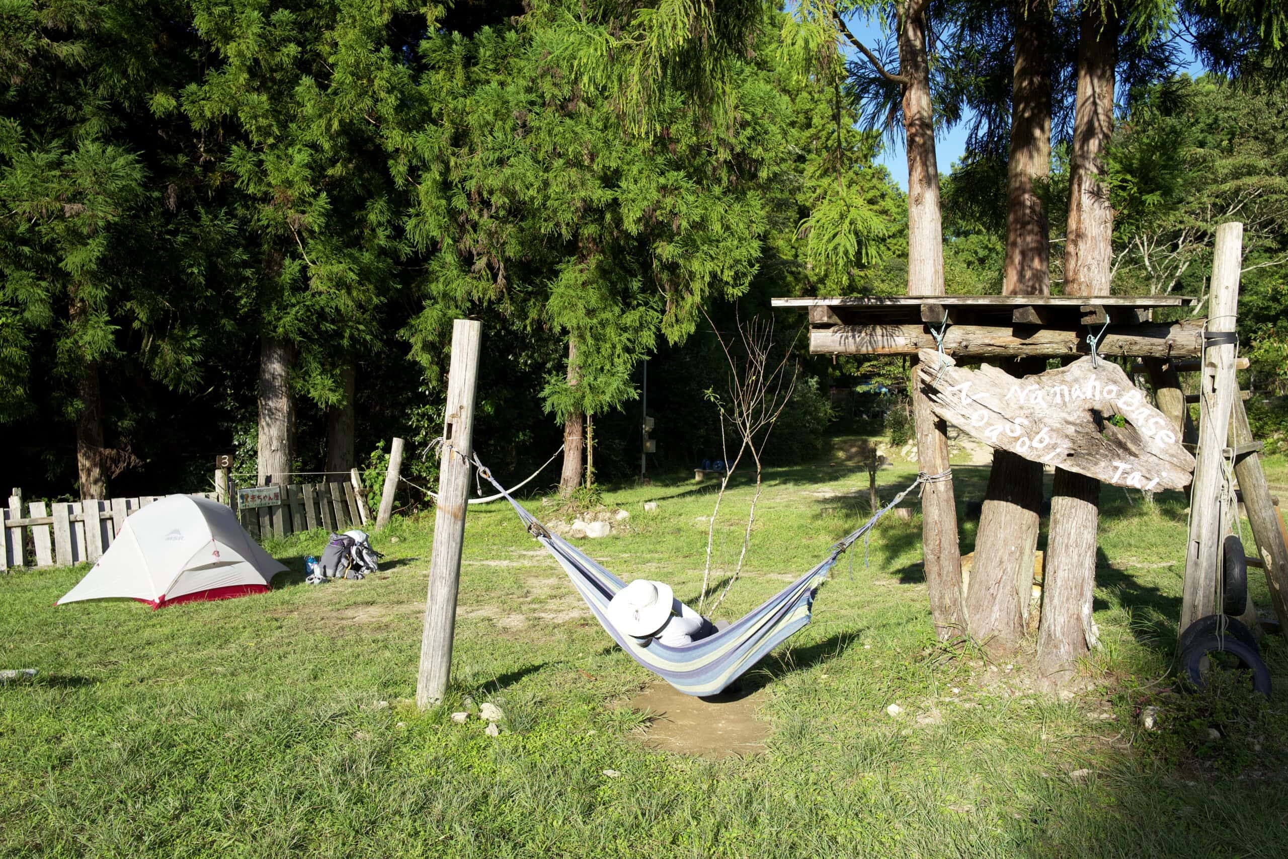
Rather than being just the other side of the river as Google Maps suggests, Nanaho Base Noasobimura Campground (奥伊勢の森「七保ベース」野あそび村キャンプ場) is actually a 30-minute walk down a logging road and, as we walked deeper and deeper into the forest, we began to worry whether it really existed.
Once we finally found the place, we were the only people staying there aside from a couple of bikers. The facilities were basic but sufficient and I had a dip in the river to wash before eating our leftovers for dinner.
Once the sun set the temperature dropped rapidly so it was soon time to get into our sleeping bags for another early night.
Information
- Distance walked: 23.1km / 30,759 steps
- Accommodation nearby:
- Nanaho Base Noasobimura Campground (奥伊勢の森「七保ベース」野あそび村キャンプ場) – where I stayed
- Tea Field Villa (ティーフィールドヴィラ)
- Okajimaya (岡島屋)
- Furusato Mura (大紀町日本一のふるさと村)
Reply