On day 2 of our New Zealand South Island road trip, we departed Lake Tekapo in the morning and headed west towards Mount Cook, the highest mountain in the country, standing 3,724 metres tall.
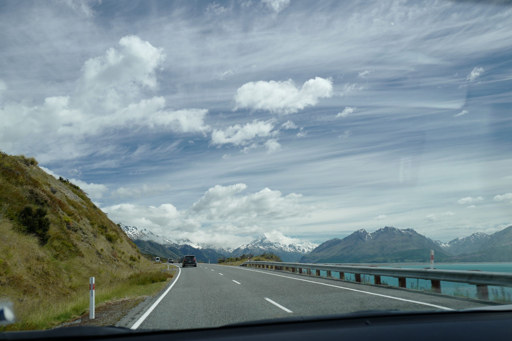
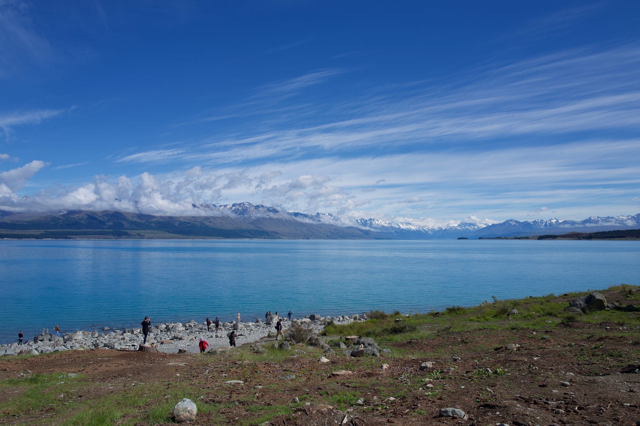
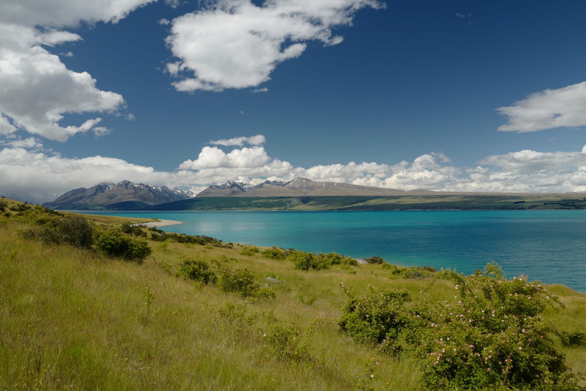
Weather conditions were ideal as we made our way along the edge of the enormous Lake Pukaki, the mountain range ahead gradually taking over the horizon.
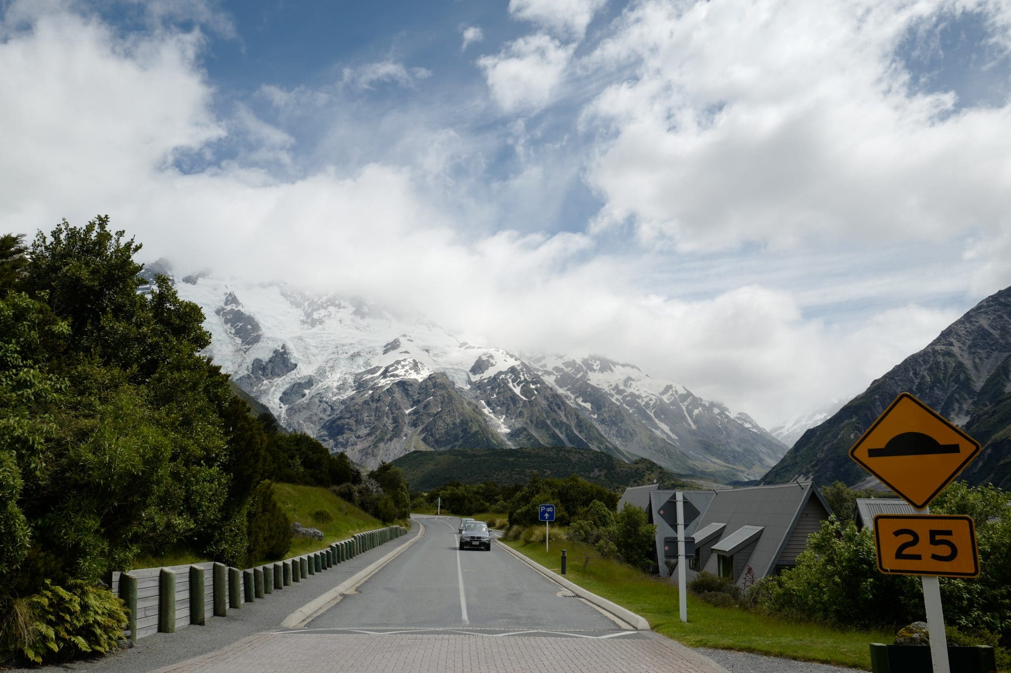
We stopped at Aoraki Mount Cook Village to take a look in the national park visitors centre which had some interesting displays about the history of mountaineering in the area. Afterwards, we had lunch at The Old Mountaineer’s Cafe.
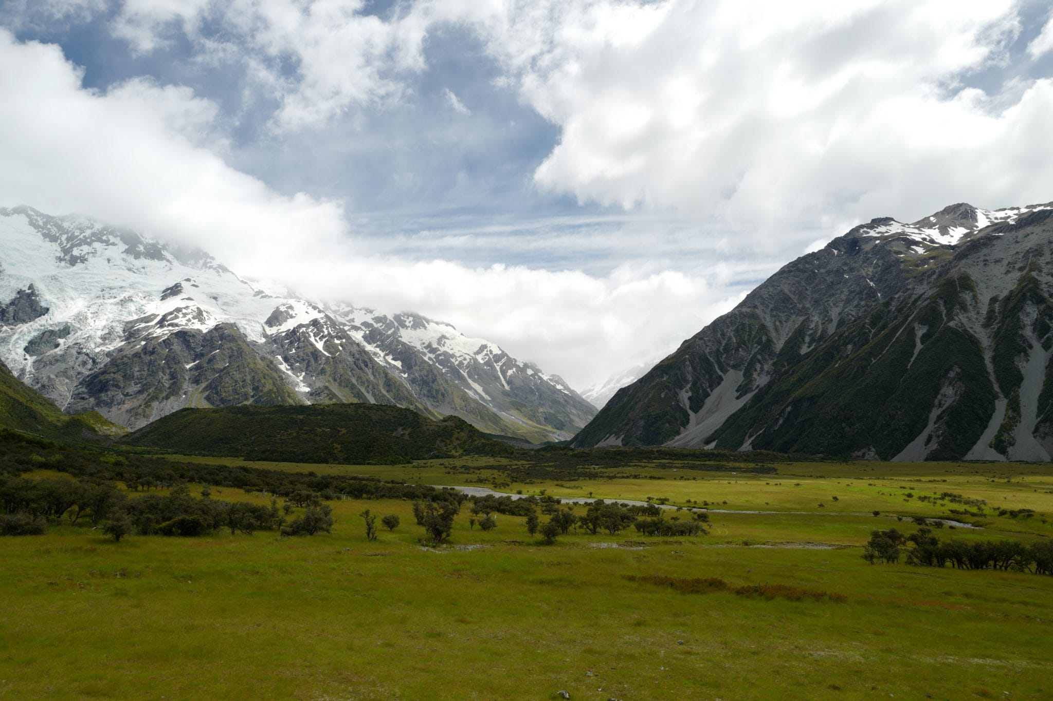
Re-energised, we drove around the Main Divide which separates the Hooker Valley to the southwest and the Tasman Valley east of the mountain.
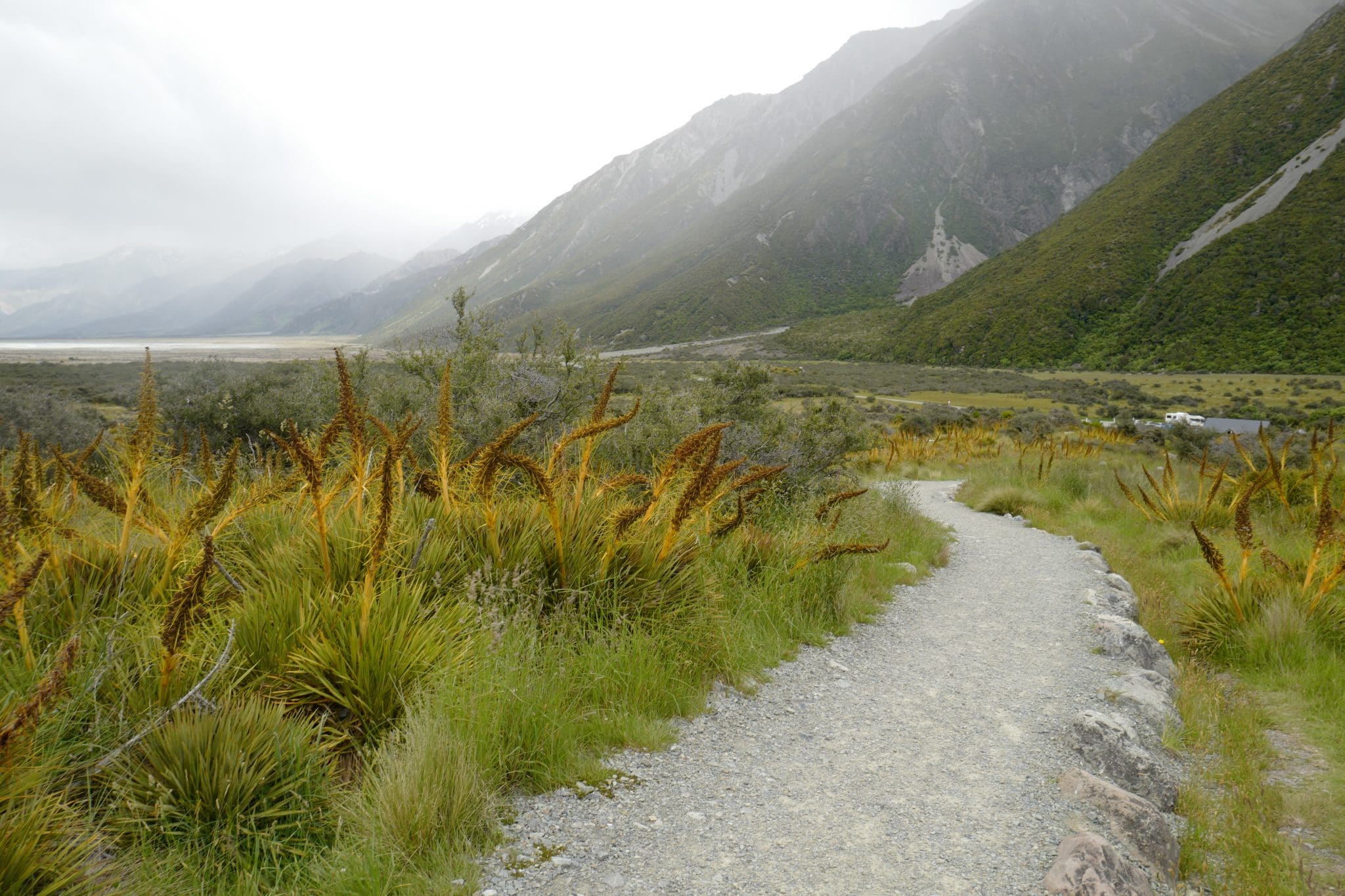
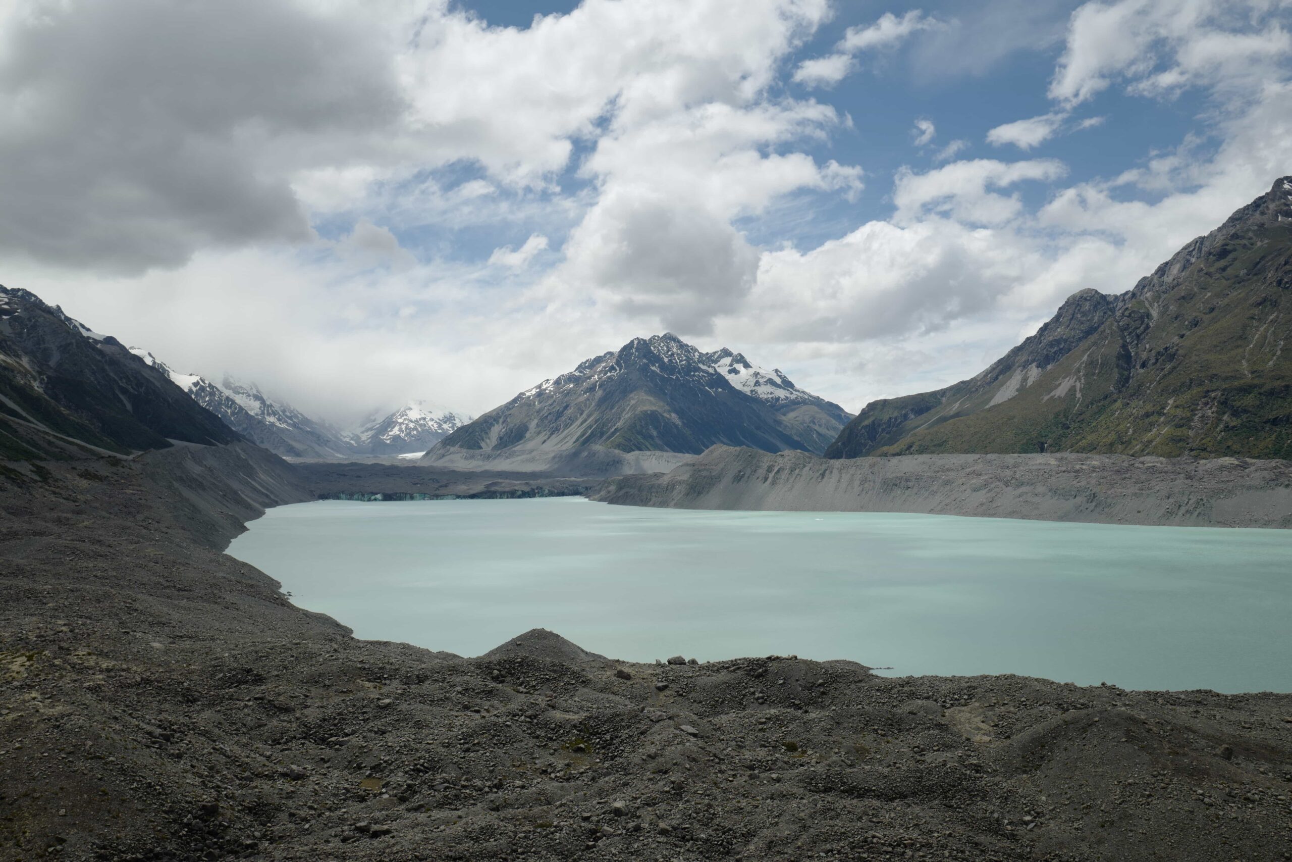
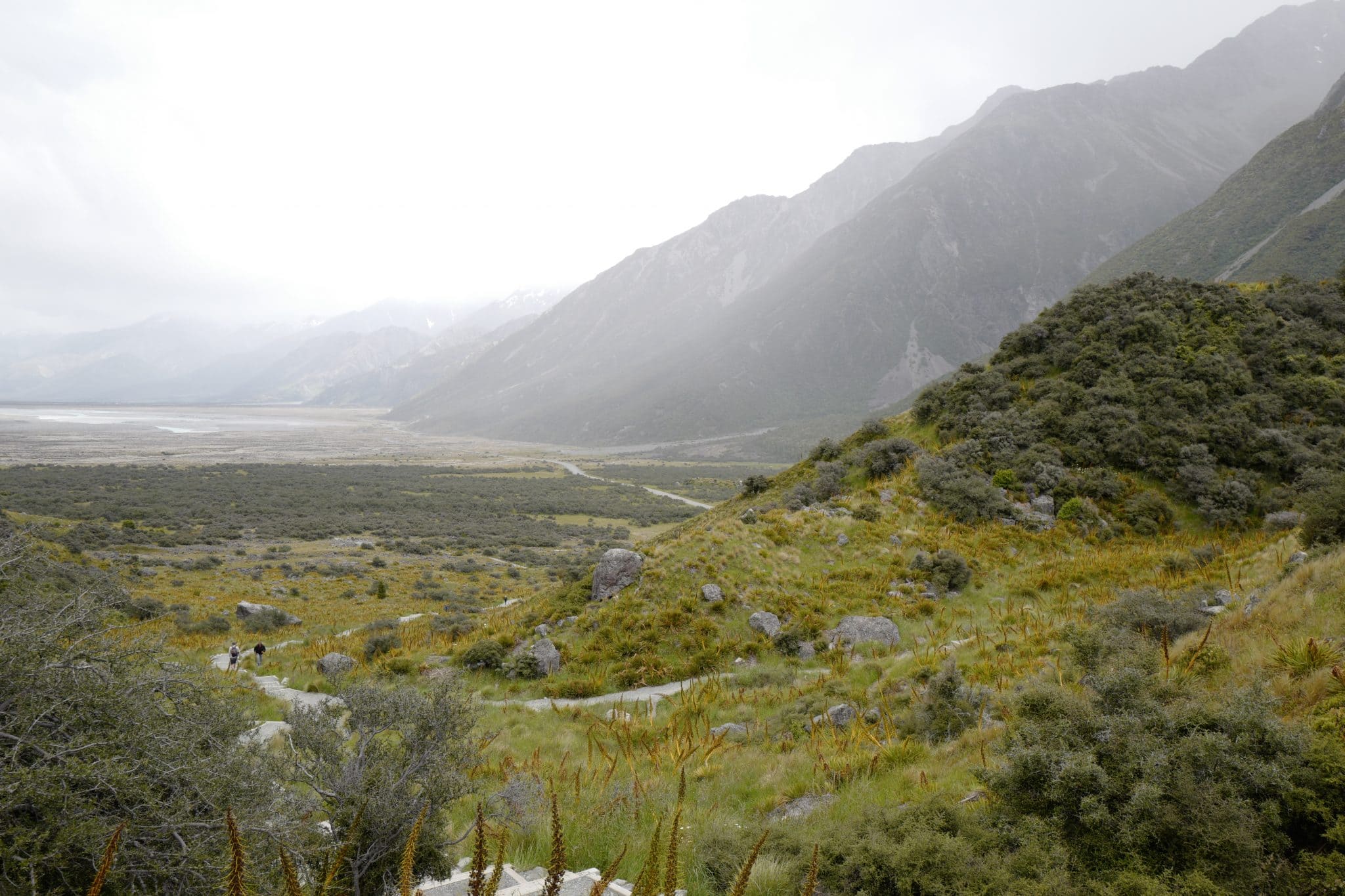
A short hike from the car park at the end of the road takes you up a hill to a viewpoint overlooking the Tasman Glacier.
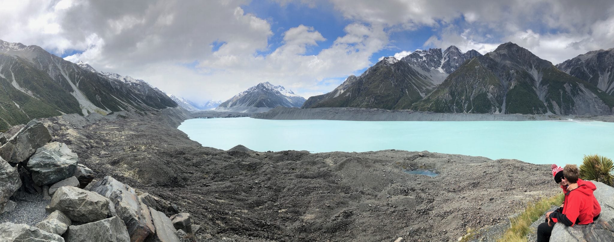
The lake you see above in front of the glacier did not exist till 1973. Since the 1990s the glacier has been rapidly retreating at a rate of 180 metres per year on average and will eventually disappear. It’s a sight that really brings home the impact of climate change.
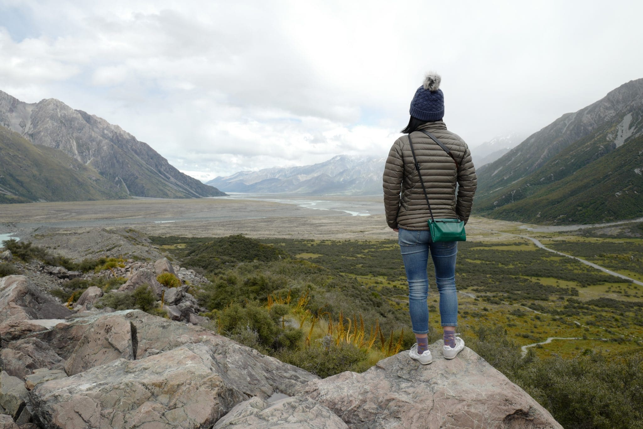
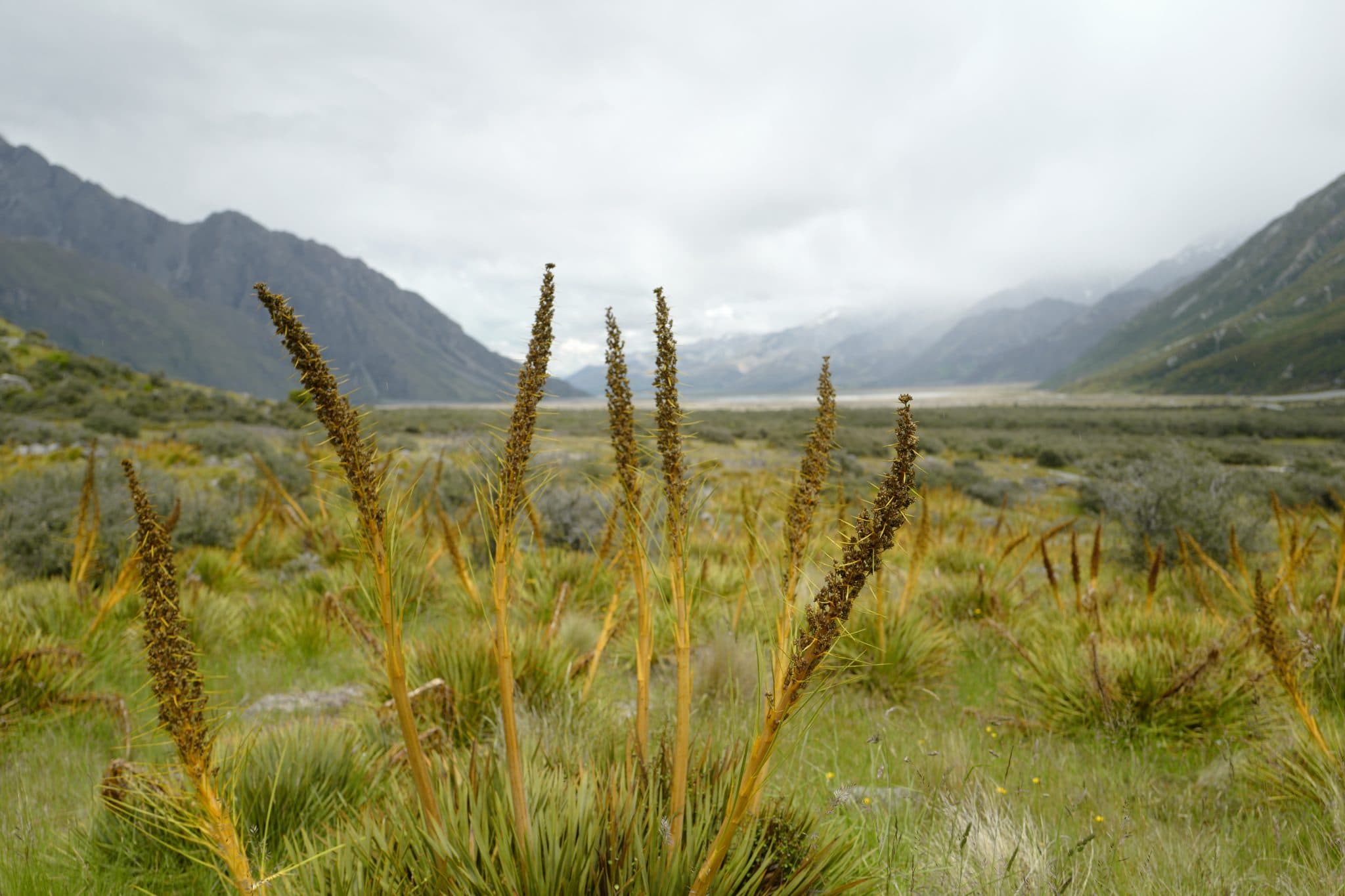
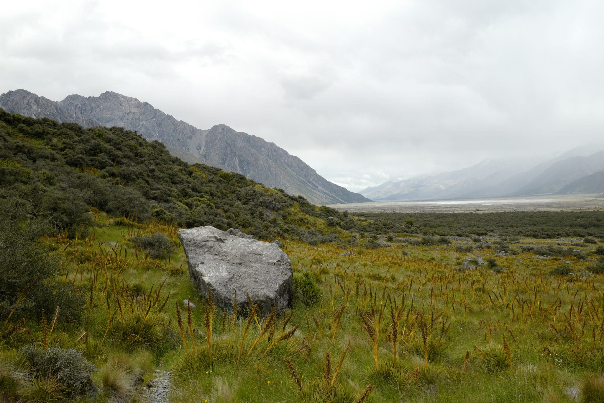
The surrounding alpine flora and fauna were just as fascinating as the mountains. The fierce-looking Aciphylla colensoi, commonly known as Speargrass or Spaniard, looked like something from another planet.
On our way back around Lake Pukaki there was sadly a tragic car accident that blocked state highway 80, the only route out, for much of the afternoon. We drove back to Mt Cook Village where The Hermitage Hotel kindly let those stranded wait in their bar.
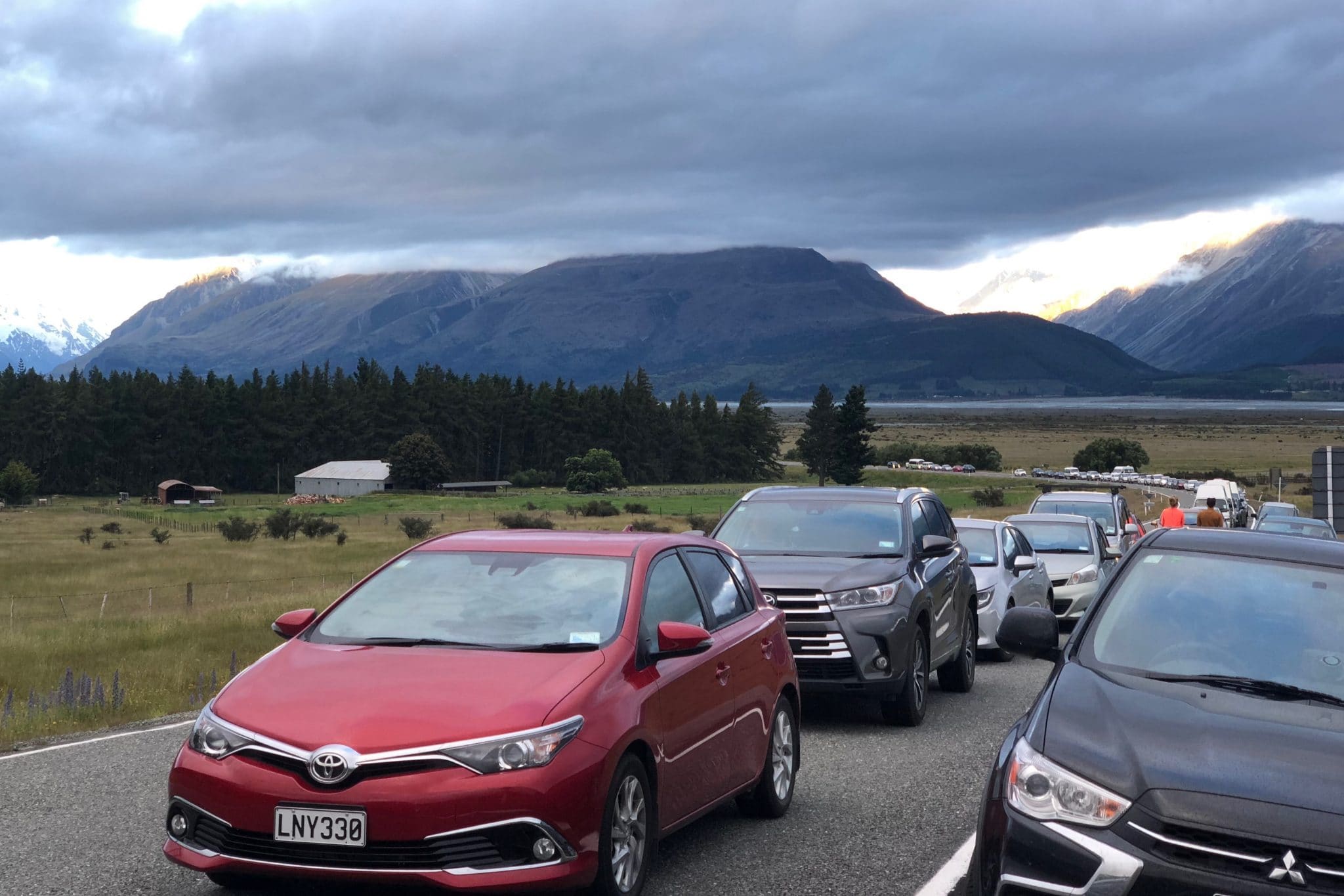
It wasn’t till around 8 pm that the road was reopened and we drove through the night to our accommodation at West Meadows of Wanaka, arriving around midnight. Driving in the dark along the twisting road was quite an experience and I was lucky that my co-pilot kept me alert the whole way by telling me obscure facts about the NASA Apollo missions!
Continued in Part 3.

Reply