After my successful initial camping trip to Mount Daibosatsu I felt confident enough to try something a little more ambitious so got working on a plan for a multi-day hike/camp to Yatsugatake (八ヶ岳), a volcanic mountain range on the border between Nagano and Yamanashi prefectures.
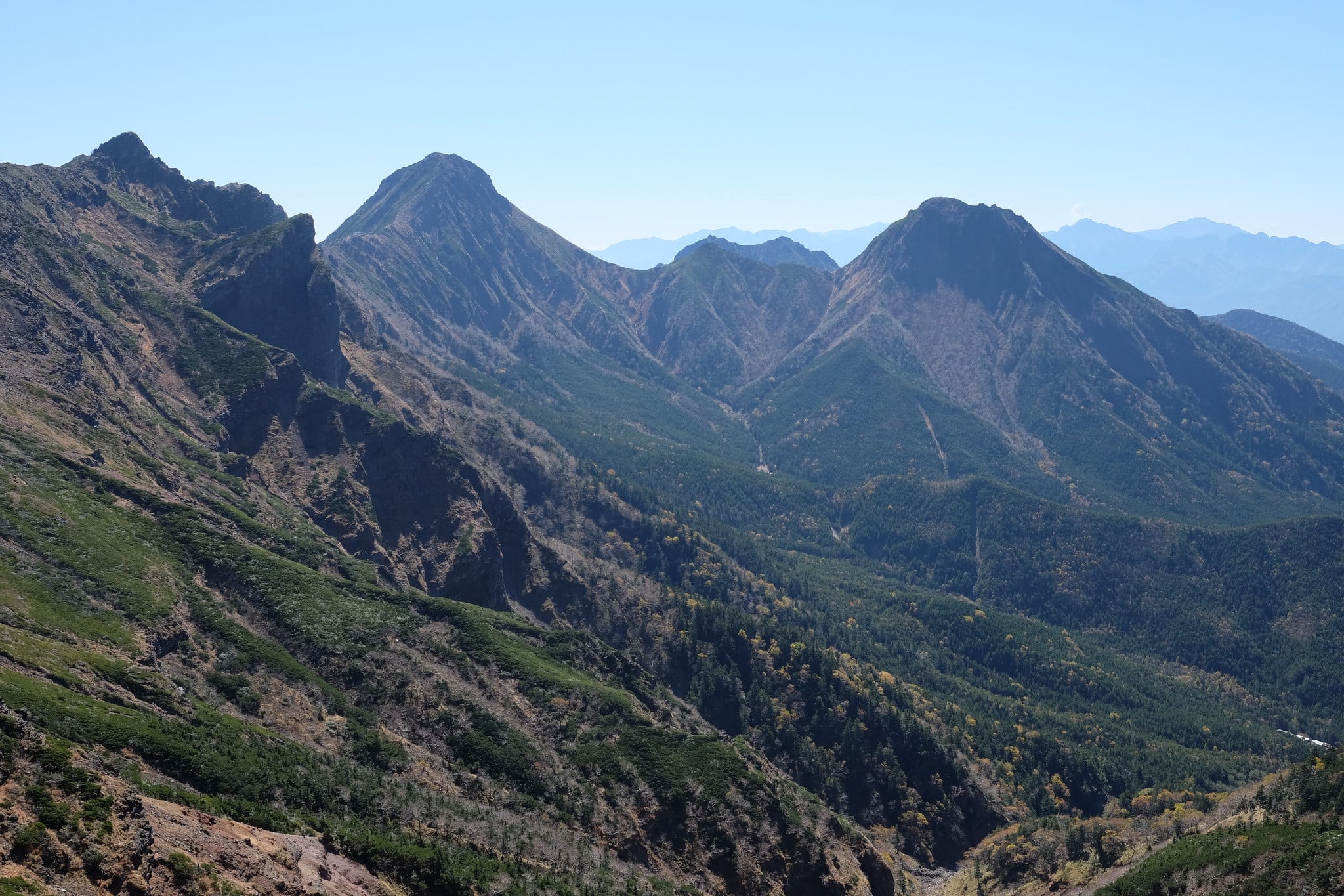
According to legend, Yatsugatake was once higher than Mount Fuji, but Konohanasakuya-hime, the goddess of Mount Fuji, tore it down out of jealousy, leaving the collection of peaks we have today.
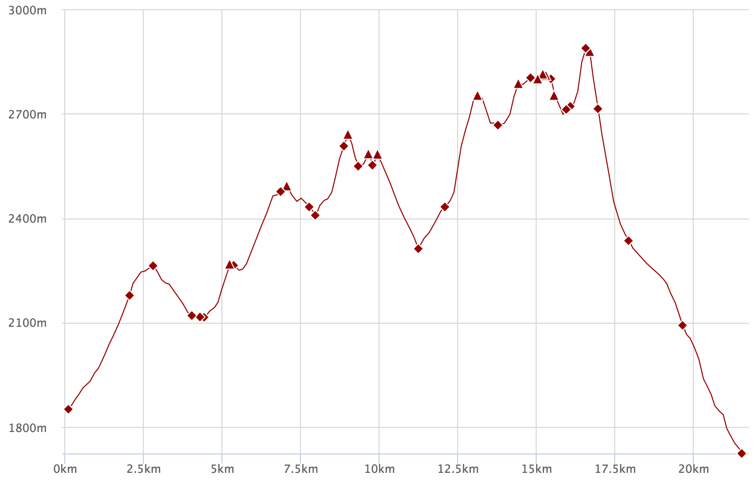
Our route took us 25km over four days from the centre of the range heading south through alpine forests and over some fairly hairy ridges, reaching a maximum elevation of 2899 m at the peak of Mount Aka (赤岳).
Day 1 (4.2km)
Shibu no yu (渋の湯) → Seitaisou campsite (青苔荘)
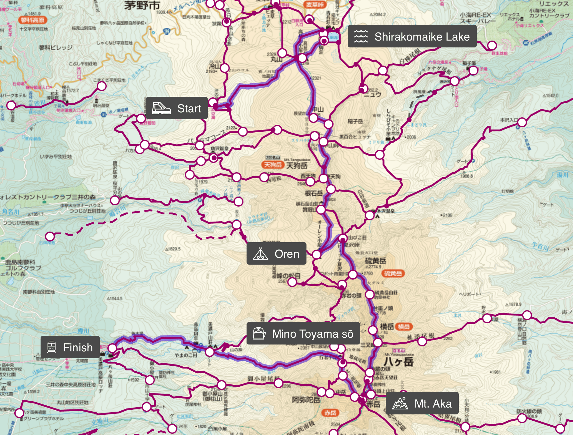
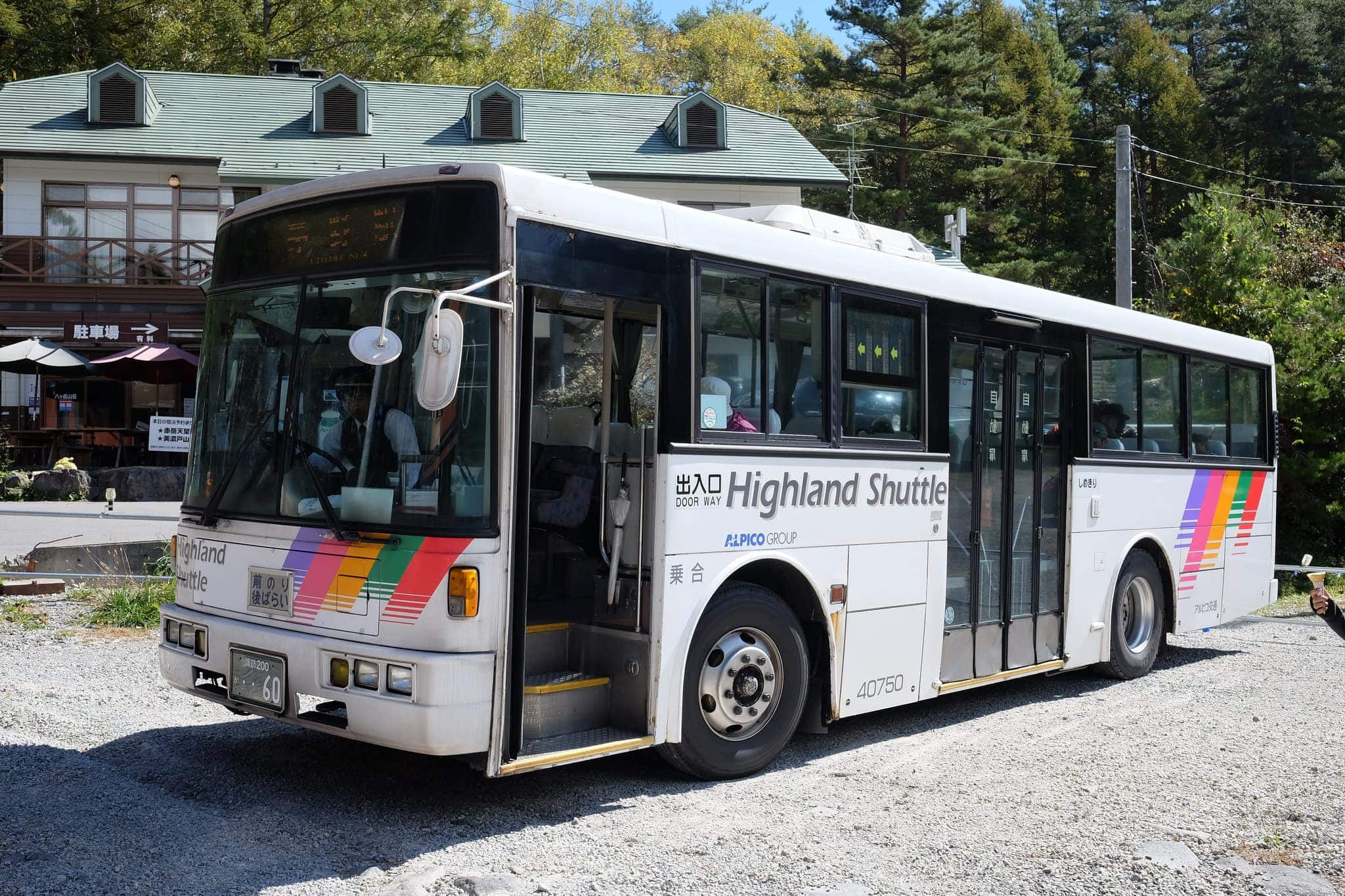
The expedition began with a train trip to Chino station, followed by a bus to the trailhead at Shibu no yu (渋の湯), around 3 hours east of Tokyo (the bus departs at 10:25 and 13:55).
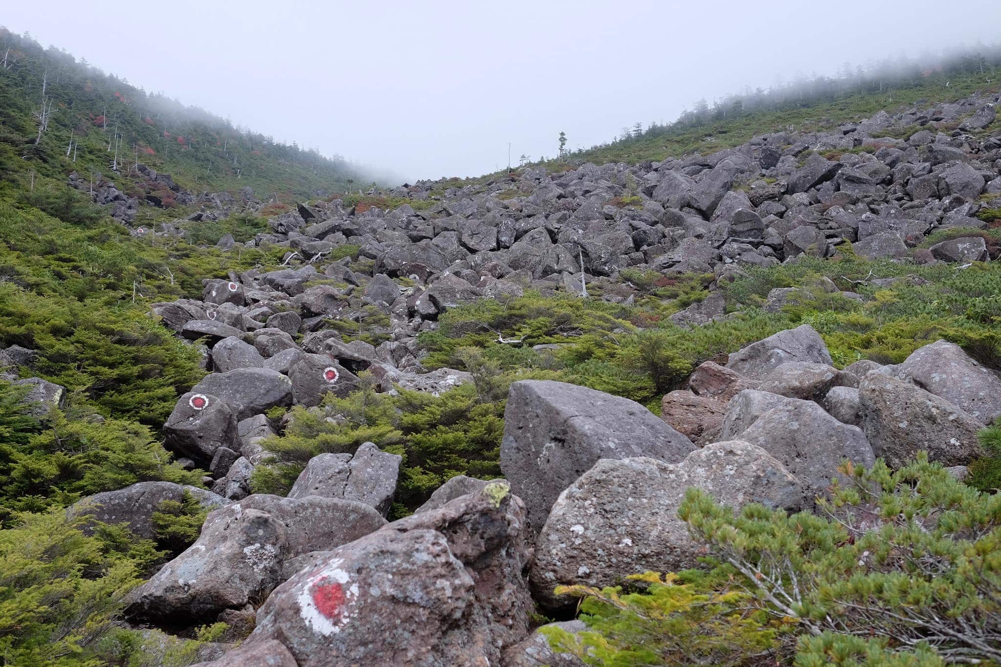
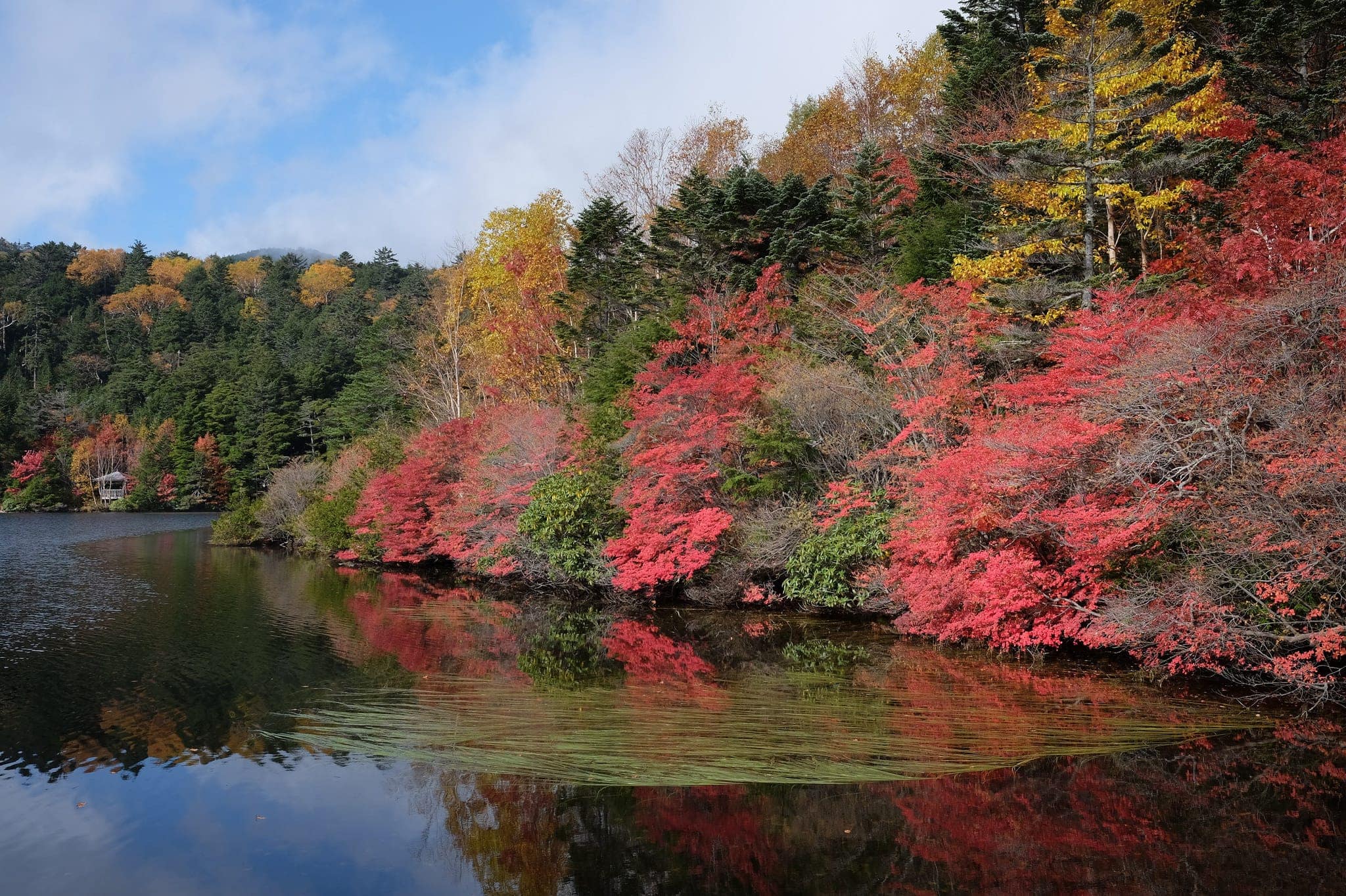
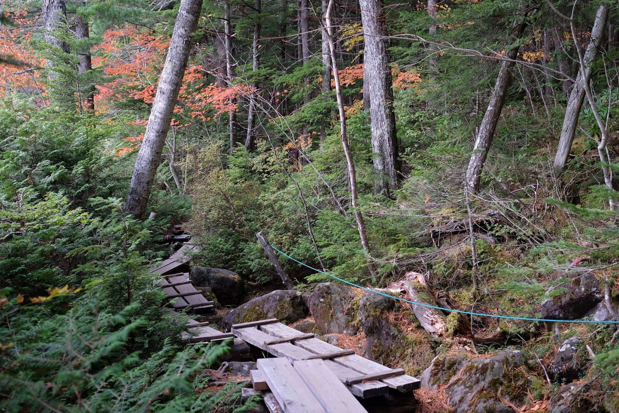
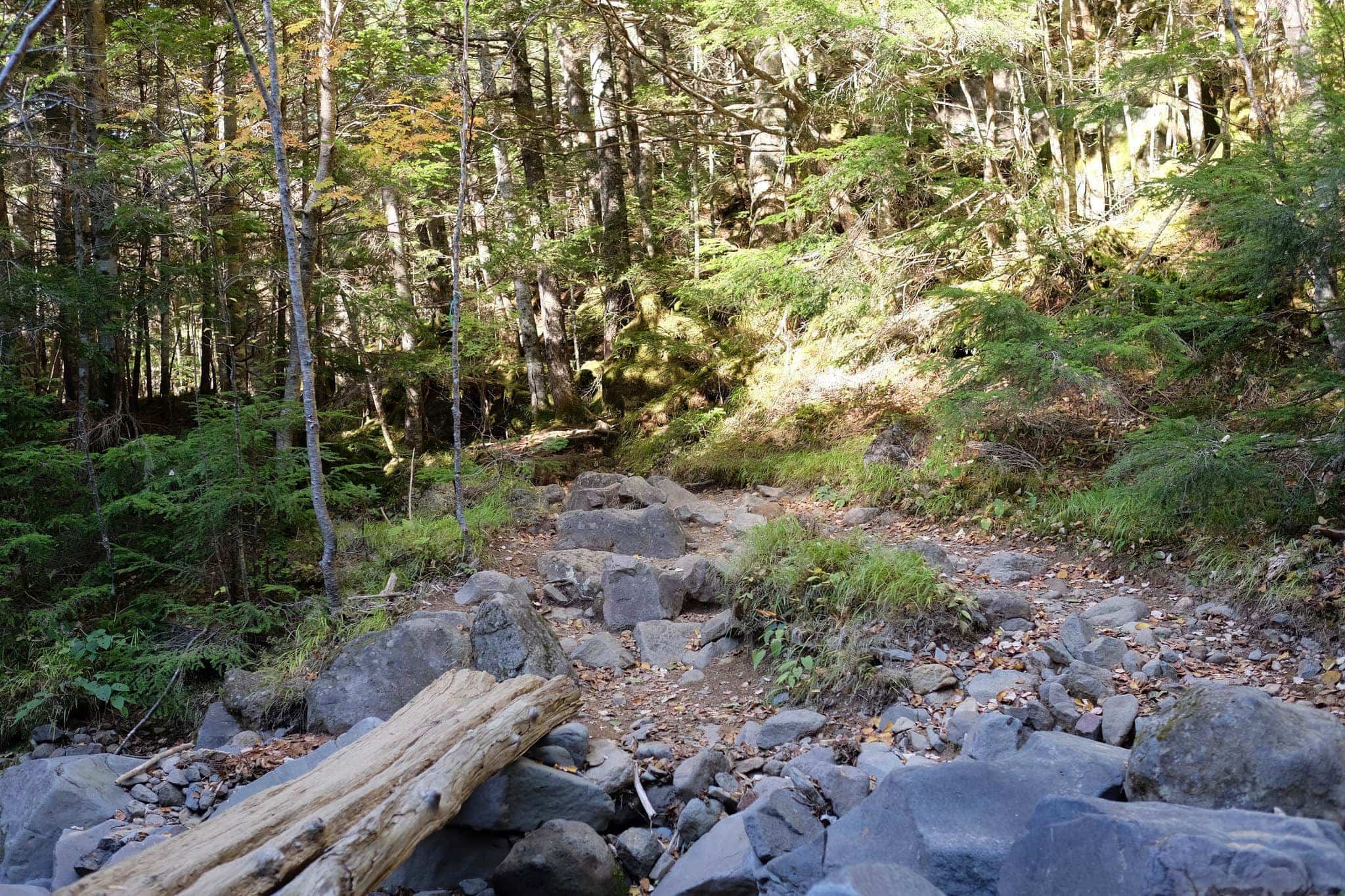
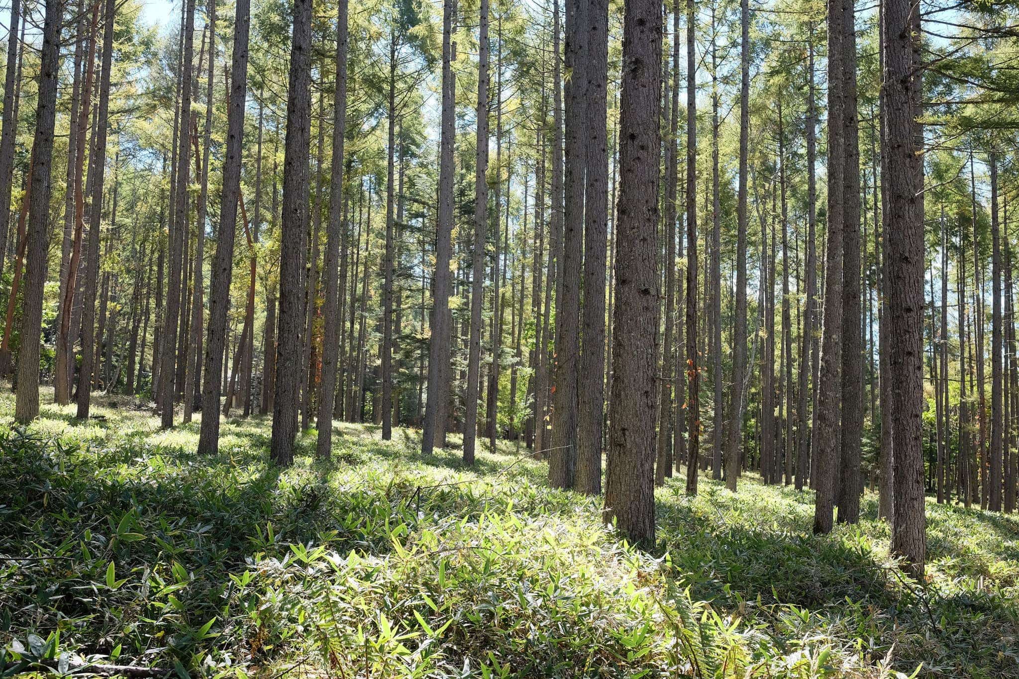
The first section of the trail is a 4.2km scramble up a valley littered with large boulders to Takashimi (高見石), followed by a short downhill stretch to Shirakomaike Lake (白駒池). The route is well marked by red and white spots painted on the rocks.
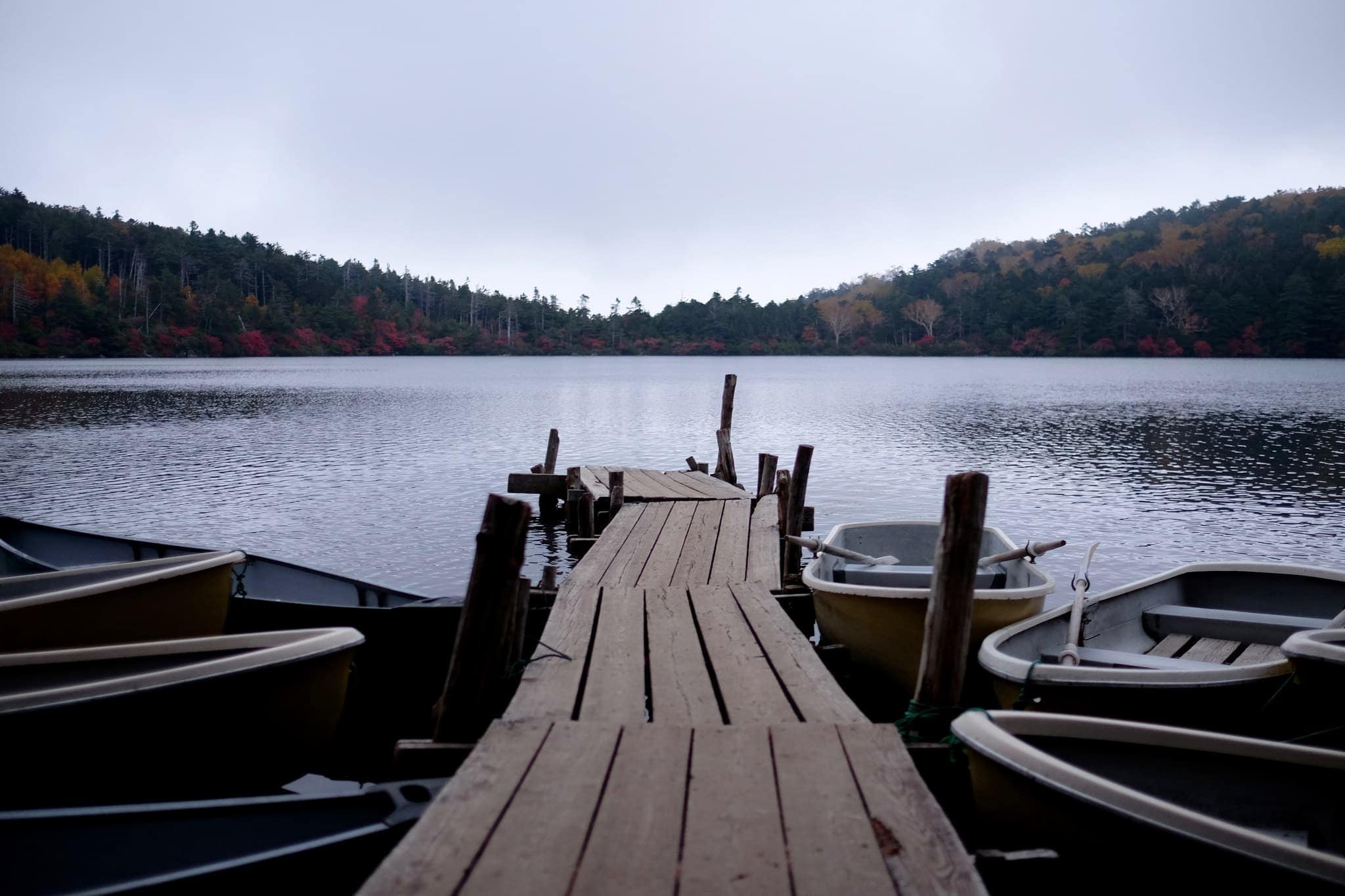
It was dusk once we reached Seitaisou camping site (青苔荘) beside the lake and we scrambled to put up the tent by the light of our small lantern. Once this was achieved we cooked a basic meal for dinner and then bedded down for the night.
Day 2 (6.7km) – Shirakomaike Lake
Seitaisou campsite → Oren campsite (オーレン小屋)
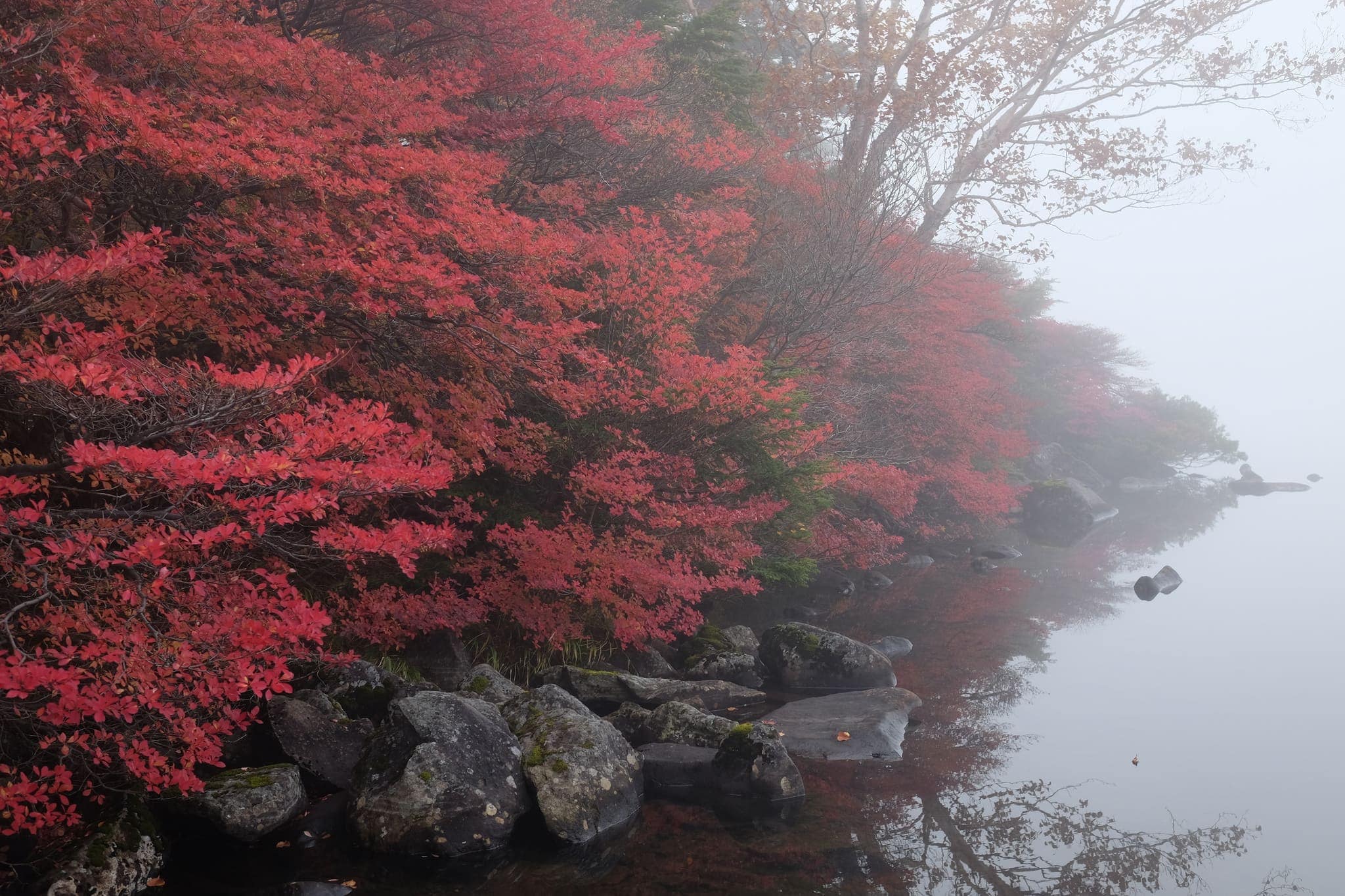
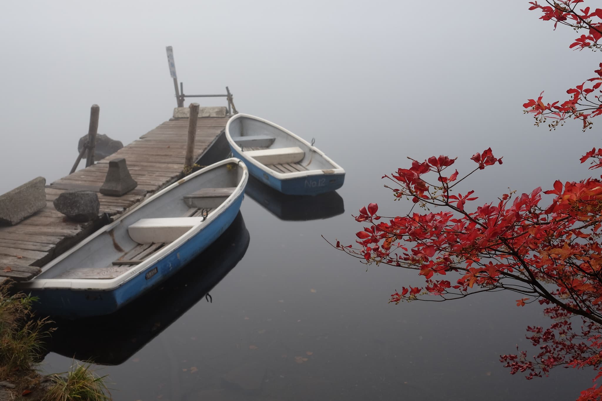
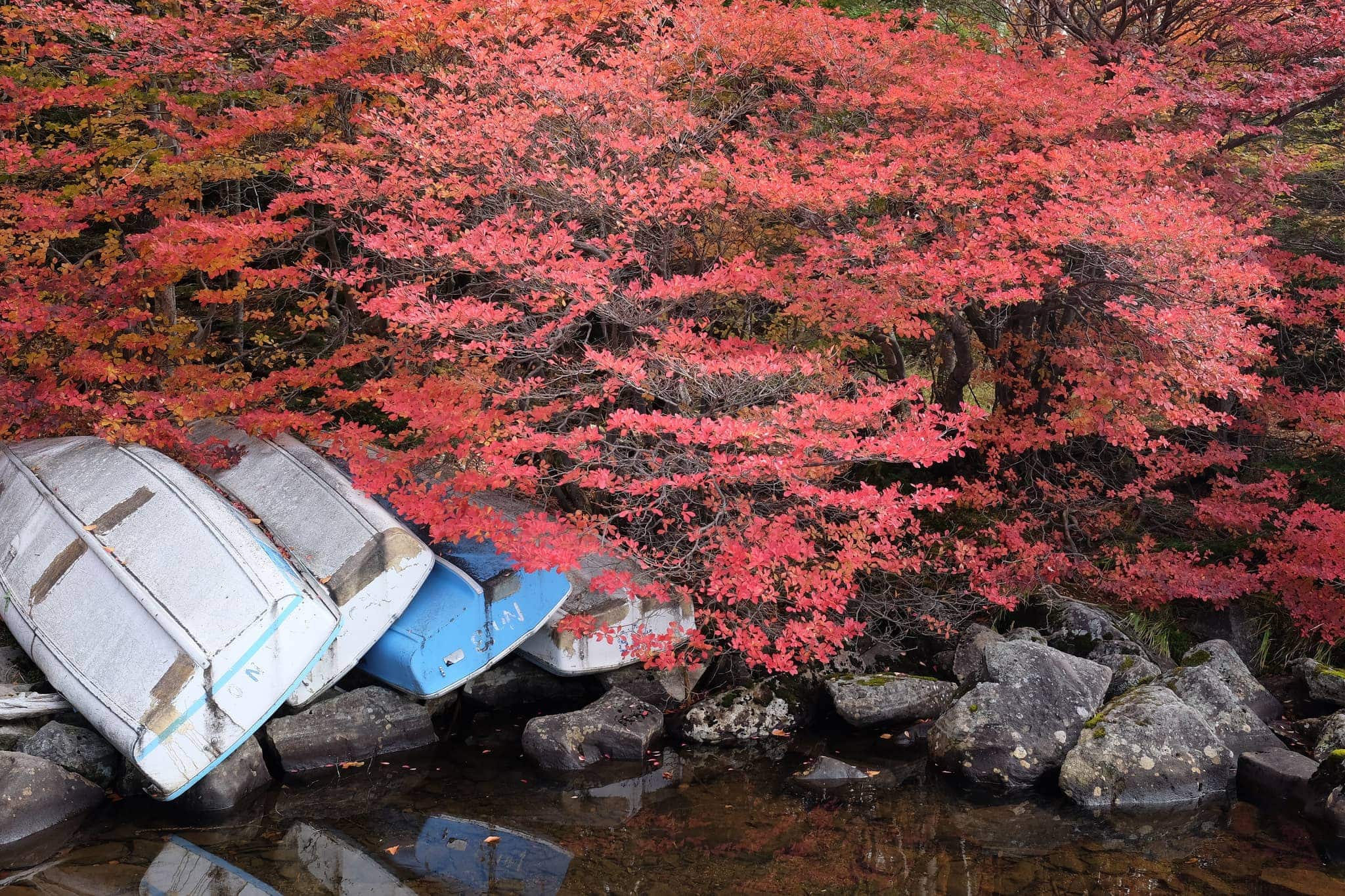
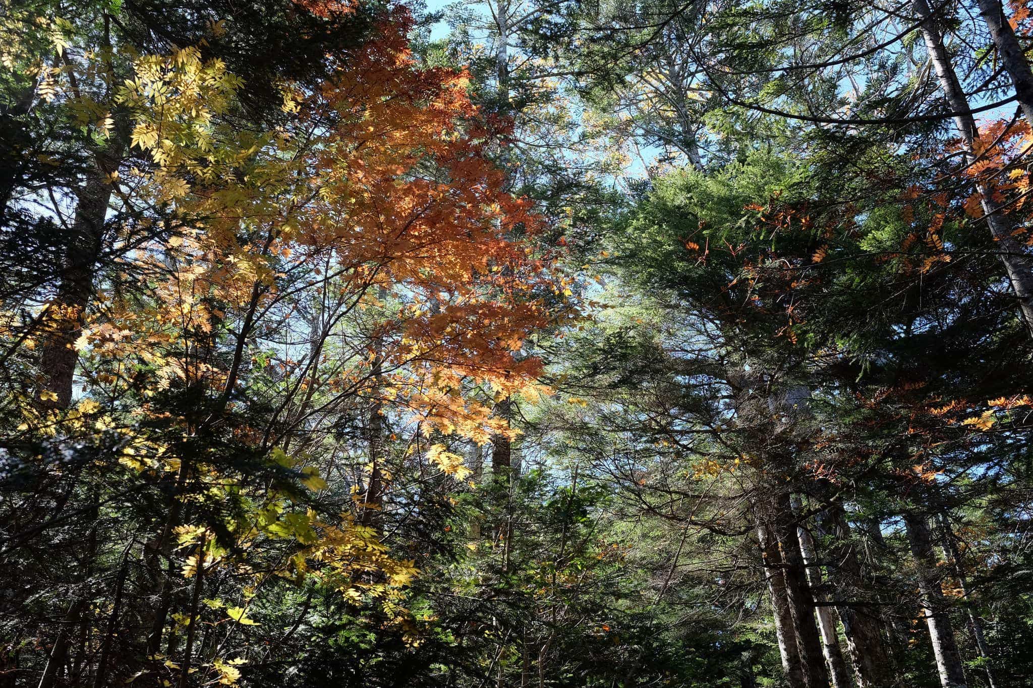
After a cold night devoid of meaningful sleep we awoke early and discovered the lake was shrouded in thick mist, providing a beautifully eerie contrast to the bright red autumn leaves lining its edge.
We warmed ourselves up with oatmeal for breakfast and then packed up the camp – departing a little after 8 am.
Walking back around the lake, the mist had lifted, giving way to a bright crisp morning, perfect for the hike ahead.
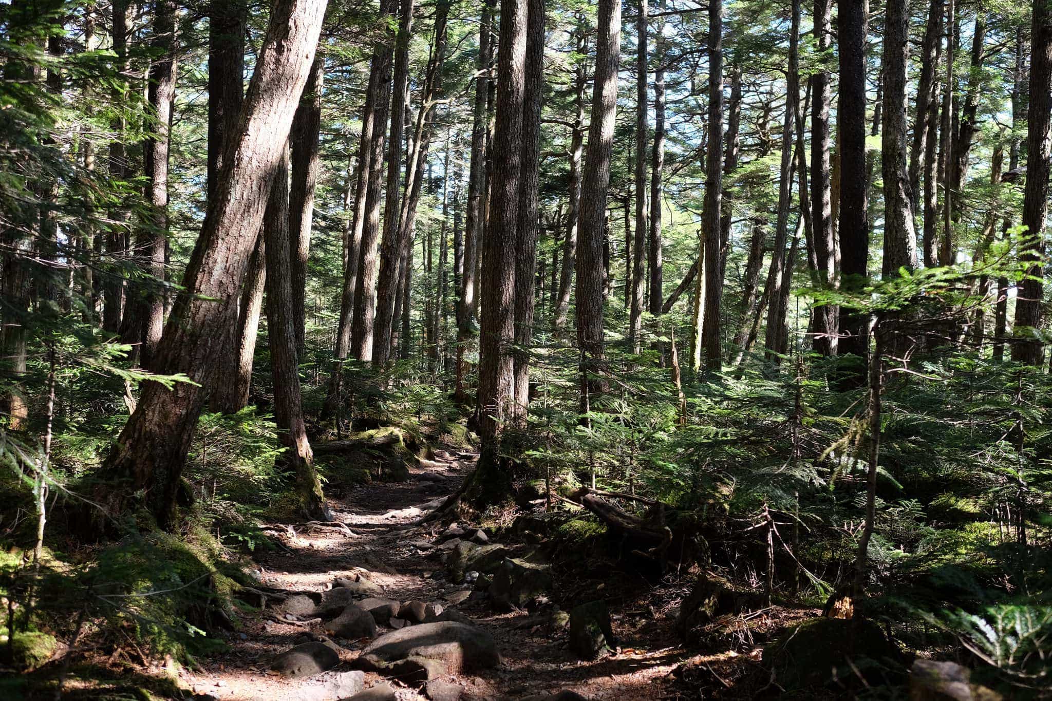
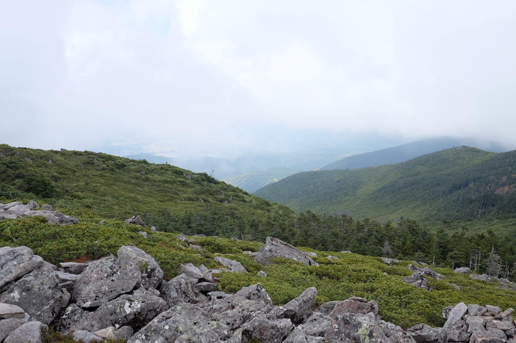
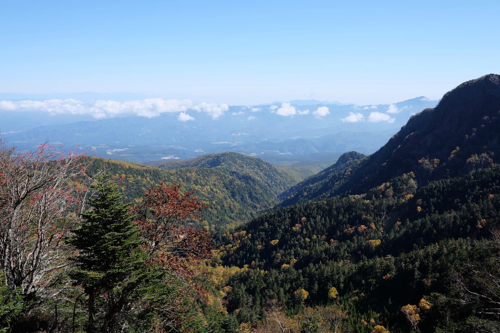
Heading steeply uphill through the dense forest we reached the peak of Nakayama (中山) at 2496m in a little under 2 hours which provided our first proper view of the landscape.
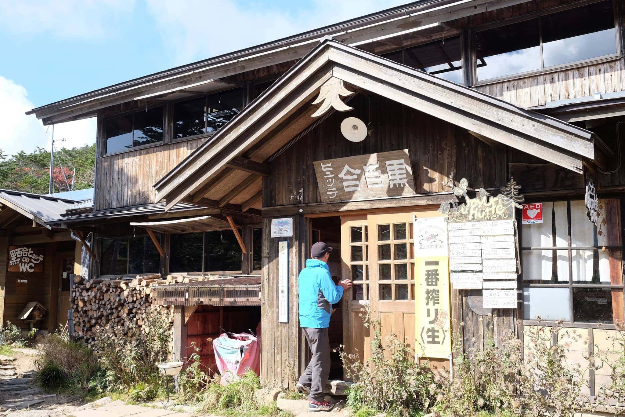
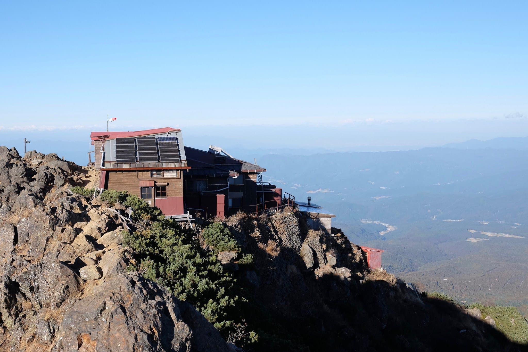
40 minutes later we reached Kuroyuri Hyutte (黒百合ヒュッテ) hut where we stopped for an early lunch of ramen and curry rice.
Pushing forward along the ridge from Higashi tengo (東天狗) towards Mount Mikaburi (箕冠山) we were afforded spectacular views of the rolling clouds absorbing the oversized landscape around us.
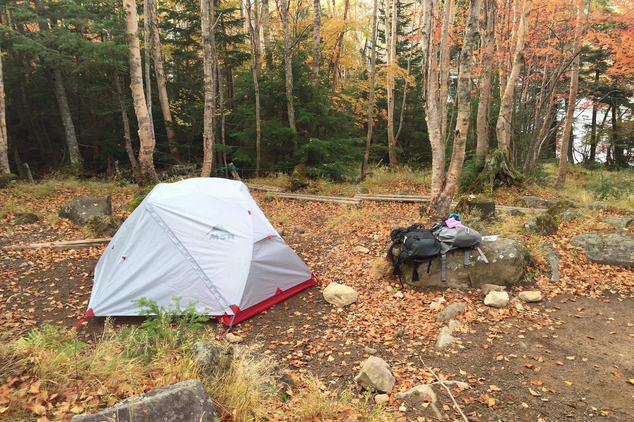
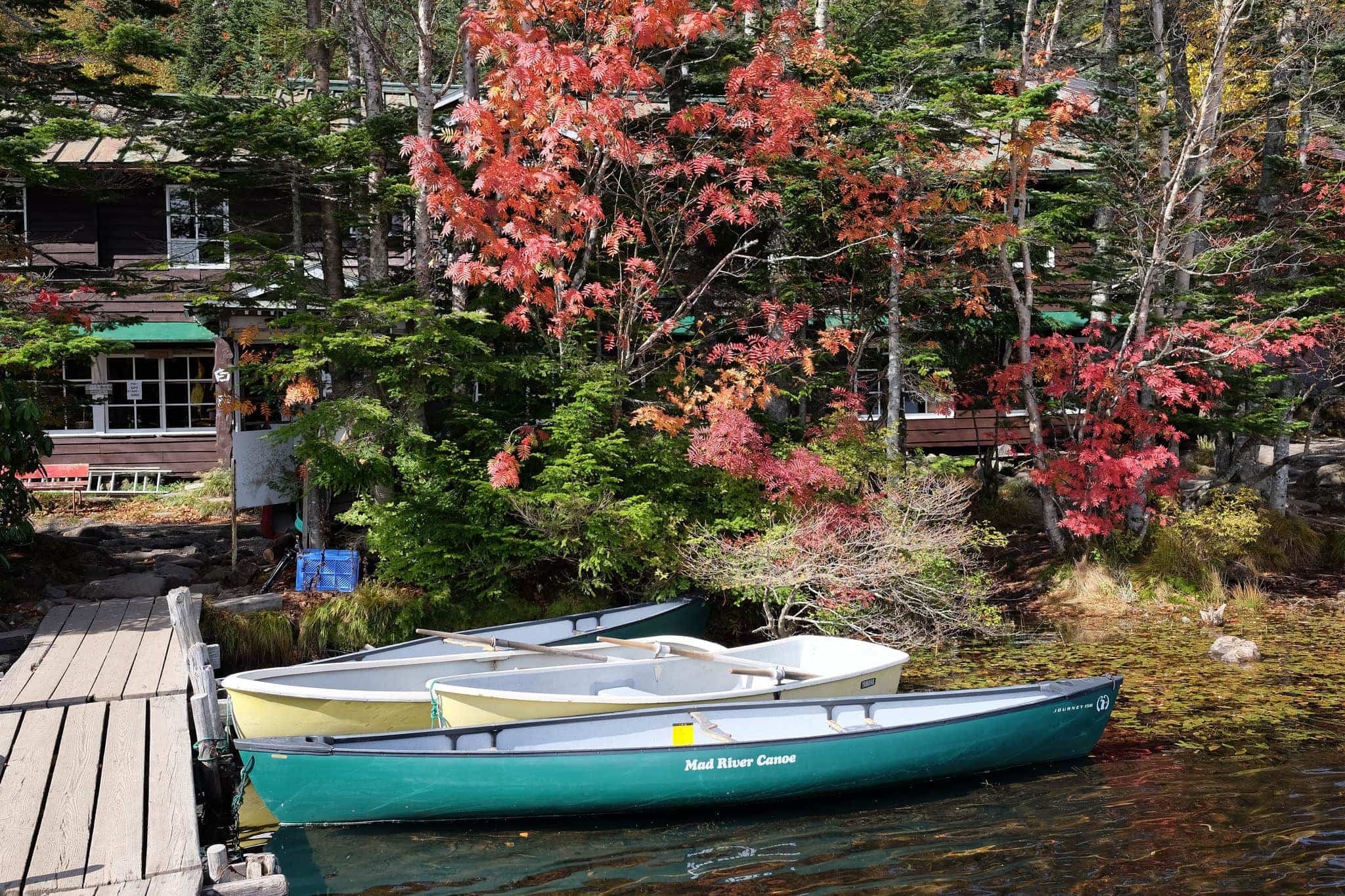
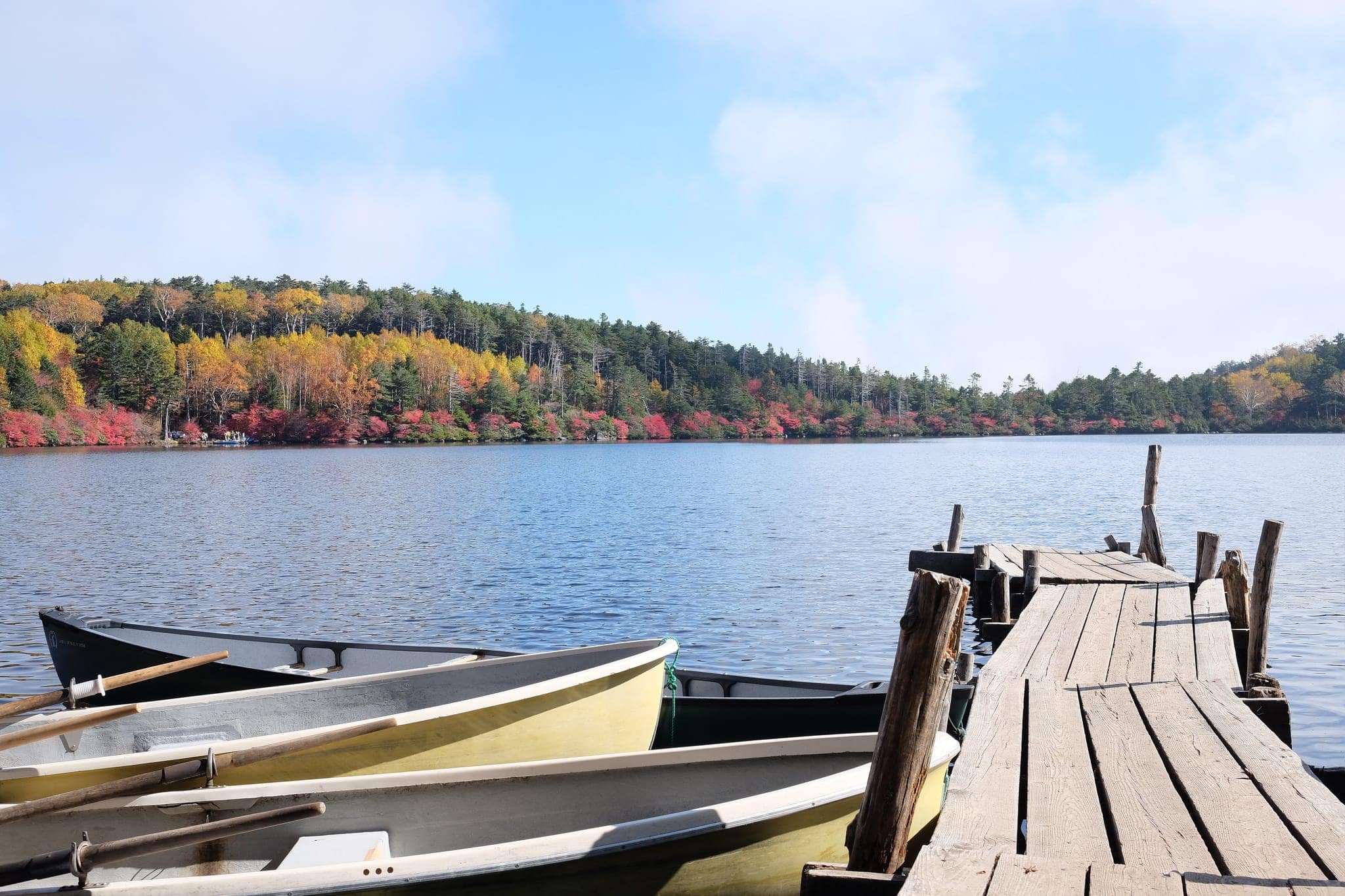
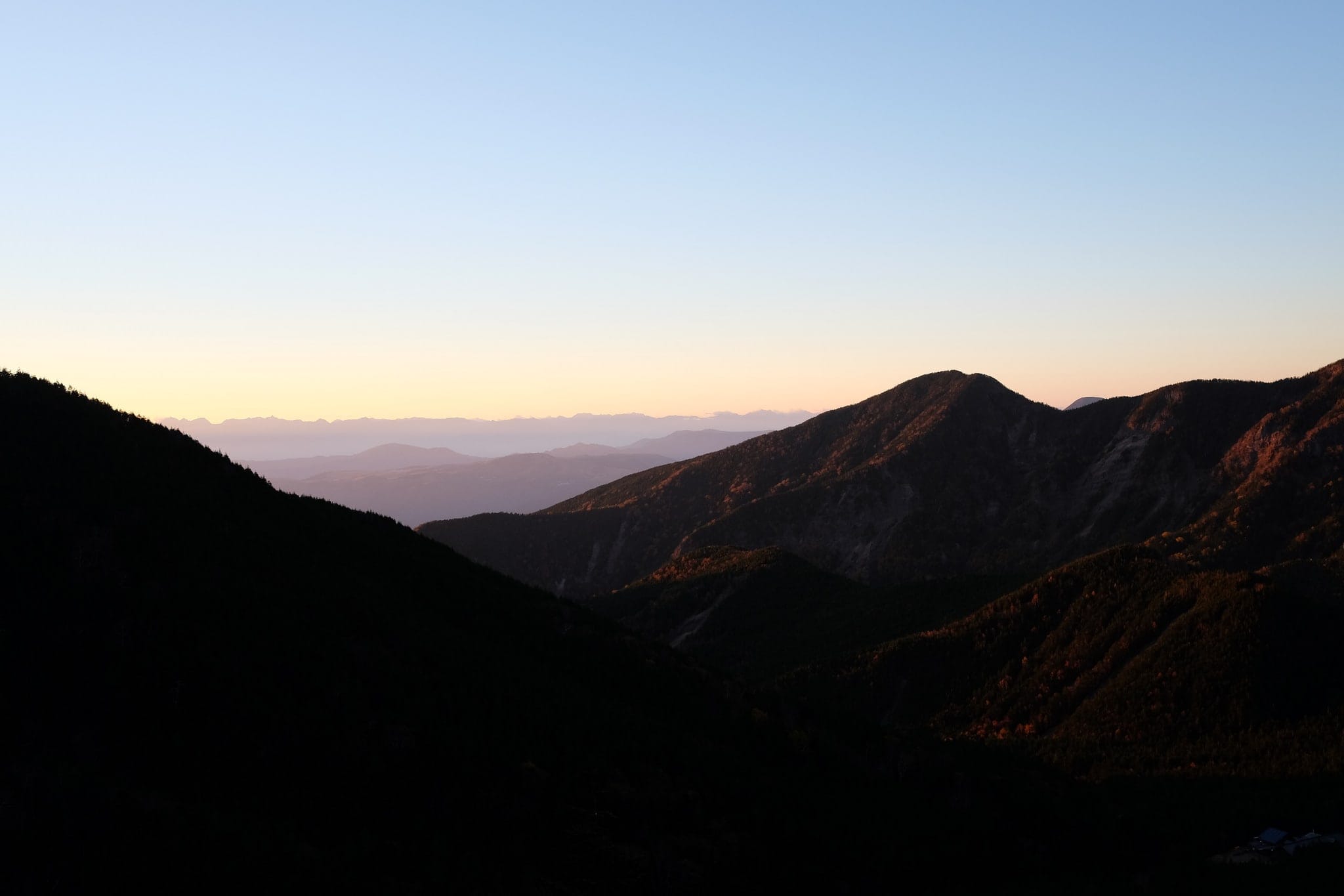
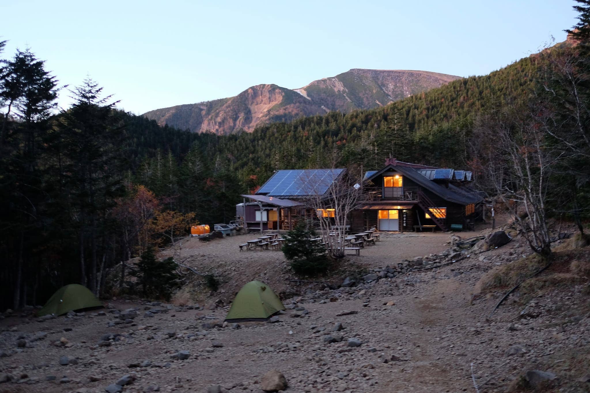
We arrived at Oren camping site (オーレン小屋) around 4.30 pm and located a suitable spot to pitch our tent among half a dozen other campers, stopping momentarily to enjoy the sunset over the mountains we would be climbing tomorrow.
The hot onsen bath and wood burner in the lounge at Oren was much appreciated given the falling temperatures. We stayed inside practising our limited Japanese with the manager until getting kicked out at 9 pm.
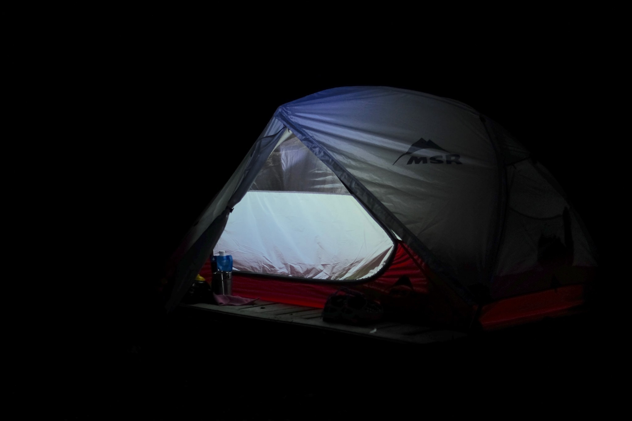
We bid a hasty retreat to our tent where we quickly settled down for the night, wearing almost every single piece of clothing we had with us.
Day 3 (5.6km) – Mount Aka
Oren campsite → Mino Toyama sō hut (美濃戸山荘)
Temperatures dropped to 2°C overnight which meant long hours of shivering while impatiently awaiting dawn. Just getting the stove to light in the morning was a challenge with both fuel and water being at freezing point.
Having miraculously knocked together bacon and egg sandwiches we left Oren in the knowledge that another night outside was not an option, providing us with the impious to reach our destination by nightfall.
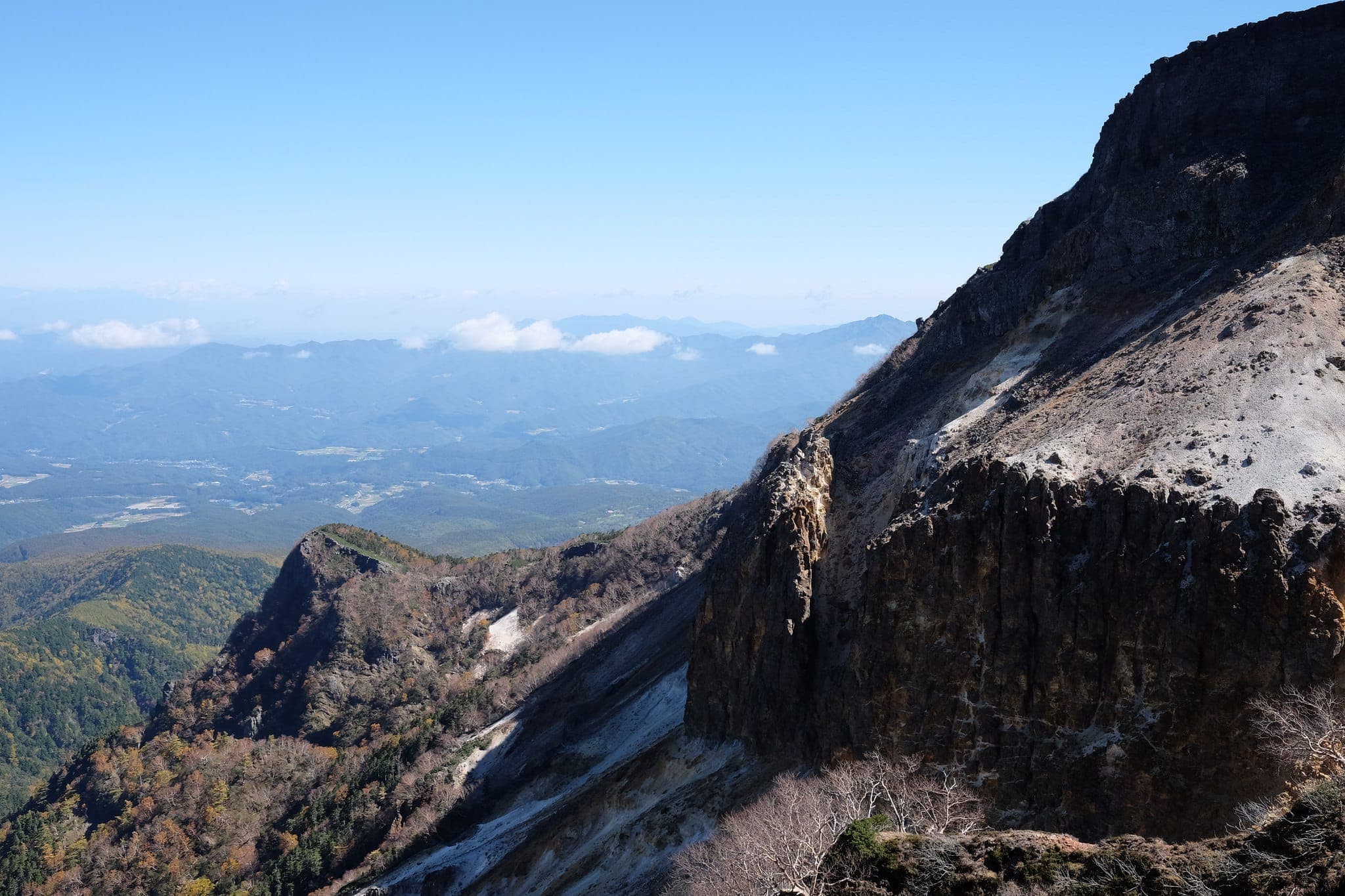
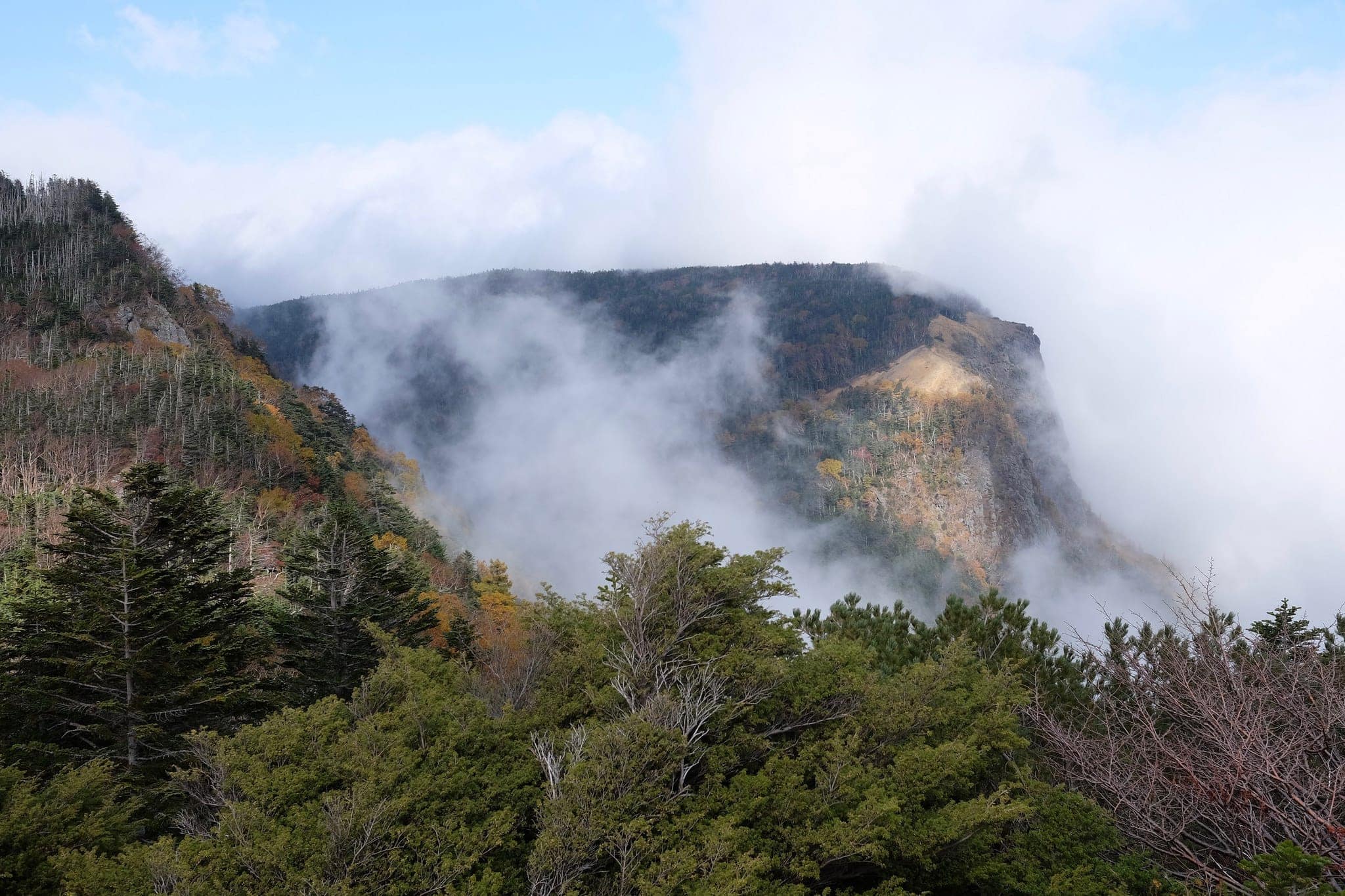
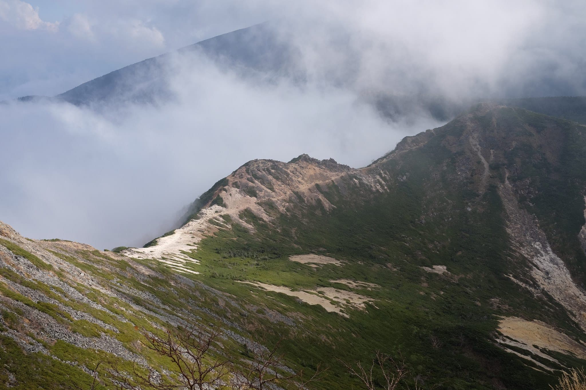
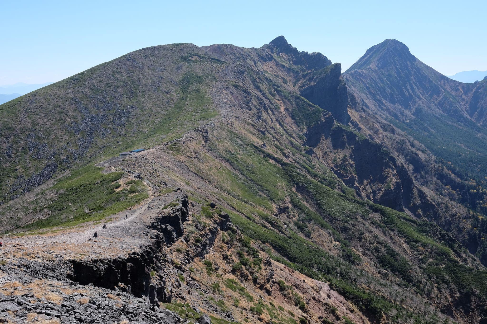
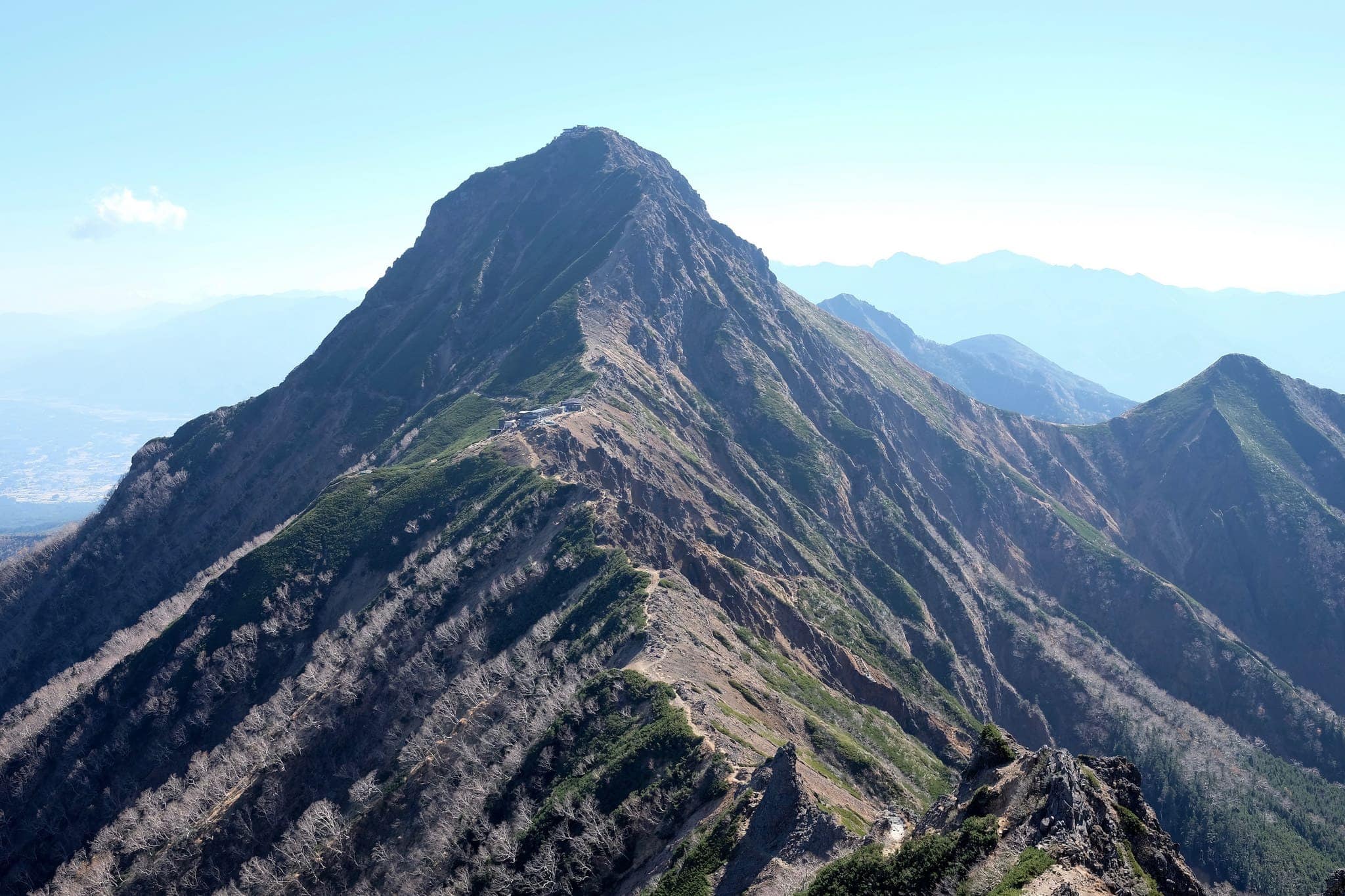
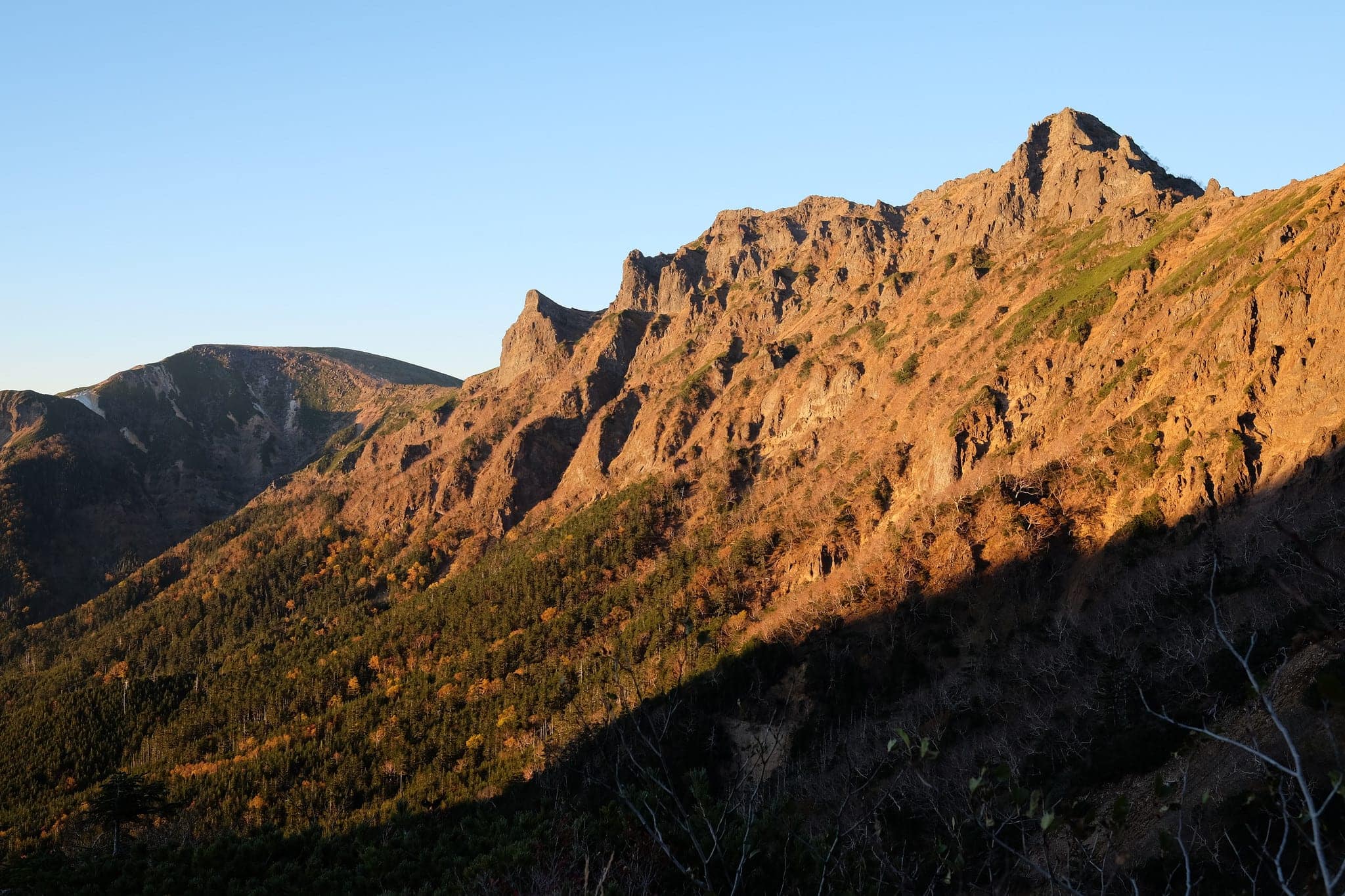
The morning began with a brisk 1.5-hour hike up to the flat peak of Mount Iō (硫黄岳) by way of Natsuzawatoge (夏沢峠). From here the view opened up on the rest of the jagged mountain range we’d be traversing that day.
We sat down for a soothing cup of tea beside a rugged stone shelter while we surveyed the daunting challenge ahead.
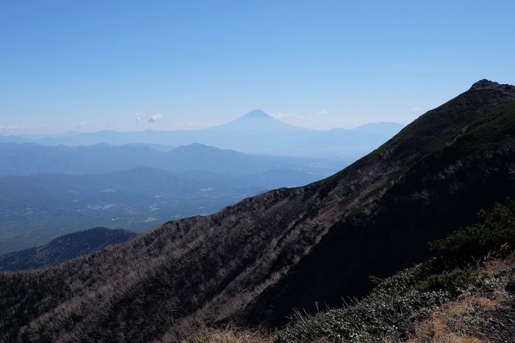
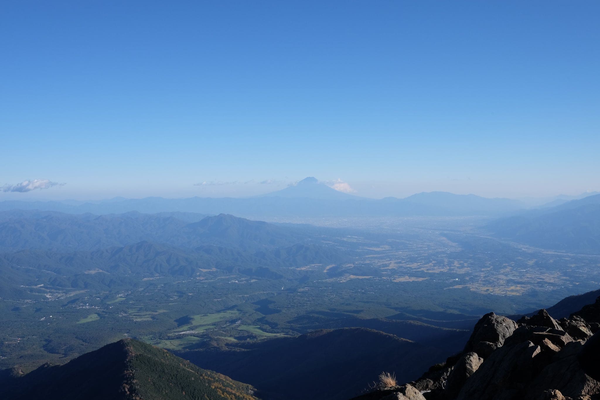
Forging past Iodake Sanso (硫黄岳山荘) we caught our first glimpse of Mount Fuji before the relatively smooth path rose to meet the sharp tip of the ridgeline. It looked seemingly impassable from a distance.
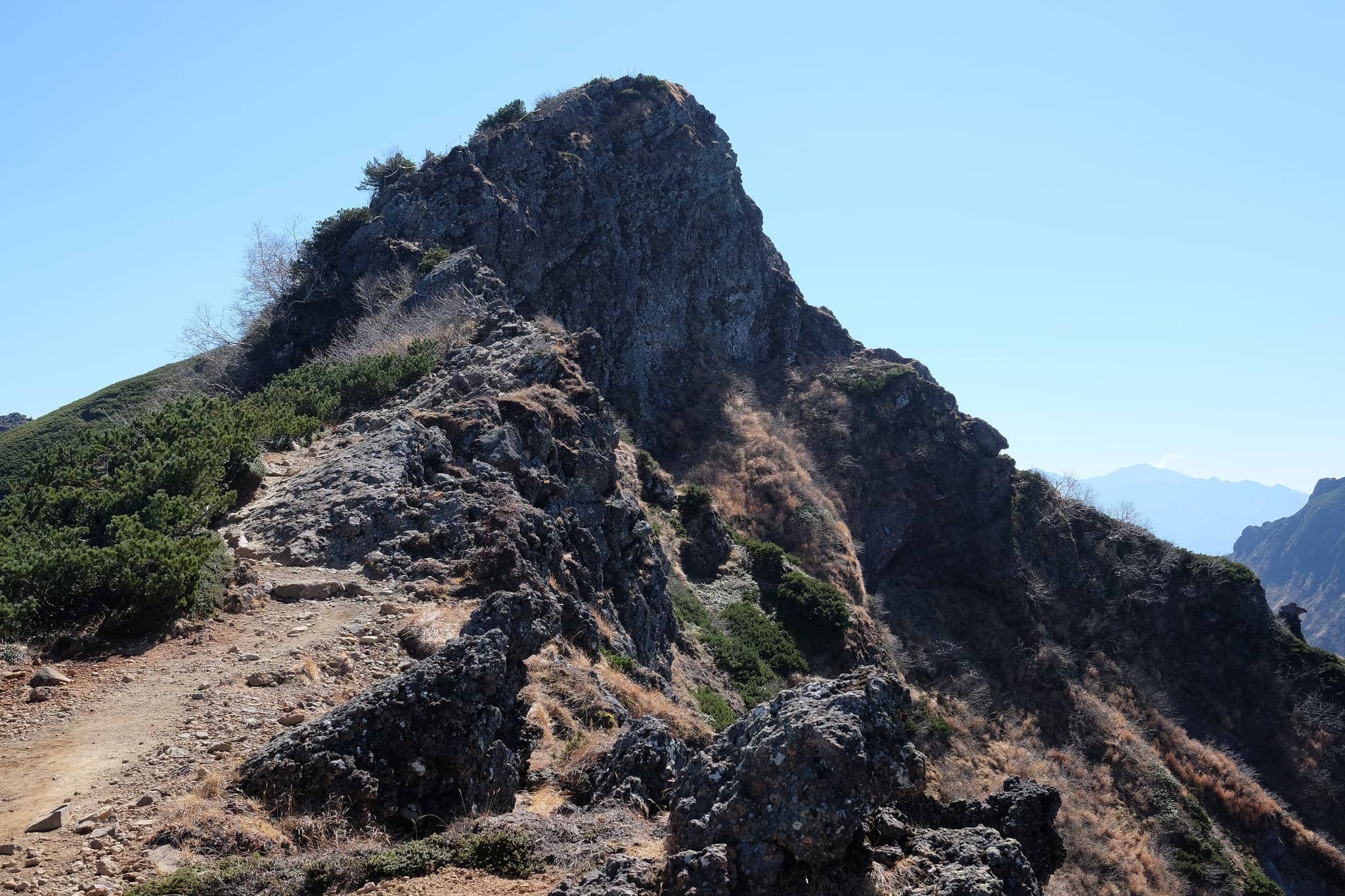
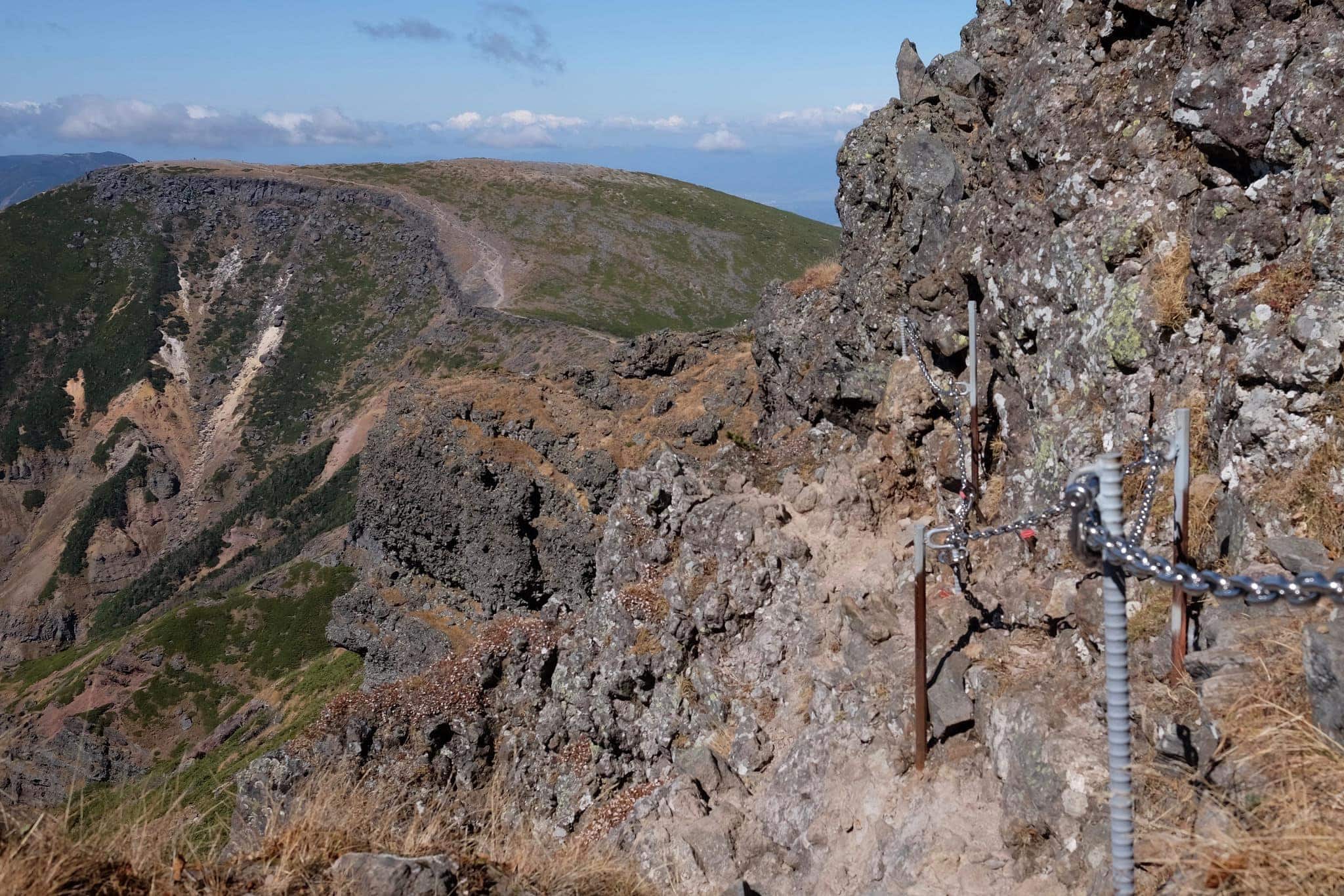
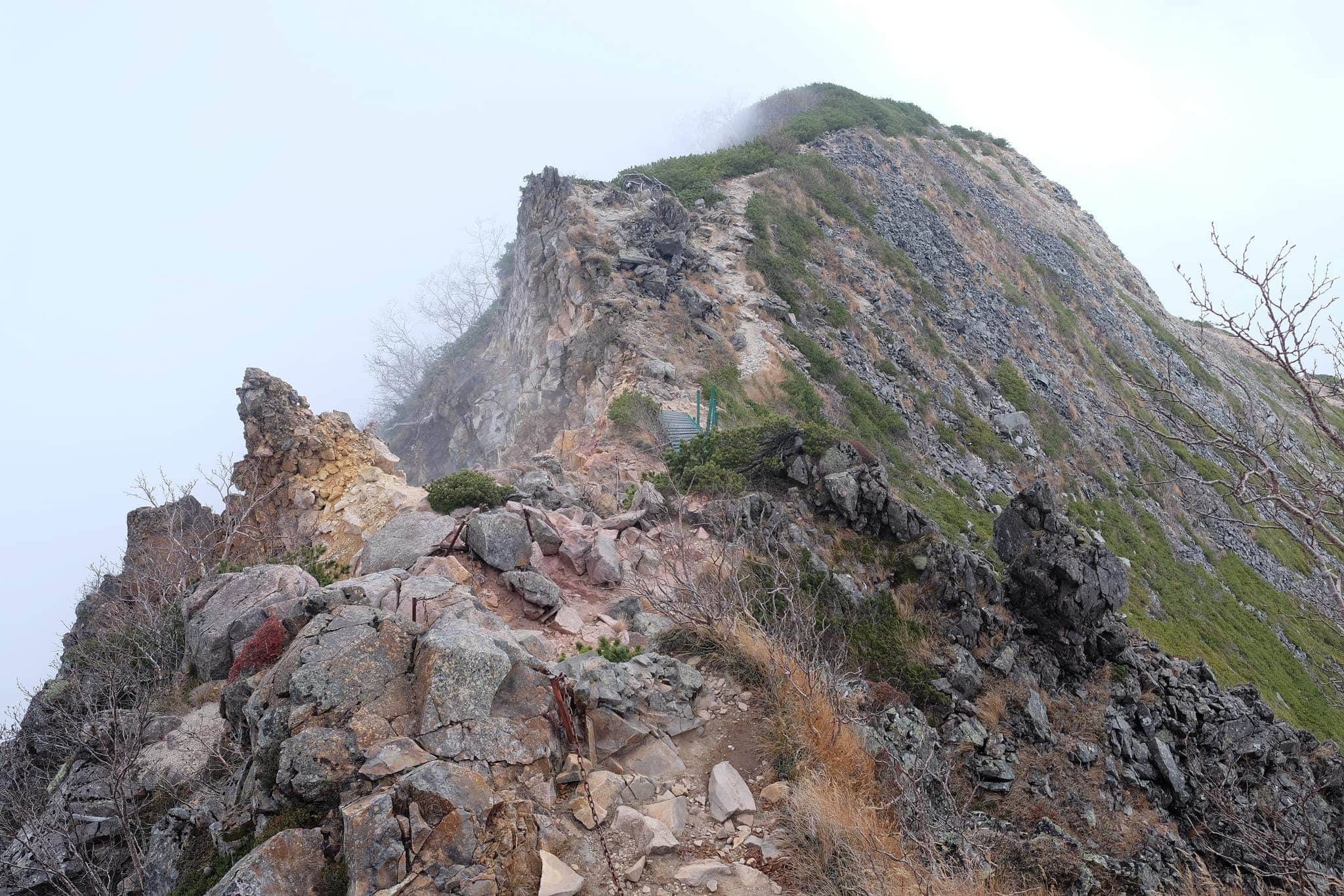
From here the trail quickly turned into a perilous scramble along narrow ledges flanked by steel chains and ladders. Progress was slow as we had to watch our every step to prevent a 2800m drop into the abyss.
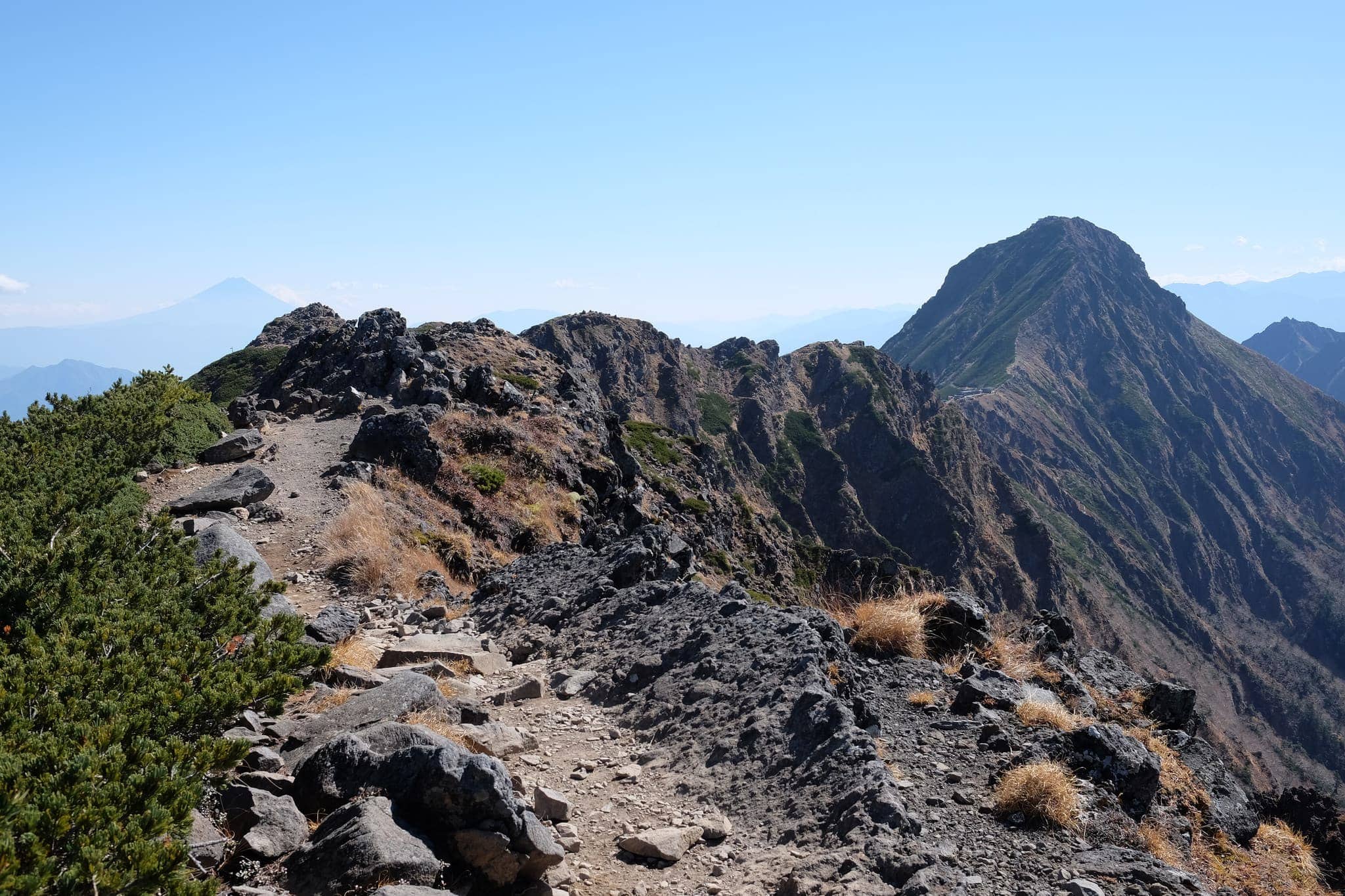
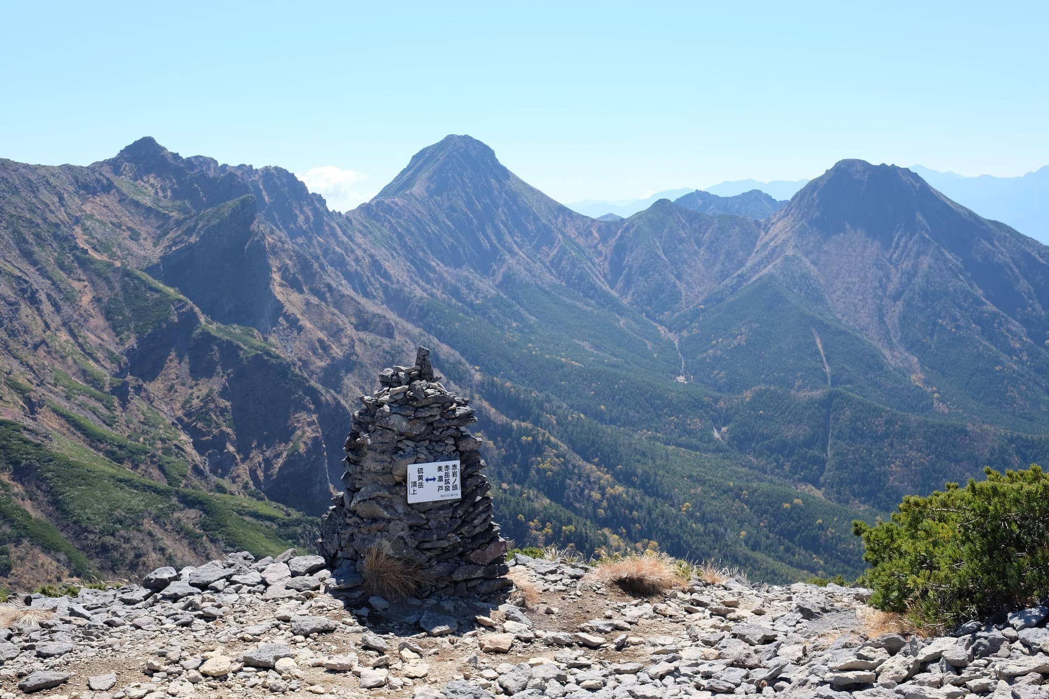
Reaching Mitsumata-ho (三叉峰) an hour later our target came into clear view and I nervously surveyed the near vertical ascent required to reach the peak.
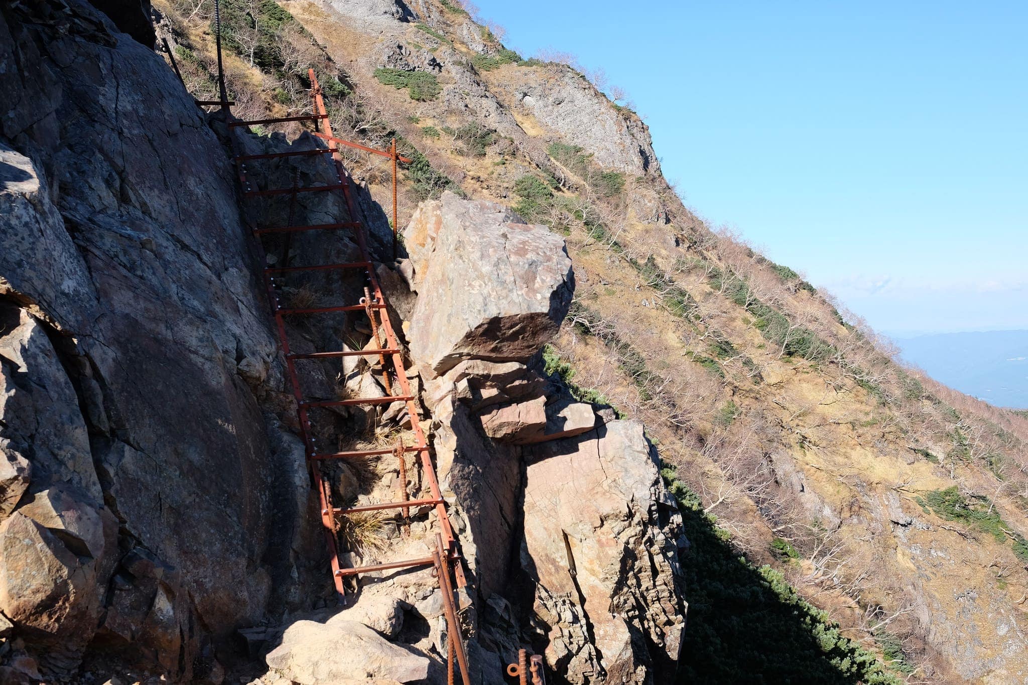
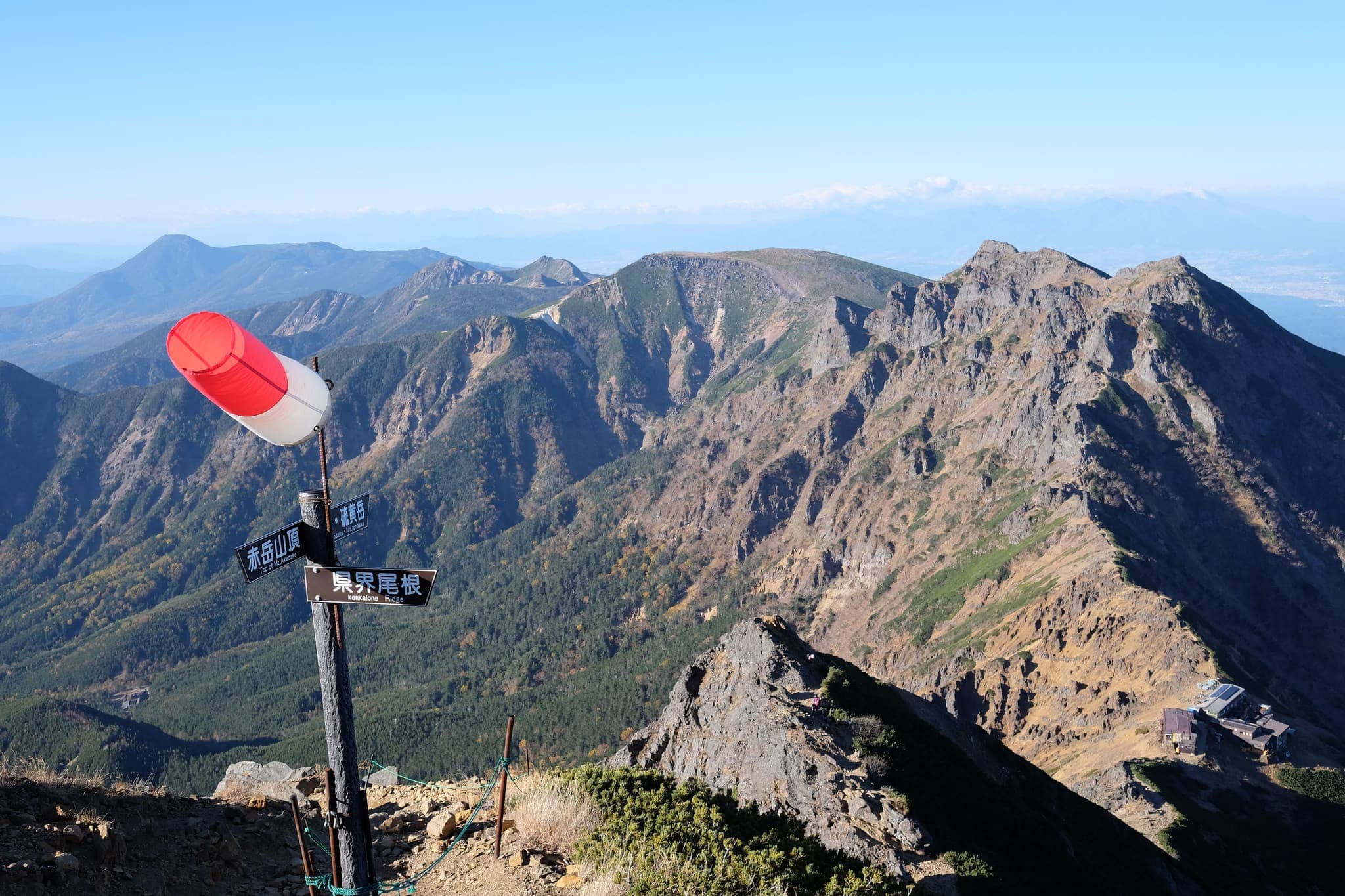
The final push to the top of Mount Aka (赤岳), ascending a bed of loose regolith with the wind threatening to push us over the edge, was every bit as nerve-wracking as I imagined. Both hands were needed the entire time to cling onto the sheer rock face so the camera was kept in my bag!
No sooner as had we reached the 2899m peak I had barely stopped to admire the magnificent views before I started to worry about how we were going to get back down. With less than an hour before sunset and the wind picking up, it wasn’t a very enticing prospect.
The route down wasn’t entirely clear but luckily another pair of hikers were able to point us in the right direction.
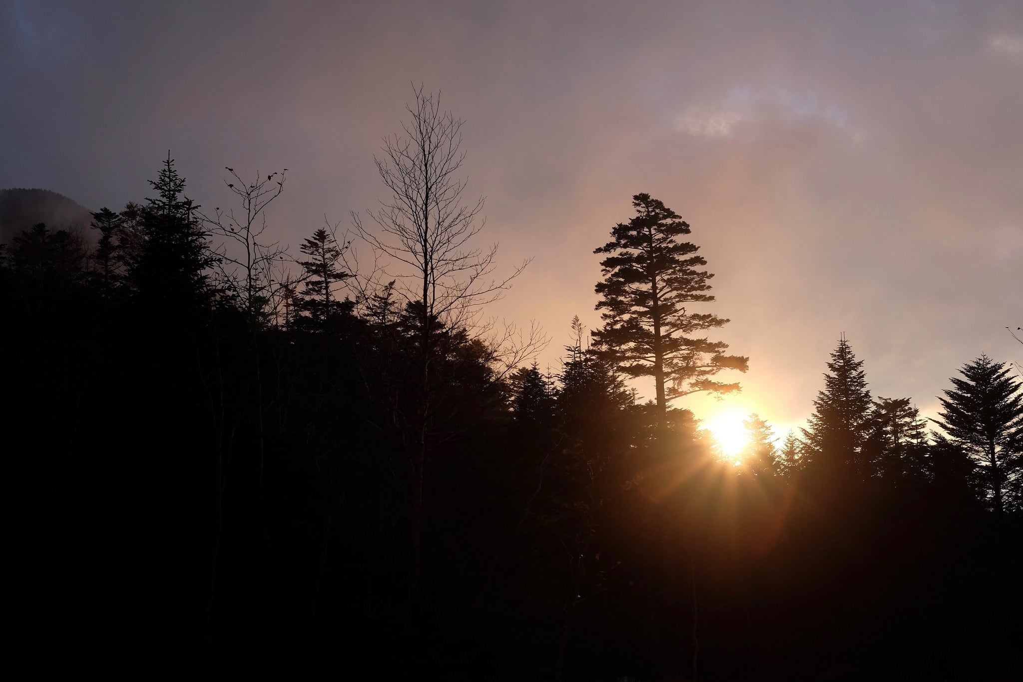
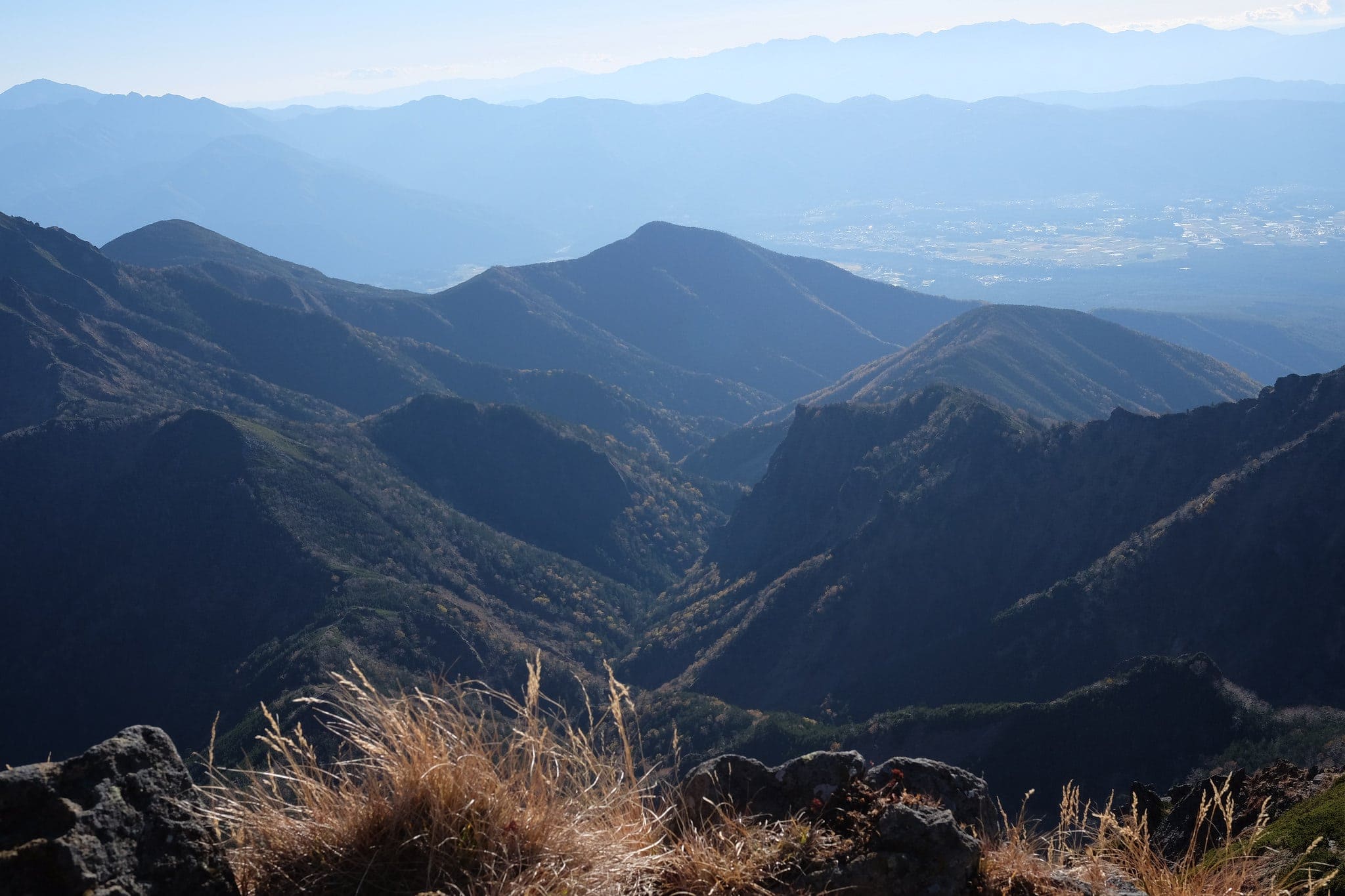
Fortunately, the descent was only half as terrifying with metal stairs covering about half of the route. Moreover, we got to experience one of the most beautiful sunsets over the mountains I’d ever seen.
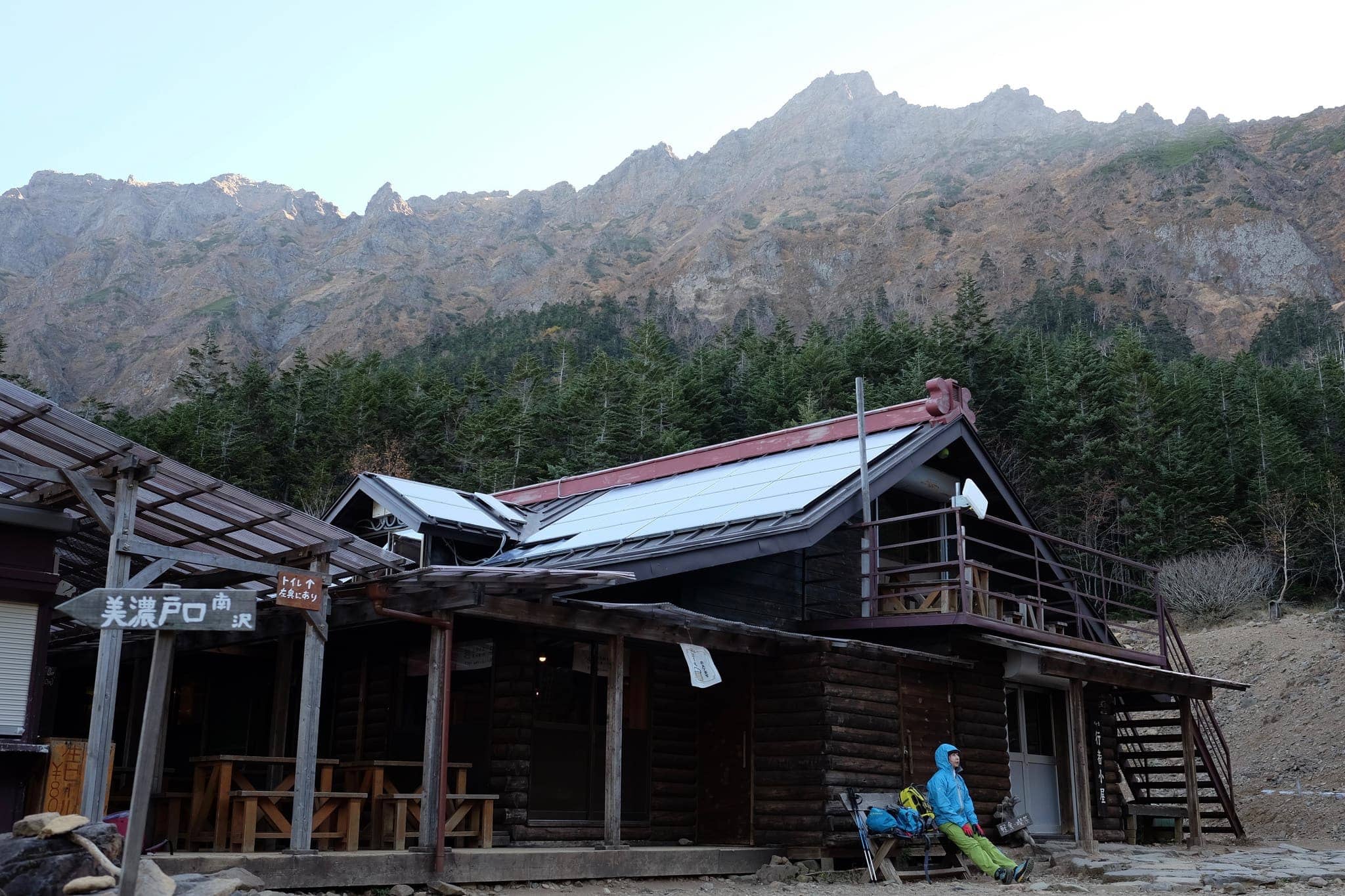
We arrived at Gyojakoya hut (行者小屋) at 6 pm just as the light was about to give out. Its warm glow couldn’t have been more welcome and we made it just in time for dinner – curry beef with rice, salad and soup.
After briefly chatting with the two old gents, who were the only others staying there, it was time for lights out promptly at 8 pm. Given the previous two nights outside, the warm blankets were a dream come true.
Day 4 (7.9km)
Gyojakoya hut → Minotoguchi (美濃戸口)
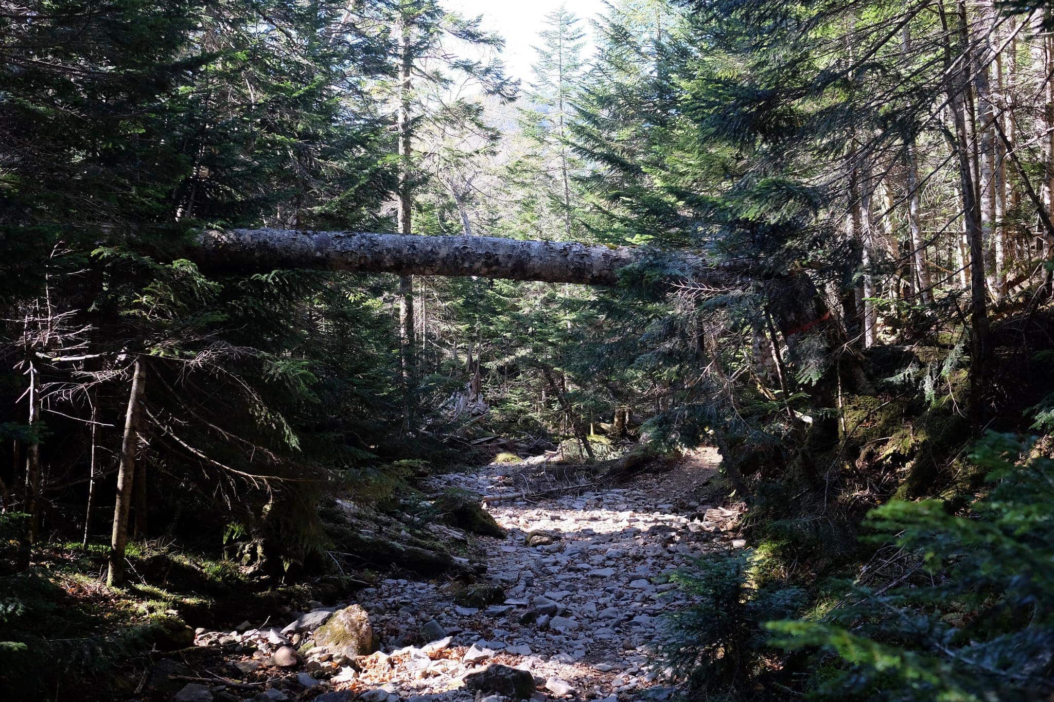
We were woken at 6 am sharp for an early breakfast after which we left the hut around 8 am and began the slow trek down the picturesque valley and back to civilisation.
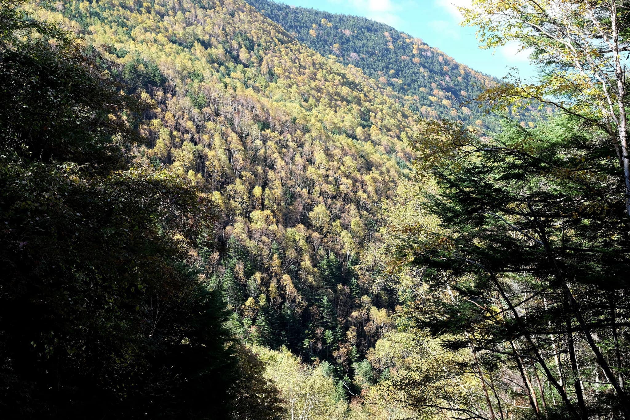
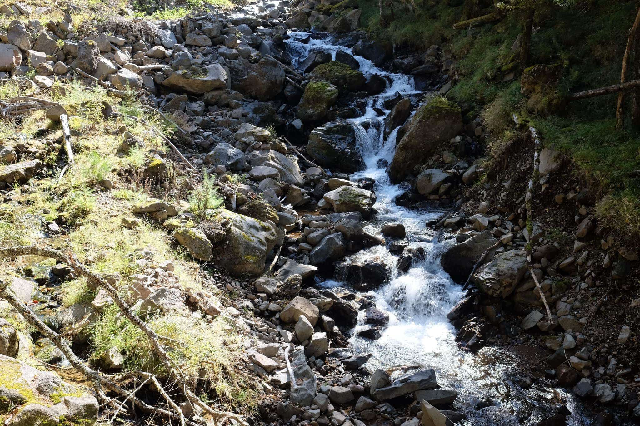
The route followed a dry riverbed which turned into a small stream and finally a full-blown river. We passed quite a few hikers going the opposite direction and were glad to be the ones heading down this time.
We reached Minotoguchi (美濃戸口) just in time for the 11.20 bus back to Chino station (there’s another at 14:45). The train journey passed by in a weary haze.
Given our inexperience, it felt like quite an achievement and despite the lack of warm clothing, we were very lucky with the weather. I can’t wait for the spring so we can get back out there!
Leave a Reply to Lake Suwa | Okunomichi Cancel reply