King’s Road in Hong Kong is the major street that runs east-west along the northern shore of Hong Kong Island, extending all the way from Causeway Bay to Sai Wan Ho. If you visit HK you’ll likely end up travelling along the street at some point, whether it be by foot, bus or tram above ground or MTR underground.
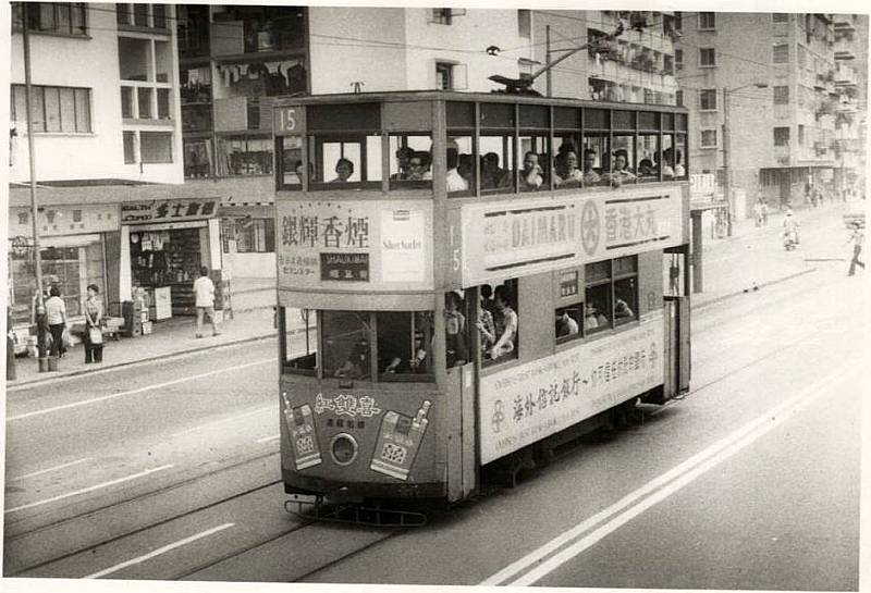
Earlier in the year, I came across a treasure trove of historical photos on a local forum showing the area around North Point (北角) and Quarry Bay (鰂魚涌) mostly from the 1970s and ’80s.
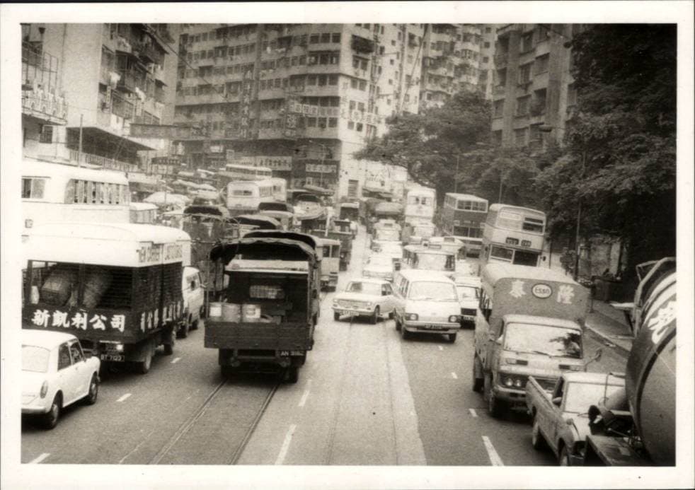
As I browsed through the collection I noticed that some looked familiar and it turns out this was because they were taken along the stretch of Kings Road where I was living at the time.
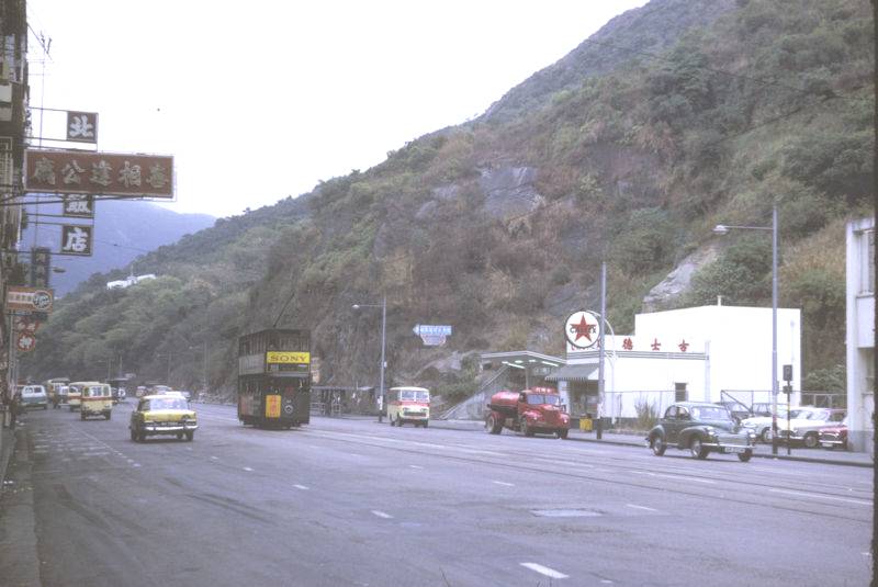
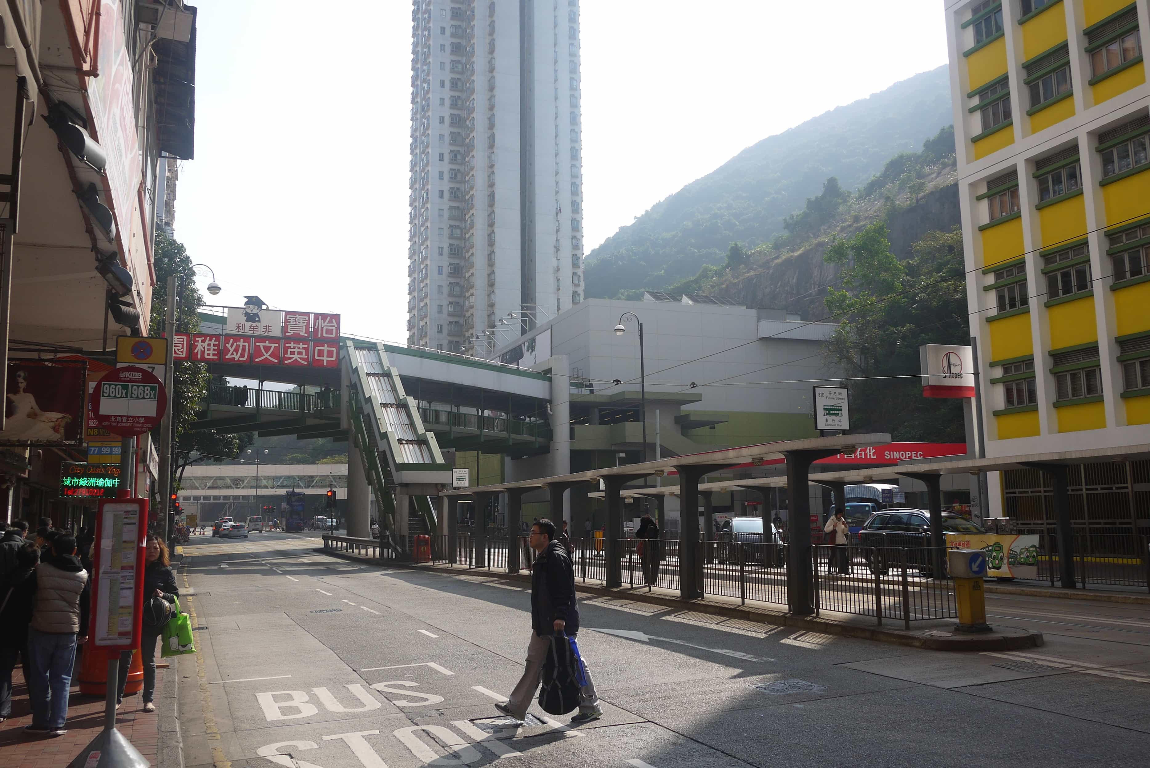
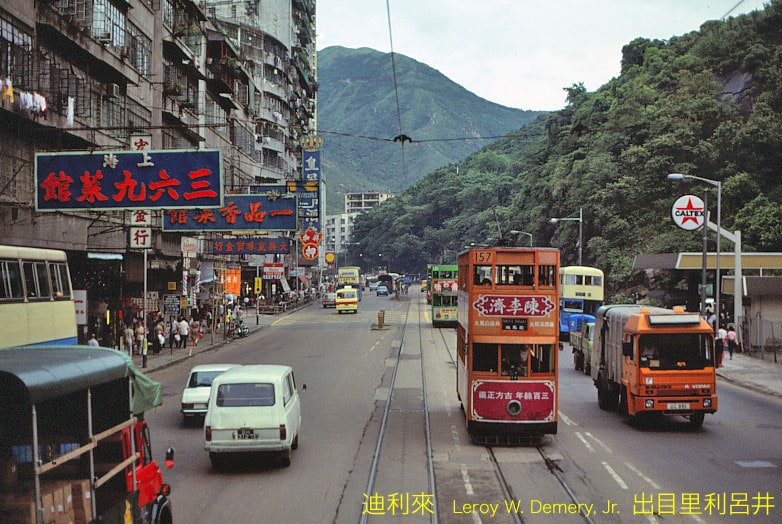
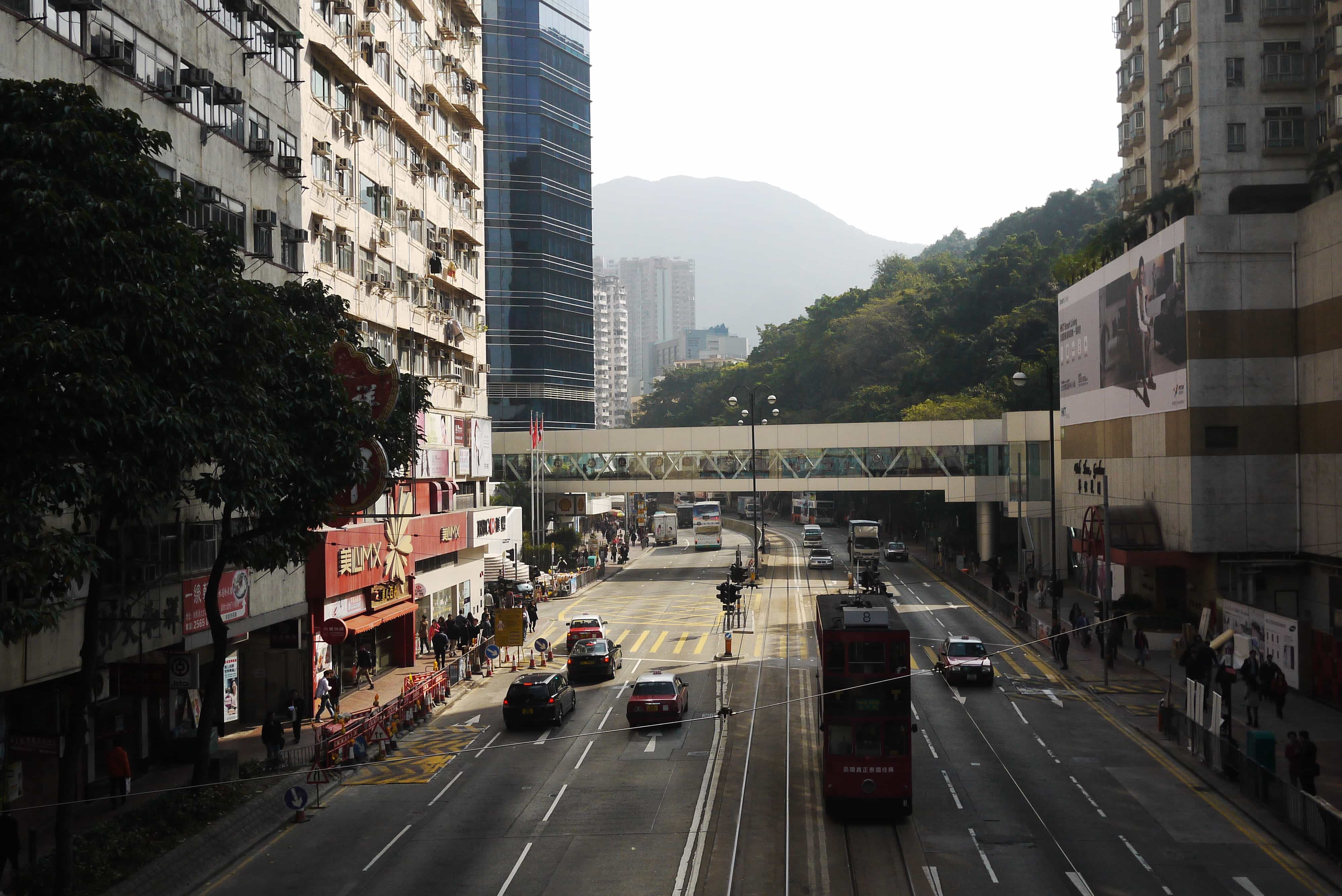
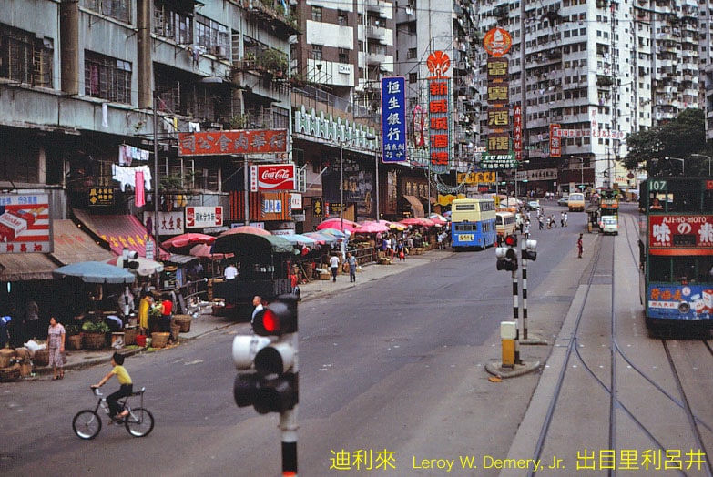
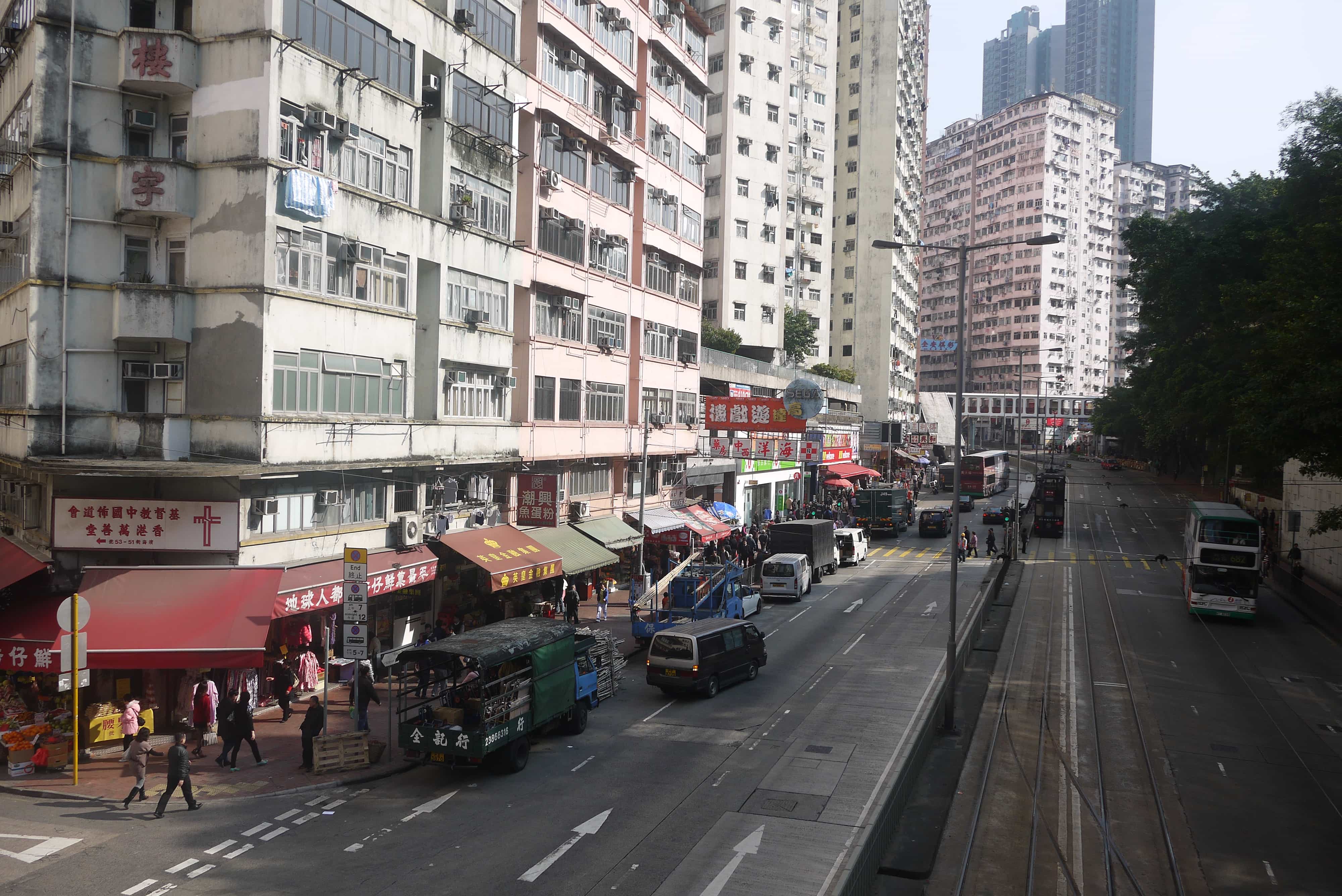
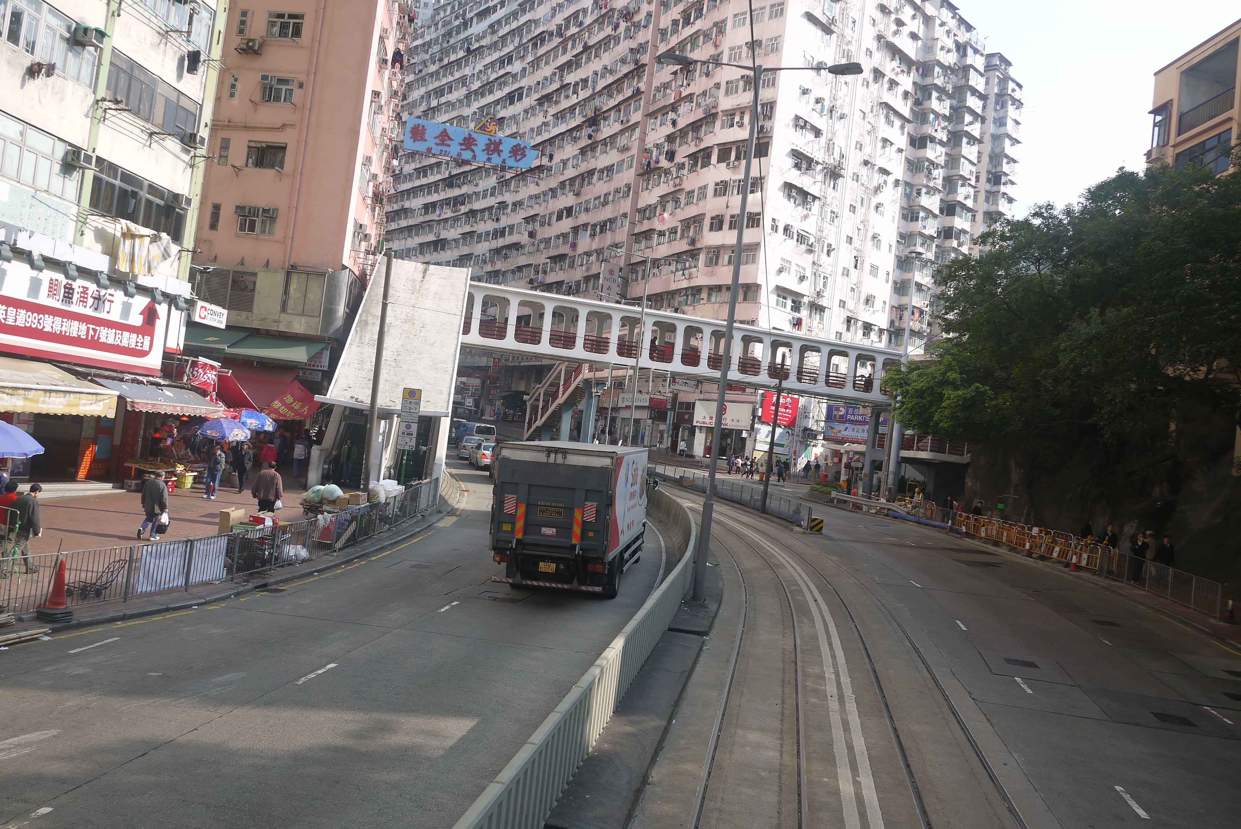
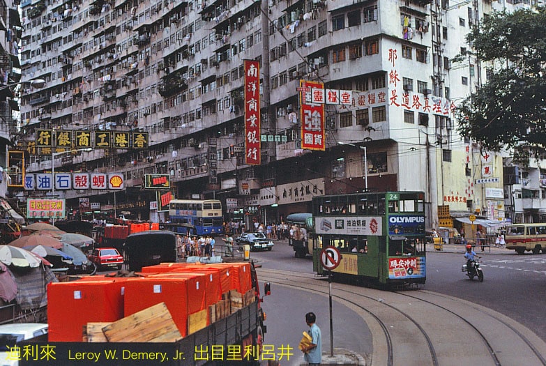
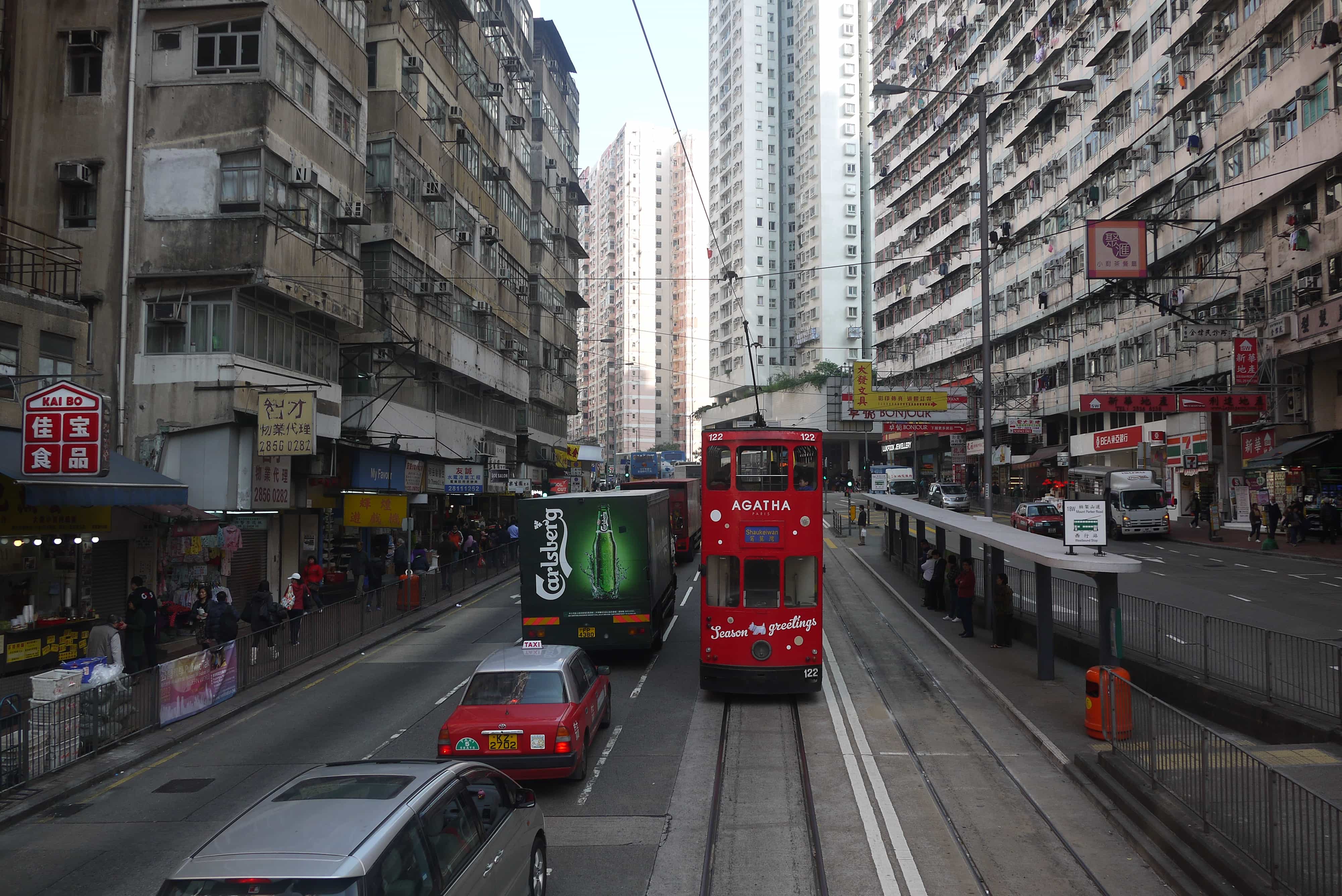
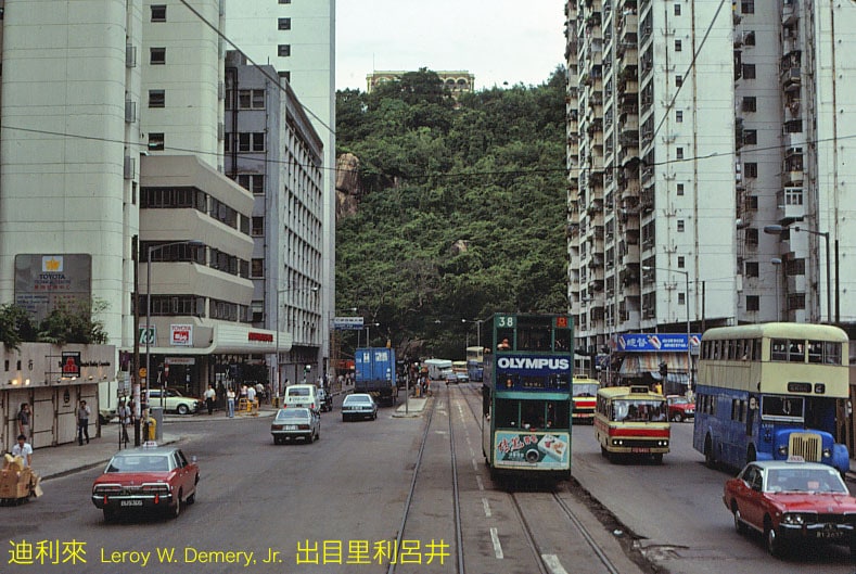
Me being me I decided to go out and take some comparison shots which you can see above. Although a few of the older buildings have been rebuilt and there’s now the MTR station amazingly it hasn’t changed as much as I expected!
Above is a video that I shot in 2011 of the tram ride all the way along King’s Road.
Leave a Reply to Nona Pio-Ulski Cancel reply